David Tozer
David Tozer
Sid Sponheimer
Peter Murnaghan
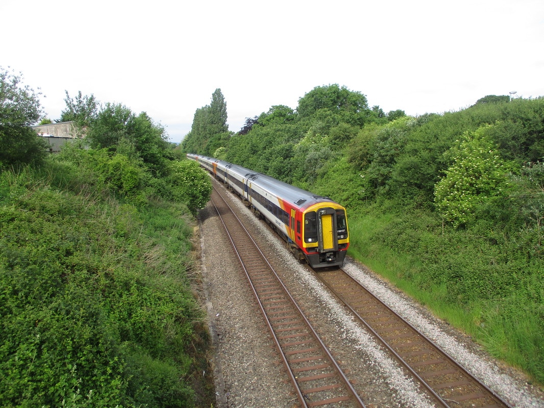
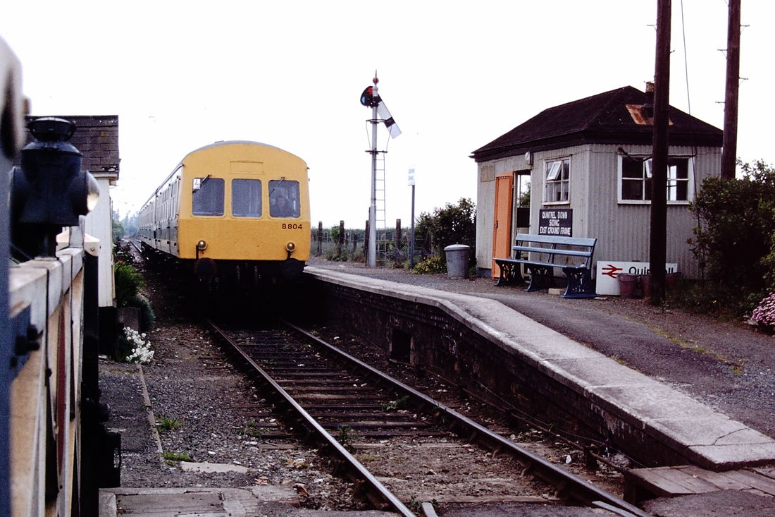
And a word of explanation about the DMU picture. In case anybody thinks that I was standing close to the track, actually the camera was held over the gate from the road side.
Best wishes, Peter Many thanks Peter
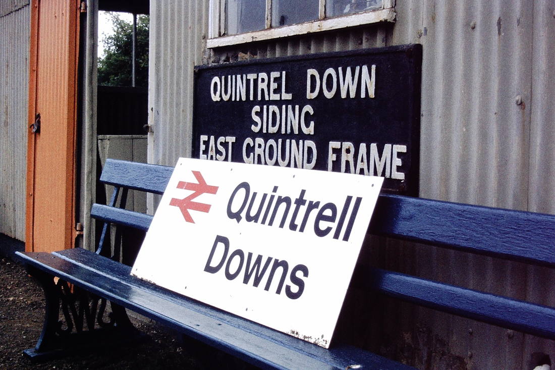
Reference to Google tells us that the area is named after the nearby Downs. Now take a look at the 1892 / 1906 25” to the mile map courtesy the National Library of Scotland website you will find that the nearby downs are named Quintrel. http://maps.nls.uk/geo/explore/#zoom=16&lat=50.4038&lon=-5.0293&layers=168&b=1 Staying on the same website series of maps but moving forward in date you will find that gradually the extra ‘l’ is added. Another facility on this excellent website is the ability to ‘fade in’ a current map – try this and you’ll find the extra ‘l’ is in vogue. In our current age of austerity just think how much ink could be saved by dropping the extra ‘l’! Also, while looking at the Quintrel Downs location, you will note that the sidings are shown just to the west of the level crossing but no station. The station wasn’t opened until the 2nd October 1911.
A railway first appeared at this location in about 1849 when the Treffry Tramway opened from Newquay Harbour to Hendra Crazey – a location in the St Dennis area. KJ
John Cornelius
