Nathan Hadley
Exeter.
David Tozer
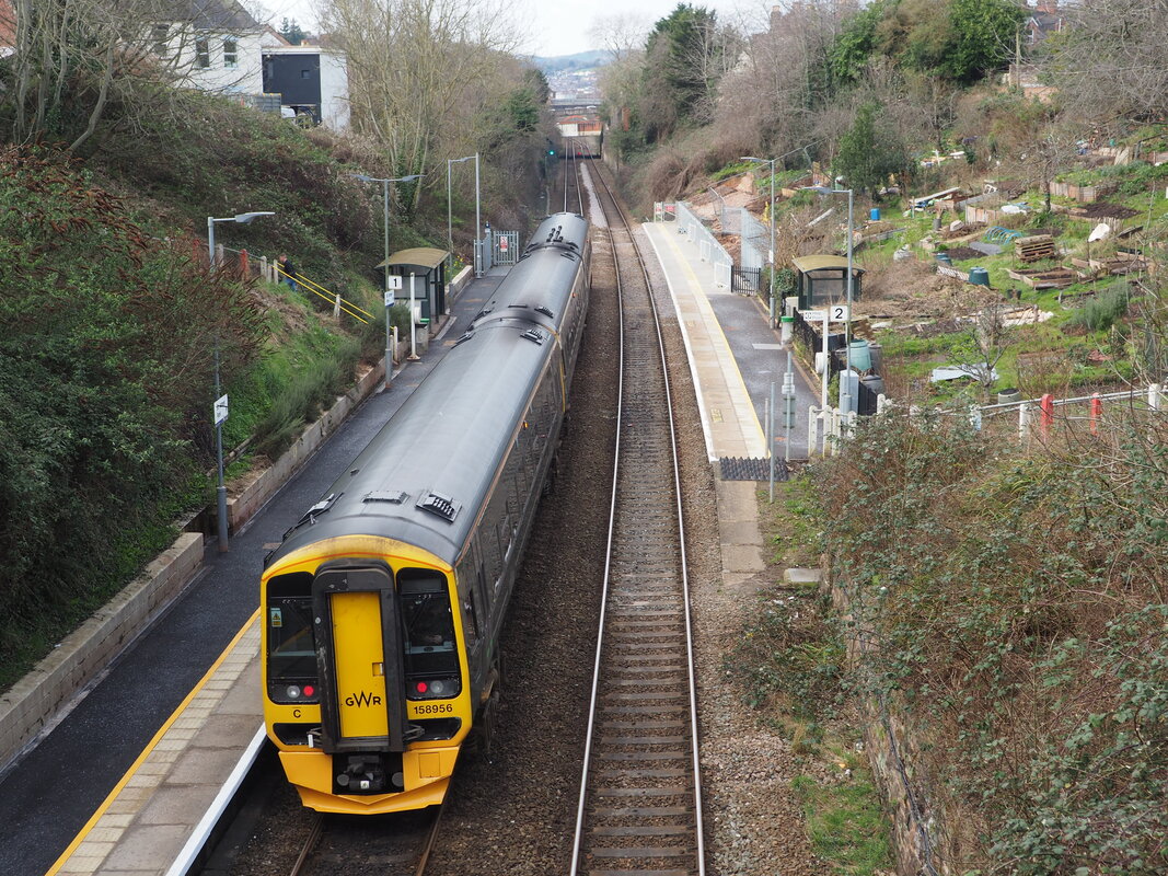
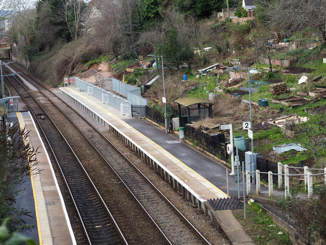
2) A general view of St James' Park.
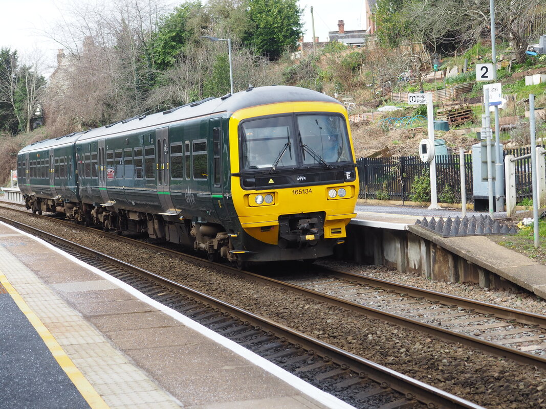
3) Class 165 165134 became the first of this class to venture to and from Exmouth working the 1017 from St David's to Exmouth. Prior to this the unit had been engaged on driver training runs from Exeter to Goodrington on Mondays to Fridays. Class 166 have a regular Monday to Friday diagram.
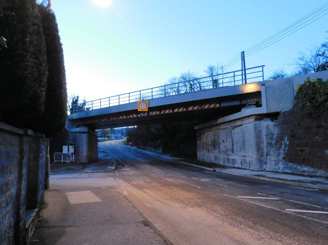
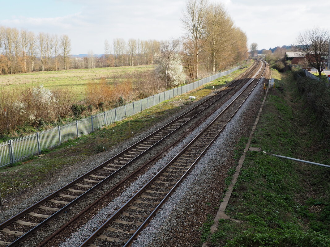
4} Finally after many years of wrangling work has finally started on Marsh Barton Halt or is it station. The approach road is now closed off to motor vehicles and various markers/markings have appeared. In my photograph you can make out some stakes in the grass.
Regards, Dave Tozer
Andrew Jones
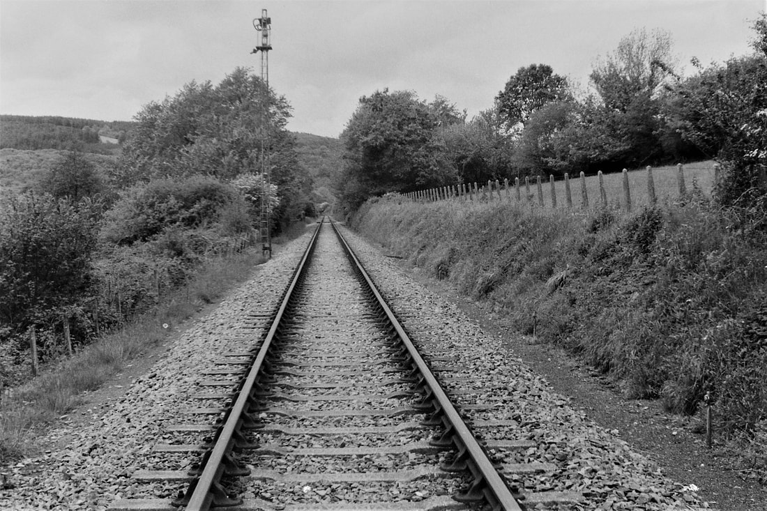
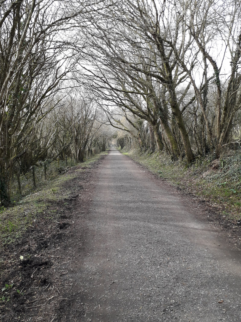
Please find a ‘then and now, July 1972 and March 2nd 2021’ view of the Nanstallon level crossing protection signal situated approx 4,000 feet from Nanstallon signal box looking towards Wadebridge. In common with a number of signals on this shared LSWR and GWR section it was of lattice work design and construction which gave the appearance of considerable height.
Remarkably this signal survived for many years after passenger closure, but was disconnected when Nanstallon signal box was decommissioned.
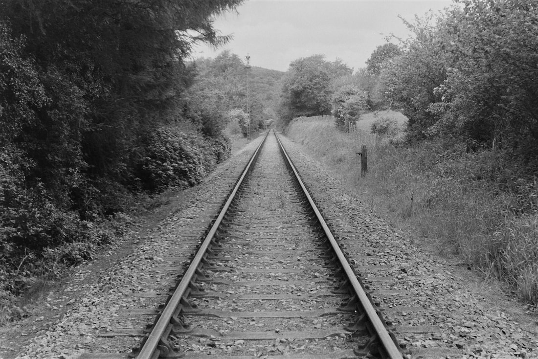
A signal wire repeater can be seen in photograph 2, which due to the considerable distance, used a balance weight pivoted to lessen the load on the signal box lever. These were not unusual but it would still have been an effort for the signalman, due in part, to the reverse curves on the approach to the long straight and signal position opposite Denby, (now the site of the Camel Valley Vineyard).
The 1972 photograph illustrates just how well managed the lineside undergrowth was controlled 50 years ago. Within a year or so this view changed considerably, when the National Grid expanded the 400kv supergrid network and installed pylons across the Camel Valley causing much outrage at the time. The cost of burying the cables was looked into but proved to be extremely expensive due the the Camel River and the idea was dropped.
During construction a BR lookout was employed to protect the railway even though only one train a day used the section at 06.00 am.
Incidentally on completion of the supergrid, Hayle Power Station which had already been rationalised was decommissioned in 1973, and there is a very interesting article and some archive railway photographs at www.octelamlwch.co.uk/hayle
or look up the Hayle section. who used the spent hot water from the power station and were the eventual cause of its demise.
Hayle power station was subsequently completely levelled due to a construction agreement that stated that the surrounding area should be reinstated to its natural state on closure.
Very best wishes Andrew and Diane
Keith
With regard to the item about the Nanstallon “crossing signal”, based on the location then that would have been the Down Distant (lever No 10) for Nanstallon. It is interesting to see, from the remnant of the spectacle plate, that this was yet another ex-L&SWR signal that was still a lower-quadrant at the time of its abolition, which had been sited on the right-hand side of the line presumably to improve its sighting by approaching trains.
I can not find any official record for the distance of that signal from the crossing box, but based on Andrew’s assessment then at over 1300 yards it was certainly a long ‘pull’. When the crossing keeper put back lever 10 after a train had passed then there would have been a considerable length of slack signal wire which had to be ‘pulled in’. The purpose of the additional weight lever seen on the short post in the second photograph would have been to help to pull in that slack, to ensure that the signal arm and its own weight lever could return fully to the ‘on’ position’.
It is possible also that elsewhere along the wire run there had been a ‘gain stroke’ lever to enable the relatively short stroke of lever 10, when pulled over to clear the signal, to be able to take up all the slack that would exist in such a long length of wire.
Regards, Chris (One learns everyday - thank you Chris)
