Continued
Robert Lindley
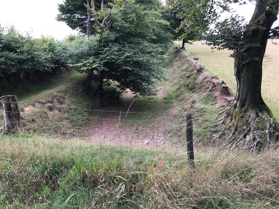
A look at the 25" map available courtesy of the National Library Scotland is available via the link below. You will see detail of the line of the incline and the location of the bridge and also Raleigh's Cross mine but no sign of the railway which served it. A narrow gauge tramway was built by the later mining syndicate from the top of the incline along the road past the then closed Raleigh’s Cross Mine, for about 2 miles, whence it went across the fields, down another incline to Colton Mines. Again no trace on the map.
maps.nls.uk/geo/explore/#zoom=16&lat=51.1000&lon=-3.4008&layers=168&b=1ay.
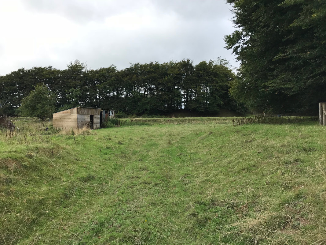
or is it Western?
David Tozer
Jacob Hampson
John Cornelius
