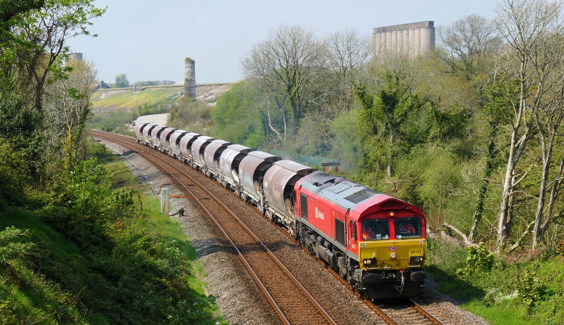
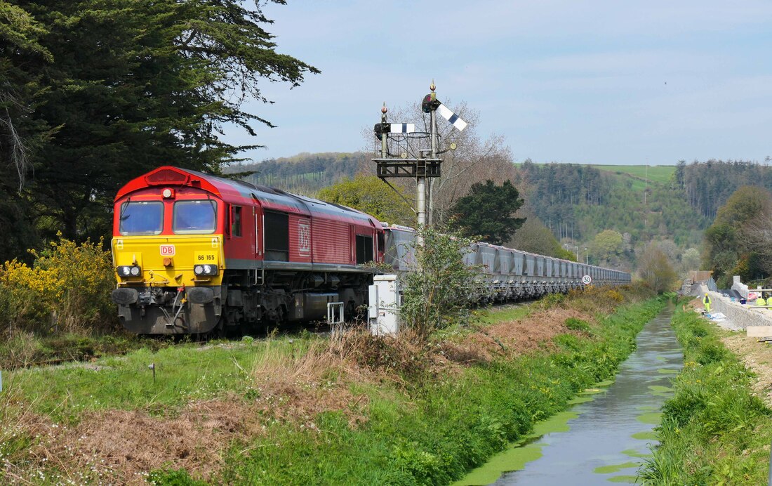
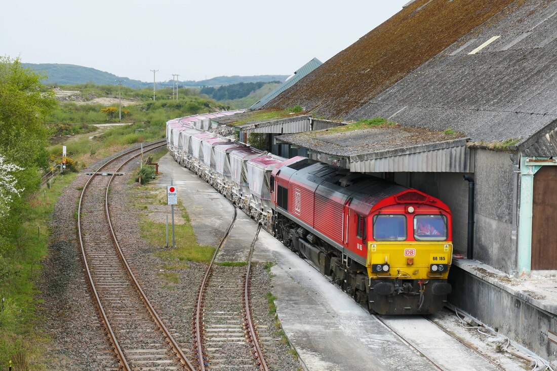
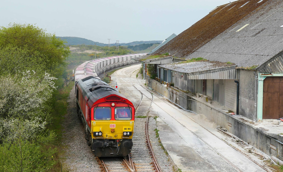
Driver Alan Peters
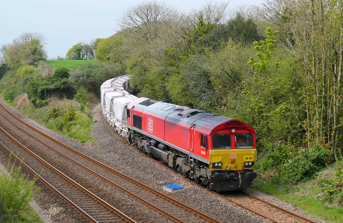
25/04/22 - 6F20 (Train 1 of 5) goes beyond normal operational railway to 197m 51c, 1 x class 70, 1 x AS UMH2, 17 MFS wagons
26/04/22 - 6F21 (Train 2 of 5) 1 x class 70, 20 auto hoppers, 1 x class 70
28/04/22 - 6F22 (Train 3 of 5 at Fatherford) (Train 1 of 2 at Coleford) 1 x class 70, 1 x AS UMH2, 17 MFS wagons
28/04/22 - 6F23 (Train 4 of 5) 1 x class 70, 20 auto hoppers, 1 x class 70
01/05/22 - 0F24 (Train 5 of 5) 1 x class 70
02/05/22 - 6F25 (Train 2 of 2 at Coleford) 1 x class 70, 20 auto hoppers, 1 x class 70
14/05/22 - 6C21 goes beyond normal operational railway to 197m 51c, 1 x class 70, 38 Coalfish Wagons, 1 x class 70 - Fatherford Spoil
14/05/22 - 6C22 1 x class 66, 30 Coalfish Wagons, 1 x class 66 - Coleford Spoil
21/05/22 - 6C21 goes beyond normal operational railway to 197m 51c, 1 x class 70, 38 Coalfish Wagons, 1 x class 70 - Fatherford Spoil
21/05/22 - 6C22 1 x class 70, 30 Coalfish Wagons, 1 x class 70 - Coleford Spoil
Driver Alan Peters
Clive Nye
Mark Lynam
Thanks,
Mark Lynam
Asks Andrew Jones
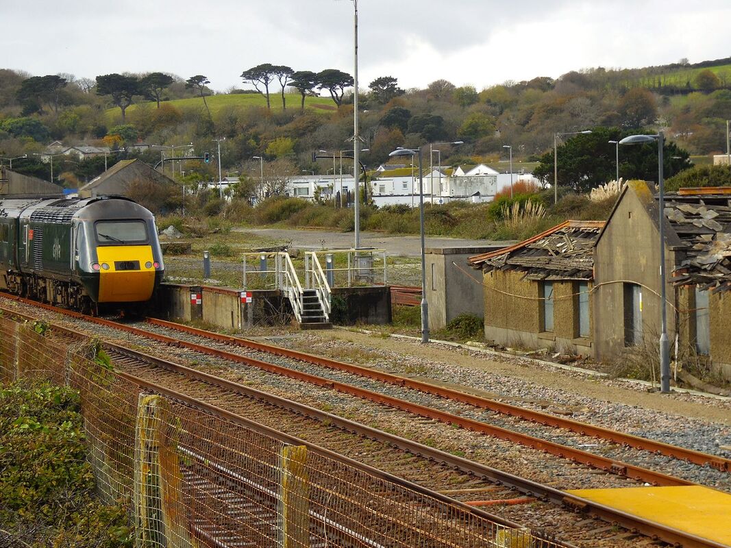
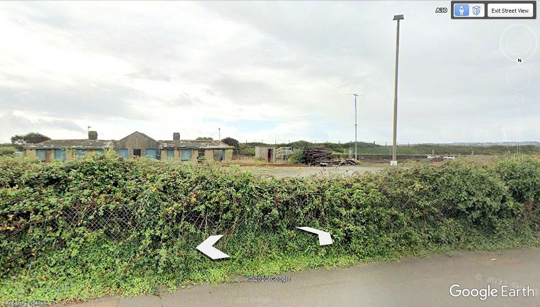
Please find attached photographs from my own collection and from Google Earth which illustrates the phenomena.
Google have a fair use policy which allows their photographs to be used in non commercial blogs such as the Cornwall Railway Society website.
Here is an extract from their policy,
License
‘ As long as you follow these Terms, the Google Terms of Service give you a license to use Google Maps/Google Earth, including features that allow you to:
- view and annotate maps;
- create KML files and map layers; and
- publicly display content with proper attribution online, in video, and in print.’
‘All uses of the content must provide attribution to both Google and our data providers. We require clear, visible attribution when the content is shown. You may not move the attribution to the end credits or fade it out after a few seconds.
Note that if you (a) embed a classic map, Street View panorama or My Map; (b) use one of our APIs on the web or in an application; or (c) use Google Earth Pro or Earth Studio on desktop; then the necessary attribution is already baked into the map and no further credit is needed. Learn more about how to properly credit, as well as how to identify providers, on our attribution guidelines page.’
Now I am no legal expert, but I would assume from this that in most cases the copyright or attribution is embedded in the photograph but it would be wise to also state the copyright holder when posting images from service.
When using google earth you will find that most satellite images are up to date, but by using the timeline facility it is possible to go back a number of years.
Street view is not updated regularly so the image attached of the mess building and shunters cabin at Ponsandine is still showing a building which is now demolished, others such as Trevemper Sidings on the Newquay to Chasewater Railway also show buildings no longer there.
Google earth is a useful tool when researching old railways.
It would be interesting to hear from Society members on their thoughts on this subject and any unusual findings.
Very best wishes Andrew an Diane
