Doug Nicholls
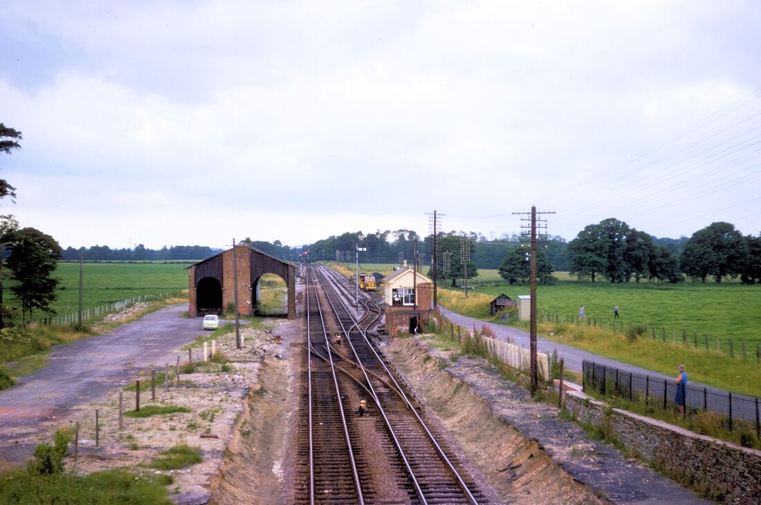
There were up and down platforms both which were some 100 yards long and started immediately to the west of a substantial road overbridge which served a road connection to the north for the hamlet of Woodborough which recently had a population of about 900. The up platform boasted a signalbox,
Passenger accommodation comprised of a small shelter on the up side with a more substantial building not unlike that at Pewsey which incidentally was also on the down side.
The station has loops approximately 900 yards long on both the up and down sides they leave and join their respective the main lines about 110 yards west of the overbridge. There is a trailing cross over between the up and down main lines located some 45 yards west from the road overbridge.
The down loop is simply just that, a refuge. However the up loop has a trailing point at the east end leading to two sidings each of about two hundred yards in length.
Exeter St Thomas
Paul Barlow
Michael Manning
Hi guys..
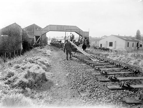
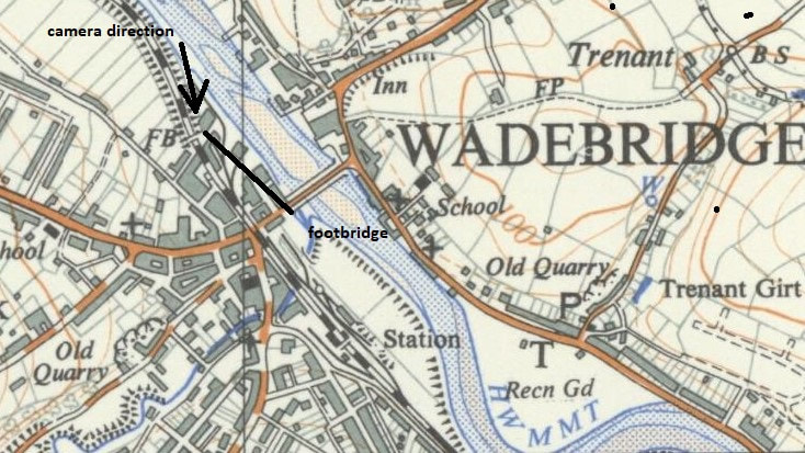
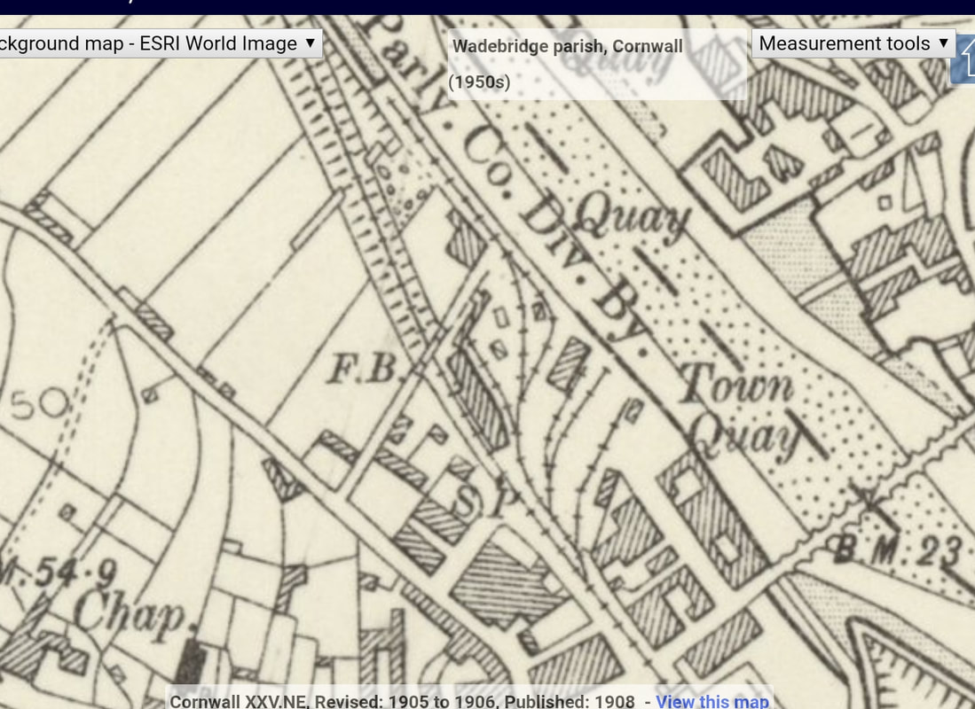
I think this bridge is actually a short distance from the level crossing at Wadebridge, on the Padstow side, marked as FB on the attached NLS map.
Also at seen at about 4.45 on this video on a unit travelling from Padstow in towards Wadebridge.
http://cornishmemory.com/item/MISC_260_03
Cheers Dave Anthony
And as a P.S. Dave included this :-
Eddystone Rd
https://maps.app.goo.gl/pChwpBgKwa8ozP5b9
In the original photo I believe you can just make out the spire of Wadebridge town hall under the bridge, between the loco and the building. On this modern day Google map, the footbridge would be where the crossroad is directly in front.
Cheers again, Dave.
Try pasting the Cornish Memory link into your Google Search Box - and enjoy a fascinating ride from Padstow to Bodmin Road. The pictures vary in brightness quite a bit - perhaps this is best played via your TV where you can vary the brilliance as needed. Many thanks to you Dave for your contributions.
Andrew Jones
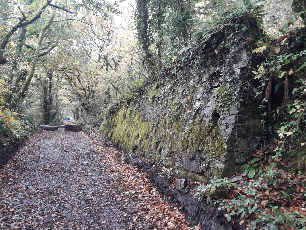
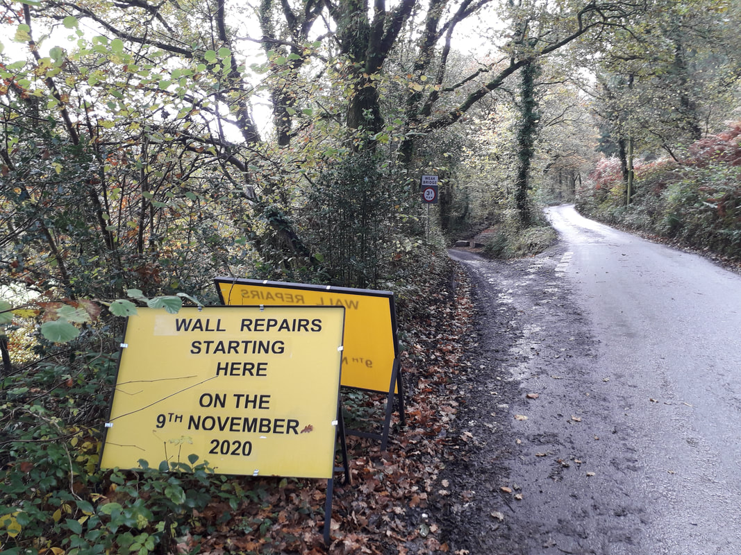
Following the formation towards Grogley there is only one 50 metre stretch where the road was widened in the 1960,s and now encroaches the route. The line is a remarkable survivor and appears to have escaped any major damage during the recent Grogley weir works. Hopefully the Cornwall Archaeology unit will eventually provide the formal protection needed for this valuable asset.
Best wishes Andrew and Diane
