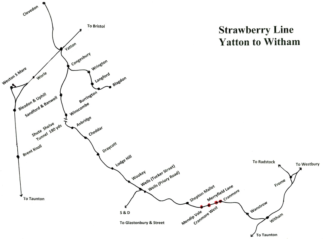
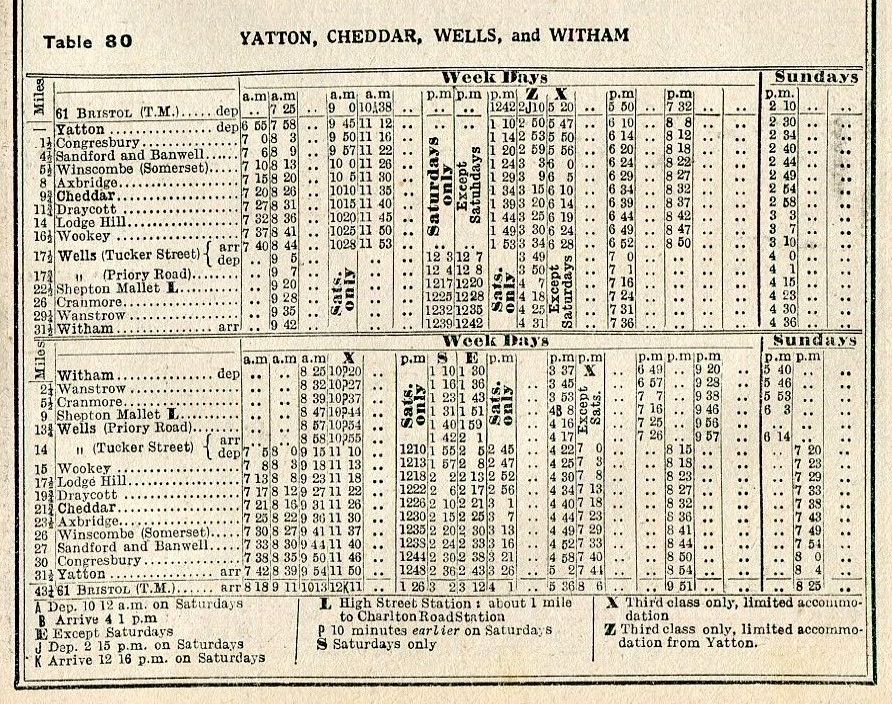
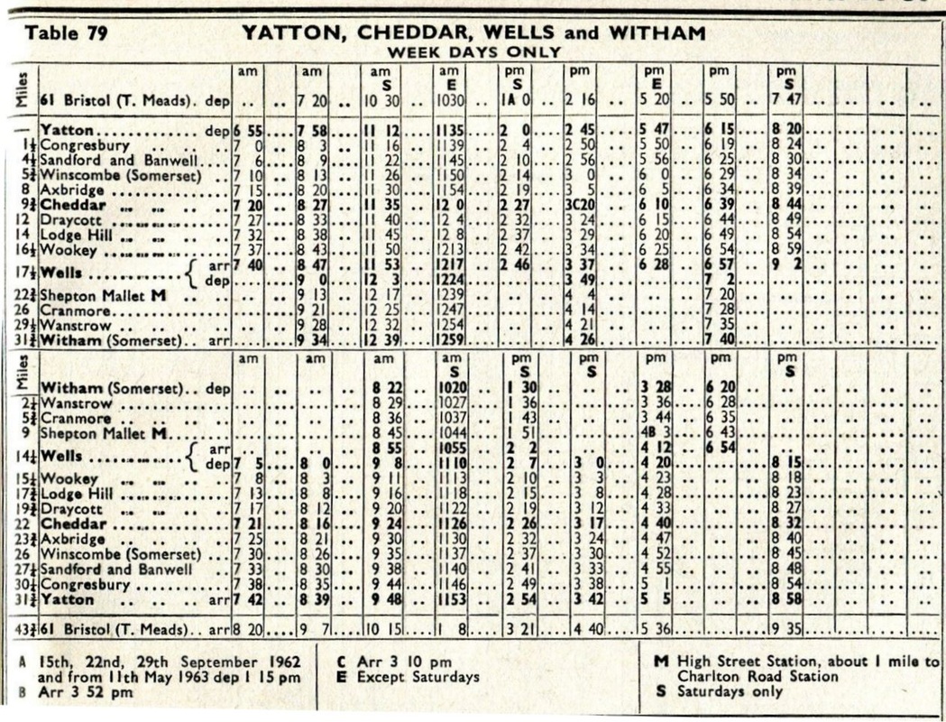
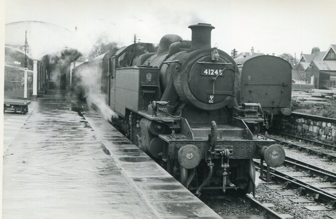
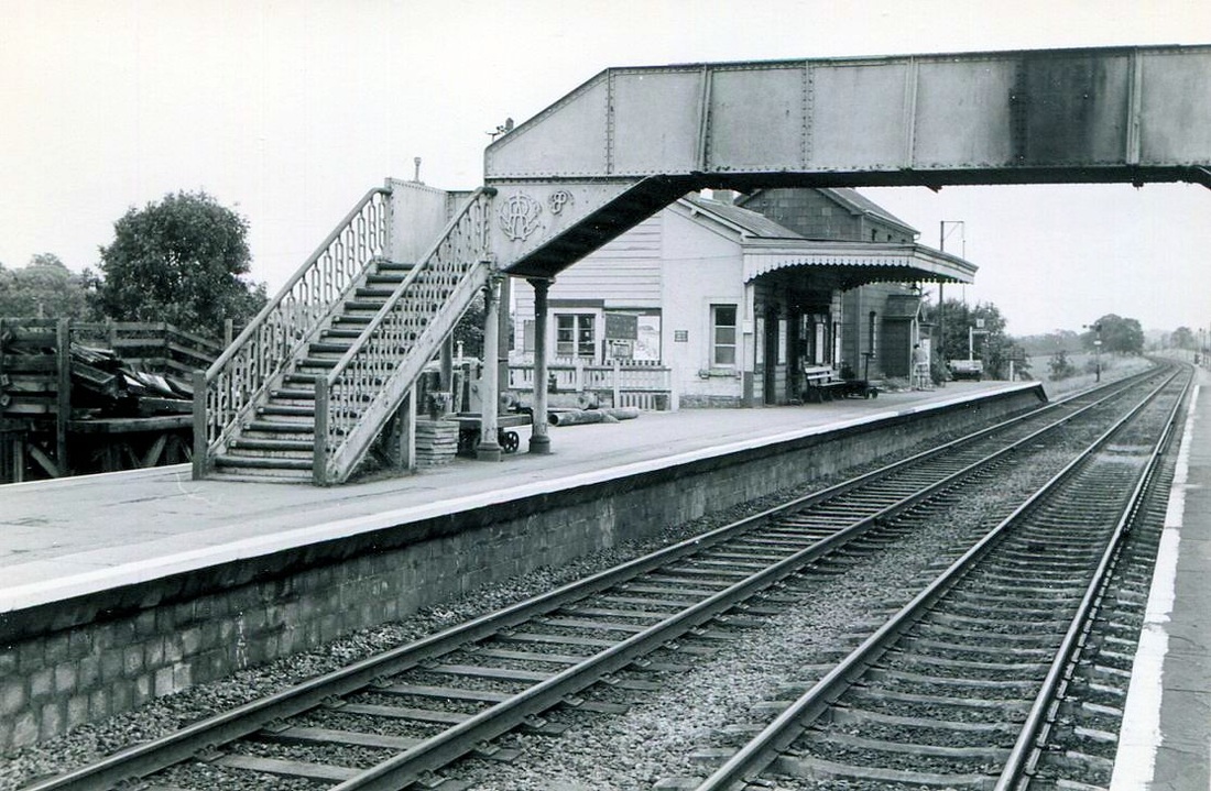
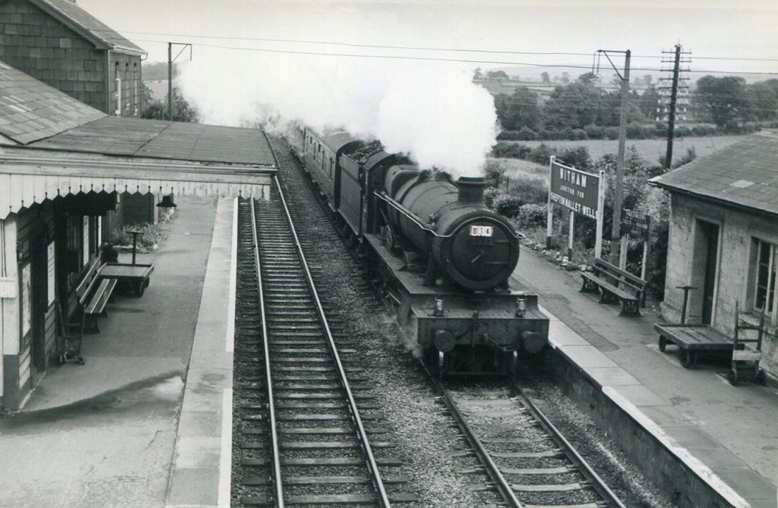
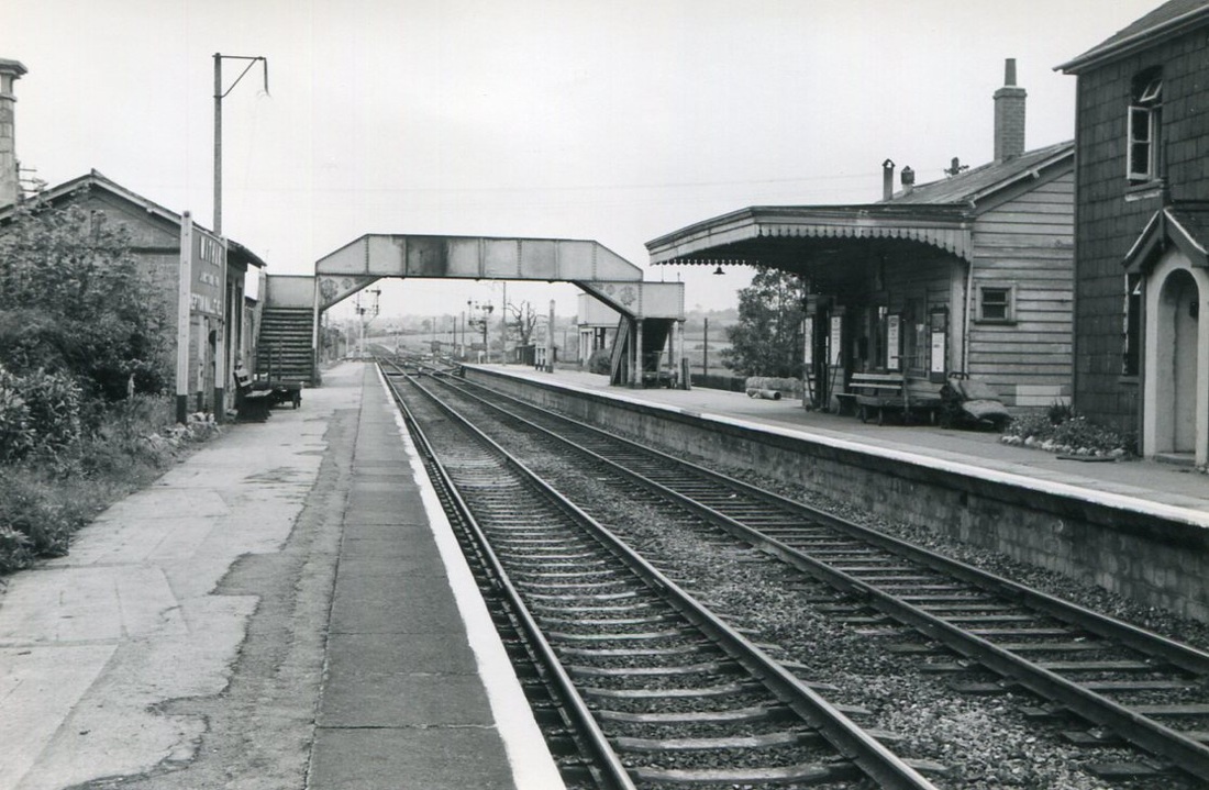
Cheddar Valley branch
Including the East Somerset Railway
Including the East Somerset Railway
There is a petition to join up the various sections of the Cheddar Valley line which have already been opened for public access as a walkway/cycleway. To find more details please click here http://www.thestrawberryline.org.uk/index.php?section
Yatton
Map courtesy Google Maps - zoom as required for recent track details
Pan west to see up and down loops at Yatton
img481
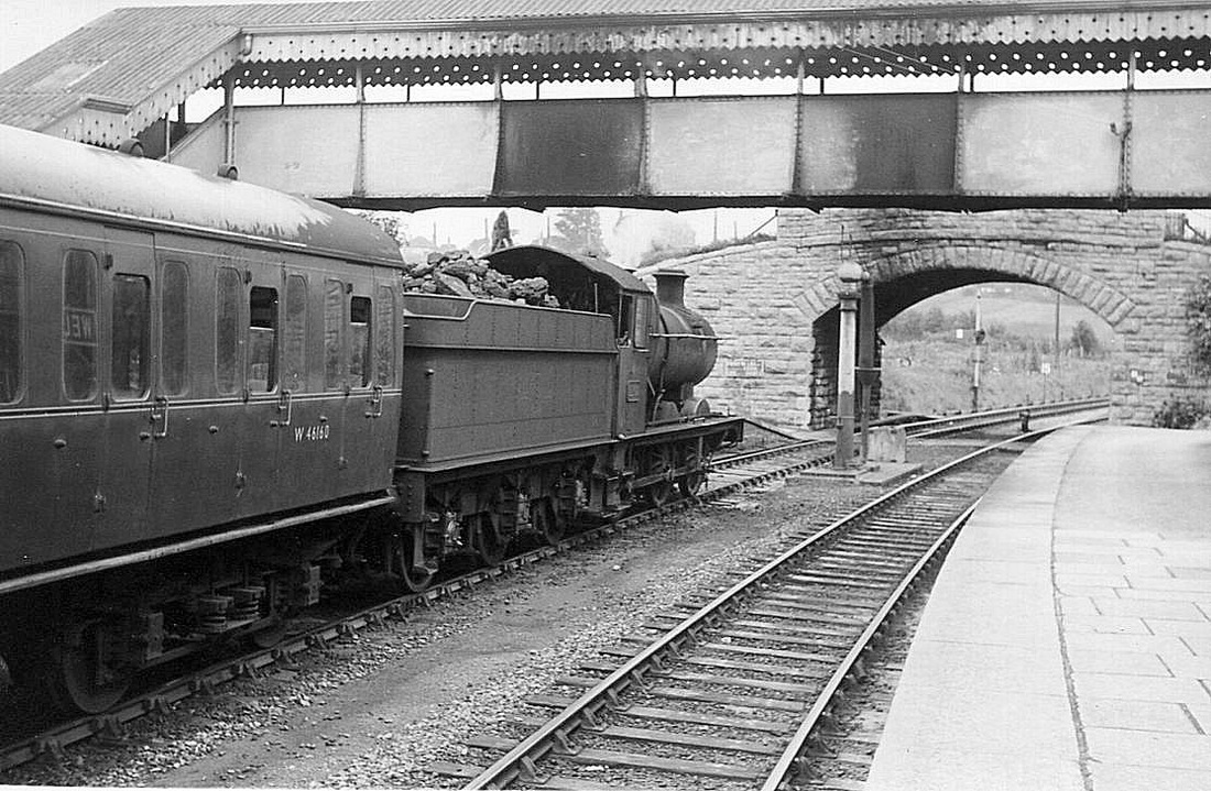
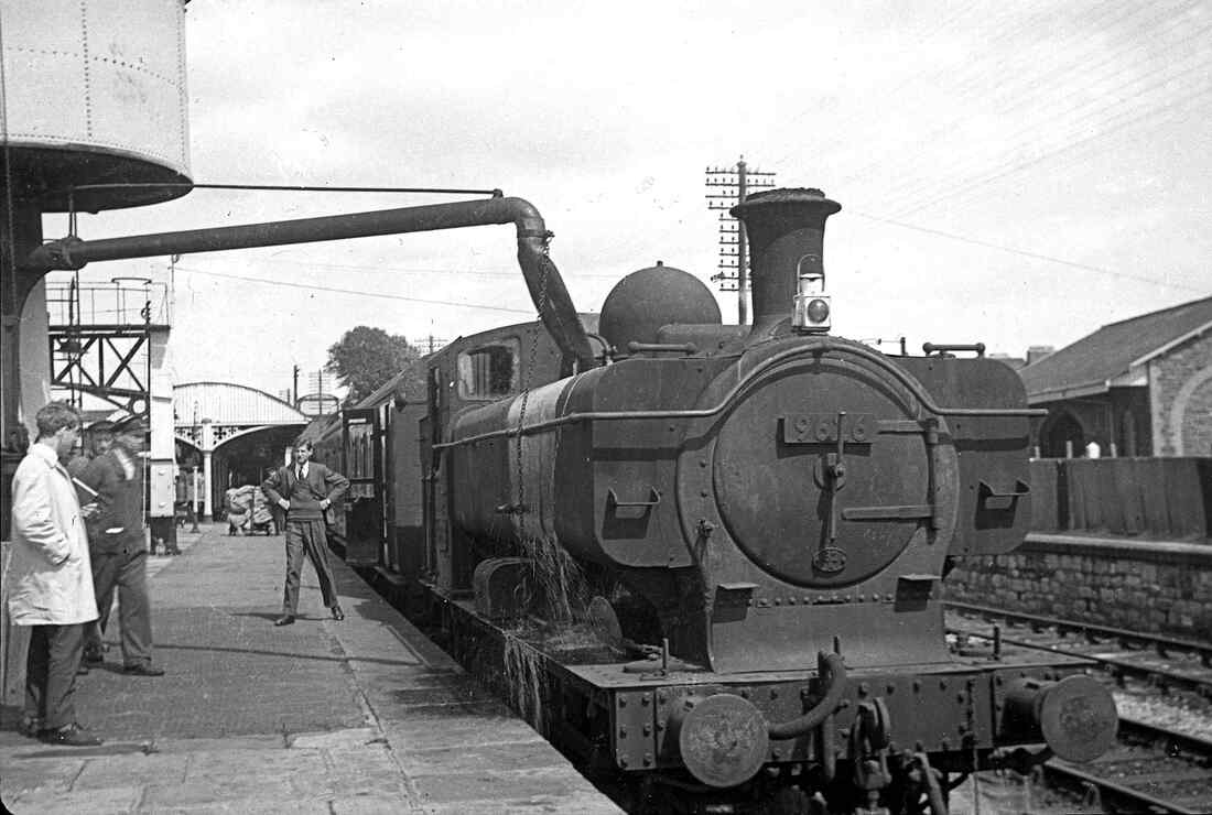
Pannier tank 9626 waits at Yatton with the 2.45pm for Witham, May 1962. 9626 is still carrying a 82A shed code despite the fact that Bath Road shed closed to steam on 12 September 1960 & 9626 had been transferred to 82B (St Philip's Marsh). 9626 lasted until the end of steam on the Western Region & was withdrawn from Worcester on 31 December 1965. Copyright Martin Tester.
Congresbury One and a half miles from Yatton
Martin Tester remincences - Focusing on the Clevedon branch & Yatton reminded me that I had a few photos of the Cheddar Valley line trains. Are you interested? Regardless!! I attach them.
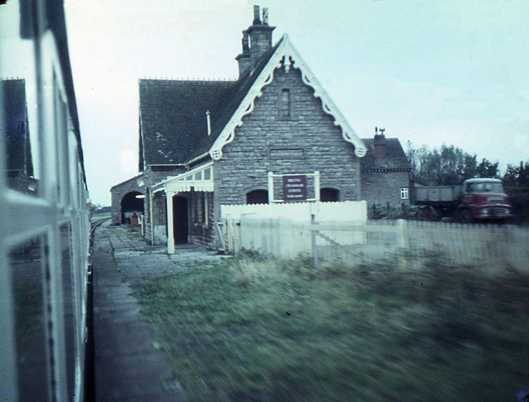
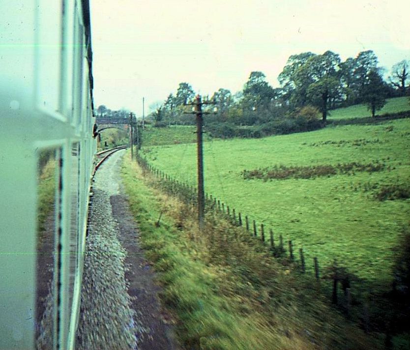
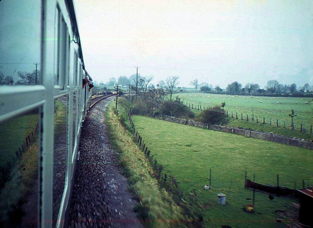
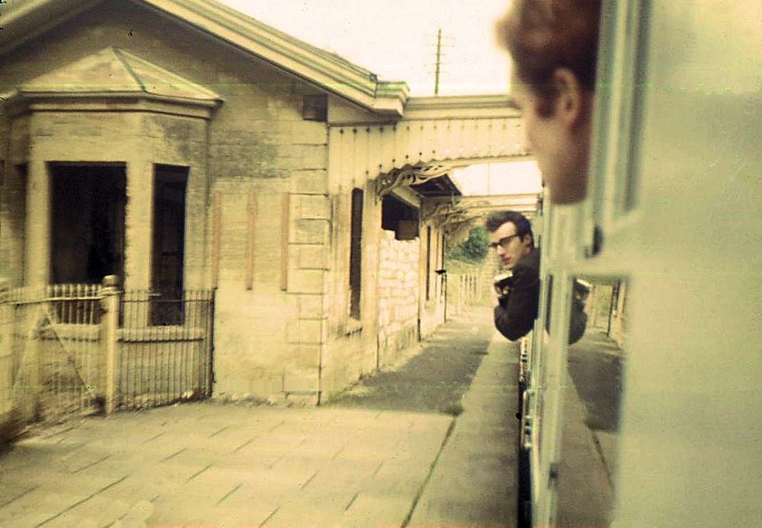
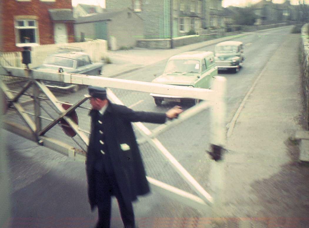
The Cheddar Valley line was a most beautiful branch - the very epitome of a country railway. I made 2 one-way trips over it, in each case travelling on the 2.45pm departure from Yatton. I returned home to Bristol from Witham via Westbury & Bath. The trips were in May 1962, a beautiful sunny day, & May 1963 the opposite - cloudy & wet. A memorable moment on the May 1962 trip occurred at Congresbury - the first station. A friend & I were leaning out of the carriage window; an elderly (to our school-boy eyes) porter waved us over. He was still wearing his GWR cap! He had something to show us. He took us over to a wooden box attached to the station wall (I think it was meant as a mailbox) & lifted the lid. Inside was a nest with eggs! A blackbird he said. The fireman from the pannier tank came to have a look too. On my second trip 12 months later the station was deserted, it had been de-staffed, & no doubt the elderly porter made redundant. (I hope he kept his GWR cap). Whether the blackbird had been deprived of its nesting site I know not.
The Cheddar Valley line was a most beautiful branch - the very epitome of a country railway. I made 2 one-way trips over it, in each case travelling on the 2.45pm departure from Yatton. I returned home to Bristol from Witham via Westbury & Bath. The trips were in May 1962, a beautiful sunny day, & May 1963 the opposite - cloudy & wet. A memorable moment on the May 1962 trip occurred at Congresbury - the first station. A friend & I were leaning out of the carriage window; an elderly (to our school-boy eyes) porter waved us over. He was still wearing his GWR cap! He had something to show us. He took us over to a wooden box attached to the station wall (I think it was meant as a mailbox) & lifted the lid. Inside was a nest with eggs! A blackbird he said. The fireman from the pannier tank came to have a look too. On my second trip 12 months later the station was deserted, it had been de-staffed, & no doubt the elderly porter made redundant. (I hope he kept his GWR cap). Whether the blackbird had been deprived of its nesting site I know not.
Congresbury 1965-68
Michael Bussell
The station opened on the northernmost part of what is popularly known as the Cheddar Valley line on 3 August 1869. This was the section from Yatton to Cheddar, soon extended to Wells before it there joined the slightly earlier line from Witham. The line was built to broad gauge clearances, although it was converted to standard gauge in 1875 as its originator the Bristol & Exeter Railway was absorbed into the Great Western Railway.
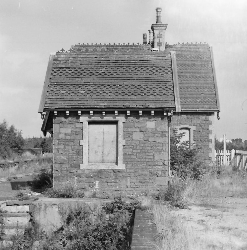
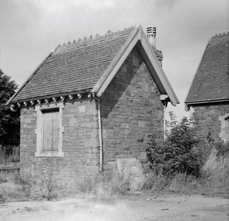
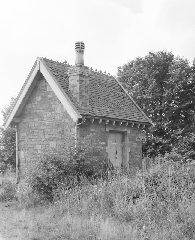
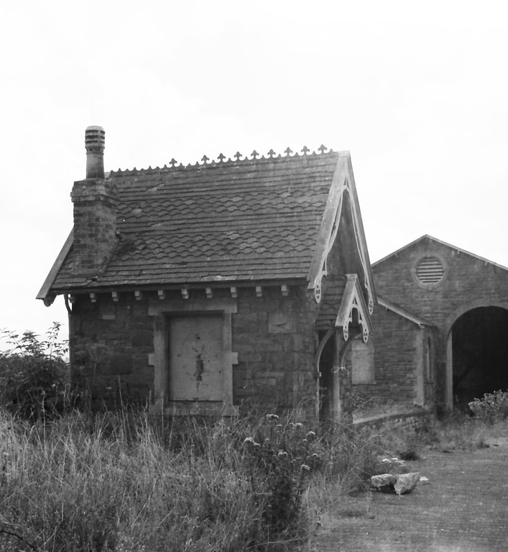
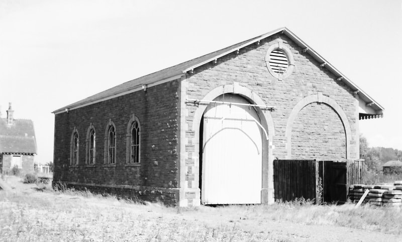
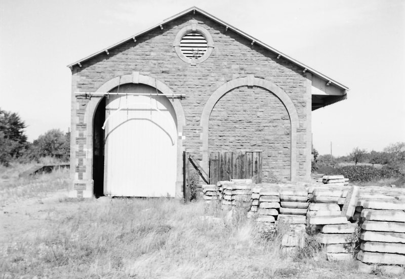
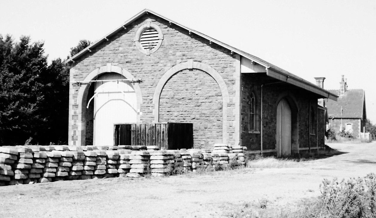
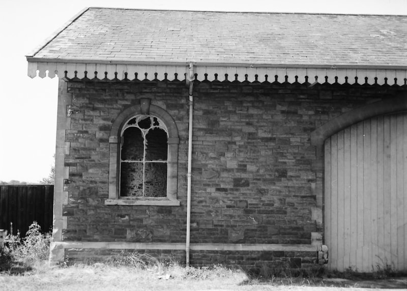
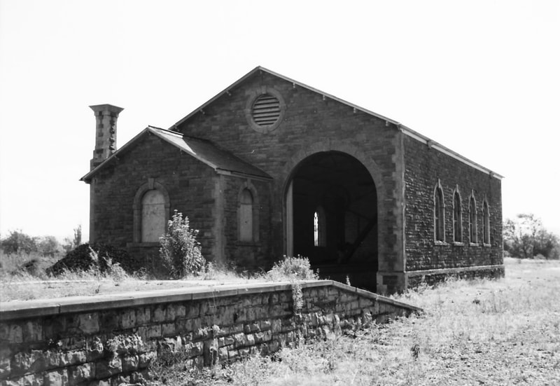
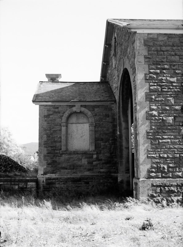
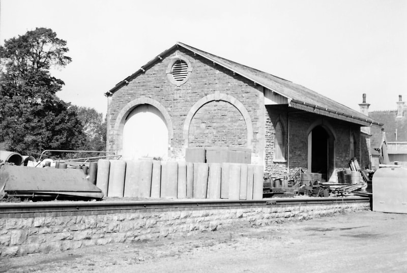
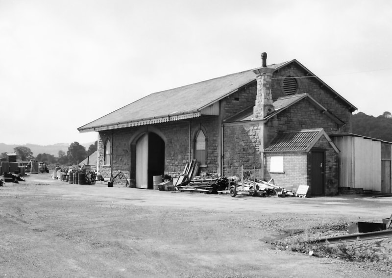
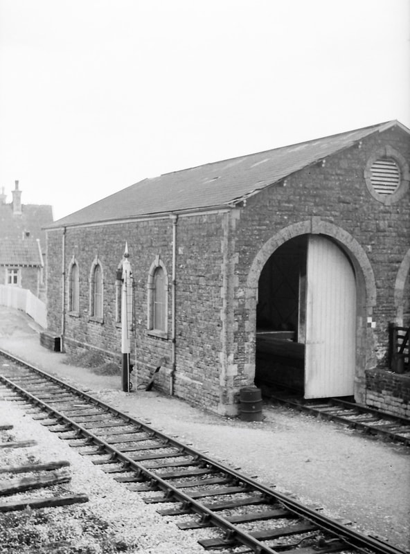
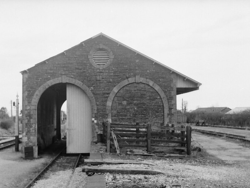
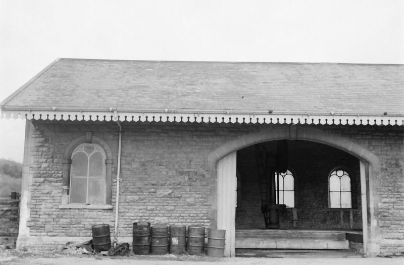
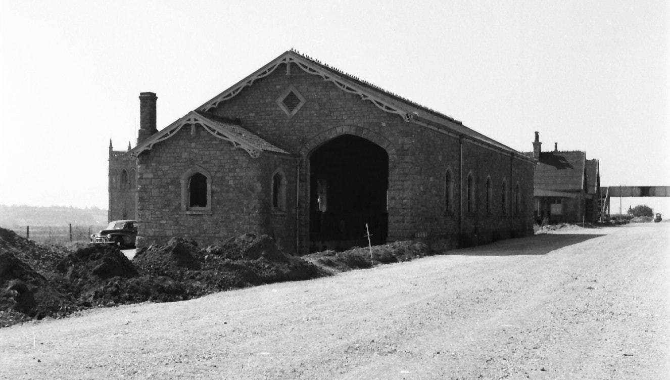
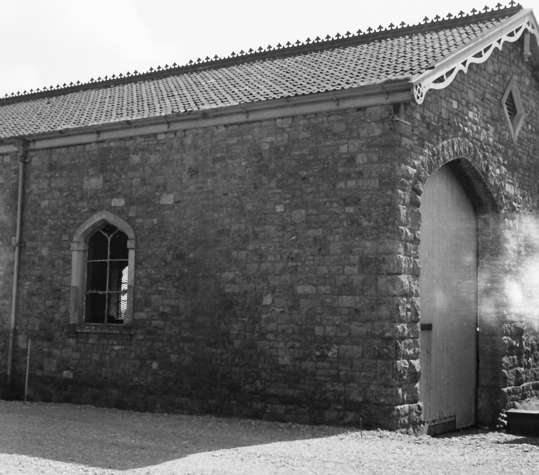
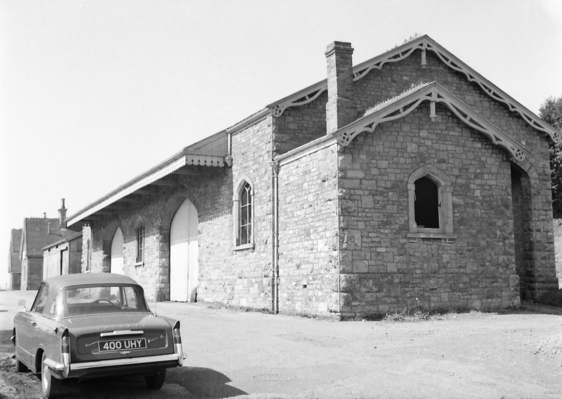
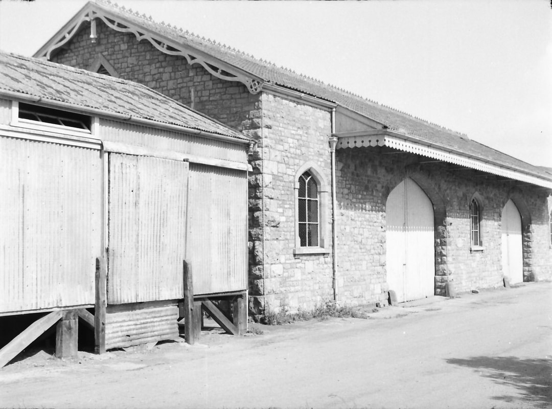
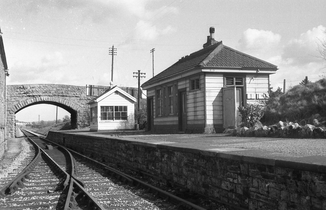
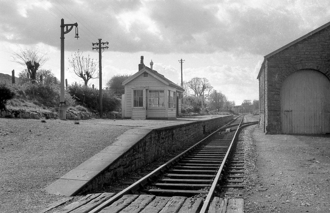
The station layout and its buildings were broadly similar to those at Sandford & Banwell, south of Congresbury. A single platform on the east side of the running line accommodated the station building and a small ‘block hut’ just to its south, and further south a large goods shed, all of stone and in the B&E’s attractive style. The block hut served as the signal box, with point and signal levers, and the block telegraph instruments for communication between signalmen from which the building took its name.
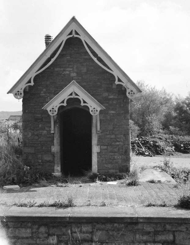
Both stations were modified to suit new lines entering them from the east in the first decade of the 20th century. At Sandford & Banwell it was a line to carry stone from the nearby Sandford Quarry, opened in 1905. At Congresbury it was the Wrington Vale Light Railway, built under the provisions of the Light Railways Act of 1896 and opened on 4 December 1901. This was owned and operated from the outset by the Great Western Railway, and ran just short of 7 miles south and east via Wrington, Langford, and Burrington, terminating at Blagdon. The introduction of a second passenger-carrying line at Congresbury was met by the installation of a passing loop; provision of a second platform, with a small but attractive timber waiting shelter and cast iron gents’ urinal; the enlargement of the goods yard to the south of the platforms; and the building of a new large signal box on the west side of the running line, to the south of the station building. This box – as at Sandford & Banwell – was sited with a clear signalman’s view of the additional trackwork and signalling being provided. The block hut thereafter seems to have been used as an office for the substantial amount of paperwork that the enlarged station now generated. No footbridge was provided between the platforms, just a foot crossing of the tracks at the north end of the platforms, with sleepers laid longitudinally between the rails.
As was often the case with lines built around the turn of the century to serve rural areas, the Wrington Vale line was among the earliest to close in mid-century as the motor bus and later the lorry effectively drained it of most traffic. Passenger services were withdrawn on 14 September 1931; the section beyond Wrington was closed completely on 1 November 1950, the remainder between Wrington and Congresbury on 10 June 1963. The Cheddar Valley line in its turn was to close, with the last passenger train running on 3 September later that same year, and complete closure of the Yatton-Cheddar section following on 1 October 1964.
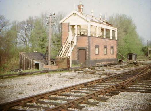
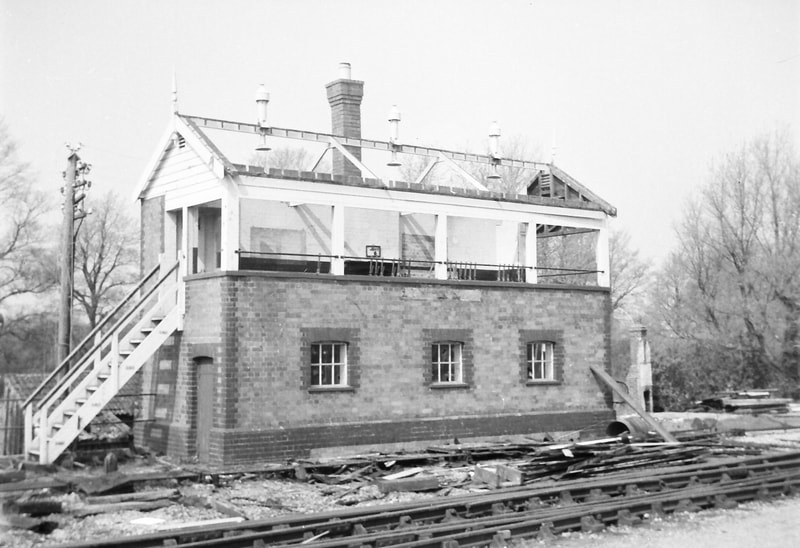
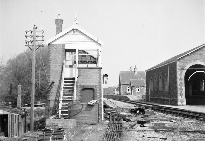
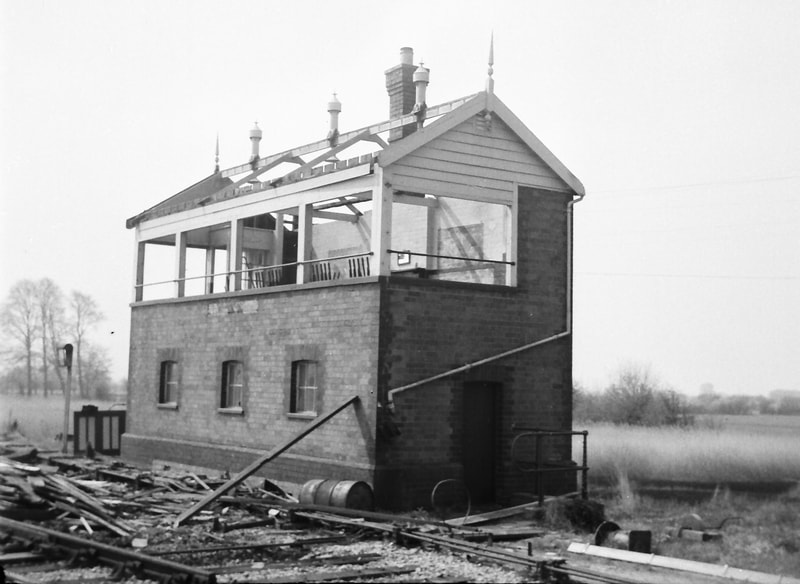
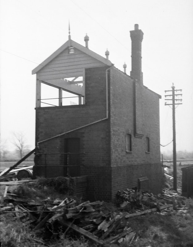
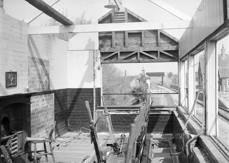
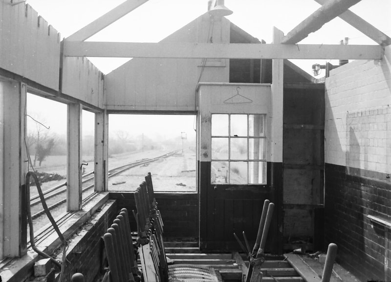
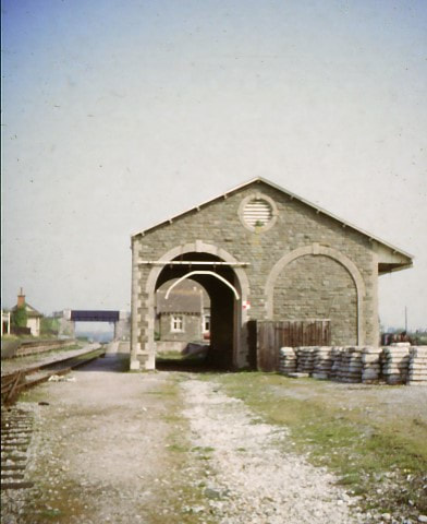
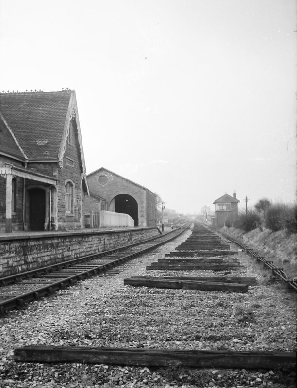
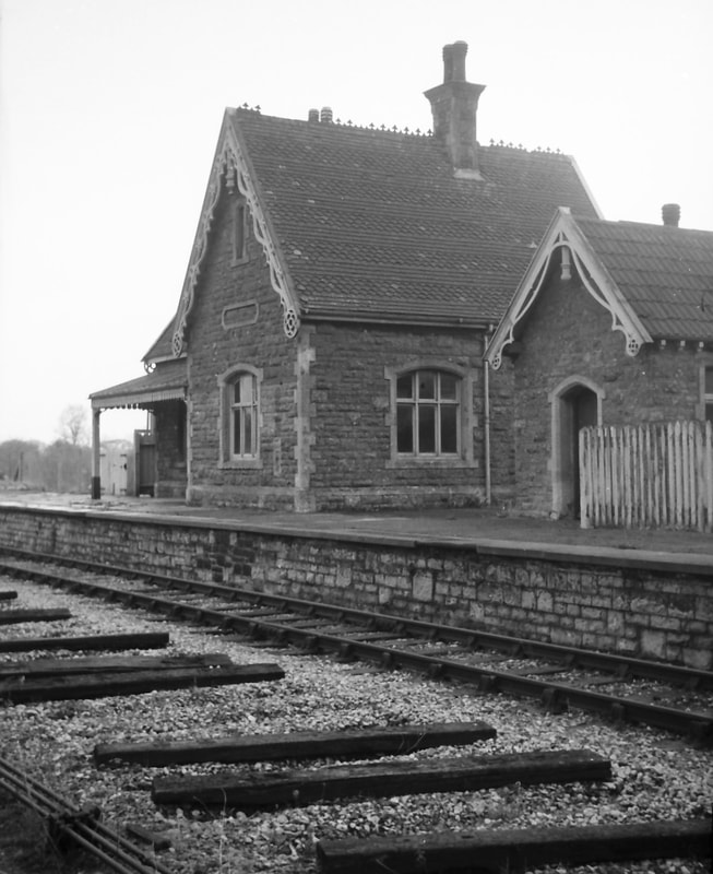
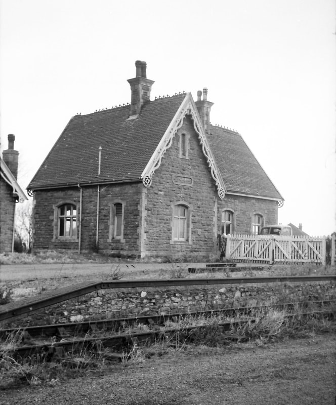
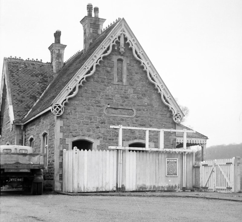
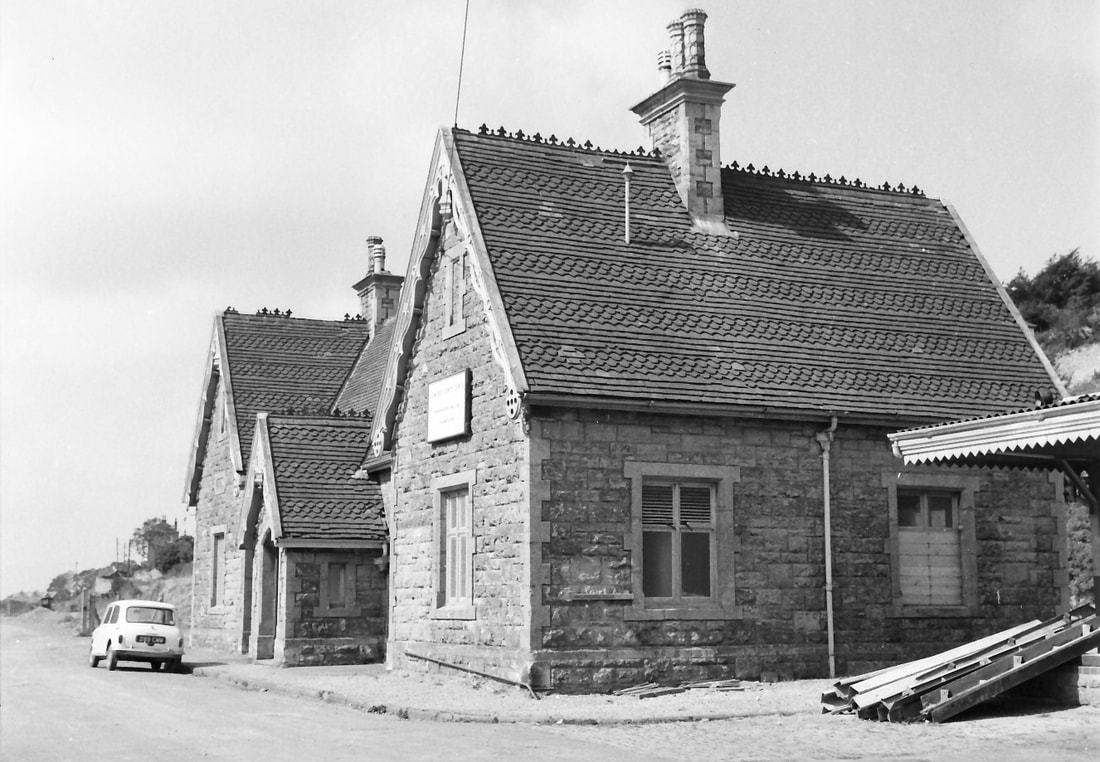
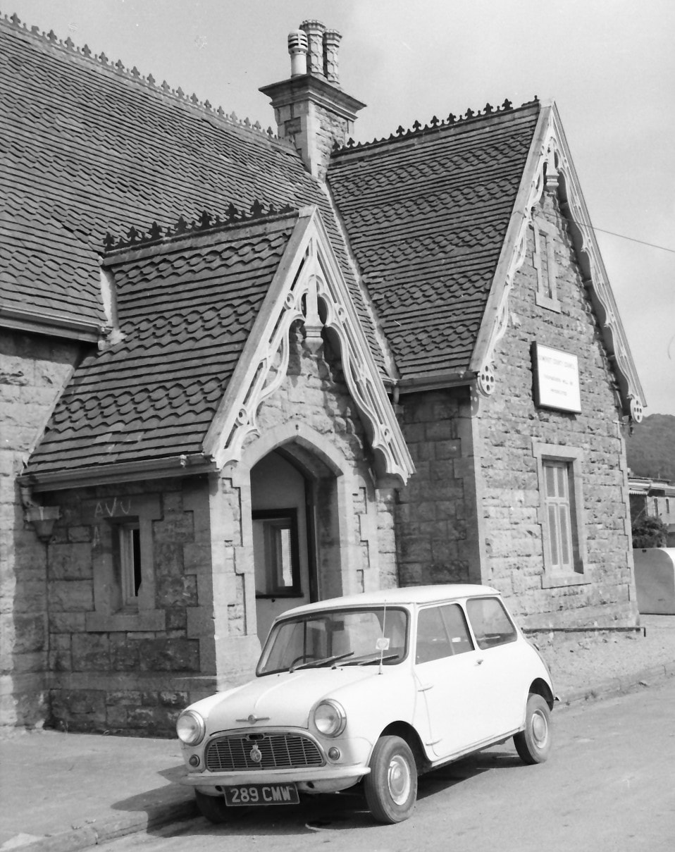
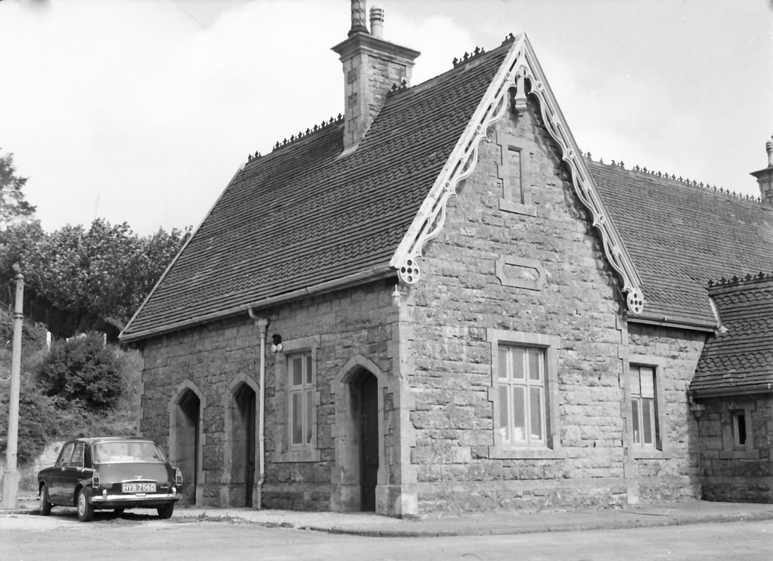
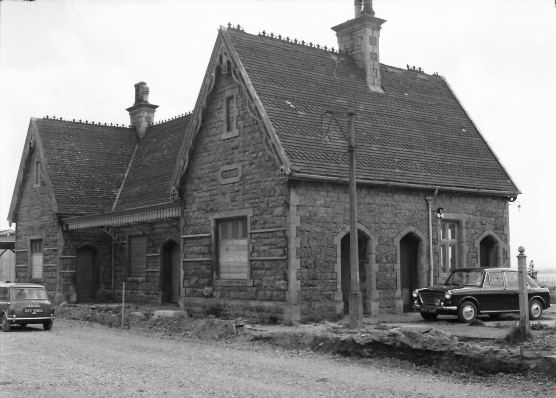
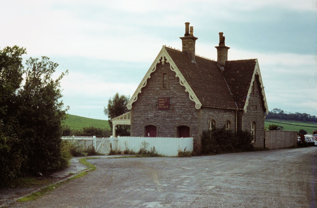
Whereas the station buildings at Sandford & Banwell have (happily) survived, those at Congresbury were less fortunate. The signal box and waiting shelter on the second platform were demolished in May 1965, so it was a fortunate chance that my first visit to the station was on 22 April. This chanced to be during the lifting of the Yatton-Cheddar section; the signal box had already been partly-gutted, but I was able to photograph it in its last days. On a second visit in September 1966 I photographed the surviving buildings. On my third and last visit early in 1968 the station building still stood, but the road bridge built to cross over the railway immediately north of the station had been removed. The A370 road had accordingly been re-laid at ground level, and widened and straightened in a featureless way that so often is the result of ‘improvements’. And, later that year, the 99-year-old station building was flattened by a machine in a few hours. The photos below include four colour images taken on a half-frame 35 mm camera on my first visit; they show the five principal station buildings, all now gone.
The station features in two hardback books on the line, ‘Steaming through the Cheddar Valley’ by Derek Phillips (Oxford Publishing, 2001, in particular pages 177-186), and in ‘The East Somerset and Cheddar Valley Railways’ by Richard Harman (Lightmoor Press, 2009, pages 86-94). Also, a lengthy, informative, and well-illustrated article on the station and its operation by Mike Christensen and Chris Turner appeared in Great Western Railway Journal No. 15, Summer 1995. The article, and both front and rear journal covers, offer atmospheric colour photos of the station in busier days.
These pictures of Congresbury station are all copyright Michael Bussell - they are numbered across and down, number 1 being at the top left hand side. Detailed notes which have been kindly supplied by Michael Bussell appear at the foot of this large collection. Please click on an individual photograph to obtain a larger framed edition.
Station Buildings
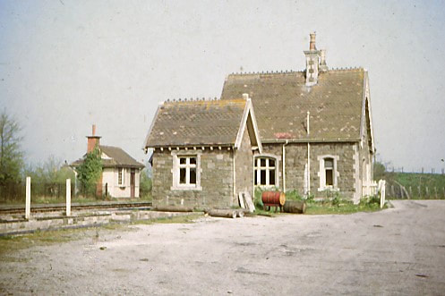
1. A colour photo taken on 22 April 1965; the station building is somewhat masked by the block hut, but the photo records the colour and texture of the stonework and roof tiling in both. The waiting shelter on the second, later, platform is also seen.
2.
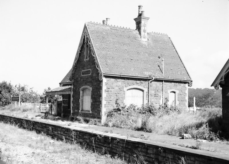
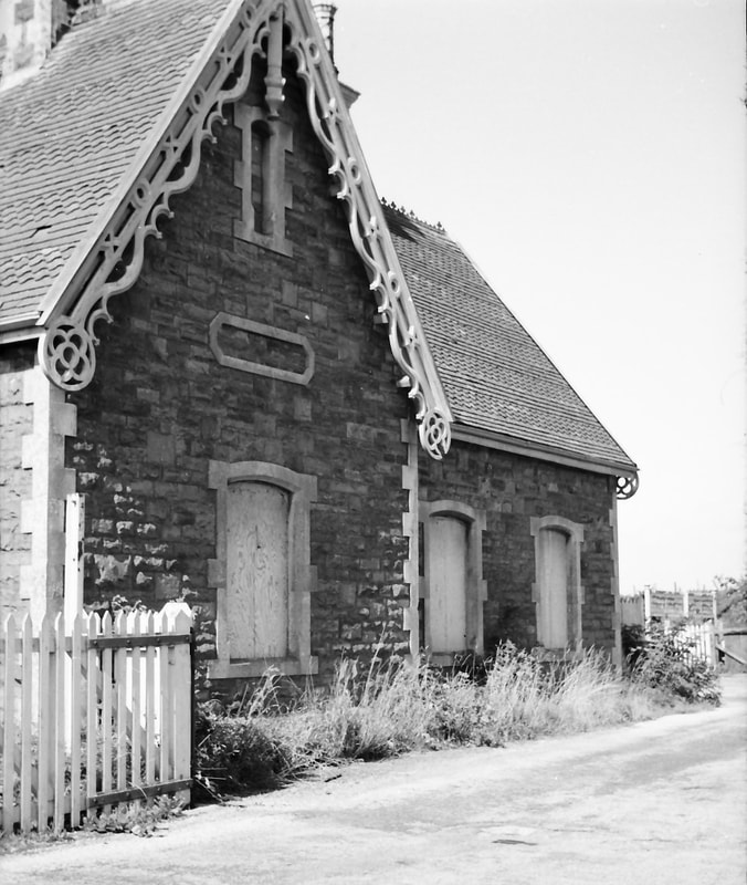
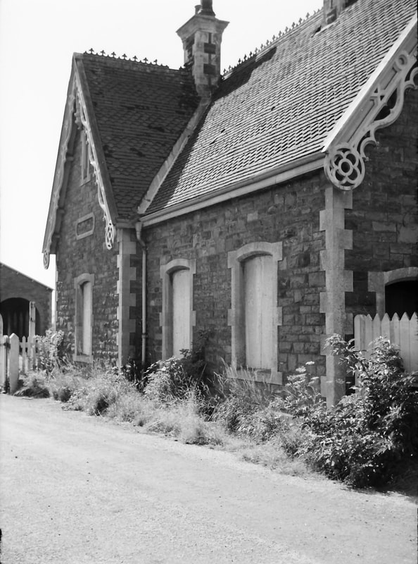
A sequence of black-and-white photos taken in September 1966, ‘circumnavigating’ the station building in an anti-clockwise direction, and starting with a general trackside view from the south-west, showing the platform frontage and south elevation.
3.
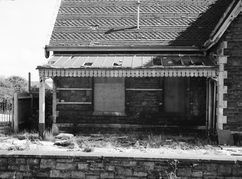
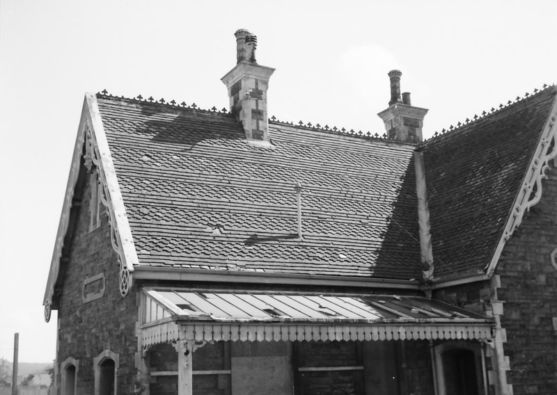
The canopy on the northern half of the platform frontage.
4.
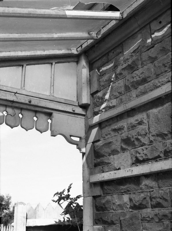
A detail of the canopy where it meets the building’s stonework.
5.
The northern part of the roof on the platform frontage.
6.
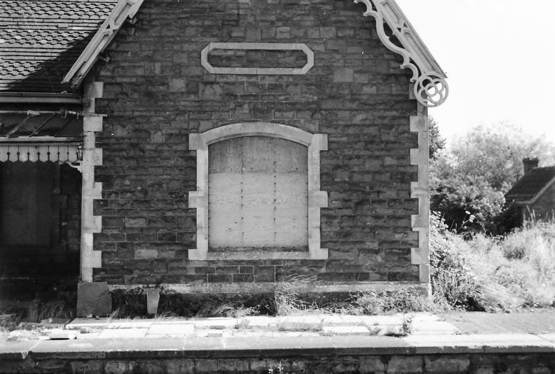
The lower part of the west gable on the platform frontage.
7.
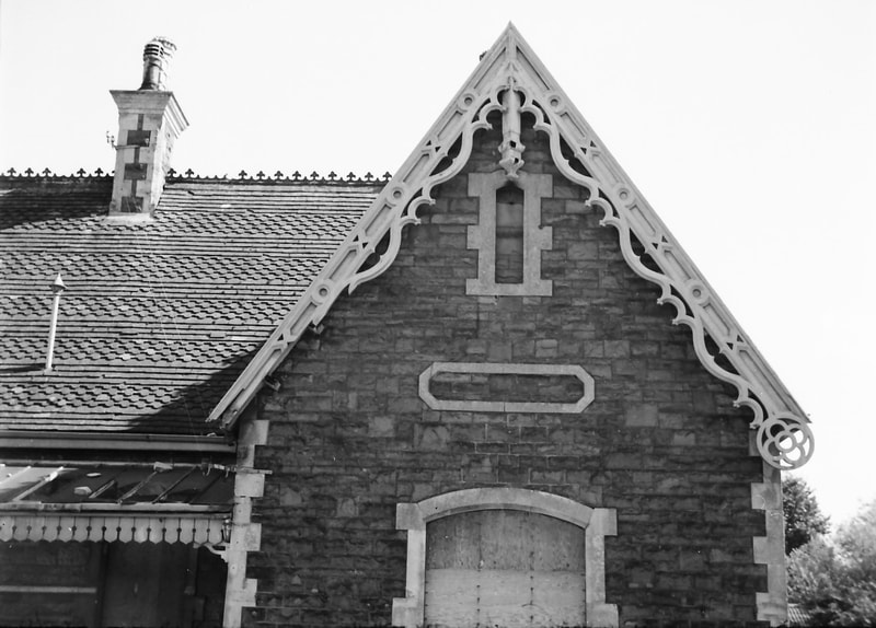
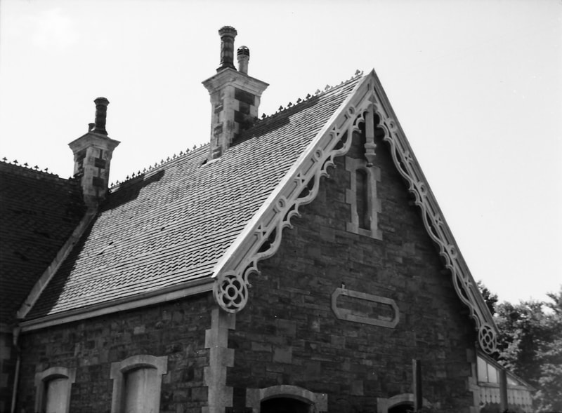
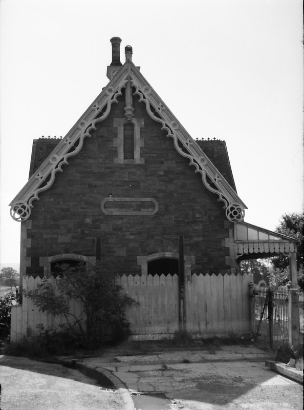
And the upper part of this west gable. The bargeboards and stonework detailing on these Bristol & Exeter Railway buildings are distinctive and elegant architectural features.
8.
The south elevation.
9.
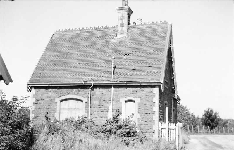
The eastern, roadside, elevation from the south-east.
10.
And the same elevation from the north-east.
11.
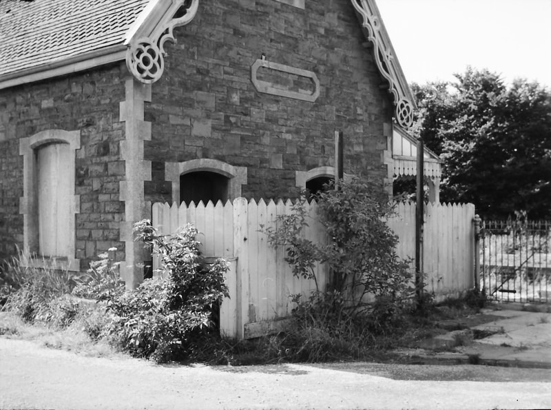
The lower part of the north gable elevation, with the close-paled fence screening the entrance to the gents’ toilet and lamp room from the platform.
12.
The upper part of this north gable.
13.
A full-face view of the north gable elevation.
14.
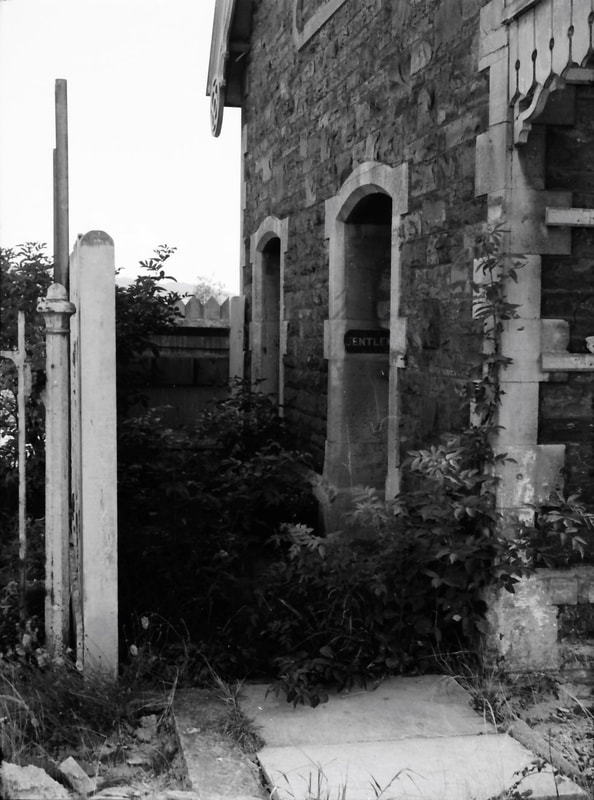
A closer view of the passageway leading to the gents’ toilet and the lamp room. (Remarkably, the station lighting was by oil-lamps right up to closure.)
15.
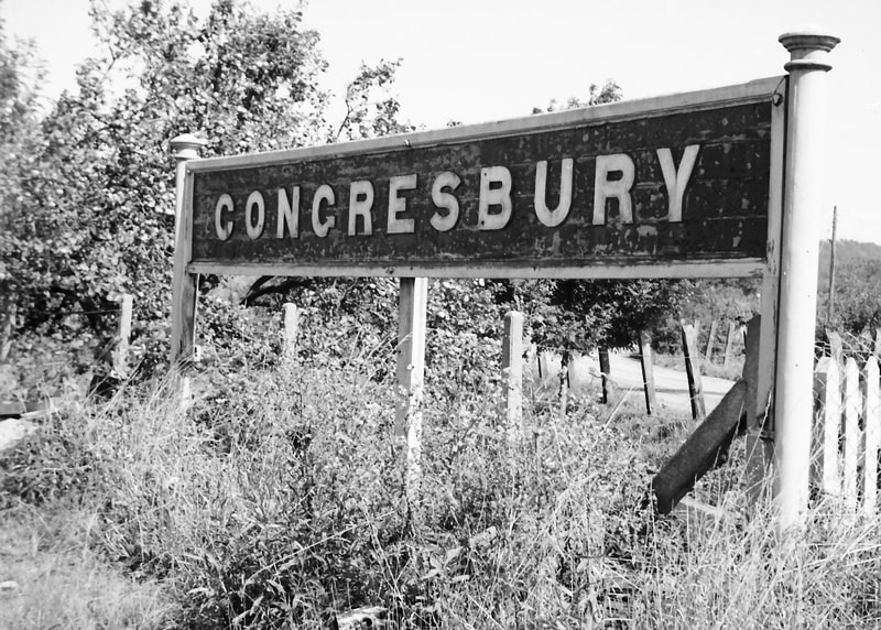
On the platform just north of the passageway was this running-in board – which when seen at close quarters is surprisingly large.
Block Hut 1966
16.
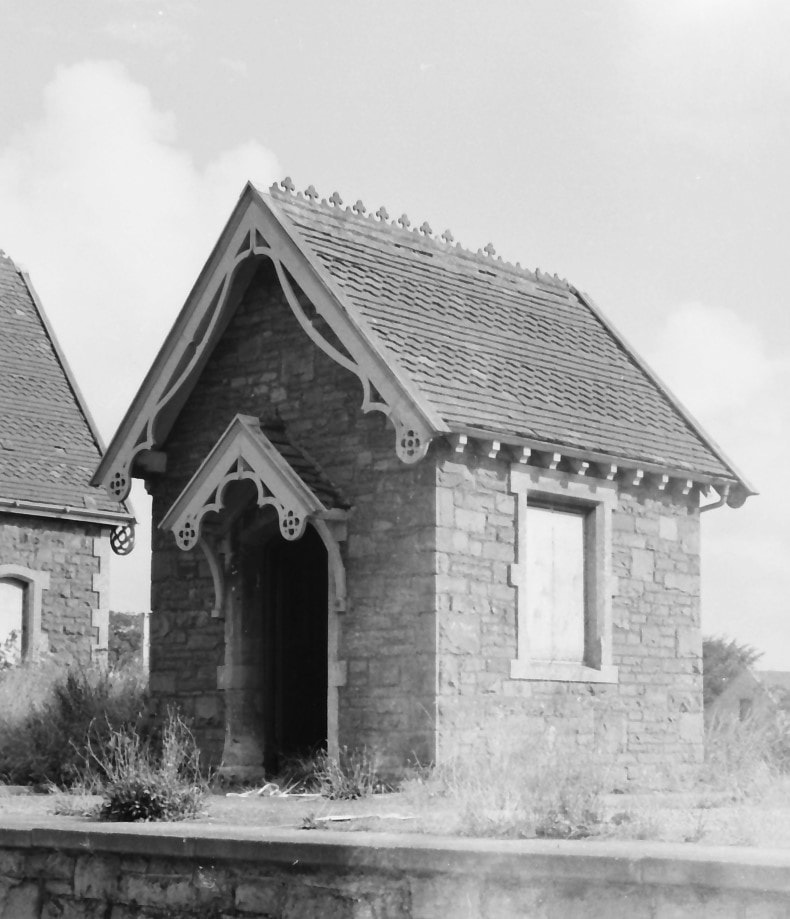
This small building, just to the south of the main station building, was originally the station signal box. It was later used as an office after the new, larger signal box was built for the opening of the Wrington Vale Light Railway in 1901. When visited in September 1966 there were shelves, drawers, and desktops, but no paperwork had been left. This is the platform frontage.
17.
A three-quarter view of the hut from the south-west, which shows the timber ‘porch’ roof over the door.
18.
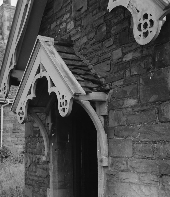
A closer view of the porch roof.
19.
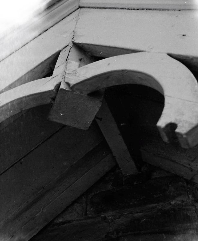
A detail of the central fascia of this porch roof.
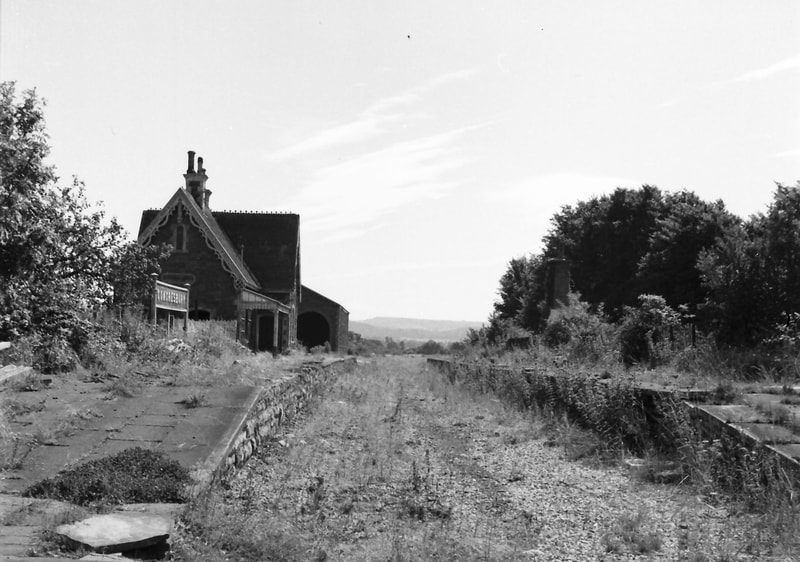
20.
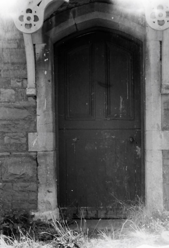
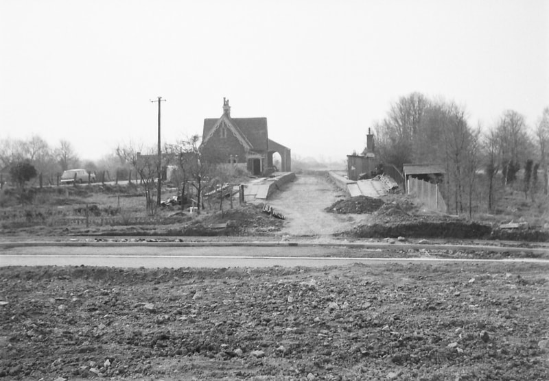
An indifferent photo, which nevertheless offers details of the timber door and its stone surround.
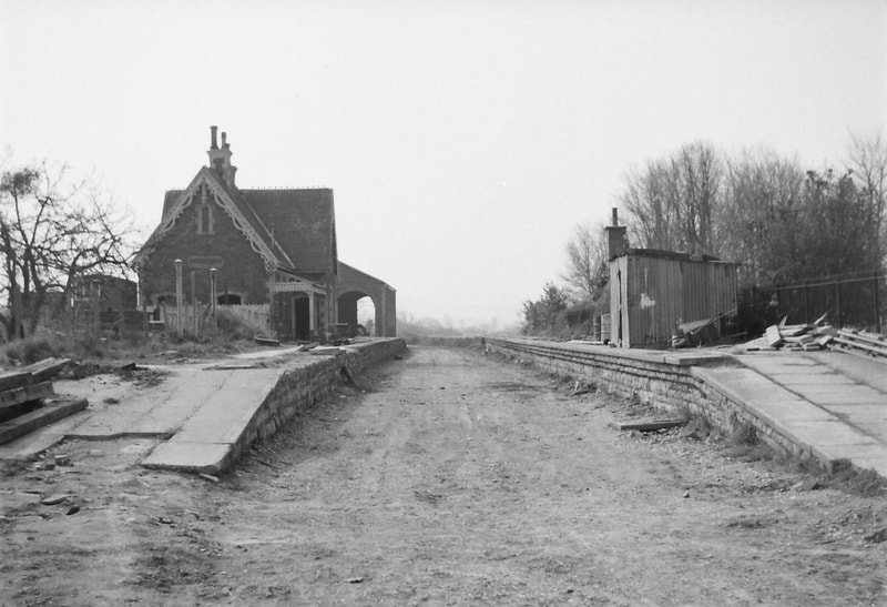
21.
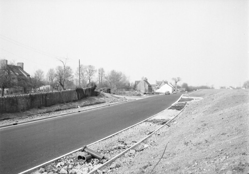
The south elevation of the block hut. The roof is attractively tiled.
22.
The hut from the south-east.
23.
And from the north-east.
24.
A last view of the block hut from the north, with the goods shed beyond.
Waiting Shelter 1965
25.
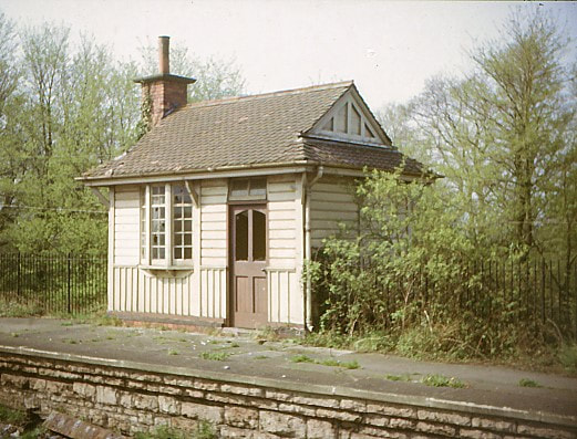
Station Platform Waiting Room. A 22nd April 1965 view of this attractive small building, of timber apart from the brick-built chimney stack. Unlike the draughty open steel-and-glass so-called ‘shelters’ provided on British railway platforms in recent years, this had not only a door to keep the weather out, but the chimney stack attests to the presence of a fireplace that would keep waiting passengers warm in winter.
26.
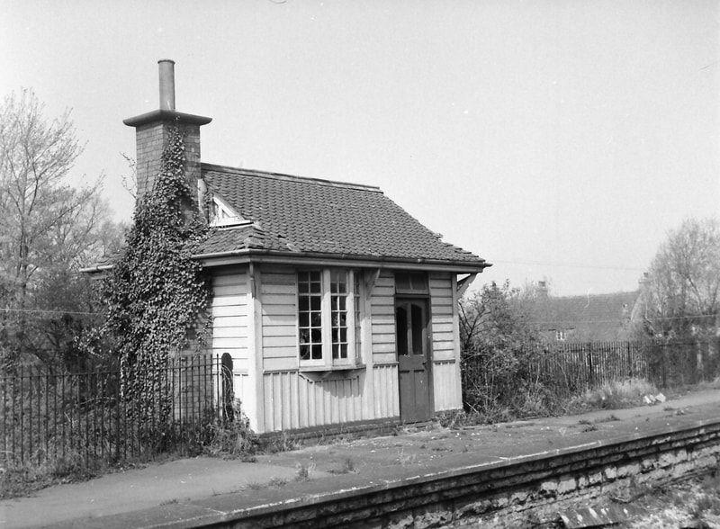
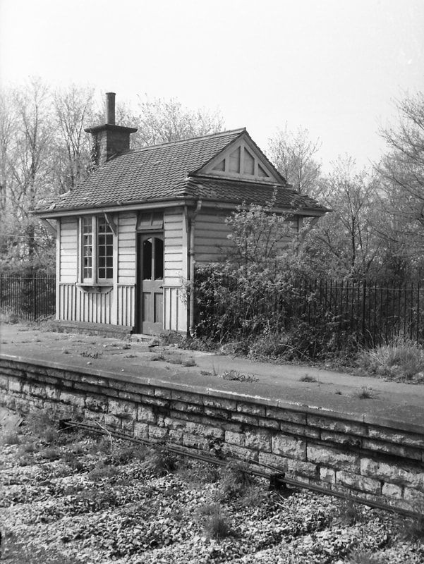
Three more photos taken on the same day, in black-and-white; firstly, the platform frontage from the south-east. Comparison with the station building at Wrington shows similarities – the pattern of timber boarding, the bay window, and the door with four panels. This shelter was added as part of the station enlargement to accommodate the new Wrington Vale line; the designs of these small buildings are clearly by the same hand.
27.
The platform frontage from the north-east. The loop track laid to serve this later platform has already been lifted.
28.
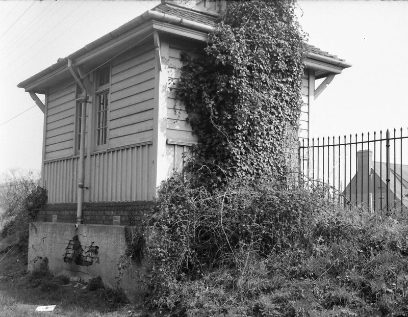
The back of the shelter, with the brick chimney stack all but enveloped in ivy. The shelter stood on a rendered brick sub-base below platform level. There was presumably a water-butt or tank under the rainwater downpipe, which has been salvaged or broken up.
Signal Box 1965
29.
Signal Box
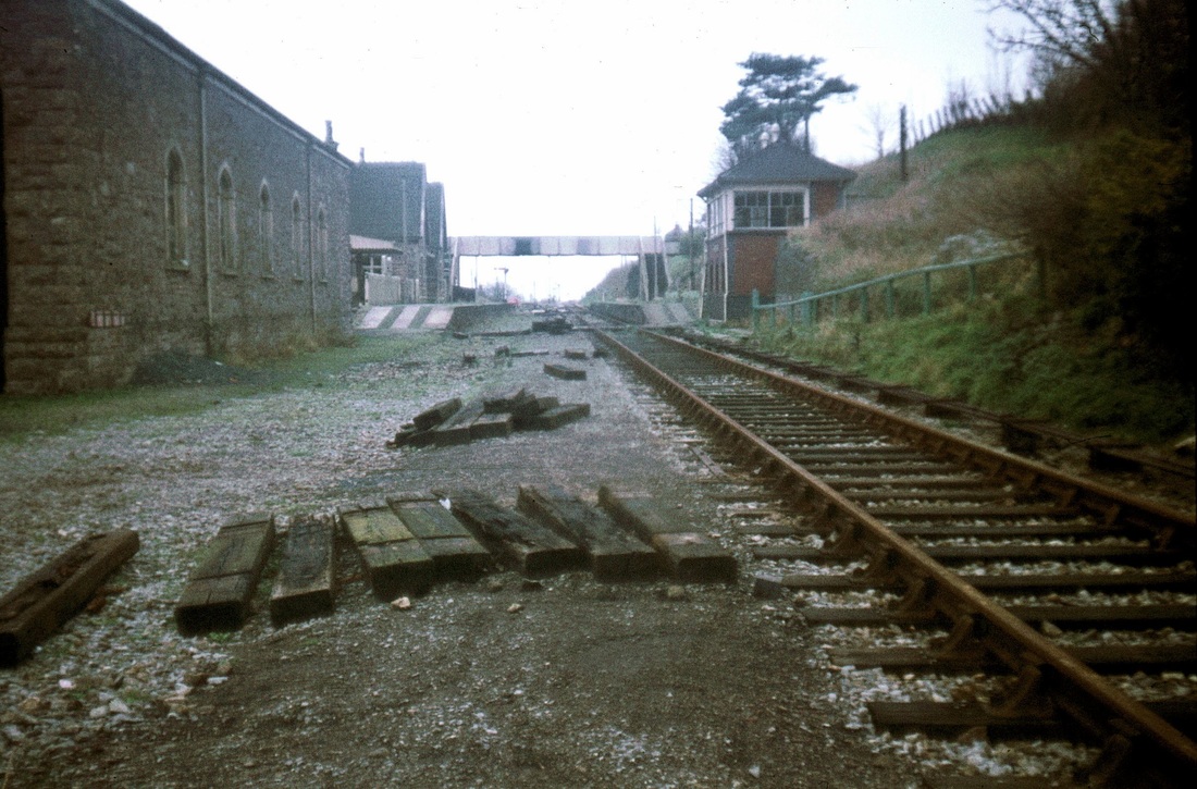
This colour photo from 22 April 1965 shows the signal box, partly-gutted and shortly before it was demolished, and also records that some of the track has already been lifted through the station. This 1901 box, the second at this station, was of brick rather than stone, unlike the earlier B&E station buildings.
30.
These black-and-white photos were taken on the same (sunny) day. This is the trackside frontage of the box.
31.
This is the southern elevation, with the timber access ladder to the raised cabin, and one of two doors opening into the ground floor room where the mechanical point and signal equipment was housed. On the right of the yet-to-be-lifted running line are the goods shed, and beyond that the block hut and the station building.
32.
The frontage and north elevation from the north-east. The roof ridge finials are still present.
33.
The north elevation and back of the box, from the north-west, and shaded from the sun. The second door into the ground floor room can be seen.
34.
The partly-gutted and unroofed interior of the cabin looking north, with the A370 road bridge in the distance beyond the platform waiting shelter.
35.
And looking south in the cabin, with a wire coat-hanger on the wall the only evidence of a former human presence.
Goods Shed 1965-66
36.
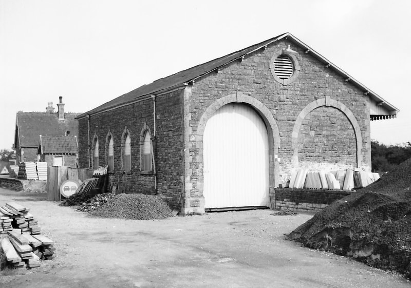
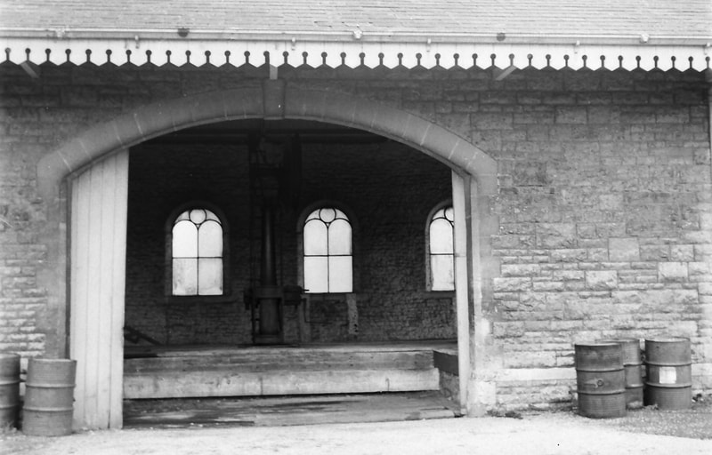
The Goods shed. This colour photo was taken from the south on 22 April 1965, standing next to the trackbed of the already-lifted siding that had until recently run through the shed. Visible through the archway is the block hut, and on the later second platform to the left is the waiting shelter. The girder bridge built to carry the A370 road over the line in the late 1860s is in the distance.
37.
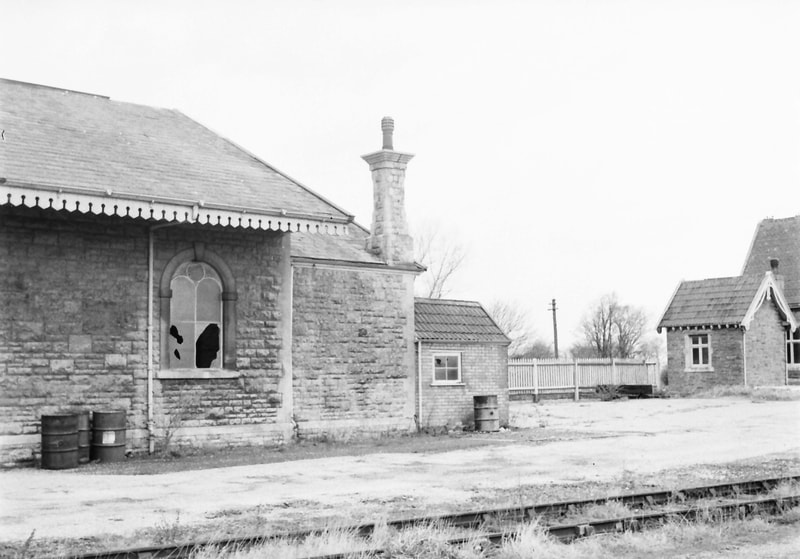
A number of black-and-white photos of the goods shed taken in September 1966 in an anti-clockwise ‘circumnavigation’, and beginning with three general views, this one from the south-west.
38.
This general view from the south.
39.
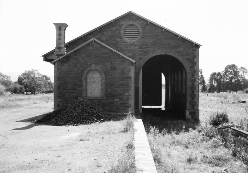
And this general view from the south-east.
40.
Closer views of the goods shed, beginning at the south end of the east (yard) side of the building.
41.
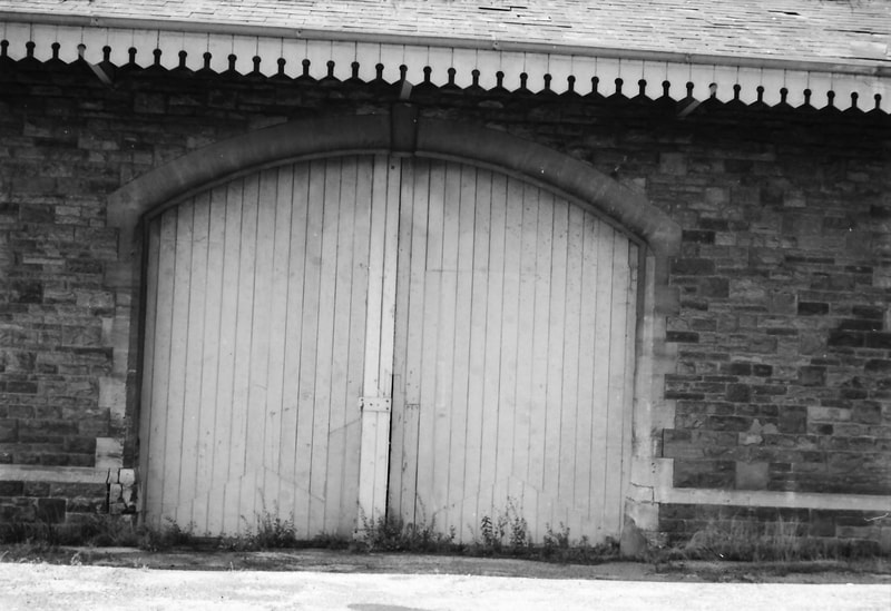
The central east side, with the double loading doors. This shed seems to have been very similar, if not identical, to that at Sandford & Banwell.
42.
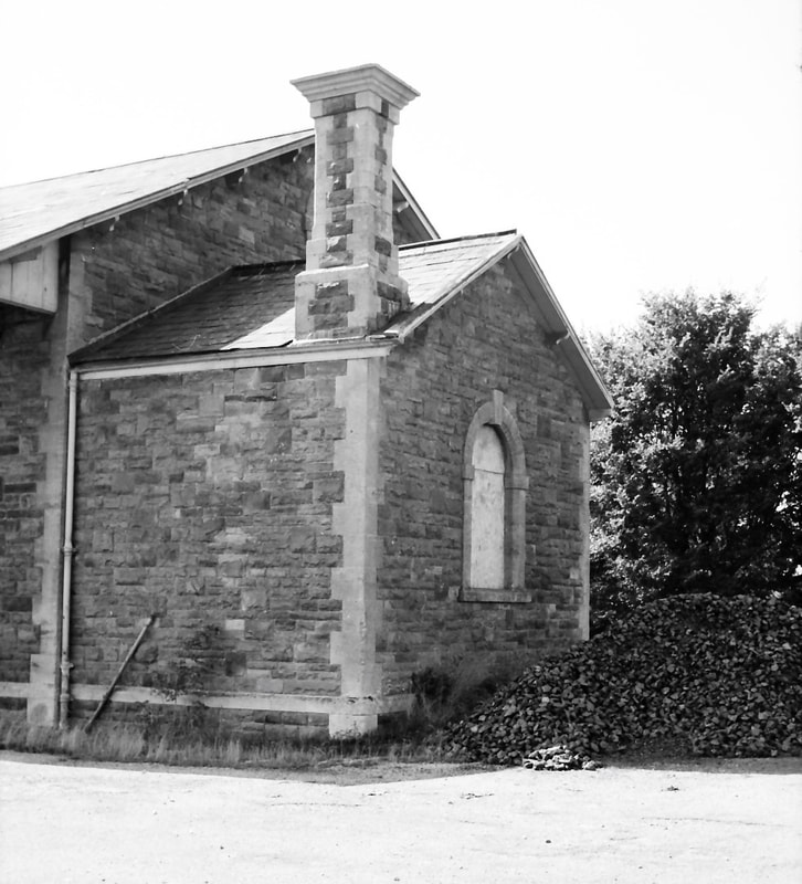
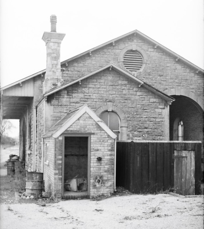
The north end of the east side of the shed and part of the abutting goods office.
43.
The goods office from the north-east.
44.
The goods office and the shed from the north. The erstwhile siding that ran through the shed continued into a bay between the loading platform on the left and the fenced back of the passenger platform, to terminate against the south side of the block hut.
45.
The goods office and shed from the north-west, looking across what is now an unfenced passenger platform and with all track lifted.
46.
The goods office and the northern end of the shed from the west.
47.
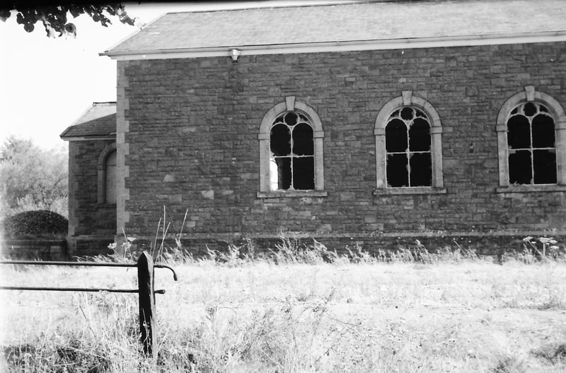
The northern part of the shed’s west elevation. (I seem not to have taken a similar closer view of the southern part, but that is visible in the general views; this west wall with its four windows is symmetrical about its centre-line.)
48.
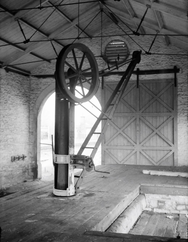
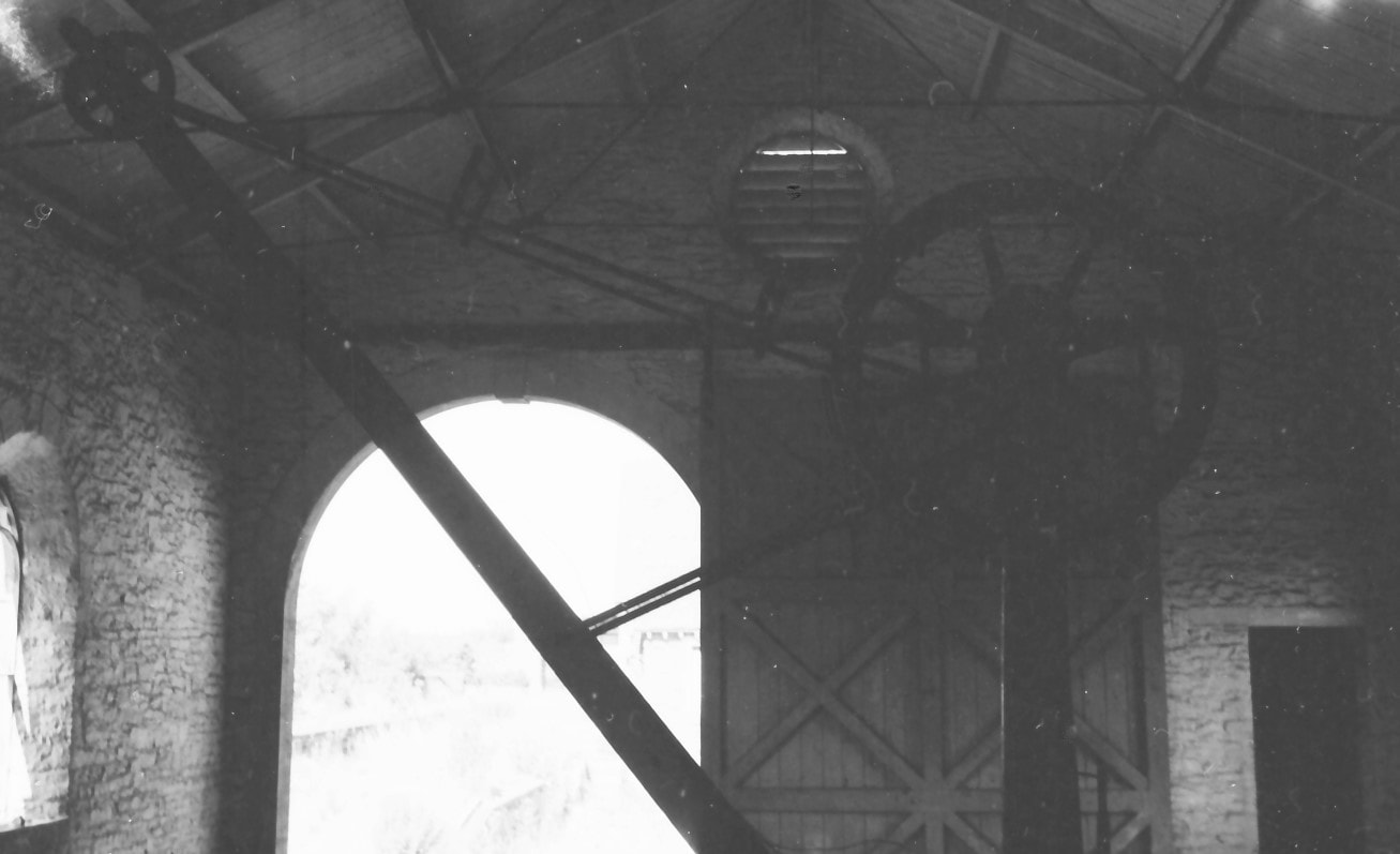
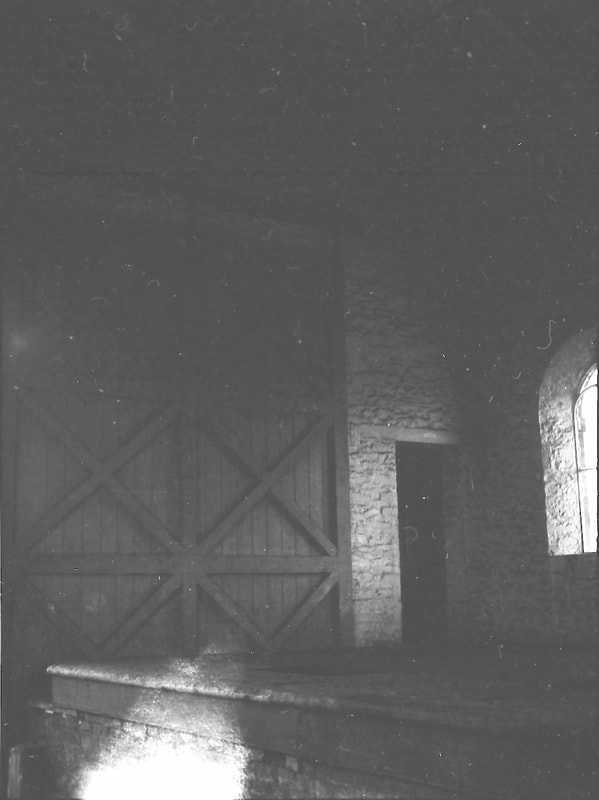
An interior view on 22 April 1965 looking north, with the crane. This shows the roof construction, the framing of the large sliding door at the north end, and the loading bay recessed into the platform. This allowed goods to be craned from rail vehicle to road vehicle, or vice versa, just by pivoting the fixed jib around. The roadside loading bay double doors were open that day, allowing me to take a reasonable photo with available daylight.
49.
These are some September 1966 interior views, taken in available light and with exposure times based on meter readings, not always successfully, and not helped by the loading bay doors now being locked shut. This is another view of the crane, looking north.
50.
Panning right, the door into the goods office can just be seen.
51.
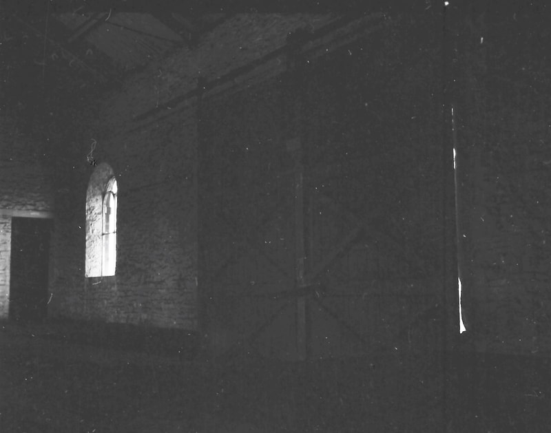
And panning further right, the east wall of the shed with one window, and the closed loading bay double doors.
52.
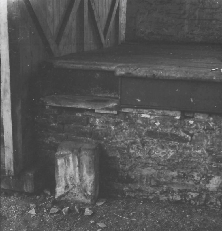
A step up to the loading platform from ground / track level at the north end of the shed.
53.
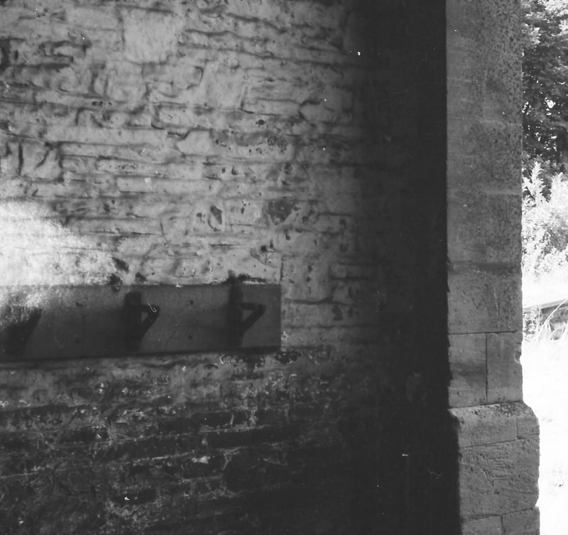
On the other side of the (now lifted) railway track from the step are brackets that once held sand buckets for use in case of fire.
54.
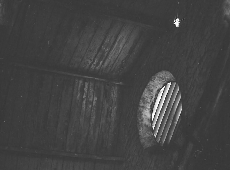
Looking up at an air vent in a gable end.
55.
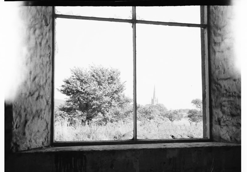
The view from a shed window looking east towards Congresbury parish church.
Bridges North of Congresbury Station 1966-68
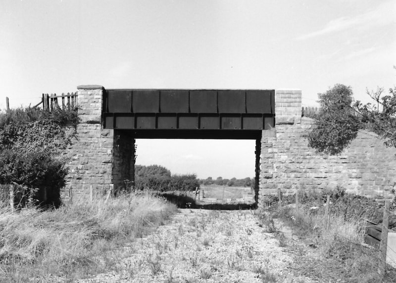
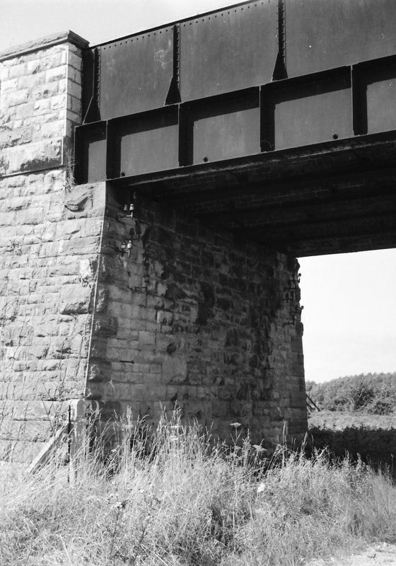
56. The A370 road bridge which had been built to cross the railway and was approached by embankments on either side, seen in September 1966.
57.
Note the beautifully built stonework of the bridge’s west abutment.
58.
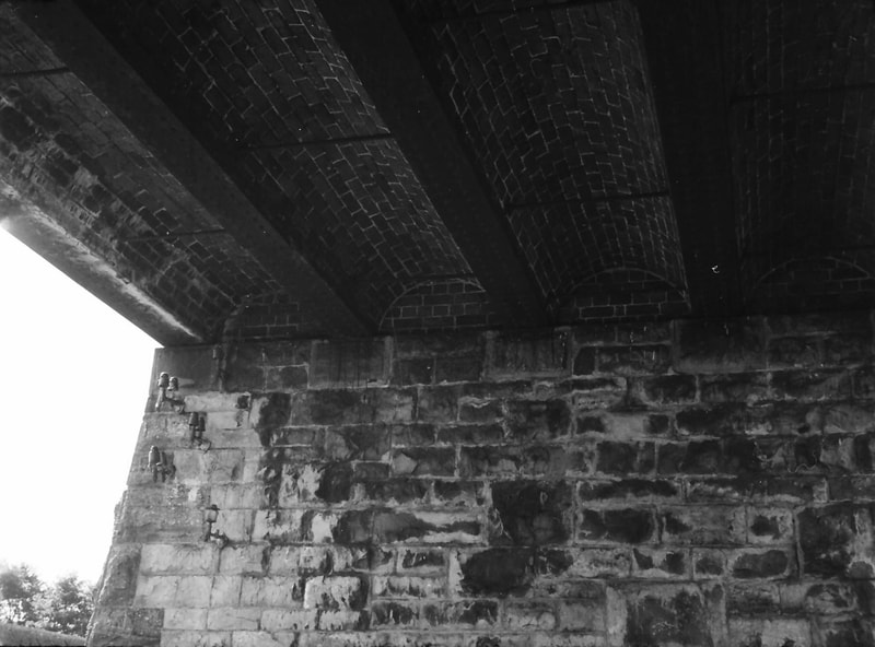
Looking up at the bridge deck, which comprised brick arches carrying the roadway and spanning onto girders – probably of wrought iron rather than steel in this 1860s bridge. Tie-rods anchored in the girders resist the outward thrust of the brick arches under load.
59.
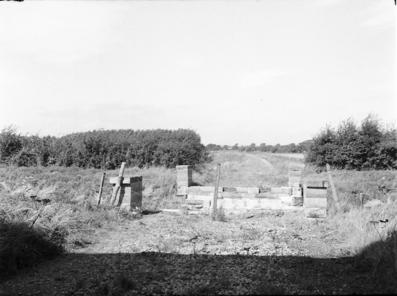
While the road bridge is still present and casting its shadow in this September 1966 view, the bridge that carried the railway over the River Yeo immediately to the north has gone – presumably demolished when the track was lifted.
60.
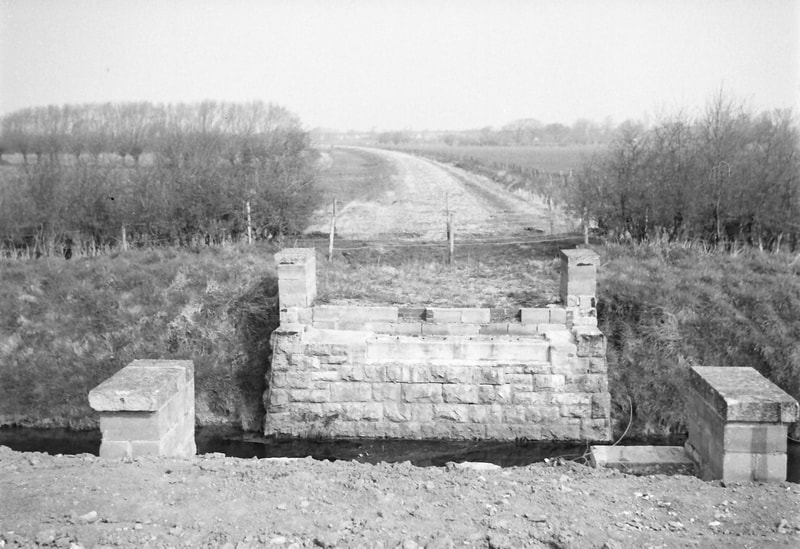
The abutments of the river bridge were built of stone with equal elegance to those of the road bridge, which when I passed by here in early 1968 had also gone.
Views from north of Congresbury Station 1966-68
61.
This view of the station looking south in September 1966 shows that the signal box and all but the brick chimney stack of the waiting shelter had already gone, but the station building, the block hut, and the goods shed still survive – as too does the running-in board on the original platform. Nature is reclaiming the site.
62.
By early 1968 the re-aligned A370 road was newly in place. The platforms and trackbed appear to have recently been cleared of vegetation, while a hut stands on the later platform to the right, with the waiting shelter chimney stack still in place beyond that. The running-in board on the original platform, on the left, has gone although its cast iron support posts remain.
63.
A closer view of the station. Later that year the remaining building would be demolished.
64.
Looking west in early 1968 at the re-aligned and widened A370 – although as yet without road markings, and with the pavements – that look to be more suited to urban than to rural roads – yet to be surfaced.
END
Congresbury was the junction for the Wrington Valley branch. Stations on this were at Wrington, Langford, Burrington and Blagdon.
For details of these please see Michaels Collection in the Wrington Valley branch - please click here.
For details of these please see Michaels Collection in the Wrington Valley branch - please click here.
Sandford and Banwell Four and a half miles from Yatton
Sandford and Banwell station is now a very attractive and interesting heritage site, very well worth a visit.
To find out further details please click below
sandfordstation.co.uk
To find out further details please click below
sandfordstation.co.uk
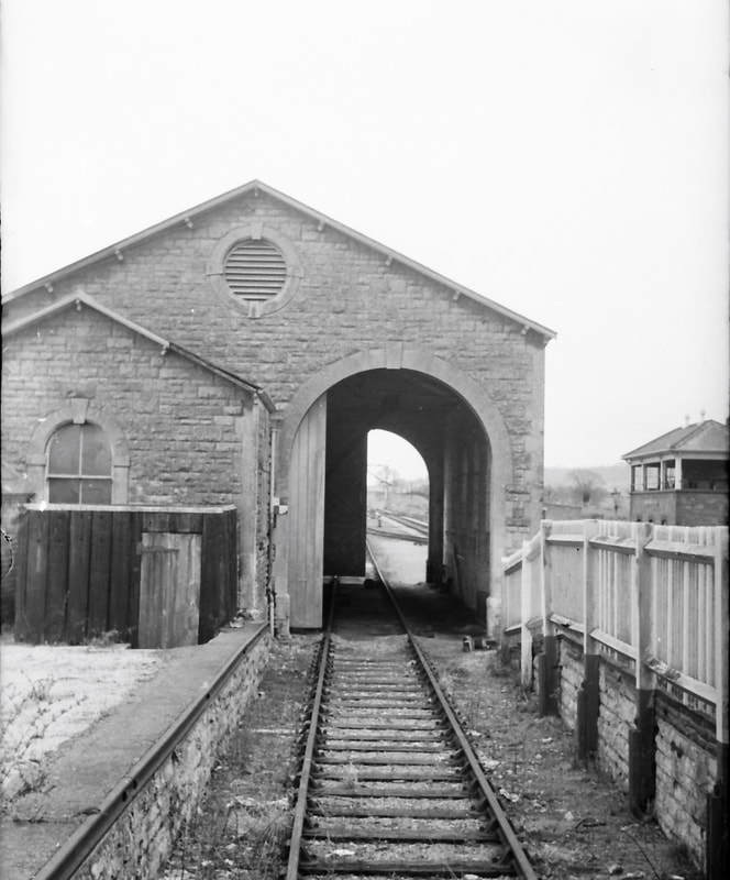
Sandford & Banwell Station as Michael Bussell found it in 1965-66
Michael Bussell
The station opened with the Cheddar Valley line on 3 August 1869, located about midway between these two villages. There was a single platform on the east side of the running line, with a station building and a small ‘block hut’ just to its south, and further south a large goods shed, all of stone and in the Bristol & Exeter Railway’s attractive style, The block hut served as the signal box, with point and signal levers, and the block telegraph instruments for communication between signalmen from which the building took its name. In 1905 the Great Western Railway built a goods loop along the west side of the running line and opened a new signal box next to it, both to accommodate the increased mineral traffic through the station arising from the newly-laid connection to Sandford Quarry. (The block hut thereafter seems to have been used as a lamp store, a waiting shelter, or a parcels office – sources differ on this.) Two ground frames were located at the southern end of the station, one to control access into the goods yard from the running line via a facing point, and the other covering access to and from the quarry line.
The goods yard was closed on 10 June 1963, and the last passenger train ran on 3 September later that year. The goods loop closed on 1 July 1964, and the last stone from the quarry to be moved by rail was shortly before complete closure of the Yatton-Cheddar section on 1 October 1964.
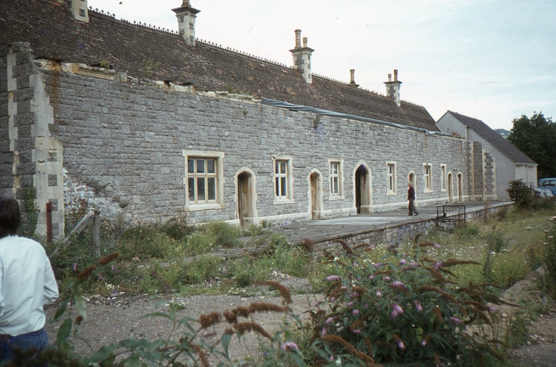
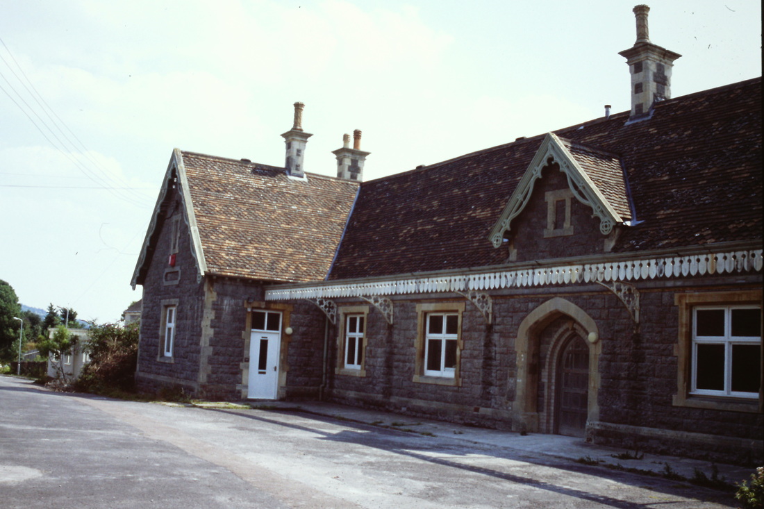
Unlike the buildings at the similarly-laid-out station at Congresbury, those at Sandford & Banwell have survived. On my first of three visits in early 1965, the station was derelict, with track-lifting progressing northwards, as my photographs show. By the time of my last visit, in September 1966, I recorded that the station site was now occupied by Somerset County Council Highways Department, Axbridge [sic] Division, Divisional Surveyor’s Depot. The signal box had by then been demolished, but the use of the station site as a council depot might well have helped to ensure the survival of the original B&E buildings over the next few years when others, such as those at Congresbury, were being pulled down. Subsequently the site was taken over by Sandford Stone, who restored the buildings. More recently it has, happily, become the Sandford Station Railway Heritage Centre, alongside a sheltered housing scheme. The main station building, the former block hut, the goods shed (now adapted for community use), and the Station Master’s House were all listed Grade II in 1983.
The station features in two hardback books on the line, ‘Steaming through the Cheddar Valley’ by Derek Phillips (Oxford Publishing, 2001, in particular pages 170-176), and in ‘The East Somerset and Cheddar Valley Railways’ by Richard Harman (Lightmoor Press, 2009, pages 94-99). It also receives considerable attention in a book of local history and personal reminiscences compiled by Peter Knight, ‘A Parish and the Railway: Winscombe and Sandford before, during and after the Railway’ (Electra Publishing, Cheddar, 2000).
These pictures which are all the copyright of Michael Bussell are numbered with odd numbers on the left. To obtain an enlargement please click on the relevant photograph. A descriptive text can be found at the foot of this collection.
Station Approach Road
1)
Station Approach Road. The road entrance to the station from the Sandford-Banwell road, looking south, in September 1966, when the site was in use as a council highways depot. The station building is to the right with the goods shed beyond; the goods yard (now trackless) is directly ahead; and the former stationmaster’s house is beyond, on the left. Behind the nearer fence can be seen the top of a van body belonging to Marcroft Wagons Ltd., a local company that maintained railway goods vehicles and had depots at a number of stations. This van, serving as a lock-up hut, had been abandoned when the line closed.
The Station Building
2)
This and the following photos were taken on a damp 13 March 1965. Track on the goods loop to the right has been lifted, but remains for a little longer on the running line alongside the platform. In this view looking south at the station building, the platform running-in board is still standing.
3)
Beginning an anti-clockwise circuit of the station building. The fencing encloses a passageway leading to the gents’ toilet and a lamp store, above which a timber framework once supported advertising poster boards, probably encouraging train travel.
4)
A clearer view of the platform canopy. These Bristol & Exeter station buildings had an architectural character that is not found in all, and certainly not in most recent, railway buildings.
5)
Looking past the station building south towards the goods shed and signal box. Only some sleepers remain of the goods loop track.
6)
The station building platform side from the south-west. The nearer small building in the same style was originally the ‘block hut’, or signal box, as explained above.
7)
The back and south façade of the station building from the goods yard, with a loading dock in the foreground.
8)
Returning to the north end of the building, with a contractor’s lorry waiting to be loaded, probably with sleepers or chairs. The cast iron notice on the fencing is headed ‘Great Western Railway’, and may perhaps now be in a private collection of railway memorabilia.
9)
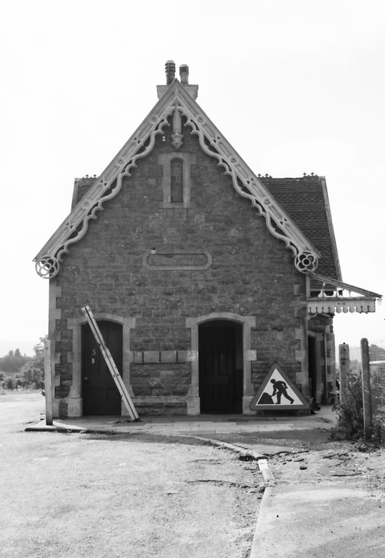
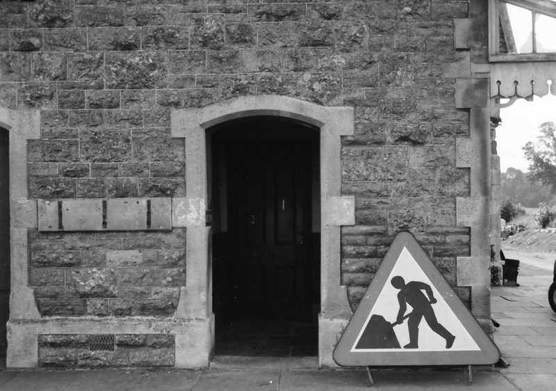
September 1966, and the site is now a council highways depot. The ‘men at work’ road sign is next to the erstwhile gents’ toilet entrance, but the passageway fencing has gone.
10)
A closer look at the stonework around the gents’ toilet entrance shows the high quality of the jointing of the coursed stonework, and the elegant freestone framing around the doorway. There seems to have been some later alteration to the lower part of the wall to the right of the door, with smaller stones being inserted. The timber board on the left has hooks for fire buckets.
11)
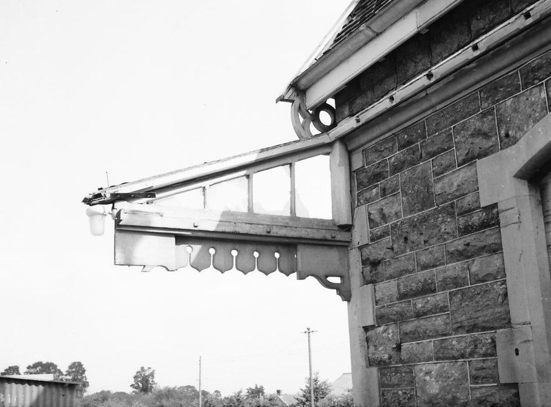
The platform canopy has taken a beating; its roof and the timber corner-post have gone, leaving only a damaged side panel.
12)
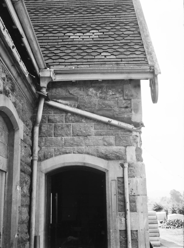
The loss of the canopy reveals the roof rainwater drainage arrangements here.
The Block Hut
13)
The south side of the block hut seen from the siding that passed through the goods shed, which is behind the camera. This and the following photo were taken on 13 March 1965.
14)
The rear and south side of the block hut. Even for this small building the architectural detailing of bargeboards and the quality of stone workmanship is impressive. I took more numerous photos of the corresponding block hut at Congresbury, which can be seen under the entry for that station. Phillips in his book on the line (page 173) recounts that, some years before closure, three loaded stone wagons broke away down the incline from Sandford Quarry, ran through the goods shed, and demolished this building, which was then rebuilt exactly as originally. However, at Congresbury the roof is a mix of rectangular and ‘scalloped’ tiles, both flat, whereas here the roof is of profiled pantiles. I do not know if the roof here was always tiled like that, or if the pantiles date from the rebuilding.
The Signal Box and Point and Signal Controls
15)
Looking south towards the signal box from the station platform on 13 March 1965.
16)
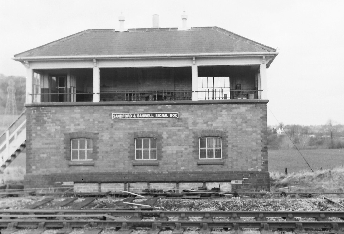
Just 12 days later, 25 March, and the signal box glazing has been systematically destroyed, here on the north side. The entire building had gone by my next visit on 22 April, so I was fortunate to have this and the following photos taken before the box disappeared.
17)
The track side of ‘Sandford & Banwell Signal Box’.
18)
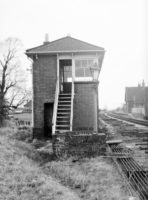
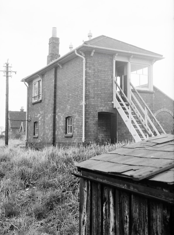
The south side of the box, which had been opened in 1905 when the goods loop and the line to Sandford Quarry were introduced.
19)
The south side and back of the box, with a permanent way hut in the foreground.
20)
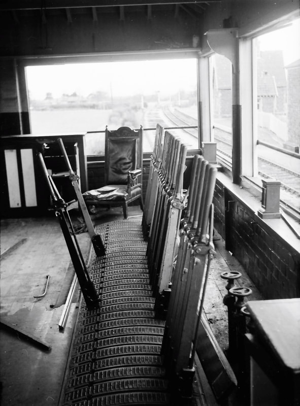
The signalman’s outlook northwards from the lever frame.
21)
A look at the ‘workings’ under the lever frame.
22)
The ground frame at the southern end of the station to control, in particular, the facing point locking into the goods yard for trains from the south. Beyond the running line the ground rises, carrying the line to Sandford Quarry.
23)
The point rodding and signal wiring controlled by this ground frame.
The Goods Shed and Cattle Pens
24)
Three general views of the large goods shed taken from a distance in September 1966, when the station site was in use as a council highways depot. Here it is seen from the south-west, with the station building beyond.
25)
Here from the south-east, with the loading dock on the south side that formerly accommodated cattle pens, seen in my earlier March 1965 photos below. Use is clearly being made of the dock for highway materials storage.
26)
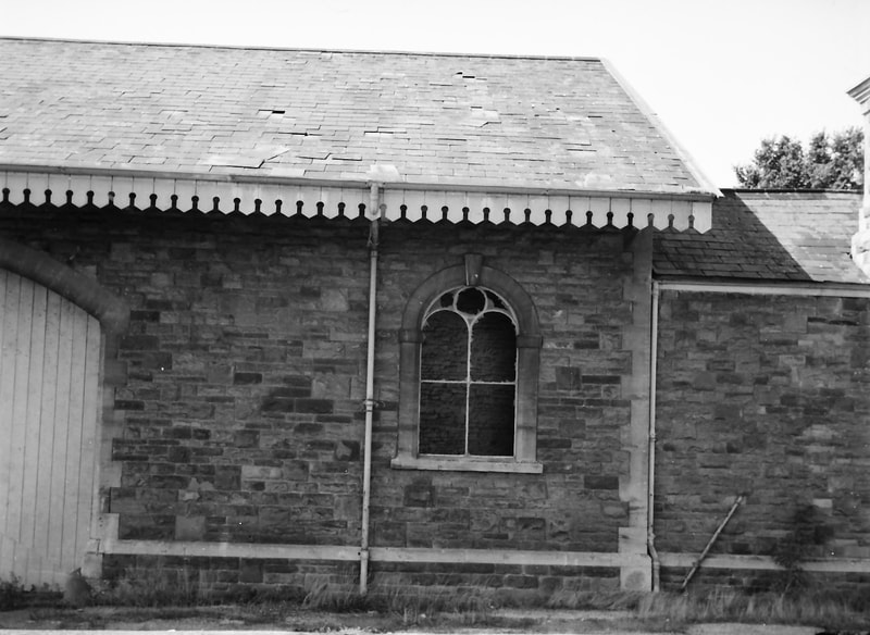
The goods shed from the north-east, showing the full-length canopy over the roadside façade and the goods office on its north side – its appearance not enhanced by the later extensions in brick and corrugated iron.
27)
An earlier series of closer views of the goods shed, outside and inside, taken on 25 March 1965. This exterior view is from the south-west. The arm of the signal post is lying against the shed wall, with tracklifting and other removals imminent.
28)
The goods shed from the south, with cattle pens on the loading dock in the foreground.
29)
The southern end of the (east-facing) road side of the goods shed.
30)
The central section of the road side, showing the wide doorway (with the sliding double doors open), the internal platform for loading and unloading, the crane standing at mid-length of the shed, and the ground level recessed area under the shed roof so that railway vehicles and carts can both be loaded and unloaded using the crane. The windows and the dark interior give an ‘ecclesiastical’ flavour.
31)
The northern end of the goods shed road side and office, with the block hut beyond.
32)
A closer view of the original goods office and its later accretions, from the north.
33)
Looking through the goods shed from the north, with both rail line doors partially open; track still in place for a little longer.
34)
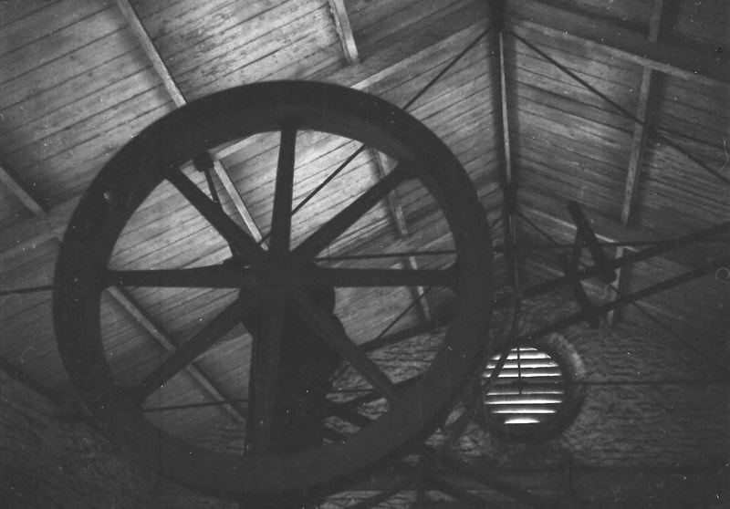
The large pulley wheel and jib of the hand-operated crane with the roof structure beyond, photographed in the available, limited, light.
35)
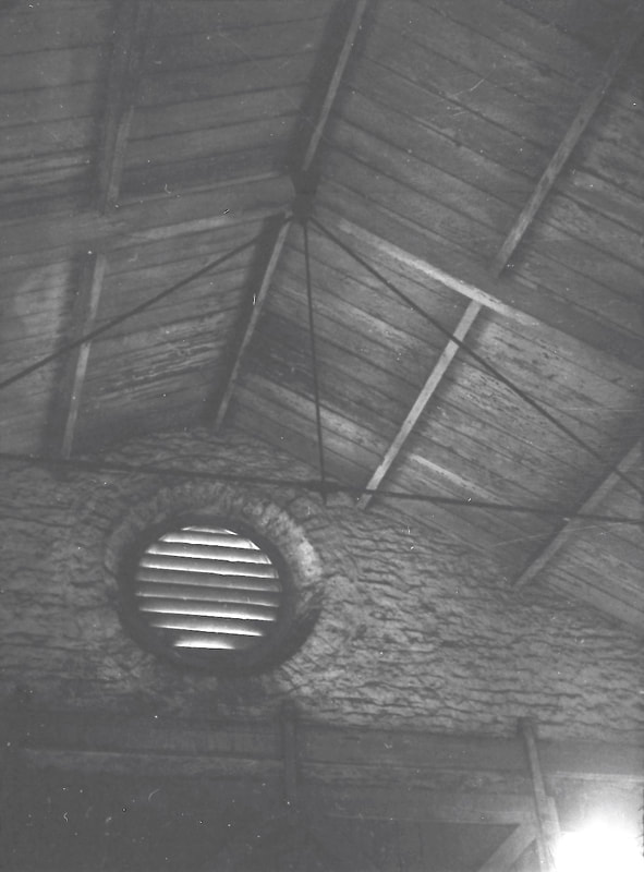
Looking up to just make out the simple timber and wrought-iron rod roof trusses, and the timber purlins and boarding, with a circular air-vent beyond in the gable wall.
36)
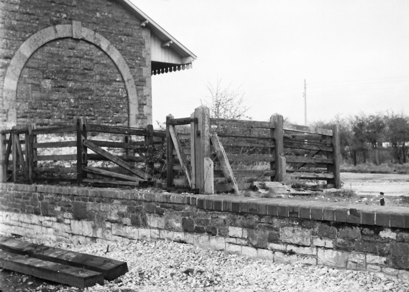
Cattle pens on the loading dock at the south end of the goods shed on 22 April 1965.
37)
A closer view of the cattle pens. Their place had been taken by highways depot drain pipes when I visited in September 1966, as in my photo above.
The Stationmaster’s House
38)
A view across the station taken from just outside the signal box on 25 March 1965, looking across the partially-dismantled single slip between the now-lifted good loop and the goods yard. The stationmaster’s house is not large, but its design harmonises with the other Bristol & Exeter station buildings. The loading gauge would check that vehicles were not exceeding the line’s running clearance ‘envelope’ as they were drawn out of the goods shed. The corrugated iron hut next to the loading gauge was an oil store. In 1983 the Stationmaster’s House, along with the main station building, the block hut, and the goods shed, were listed Grade II as of architectural and historical interest.
The Station from the North
39)
Looking south towards the station on 22 April 1965, from just beyond the bridge over the Sandford-Banwell road (which had been gone when I passed by this way in March 1967). Track lifting is in progress, with a contractor’s van to be seen on the right of a remaining section of track alongside the station platform.
40)
Crossing the bridge allowed a closer view of this melancholy scene. Happily, the original station buildings survived, and indeed have since been restored.
The Station from the South
41)
A rather distant and hazy view of the station from the running line south of the station on 25 March 1965. (The ballast appears fresh and clean: it was not unknown in BR days for track to be replaced or re-ballasted, or railway buildings to be repainted, shortly before the line or station was closed to traffic – a wasteful and galling example of poor communication between operating and maintenance departments.)
42)
From almost the same point on 22 April, only four weeks later: the track and the ballast have gone. The bridge that can just be seen in the distance, carrying the Sandford-Banwell road over the railway, was demolished not long afterwards.
43)
Approaching the station area from the south on 25 March 1965 shows that track-lifting has begun from the goods yard headshunt on the right. The signal box in the distance is still standing – for just a little longer.
44)
A little closer to the station on the same day, the goods yard track is still in place although the goods loop on the far left has already been lifted.
45)
From a little further south on 22 April, it can be seen that all the track in the station has now been lifted – and the signal box has been demolished. A few sleepers and other items remain to be salvaged.
Banwell Station 1in 2014 Chris Osment
Winscombe (somerset) Five and three quarter miles from Yatton
Front and back of season tickets Winscombe to Wells - The Mike Roach collection
Winscombe Station 1966 - Michael Bussell
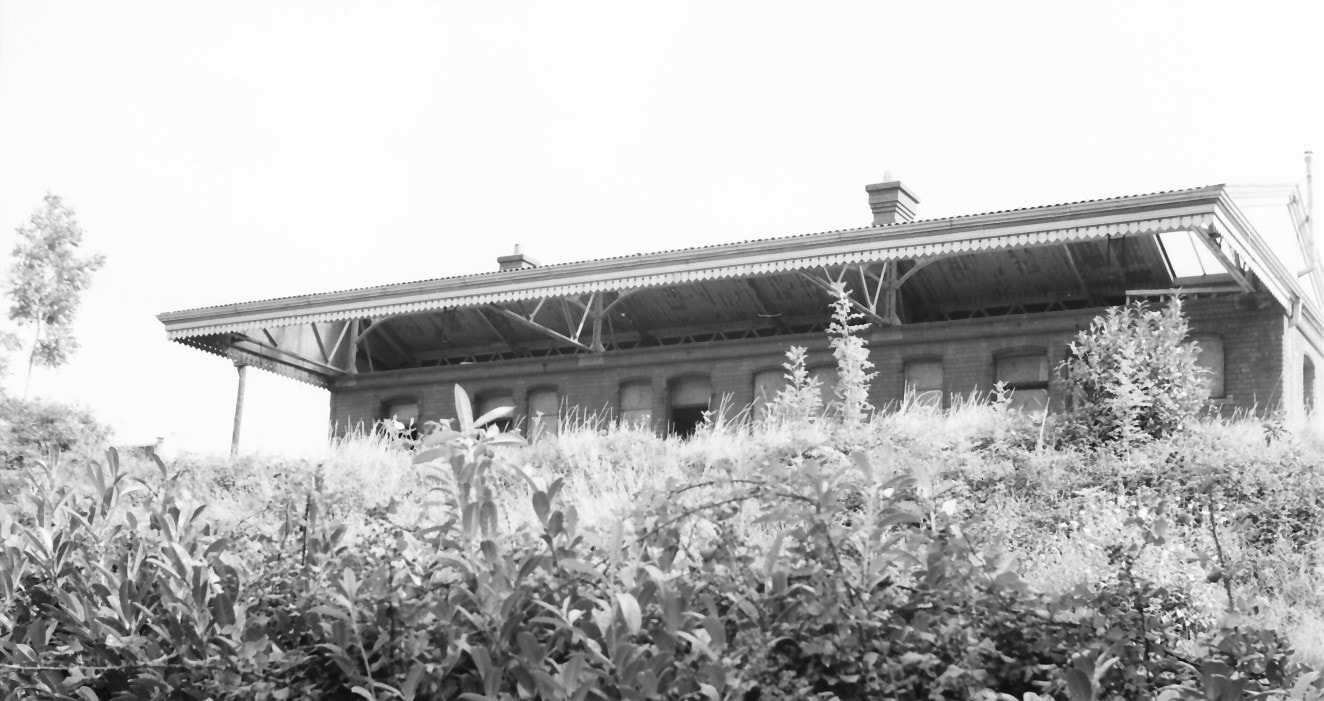
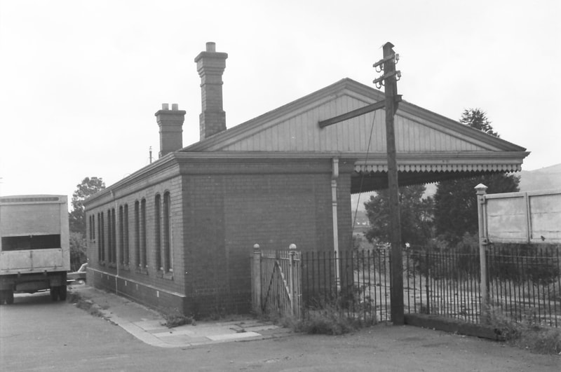
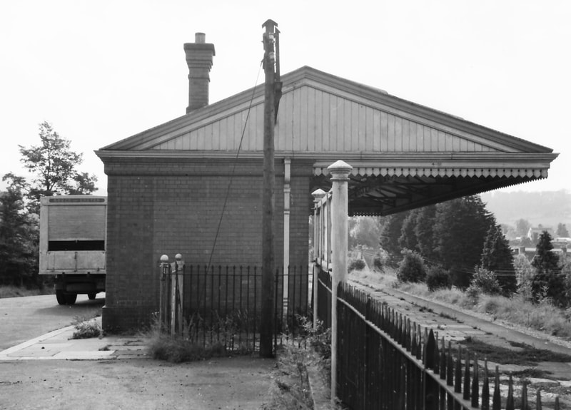
This station opened with the Cheddar Valley line on 3 August 1869. There was originally a short single platform on the east side of the running line, with a station building and a small ‘block hut’ just to its north, both stone-built in the attractive style adopted by the Bristol & Exeter Railway for most stations on this line, although the station building was considerably smaller than those on most other stations. It was originally named ‘Woodborough’, in which village it was actually located; but very soon after opening this was changed, to avoid confusion with a station of that name already open on the GWR in Wiltshire. Winscombe was a straggling village whose centre was a good three-quarters of a mile from the station, so perhaps – as was common (and euphemistic) practice for West Country stations located some distance from the community they professed to serve – it might better have been named ‘Winscombe Road’. But it wasn’t.
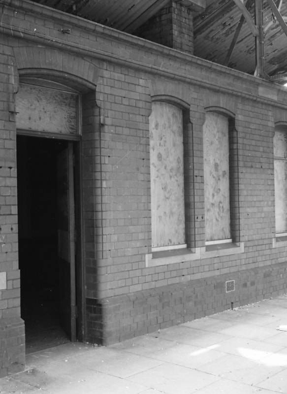
A proposed introduction of longer passenger trains led to the extension of the short platform and the construction of a new station building that opened in 1905. The GWR by that time favoured brick over stone (its lower cost doubtless being a factor), and the new building was of mainly red brick set on a black brick plinth. The jambs of doors and windows were formed with rounded ‘bullnose’ bricks, with their openings being spanned by shallow arches, which softened what could often be (and these days too often is!) the plain austere appearance of functional brick buildings. A generous canopy, carried on steel trusses, ran the full length of the building and projected out beyond the platform edge.
My visit in September 1966 appears to have been fairly brief: I looked at and photographed only the station building, derelict but still standing three years after closure of the line, and a year or so after track had been lifted. The line here was on an embankment, which made a ‘full-face’ photo of the building’s platform elevation difficult – aggravated by a generous growth of vegetation on the embankment.
The station is well covered in the two substantial books on the Cheddar Valley line. ‘Steaming through the Cheddar Valley’ by Derek Phillips (Oxford Publishing, 2001) has some excellent photos, some by J H Moss and also his sketched station plan, on pages 165-170; ‘The East Somerset and Cheddar Valley Railways’ by Richard Harman (Lightmoor Press, 2009, pages 100-104) includes good views of the track-side elevation, a station layout based on the 1903 OS, and a lovely set of drawn elevations and floor plan of the 1905 station building, at a declared scale of 2mm to the foot, which I believe are derived from original plans of the rebuild.
The station, like that at Sandford & Banwell, also receives considerable attention in a book of local history and personal reminiscences compiled by Peter Knight, ‘A Parish and the Railway: Winscombe and Sandford before, during and after the Railway’ (Electra Publishing, Cheddar, 2000). The station’s history and operation during its lifetime of service are described in some detail, as is its partial ‘resurrection’ after the derelict and sadly vandalised station building had been demolished in 1976. Nearly a quarter of a century later, the station area was cleared and the building’s foundation brick courses were exposed, in preparation for the site to become Winscombe’s ‘Millennium Village Green’, opened with due ceremony on 6 May 2000. A good number of the original ‘bullnose’ bricks had survived and were laid out on the flat to form a representation of the platform side elevation. The book includes no fewer than 16 colour photos of the station, of which half illustrate the site preparation and reinstatement of the demolished station building’s ‘footprint’. (Alas, this valuable local study is probably out of print now.)
Winscombe station photographs All are the copyright of Michael Bussell
Images are numbered 1 on top left, 2 on top right then follow down.
To obtain a larger picture please click on the selected view.
To obtain a larger picture please click on the selected view.
1
A view along the station platform looking north towards Sandford & Banwell and, eventually, Yatton. The generous protection afforded by the canopy to passengers in poor weather is evident, but sadly will never again be needed. Just visible beyond the building and the running-in board is a standard GWR corrugated iron lock-up shed, which Knight’s book records is now at the Great Western Society’s Didcot home and in use by the Signal & Telegraph folk.
2
My attempt to photograph the platform side of the station building from the foot of the embankment, not eased by the thriving vegetation on the embankment’s slope!
3
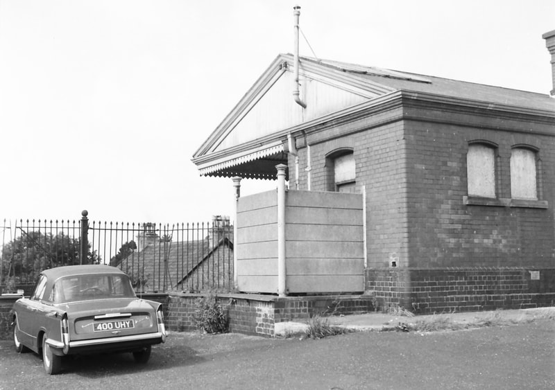
The south end of the station building and part of its back wall. Brick was quite widely used in new buildings across the GWR in the first decade of the 20th century. The screening to the gents’ toilet entrance is more robust (and more obtrusive) than the timber fencing found at other Cheddar Valley stations, comprising what I noted as being thin precast concrete slats supported on cast iron posts.
4
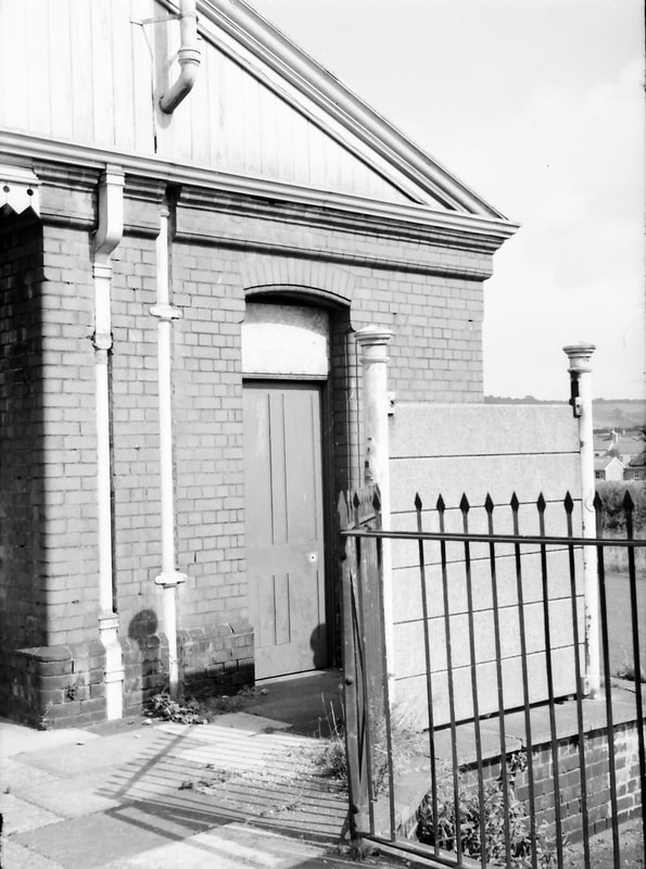
A closer view of the toilet entrance area. The platform ‘spearpoint’ railings are still in place, but the toilet door has been sealed.
5
Moving onto the platform gives a view of the distinctive bullnose brick door and window jambs, and the shallow arches that span their openings. The windows have been boarded up – but this door is left open…
6
The north end and back wall of the station building, taken into the sun so I have tweaked the scanned image to bring up detail in shadow. The lorry being parked where it was prevented me from taking a more ‘broadside’ photo of the back wall. Interestingly, the posts supporting the running-in board look to be identical with those on the gents’ toilet screening. The somewhat massive telegraph pole (for so few wires) also appears in older photos of the building; the backstay down to the ground and the steel joist projecting from the gable suggest that the pole’s foundation had become rather ‘wobbly’.
7
A last view of the building from the north.
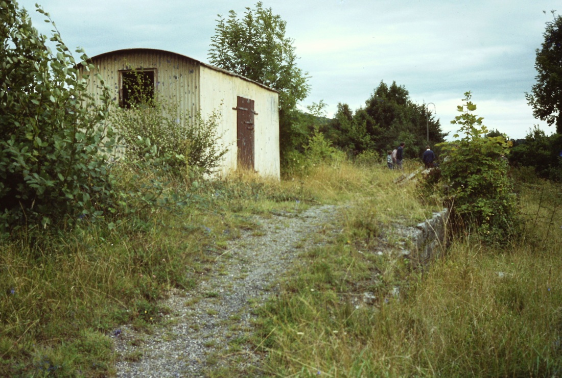
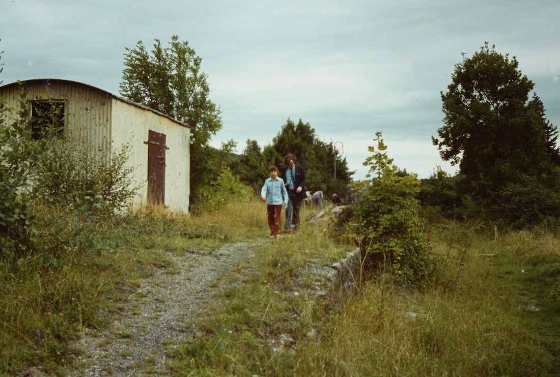
Winscombe station - the remains in 1979. Roger Winnen.
This shed can aslo be seen in the distance in Michael Bussell's photographs number one.
Winscombe, looking towards Yatton, now part of their ‘Millenium Green’. The platform remains, with the outline of the former station building visible. Copyright Chris Osment. This view taken on the 18th September 2014 - a very considerable improvement on the views seen above, a credit to all concerned.
Axbridge Eight miles from Yatton
The Axbridge Collection
There now follows a collection of photographs taken at or near Axbridge. The very nature of this website being a 'scrapbook' means that they are not necessarily in date order.
There now follows a collection of photographs taken at or near Axbridge. The very nature of this website being a 'scrapbook' means that they are not necessarily in date order.
Axbridge 1963 and 1966
Michael Bussell
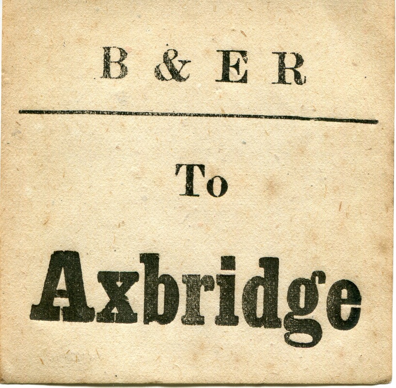
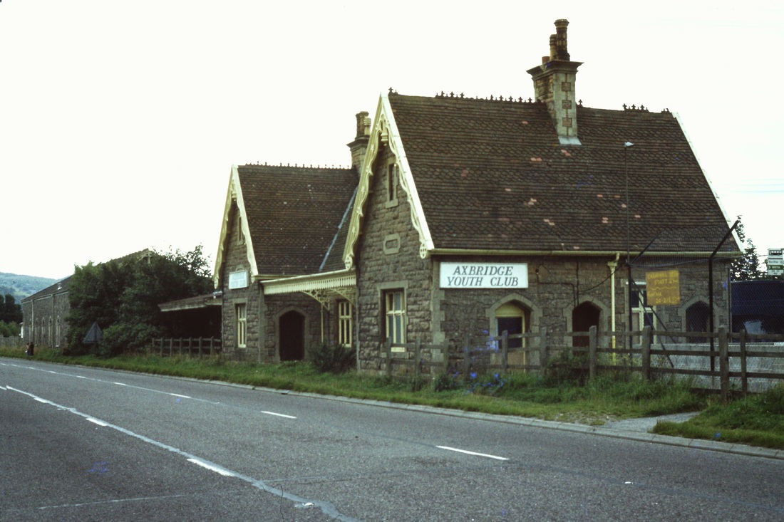
I made a round trip on the Cheddar Valley line, Yatton-Witham-Yatton, on the morning of Saturday 7 September 1963, the last day of passenger services. I returned three years later in September 1966, after the track through the station had been lifted and as the trackbed was being prepared to accommodate a diversion of the A371 Weston-super-Mare to Wells road that would bypass Axbridge village centre. My interest was mostly in the main station building and the goods shed, both of which happily have survived although now alongside a busy road. There are informative descriptions of the station and its working life in ‘Steaming through the Cheddar Valley’ by Derek Phillips (Oxford Publishing, 2001, in particular pages 156-164), and in ‘The East Somerset and Cheddar Valley Railways’ by Richard Harman (Lightmoor Press, 2009, pages 106-112, which includes a plan and elevations of the main station building).
1)
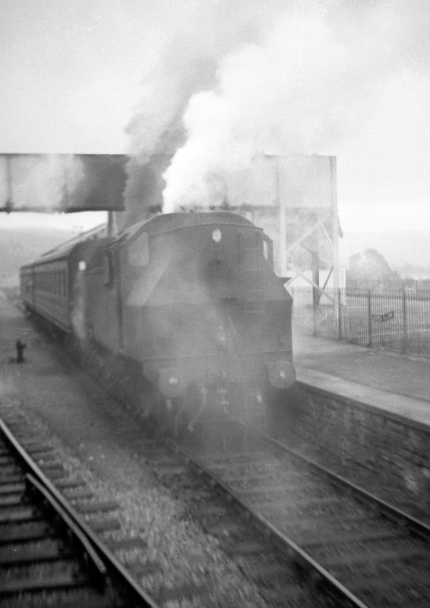
At Axbridge looking from my Witham-bound train towards the train to Yatton, its locomotive wreathed in smoke and steam, this was on the morning of the last day of passenger service, 7th September 1963. The section of line between Yatton and Cheddar, including Axbridge, was closed totally on 1st October 1964, with its track being lifted in mid-1965. Copyright Michael Bussell.
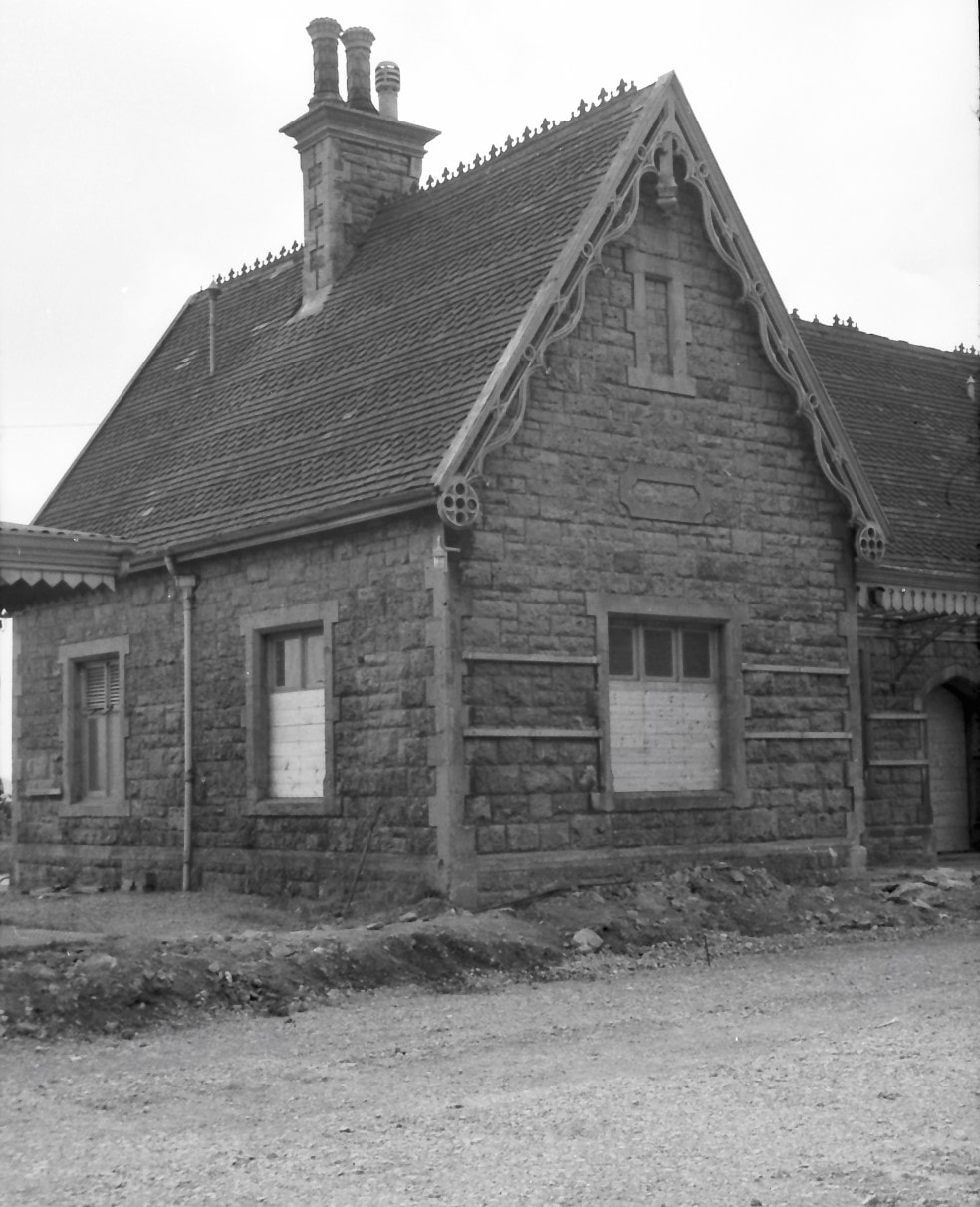
5) The eastern half of the station building from the erstwhile trackside; the ground level has been raised to platform level in preparation for road surfacing, while the platform itself has gone. The two boarded-up windows served the general waiting room, with the ladies’ waiting room beyond. Copyright Michael Bussell.
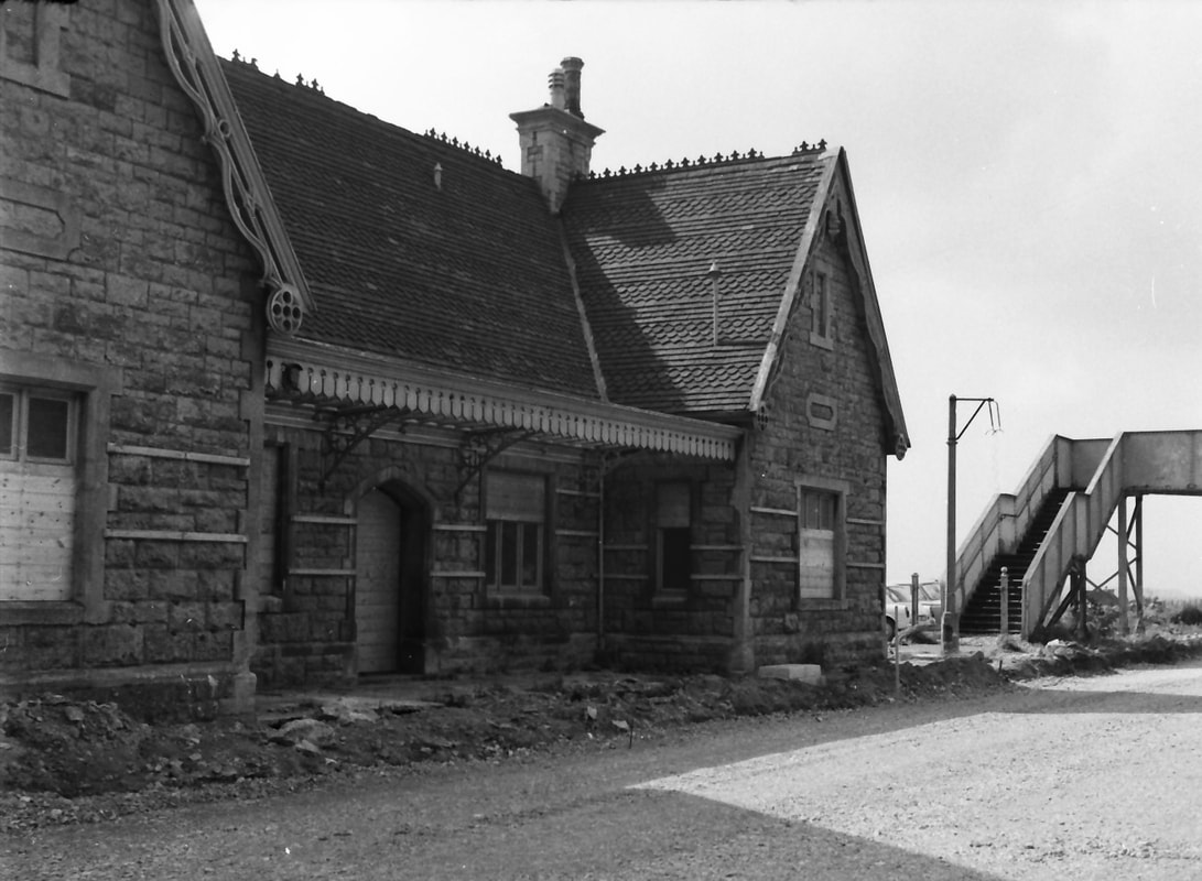
6) Looking westwards along the platform façade and towards the footbridge that linked the station platforms, which was also connected to a footpath from the hillside behind the northern platform. This footpath into the village centre had been severed by excavations to form the station area, so the footbridge maintained this pedestrian route. Copyright Michael Bussell.
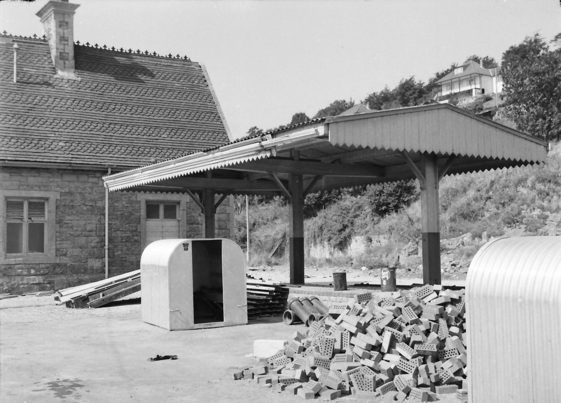
12) A free-standing canopy between the station building and the goods shed, which was erected in 1924 to provide some weather protection to the loading of strawberries and milk directly into GWR vans. Cheddar Valley strawberries provided much seasonal traffic for the railway, which – unlike road transport – could transport this perishable fruit quickly and intact to London and other distant destinations. (The closure of the railway seriously damaged the local strawberry growers’ trade – one of many adverse effects of branch line and other railway closures in the 1960s, whose consequences endure.) Copyright Michael Bussell.
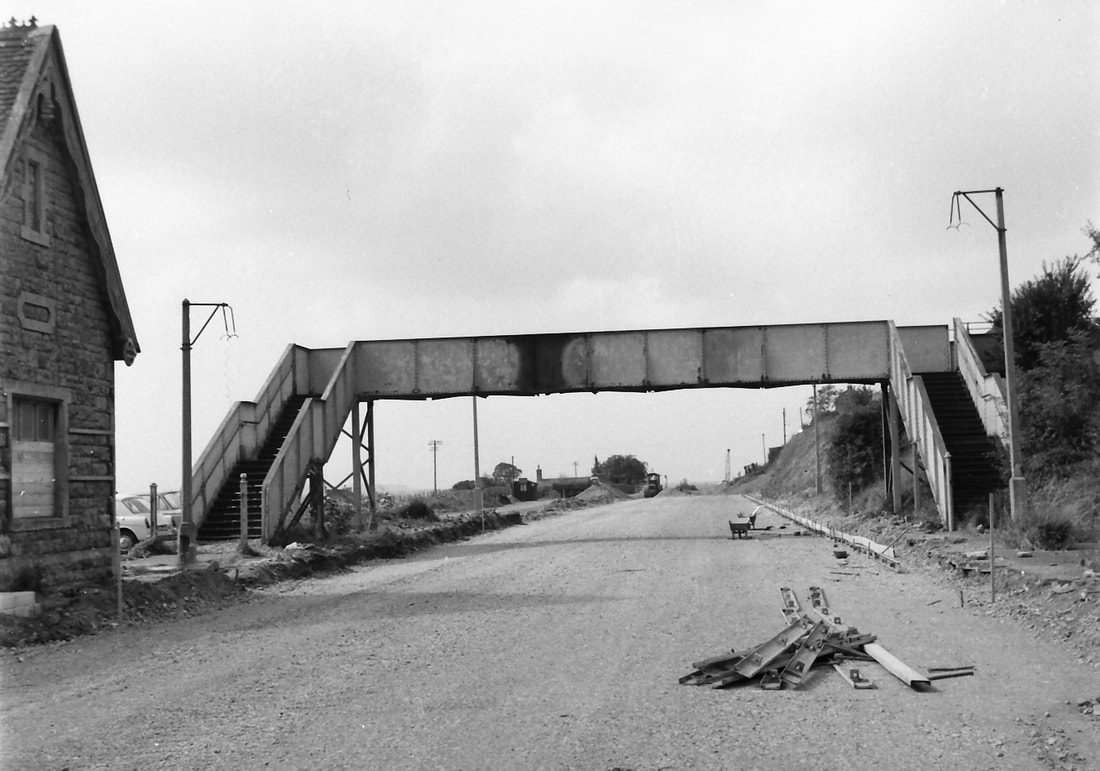
13) Looking west along the former railway route, soon to carry motor vehicles rather than trains. The extension of the footbridge to link with a footpath on the hillside is just visible at the right-hand edge of the photo. Although the station building and the goods shed have survived, the footbridge and the ‘gallows’ lighting columns, seen here in 1966, have not. Copyright Michael Bussell.
Many thanks to Michael Bussell for the above section.
Cheddar Nine and three quarter miles from Yatton
The Cheddar Collection
There now follows a collection of photographs taken at or near Cheddar. The very nature of this website being a 'scrapbook' means that they are not necessarily in date order.
There now follows a collection of photographs taken at or near Cheddar. The very nature of this website being a 'scrapbook' means that they are not necessarily in date order.
Cheddar 1965
Michael Bussell
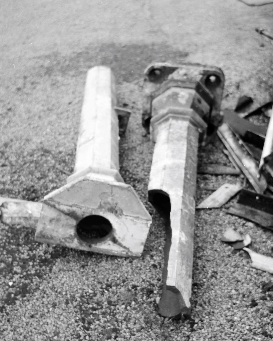
I visited Cheddar Station briefly on 13 March 1965, 18 months after the Cheddar Valley line had been closed to passengers. It was a damp grey day, appropriately so – the station presented a melancholy sight, and so I did not linger. Track-lifting on the northern Cheddar-Yatton section was just starting, following its closure to goods traffic on 1 October the previous year. The splendid train shed roof that covered part of both passenger platforms had been taken down, also in 1964, as it was apparently considered to have become a dangerous structure. A broken cast iron rainwater downpipe that had helped to drain this roof symbolised the end of a useful working life. Informative descriptions of the station with numerous photographs taken in happier days are in ‘Steaming through the Cheddar Valley’ by Derek Phillips (Oxford Publishing, 2001, in particular pages 134-155), and in ‘The East Somerset and Cheddar Valley Railways’ by Richard Harman (Lightmoor Press, 2009, pages 113-122). The dust-jackets of both books include a front-page photo of Cheddar Station in use, with its train shed roof, that in the Philips book being in colour.
1.
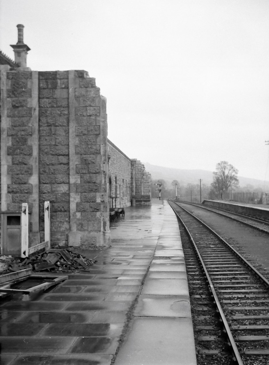
Looking south along the eastern platform, all now open to the sky after removal of the train shed roof. The Mendip Hills are in the distance. Signals remain in place at the end of the platform, although the line between Cheddar and Cranmore was then being worked as a siding, until goods traffic ceased in early 1969 and the track was subsequently lifted. Copyright Michael Bussell.
3.
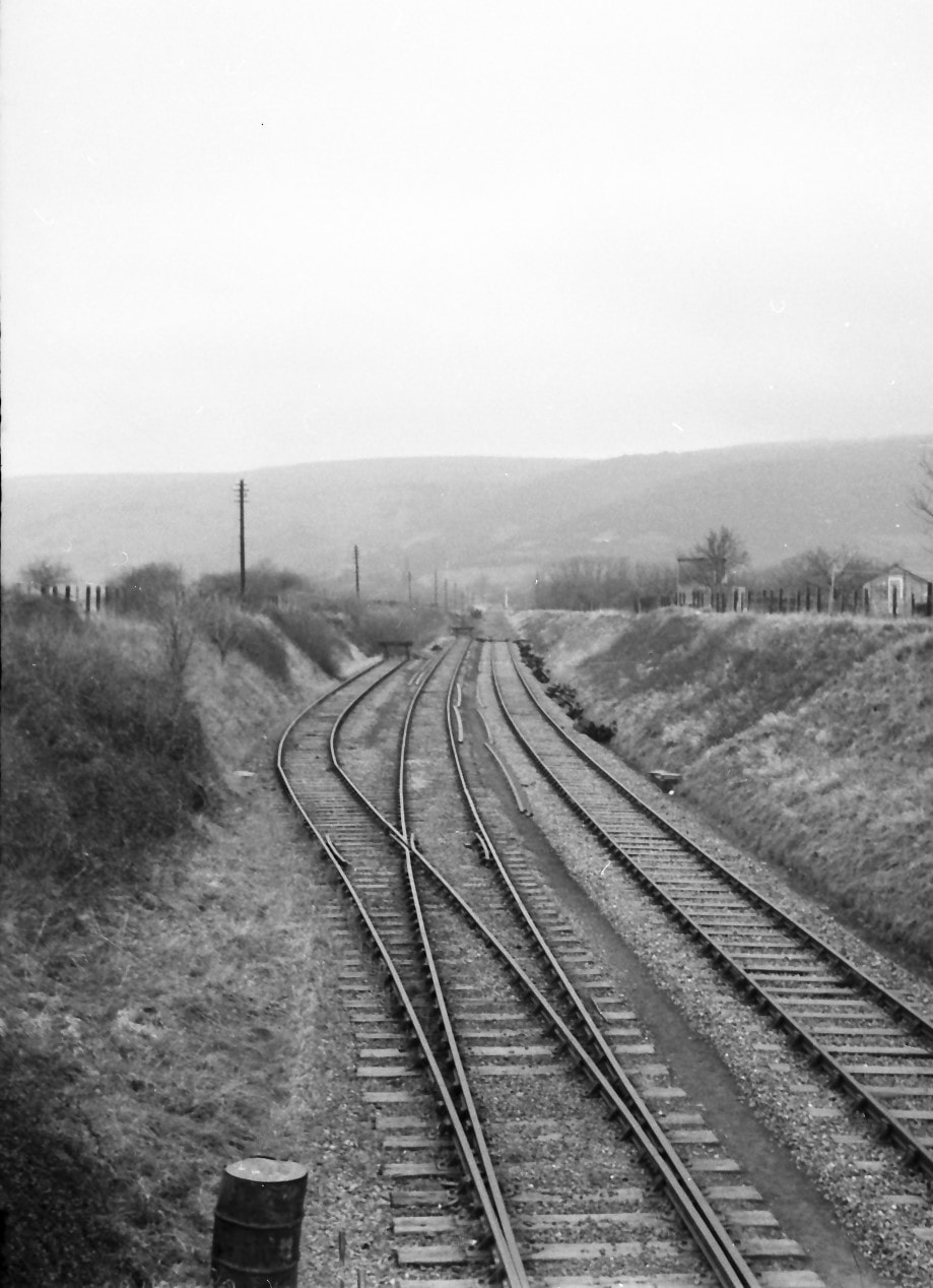
Looking north towards Axbridge from Five Ways road bridge at the northern end of the station. On the left are two sidings. The third track, the erstwhile running line, is to remain in place over the short distance to be seen to the north of the bridge while Cheddar still handles some goods traffic – essentially stone – for a few more years, but beyond this track-lifting has now begun and will continue through to Yatton. Copyright Michael Bussell.
4.
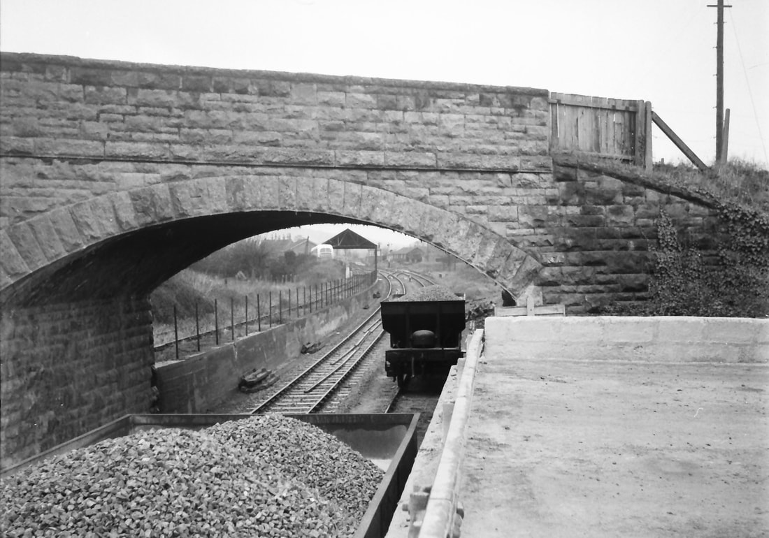
Looking south towards the station area with Five Ways Road bridge in the foreground. To the left is the Callow Rock Lime Company’s siding, which rises from the station on a retaining wall, terminating just beyond the bridge. The company’s fairly basic loading shed is visible beyond the bridge. I had previously assumed that the hopper wagons in my photo contained ballast recovered from the lifted trackbed to the north, but Phillips (page 146) writes that it was practice for stone from two Mendip quarries to be transported to Cheddar by lorry, where it was loaded into rail wagons for onward carriage, as seen in a photo from 1949 on page 147. And Harman has a station plan (pages 116-117) which identifies the platform on the right of my photo as a ‘stone loading dock’ with road access, so this appears the more probable explanation. Copyright Michael Bussell.
Many thanks to Michael Bussell.
Home Counties Railway Society: Mendip Railtour 6/10/63
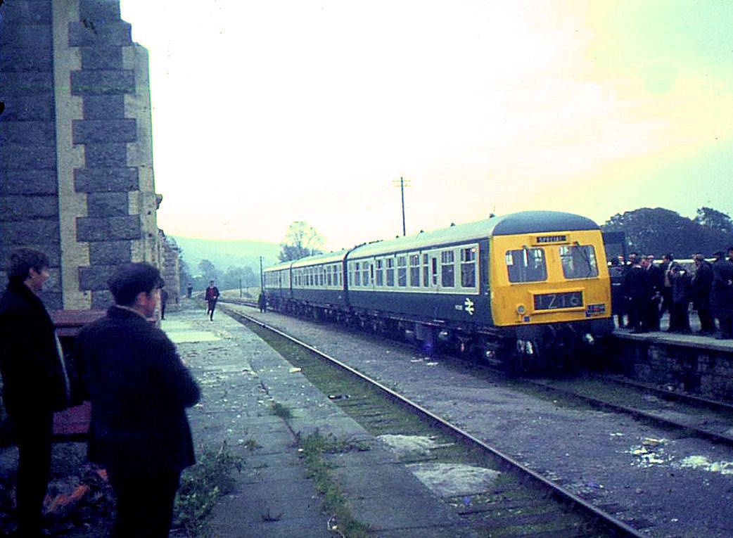
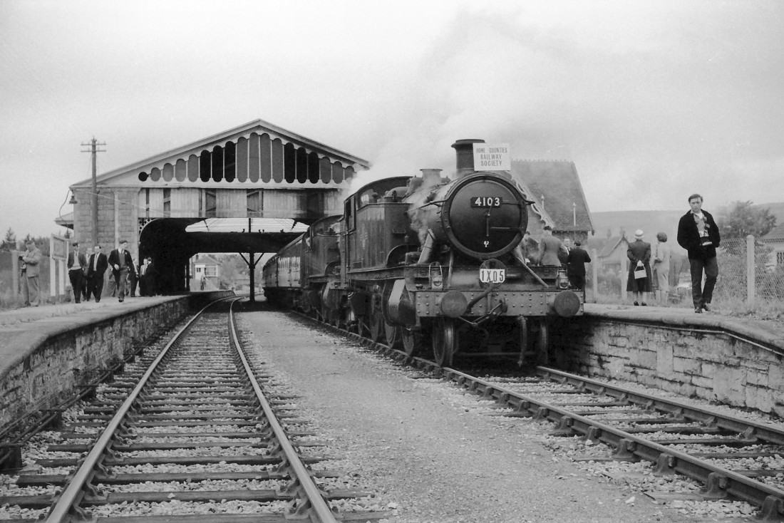
This tour started from Paddington with Stanier 4-6-0 no. 45552 Silver Jubilee as the motive power as far as Bristol, Temple Meads. Former GWR prairie tanks 4103 and 6148, both allocated to 82E Bristol Barrow Road shed at the time, were in charge for the next 3h 45m and took the participants to Westbury with lengthy stops at Yatton, Cheddar where this shot was taken and Wells. The Cheddar valley line had closed to passenger traffic about a month prior to this trip.
[Mike Morant collection]
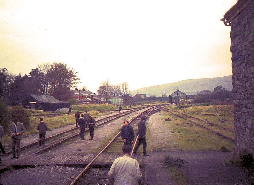
On the 18th November 1968 the Locomotive Club of Great Britain (Bath Branch) ran a railtour to Severn Beach, Portishead and Cheddar. As the section between Cheddar Quarries and Yatton had completely closed our route was via Witham. The quality of pictures is none too good but it is hoped that they serve as a reminder of this branch line. A reduced speed limit was introduced for the railtour which caused problems on our return journey to Witham as there was also a requirement that trains weren't to run on the branch during the hours of darkness!! Common sense prevailed and our speed steadily increased as we headed back towards the main line. At one point we came across a lady out walking her dog along the branch - she was most surprised!!
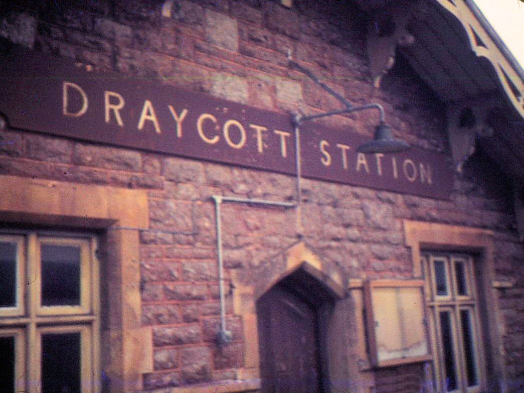
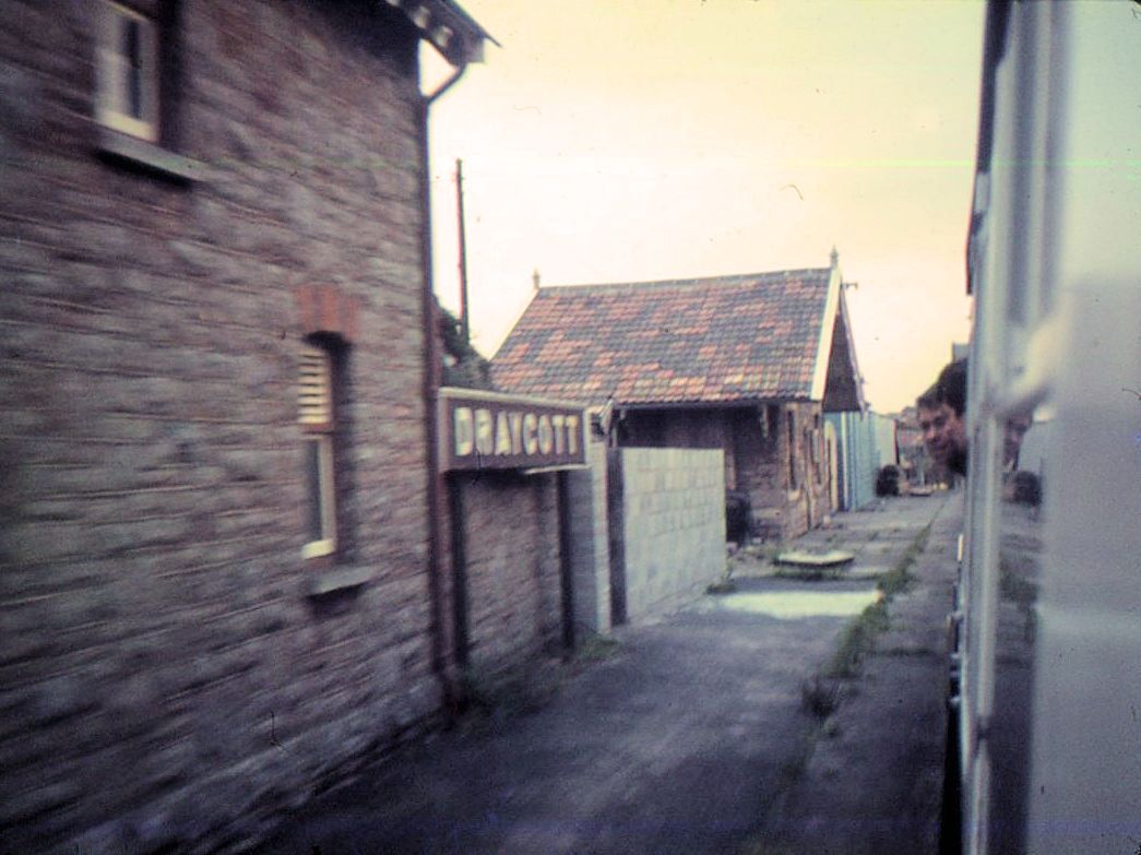
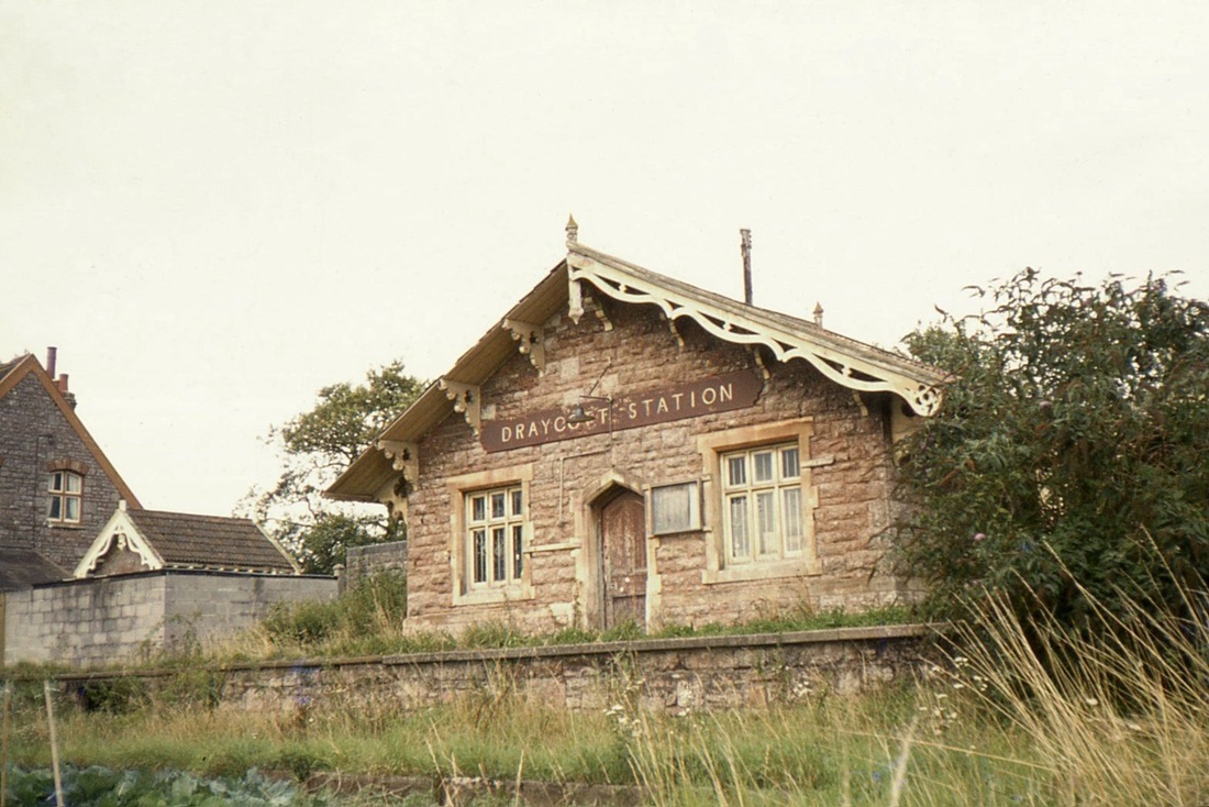
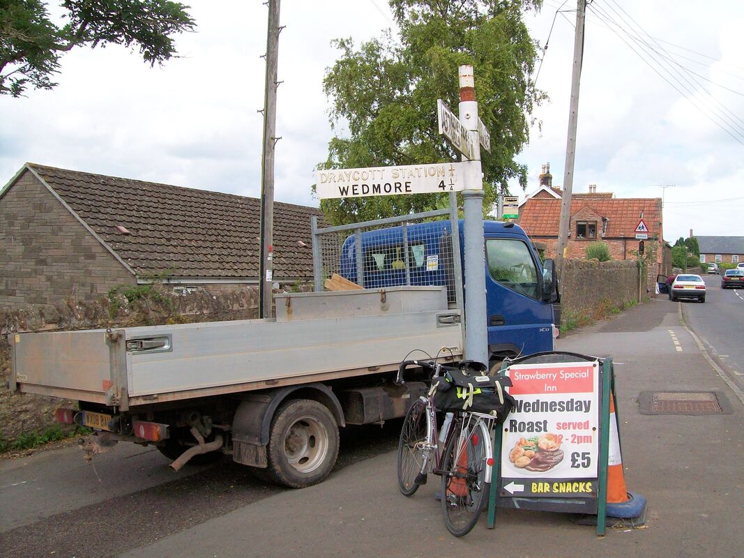
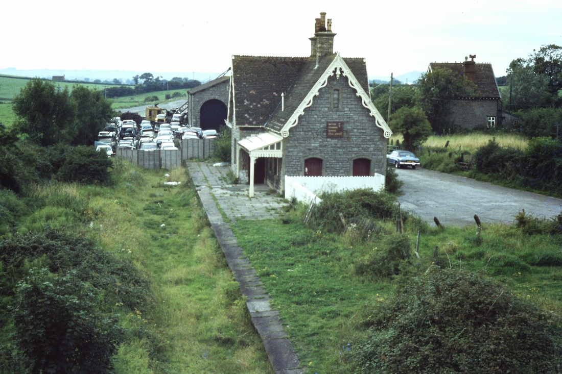
Draycott Twelve miles from Yatton
Lodge Hill Fourteen Miles from Yatton
Wookey Sixteen and a half miles from Yatton
Wells Seventeen and a half miles from Yatton
More pictures of the Wells area are availble in our Branches to Bridgwater and Wells section
A note from Chris Osment (West Country Railway Archives)
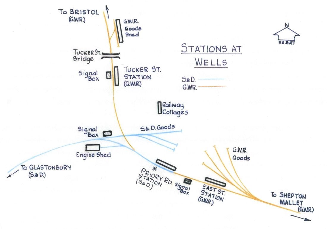
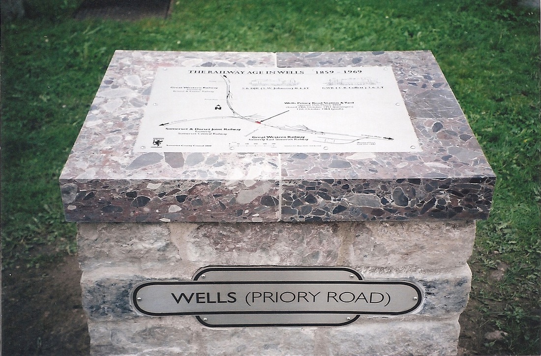
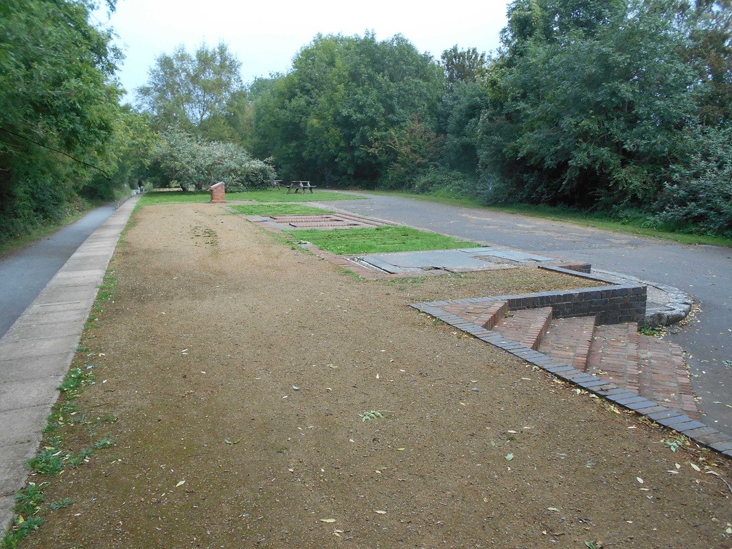
As you may (or may not) know, all three stations at Wells have long since vanished beneath the inevitable relief road. The goods shed at Tucker Street is now the only railway building still in place (and in commercial use), although I suspect there may the odd railway cottage in nearby streets. In 2002 ‘marker plinths’ were erected at the sites of each of the 3 stations and the attached picture shows the one at Priory Road.
Many thanks to Chris Osment for this information and the picture.
Shepton Mallet Twenty two and three quarter miles from Yatton
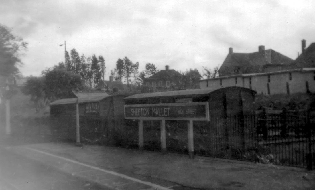
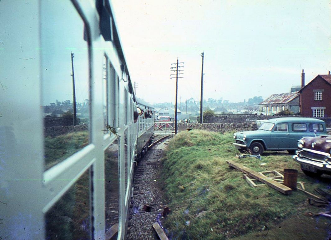
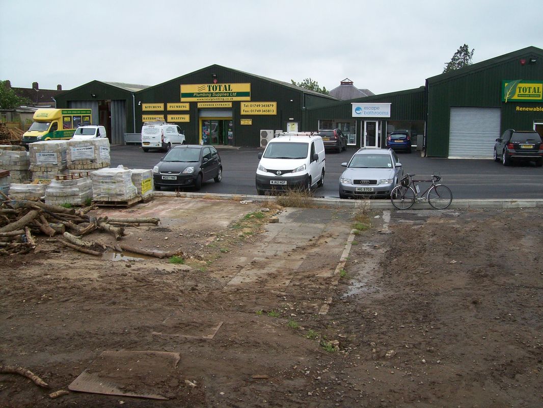
Shepton Mallet High Street on the Yatton to Witham line. A glimpse through the glass of a carriage window taken in 1958 which required quite a lot of editing but still well worthwhile recording. The sign, the goods wagons in the bay. This station closed to passengers on the 9th September 1963 and to goods on the 13th July 1964 Copyright John Thorn.
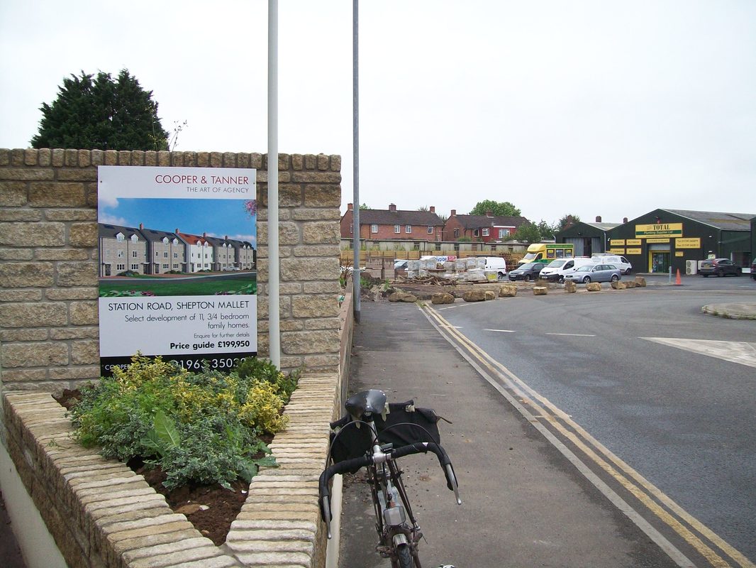
Railway remnants at Shepton mallet in 2015
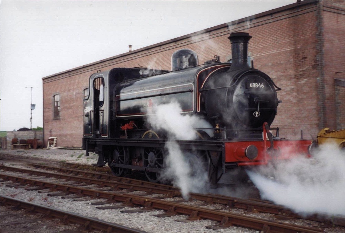
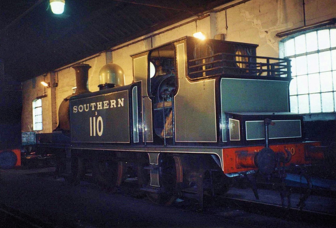
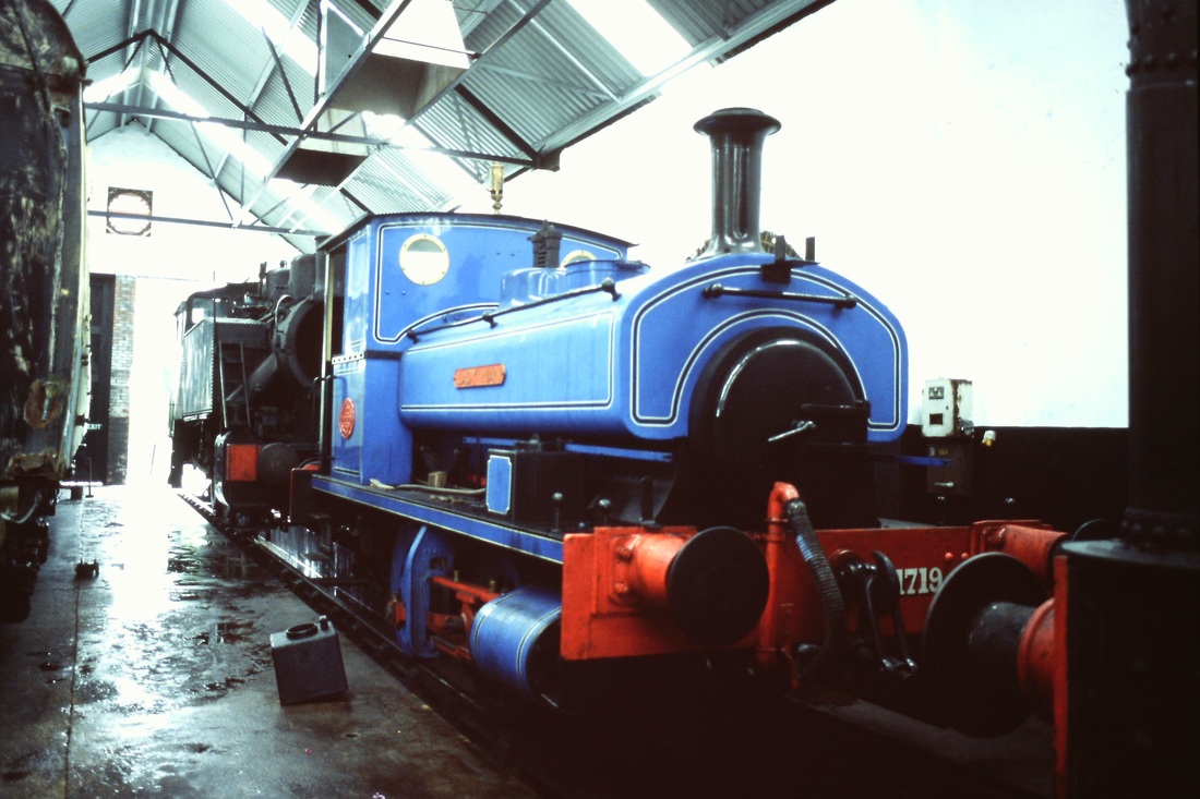
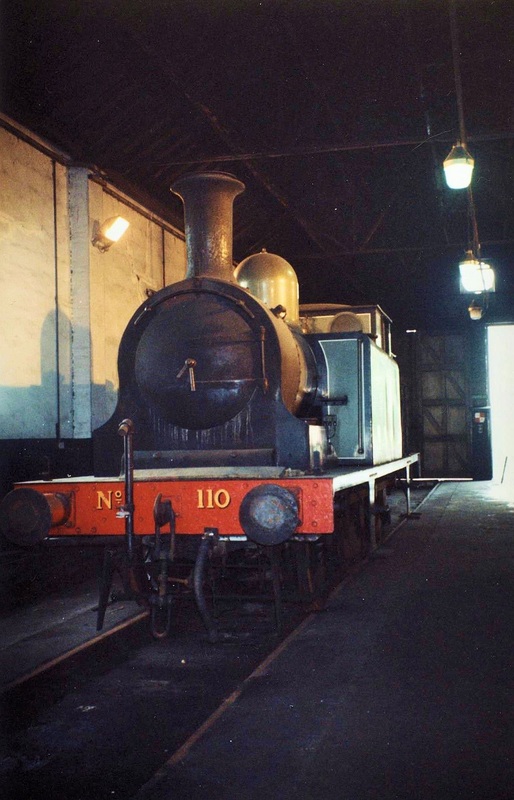
The EAST SOMERSET RAILWAY
From Wikipedia, the free encyclopedia
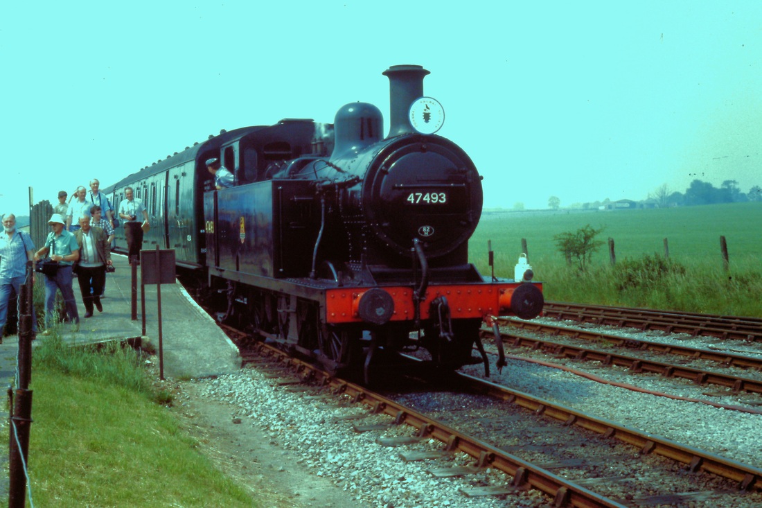
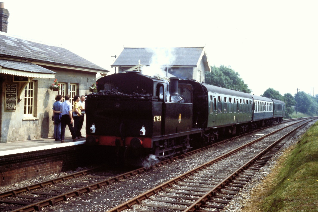
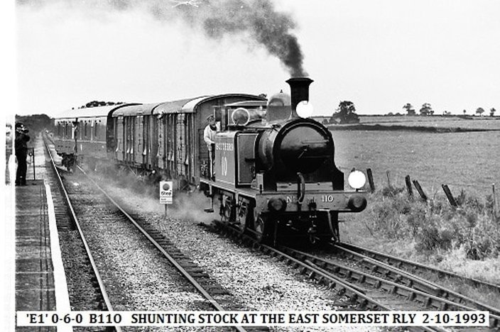
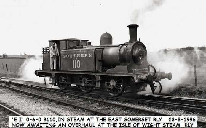
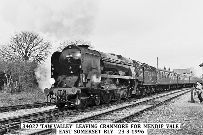
The East Somerset Railway is a 2 1⁄2-mile heritage railway in Somerset running between Cranmore and Mendip Vale. Prior to the Beeching Axe the railway was once part of the formerCheddar Valley line that ran from Witham to Yatton via Wells meeting the Somerset and Dorset Joint Railway at the latter station, in-between.
The East Somerset Railway is a 2 1⁄2-mile heritage railway in Somerset running between Cranmore and Mendip Vale. Prior to the Beeching Axe the railway was once part of the formerCheddar Valley line that ran from Witham to Yatton via Wells meeting the Somerset and Dorset Joint Railway at the latter station, in-between.
Mendip Vale Opened by the East Somerset Railway 23rd June 1985.
The late Evil Knievel, Eddie Kidd OBE is reported to have jumped on his motorcycle a 120 feet (37 m) railway cutting near Shepton Mallet at 90 miles per hour. The Webmaster recalls seeing this on TV when he lived in the area, so it must have been between 1965 and 69. It was almost certainly across this cutting, he was successful and lived to tell the tale.
Merryfield Lane
Merryfield Lane was a temporary platform built near the summit of the line. Operation was extended to this point on the 4th April 1980 though the platform was not completed for another year. The platform was short lived being closed in 1985 on the opening of the extension to Mendip Vale.
We do not have any pictures of Merryfield Lane but try clicking on the following links.
www.eastsomersetrailway.com/page.php?pid=13
https://en.wikipedia.org/wiki/Merryfield_Lane_railway_station
The East Somerset Railway in 2005
John Cornelius
John Cornelius
The East Somerset Railway in 2017
a report by Guy Vincent
a report by Guy Vincent
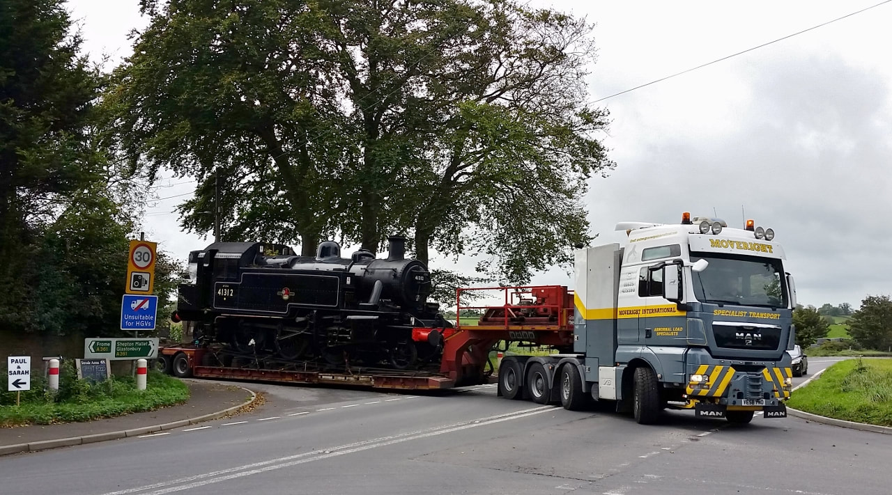
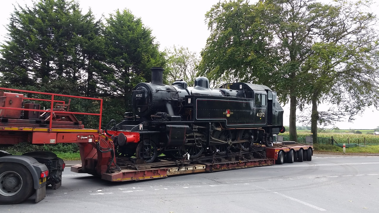
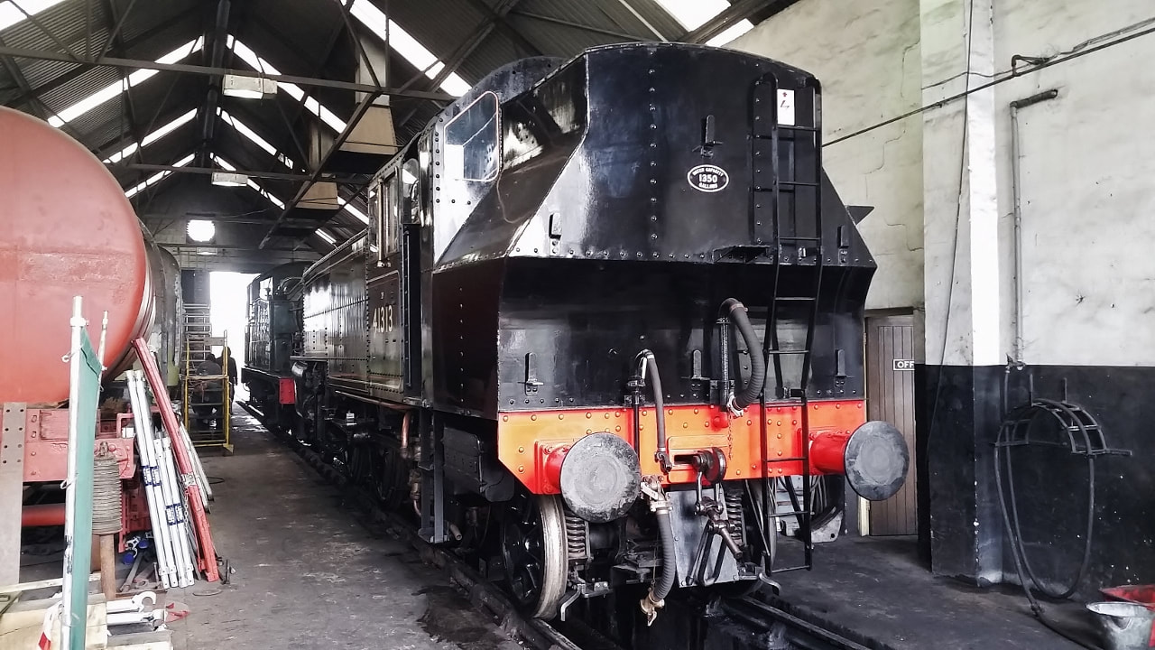
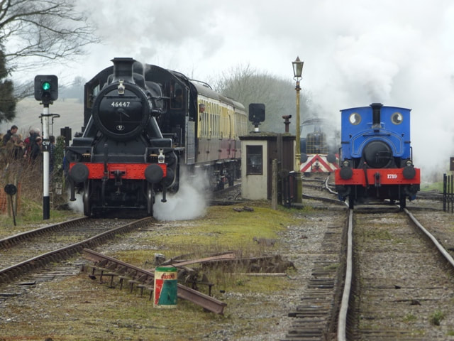
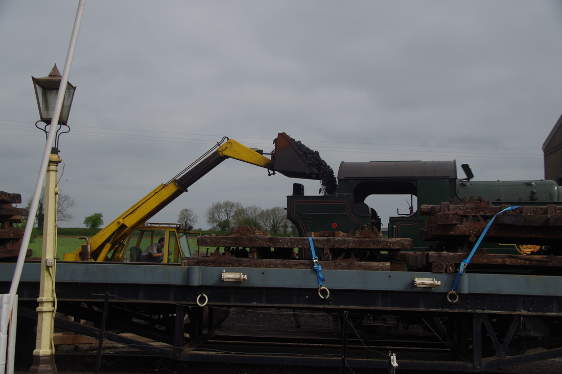
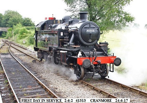
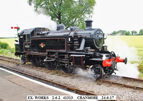
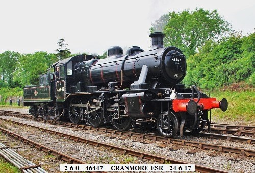
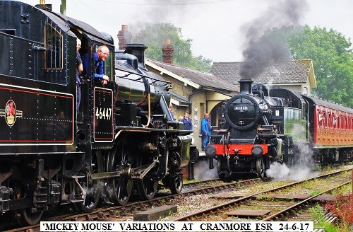
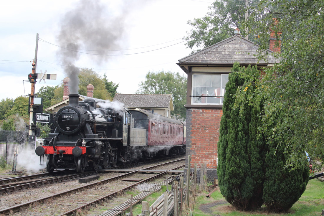
Today (30th September 2017) I paid a visit to our local preserved line, the East Somerset Railway at Cranmore. When I got to the junction of the road leading down to the village and station, which lies just off the A361 east of Shepton Mallet, an abnormal load was seen to be making its way up the narrow lane. This load consisted of BR Ivatt 'Mickey Mouse' Tank Engine No 41312. The 1952 Crewe-built loco was just departing for its home railway, the Mid-Hants following it's appearance alongside newly restored sister 41313 (also Crewe-built in 1952), itself due to depart soon for the Isle of Wight steam railway.
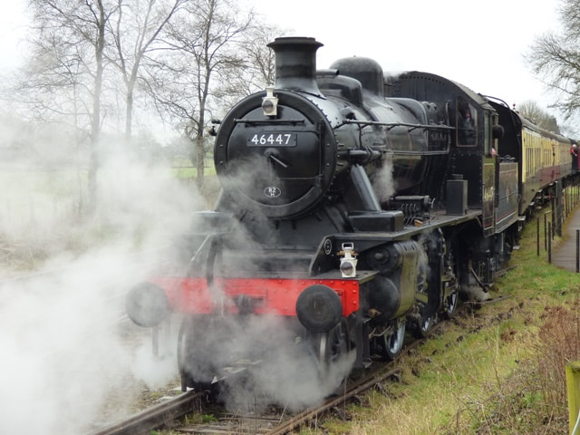
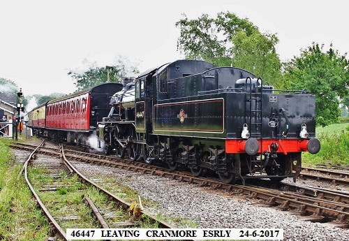
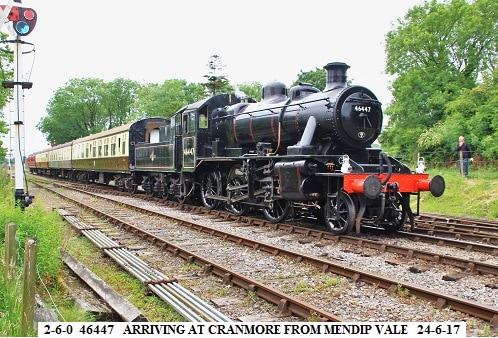
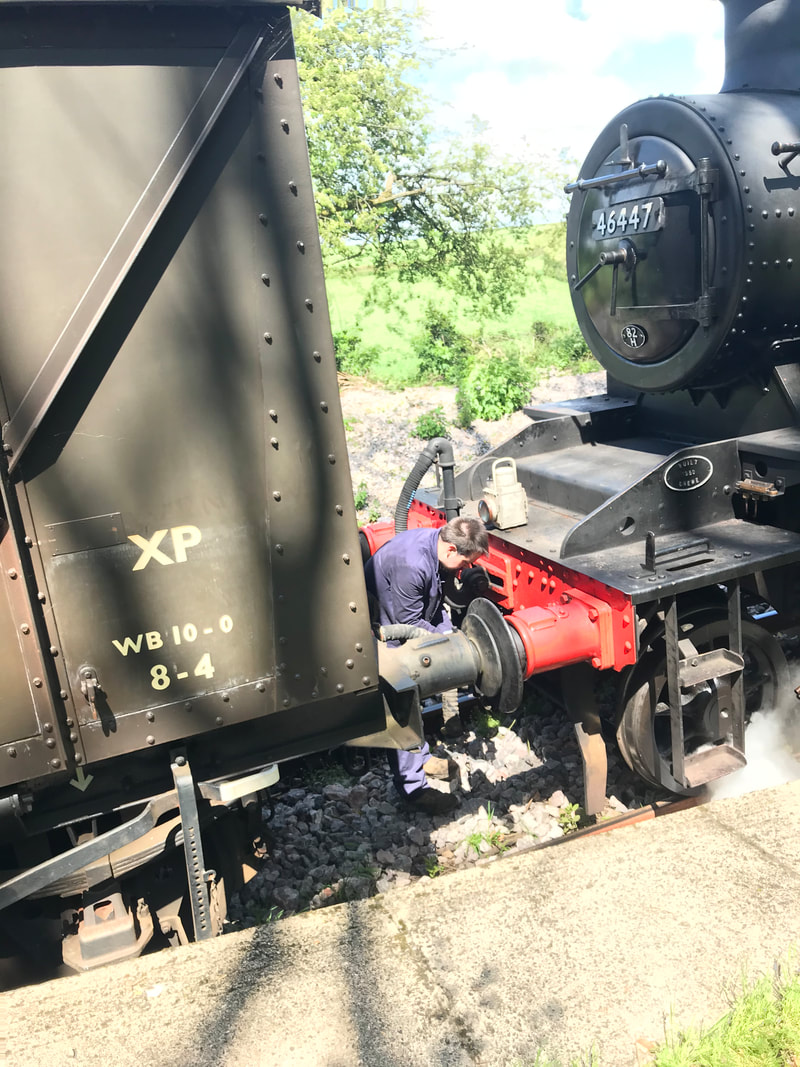
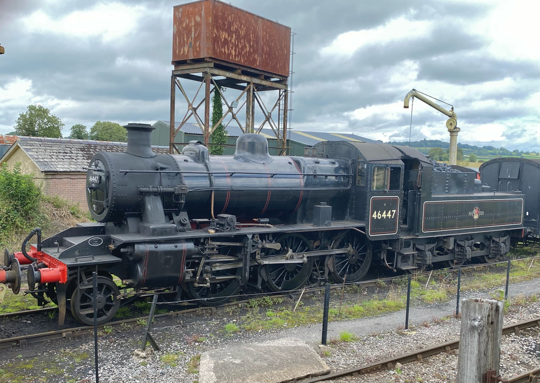
Today's motive power was Ivatt class 2 2-6-0 number 46447, another IoW SR-owned loco but on loan to the ESR for a period of 10 years following restoration here from scrap condition. The loco was built at Crewe in 1950 and withdrawn in 1966, then sold to Woodhams, Barry Dock, South Wales from where it was sold in 1972. It re-entered service in October 2014.
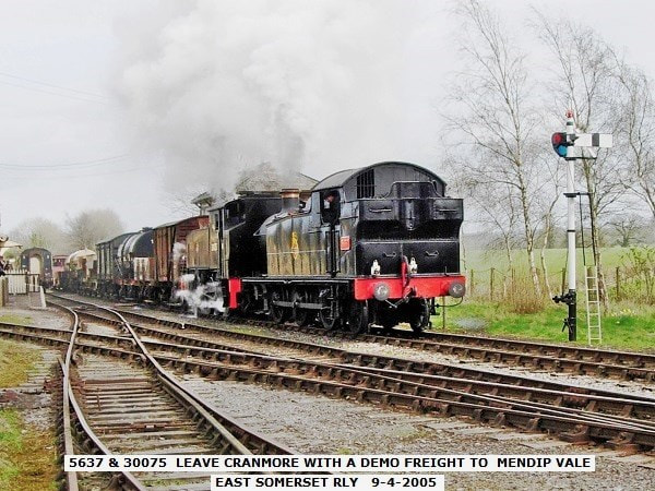
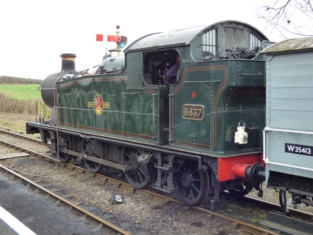
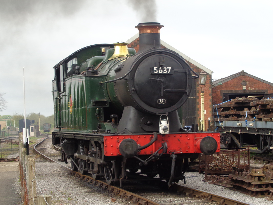
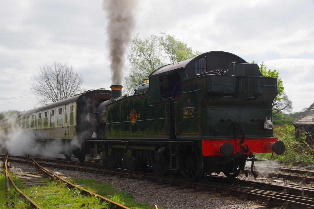
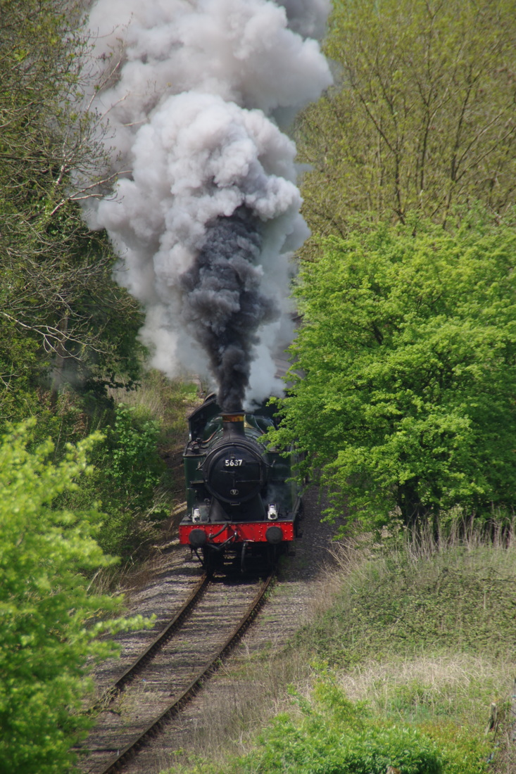
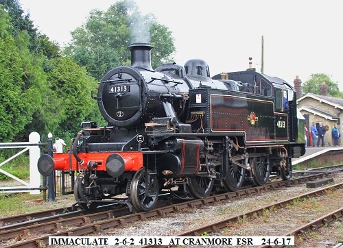
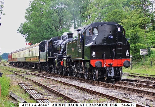
In the shed at Cranmore was BR 41313, imminently due to leave for the I of W following a fast-track restoration that started here in early 2015 and ended with the loco's return to service after a 52 year gap on June 24th 2017. Resident GWR tank engine 5637 which was built at Swindon in 1925 was also present.
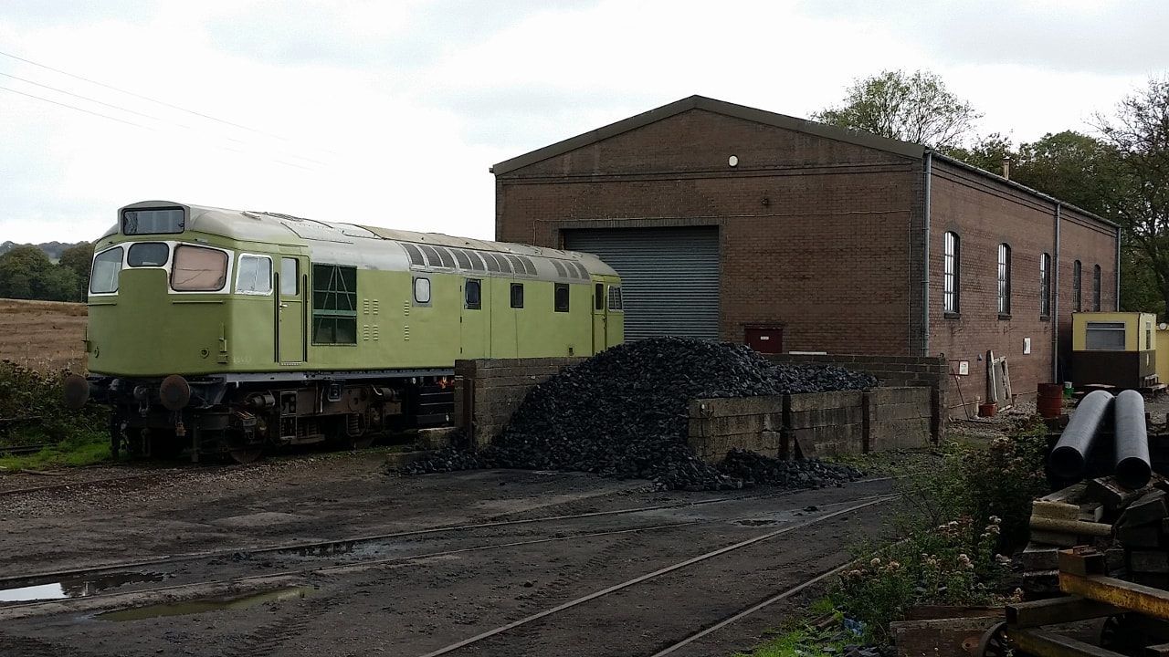
Outside the diesel and carriage maintenance shed was former Scottish 'McCrompton' D5410. Also numbered 27123 27205 and 27059 at different times this loco arrived from Kidderminster (Severn Valley Railway) for restoration in February 2016.
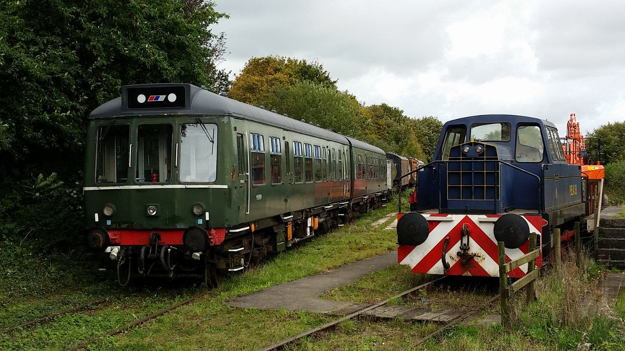
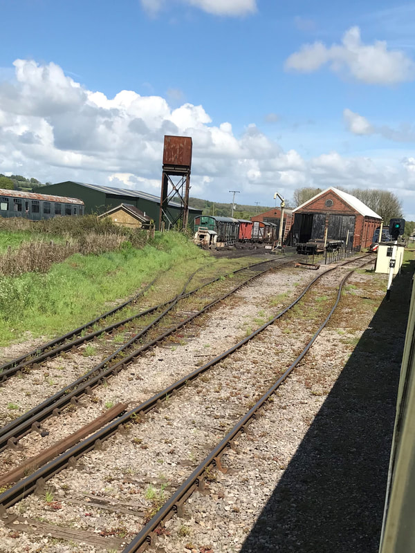
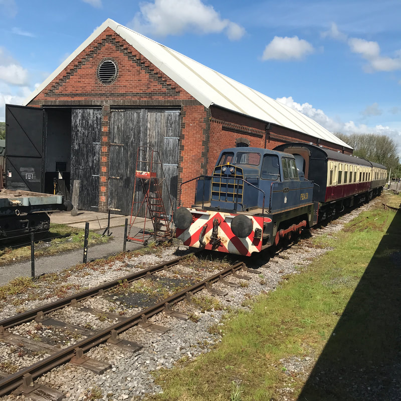
The former Bitumen sidings held first generation DMU cars 51909 and 56271 plus a Sentinel shunter.
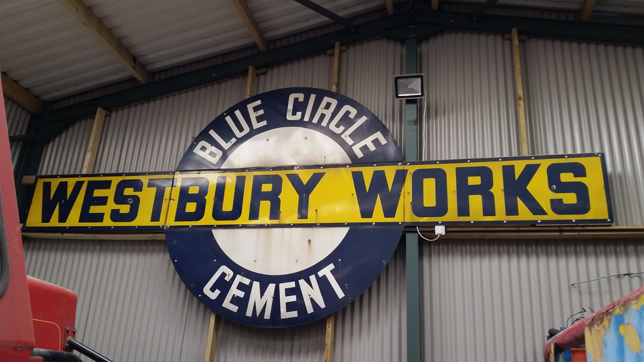
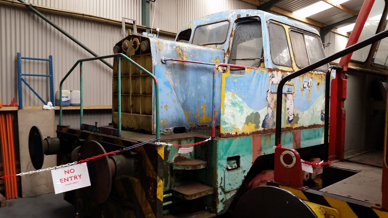
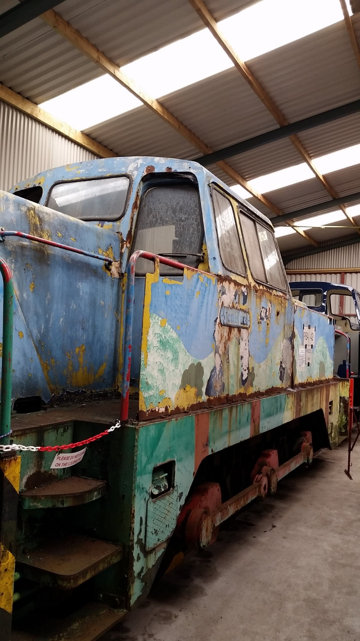
Highlight of the visit for me was the discovery inside the recently built 'Sentinel shed' of a previously unknown large enamel 3 piece sign that apparently stood next to the main west of England line close by Westbury Cement Works during the 1960s. It was found during demolition work at the plant in 2016 and very kindly donated to the ESR by Tarmac Ltd. Also in the shed is a Sentinel shunter (PBA 42) dating from 1965 that itself spent several years at Westbury Cement works and still carries remnants of the Blue Circle livery.
Since my last visit the shop has expanded it's range of local interest books and now includes a quantity of pre-owned volumes too, all reasonably priced and well displayed. Add in a cafe/restaurant, a very interesting collection of relics on display in the former booking office, the period fixtures both on the station and in the yards, and a couple of hours here is indeed time well spent. An enjoyable visit with plenty of interest to see and experience.
Guy Vincent
A detailed account together with much appreciated pictures. Many thanks Guy
The East Somerset Railway in 2018
a report by Roger Aston
a report by Roger Aston
Cranmore Twenty six miles from Yatton
A little about the East Somerset Railway - from Wikipedia
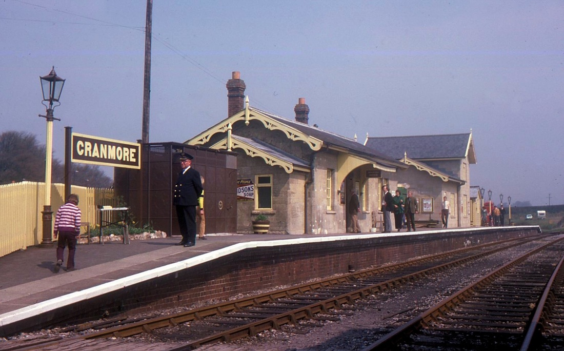
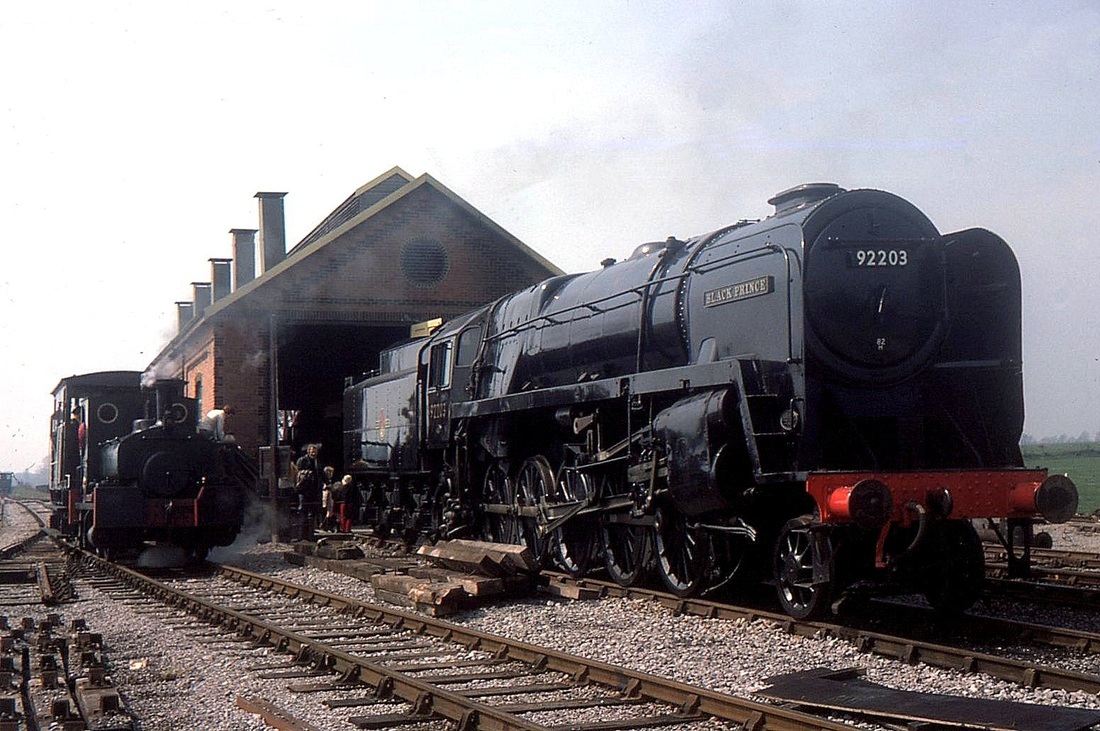
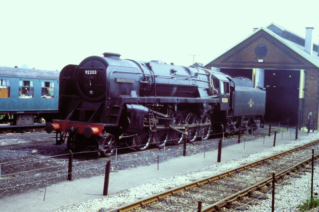
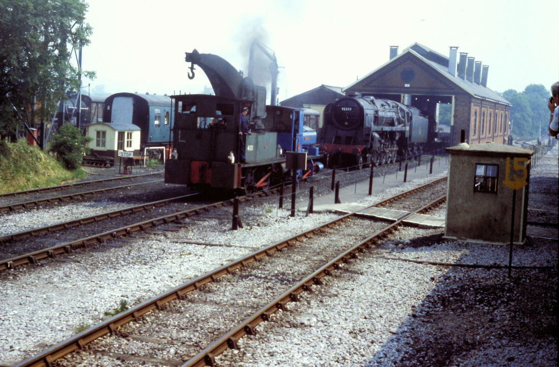
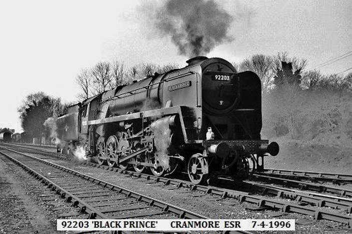
In 1971/72, the artist David Shepherd came across, viewed and later purchased Cranmore station and a section of the track to house and run his two locomotives; the BR 2-10-0 Class 9F No. 92203 Black Prince and and BR standard 4 4-6-2 No. 75029 'The Green Knight'.I n 1973, the line opened offering Brake Van rides before extending first to Merryfield in 1980 and then to Mendip Vale and into Cranmore station itself in 1985.
Today the railway plays host to a variety of preserved diesel and steam locomotives.
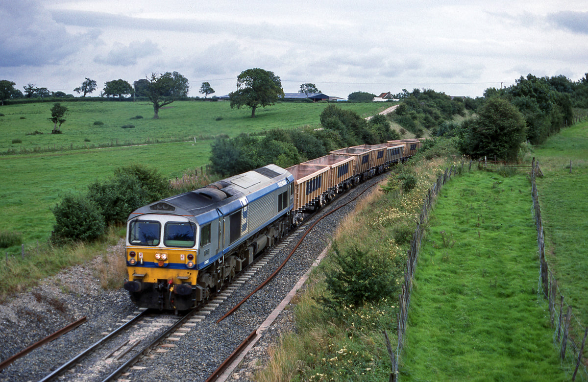
The East Somerset Railway only operates the line betweeen Cranmore, Cranmore West , Merrifield Lane Halt and Mendip Vale. Between the last two sections, the train runs through the Doulting cutting, a site of Special Scientific Interest.The section between Cranmore and the main line at Witham is used for heavy quarry traffic to the nearby Merehead Quarry.
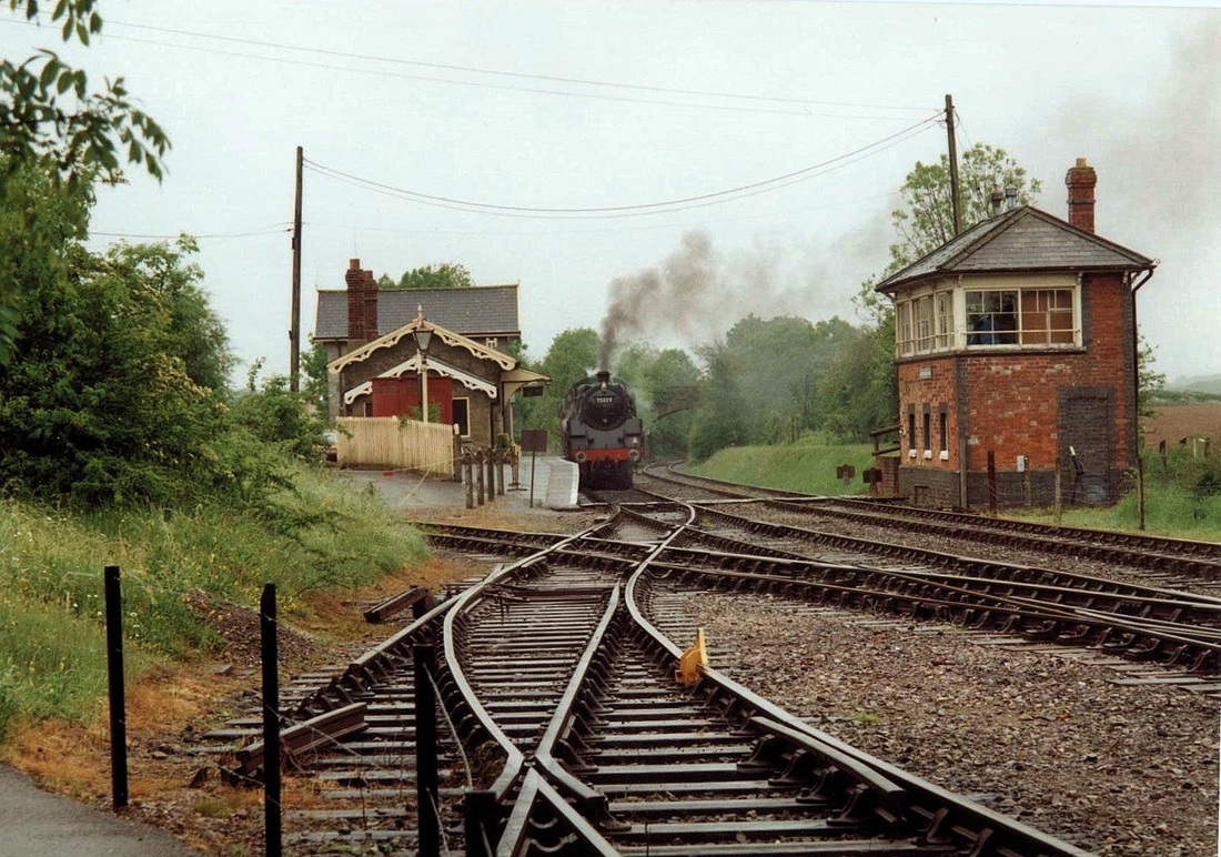
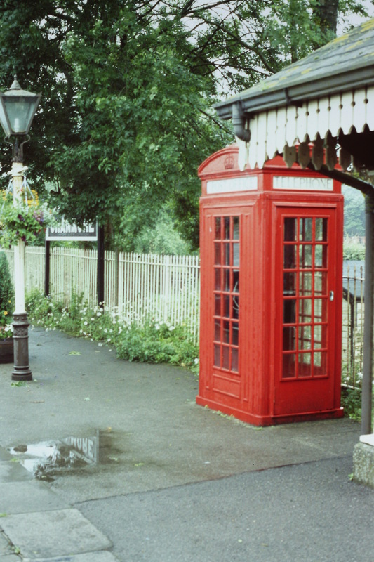
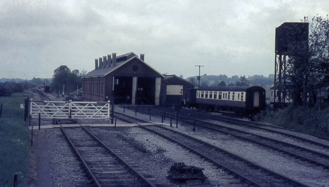
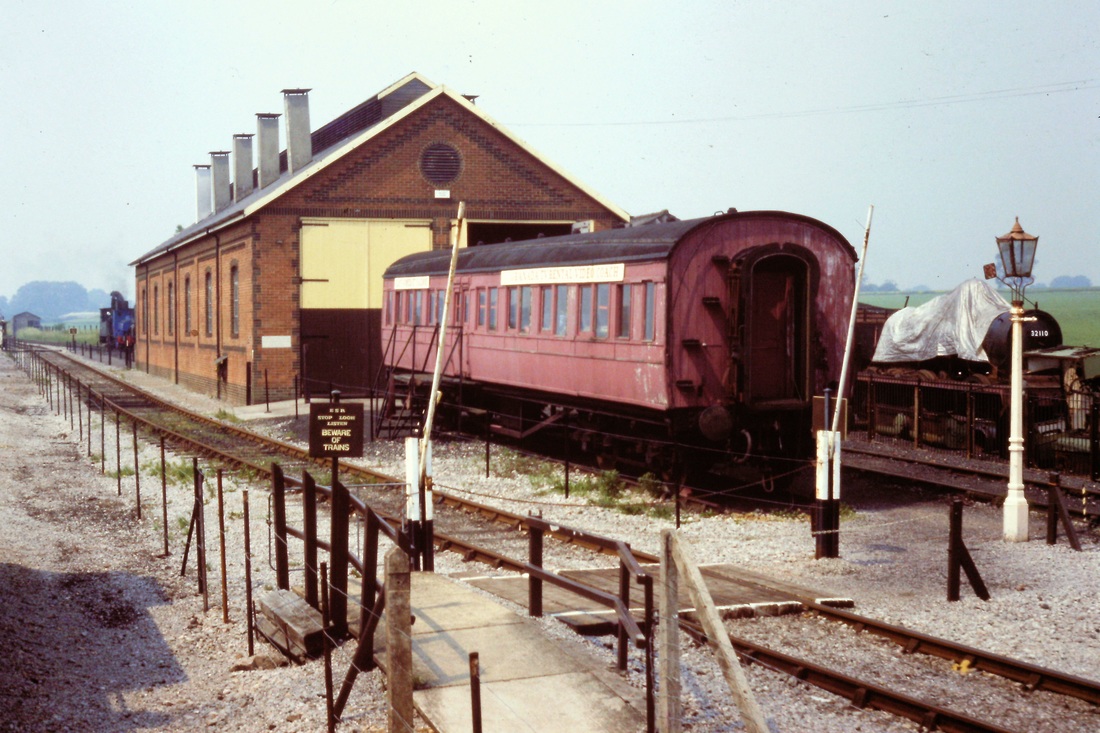
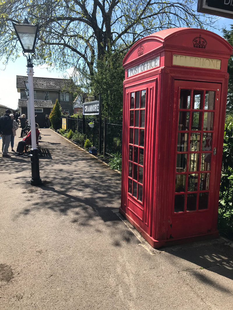
In 1991, a new station building was constructed at Cranmore which now includes a cafe, booking office, gift shop and toilets. The platform then extends to the old station which is now a museum. On the platform is an old red telephone box which incorporates a stamp machine and post box. It was made around 1927 and is one of only 50 made to that design. Opposite the platform is a signalbox dating from 1904 and is the standard GWR pattern of the period. Close to Cranmore station are the engine sheds and workshop (known together as Cranmore Shed) which were built in 1973, (during the preserved line's restoration at the time).
The map above courtesy Google Maps Please use the pan and + & - buttons to explore recent track plans along the length of the East Somerset Railway. At Cranmore the Bitumen sidings were above the 'East Somerset Railway' label.
Cranmore, East Somerset Days - the station area, passenger trains.
Cranmore East Somerset Railway - a look around the shed and yards.
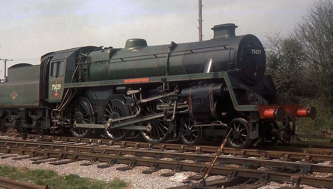
Cranmore East Somerset Railway 75029 Green Knight 75029 was built in May 1954 and spent the first few months at 83D Laira Shed. These and the other British Railways Standard Classes were not popular with Laira enginemen who much preferred the ex-Great Western classes. April 1976 Copyright Mike Roach
Fortunately the Cranmore to Witham Junction section still survives providing a link not only between the East Somerset Railway and the main network but also providing an outlet for the many stone trains from Merehead Quarry. For pictures of Merehead Quarry Depot and locomotives click here.
Recent pictures of the East Somerset Railway at Cranmore brought to us by Roger Aston.
John Cornelius visits
The East Somerset Railway on the 24th June 2017
The East Somerset Railway on the 24th June 2017
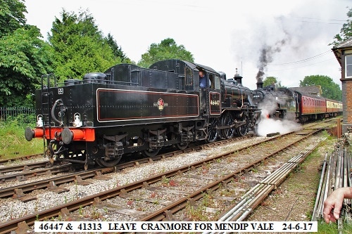
Hi Keith, Here are a few pics I took at Cranmore on the East Somerset Rly today with the relaunch to service following overhaul of 2-6-2 41313. It looked immaculate. Also 2-6-0 46447 was in steam to accompany it and during the day they single headed and double headed trains, with the last one of the day being top and tailed.A goodly number of enthusiasts attended despite the Glastonbury pop festival taking place about five miles away and we could hear the music at Worthy thumping away. But our interest was definitely with the locos.
A very enjoyable day. cheers JOHN C. Many thanks John
A very enjoyable day. cheers JOHN C. Many thanks John
Cranmore arrival - a report by Guy Vincent (Received 19th January 2020).
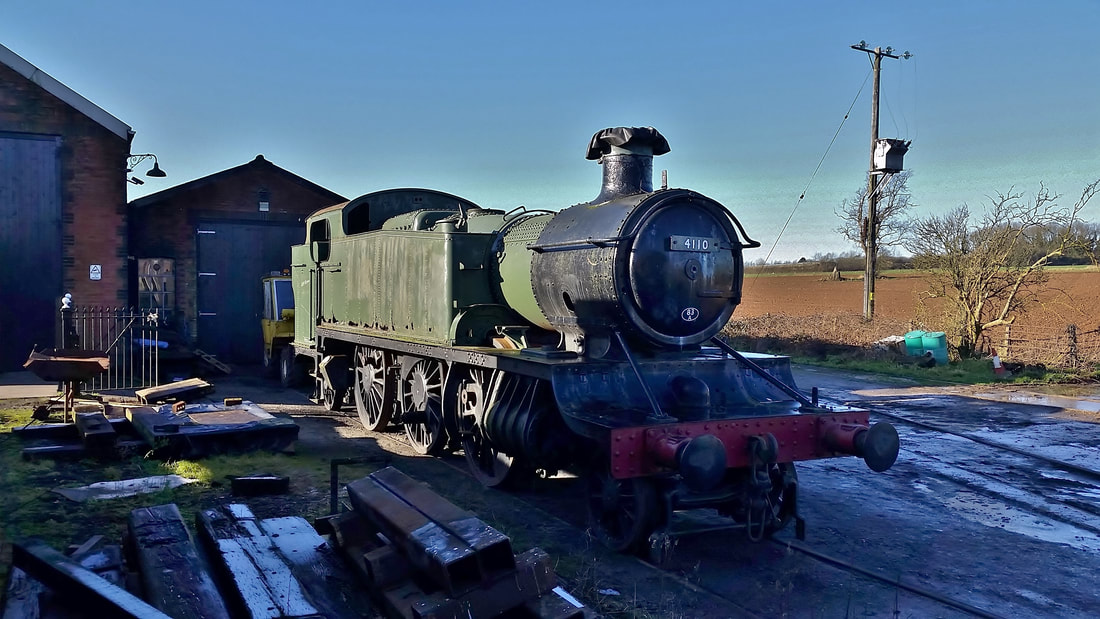
Recently arrived at Cranmore for restoration to working order is GWR 2-6-2 'Large Prarie' tank engine no 4110, a member of the '5101' class and built at Swindon in October1936. The loco spent a short period (July 1962-May 1963) based at Taunton and was withdrawn from Severn Tunnel Junction shed in June 1965. The same month it was sent to Woodham Brothers scrapyard at Barry, South Wales from where it was purchased for preservation, becoming the 100th loco to leave the yard in 1979. Since then it has had several owners and has been based at Southall, Tyseley, Minehead and latterly Kingswear. The loco recently arrived at Cranmore where it is to be fully restored and will then spend 3 years working on the East Somerset Railway. Attached are two photos of 4110, the first taken at Kingswear in October 2019 and the second at Cranmore. There is no doubt that once restored the loco will be in virtually 'as new' condition as the team at Cranmore have a proven track record in producing high quality work. Currently undergoing repairs there for the Dartmouth Steam Railway is '5205' Class Collett 2-8-0T no 5239 'Goliath' and prior to that the ESR rebuilt LMS Ivatt 2-6-2T no 41313 from scrap condition to ex-works in just two years.
Regards, Guy Vincent. Many thanks Guy for your pictures and of course detailed notes..
The East Somerset Railway -
a visit by Adrian King.
29th May 2021.
a visit by Adrian King.
29th May 2021.
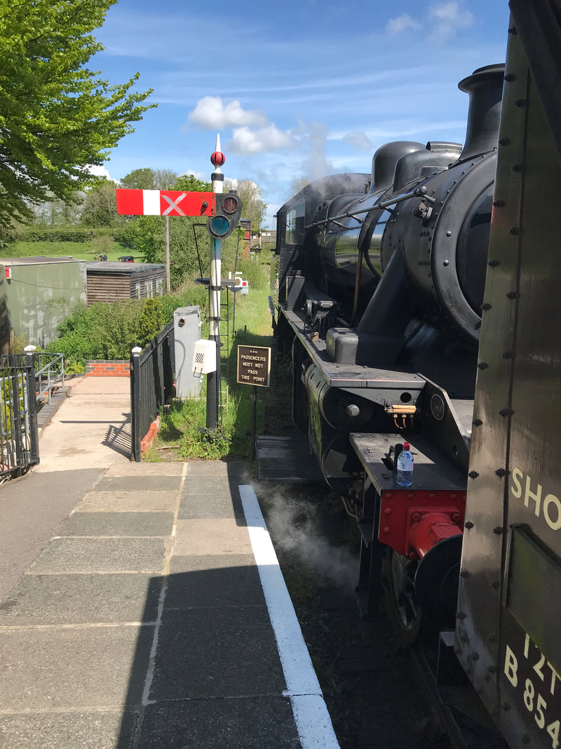
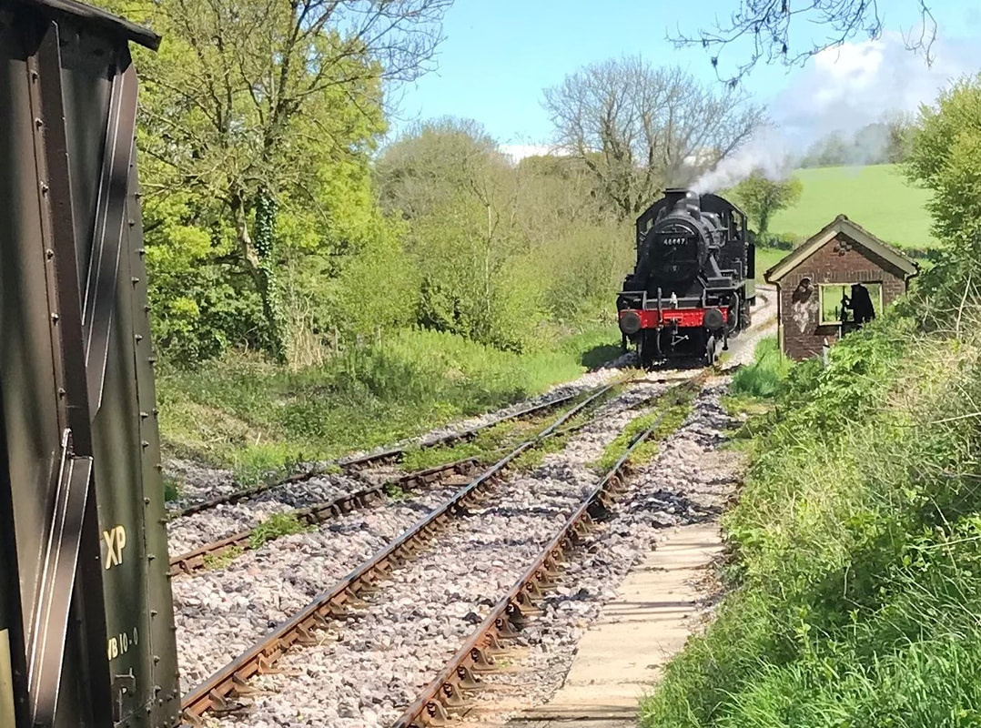
- Please find enclosed a few photographs which I hope you can use on the website of the East Somerset Railway Centre at Cranmore which I took last Saturday the 22nd May. I've attached several more shots than usual and perhaps you can pick out which to use.
46447128 Ivatt locomotives were built between 1946 and 1953, with Ivatt Class 2 2-6-0 46447 built at Crewe in 1950.
46447 was first allocated to the Crewe North shed and worked in and around the north of England and Wales.
In December 1966, 46447 was withdrawn from service and sold to Woodham Brothers for scrap. On 7th June 1972, 46447 was purchased by the Ivatt Locomotive Trust and moved to Quainton Road, Buckinghamshire. Restoration was started but the Ivatt Locomotive Trust subsequently decided that 46447's future was to be at the Isle of Wight Steam Railway and she was transferred to Havenstreet during October 2008.
After initial conservation, work was halted on 46447 and she was stored pending restoration as a static exhibit. In 2012, a deal was made between the Isle of Wight Railway and the East Somerset Railway for 46447 to move to the East Somerset Railway, with an agreement that it was restored to running order.
46447 underwent a complete overhaul and returned to service on the 26th October 2014 (her first day of passenger service since 1966), which was a break of 48 years.
Well done to you and well done to the East Somerset Railway who despite Covid 19 have put on a good show.
Martin Scane visits the East Somerset Railway
- 11th August 2021.
We are just starting to get around and about today and, having visited relatives in Wiltshire, we popped into the East Somerset Railway today for a train ride and a cream tea. Here are a few photos which you are free to use if you want . Cheers Martin
- 11th August 2021.
We are just starting to get around and about today and, having visited relatives in Wiltshire, we popped into the East Somerset Railway today for a train ride and a cream tea. Here are a few photos which you are free to use if you want . Cheers Martin
Many thanks Martin.
Chris Osment visits the East Somerset Railway
- 11th August 2021.
- 11th August 2021.
I too was at the ESR yesterday! I wonder if Martin and I unknowingly passed each other?
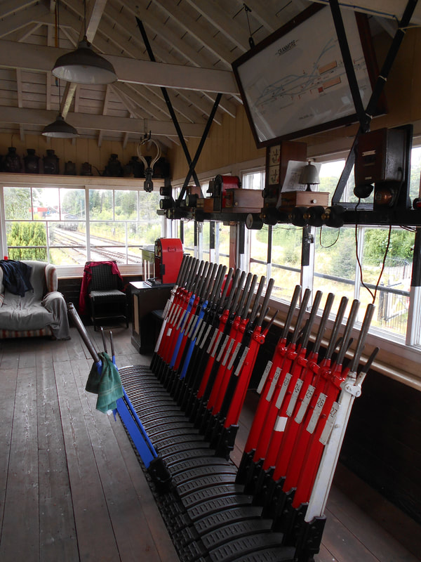
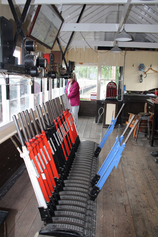
Not surprisingly, I paid a visit to the signal-box which is being fitted-out for future use, but at the moment is open to the public simply as an ‘exhibit’. The lever-frame came from Coombe Junction and is in the process of being extended by another 5 levers.
Regards, Chris
Not surprisingly, I paid a visit to the signal-box which is being fitted-out for future use, but at the moment is open to the public simply as an ‘exhibit’. The lever-frame came from Coombe Junction and is in the process of being extended by another 5 levers.
Regards, Chris
Many thanks Chris - very interesting about the frames former use.
The East Somerset Railway in 2022
Part 1
a report by Guy & Cathy Vincent
Part 1
a report by Guy & Cathy Vincent
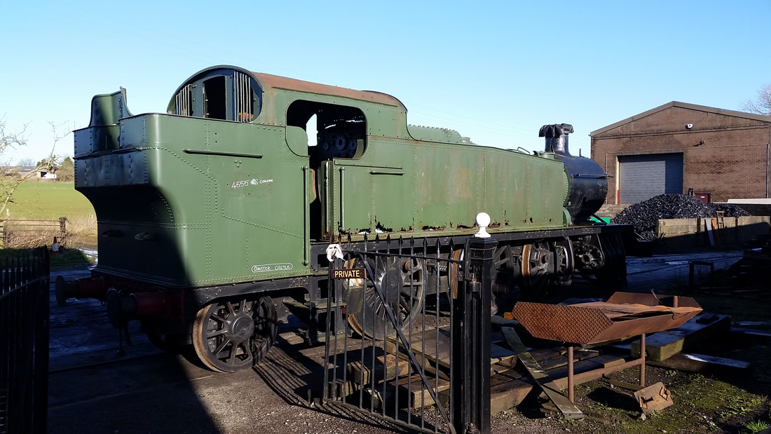
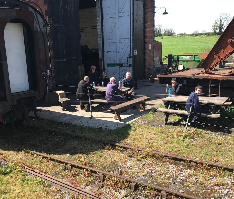
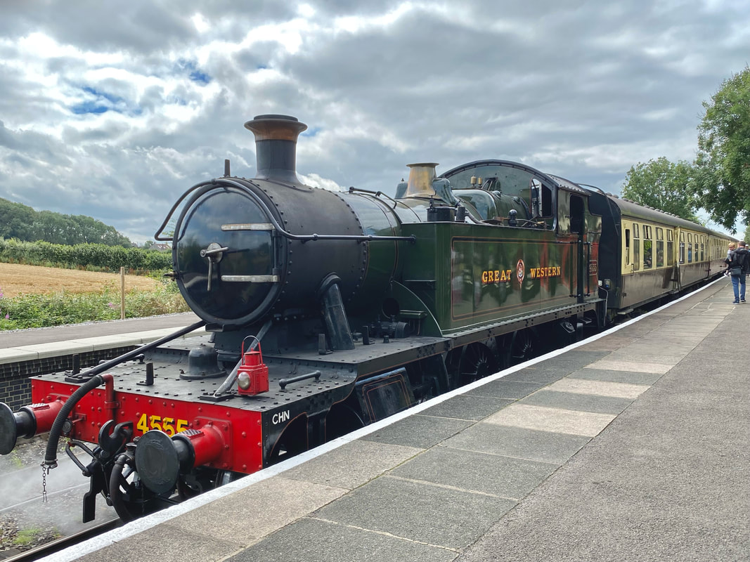
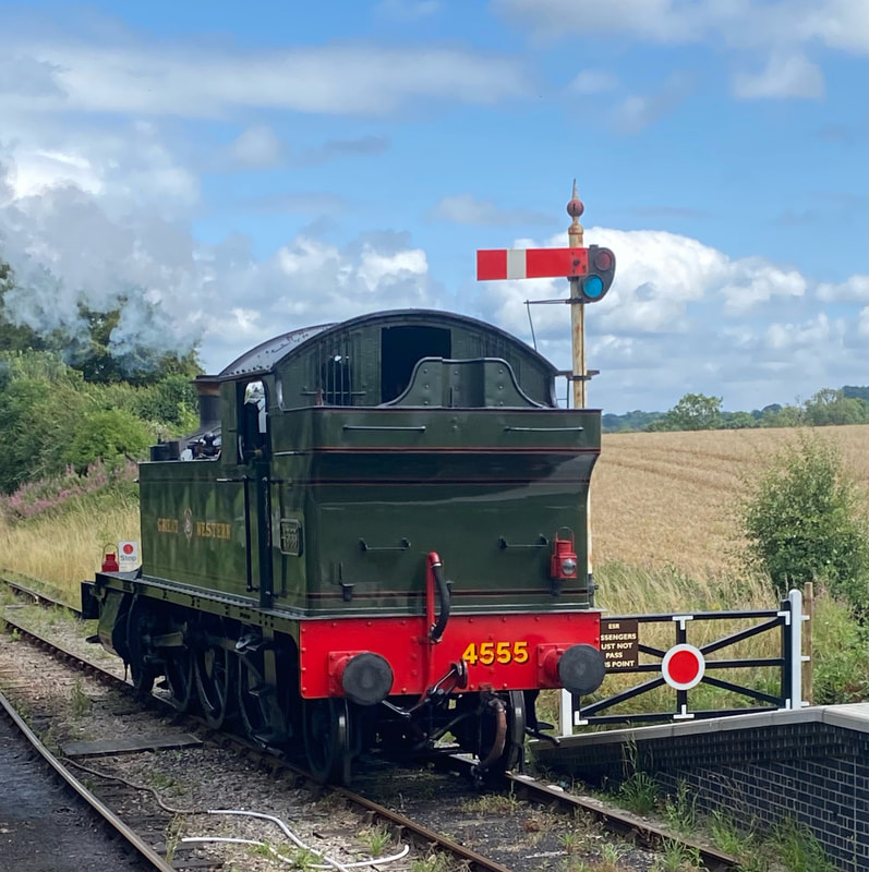
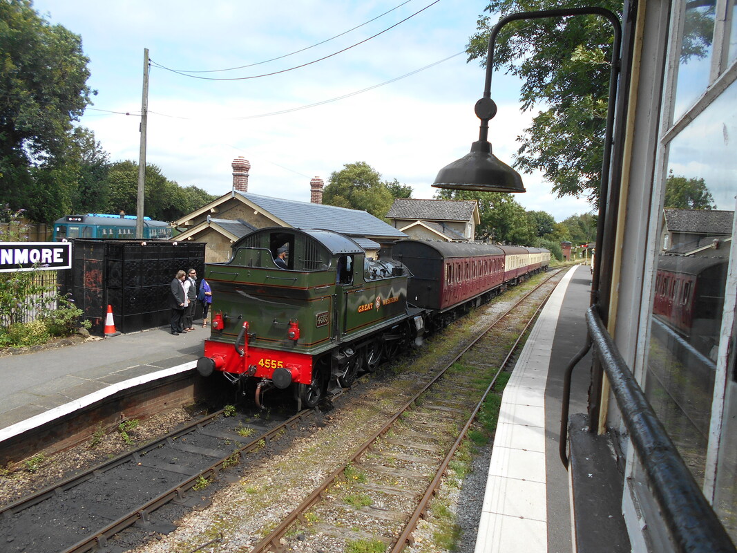
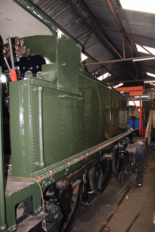
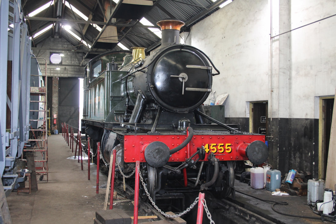
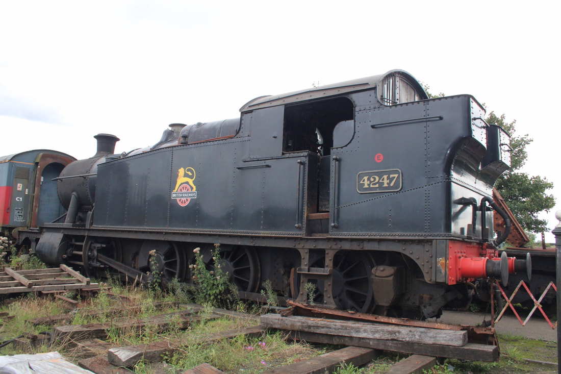
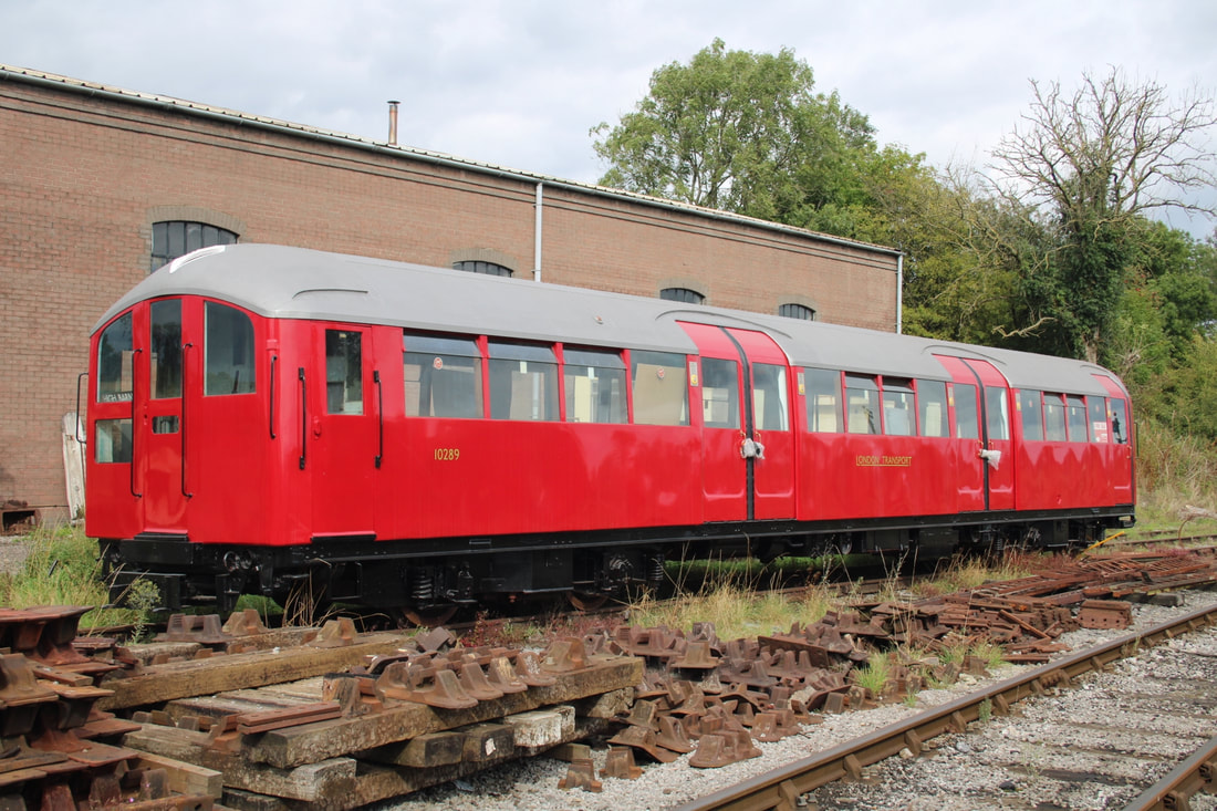
This weekend we made one of our occasional visits to the East Somerset Railway at Cranmore, availing ourselves of a ride down to Mendip Vale and back behind BR Standard 46447, the first time we had done this for some years. There were three former Great Western steam locos 'on shed' 4110, 4247 and 4555. 4110 is making excellent progress as its restoration continues, and 4555 looked for all the world as if it was standing between duties in the corner of a genuine GWR steam shed, very atmospheric indeed. In this age of 'elf 'n safety' it is a privilege to be able to walk through the shed and soak up the atmosphere of days long gone, you can stand and watch work being carried out in the main workshop from a small viewing area which has details of what is taking place and of other projects that have been completed there. Outside we found a recently restored former Isle of Wight class 483 vehicle in original 1938 London Transport livery, quite different from the Network South East red, white and blue colours applied when it was refurbished and sent across the Solent back in 1988.
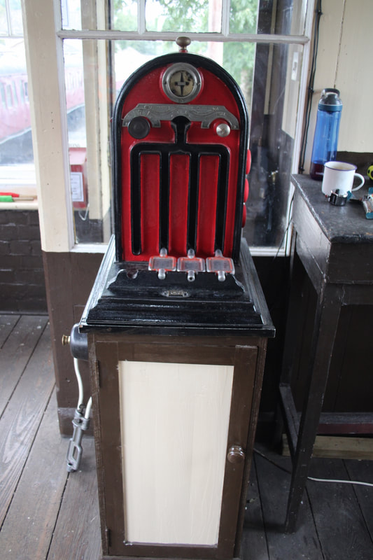
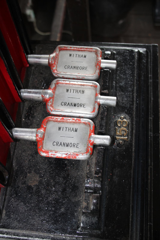
Things appear to be on the 'up' at Cranmore as we found a large number of secondhand railway books and publications to browse through, most at very reasonable prices, some of these are in a former WH Smith newsagents kiosk and bookstall that was moved to Cranmore from Salisbury station. There is also a very interesting collection of artefacts and relics in a museum that has been set up in the station building. The signal box is now seeing limited use as a control point for daily operations and work is ongoing to get the signalling and pointwork into use. The 'box retains the original token machine and some tokens that were in use up to the abolition of Witham Signal Box (at what is now known as East Somerset Junction) in 1984.
Best regards. Guy Vincent.
The East Somerset Railway in 2022
Part 2 - the signalbox
a report by Guy & Cathy Vincent
Part 2 - the signalbox
a report by Guy & Cathy Vincent
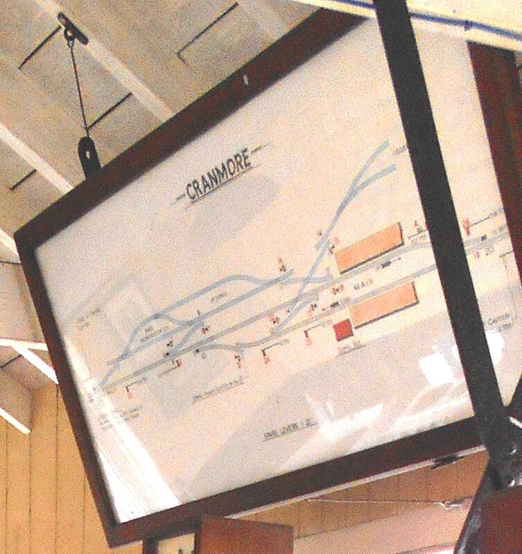
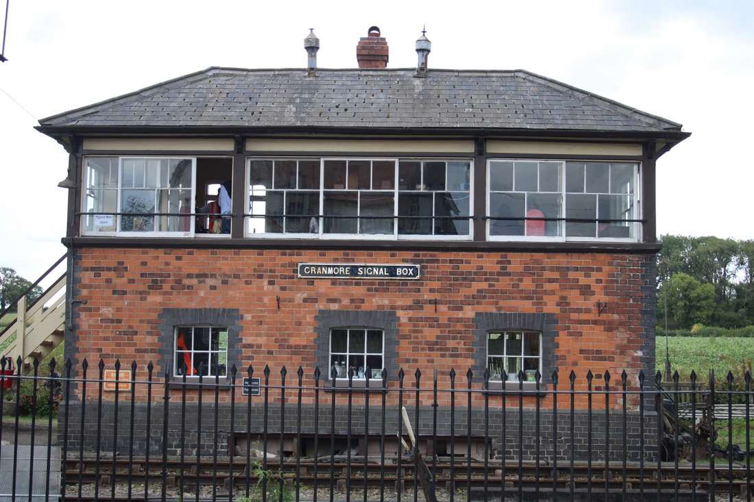
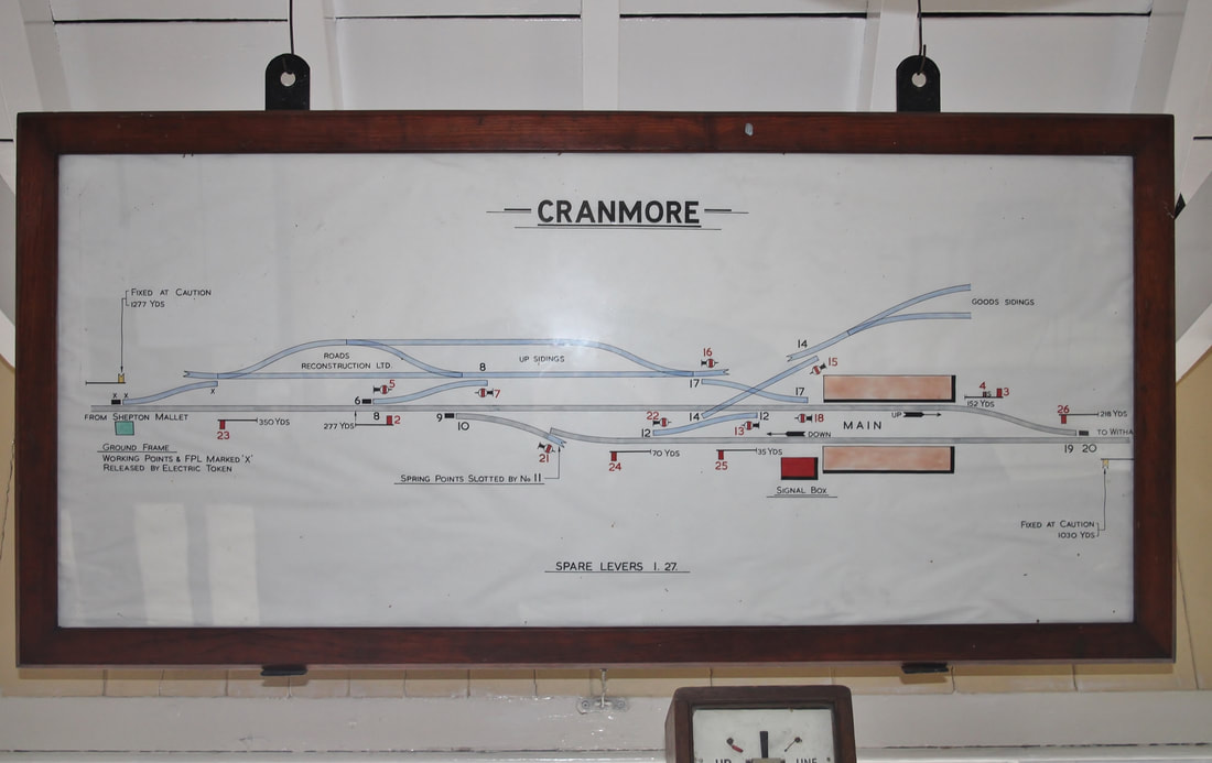
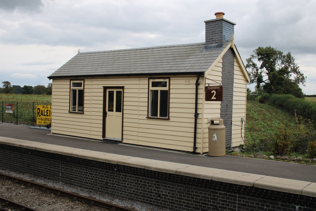
Some photos of the signal box at Cranmore (including the original BR diagram) and of the new platform 2 shelter, all taken on 25th September 2022.
With regards, Guy Vincent
With regards, Guy Vincent
Many thanks to Guy for his extensive coverage of the scene in 2022.
Wanstrow Twenty nine and a half miles from Yatton
There are excellent pictures of Wanstrow in 'Branch Line to Cheddar' by Middleton Press
There are excellent pictures of Wanstrow in 'Branch Line to Cheddar' by Middleton Press
Wanstrow station on the Strawberry Line (Yatton to Witham branch) was closed to passengers on the 9th September 1963. It was about two miles from the junction at Witham. Many thanks to you Ron.
Witham (Somerset) Thirty one and three quarter miles from Yatton
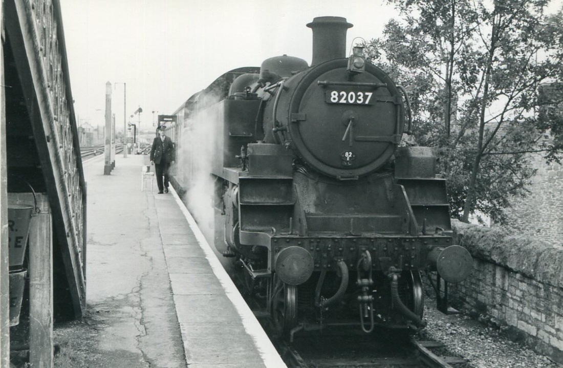
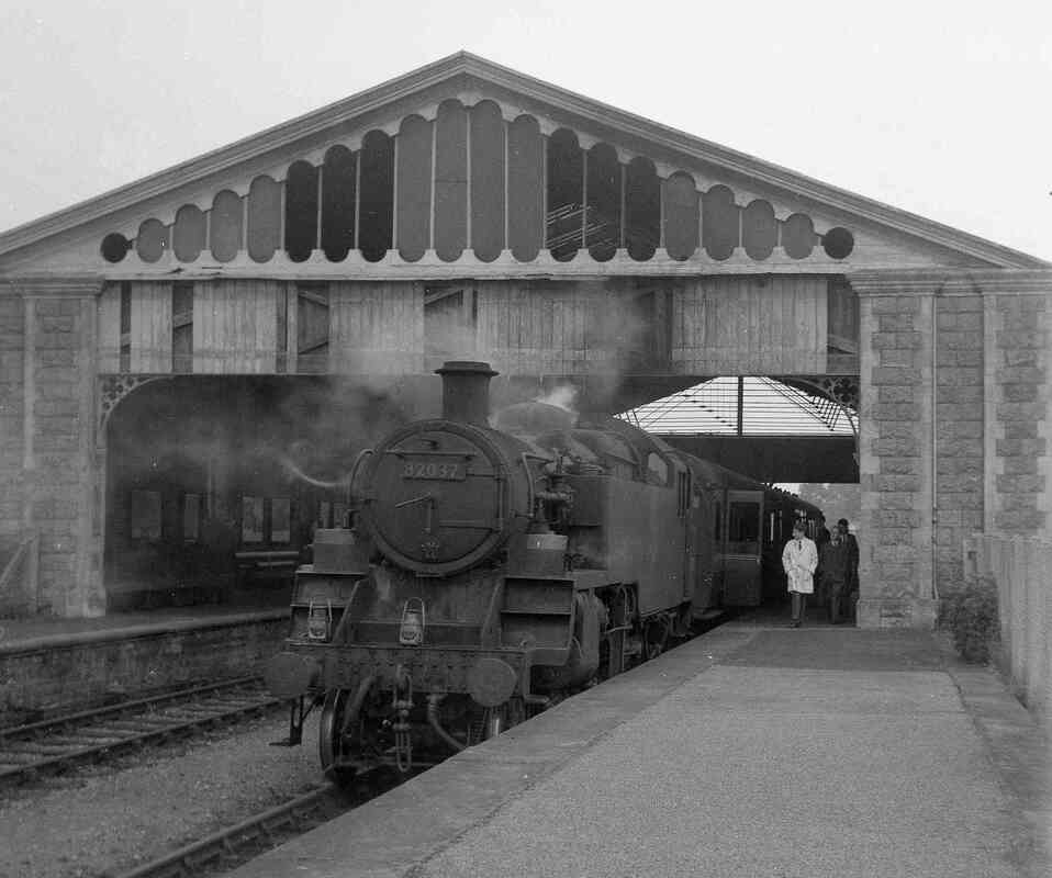
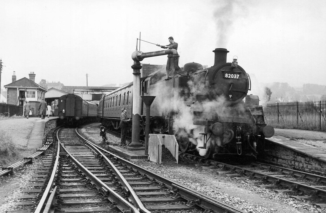
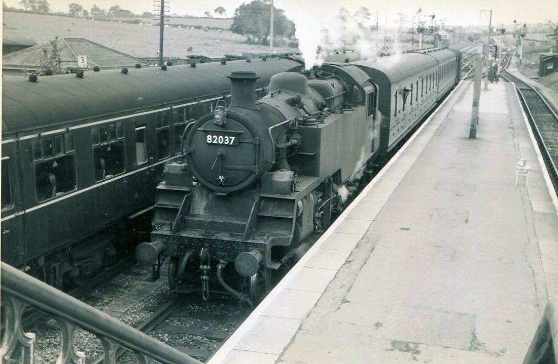
Witham 82037 stands at the branch platform. It was due to arrive here at 9.34am where it would connect with a Weymouth to Bristol Train at 9.37am. 82037 would then push its train back up the branch, crossover, and proceed up the main line to Frome at 9.45am. Saturday 7th September 1963 Copyright Mike Roach
Witham Junction - map courtesy Google Maps. Use + & -buttons and pan to see recent views of the track layout.
