The line between Saltash and St Germans
The original route between Saltash and St Germans was of single track and followed a course fairly close alongside the river Lynher for much of its distance before finally crossing that river north of its junction with the river Tiddy. There were six six viaducts involved, all of timber construction, the maintenance cost of which was a factor in the decision to construct new main line further north. The new main line four miles and five chains long was of double track and required three new viaducts - at Forder, at Lynher, and at St Germans. Also required was a new double track 452 yard tunnel at Wivelscombe.
The six timber viaducts on the original route were:-
Forder 696' long and 67' high,
Wivelscombe 198' long and 25' high,
Grove 114' and 29' high,
Nottar 921' long and 67' high,
St Germans 945' long and 106' high. (The present viaduct at St Germans is at a higher level).
Whereas the original line dropped to a relatively low level alongside the river and then climbed continuously at about 1 in 70 from soon after Wivelscombe, the new line fell to Forder viaduct and then climbed to Wivelscombe tunnel to fall over the new Lynher viaduct then to climb again on the approach to Tiddy viaduct.
The viaduct at St Germans spans the river Tiddy and the viaduct is thus variously called the St Germans or Tiddy viaduct.
Unusually with our coverage we head from east to west.
It would also prove very useful if you were to refer to Google Earth in conjunction with the map below.
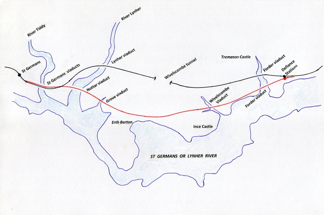
A sketch plan of the area between St Germans to the west and towards Saltash to the east.
The red line depicts the pre 1908 'Brunel route' and the black the current line via Lynher viaduct, Wivelscombe tunnel and Forder viaduct. Note the area inland of the legend Forder viaduct, for the pre 1908 route is called 'Antony Passage'. It would also prove very worthwhile looking up Antony Passage on Google - there is a copy of an old OS map showing the village and a siding with a point facing Saltash located inland of the main line. In addition there is an old postcard of the village in which you can clearly see the route of the railway.
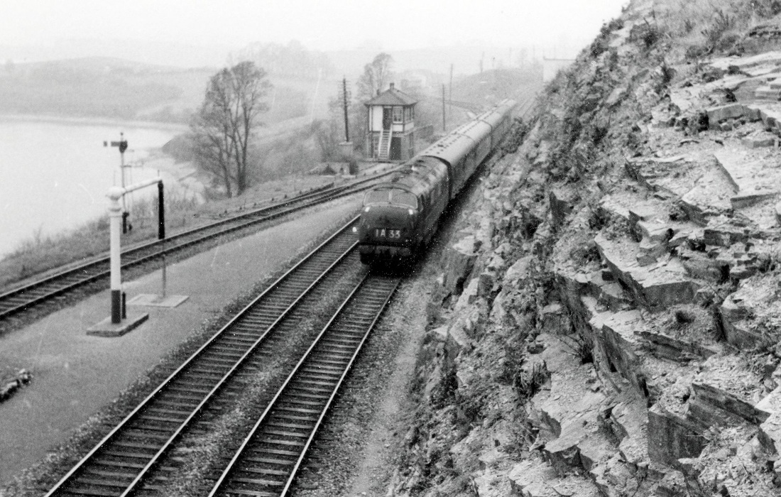
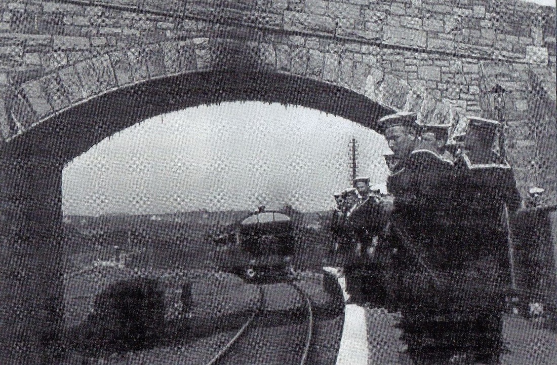
A most interesting picture showing Wearde signalbox which closed 31st October 1965 (Ref Track diagrams Sect 14 Tony Cooke). The down refuge siding which had been made into a loop in 1943 was closed the same day as the signalbox. The line seen diverging off to the left in the distance is the route of the original main line into Cornwall. This was retained as a siding for holding coaching stock - it was also taken out of use on the 2nd November 1964. It is understood that the loco approaching is D868 on the 13.20 Penzance to Paddington in either March or April 1962. This photograph from the collection of the late Keith Holt.
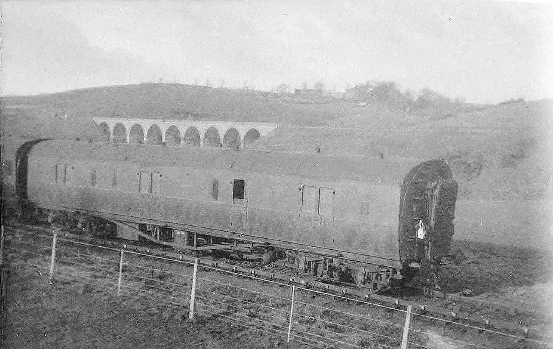
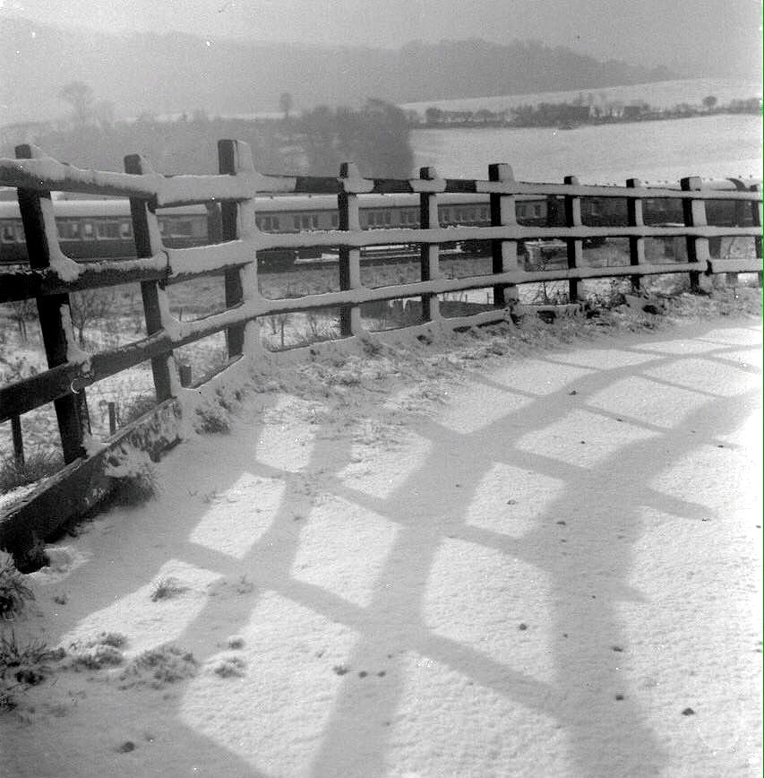
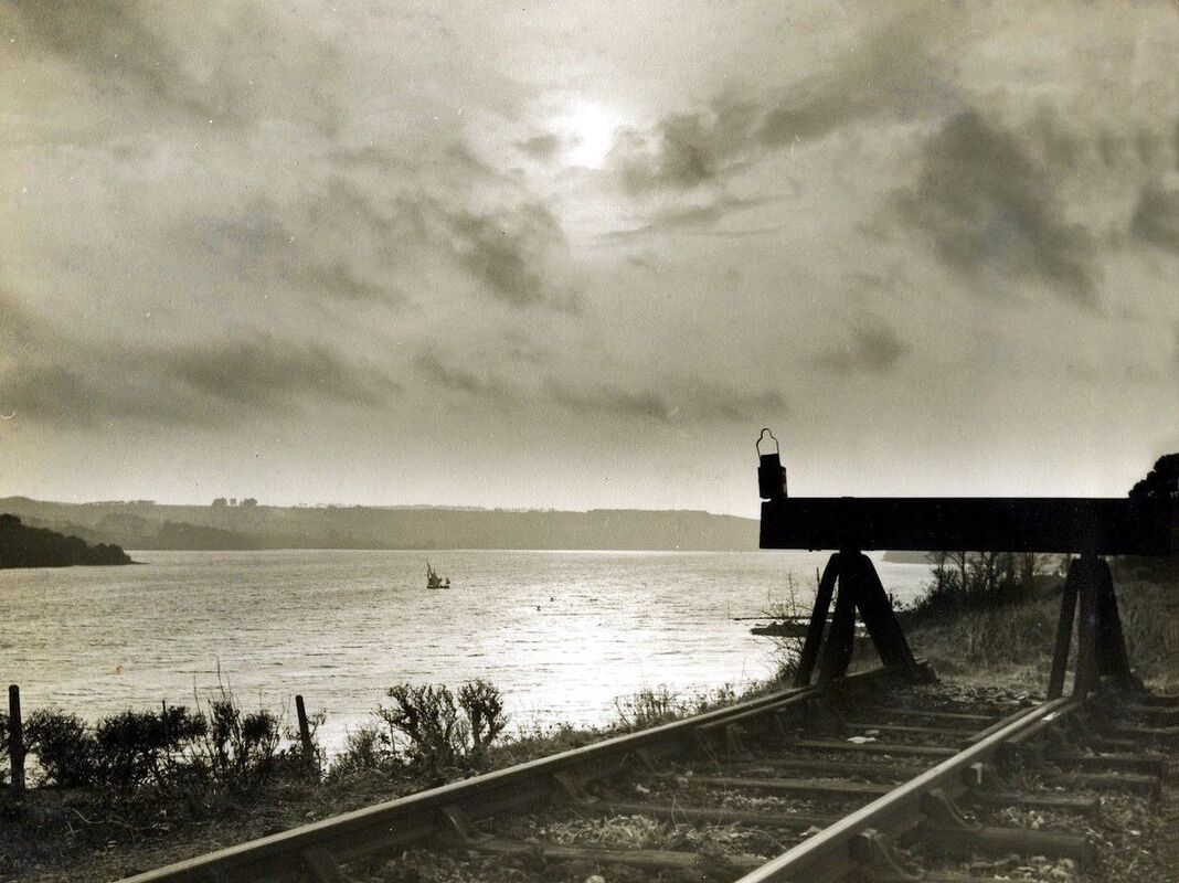
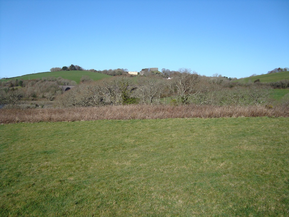
Another extremely interesting and very rare picture is taken of stock standing on the remains of Brunels old route. In the distance can be seen the 'new' Forder viaduct and beyond that Trematon castle. This siding, which also had a run round loop was finally taken out of use on 2nd November 1964. It is understood that stock stabled out in this remote location formed handy accommodation for 'gentlemen of the road', who if they didn't wake up in time, would find themselves back in Plymouth when stabled stock was recovered for use! From the Late Sid Sponheimer collection - copyright.
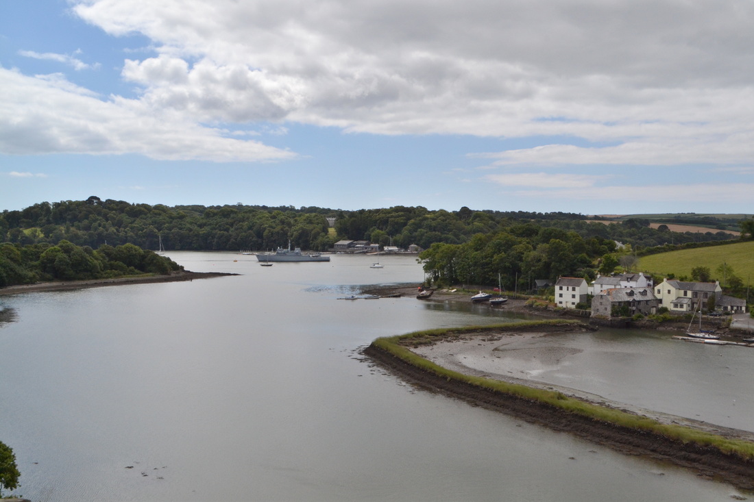
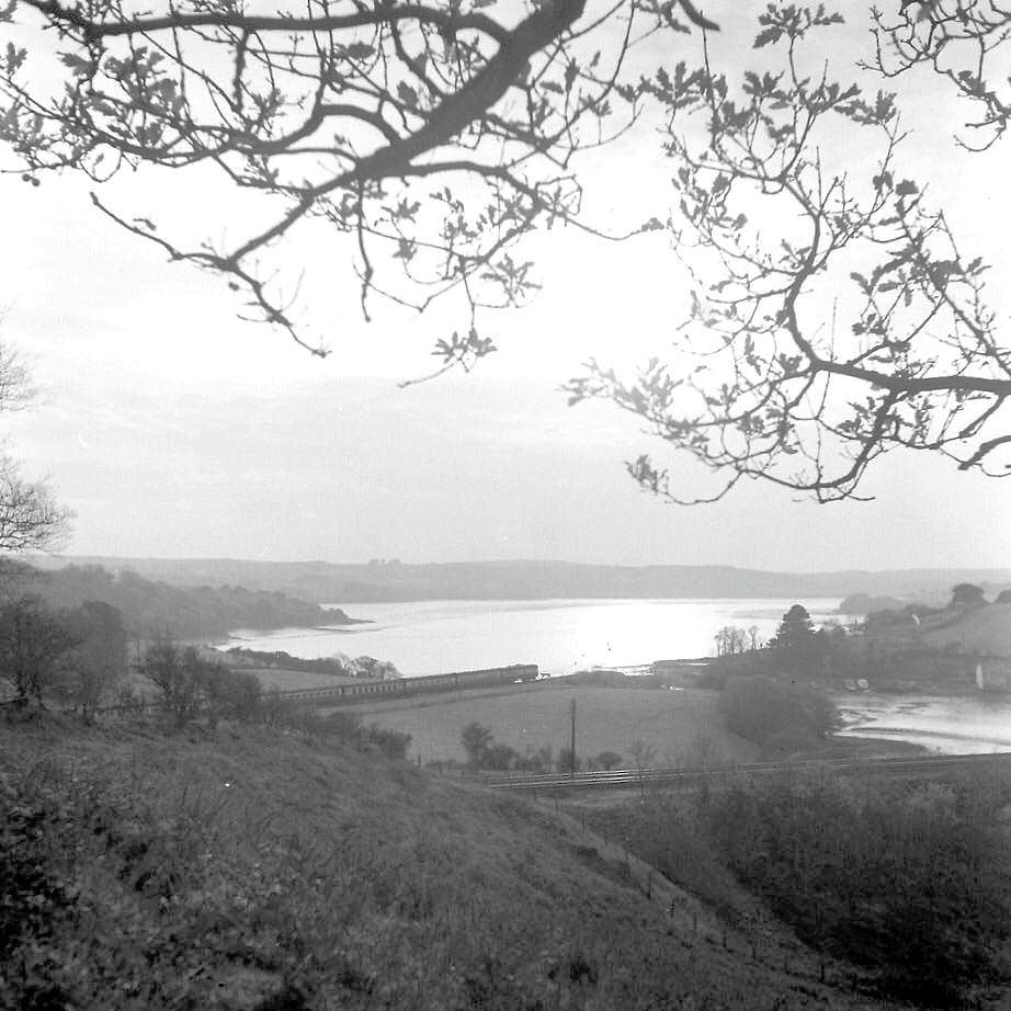
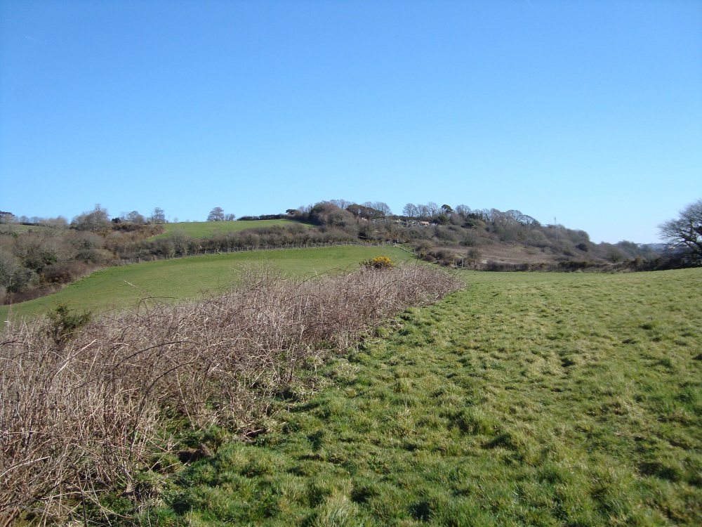
140715f A view from the current main line looking southwards towards the St Germans or Lynher river. The pre 1908 line crossed this wide creek on the low Forder timber viaduct, then passing behind the hedge on the right hand side of this picture. The village of Antony Passage is located around the corner to the right. Copyright Roger Winnen
The old Forder viaduct. Many thanks to Ross Griffiths we have this location on the web showing the original viaduct - to view it click here http://www.forder.org.uk/images/oldForder_10.jpg
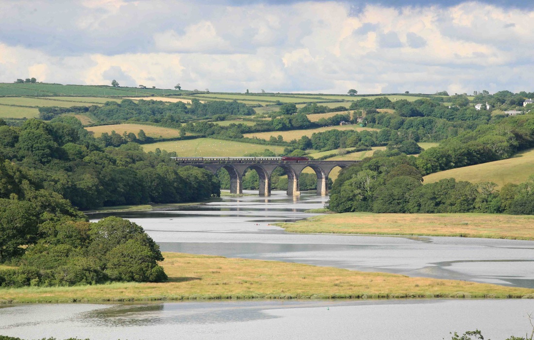
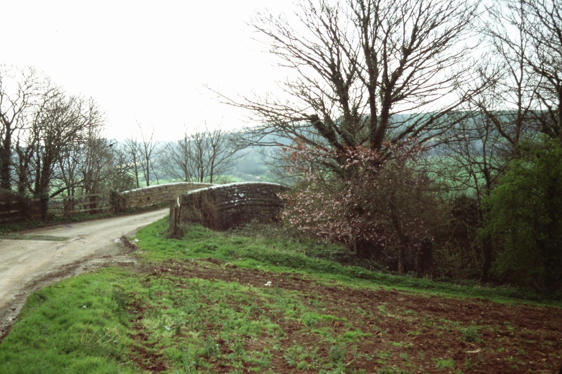
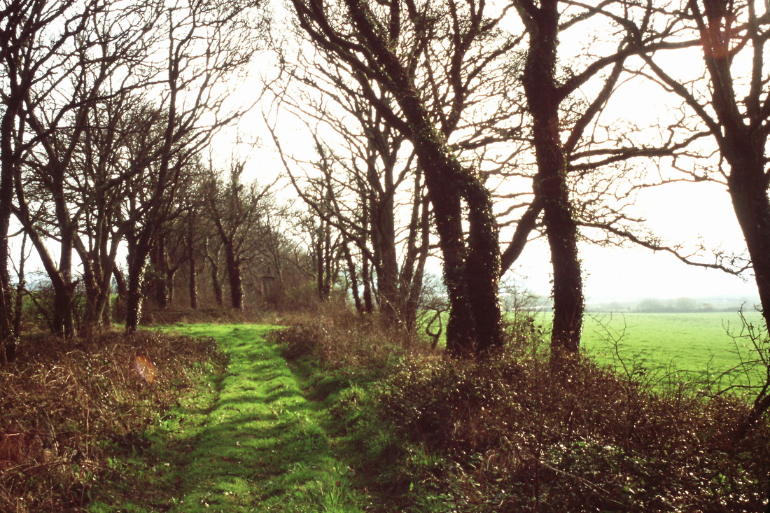
The junction of the river Tiddy with the river Lyner. The Lynher continuing under the viaduct of the same nam. The original Brunel route crossed the river on the Nottar viaduct at this point, but nearer, the tree line coming down the nearby field on the right hand side of this picture marks the route. Here is this very modern picture by Roger Geach we see 1015 Western Champion returning up country with the Cornishman Railtour to Thame Bridge the 1Z08 at 1611 crossing the Lynher viaduct.28th June 2014. Copyright Roger Geach
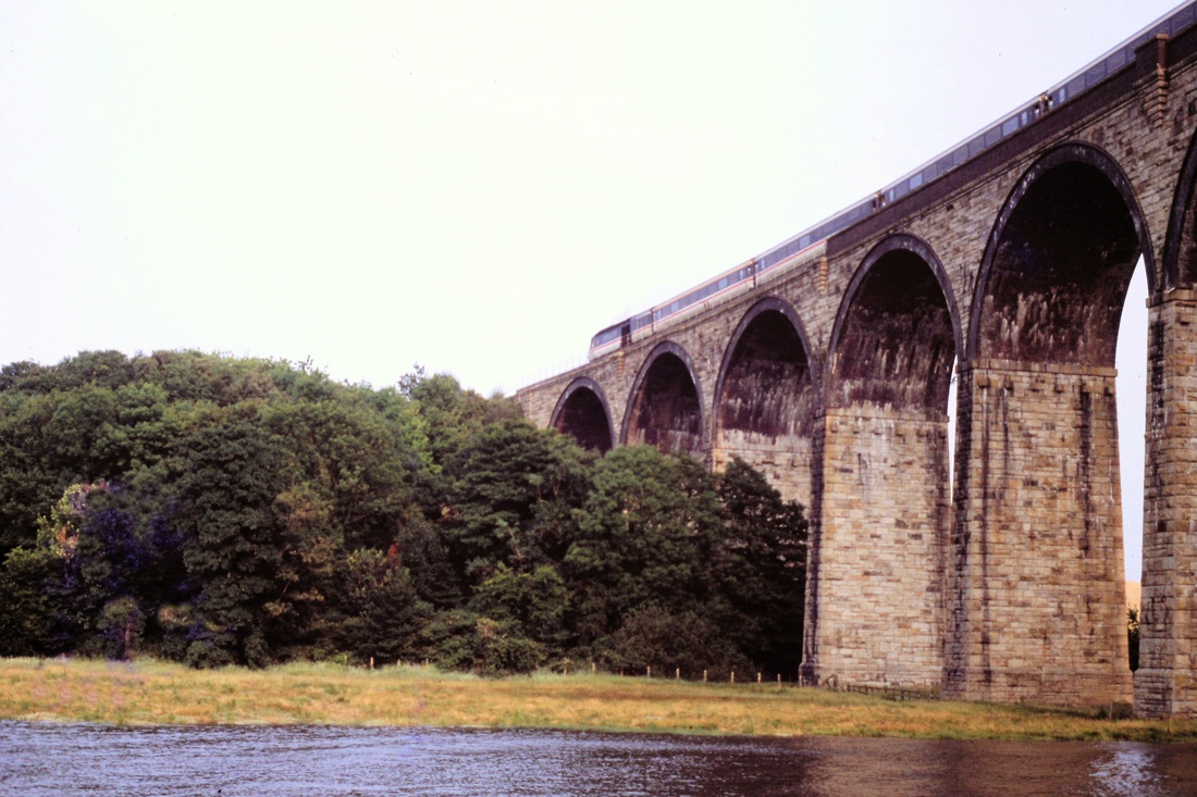
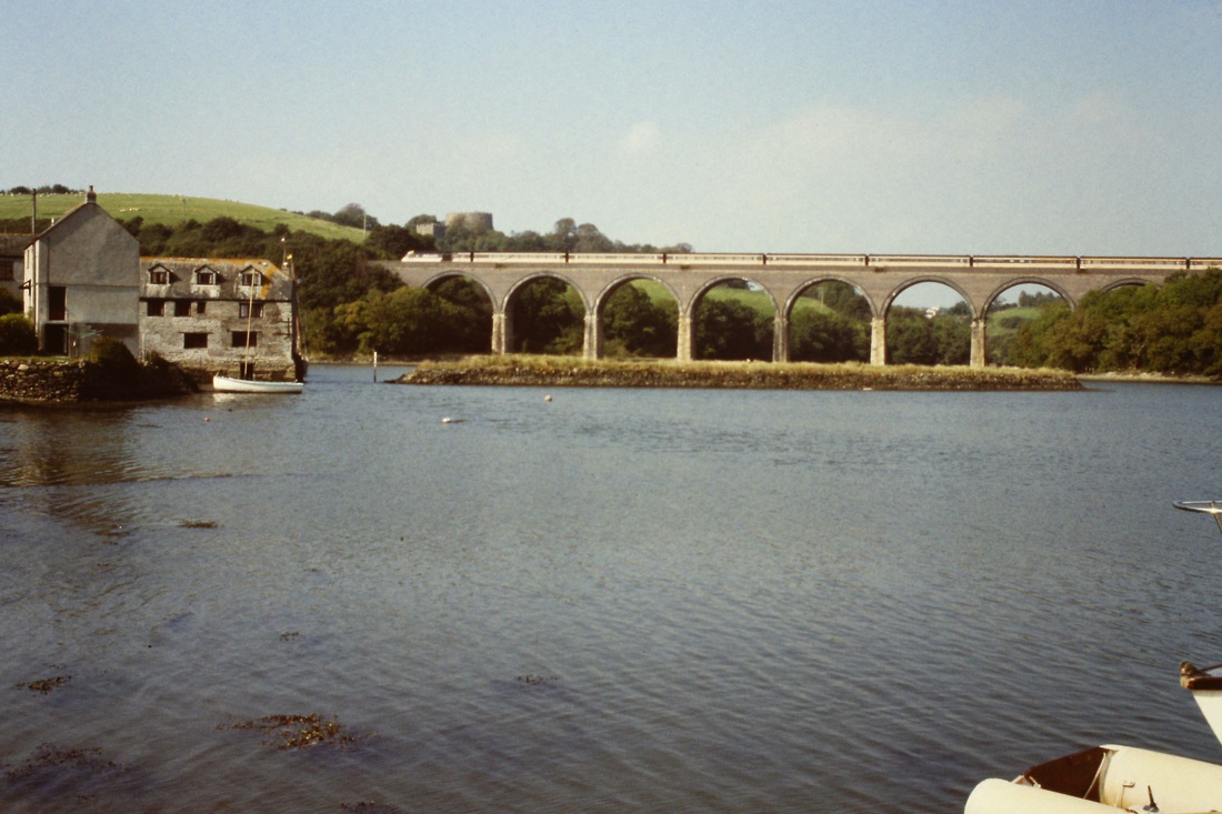
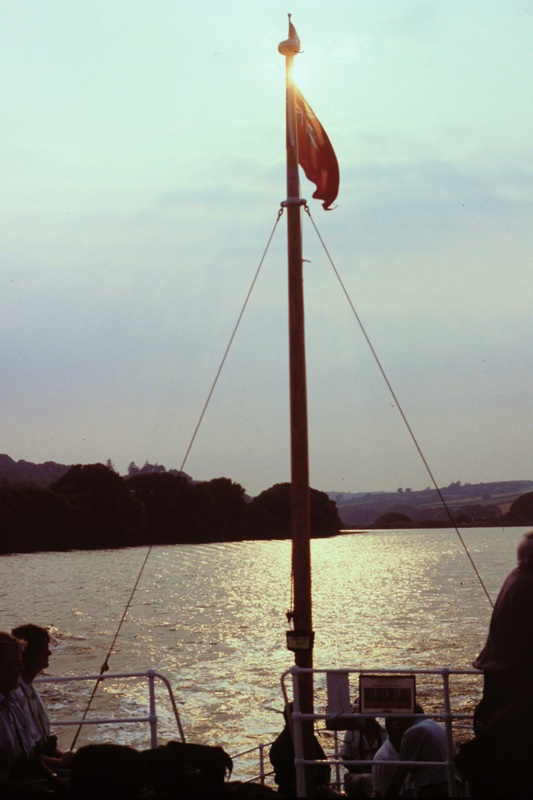
On the 23rd July 1994 the CRS chartered a boat which actually took our party up river of the masonry viaduct. The original Brunel timber structure crossed the river alongside this viaduct but at a lower level. The Brunel route coming from Nottar viaduct was at a lower level than the current main line which actually passed over it about 100 yards beyond the end of this viaduct. As can be seen there was a very high tide during our visit, even then the boat 'bottomed' and there was a danger of us remaining up there until the next tide! Copyright Roger Winnen
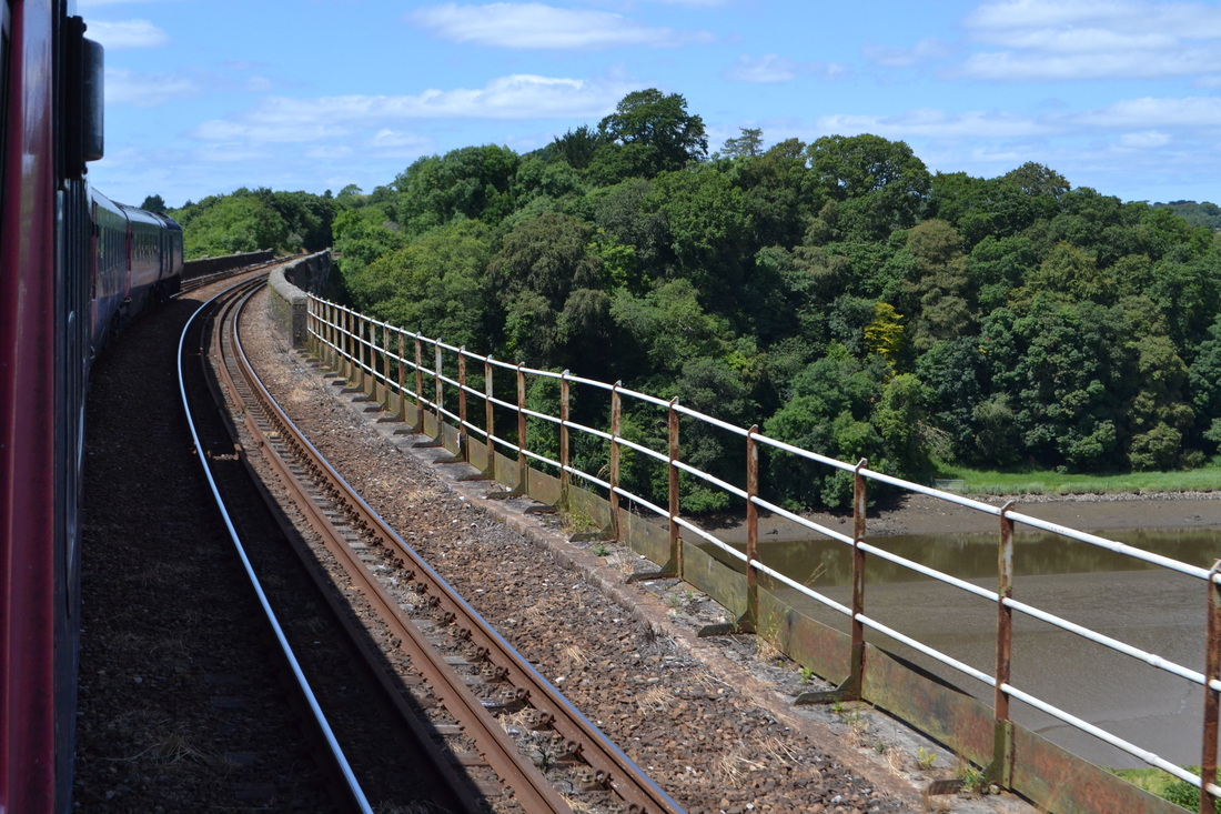
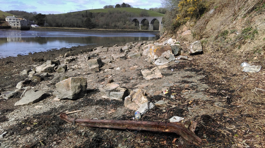
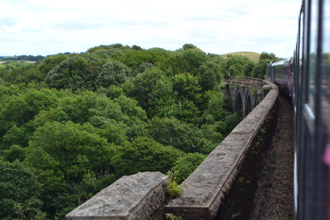
140715h From a down train looking west across St Germans viaduct. The pre 1908 line having crossed the river Tiddy alongside, but at a lower level, 'landed' on the bank ahead and climbed through the later goods yard. The CRS charter boat turned in the very narrow channel at this point, one can see why it very nearly became stuck! Copyright Roger Winnen
