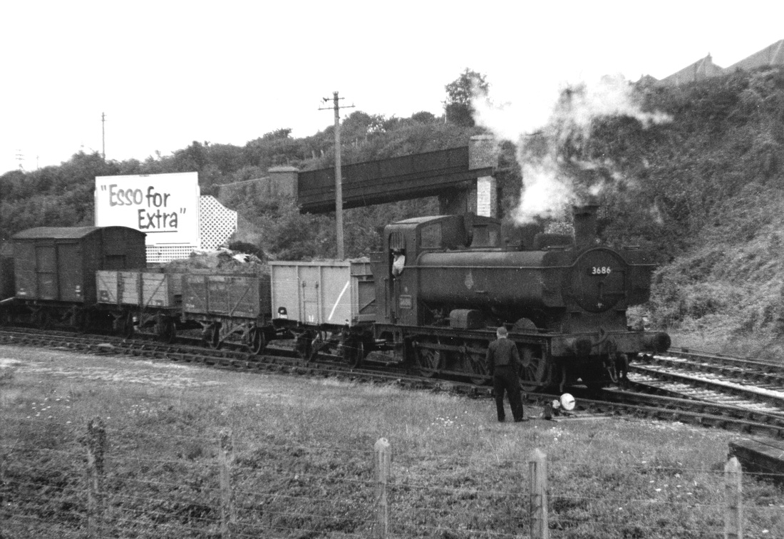
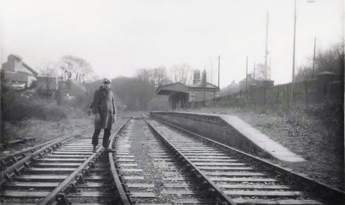
Turnchapel and Yealmpton Branches
Credits, Many thanks to all contributors - please see a list on the home page.
USEFUL MAPS
Members and general visitors to the CRS site will be interested in visiting http://www.railmaponline.com From the opening page a full map of the UK can be accessed which can then be enlarged to show every railway line in the UK. Not just today's network but lines from the past have been overlaid. As you zoom in sidings and even tramways become visible.
A valuable tip from Guy Vincent.
Please note the coverage is in three parts-
Part One Laira bridge - Plymstock.
Part Two The Turnchapel branch.
Part Three The Yealmpton branch.
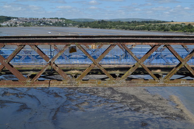
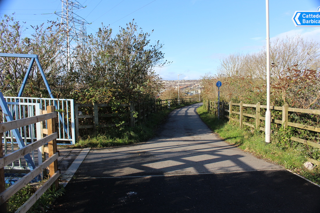
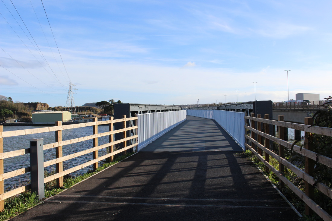
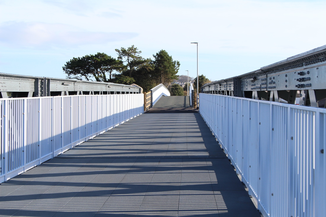
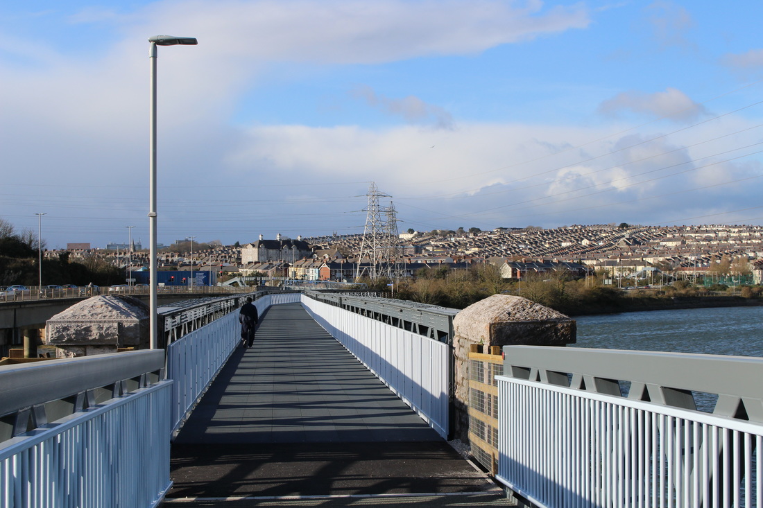
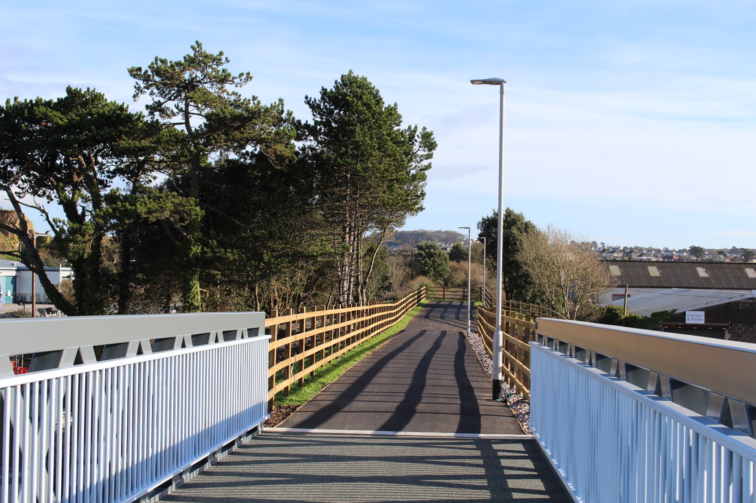
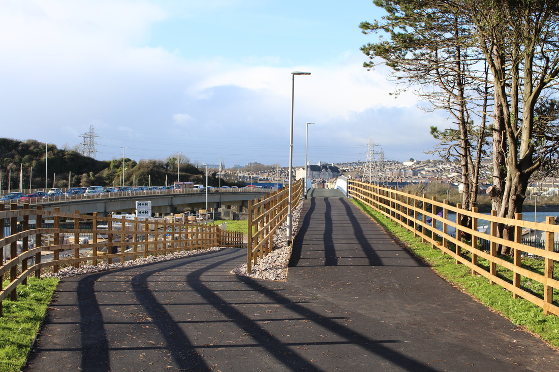
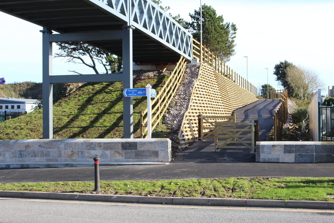
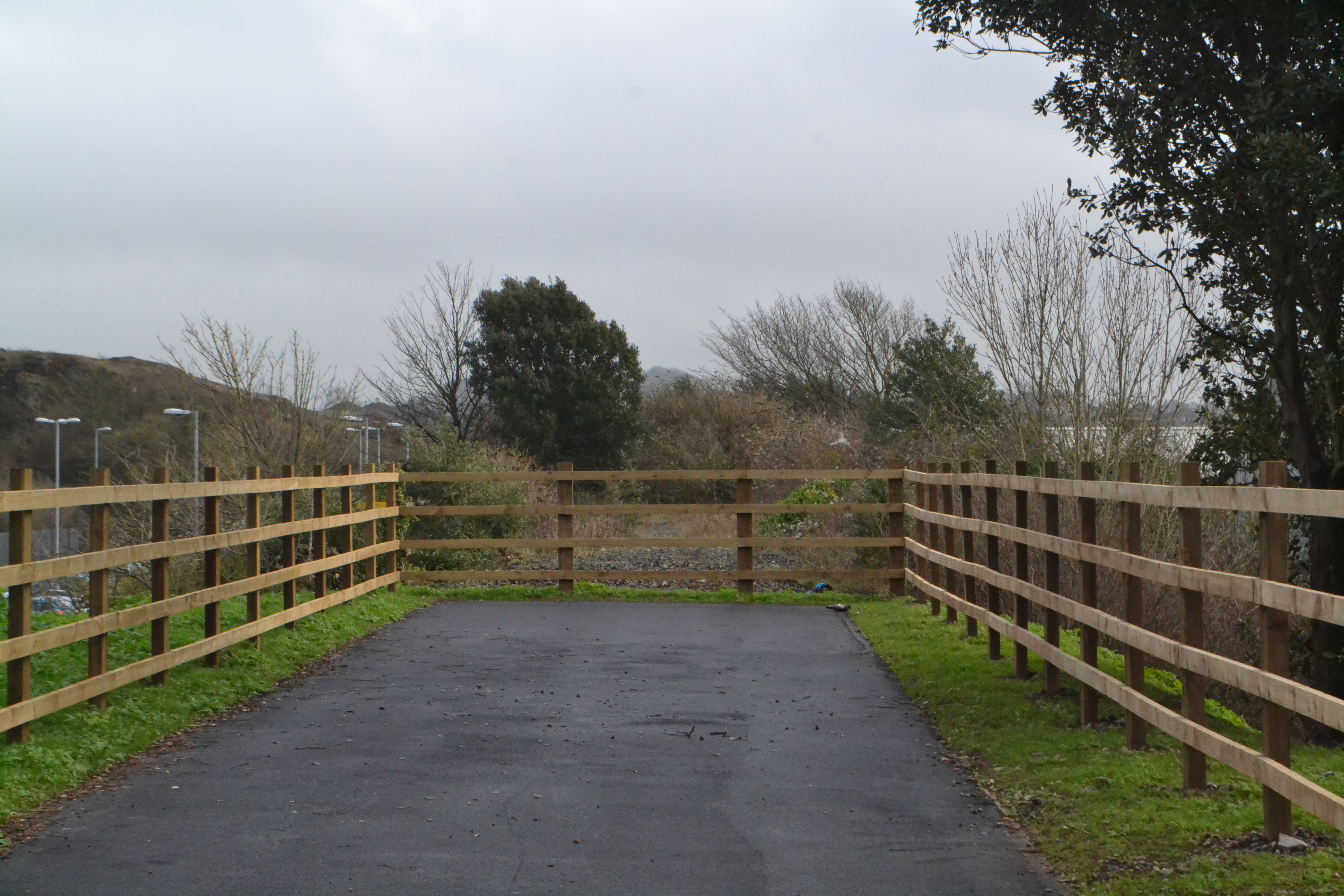
N.B. There is also an article in the features section concerning the new footpath over Laira bridge towards Yealmpton. Please click here to go to features, Jan to June 2017, to see it.
Part One Laira bridge - Plymstock.
Part Two The Turnchapel branch.
Part Three The Yealmpton branch.
N.B. There is also an article in the features section concerning the new footpath over Laira bridge towards Yealmpton. Please click here to go to features, Jan to June 2017, to see it.
The Turnchapel and Yealmpton Branches
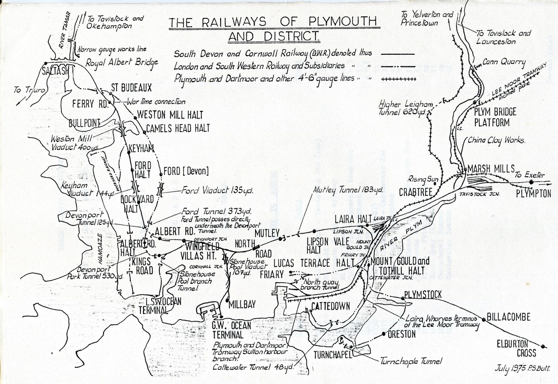
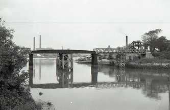
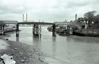
As can be seen from the above map the Turnchapel and Yealmpton branch trains traversed common metals crossing the river Plym by means of Laira bridge, the branches splitting either side of Plymstock station platforms. Services were provided from either Plymouth Friary or Nother Road, there is a complicated history
here
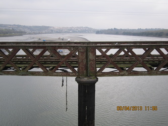
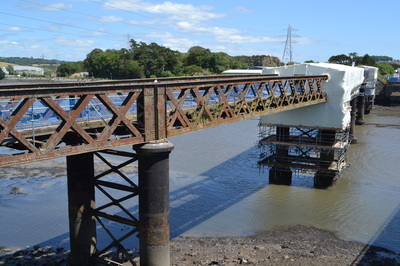
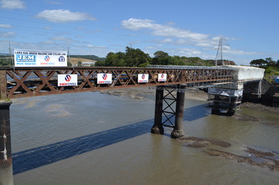
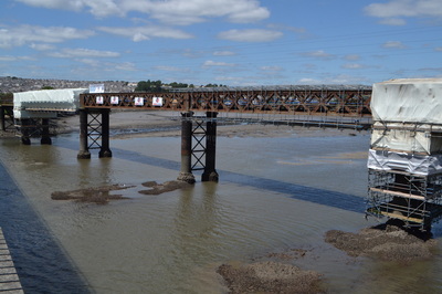
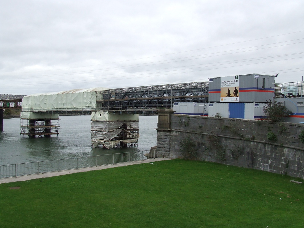
A Notice appeared in the Western Morning News on 27 August 2013, issued by Plymouth City Council, concerning the Laira Rail Bridge. The Notice indicated that application had been made to the Marine Management Organisation for a licence to undertake refurbishment of the Laira Rail Bridge. Copies of the application may be viewed on line at www.marinemanagement.org.uk/publicregister
Part One
Laira Bridge to Plymstock
Laira Bridge to Plymstock
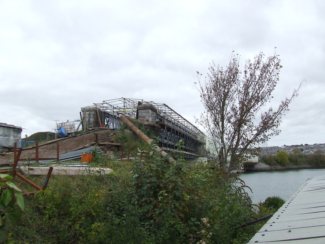
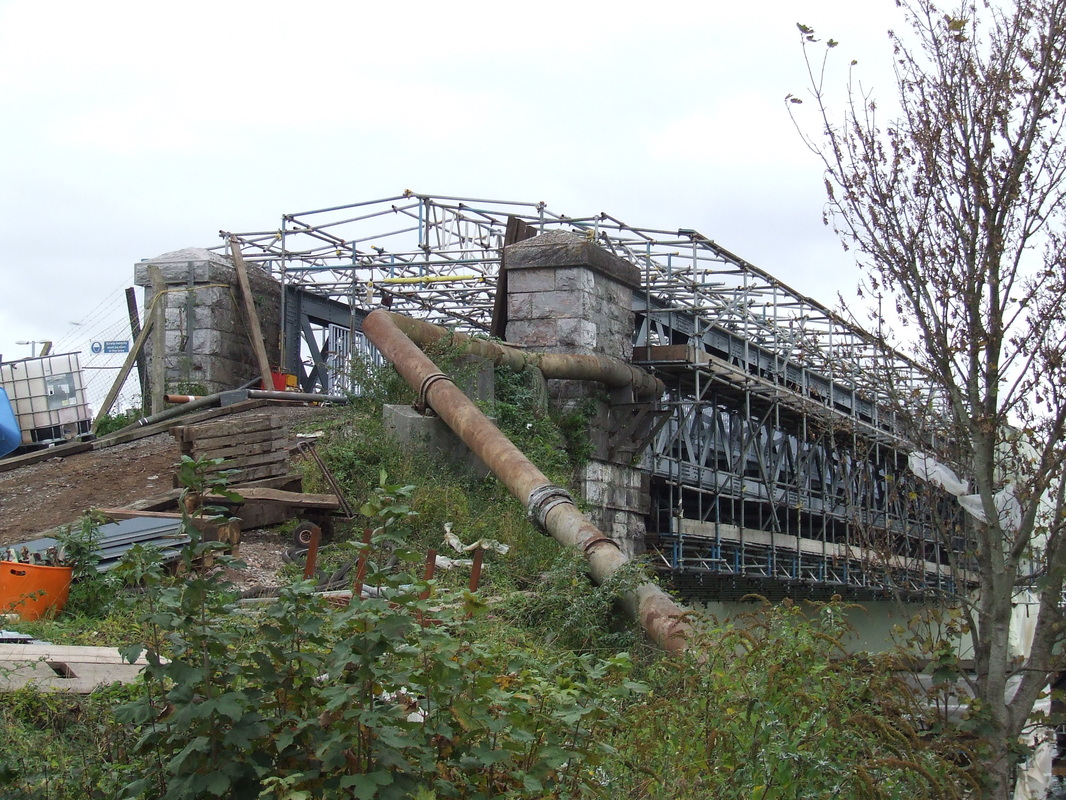
A note from Trevor Tremethick who kindly supplied the pictures below
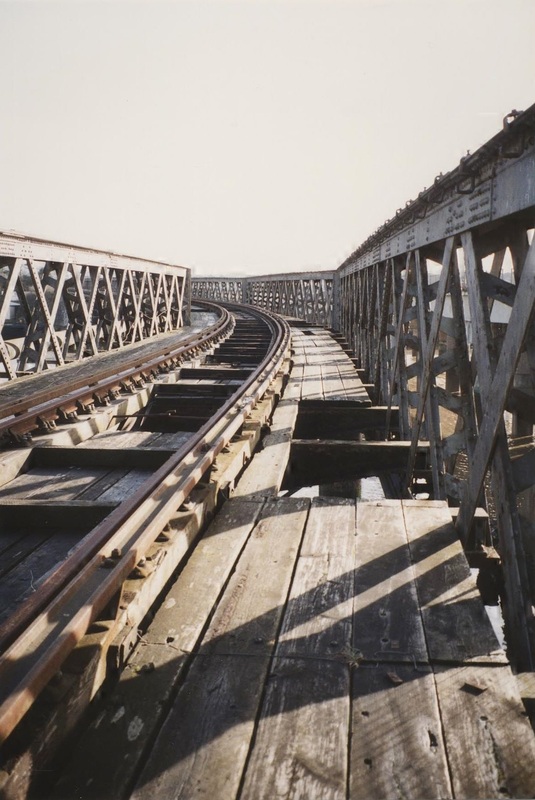
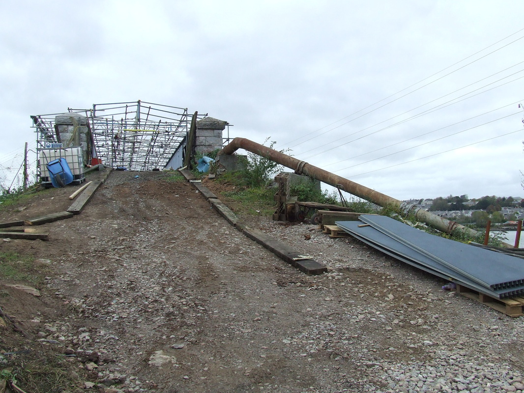
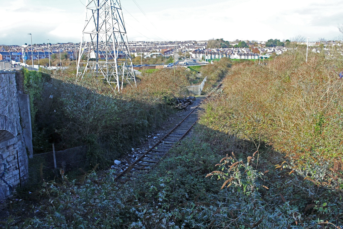
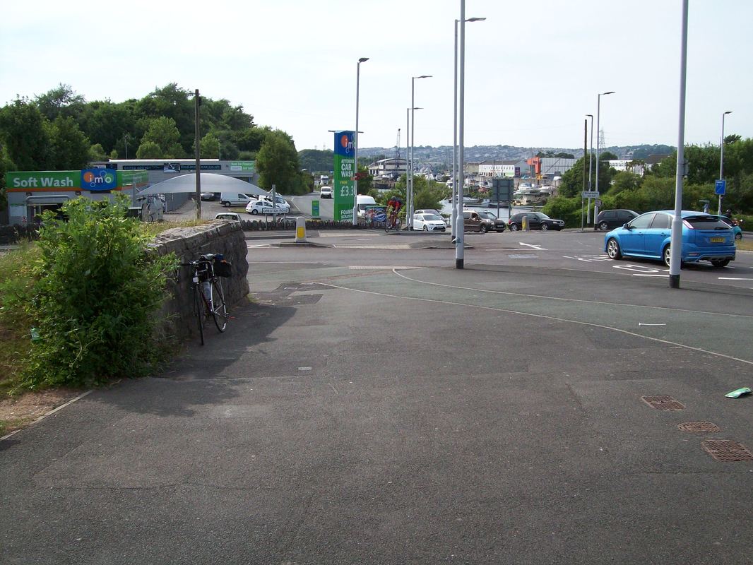
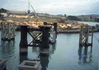
The attached pics, taken on a rather grey 26th October, show the Plymstock end of the bridge where the tarpaulin has now been removed from the end section, although the scaffolding remains in place. You can just about see that they have painted the structure in a tasteful medium / dark grey and appear (thank goodness) to have resisted the temptation to decorate it with pictures of seagulls or butterflies as they seem to do on other refurbished bridges. As you can see, work has also begun on the ramp to take the cycle way / walkway down to road level where the railway was chopped off for the access road ('The Ride') to the recycling centre.
The attached pics, taken on a rather grey 26th October, show the Plymstock end of the bridge where the tarpaulin has now been removed from the end section, although the scaffolding remains in place. You can just about see that they have painted the structure in a tasteful medium / dark grey and appear (thank goodness) to have resisted the temptation to decorate it with pictures of seagulls or butterflies as they seem to do on other refurbished bridges. As you can see, work has also begun on the ramp to take the cycle way / walkway down to road level where the railway was chopped off for the access road ('The Ride') to the recycling centre.
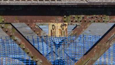
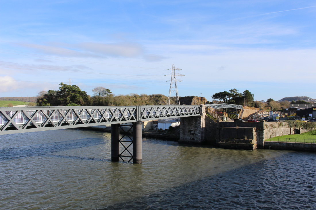
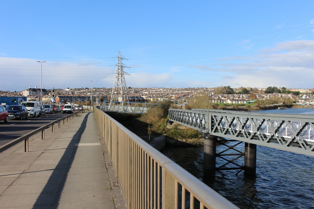
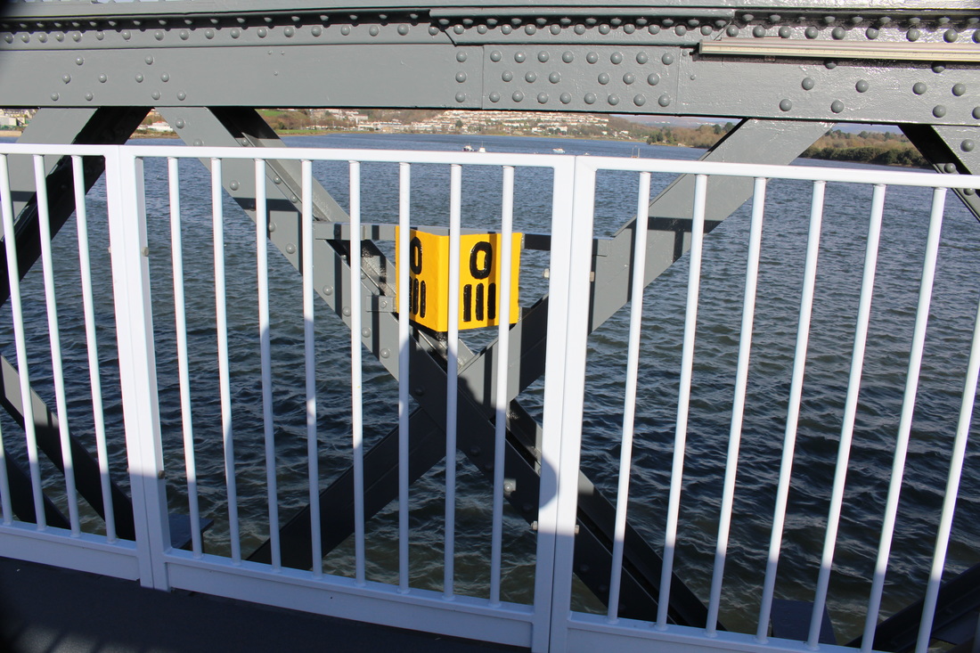
The pedestrian bridge at Laira complete. A series of pictures complied by Trevor Tremethick for which we are most grateful
Prior to PLymstock
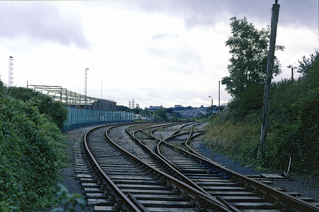
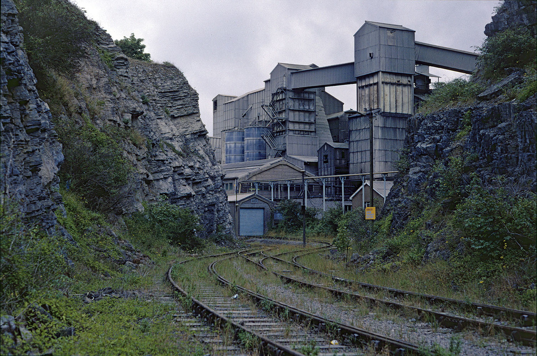
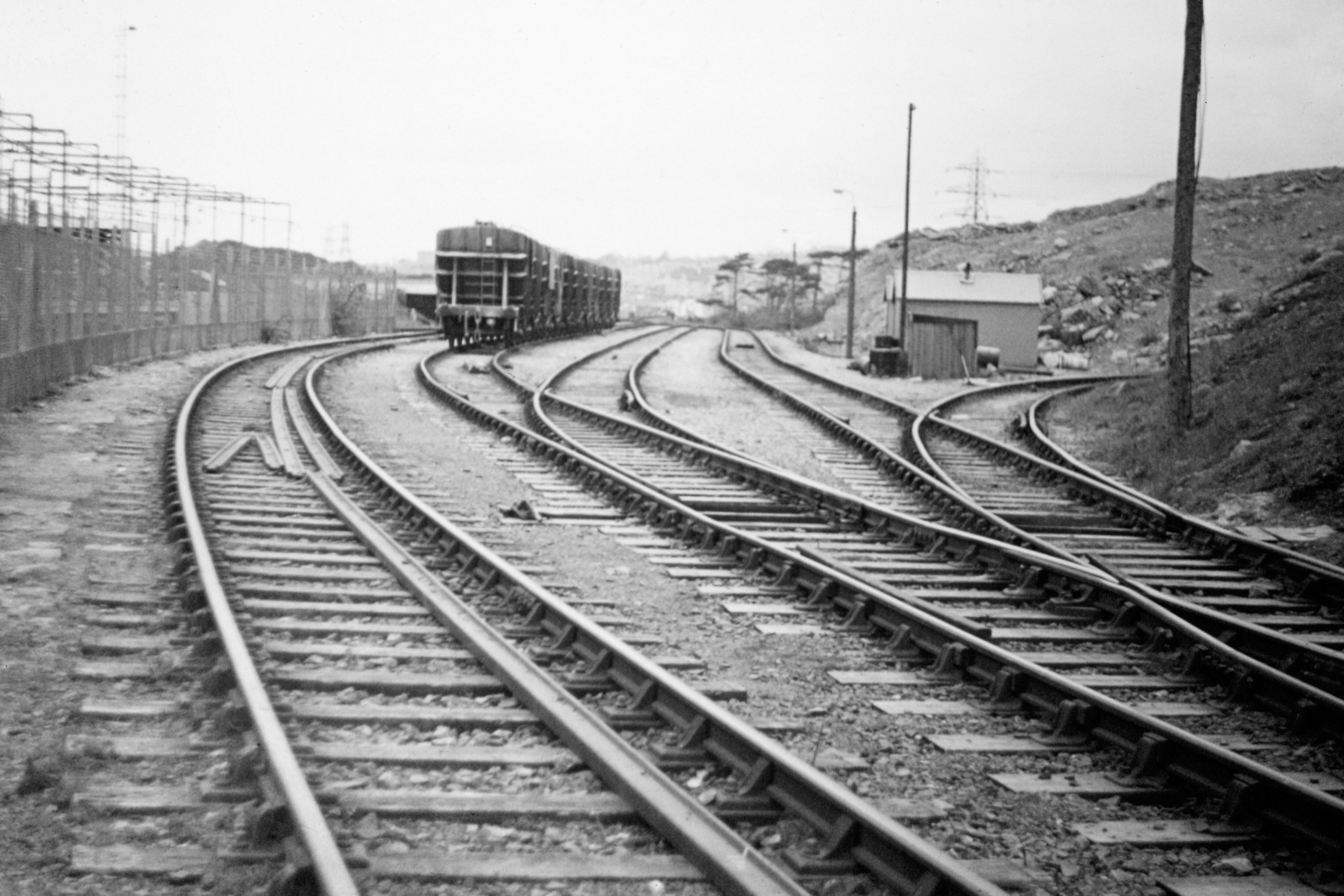
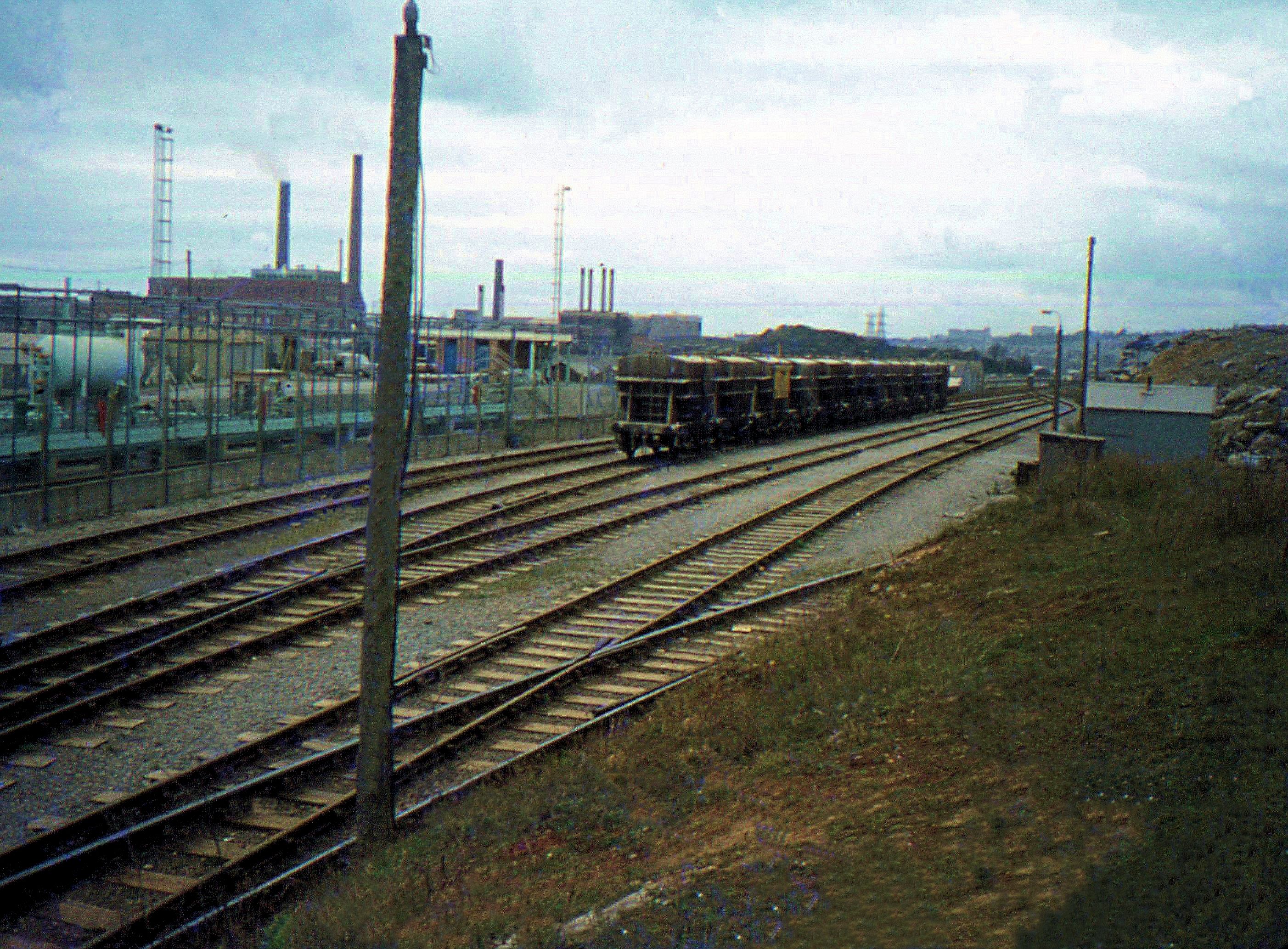
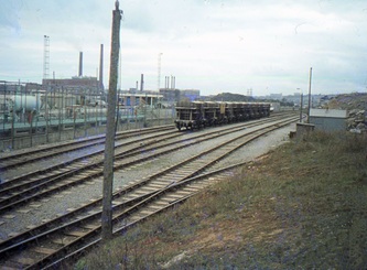
About half mile before Plymstock station was reached, in fact about midway between Laira Bridge and Plymstock station there was a collection of of loops and sidings - see Tony Cookes Track Layout Diagram Section 12 Plymouth for details. The sidings and loops served an LPG terminal and for a short time a connection was laid into the Blue Circle Cement works. The works opened in 1953 but was only served by rail for a short time before it closed in 1998.
About half mile before Plymstock station was reached, in fact about midway between Laira Bridge and Plymstock station there was a collection of of loops and sidings - see Tony Cookes Track Layout Diagram Section 12 Plymouth for details. The sidings and loops served an LPG terminal and for a short time a connection was laid into the Blue Circle Cement works. The works opened in 1953 but was only served by rail for a short time before it closed in 1998.
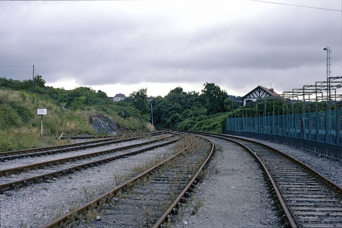
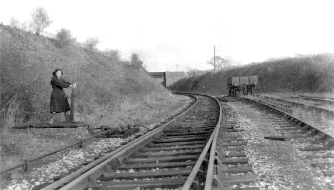
Plymstock sidings and loops. The former passenger line through to Plymstock for Turnchapel and Yealmpton is on the right of this picture. The Low Pressure Gas sidings are within the enclosure to the right. The cement siding diverged off the layout swinging away to the left on a sharp curve behind the sign. The truncated former branch towards Plymstock lay in a cutting almost directly ahead and formed a head shunt. This picture dated 2nd August 1987 Copyright Roger Smith
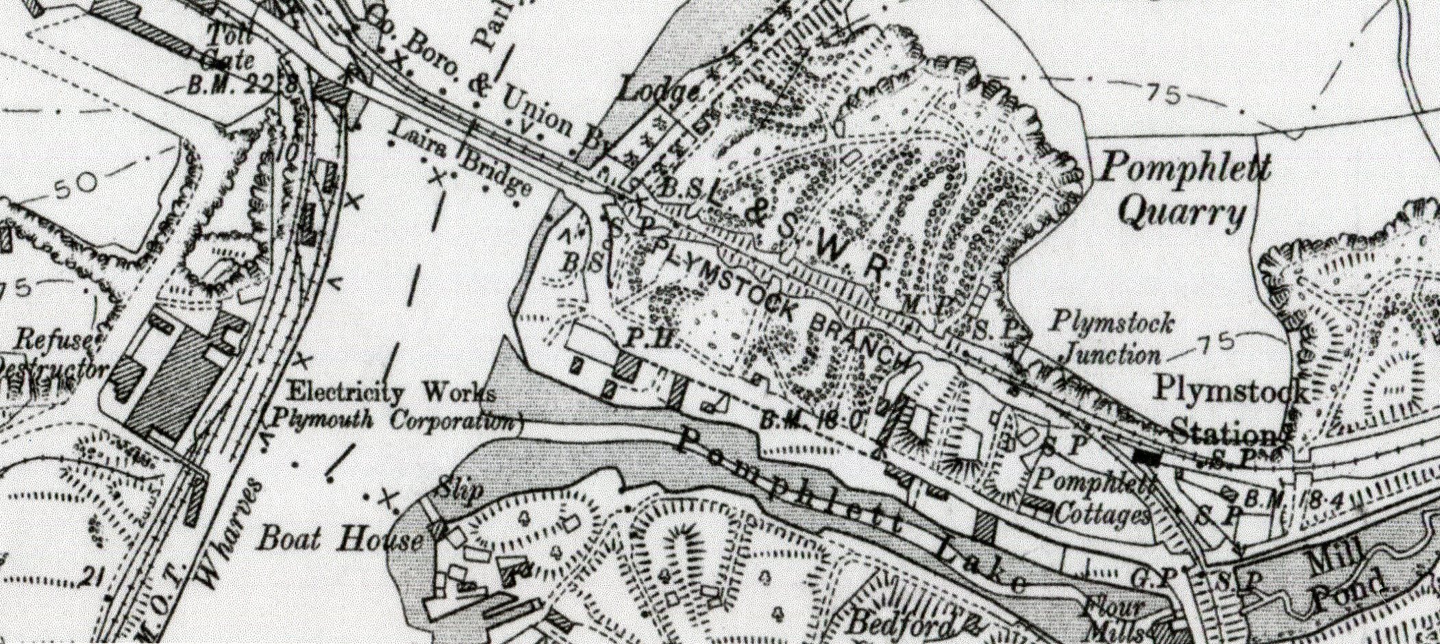
Plymstock area showing Laira Bridge, and the Pomphlett Quarry, later the cement works. Also note the line going off the page bottom right - this is the Turnchapel branch. That off to the right is the Yealmpton branch. Six Map 1883 - 1913 Reproduced with the permission of the National Library of Scotland
Plymstock
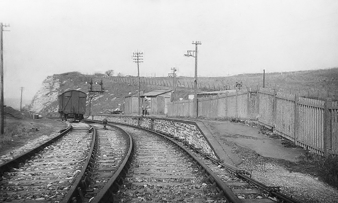
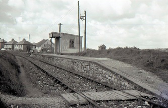
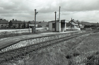
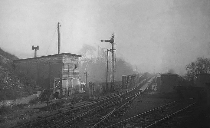
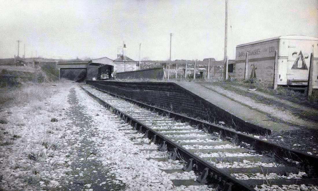
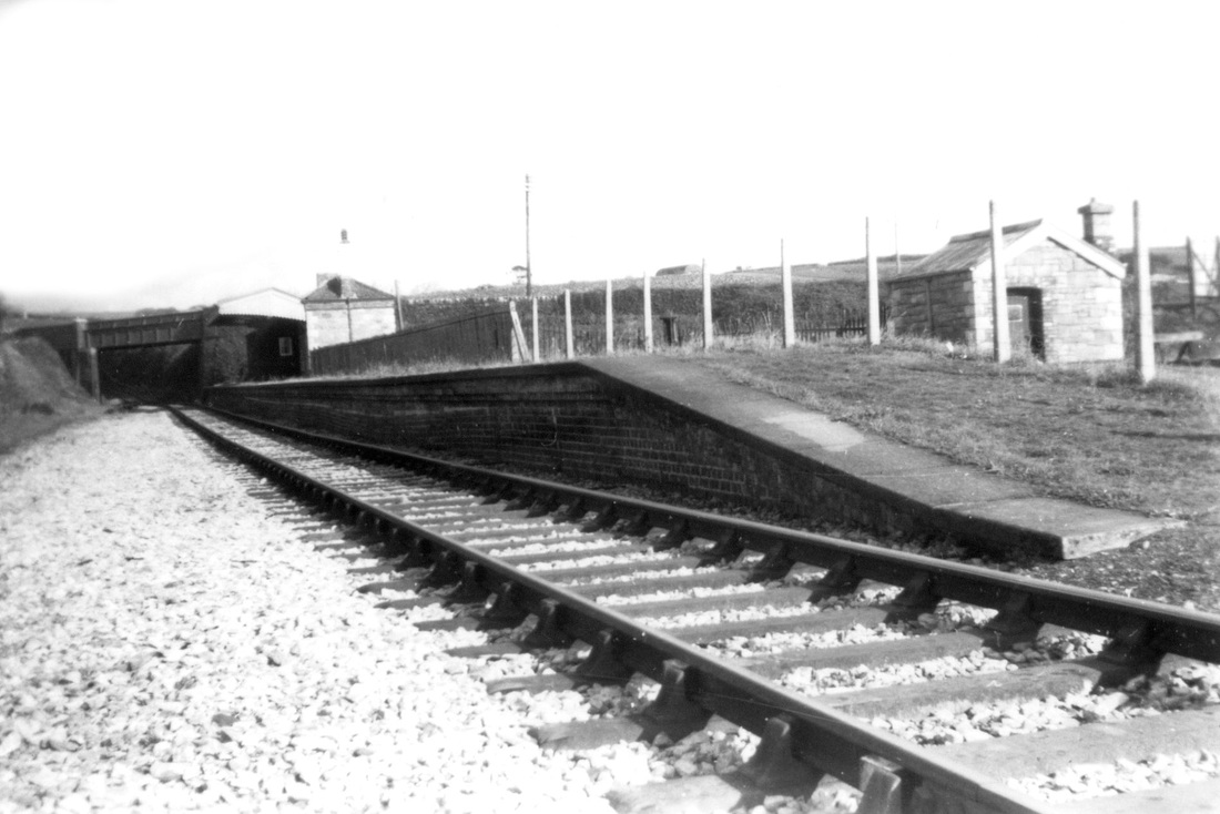
Plymstock station was situated at the junction between the Yealmpton branch, to the left and the Turnchapel branch to the right. The two platform faces were after the 'split' and were thus dedicated to their respective branch lines. A primitive station building was provided on the platform. Closure of the Yealmpton Branch came in February 1960 with a brake-van special train organised by the Plymouth Railway Circle.
Plymstock station was situated at the junction between the Yealmpton branch, to the left and the Turnchapel branch to the right. The two platform faces were after the 'split' and were thus dedicated to their respective branch lines. A primitive station building was provided on the platform. Closure of the Yealmpton Branch came in February 1960 with a brake-van special train organised by the Plymouth Railway Circle.
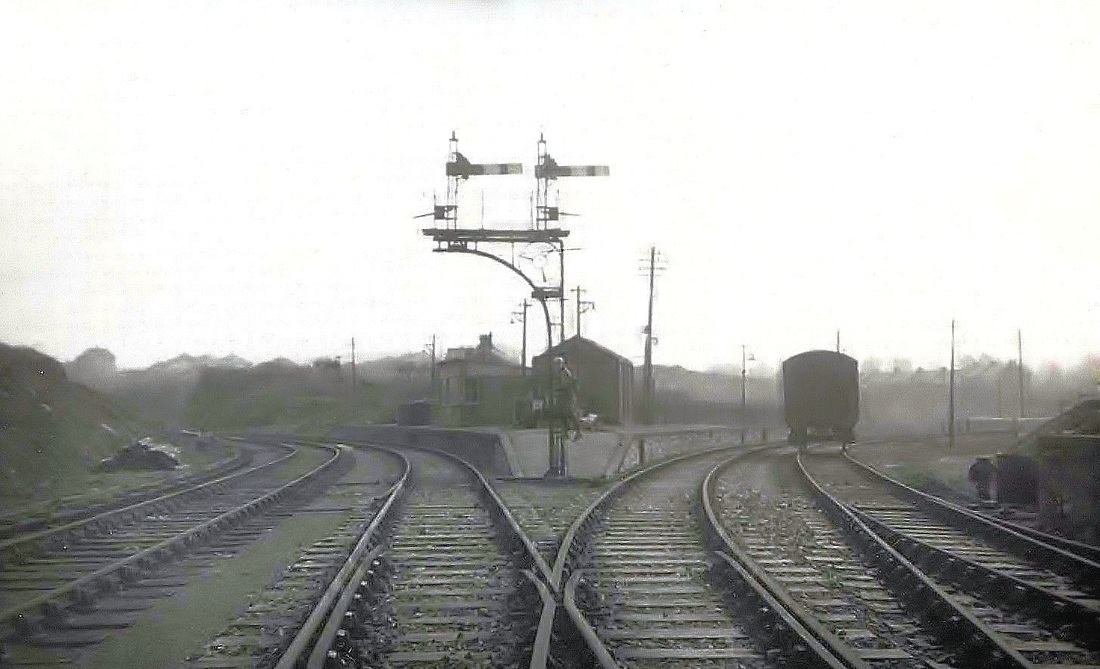
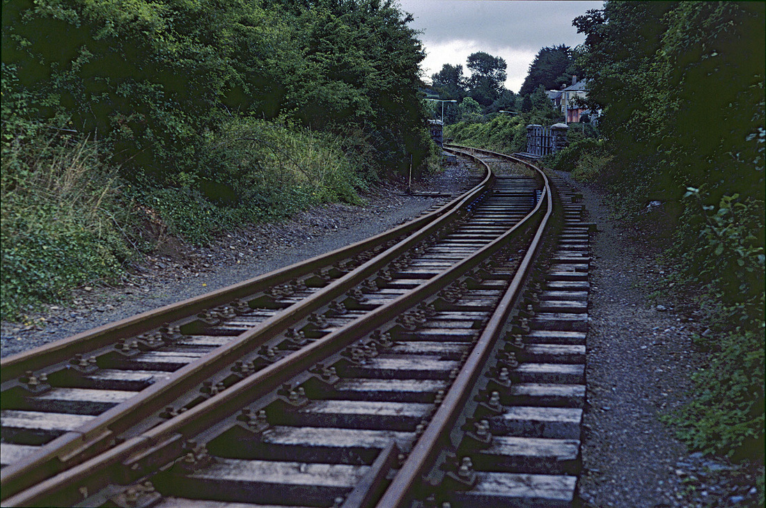
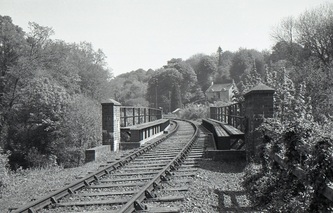
A view of Plymstock station looking into the split between the two branches - the metals to the left going to Yealmpton and those to right heading onto an embankment and across the bridge the parapets of which can be be seen in the second picture of the Turnchapel branch 1961 Copyright Sid Sponheimer
The Turnchapel branch follows - please 'scroll on' for the Yealmpton branch
Part Two
The Turnchapel Branch
The Turnchapel Branch
TURNCHAPEL BRANCH Michael L. Roach
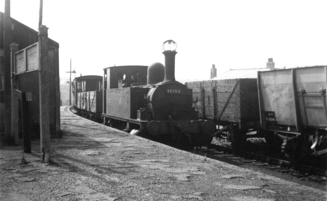
Turnchapel was once a small village in Devon just outside the City of Plymouth, but now its within the boundary of the City. The centre of Turnchapel retains a villagey feel because of its relative isolation and location on the edge of the sea. The shortest route to the City Centre is now by foot ferry to The Barbican. However Turnchapel used to be at the end of a branch line from Plymouth Friary Station. The last passenger trains ran 65 years ago today on Saturday 8 September 1951. Goods trains ceased 10 years later. I have been unable to discover which steam locomotive hauled the trains on the last day.
In the last timetable for summer 1951 there were 20 trains each way leaving Turnchapel from 5.55am to 10,45pm. Journey time to Friary was 10 minutes. There were 3 intermediate stations or halts in the 2 miles 45 chains length of the branch. By far the most important was Plymstock Station, which was the junction where the Great Western Branch went off to Yealmpton. This branch had originally closed to passengers in 1930 but reopened for the Second World War, finally closing to passengers on 7 October 1947. On 18 September 1947 the Western Morning News wrote a perceptive article under the heading Disappearing Branch Lines. It read as follows:
Closing of the Yealmpton branch railway line has resulted in speculation as to whether the Turnchapel branch of the sister Southern Company will not be the next to go. Passenger traffic on the Turnchapel branch has slumped during the past few years. Veteran season ticket-holders on the branch can remember when the 8.30am train was filled almost to capacity with professional and business men, but now they either motor in their cars or travel by 'bus, and the early-morning trains carry few passengers.
Those who use the line regularly can quote occasions on which the number of passengers was actually fewer than the number of railwaymen running the line, and it is only too obvious that the service, so far as passenger traffic is concerned, must be run at a loss. How long the company will continue to carry on under these conditions is doubtful, but it is certain that, if the public desires to retain what has been a boon on many an occasion, such as when the roads were impassible owing to snow or ice, or when the 'bus system was paralysed by a strike, they will have to show more practical support.
MLR/7 September 2016
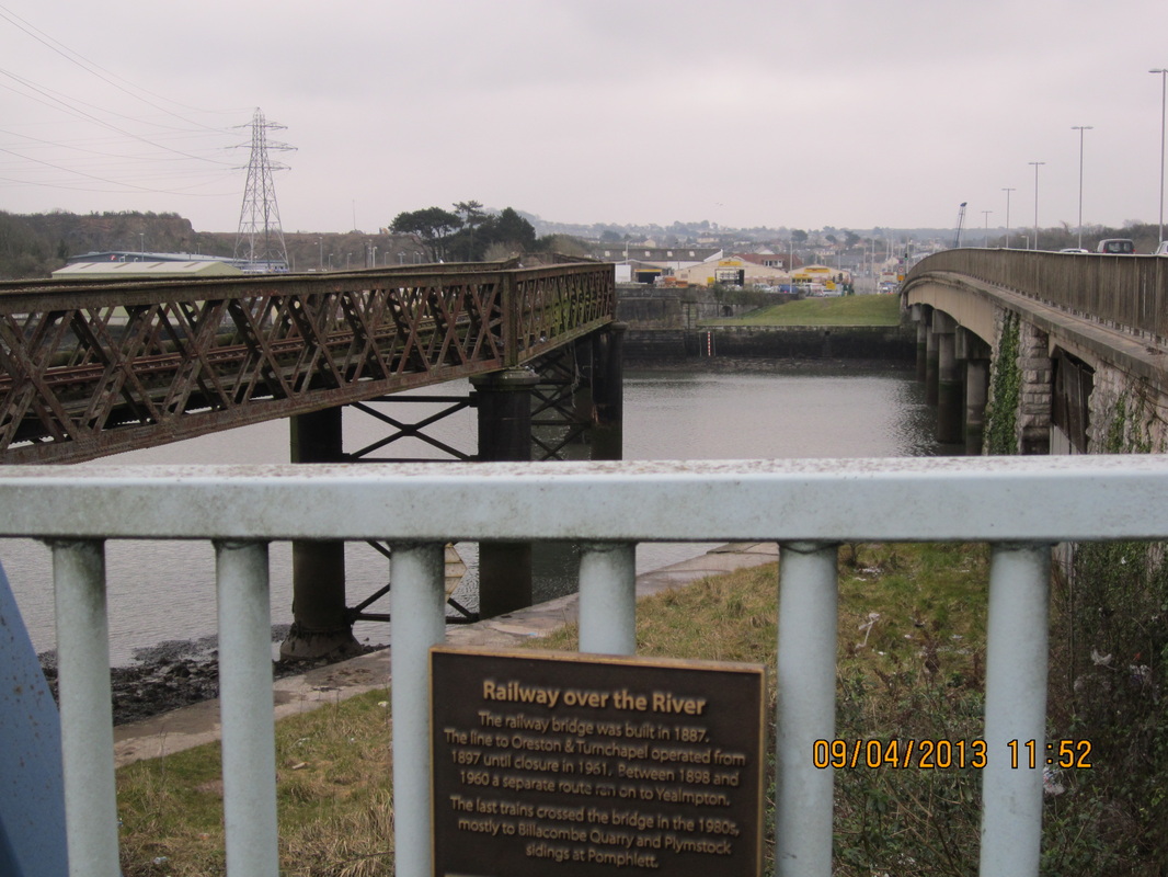
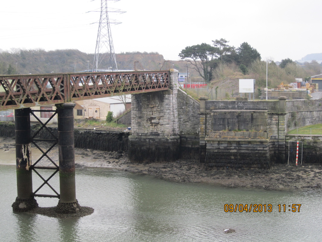
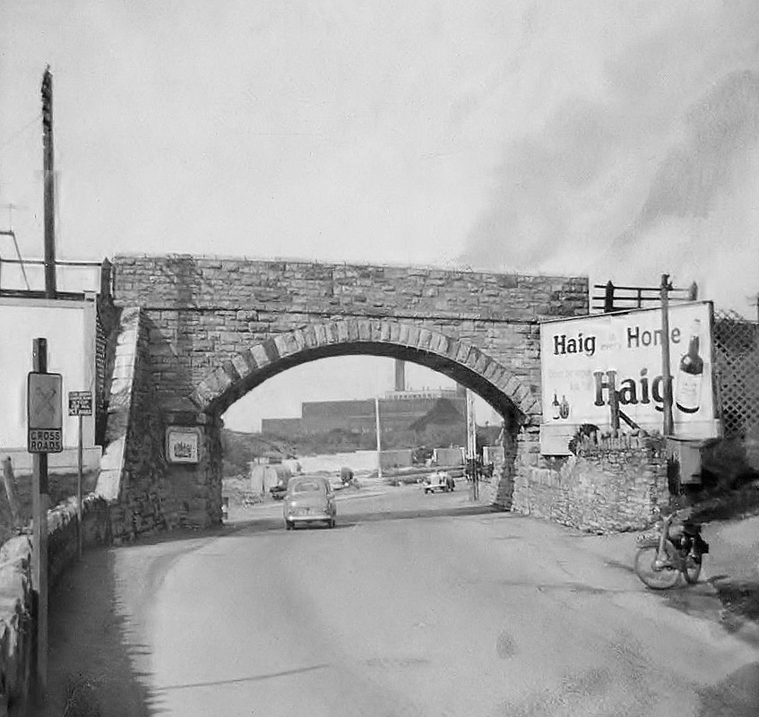
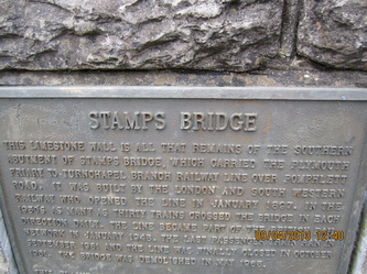
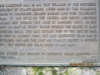
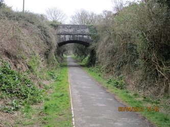
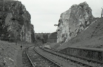
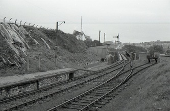
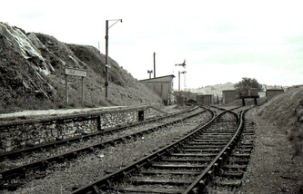
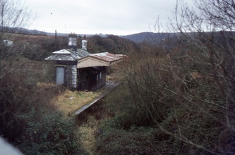
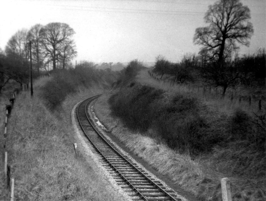
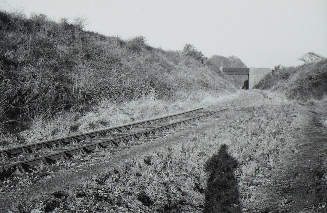
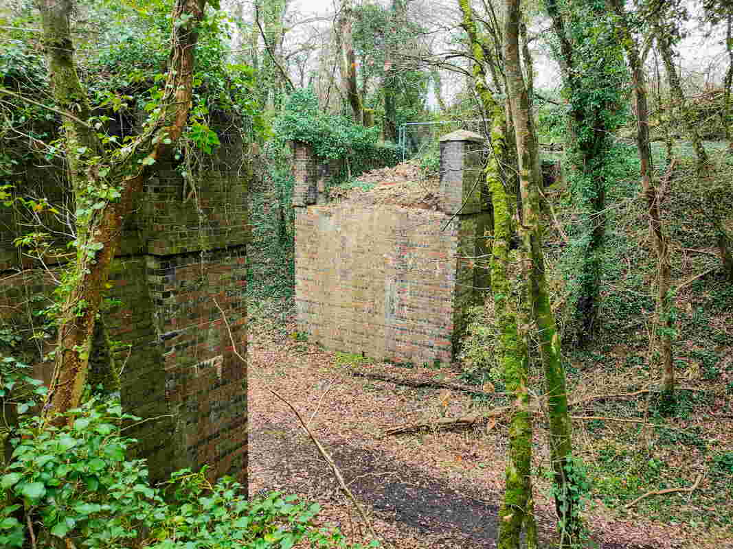
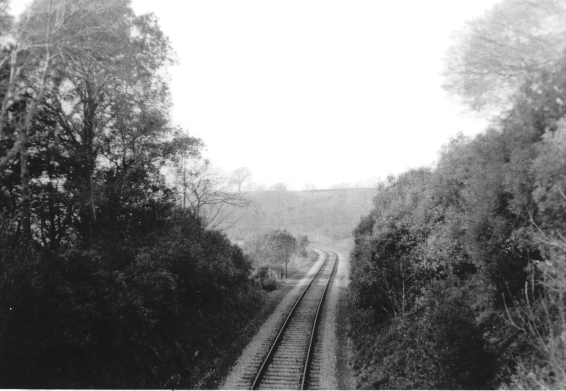
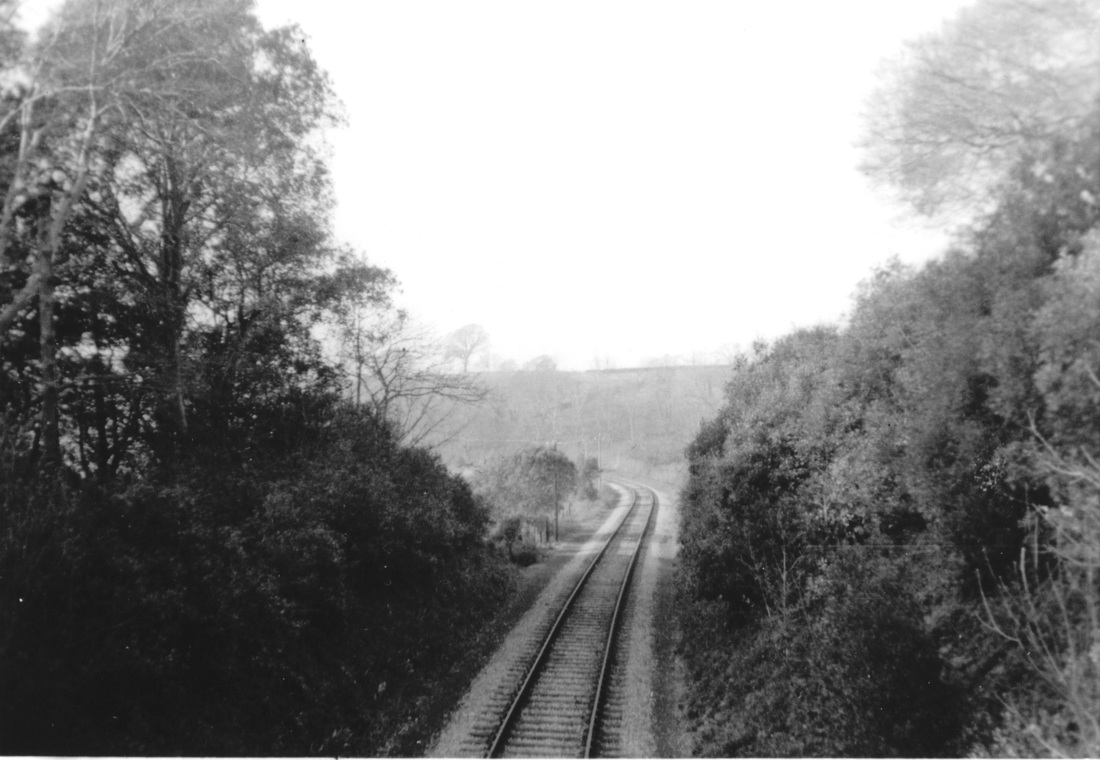
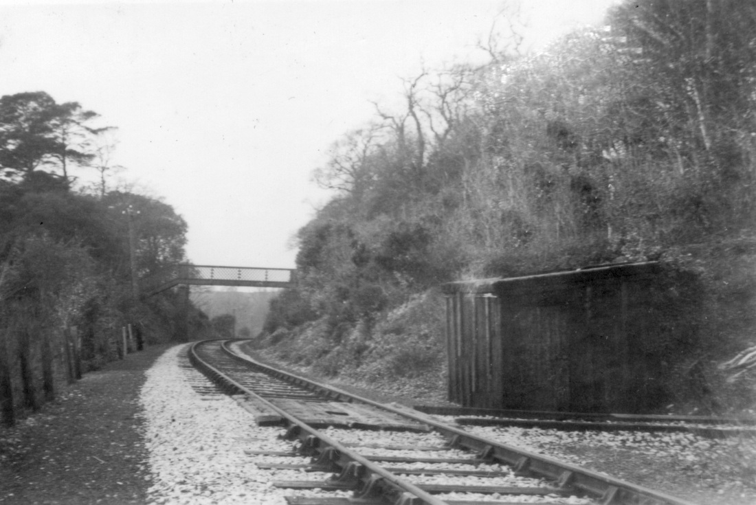
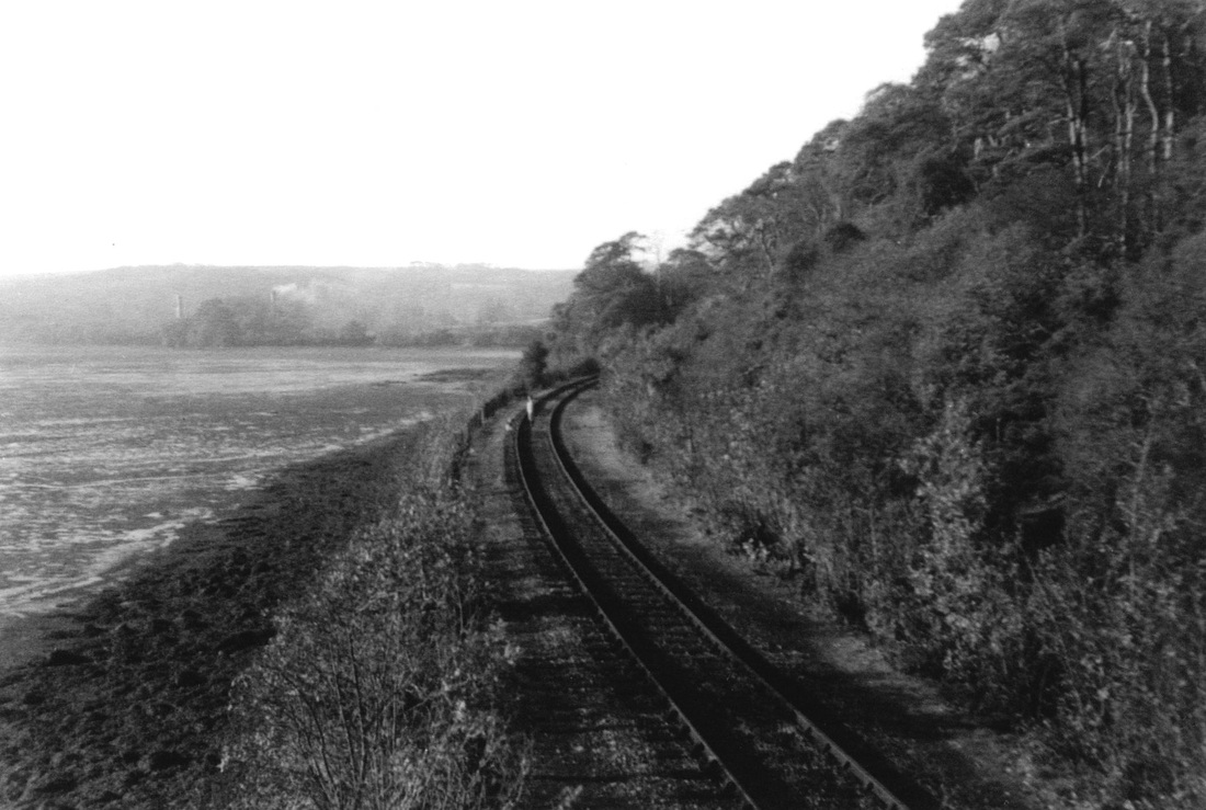
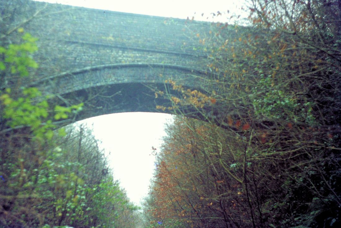
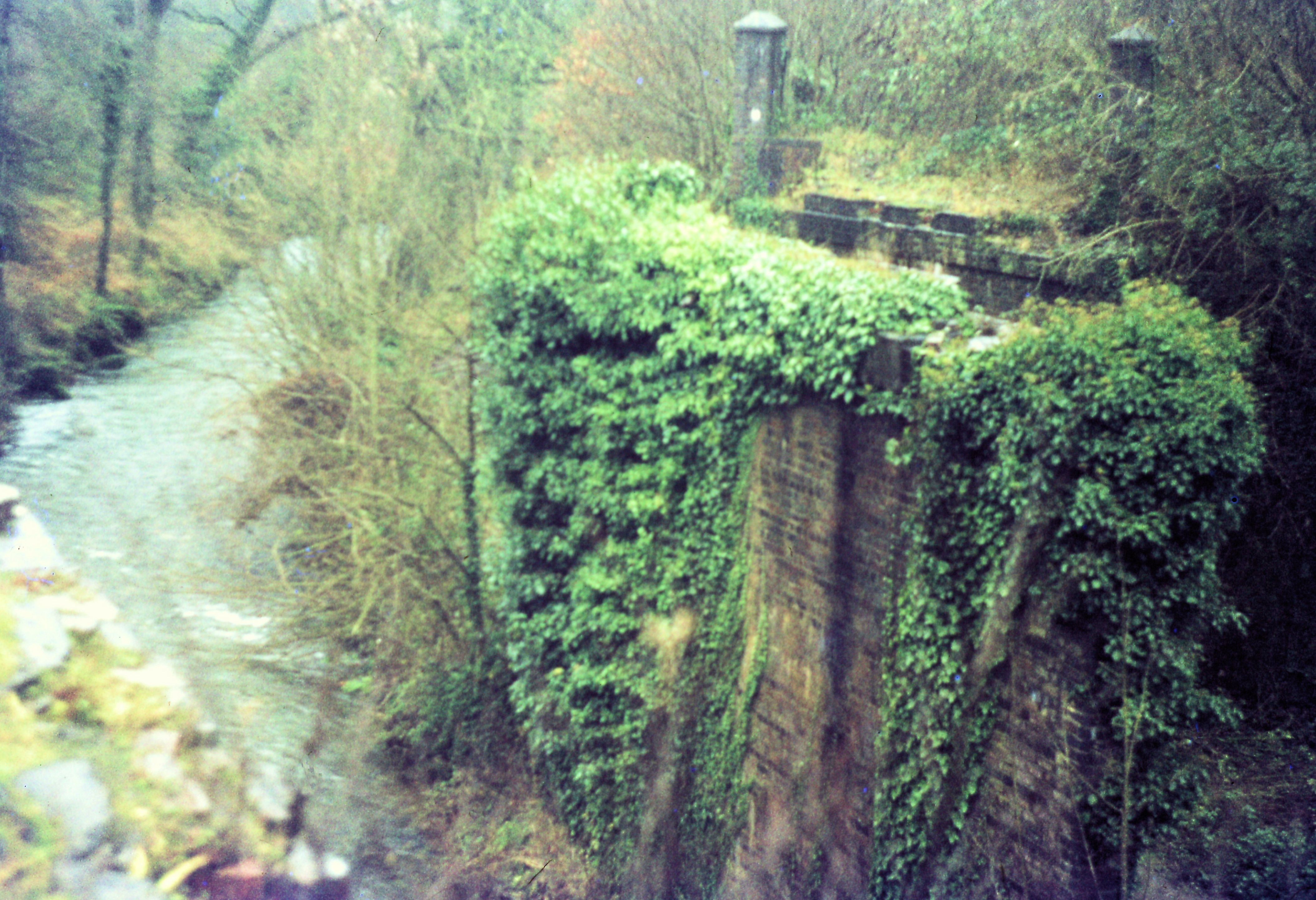
From Plymstock the Turnchapel branch veered across the valley to head in a generally southerly direction towards Oreston, finally curving south west for the run into Turnchapel. Nothing remains of the embankment which the line crossed Phomphlett Road by a substantial bridge. At the southern end of this embankment there was a smaller bridge over Stamps Road, only the very much reduced walls of the abutment survive but the location is commemorated by a plaque. The line then plunged into cutting before emerging to approach Oreston Station, a bridge over this cutting still remains. See below.
For more pictures of this branch look at the farewell steam railtour 30th September1961
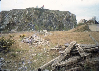
For extremely interesting material concerning the Turnchapel Quarry site read on.
I , KJ, received the following from Dave Adams on the 9th May 2017:-
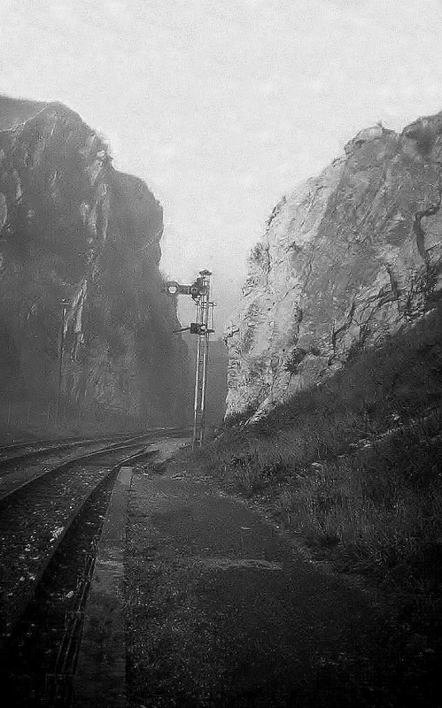
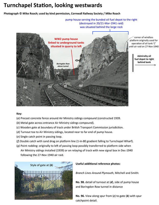
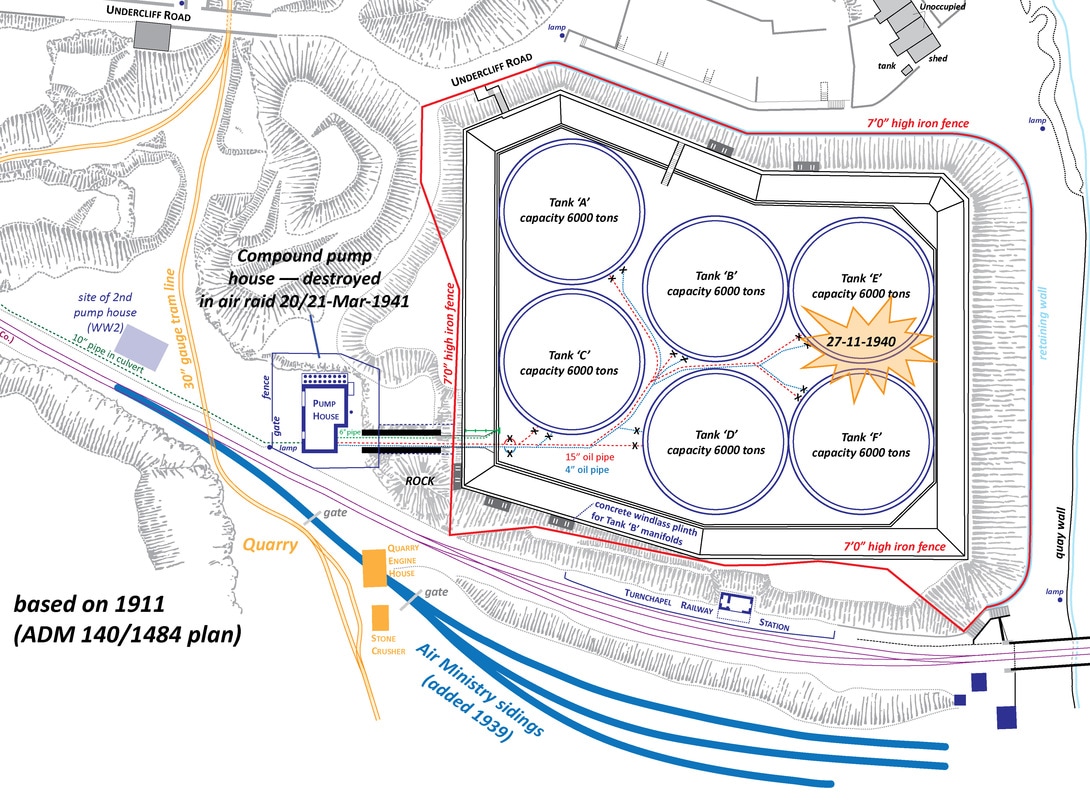
As part of an RMWeb discussion thread (http://www.rmweb.co.uk/community/index.php?/topic/118820-turnchapel-branch/page-3), I have been trying to contribute detailed site survey information for anyone with an interest in the Turnchapel Station site and surrounds.
In connection with that, I was wondering whether Mike Roach and the Cornwall Railway Society would kindly allow me to post an annotated version of one of Mike’s Turnchapel photographs that appears on the CRS website.
What can we say but that we are delighted to assist and honoured to be able to offer the link above which will lead readers to a mine of detailed information. Please take a look at the link, you will find it very worthwhile. There are few stones left unturned with regard to Turnchapel once you have read the contents of the rmweb link.
Many thanks indeed to Dave Adams for his valuable contribution to our website.
Turnchapel Wharf Re-visited
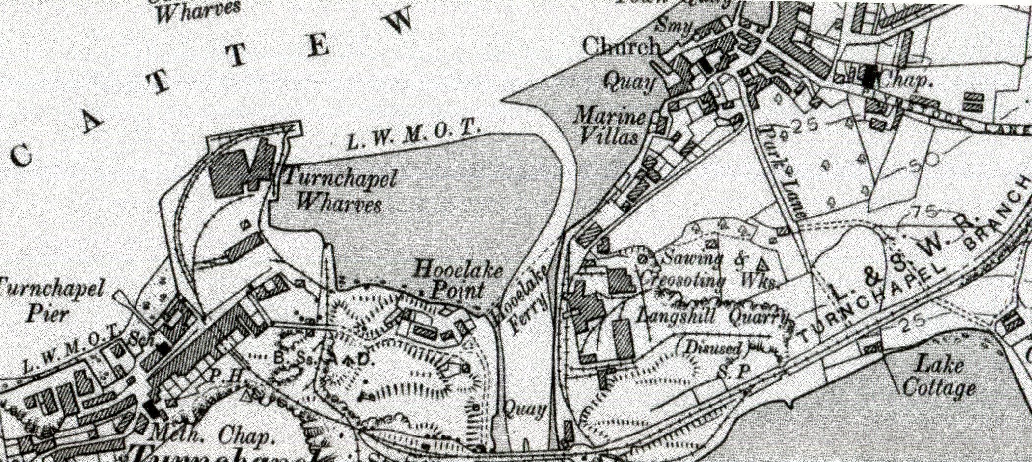
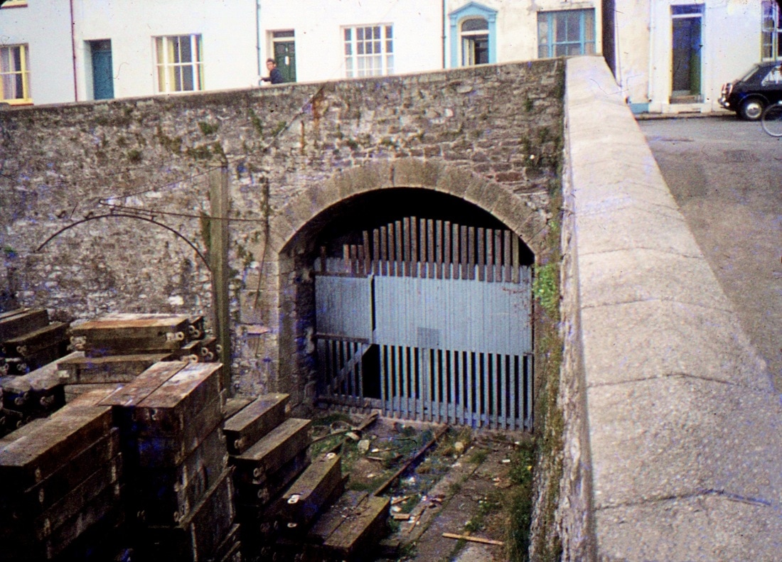
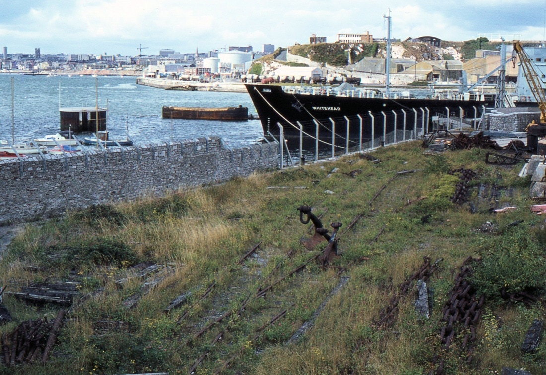
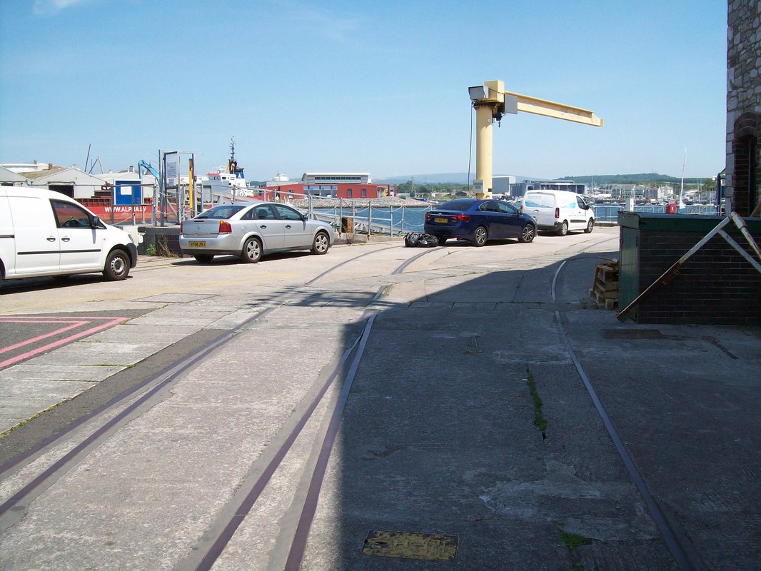
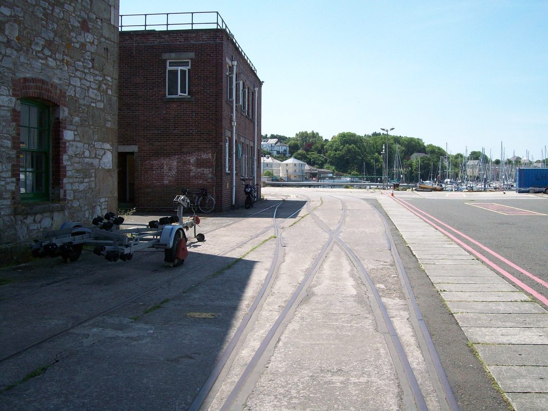
Any place prohibited to the general public is always more interesting than open spaces and the former MOD Wharf at the extreme end of the Turnchapel branch is such a place. A railtour 'The Devon Rambler' visited it on the 11th April 1959 and was in fact the only passenger train ever to have visited the wharf passing through the tunnel under Boringdon Road to get there. You'll find excellent pictures of this railtour in 'The Turnchapel Branch' by Anthony R Kingdom pages 60 & 61.
On the 31st March 1973 the late Ivor Hocking took a small party in his car on a tour of Plymouth Railways. When we arrived in the area we quickly found the wharf and a look over the wall alongside Boringdon Road gave us a view of the Wharf, however, in those days of very high security we daren't take a picture of the wharf.
However, KJ took his life in his hands and scaled the wall and walking along the top of which alongside a lane got a very quick shot of the tunnel entrance. Later, in 1975, Roger Winnen got another shot of the area but not from the top of the wall..
However, KJ took his life in his hands and scaled the wall and walking along the top of which alongside a lane got a very quick shot of the tunnel entrance. Later, in 1975, Roger Winnen got another shot of the area but not from the top of the wall..
On one of the C.R.S. outings last year we visted the Turnchapel Wharf area . By this time the view over the wall from Boringdon Road was difficult made so by very effective fencing, Boringdon Road joins on to Barton Road as the roadway falls to more or less sea level. From Barton Road we found the entrance to the former MOD depot effectively blocked by massive card operated security gates. For fear of becoming prisoners we continued our walk - a view of the tunnel entrance was not going to be available to us!
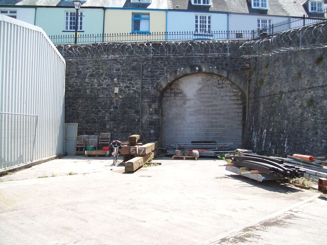
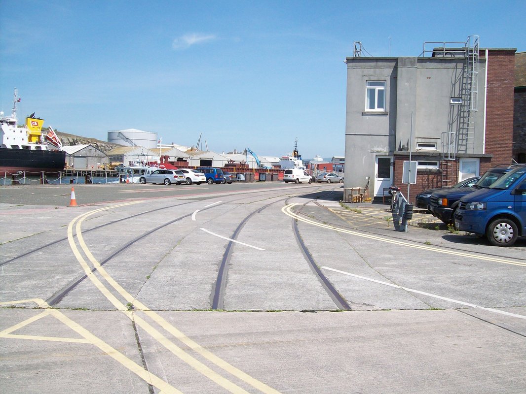
However, since then Colin Burges tells us that the area is no longer restricted and he has been in and taken pictures of the remaining embedded track work and also of the tunnel entrance now securely blocked up. Many thanks to Colin.
N.B. You can see this trackwork from 'aloft' by using Google Earth. Similarly explore using the facilities of the National Library of Scotland.
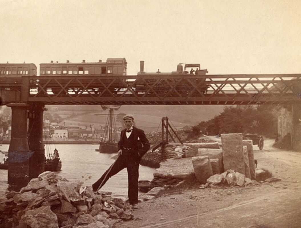
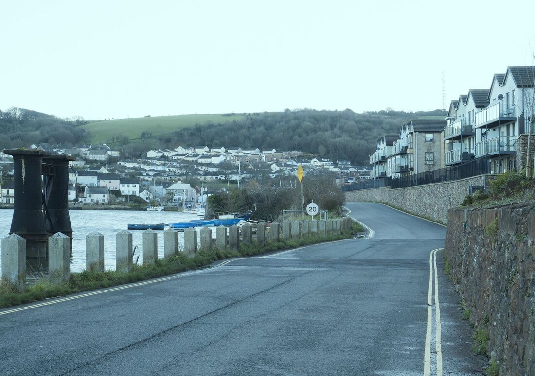
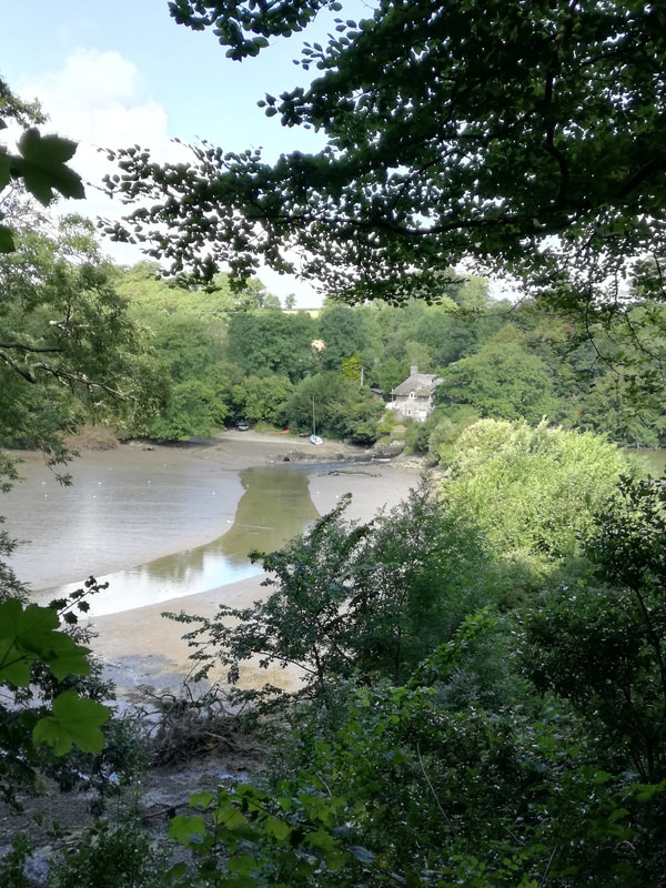
Old and recent views of Hooe lake and the Turnchapel Bridge.
Hi I post on some facebook groups regarding old Plymouth pictures and took a picture of the old Hooe rail line along with adding a picture when the line was in service. A chap called Chas Francis said you might be interested in the picture for your site. I am happy for you to use it. I've attached the image.
Regards Andy Smith.
Regards Andy Smith.
Many thanks to Chas Francis and Andy Smith
Part Three
The Yealmpton Branch
The Yealmpton Branch
THE YEALMPTON BRANCH Michael L. Roach
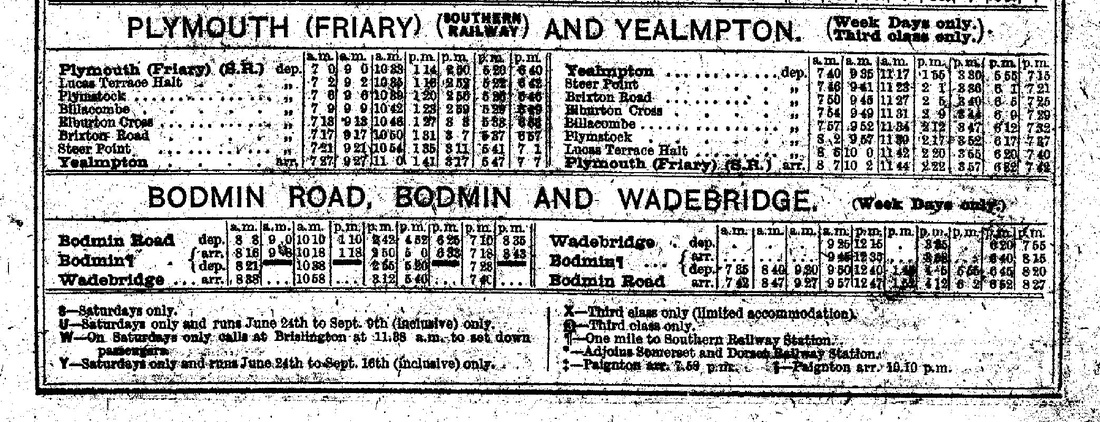
The Yealmpton Branch closed to passengers for the first time 90 years ago with the last trains running from Plymouth Millbay to Yealmpton on Saturday 5 July 1930. The withdrawal of passenger trains had been hastened by the arrival of the motor bus; however freight trains continued to serve the branch until 1960. However this was not the end as a passenger service from Plymouth Friary was reinstated from 1941 to 1947 to assist the war effort as there was an RAF station only a mile or two from the terminus. The 1929 passenger timetable shows 8 rail motor trains each way; and the trains took 35 – 38 minutes for the 10¼ miles from Millbay including 7 intermediate stops. The first station out of Yealmpton was at Steer Point 2¼ miles, beside the estuary of the River Yealm. Notes in the 1929 timetable indicate that Yealmpton was the station for Newton Ferrers (3½ miles) and that Steer Point had a steam ferry to Newton Ferrers (2 miles). The writer was born at Flete just 3 miles east of Yealmpton Station during World War Two and spent the first year or two of life living in a tiny cottage with a relative at Newton Ferrers which is south-west of Yealmpton because of the bombing of Plymouth.
The Yealmpton Branch closed to passengers for the first time 90 years ago with the last trains running from Plymouth Millbay to Yealmpton on Saturday 5 July 1930. The withdrawal of passenger trains had been hastened by the arrival of the motor bus; however freight trains continued to serve the branch until 1960. However this was not the end as a passenger service from Plymouth Friary was reinstated from 1941 to 1947 to assist the war effort as there was an RAF station only a mile or two from the terminus. The 1929 passenger timetable shows 8 rail motor trains each way; and the trains took 35 – 38 minutes for the 10¼ miles from Millbay including 7 intermediate stops. The first station out of Yealmpton was at Steer Point 2¼ miles, beside the estuary of the River Yealm. Notes in the 1929 timetable indicate that Yealmpton was the station for Newton Ferrers (3½ miles) and that Steer Point had a steam ferry to Newton Ferrers (2 miles). The writer was born at Flete just 3 miles east of Yealmpton Station during World War Two and spent the first year or two of life living in a tiny cottage with a relative at Newton Ferrers which is south-west of Yealmpton because of the bombing of Plymouth.
We thank Mike Roach for this note issued for use on the website news on the 5th July 2020 - the branch finally closed to Passengers on the 6th October 1947. and to goods on the 29th February 1962.
For other pictures of this branch on its last day got to Steam Railtours and look for 27th February 1960
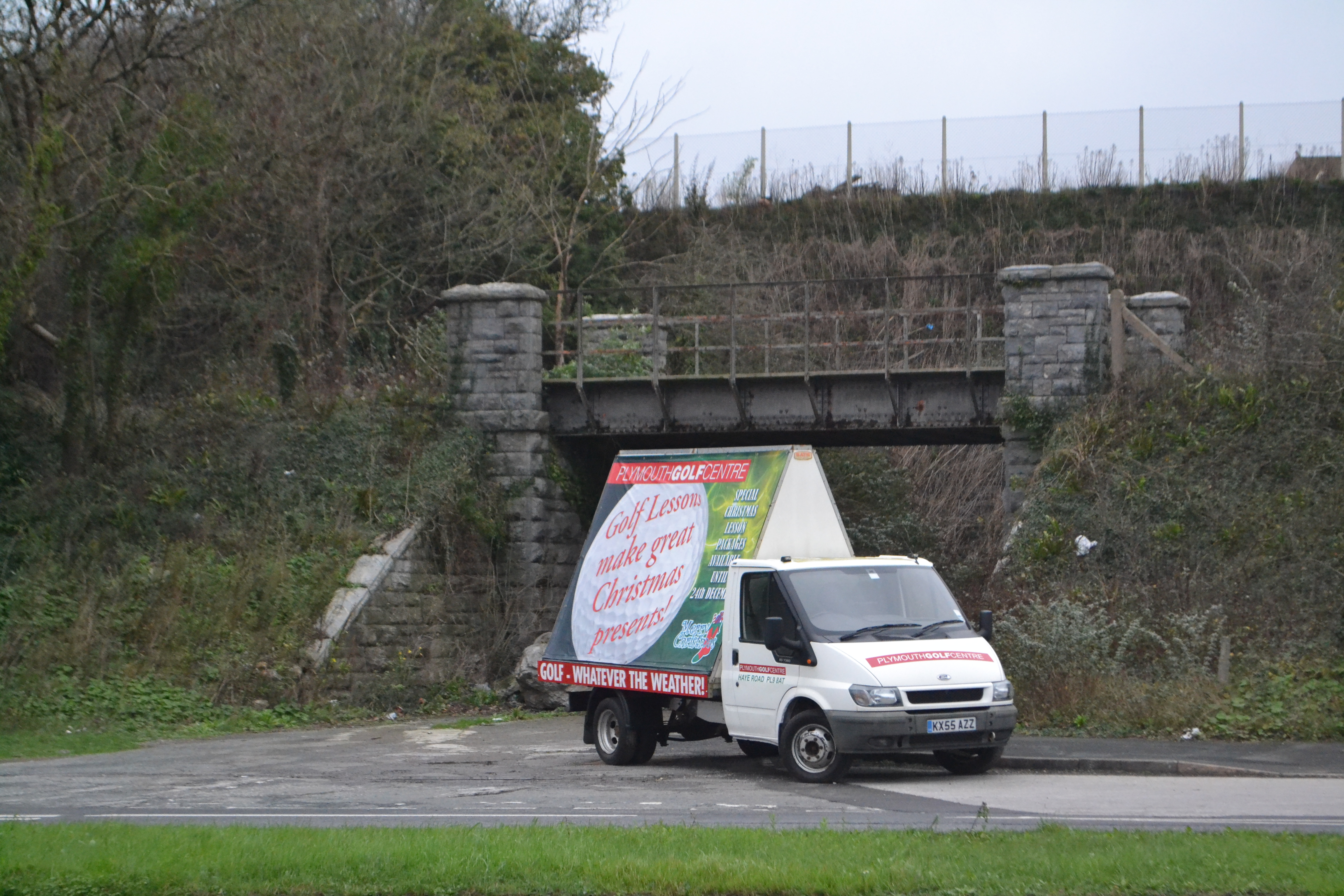
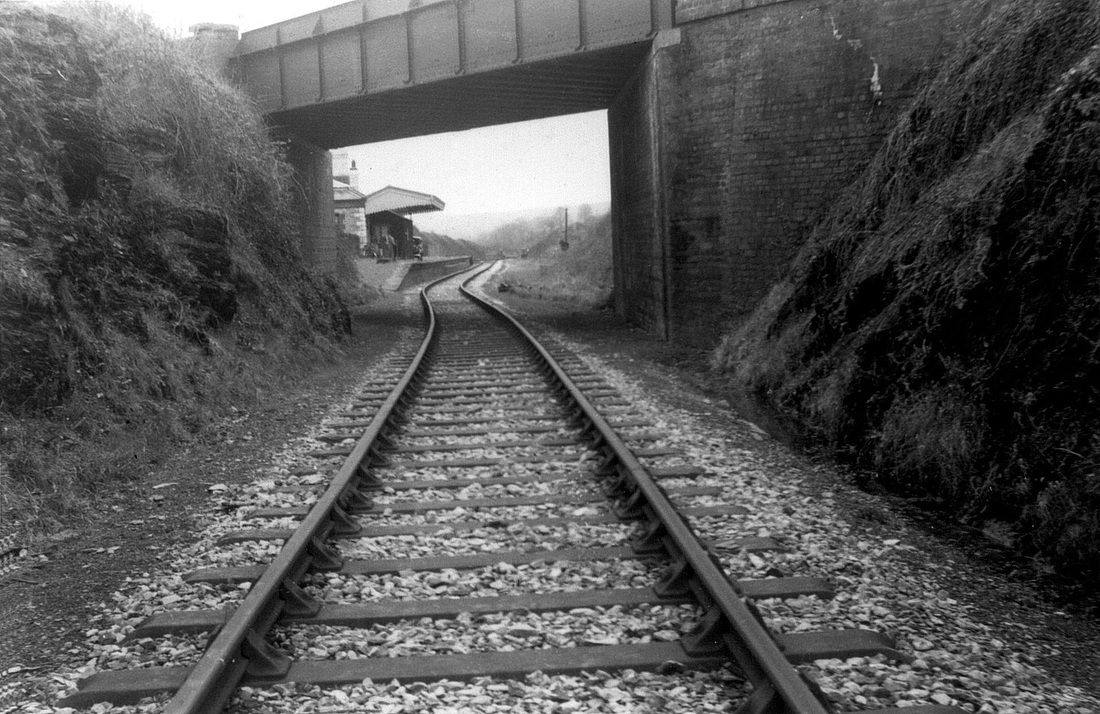
Just about 100 yards east of Plymstock station lies this girder bridge alongside Billacombe Road. Photographed on the 18th December 2015 Copyright Roger Winnen N.B. It is worthy of note that this bridge was last used on the 26th April 1987 when a weed killer train proceeded to the extreme end of the head shunt from Plymstock Yard. The train was hauled by 37 196 and the move was at the request of Bernard Mills - as recorded in his excellent book 'Back tracking around Laira, Friary and the Plym'. This was the only time a main line diesel has been on the Yealmpton branch and the closest a main line diesel has got to Yealmpton.
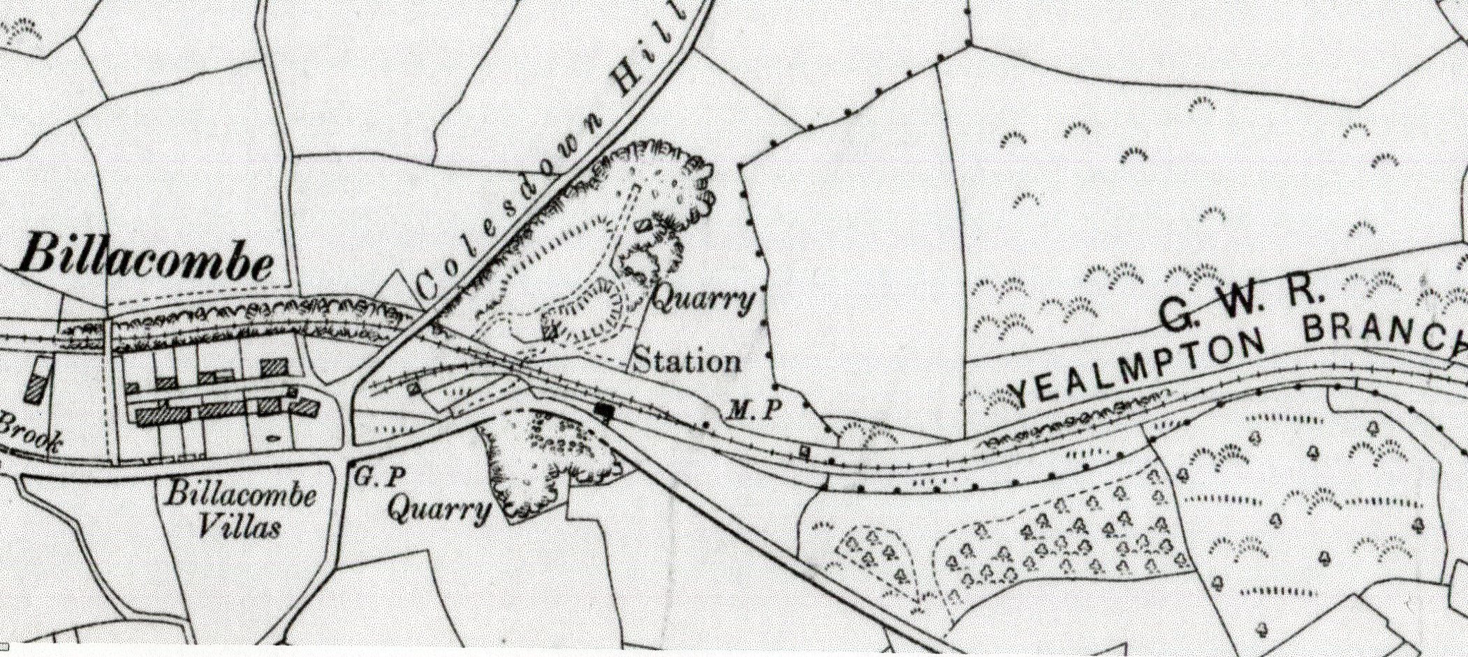
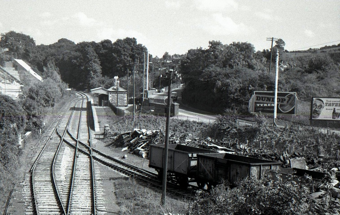
Billacombe
Elburton Cross
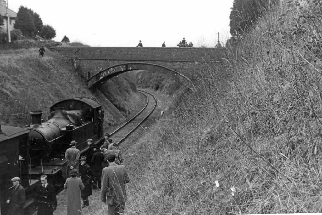
The PRC Yealmpton Branch Farewell Railtour of Saturday 27 February 1960 at Elburton. The train comprised 9 brake vans hauled by Prairie 4549. Small prairie 4549 was an inspired choice for this train. It had arrived at Laira, from Macynlleth, the very same month as the railtour. It was also one of the last to retain inside steam pipes. It was not the only 45XX to make the long trek from Machynlleth to the West Country as 4555 also made the same journey. From the Phil Doddridge Collection
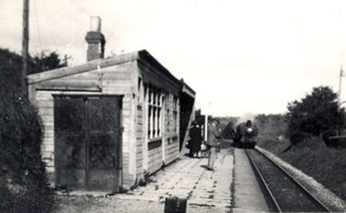
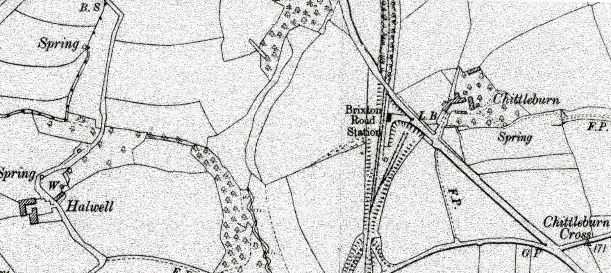
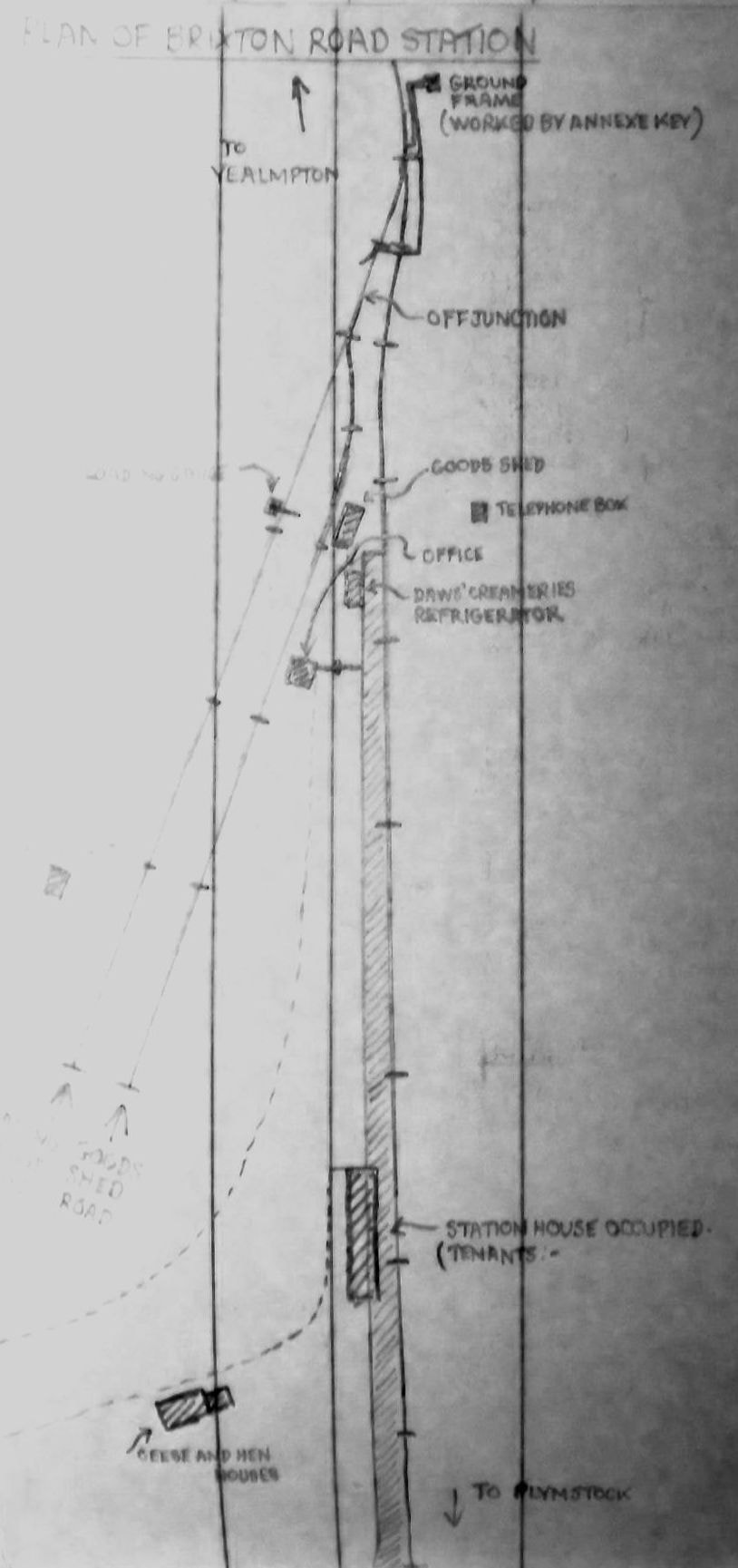
Brixton Road
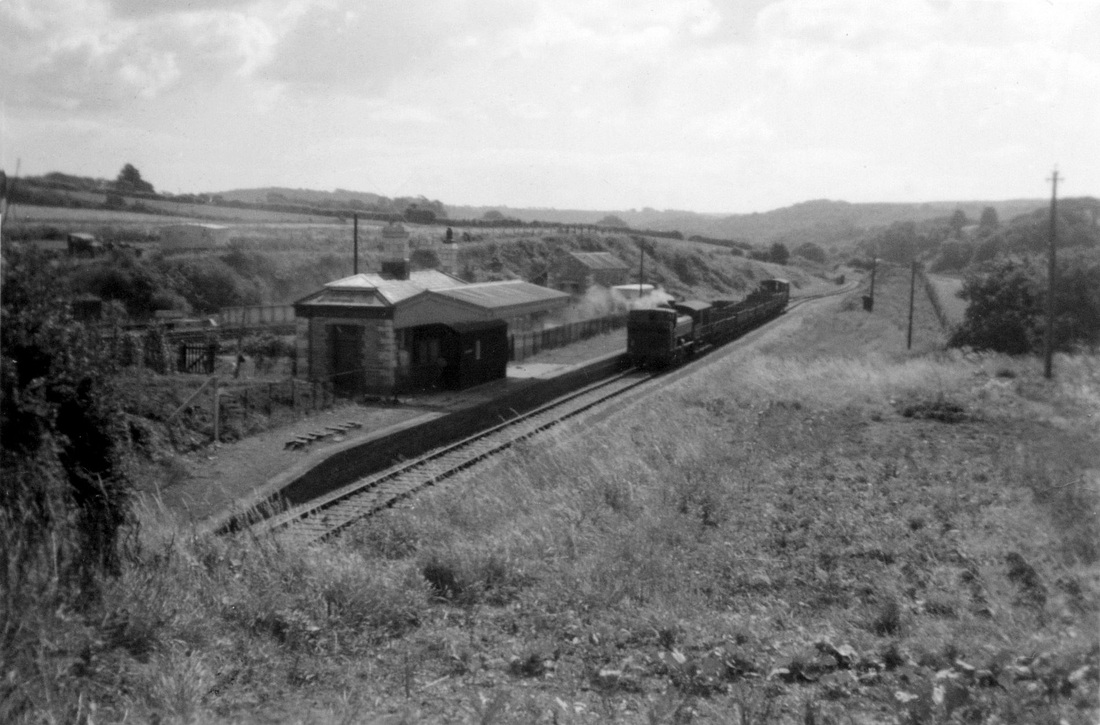
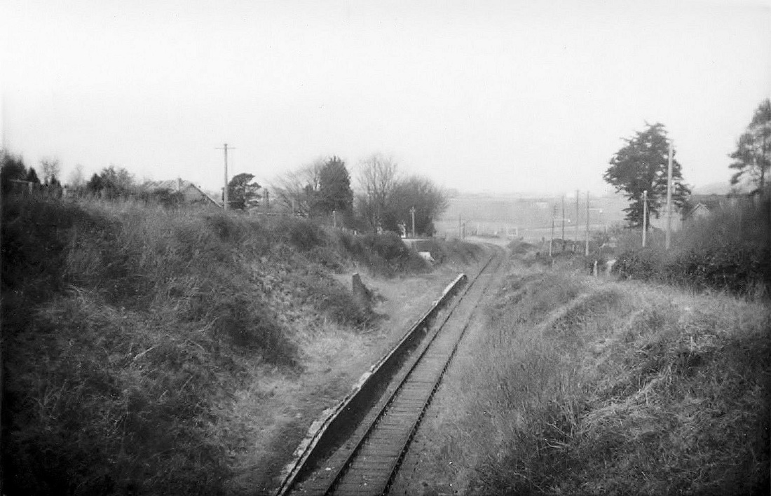
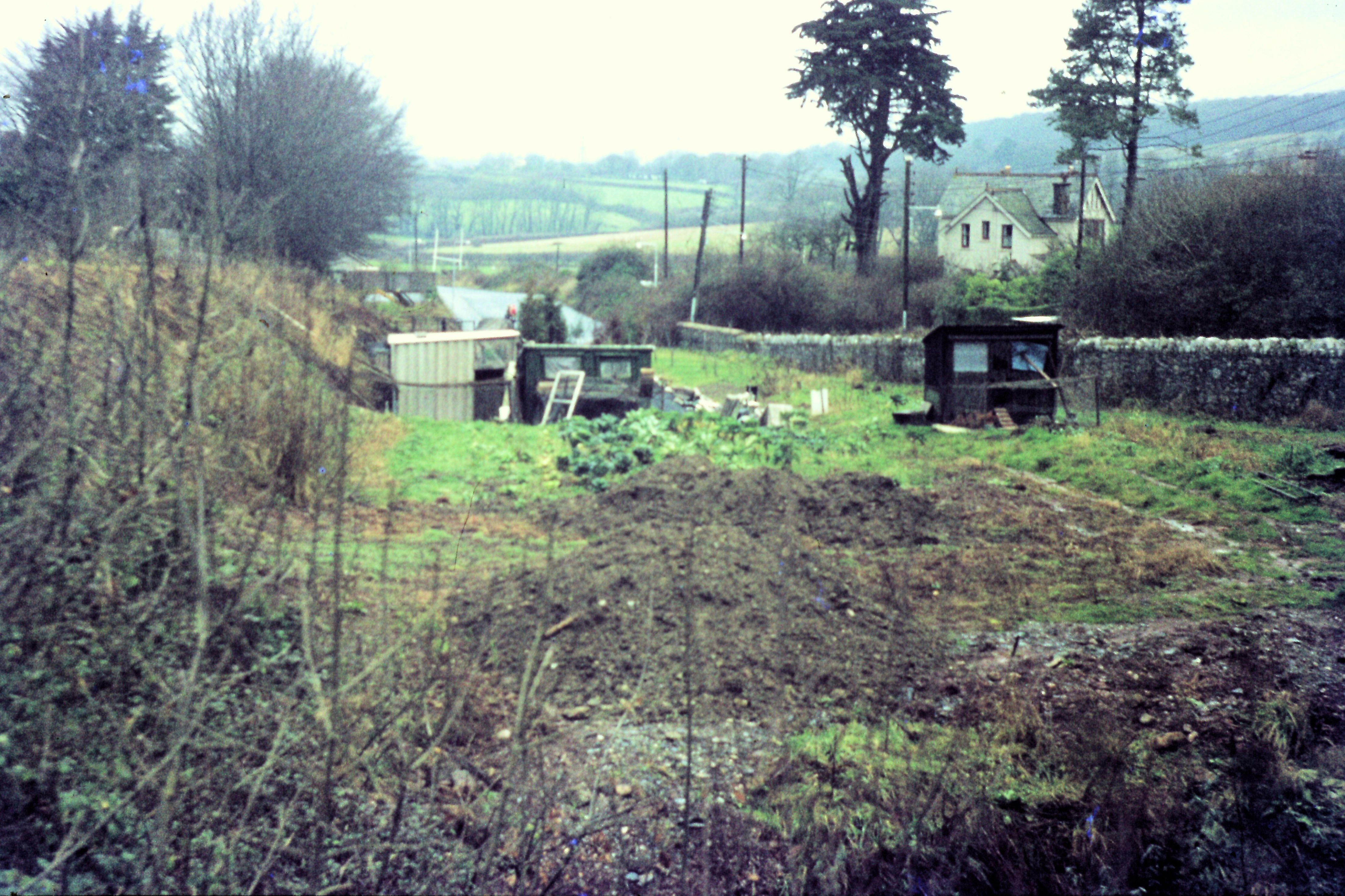
They stopped at Brixton Rd for a meal break. Would say this was about 1955. A note from Charles. This is train of empty grampus type wagons, which was a special which had been unloading ash on the embankment at Puslinch, about half a mile below Yealmpton. Also note the evidence of gardening activity in the foreground. Copyright Charles Fennamore
Hi, It was with great pleasure to come across the old photos of Brixton road station. My father ( Bill Clarke )was a locomotive driver with GWR, and took up residence at the station in the early 1950s. Dad was and still is an avid gardener and spent a lot of his spare time on the “allotment” or tending to the garden around the station. We had the privilege to witness the last passenger train to go through late fifty’s or early sixties. We left Brixton road in June 1962 to go to Nyasaland in central Africa. All our family now reside in West Australia. Thanks again……………Martin Clarke. Thank you Martin
Back in time to the daily freight pausing before shunting in the yard. If the freight called there, I was usually invited to go with them plus bike to Yealmpton; sometimes there was no work to be done but they would still stop to pick me up! It was a very personal, laid back set up with the train crews mostly getting on in years, and the Yealmpton run just right for their vintage! Story and Copyright Charles Fennamore
Steer Point
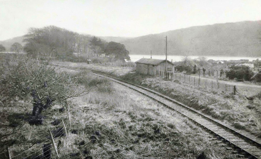
Steer Point Station was 4.25 miles from Plymstock Station and 8 miles from Millbay. A note in Bradshaw for 1922 says Steam ferry to Newton Ferrers (2 miles)
Steer Point Station was 4.25 miles from Plymstock Station and 8 miles from Millbay. A note in Bradshaw for 1922 says Steam ferry to Newton Ferrers (2 miles)
Steer Point - demolition
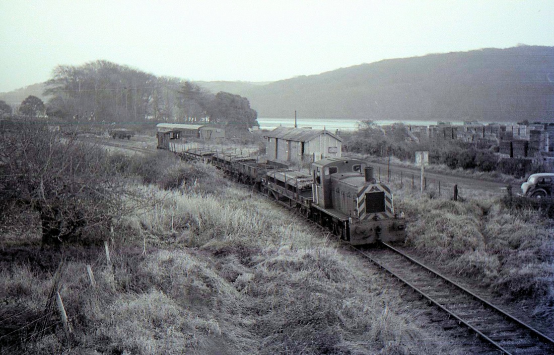
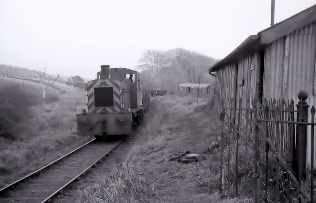
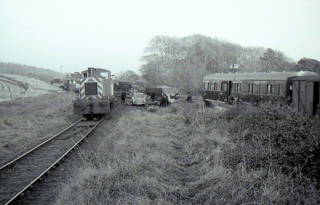
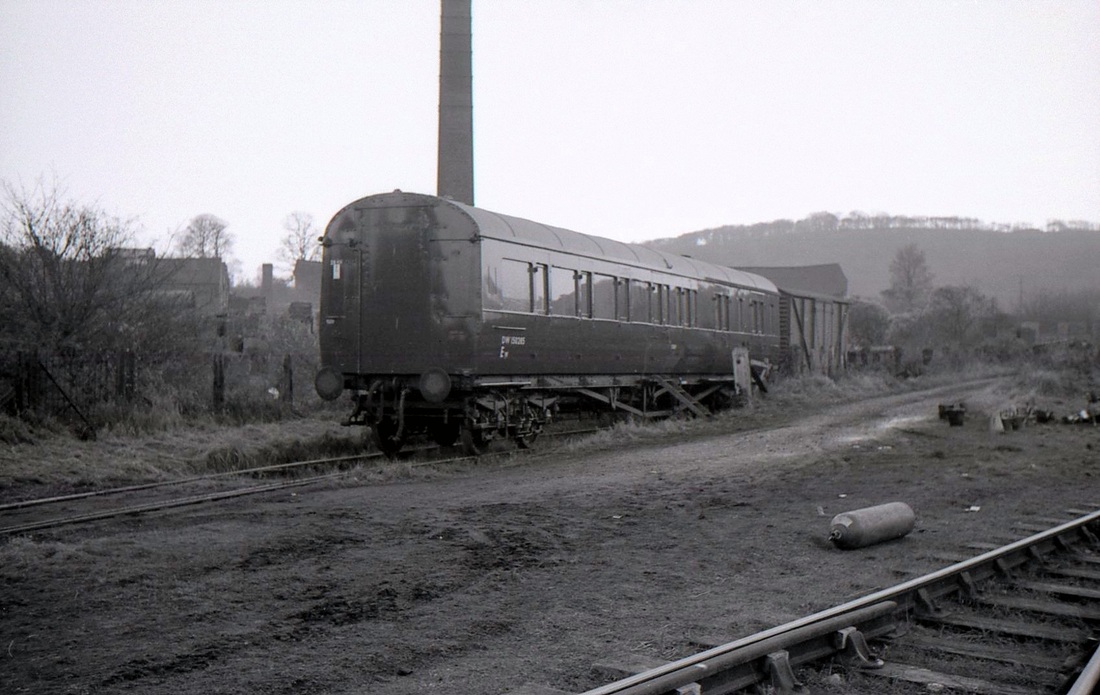
The final closure of the Yealmpton Branch came in February 1960. Three years later the track had gone. However the method of demolition was quite unusual and not seen anywhere else. The method was to set up a reclamation depot at each station in turn. The track panels were brought to the yard complete, and there they were broken up into their separate components, stacked, and later loaded into a daily train back to Plymouth.
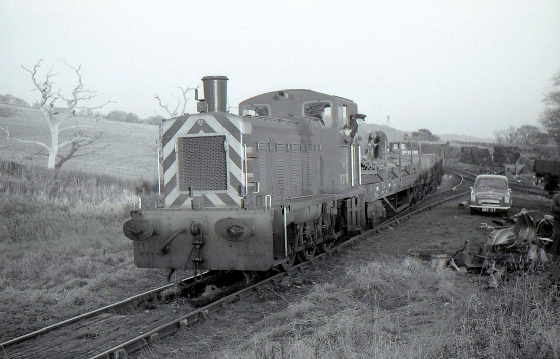
It was the method of getting the complete track panels back to the station yard that was unusual. Basically the last in-situ track panel was pulled out of the ballast by a combination of jacking, leverage and and towing by the diesel locomotive until the track panel was resting on the next length of in-situ track. it was then jacked up again and small steel wheels bolted onto the rails, so that the whole weight of the track panel was supported on rail wheels. The track panel was then towed back to the reclamation yard by the diesel shunter and broken up.
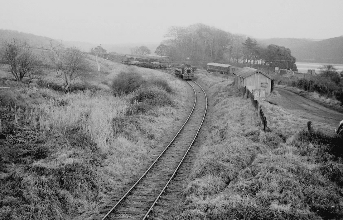
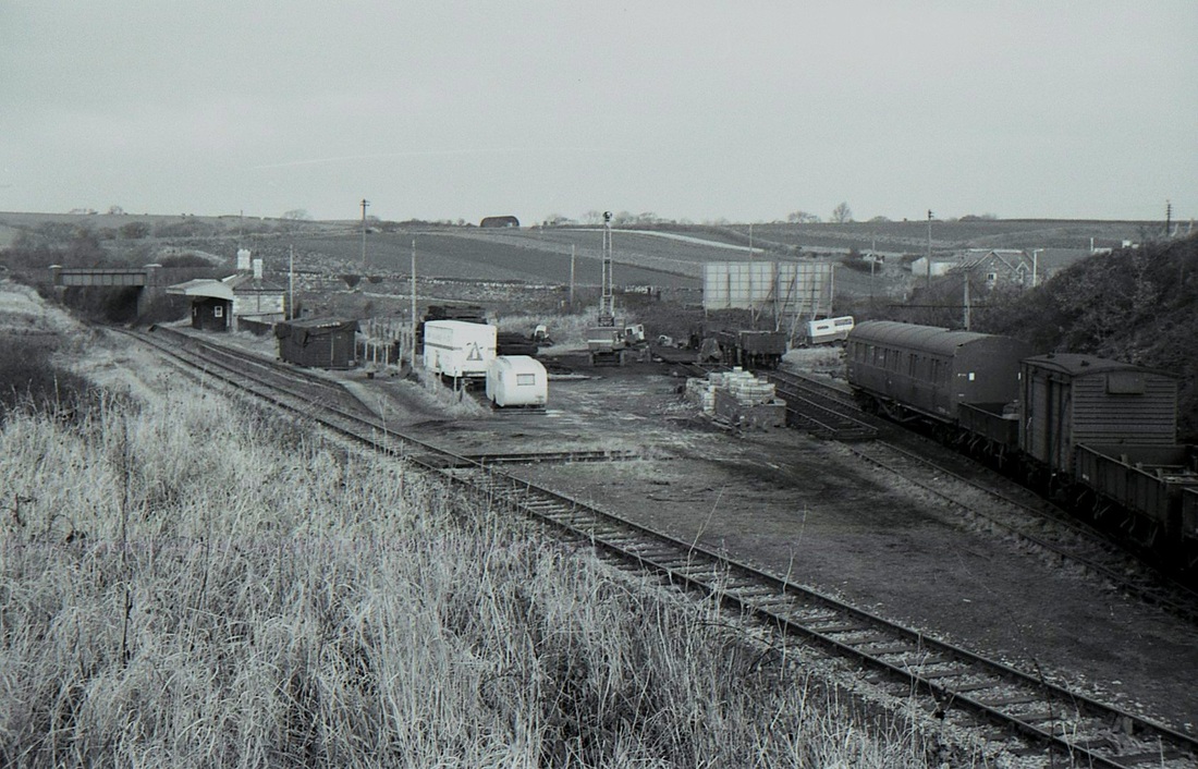
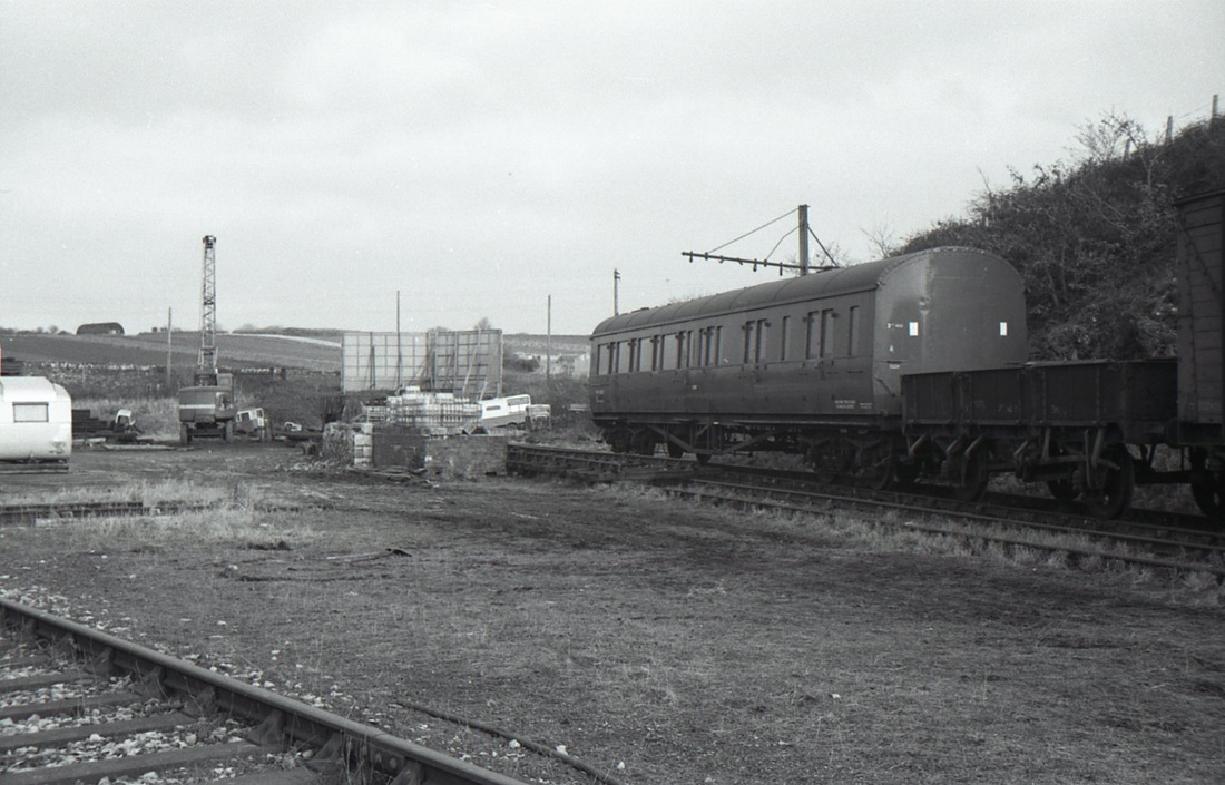
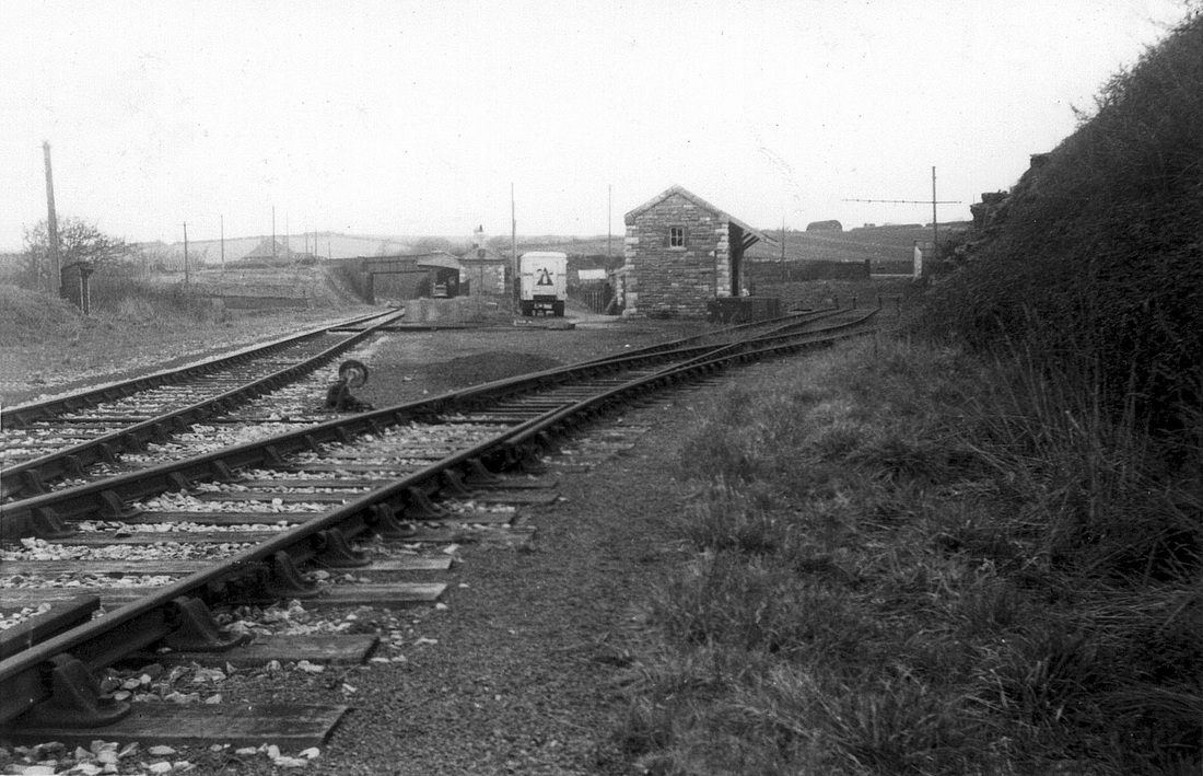
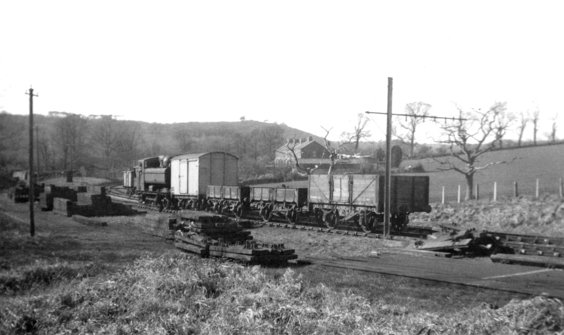
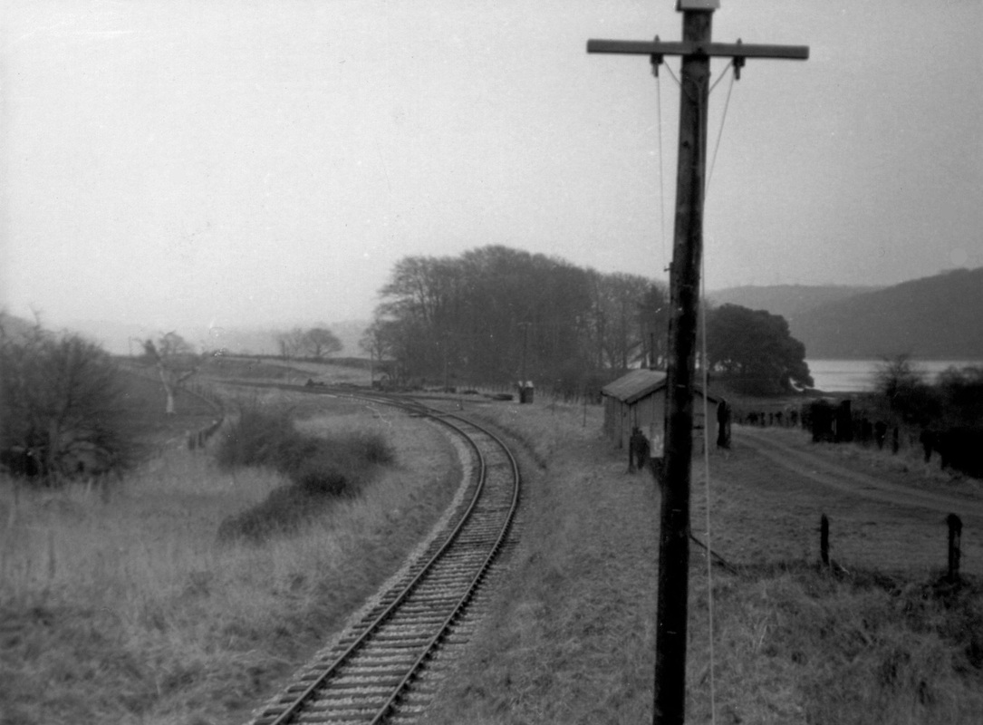
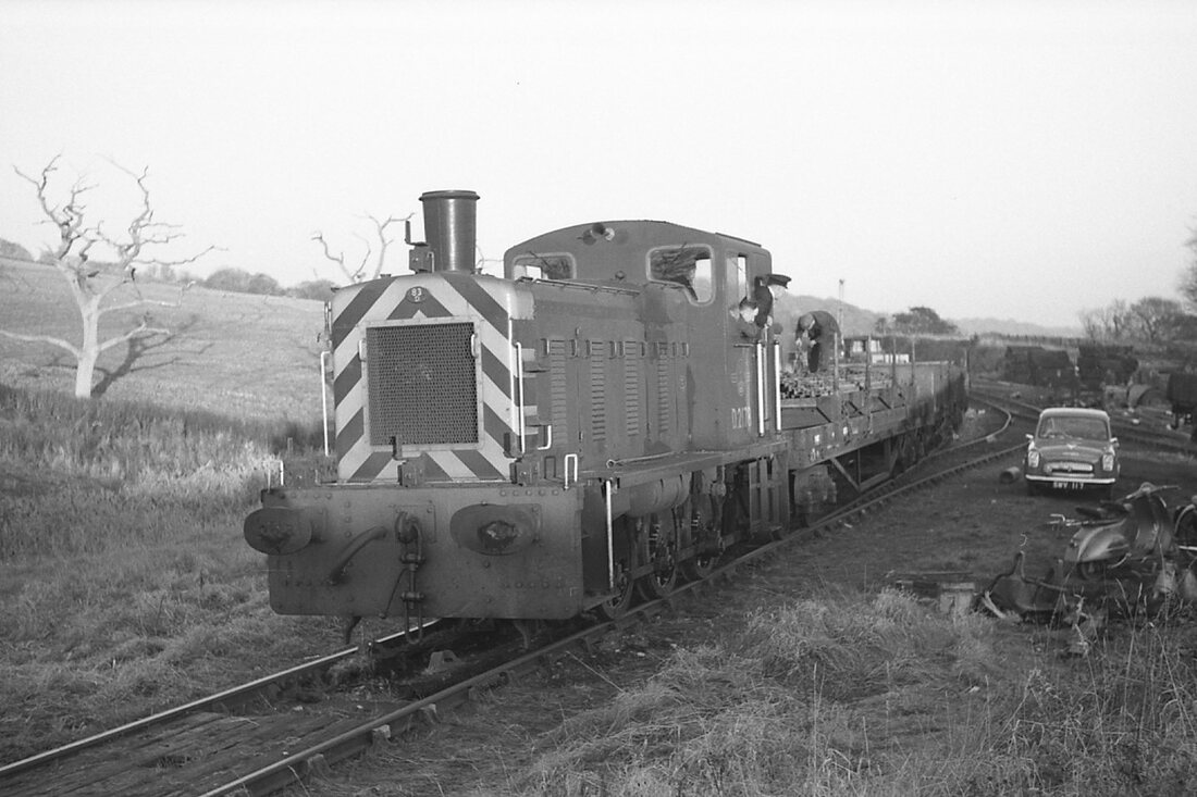
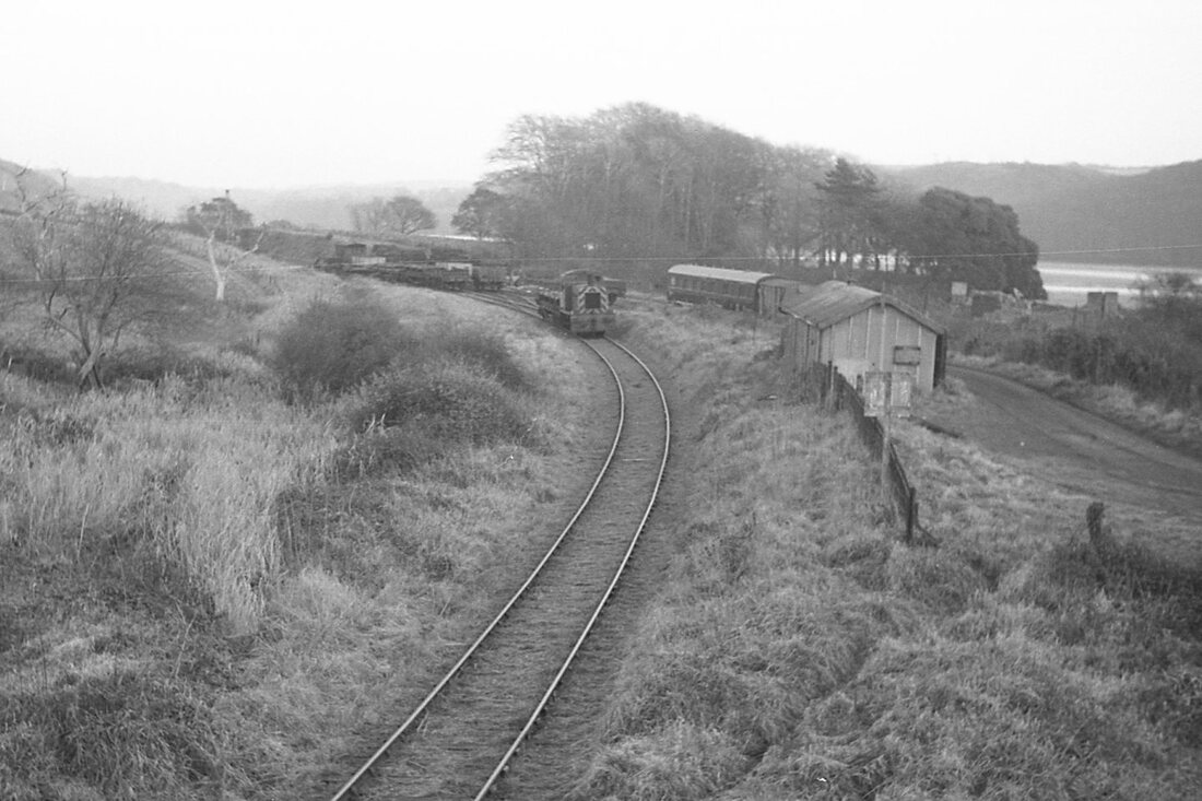
Steer Point. A general view. Note the delapidated station buildings and grass-grown track. To the right of the trees, near the piles of bricks was a small quay or landing stage. A boat would ply to and from Newton Ferrers when the tide was favourable to connect with the passenger trains. Nov 62 Copyright Mike Roach
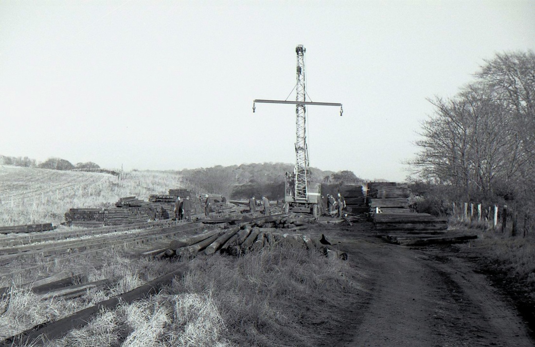
Steer Point station yard - looking east in the direction of Cylinder Bridge and Yealmpton. A demolished railway track makes mountains of materials to be re-used or melted down. Not just rails and sleepers, but chairs, fishplates and telegraph poles as well. The ballast is normally left in-situ. Here it was raked and levelled. Note the complete lack of hard hats and high-vis jackets. Nov62 Copyright Mike Roach
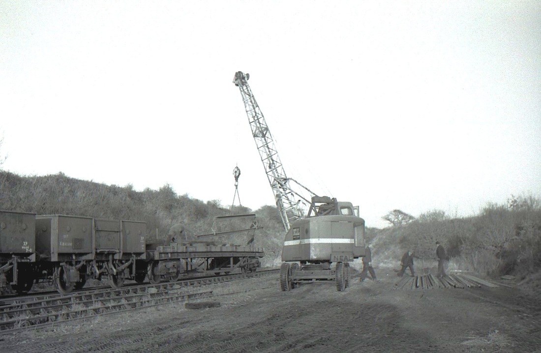
The rails being loaded onto a bogie bolster. They look like 45 foot lengths cut in half, so that they can be lifted by the relatively small crane. Most demolition teams used a much larger (crawler) crane standing on the ballast at the end of the track lifting direct into rail wagons. Nov62 - Copyright Mike Roach
Hi Keith,
A note to add to this section of the website.
The farm bridge over the railway to the east of Steer Point Station (between there and cylinder bridge) has been removed recently (after October 2020). It was a steel girder structure on masonry piers, which remain. It had been fenced off for some years, presumably being unsafe.
Cheers,
Paul Burkhalter This note received from Paul on the 26th January 2021l
Demolition of occupation bridge between Steer Point and Cylinder Bridge
Cylinder Bridge
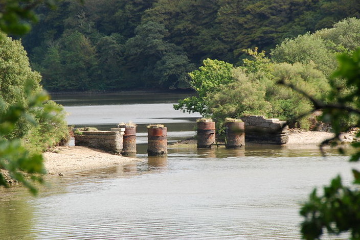
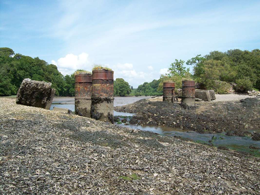
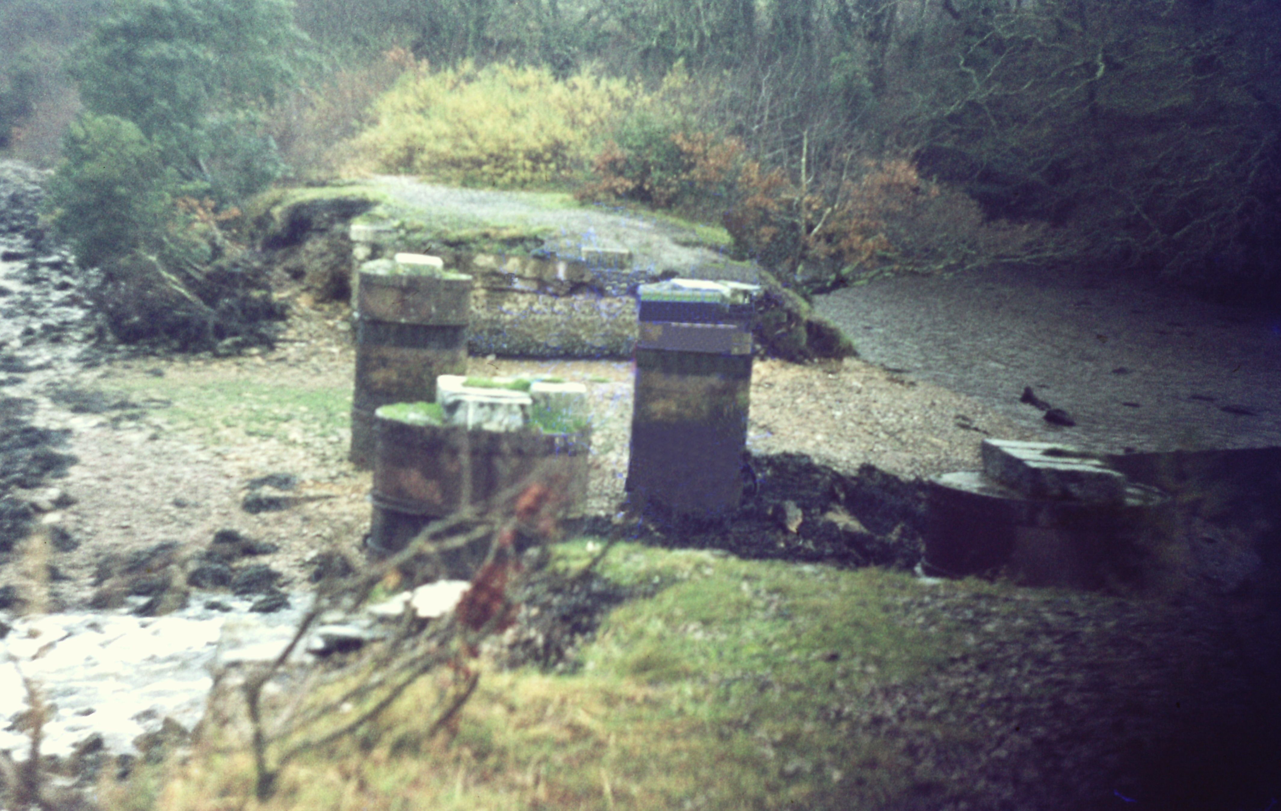
Beyond Steer Point lay a small creek spanned by approach embankments and a bridge mounted on cylinderical pillars - hence its name Cylinder Bridge.
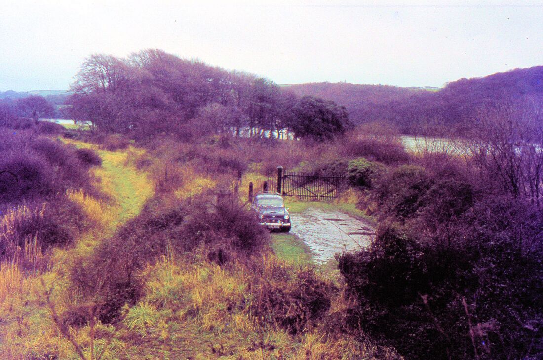
Colin Burges together with Bob Me Marchant visits Cylinder bridge in June 2017
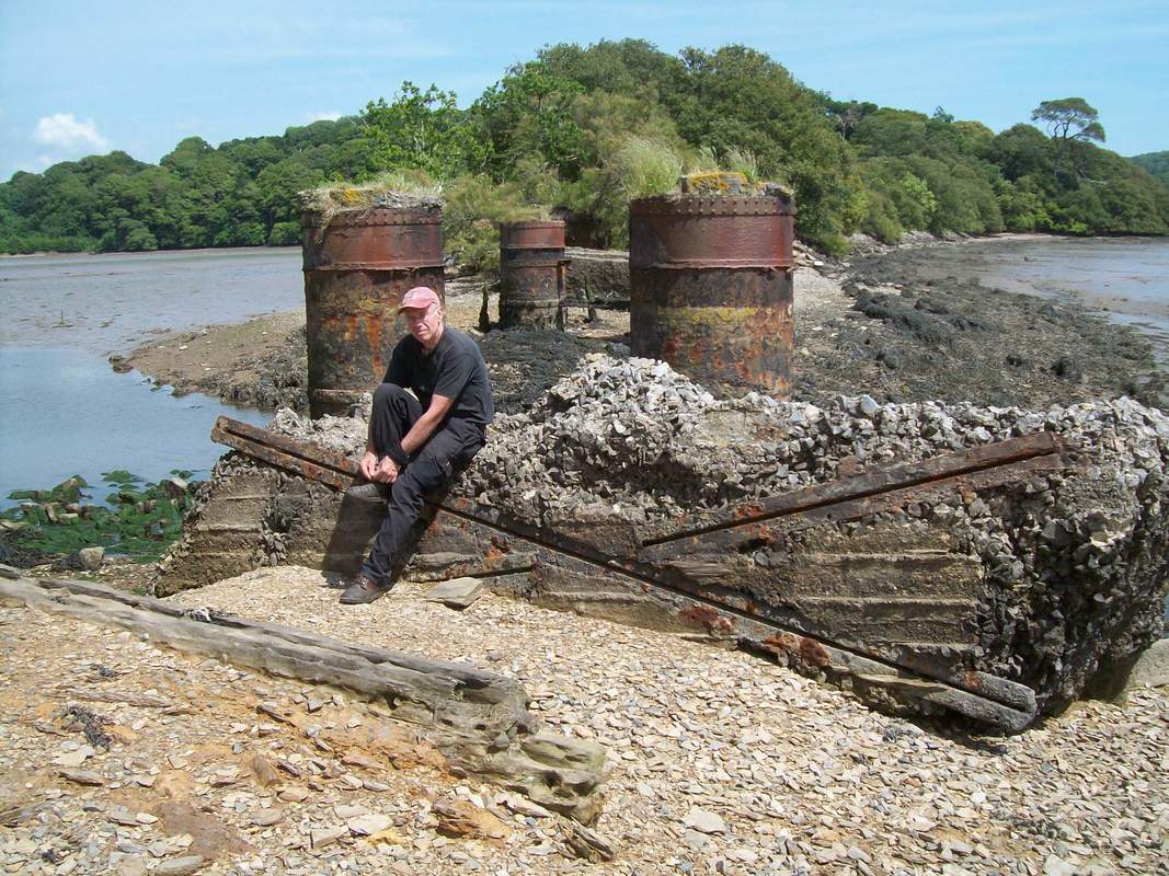
Bob Le Marchant ties his boots. Note the bridge rails forming crude reinforcement of the displaced concrete abutment. Mudbank Lake is at left and River Yealm at right. With a nod from the gamekeeper, we later followed the river down from Puslinch Bridge as far as Kitley Quay. June 2017 Copyright Colin Burges
Doing up his bootlaces and moaning about being dragged out on his bike with me last year on a route refresher of the Yealmpton Branch is a great friend of mine, Bob Le Marchant, . A veteran of South Crofty and a graduate of the Camborne School of Mines, Bob went to work in a South African gold mine where he managed an enormous underground operation. He drove his Willys Jeep across Africa when he returned home, later joining Robin Daniel and Pete Hughes in blasting the deviation tunnel on the Festiniog, opened in 1977. After that, he came back to Devon and opened the George & Charlotte Mine tramway at Morwellham Quay, eventually blasting through to New Quay. He ran the whole operation at Morwellham for many years, with early ambitions to make a spiral tunnel down to the hydro-electric station and reopen part of the line to Devon Great Consols. Today "retired," he still puts in a week every month with the "Rest of the World Gang" in North Wales and is otherwise busy on his own projects or those he is called in to assist because of his rare set of skills. He's always cheerful and always willing to help; I'm proud to call him my friend. In his 70th birthday card last year I wrote: "You're the engineer I wanted to be."
A story worth telling by Charles Fennamore
Cylinder bridge spanned a small narrowing creek the top end of which had been dammed off to form a fishing lake. This area was my playground as a kid, brought up at Brixton, and the path across the dam, the estate drive and the footbridge were a useful way of getting to Warren Point when it was 'unsafe' to walk along the railway line. Not unsafe because of trains, but because of the much feared Ganger or PW supervisor on the line, one Ed Macey, an alarming character with a cast in one eye, so that he always appeared to be looking away from you! He and the five man gang went up and down the line on a motor trolley, but he often patrolled on foot, and dealt ruthlessly with anyone found trespassing. I recall lots of small entries in the local paper where unfortunate individuals were fined £5 or so for 'trespassing on the railway between Steer Point and Yealmpton' I was lucky in being shown some tolerance as he was a drinking partner with my dad in the local pub, but even so he had a go at me one day when I landed our rowing boat on the foreshore near Cylinder Bridge, and was up-turning stones looking for crabs.....'leave those stones alone....they're part of the railway embankment' ! Walking across the dam and along the private drive weren't entirely without risk, as Kitley Estate staff or one of the estate family could be down there attending to the boat house and private swimming pool on the seaward side of the line a little bit further up towards Yealmpton. But the cottage at the end of the dam was unoccupied for years, so no problems there. You used to be able to walk right down the lane from Brixton to the foreshore, and as kids we used to swim there and jump off the wall by the out-flow when the tide was in. But I see now that all that area has been cordoned off and 'privatised'.
I think its all become much more overgrown since the 70's, but some of the Brixton Rd - Elburton stretch has been turned into a cyclway. There are plans to extend it through to Yealmpton, but lots of resistance from Kitley Estate.
The line to Steer Point and beyond Cylinder Bridge towards Yealmpton.
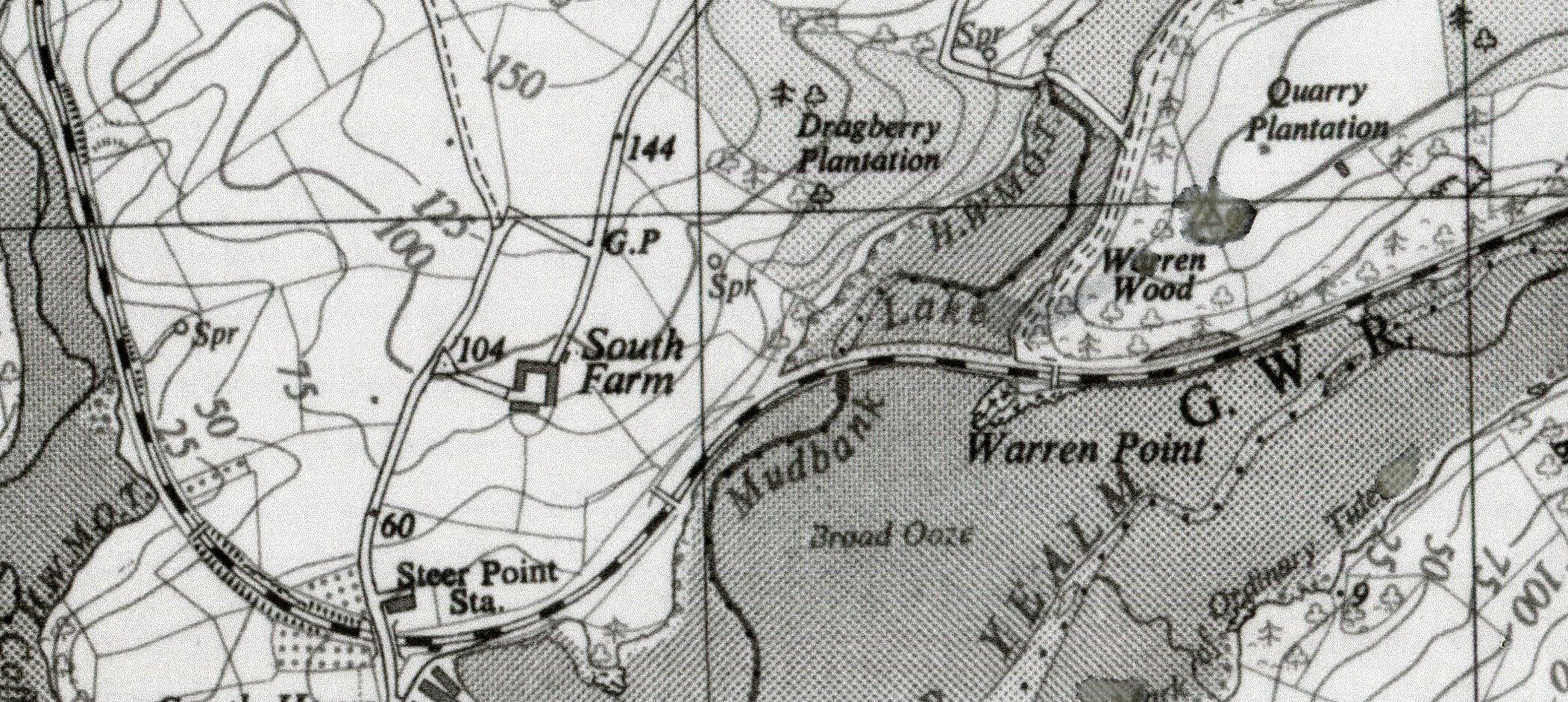
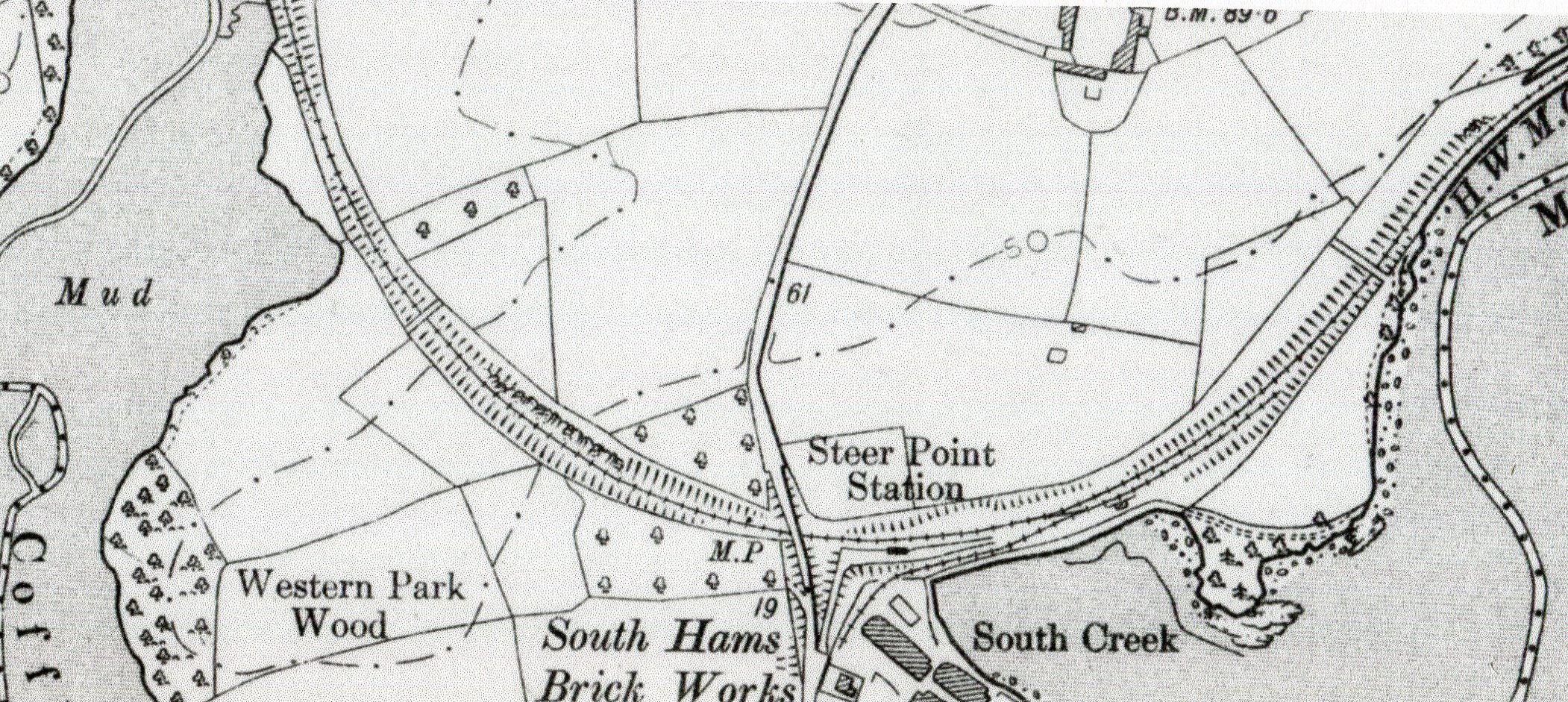
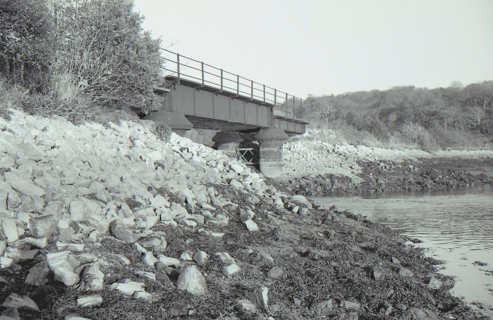
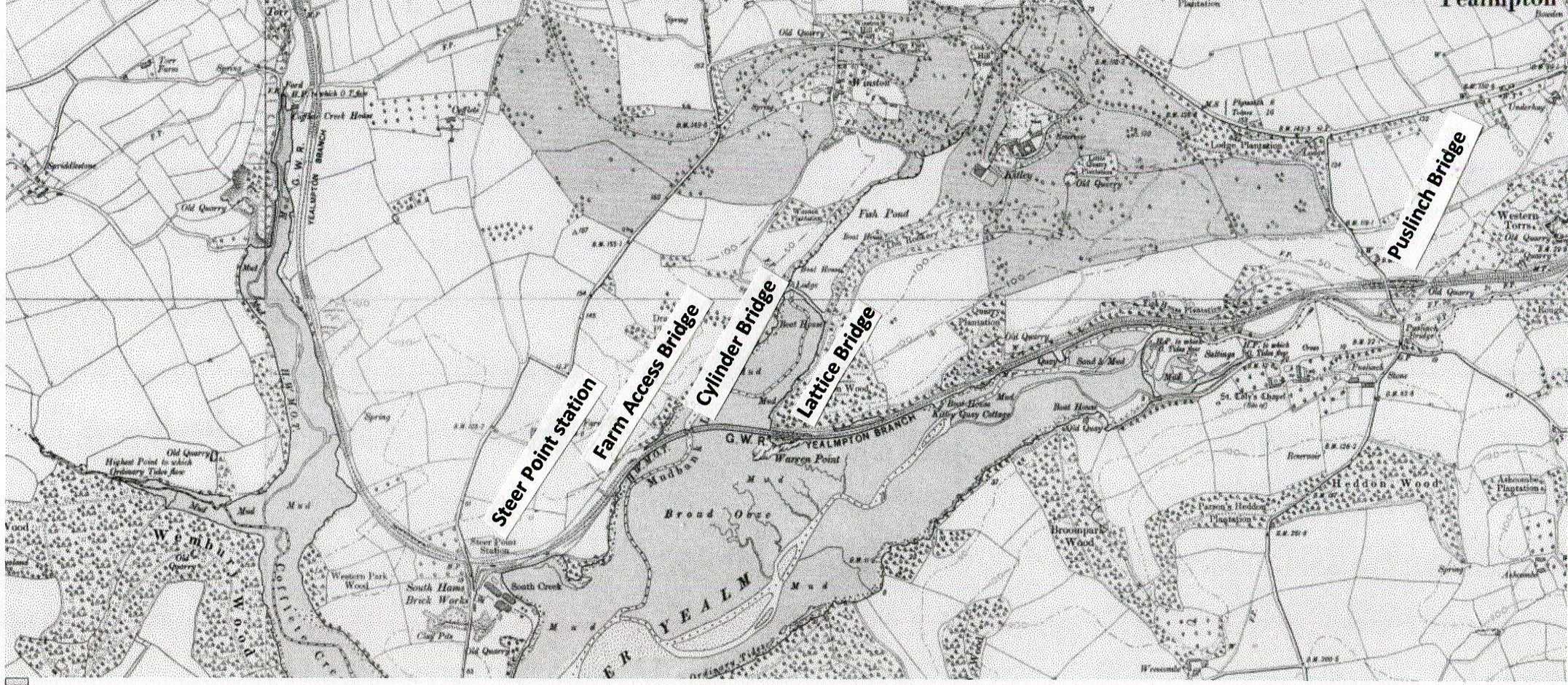
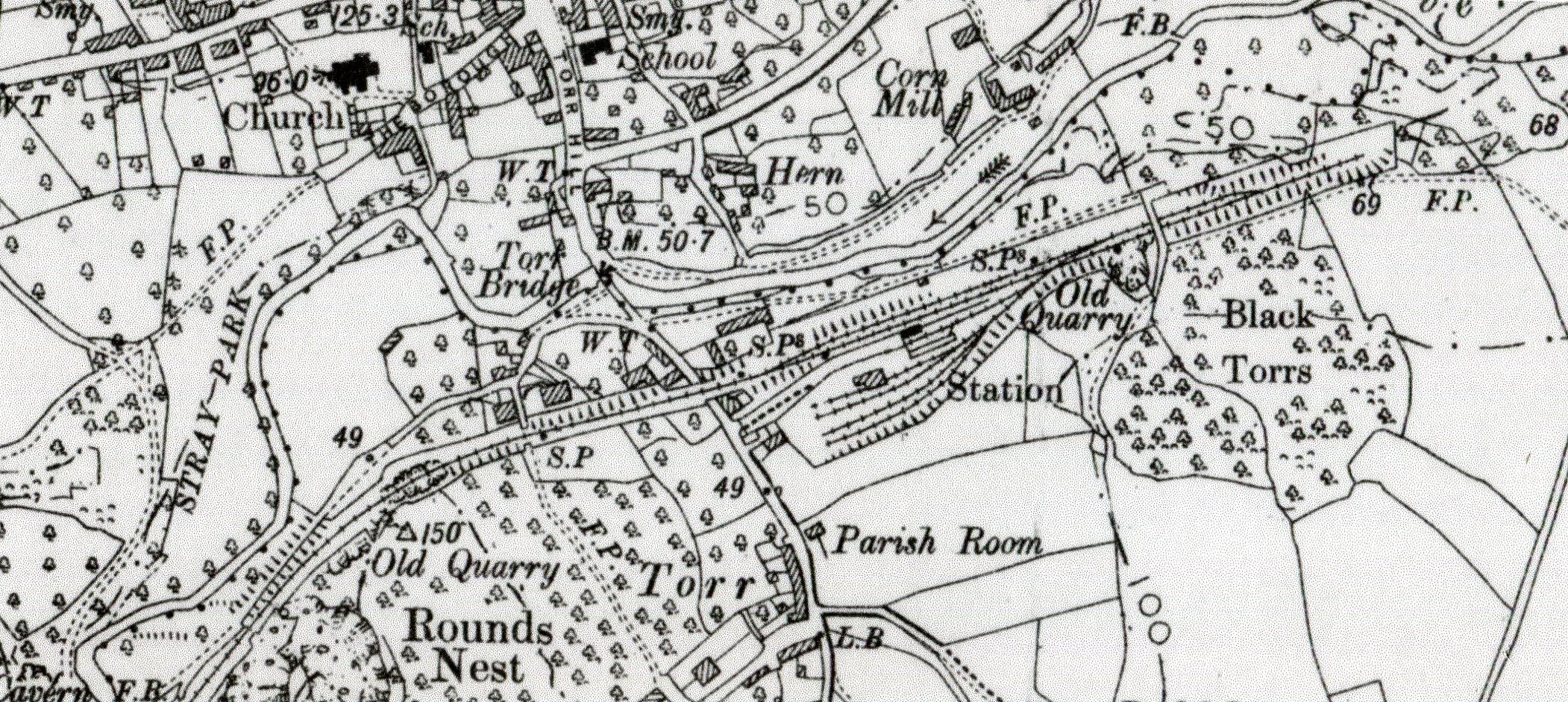
Detail Steer Point to Lattice bridge Turnchapel Six Map 1883 - 1913 Reproduced with the permission of the National Library of Scotland. Lattice bridge can be seen clearly marked on this map - it's above the rr's of Warren Point. Note also the location of Cylinder Bridge and the dam across the creek beyond which lies a fish pond.
Moving forwards to 2017 courtesy of Mark Brown.
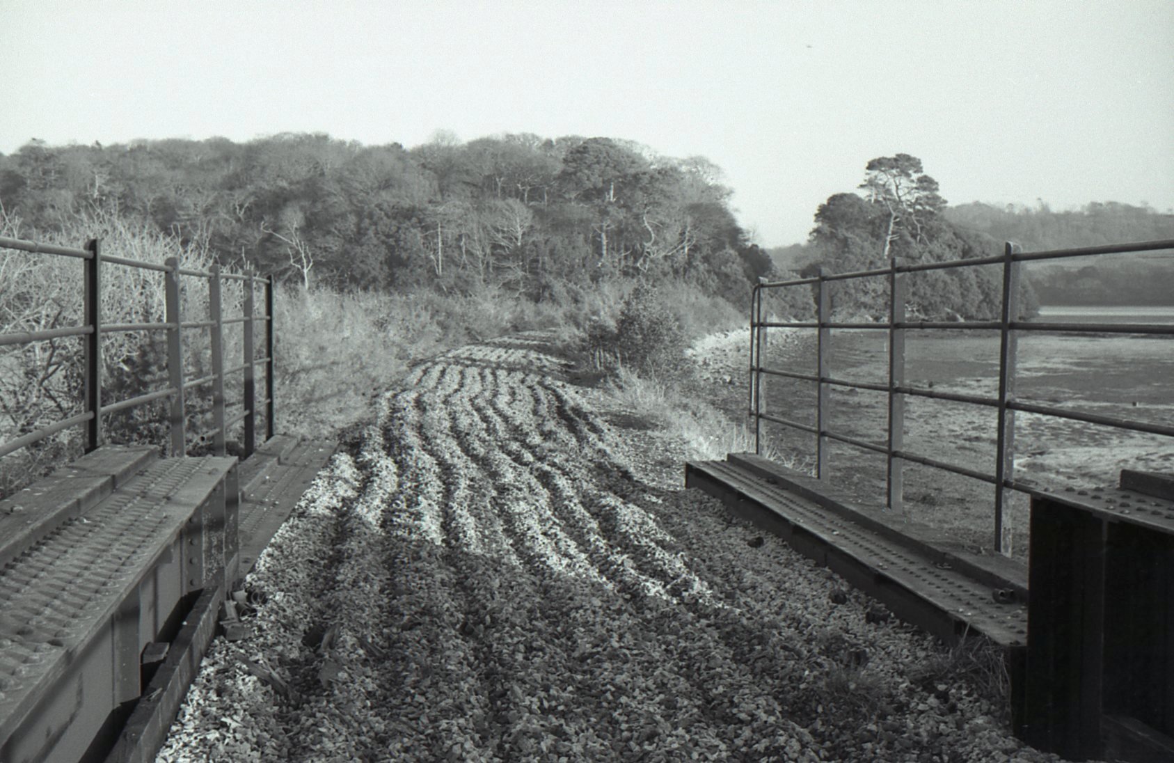
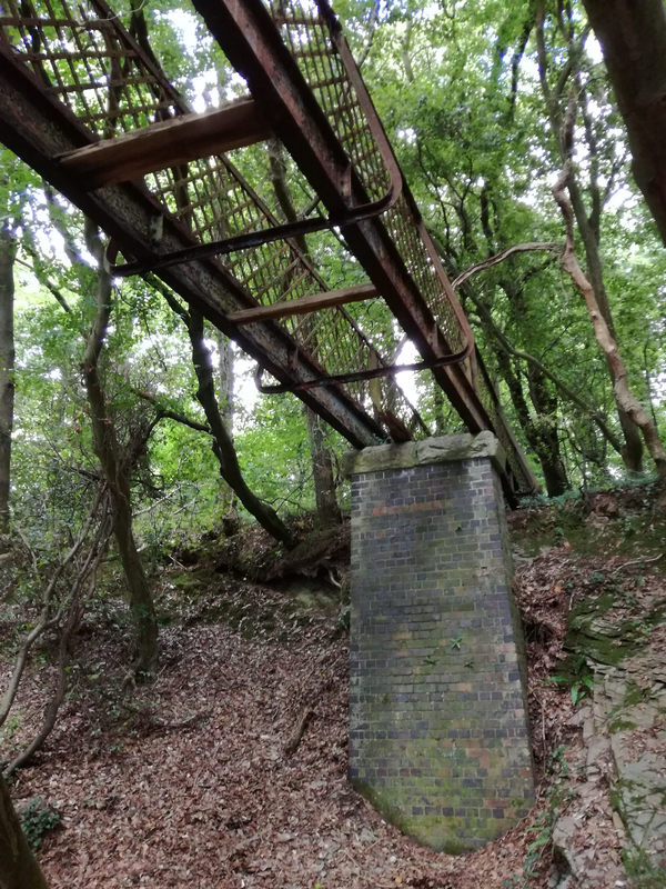
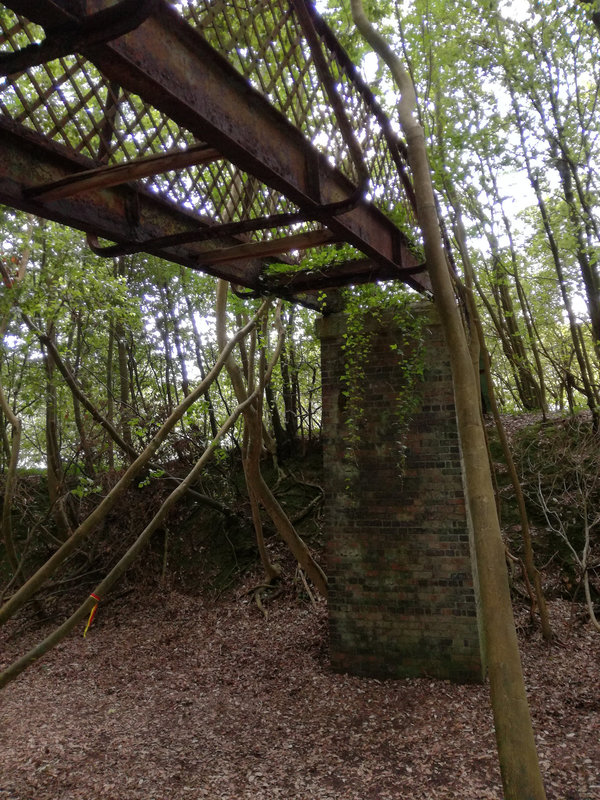
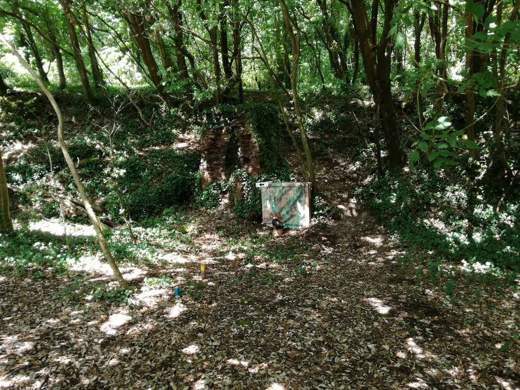
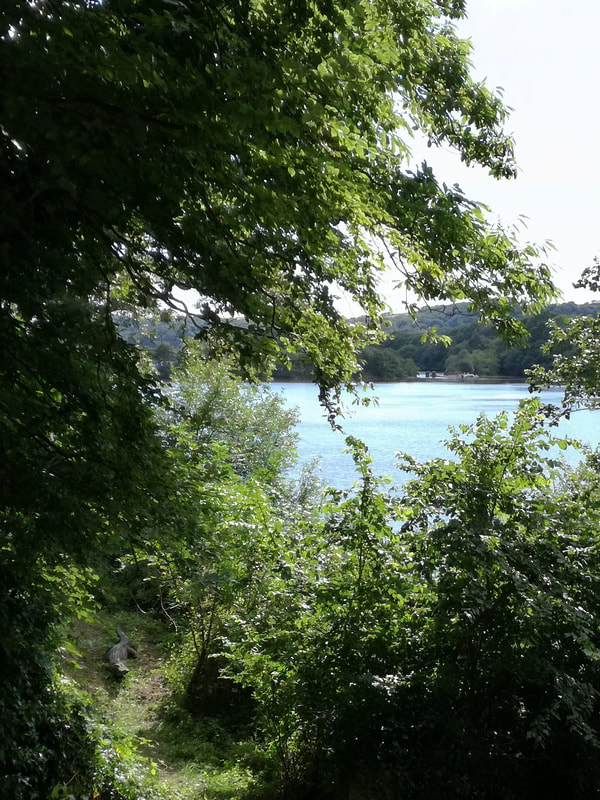
Both for himself and indeed for us, Mark, who as a member of an Archery Club was fortunately able to gain access to the trackbed of the branch within the bounds of the Kirtley Estate. This section of the former branch is strictly private, it is used as part of the South Hams Field Archery Course, and trespassers are warned that you could be walking into the line of fire. However, by means of Marks camera we are able to bring you pictures of the Lattice Bridge still standing in 2017. Many thanks to Mark for sending us these images.
Both for himself and indeed for us, Mark, who as a member of an Archery Club was fortunately able to gain access to the trackbed of the branch within the bounds of the Kirtley Estate. This section of the former branch is strictly private, it is used as part of the South Hams Field Archery Course, and trespassers are warned that you could be walking into the line of fire. However, by means of Marks camera we are able to bring you pictures of the Lattice Bridge still standing in 2017. Many thanks to Mark for sending us these images.
A true story associated with the 'Lattice bridge'
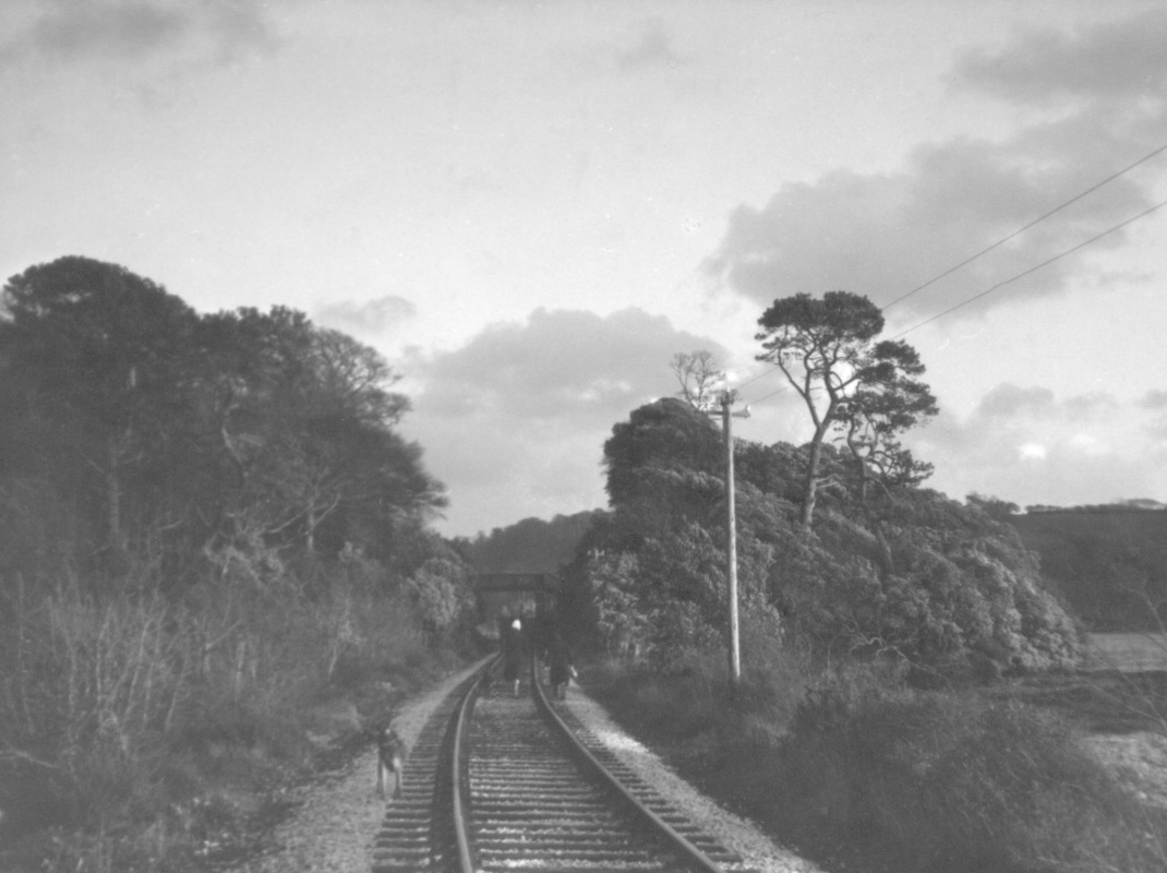
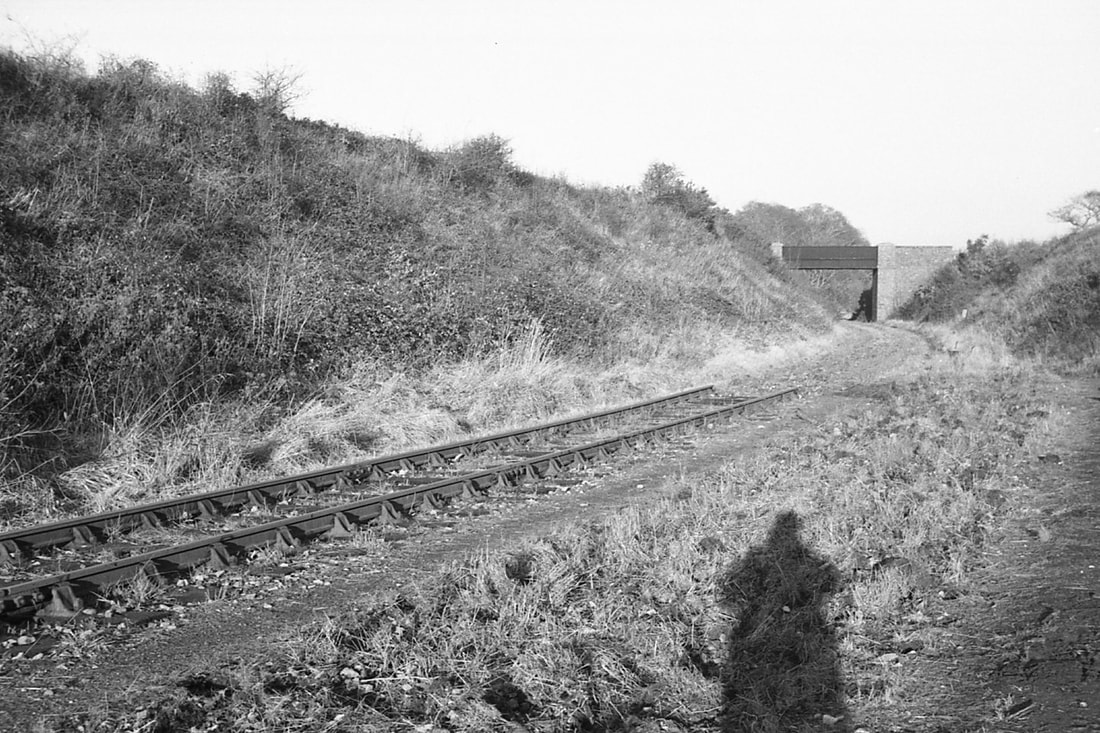
On the 29th December 1973 Roger Winnen and Keith Jenkin decided, as the forecast was reasonable to explore the remains of the Yealmpton branch. We took a bus from Plymouth to Yealmpton and walked down the road to the station site. From there we took pictures en route to Plymouth. Leaving Yealmpton in light drizzle we followed the line alongside the river Yealm to Cylinder Bridge. Beyond here with the bridge taken out and a torrent of water it was impassable to proceed. We retraced our steps a hundred yards to a bridge spanning the cutting. The bridge was of 'Lattice Construction' and supported by brick pillars at either either. We climbed the cutting face. The drizzle made the side of the cutting slippery, 'two paces forward, and one back' but we scrambled up. We made our way alongside the creek which the Cylinder Bridge had spanned and managed to cross the creek on a dam which penned in a large fish pond. We attempted to ask permission for our crossing from the house which stood at the end of the dam. We knocked on the door but got no reply, however, on walking up the side of the house we found the owner in deep conversation with a tradesman. Rather than give the lady a shock, we left her property, un-noticed via a gate to a field.
By this time the drizzle had turned to steady rain as we made our way up the field bent double to keep out of sight. We soon came to a tarmac road and headed down to Steer Point station where we regained the trackbed and started to walk purposefully along the formation towards Brixton Road station. However, en route we came across a location where a field track had been crossed by means of a metal bridge - this had, alas also, been lifted out. We made our way down the embankment and jumped the last six feet or so down into MUD!!!! By now muddy, up to our knees we regained the track and walked to Brixton Road station where we found the buildings intact.
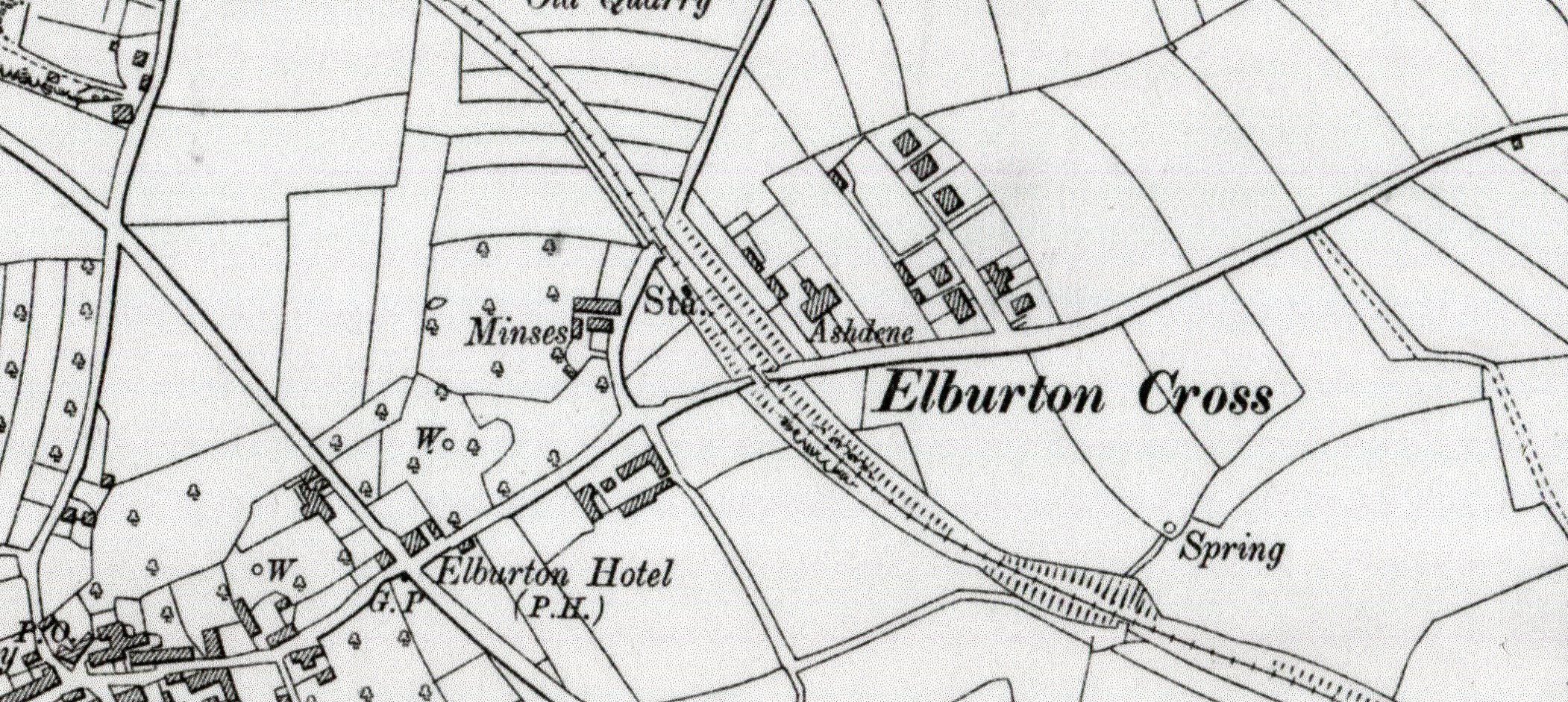
Beyond Brixton Road the line was already severely overgrown so we took to the road calling at the site of Elburton Cross station, by then filled in and on towards Plymstock. The rain was 'horizontal' as we crossed the Laira road bridge and boarded a bus for North Road station. Here thankfully there was a train - just about to go, standing in the old platform one. We were so wet that we stood all the way home to avoid soaking the seats - a grand day out - never to be repeated - I hope! Keith Jenkin
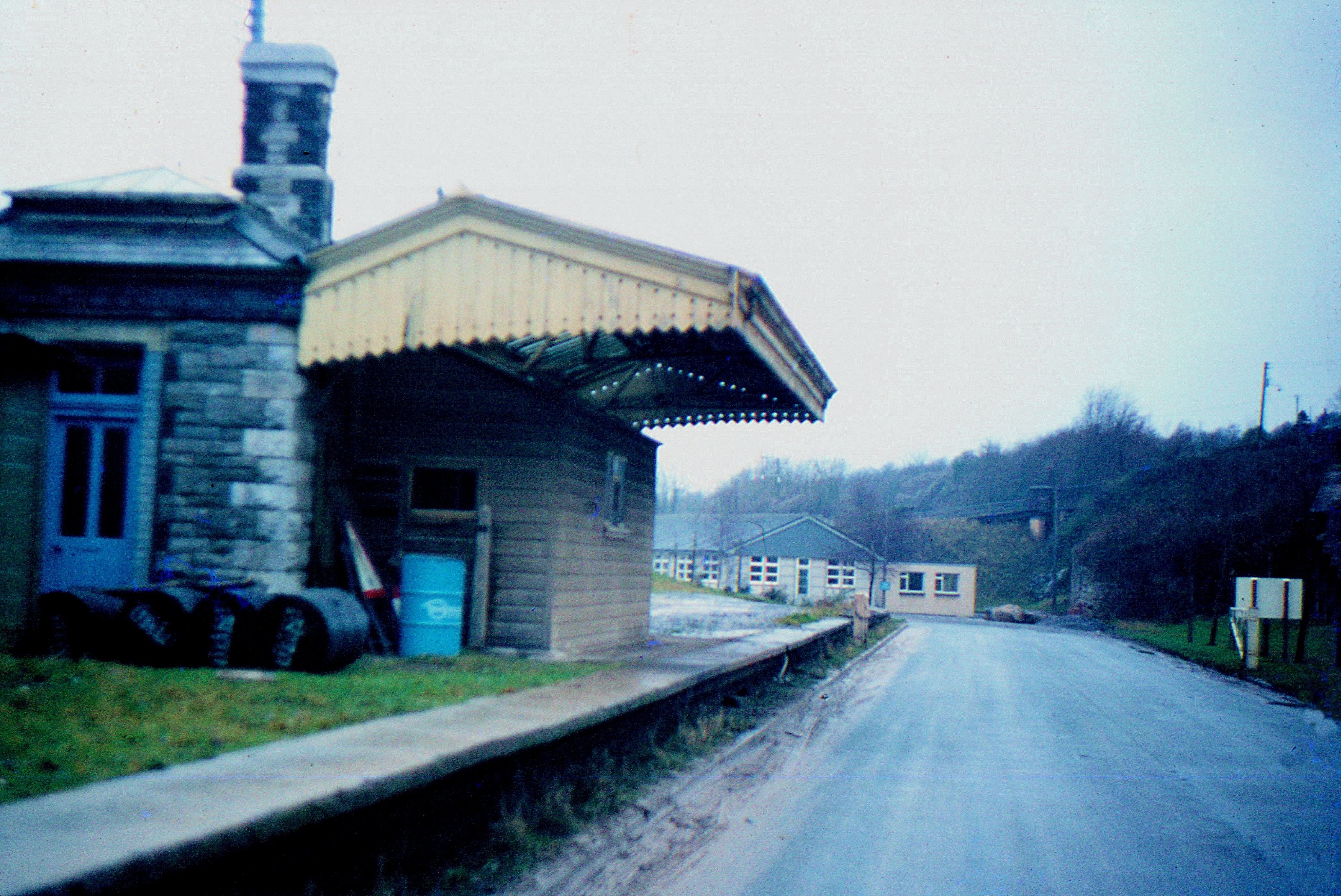
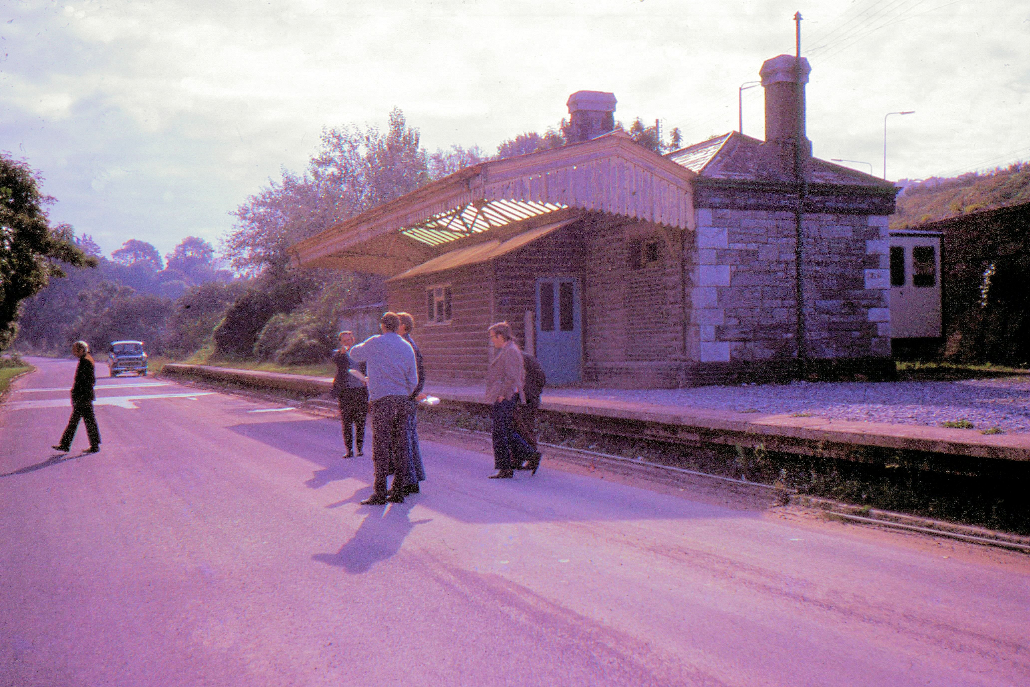
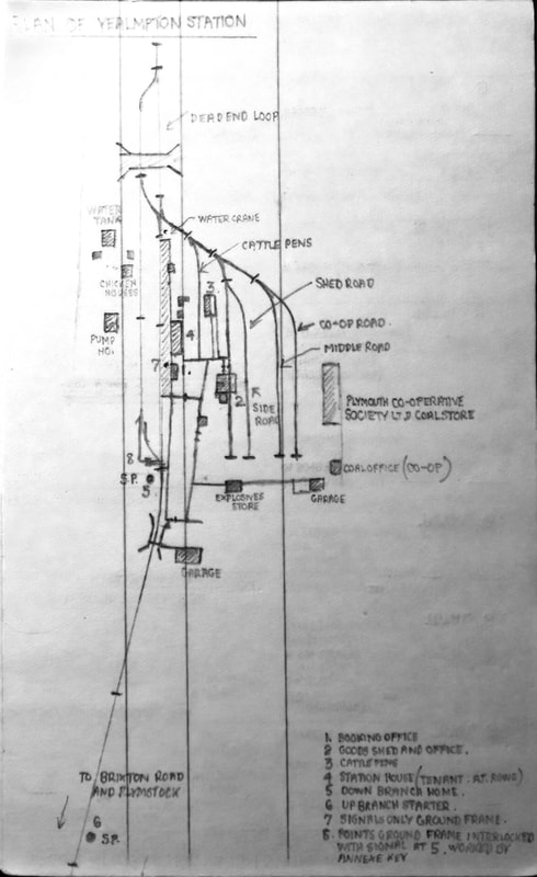
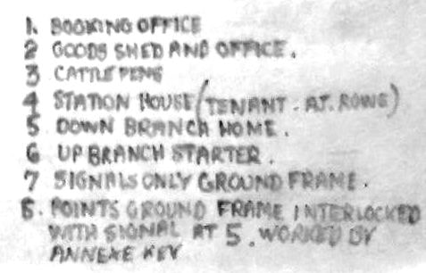
Yealmpton
Yealmpton Station was 6.5 miles from Plymstock Station, the junction for the branch, and 10.25 miles from Millbay Station where the passenger trains started up until first withdrawal on 7 July 1930. A note in Bradshaw for 1922 says Station for Newton Ferrers (3.5 miles); but see also Steer Point Station
Yealmpton Station was 6.5 miles from Plymstock Station, the junction for the branch, and 10.25 miles from Millbay Station where the passenger trains started up until first withdrawal on 7 July 1930. A note in Bradshaw for 1922 says Station for Newton Ferrers (3.5 miles); but see also Steer Point Station
Tribute to the late Charles Fennamore by Edward Hooper
This is in memory of Charles on the occasion of what would have been his 80th Birthday on the 8th November 2020.
This is in memory of Charles on the occasion of what would have been his 80th Birthday on the 8th November 2020.
Sketches of a teenager
The late Charles Fennamore was born on 8th November 1940, eighty years ago today.
He grew up at Brixton just east of Plymouth and his love of railways was fostered by his exploration of the Yealmpton Branch as a young boy.
From a hand-written letter:
"I well remember the hours of waiting it all took; lots of lying in the grass listening to grasshoppers, thinking every now and then that you heard a train approaching, only to discover it was a gust of wind in the trees or a tractor. And to take pics you had to sacrifice your ride on the train or participation with the shunting at Yealmpton. It became a complete addiction to spend time on the branch - every day of the school holidays without fail and whatever the weather, over a span of 7-8 years; small wonder that the mother was so vociferous in her objections - "wasting your time on that silly little railway". But in retrospect I'm so glad I did - it was an education not to be missed."
Best Regards,
Ed Hooper
Nephew of Charles Fennamore
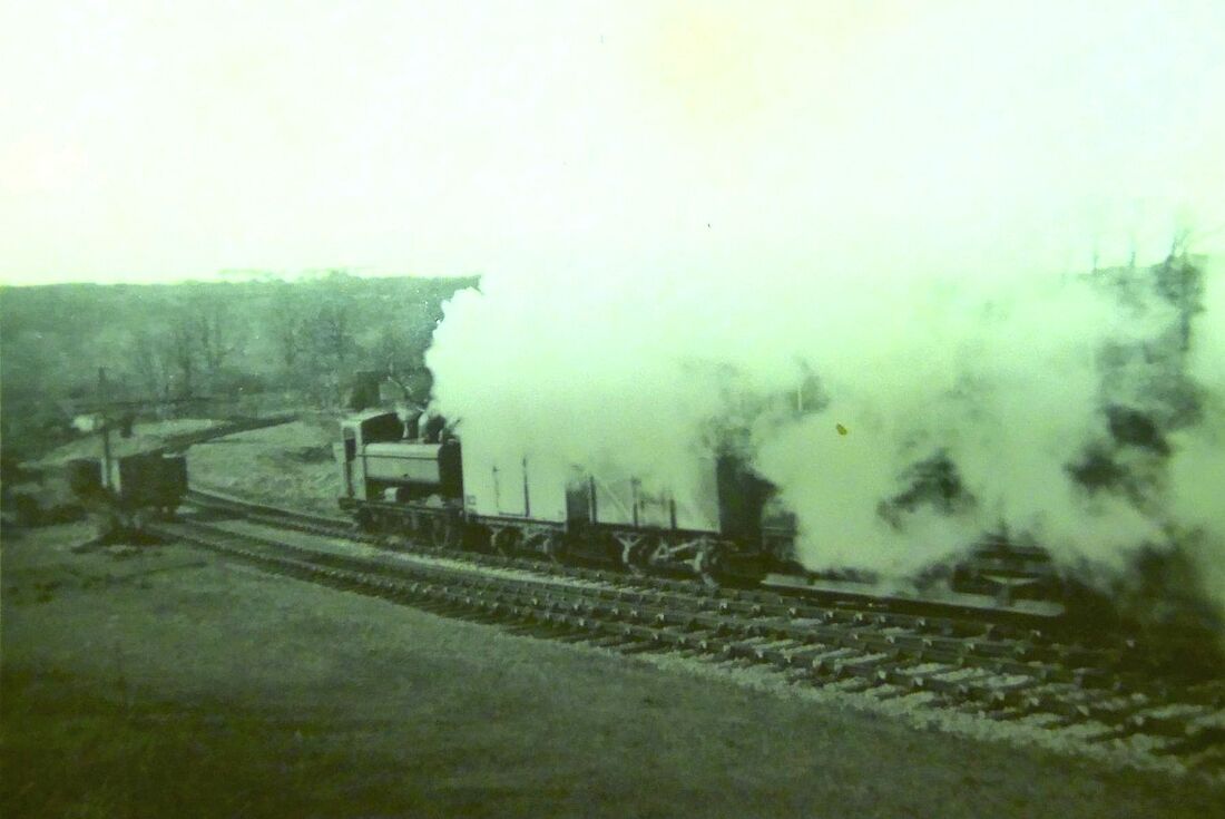
Image 4
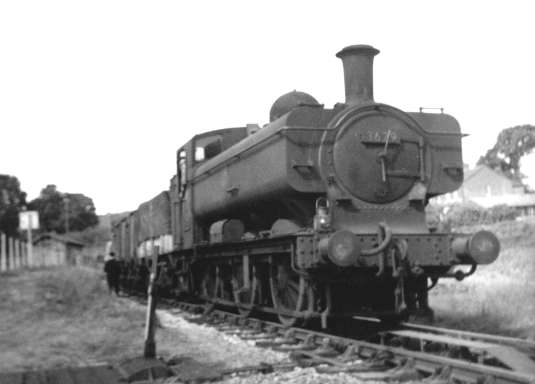
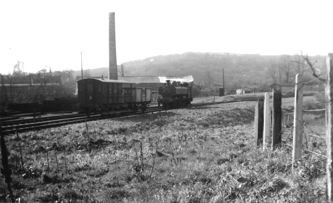
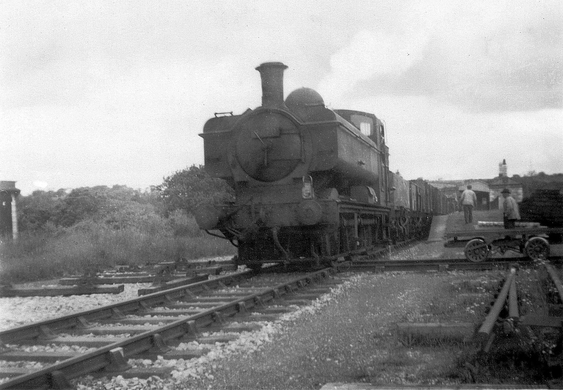
In a flurry of Steam, 3790 approaches Steer Point, the next station on the line towards Yealmpton. Located on the edge of the River Yealm estuary, the tranquility was broken by the South Hams Brickworks and an occasional train. In earlier years passengers were able to alight from the train at Steer Point, board a small ferry such as the Kitley Belle, and travel down the river to Newton Ferrers. Copyright the late Charles Fennamore.
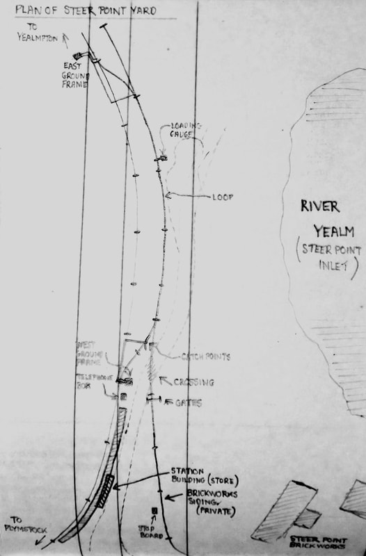
Image 5
Plan of Steer Point Station, 1956, showing two ground frames and brickwork sidings. In earlier years a twin-track 1 foot 6 inch gauge cable-worked tramway linked the quarry with the brickworks, in use until 1953; a second tramway led from the brickworks to a quay on the estuary. Information taken from "Inclined Planes of the South West", Martin Bodman, Twelveheads Press. Plan by the late Charles Fennamore.
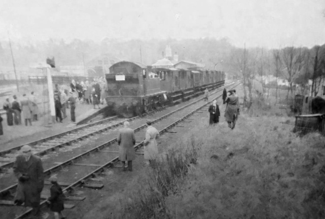
Image 6
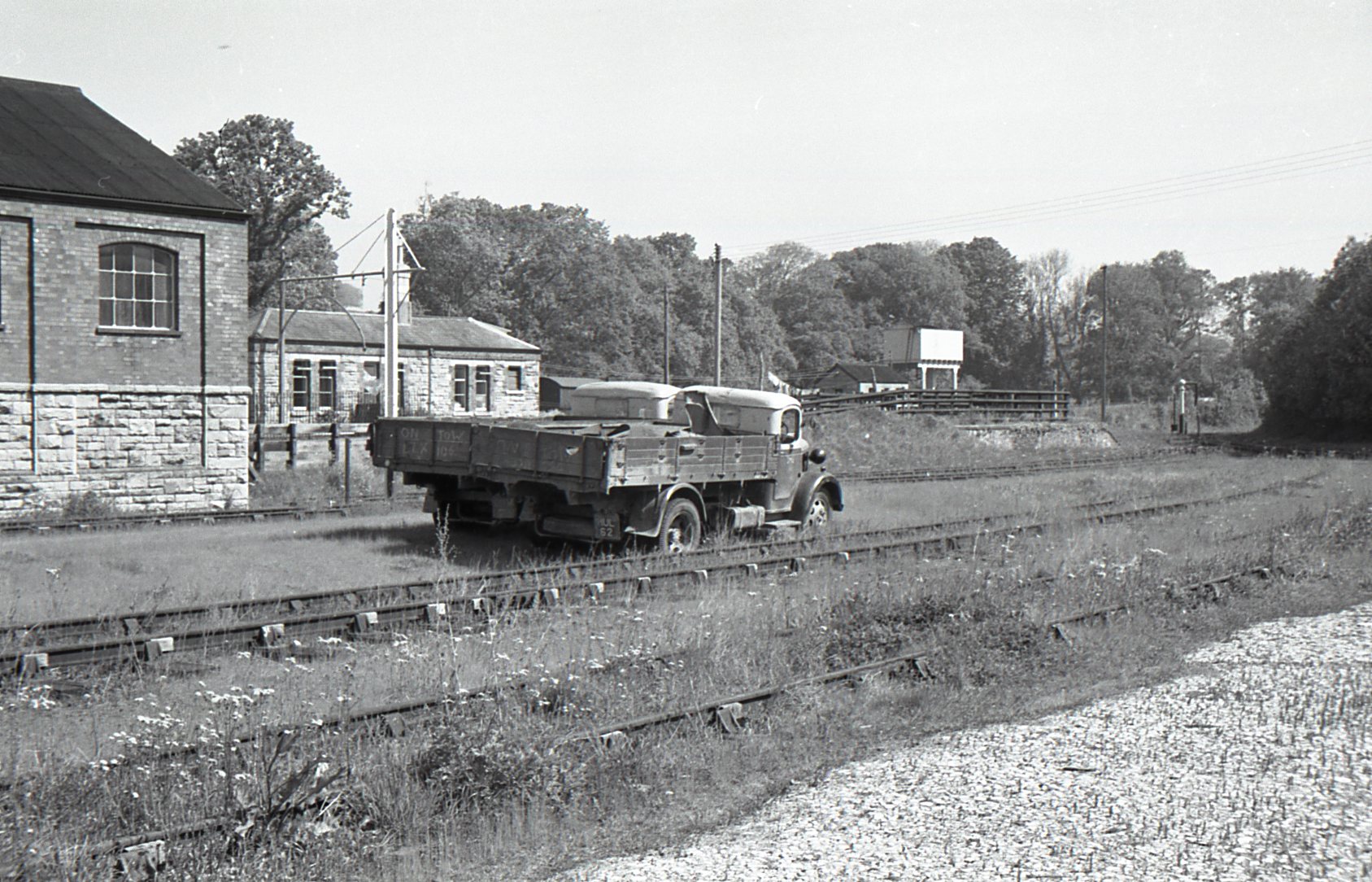
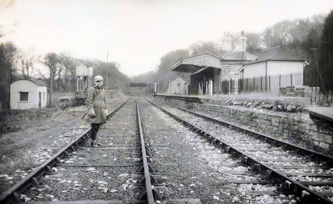
Yealmpton station looking west, obscured by a R.C.T.S. special, consisting of a rake of brake vans.
It was designed as a future through-station to Modbury and a junction to Newton Ferrers. In 1906 the Devon and South Hams Light Railway began construction of the line to Newton Ferrers, but it was not progressed. Information from "The Plymouth to Yealmpton Railway" by Anthony Kingdom, ARK Publications.
TAKE 3 5th DECEMBER1962
An excursion to Steer Point
Michael L. Roach.
An excursion to Steer Point
Michael L. Roach.
STEER POINT – 05 December 1962 Michael L. Roach
On the afternoon of 5 December 1962 I took a half day off work to do some railway photography in the company of a friend. I motored from my parents home in the Mutley area of Plymouth the seven miles to Steer Point Station on the former Yealmpton Branch which was closed to passengers by the Great Western Railway in 1930, possibly due to competition from buses. Freight trains continued to reach Yealmpton for another thirty years until 1960. During World War Two the passenger service was reintroduced to Yealmpton but this time starting at the Southern Railway's Friary Station rather than the GWR's Millbay or North Road Stations. The service ran from 1941 to 1947 when it was again withdrawn. Our visit to Steer Point on Wednesday 5 December 1962 was to witness the lifting of the railway track which had lain disused for more than two and a half years. Being a normal working day we were able to see the lifting actually taking place and the gang had no objection to our presence there. The work was being done by British Railway's own men using a small crane and rail haulage by a 204 horse power diesel shunter. I think it was probably unusual for BR to do the dismantling themselves as without exception all the other lines I saw were being dismantled by contractors like Thomas W. Ward and George Cohen. These contractors generally used a crawler crane to lift the track – the favourites were the ubiquitous 19RB and 22RB cranes made by Ruston Bucyrus of Lincoln. The small crane being used at Steer Point was made by Neal's of Grantham on road wheels of a type that was very popular with BR because they could take them to site on rail wagons; but of course it did not have the lifting capacity of a 19RB or 22RB.With the end of the track now very close to the Steer Point Station site the gang would have to load every item in the stockpiles into rail wagons and move the mess coach before lifting any more track. In fact the gang's base was moved just one and a half miles to Brixton Road Station.
MLR / 26 November 2022
Many thanks indeed Michael for your article and photographs submitted excactly 60 years on.
