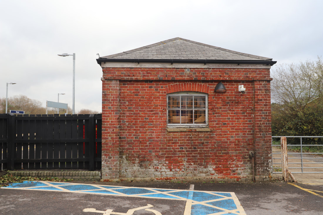
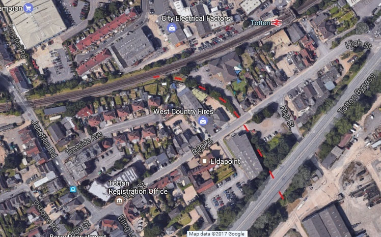
Eling Wharf branch - Totton.
An article and pictures by Mick House
An article and pictures by Mick House
It is with many thanks to Mick for sending us his pictures taken on a pedestrian survey of this short and and largely forgotten route serving a once busy terminal.
For a detailed track plan you may care to visit the National Musuem of Scotland's website for this 1910 map, click here http://maps.nls.uk/geo/explore/#zoom=16&lat=50.9150&lon=-1.4819&layers=6&b=1
You will note there is a branch off via a turn-plate to serve the Eling Mill. Or for a more recent and detailed map 1937 - 61 click here http://maps.nls.uk/geo/explore/#zoom=16&lat=50.9159&lon=-1.4782&layers=10&b=1
Regards Mick
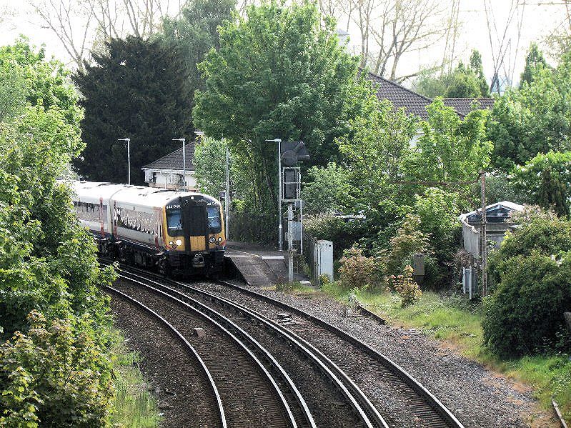
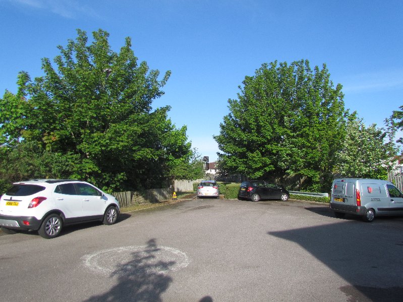
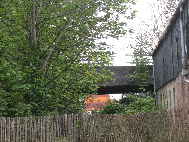
Photo 2 taken from the footbridge to the west of Totton station we are looking at what was the start of the Eling Wharf branch line, the building behind the trees is the Play Away day Nursery the line curves away from the back of the station to the right of the nursery then heads south. Copyright Mick House
