Taunton to Witham
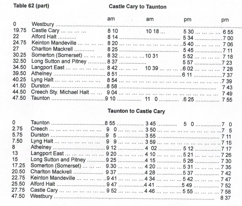
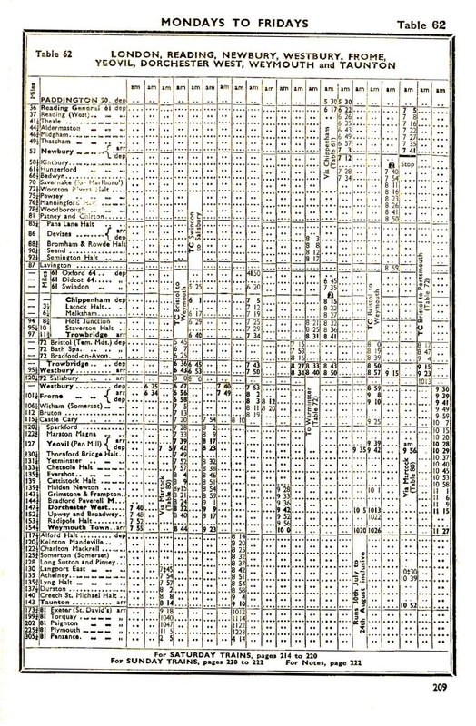
Extract from the Summer Timetable - this last period of operation for stopper trains between Castle Cary & Taunton, Summer 1962 It can be seen that it was a pretty sparse service. Thanks to Mike Roach for providing this extract.
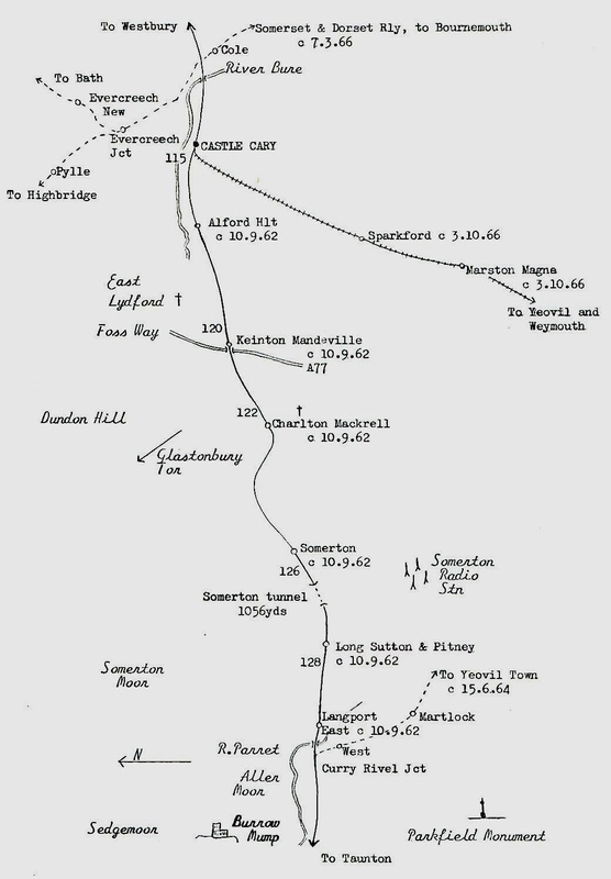
If you wanted to travel from Taunton to Castle Cary in December 2014 there are 8 trains a day, on weekdays, from 06.17 to 20.25 taking 20 to 22 minutes non-stop.
Taunton
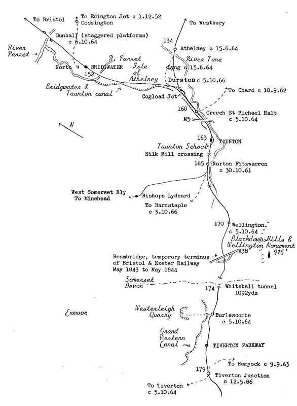
Creech St Michael Two and three quarter miles from Taunton
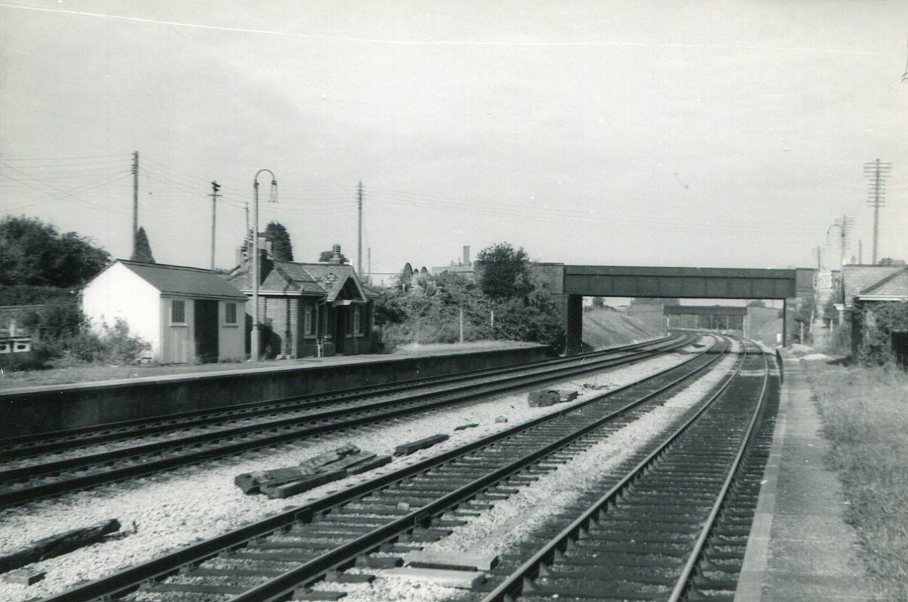
Creech St Michael on the 1st October 1966 just days before the stations closure on the 5th October 1964. The station at this site originally opened in 1928 but had be rebuilt further out to accommodate four tracks in 1931. These were reduced to two again in 1986, one wonders if there will ever be a requirement to put back the additional lines. At least the bridge would not require widening! Copyright Mike Roach
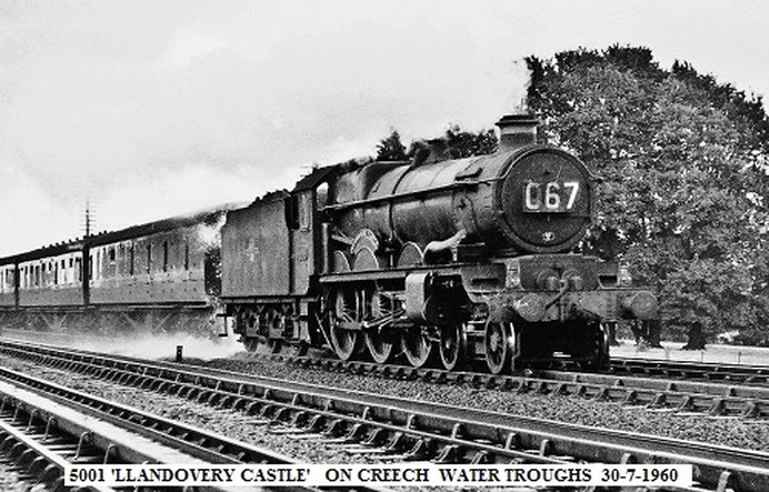
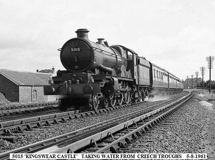
Creech Troughs
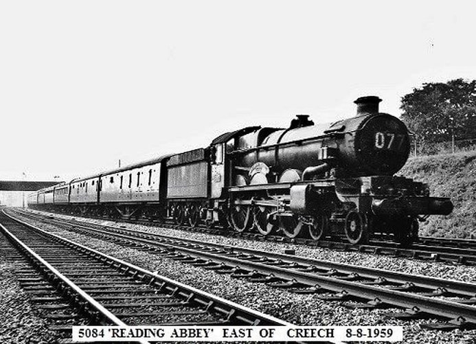
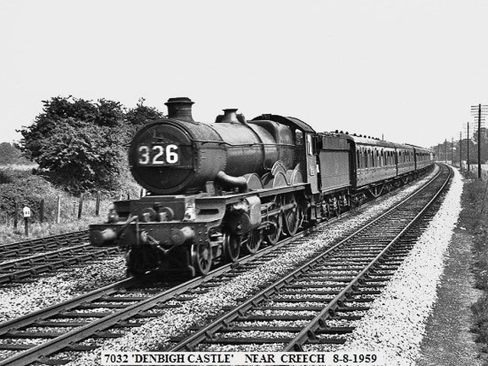
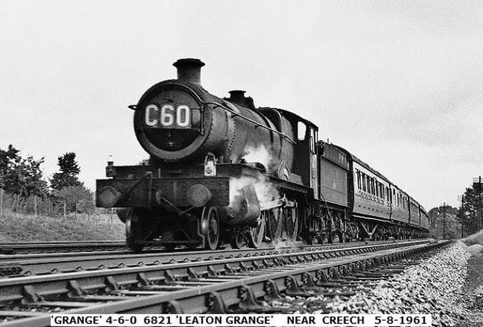
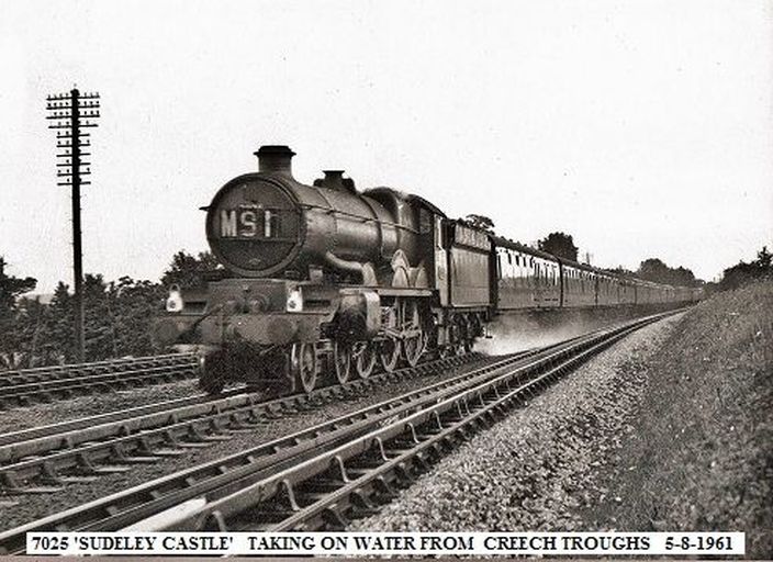
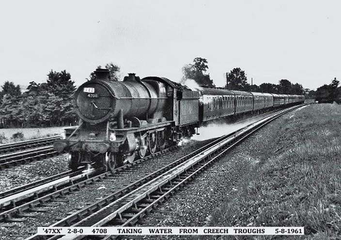
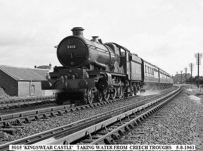
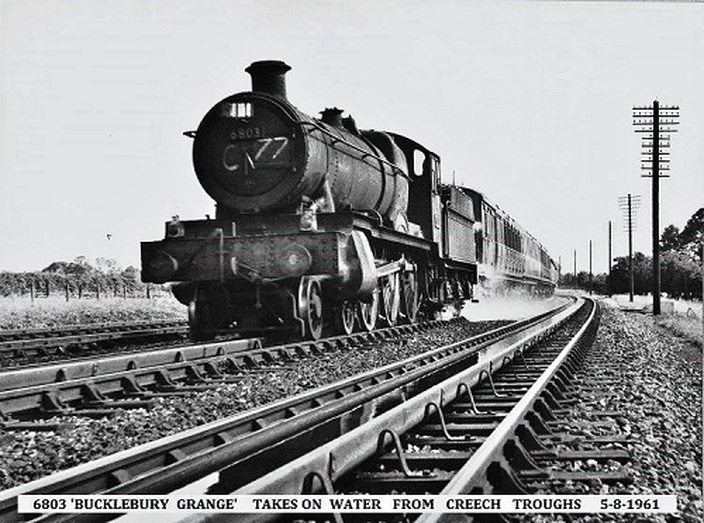
Water troughs were installed for the then double track in 1902. Alongside the track was a float house which ensured that the levels in the troughs could be maintained. After passage of an engine taking water the troughs could be refilled in a remarkable three minutes. The tracks here were quadrupled in 1930 - 32 all tracks being fitted with troughs.
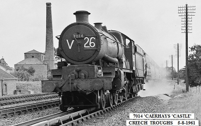
7014 Caerhays Castle on Creech Troughs 5th August 1961. An extremely well timed picture in that it features the pumping station which provided the water for the troughs as well as a locally, to us in Cornwall, named engine. 7014 was built in July 1948 and scrapped in February 1965. It looks as if the camera and photographer are in for an early bath!! Copyright John Cornelius
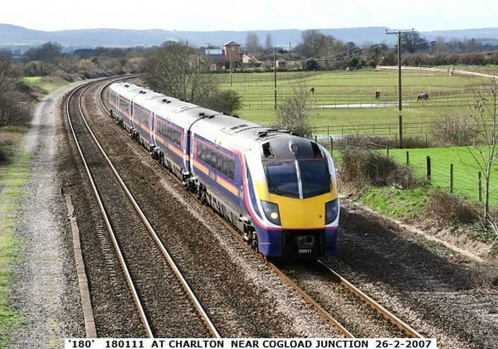
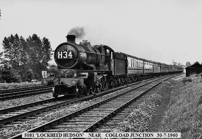
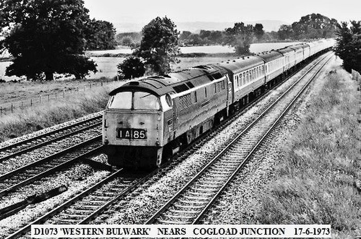
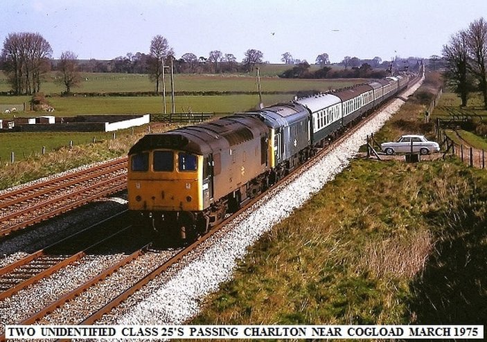
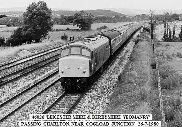
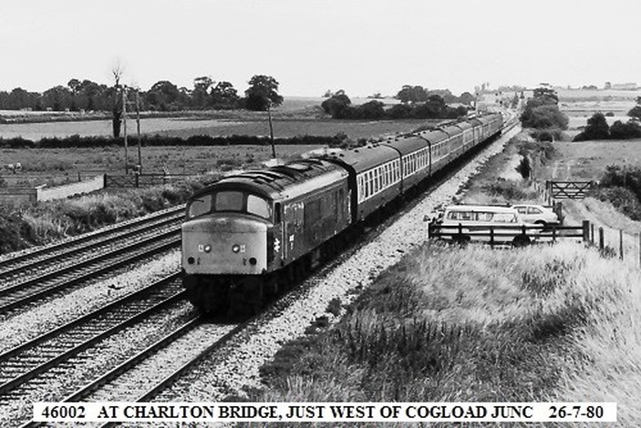
Charlton is just to the west of Cogload Junction. The fact that this was formerly quadruple track is is clearly seen by the sleeper imprints in the ballast on either side of the running lines. Will there ever be a case for making this a four track arrangement again one wonders!! Copyright John Cornelius
Cogload
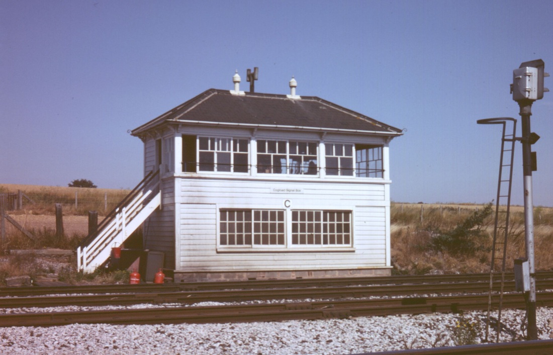
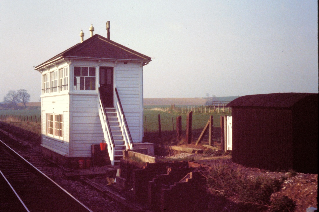
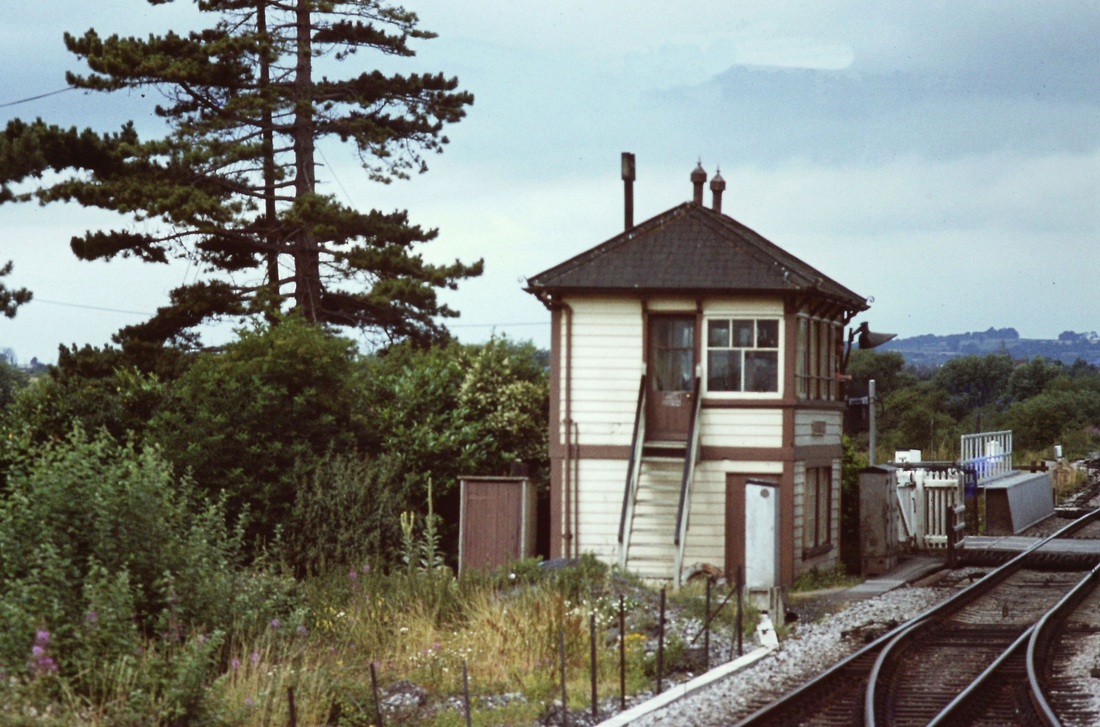
Cogload Signal Box in 1984 A view over the fence by Chris Osment Copyright
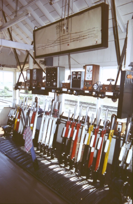
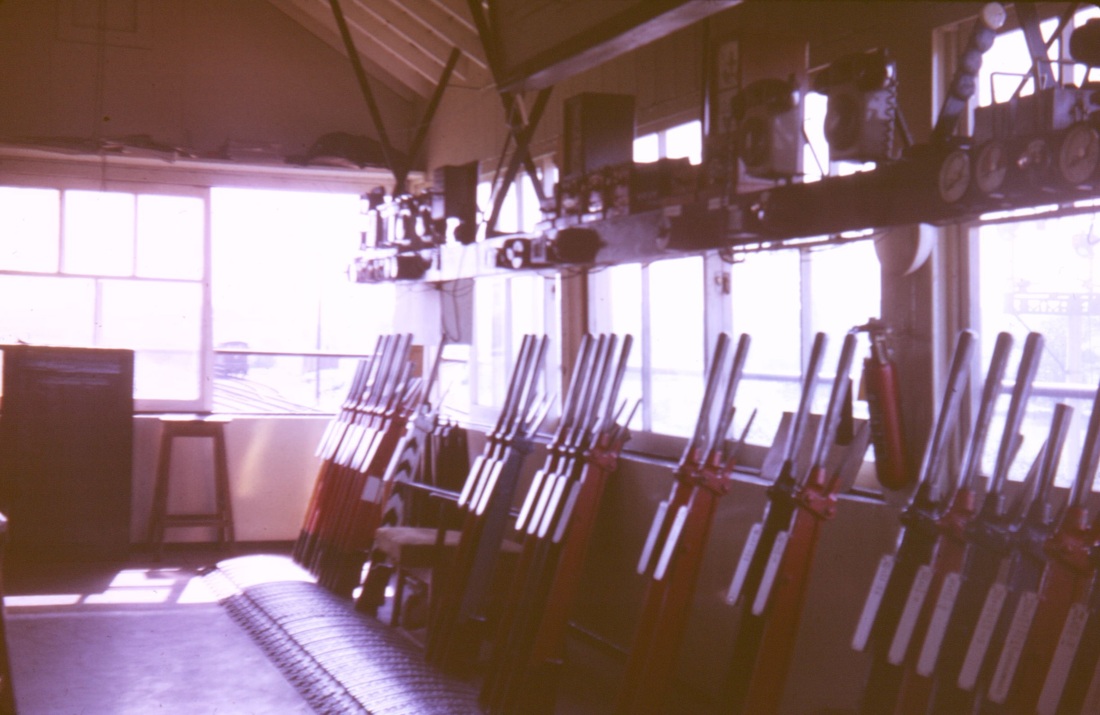
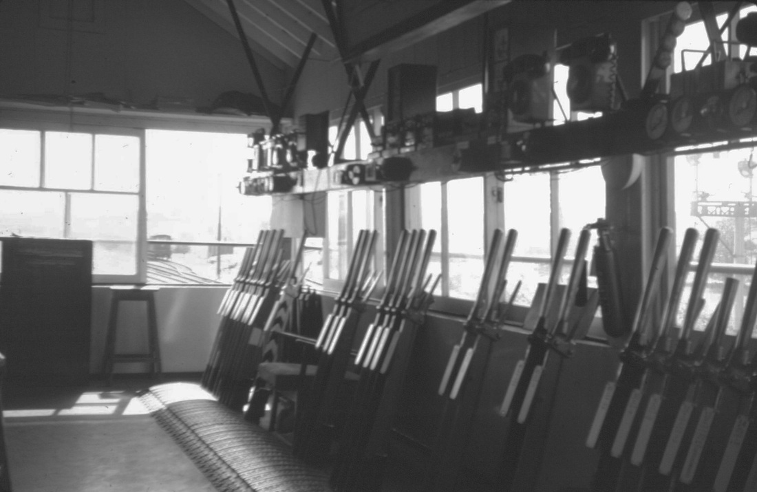
Note the high level of the Taunton to Bridgwater Canal in the background. The box had 23 levers as seen below - it closed 7th April 1986. The box previously opened in 1906 was moved just over a quarter of a mile the south west in 1931 on the opening of the flyover. The box made another move and is now located at Coleford in the Forest of Dean
Cogload had a 'stud' locking frame with 23 levers at 5.1/4" centres, plus two separate 2-lever 'small' frames for the detonator placers (probably later additions?) Thanks for info to Chris Osment
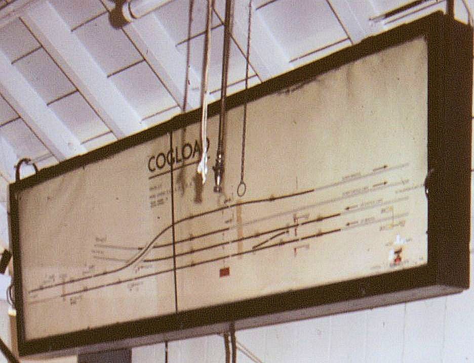
A close up of the track diagram showing coming from the left the double track main lines from Bristol in the lower part and from Westbury and London closing in under the 1931 flyover. Prior to 1986 quadruple track continued right though to Taunton, this was reduced to double track in 1986 when the box was closed. At one time water troughs were positioned on the main lines to the west of here - these were fed by water drawn from the canal via a header tank. The drawing of water from the canal caused a dispute. The base of the header tank has been turned into a very nice property with a lineside view. Copyright Chris Osment.
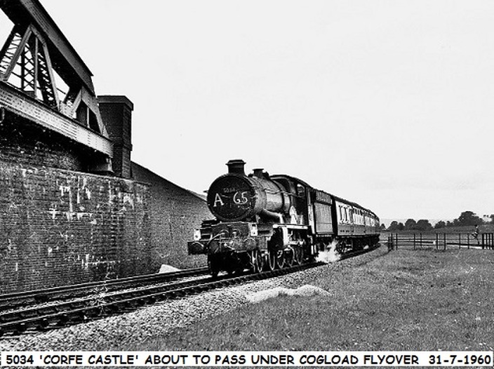
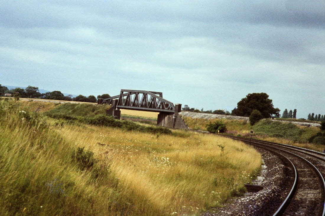
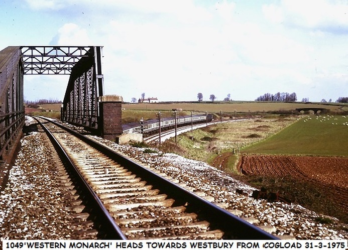
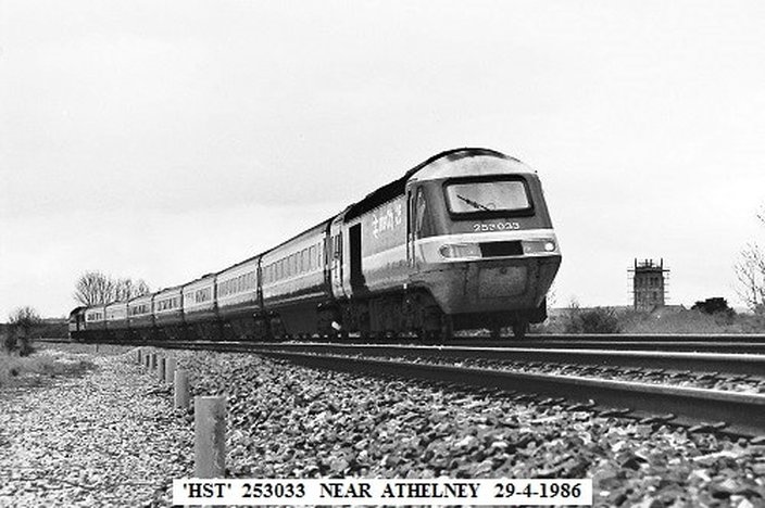
This picture, copyright John Cornelius is taken from a location privileged to railway staff. This up train as well as passing under the Bristol down line is also passing over a bridge over a lane which connects two fields either side of the four tracks at this location. The protective fencing is around an open point in the lanes passage under the railway. Taking a look at the current Google Earth view at this location will reveal a Bristol bound HST.
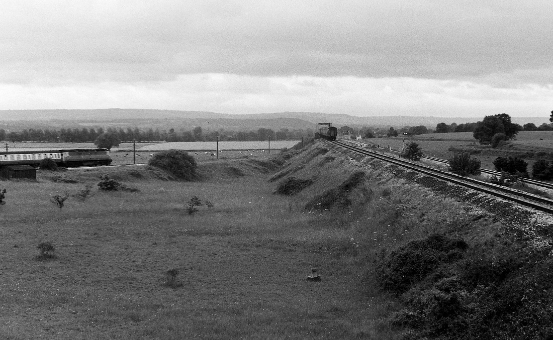
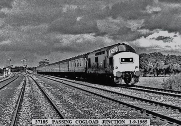
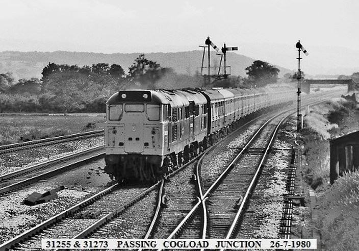
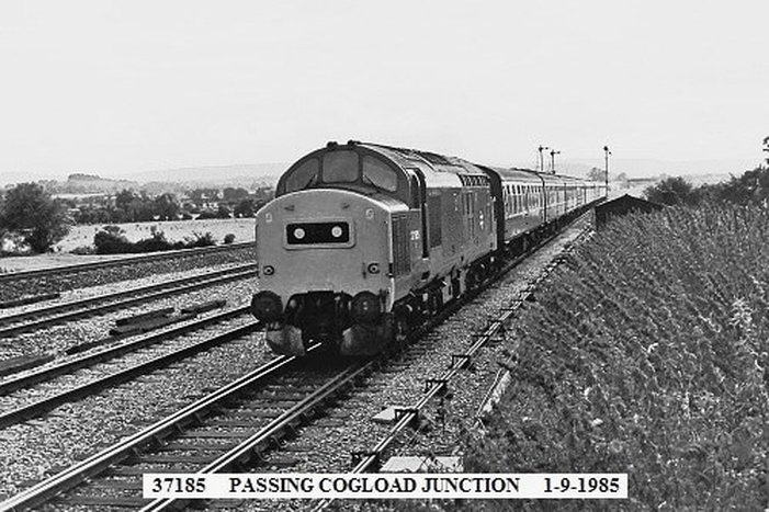
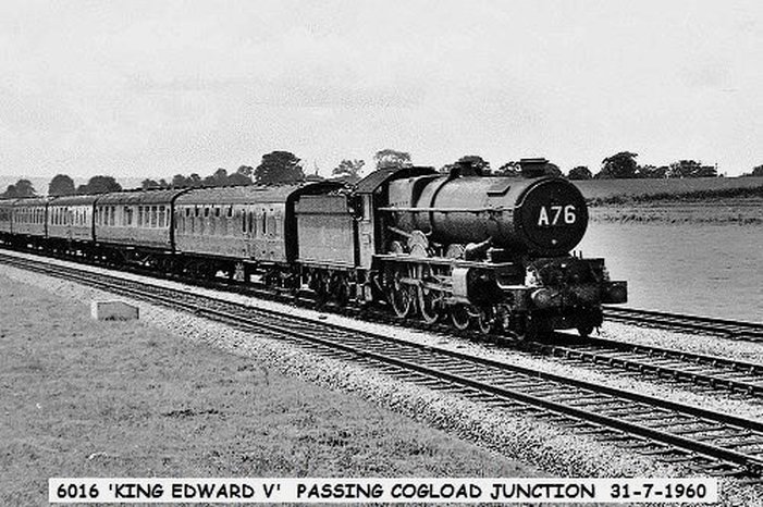
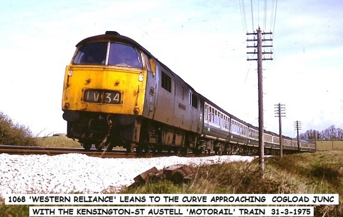
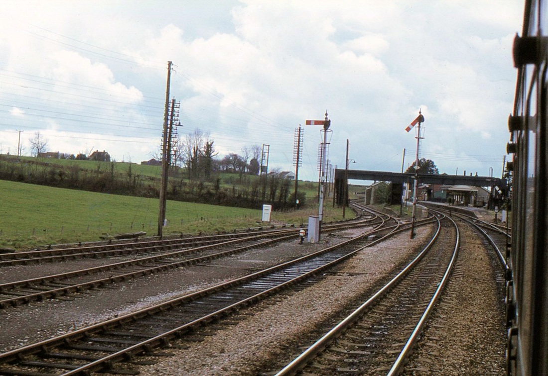
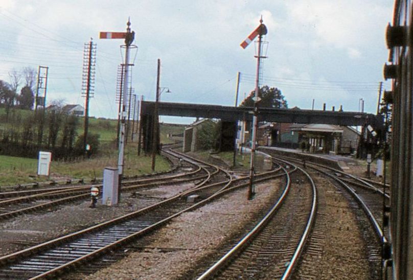
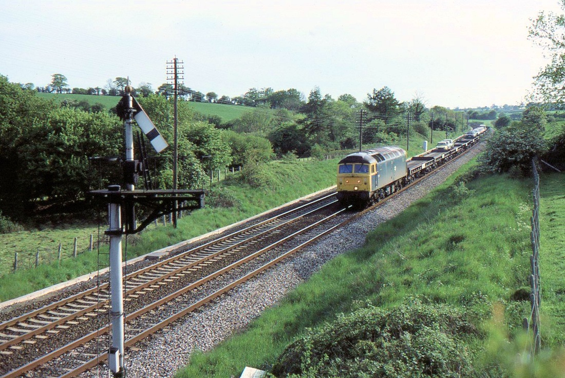
Cogload 1970 Class 47 on a down train from Paddington leans into the curve and had the train from Bristol been seconds later it would have passed under it. Copyright Andrew Jones. Examintaion of the signals at Cogload shows that had the timing been right that Andrew might have had three trains in his picture with the addition of a service for London!
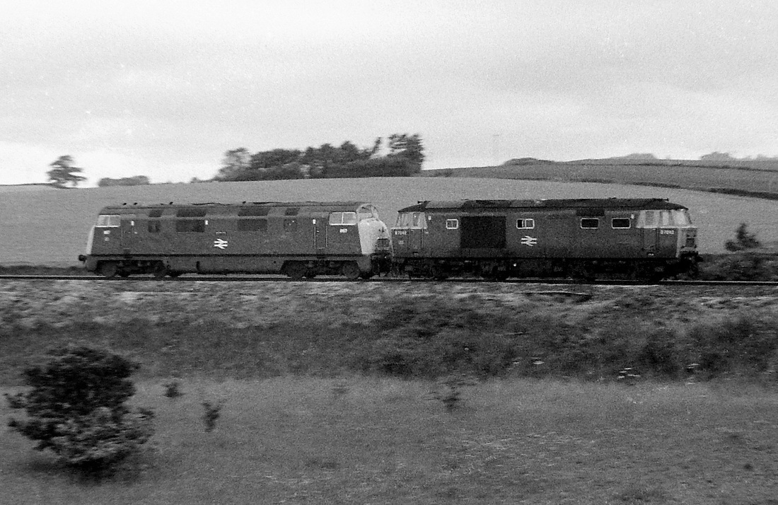
The second is a Warship/Hymek combination, which was fairly rare, the Hymek was being dragged, I presume to Laira for attention.
I really didn’t realise how lucky I was back then, the activity was riveting, so much so that I did not notice a curled up adder by my side for the duration!
I really didn’t realise how lucky I was back then, the activity was riveting, so much so that I did not notice a curled up adder by my side for the duration!
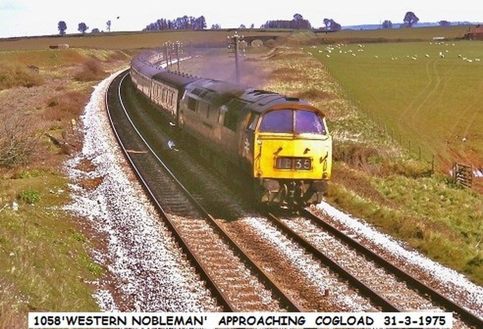
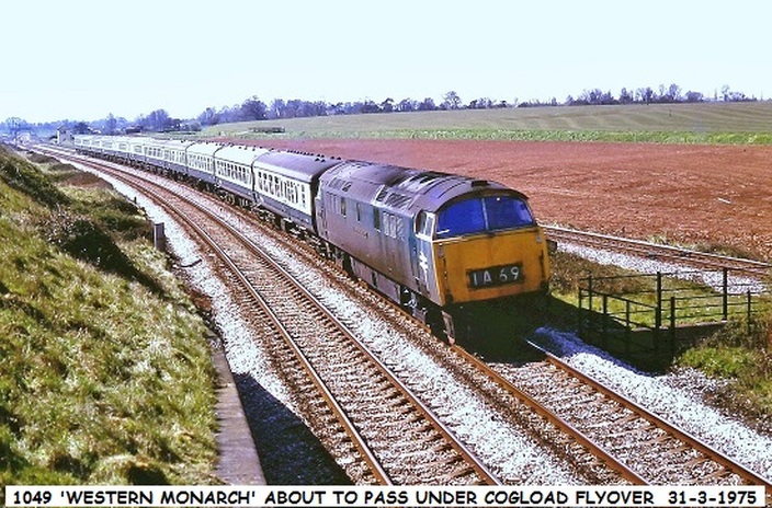
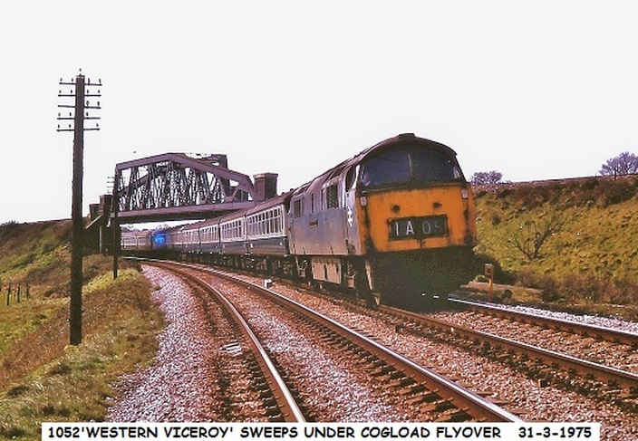
One of the delights of being a railway signalman in 1975 was that having asked permission of the local signalman once could go anywhere. John Cornelius, signalman at the time brings us these exclusive pictures.
Hi Keith, I was interested in the pics of Cogload from 'a different angle'.
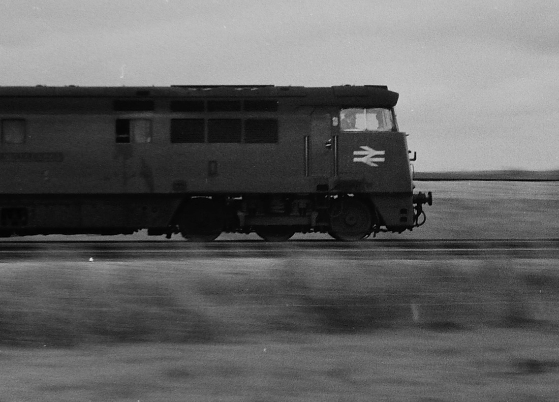
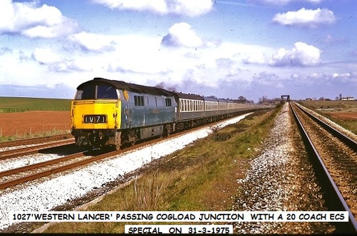
So I've looked out a few slides I took there on Easter Saturday 31-3-1975, which gives a another angle of it, when most London trains were hauled by class 52 locos. However, before I went onto the flyover I had a word with the duty signalman, and told him what I intended doing, so he was aware of where I was. After taking several photo's, I returned to the box to let him know when I had finished on the flyover, but continued taking pics by the signalbox for a while.
enjoy, cheers JOHN C. We most certainly will 'enjoy', many thanks John.
Bill Elston cops a rare event at Cogload.
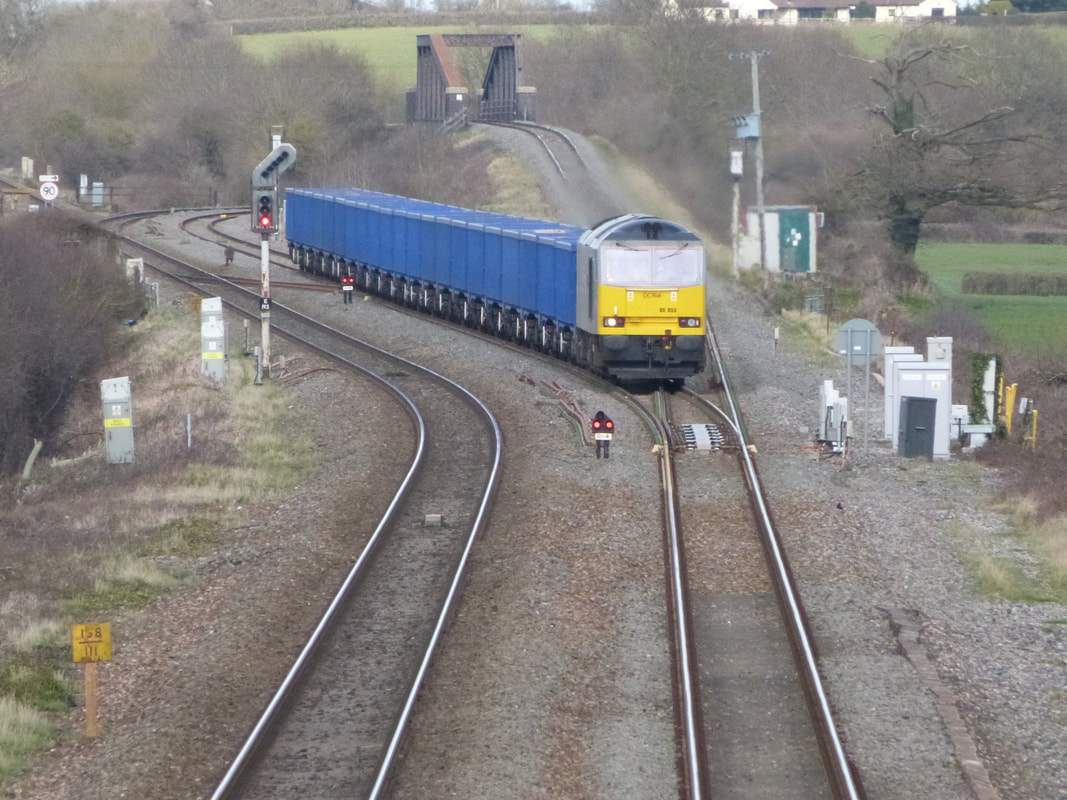
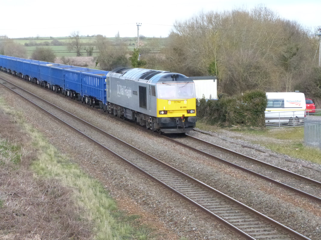
Cogload Jct witnessed the passage of a class 60 loco the first in what seems like many years.
This was D and C Railfreight 60055 Thomas Barnado, working 6V53 1105 Oxford Banbury Rd sidings to Newton Abbot Hackney Yard, it was running to time. Please see photos.
Best wishes, Bill.
Cogload Jct witnessed the passage of a class 60 loco the first in what seems like many years.
This was D and C Railfreight 60055 Thomas Barnado, working 6V53 1105 Oxford Banbury Rd sidings to Newton Abbot Hackney Yard, it was running to time. Please see photos.
Best wishes, Bill.
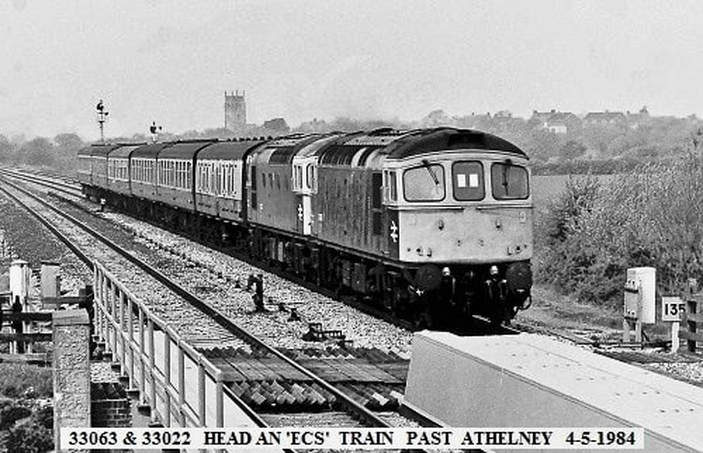
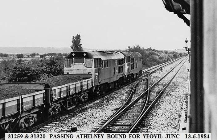
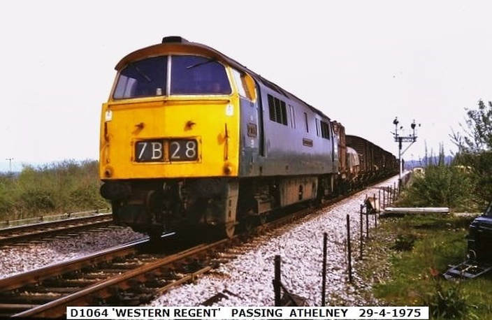
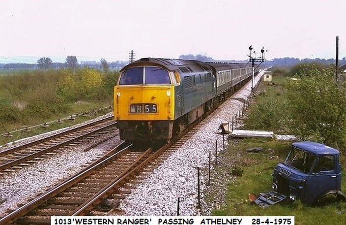
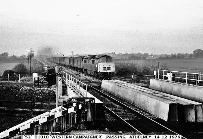
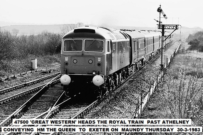
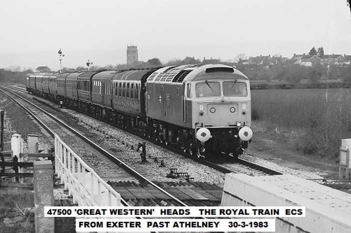
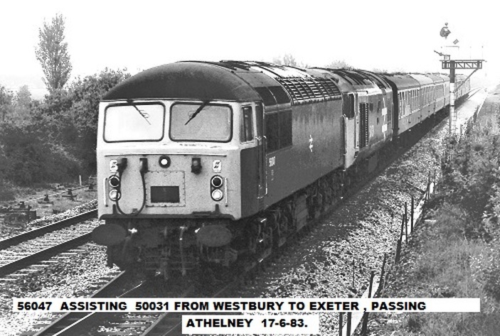
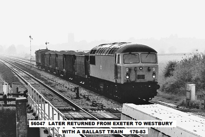
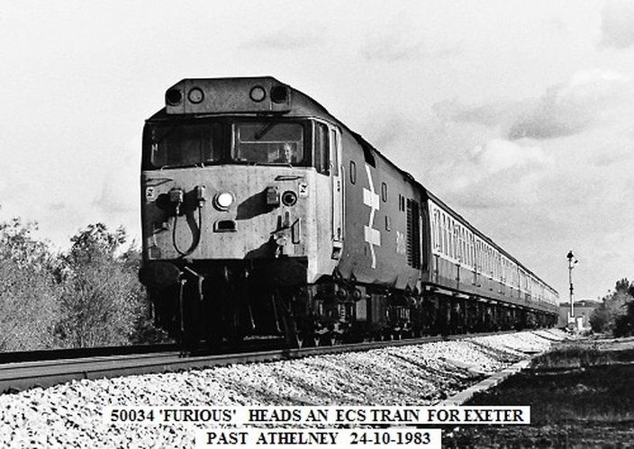
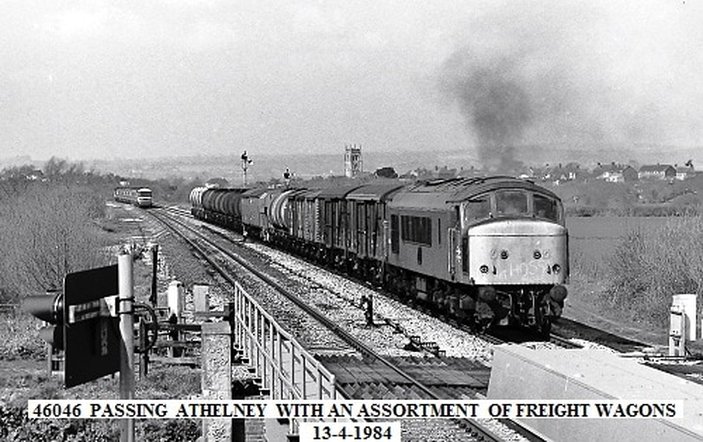
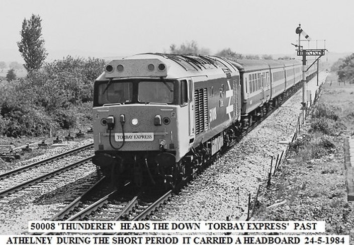
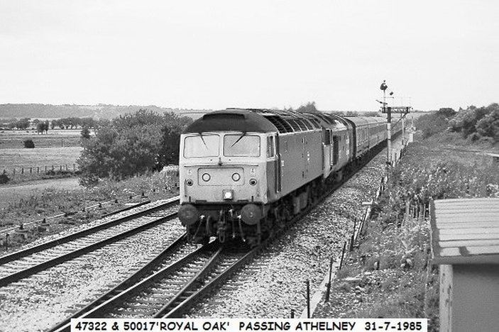
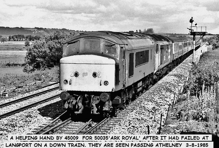
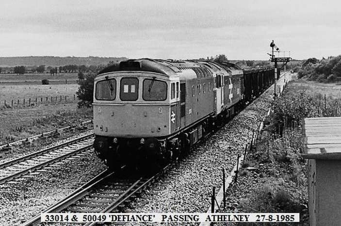
Athelney Eight miles from Taunton via direct route
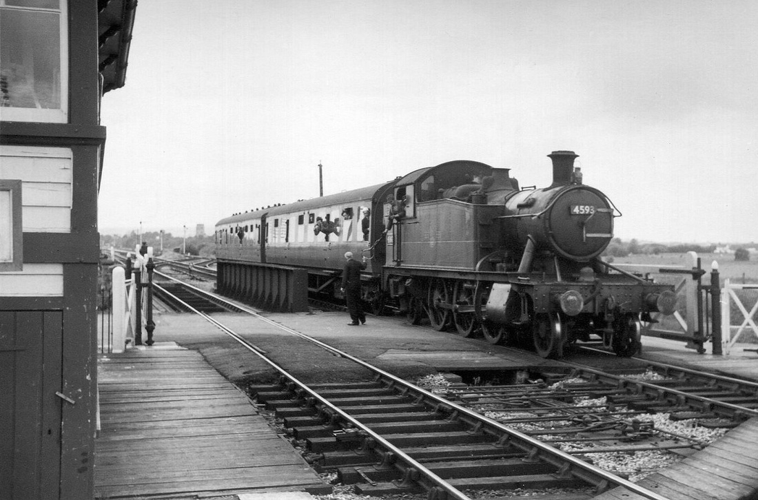
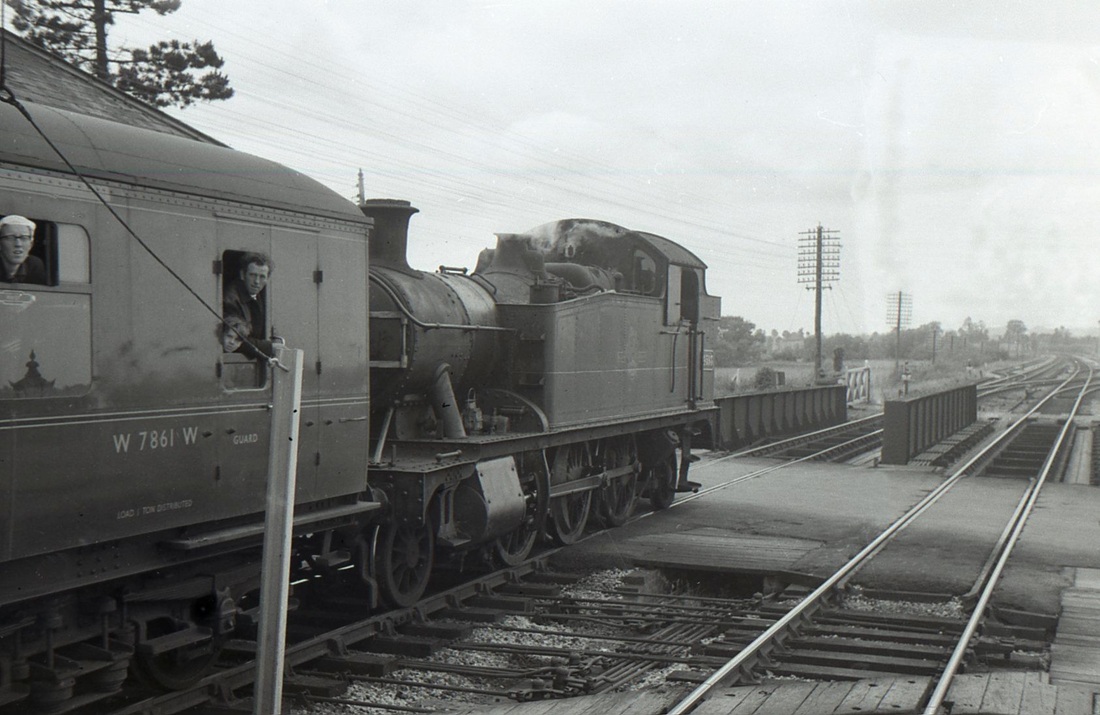
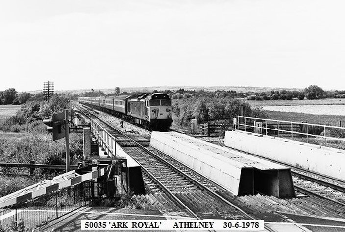
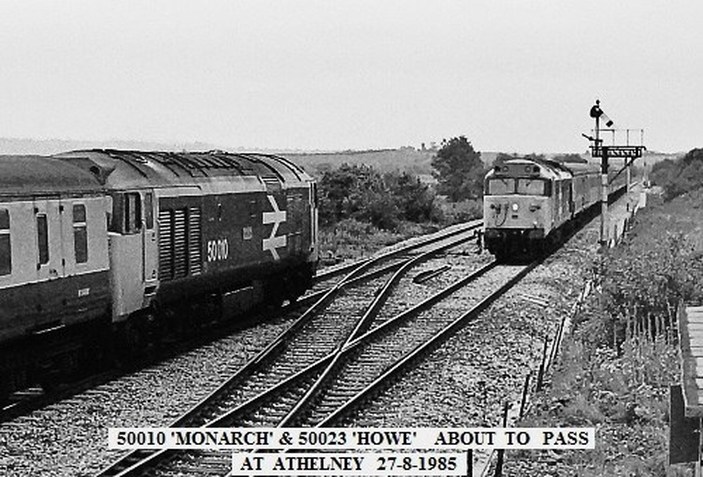
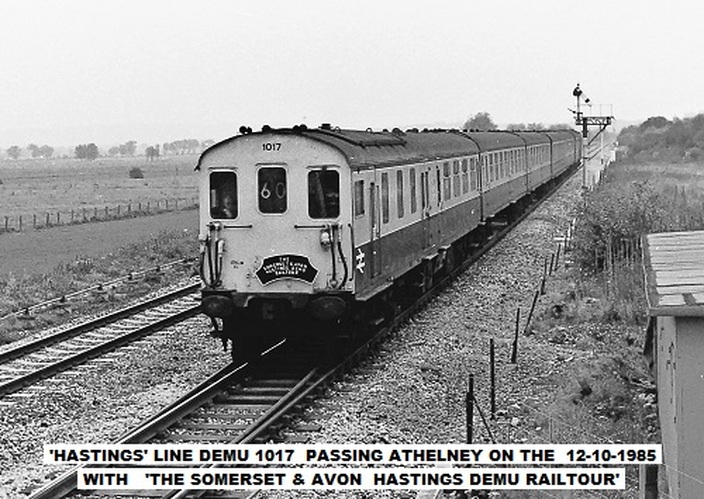
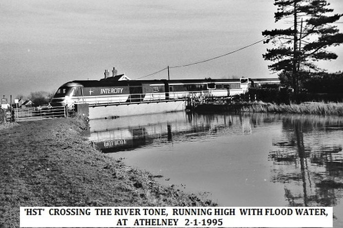
A lovely and very interesting composition by Mike Roach taken on 13th July 1964 . Other photographers are in evidence on the train, the signalman takes the electric train staff which has covered the section from Durston, this passes Lyng Church, seen in the background. The train crosses both the waterway and the road, this crossing was the scene of a serious accident in 2014. The double track junction soon becomes single line to Durston. Copyright
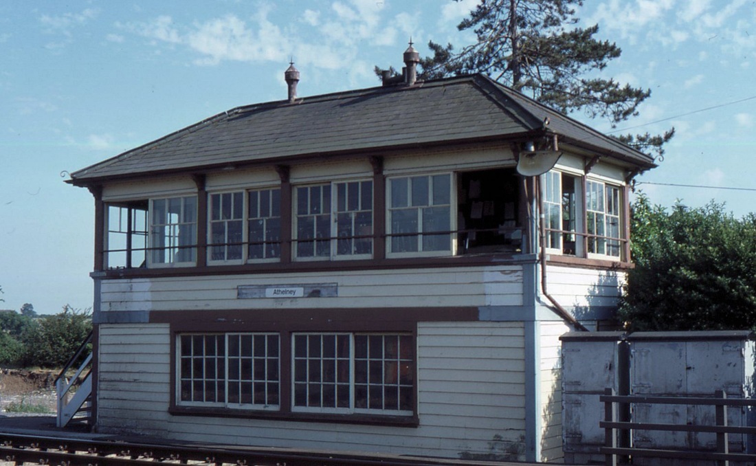
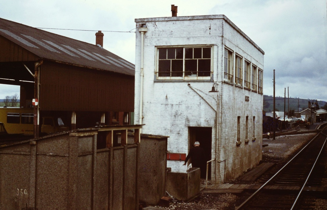
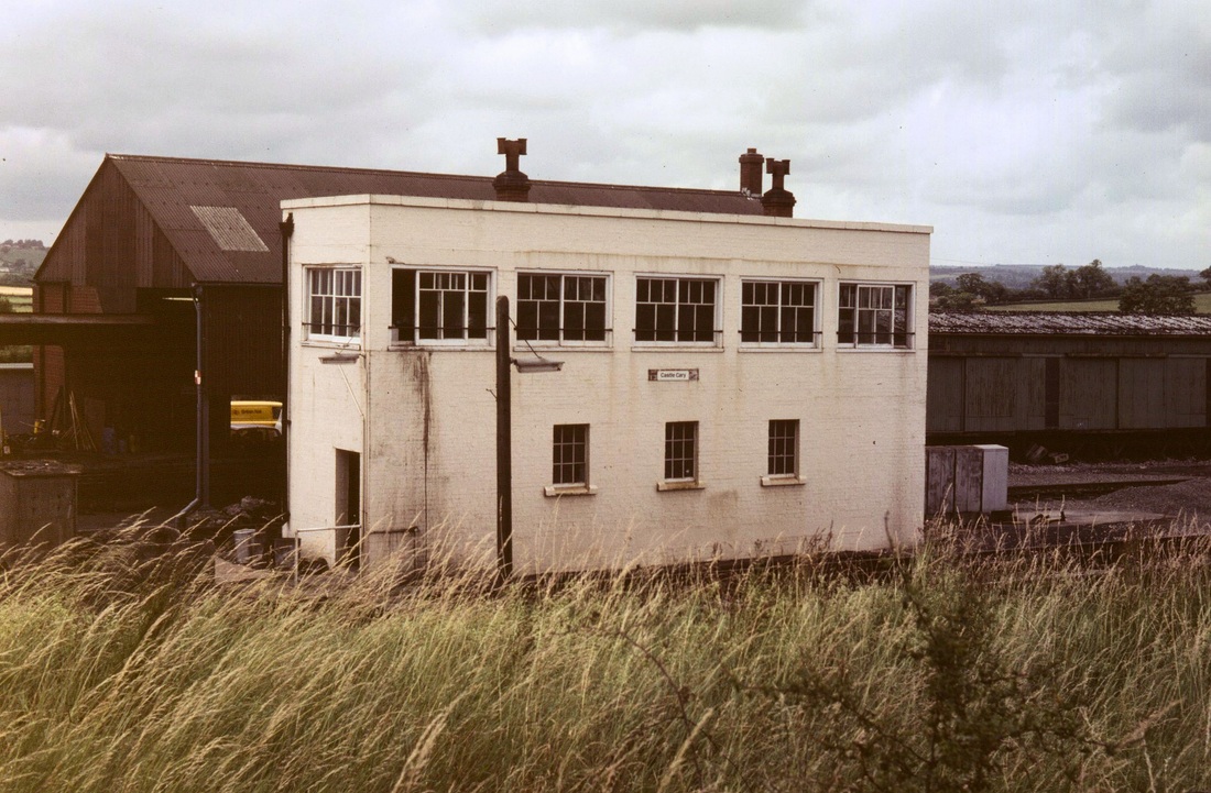
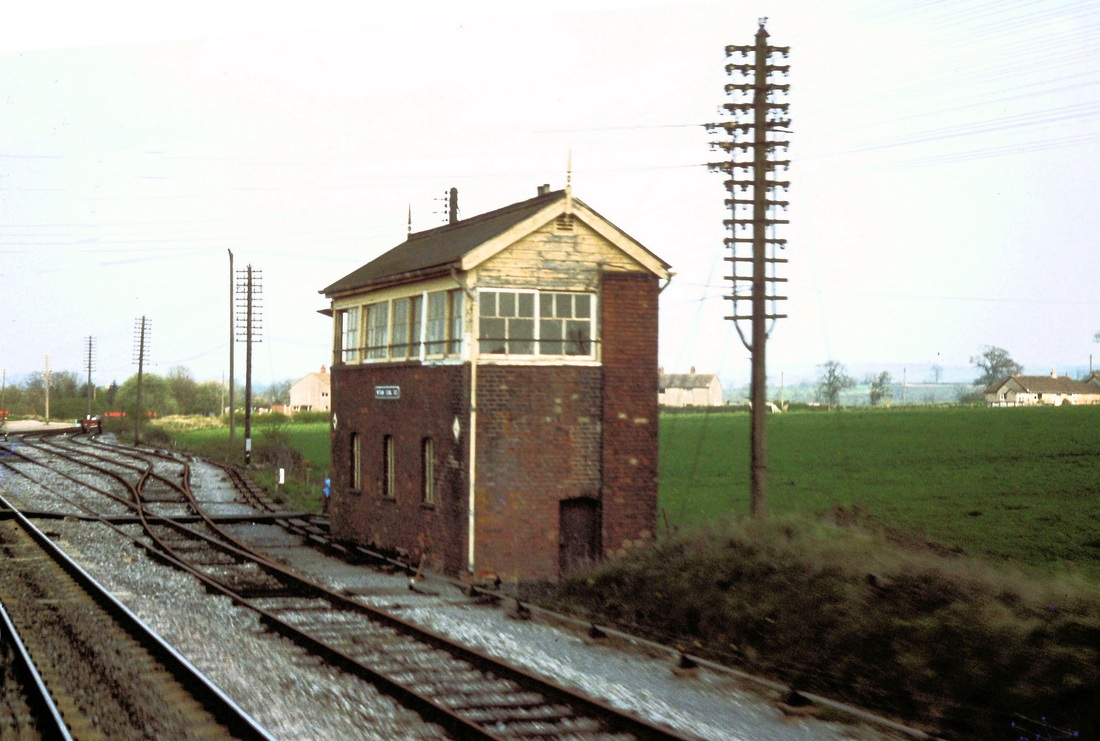
Athelney signal box in September 1984. In its last days, what a shame the cast iron nameplate was removed, note also evidence of patchings of paintwork. A large light fixed to the corner of the box illuminates this busy yet lonely crossing. The top half of this box still lives on as Bishops Bridge signal box on the South Devon Railway. Copyright Mike Roach
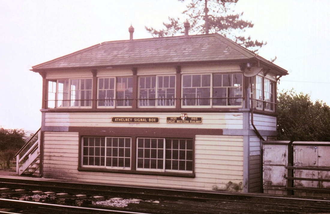
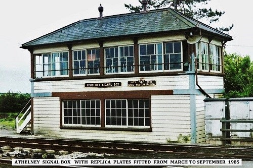
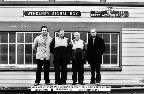
Athelney Signal Box - a welcome improvement. As mentioned in the above picture caption British Rail had sought to standardise the nameplates of signal boxes and as such had removed the cast iron plates on Athelney. How befitting therefore that in its dying days an enterprising group replaced the BR sign with a replica sign. and commemorated the 150 years anniversary of the GWR. Photographed in 1986 by Chris Osment Copyright PLEASE SEE THE STORY BELOW.
Athelney Signalbox - the true story about the nameplates by John Cornelius
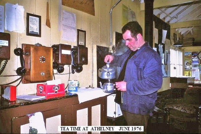
Hello Keith, the replica nameplates that were fitted to Athelney box in 1985 were made by me using plywood.
I had taken a rubbing of the original plate not long after I went there as signalman in 1976,
so I was able to make a full size replica. The other one commemorating the 150 anniversary,was
purely my own handiwork. After getting permission from management, I exhibited them on the box from
April to the end of September 1985. I still have both the plates at home over 30 years on.
By the way, tomorrow 5th April 2016, is the 30th anniversary of the closure of Athelney signal box.
I did the last shift,and after the last train, which passed at 2035, had cleared Cogload Junc,
I closed the box for the last time,then watched as the s&t stripped out all the equipment.
a very sad time. I think someone in the Glastonbury area bought the original box nameplate.
On a lighter note, happily the box was saved and now proudly signals trains at Staverton on the
South Devon Railway. I have visited the box once, since it was restored to working order
and when I walked in, it was just like going home, sheer magic! cheers JOHN C.
More Gems and another Athelney story by John Cornelius
John Cornelius writes -
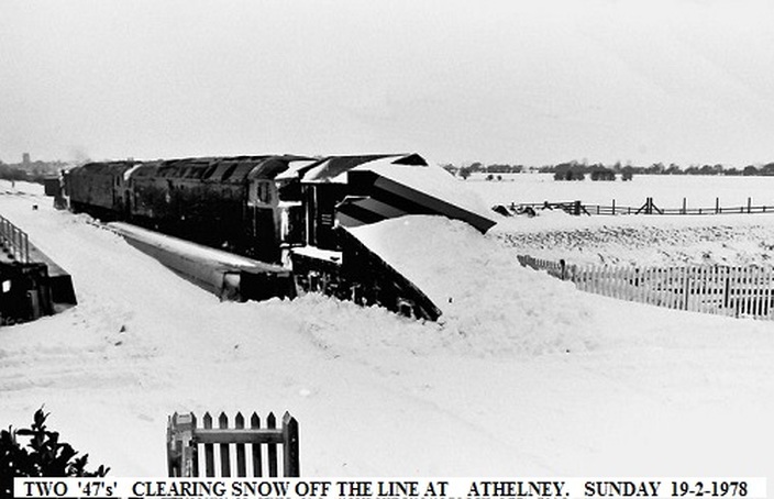
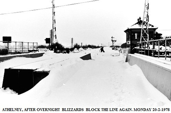
Here are a few pics of Athelney that I took of the snow after the blizzards in February 1978. No trains ran on the Sunday only the snowplough clearing the line,which later got stuck between Castle Cary and Yeovil Pen Mill!. Sunday night after more blizzards it was just as bad again on Monday morning.
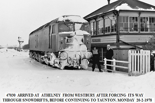
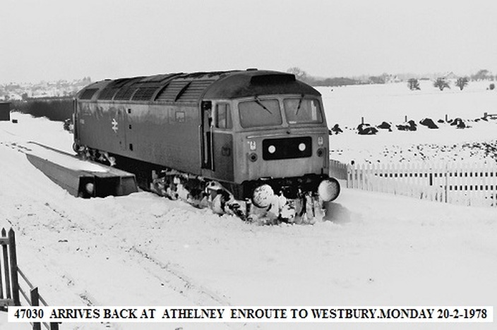
However a loco was sent from Westbury to try to get through to Taunton, which it did eventually.
On its return, Chief Signalling Inspector Mr JOHN FORRESTER from Bristol was on the loco and advised me that providing they got through to Westbury and if I could work my signals,they would start running trains.
So in the late afternoon the services resumed. As I couldn't get home I arranged to stay with friends in Taunton for a few days,travelling out and back by train each day, which meant getting a special stop order for the trains to drop me off at the crossing. It was the following Friday when the roads had been cleared that I finally got home. Quite an experience! Cheers John C Many thanks John
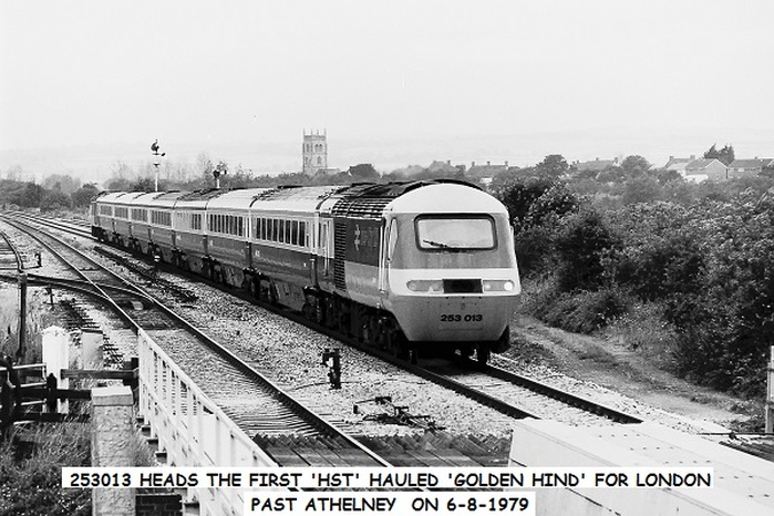
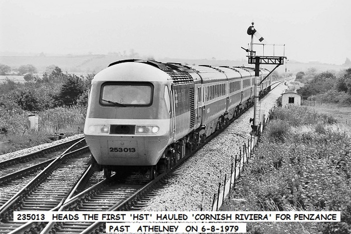
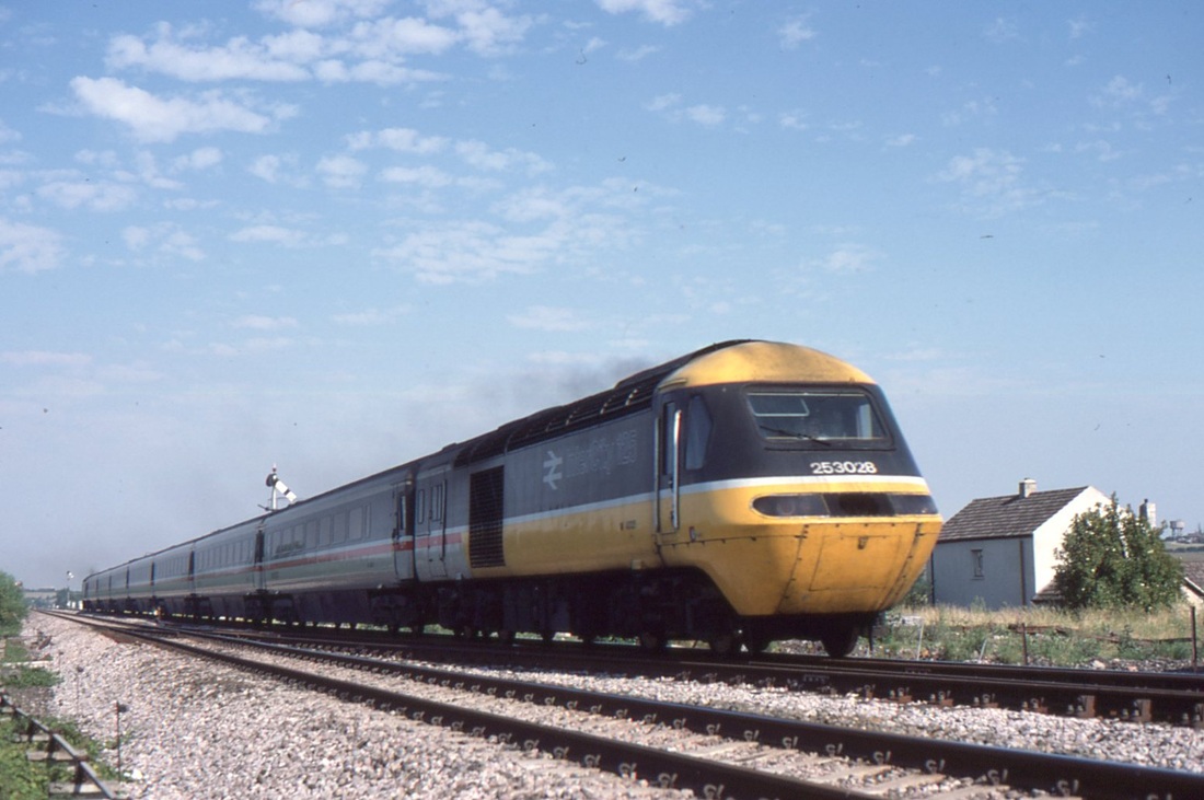
Re pictures above. GOOD MORNING KEITH, as a follow up to Roger Winnens pic of the first 'hst' hauled 'Golden Hind'at Clink Road on 6-8-1979,being on early turn that day, I photographed it passing Athelney on the way up to London. Following a fairly quick turn around at Paddington, it then worked the first down
'hst' hauled 'Cornish Riviera' to Penzance. Likewise, the 'hst' set that later worked the up 'Cornish Rivera' to London , returned on the down 'Golden Hind'.
These trains ran to the loco hauled timings for sometime and it was not unusual for the down
'Cornish Riviera' to be running 15 min early passing Castle Cary. When it was running early
I would always give Taunton East signalman the tip.
cheers JOHN C. Many thanks John. See also Clink Road, Frome.
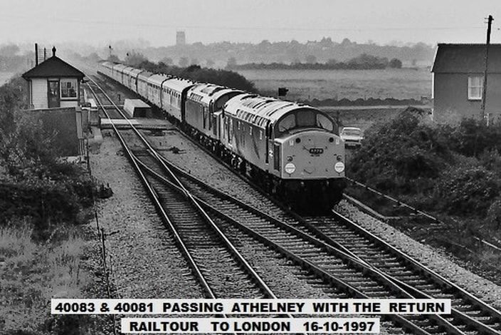
Another incredible picture by John Cornelius as, climbing a nearby signal post. he obtains this panoramic of the scene at Athelney as the class 40 headed railtour rushes over the waterway, the level crossing and past the signalbox. Lyng Church punctuates the horizon. Copyright John Cornelius. John would like it made clear that he wasn't on duty when this picture was taken but took over later in the box.
An interlude at Athelney - more pictures from the collection of John Cornelius - many thanks John.
Church of St Bartholomew at East Lyng in the parish of Lyng, Somerset, England dates from the 14th century and has been designated as a Grade I listed building.[1]
The Anglican church at lyng is dedicated to St Bartholomew, and is thought to have been built by the monks who were displaced from Athelney Abbey when it was dissolved by King Henry VIII of England in 1539.[2] It stands on the site of an earlier fortress. Remedial work appears to be ongoing. Copyright John Cornelius
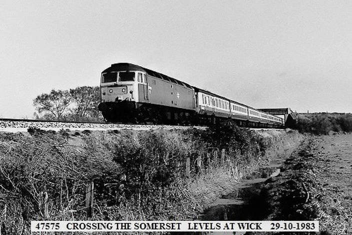
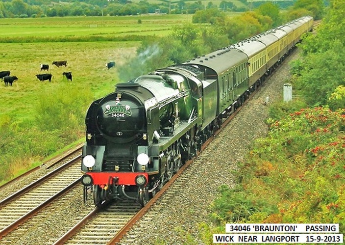
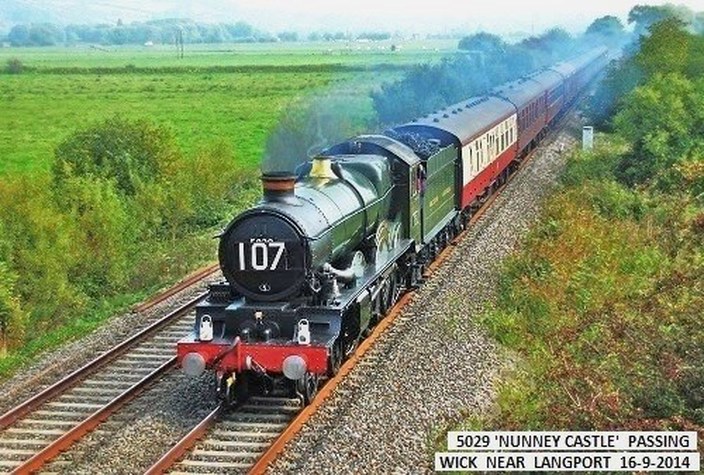
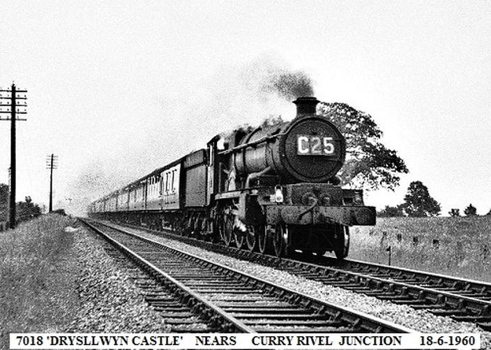
Wick 1/2 mile west of Curry Rivel Jct
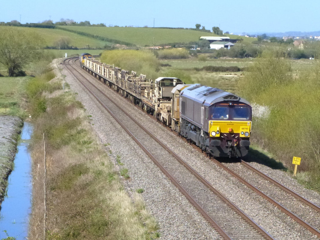
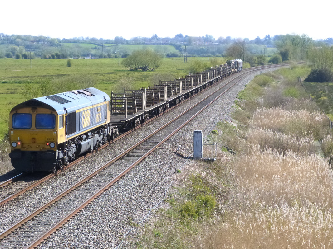
An empty welded rail train returns from the relaying project Crediton to Okehampton
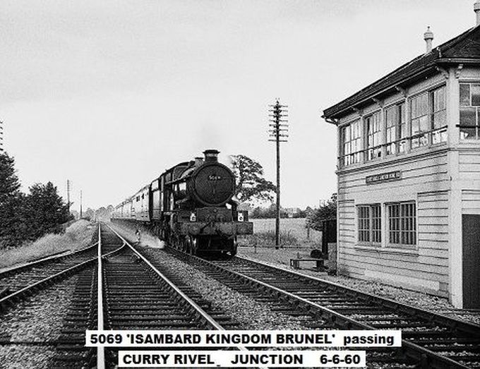
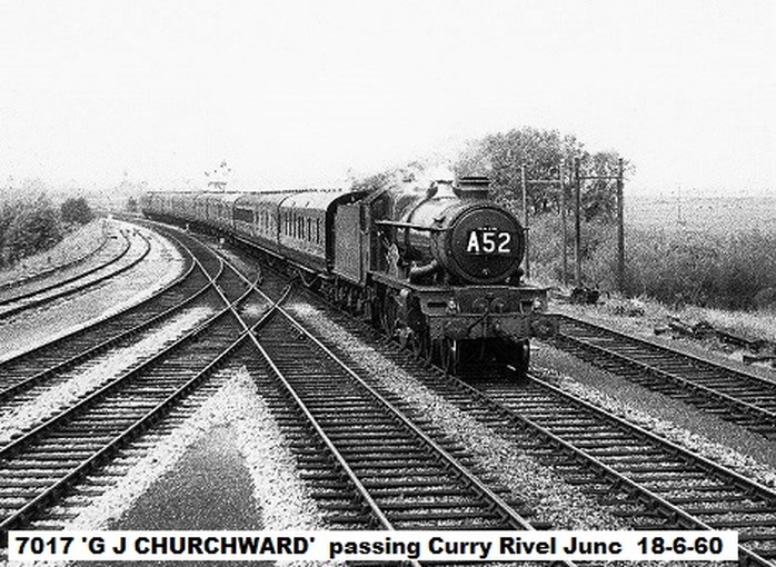
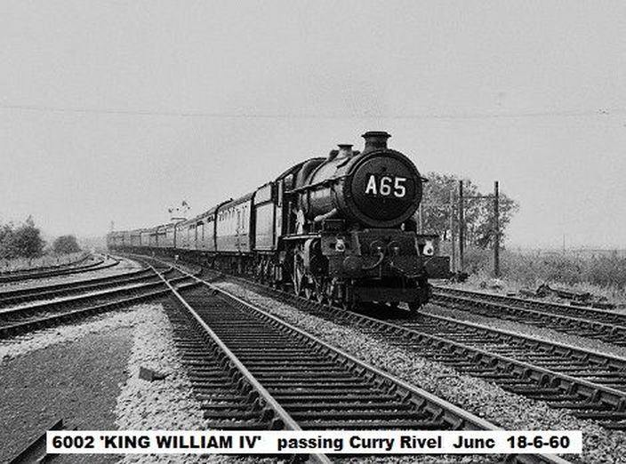
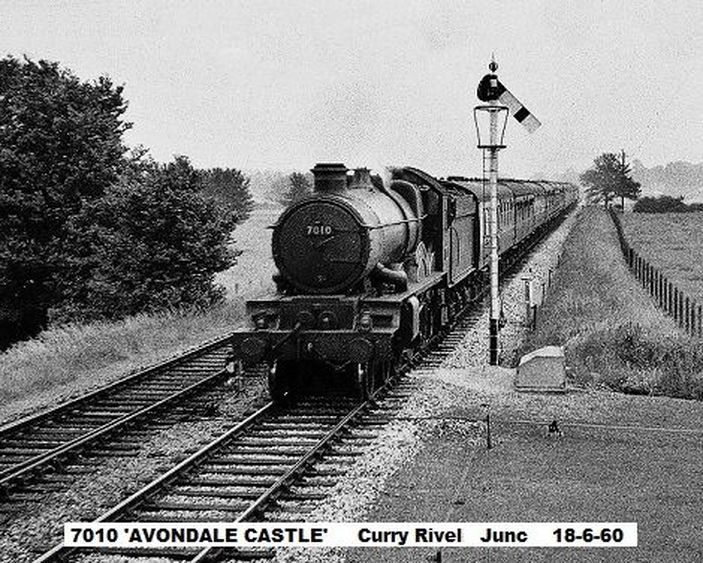
Curry Rivel Junction. The signalbox at Curry Rivel was situated some 130 and three quarter miles from Paddington. Athelney was some four miles further west.
An interlude at Curry Rivel Junction with John Cornelius - - -
A short distance from the junction down the branch was an over bridge. It was suggested that this may have been used to provide the signalman with access. However John Cornelius cooments. I doubt if any photographers ever took pictures from the occupation bridge,on the branch,as it was accessed only by a rough farm track off the road from Langport to Wick, a longish walk and a bit out of the way. The signalmen used to ride along the cess from Langport West Station to get to the box.
I used the farm track the first time I went to the junction,leaving my bike at the lower end and walked to it. On my second visit, having shown the pics I took on the first visit too the station master at west station I asked if I could cycle out to the junc to which he readily agreed,but to keep look out in case any trains appeared on the branch. After an enjoyable few hours there,I returned the same way. great days CHEERS JOHN C.
I used the farm track the first time I went to the junction,leaving my bike at the lower end and walked to it. On my second visit, having shown the pics I took on the first visit too the station master at west station I asked if I could cycle out to the junc to which he readily agreed,but to keep look out in case any trains appeared on the branch. After an enjoyable few hours there,I returned the same way. great days CHEERS JOHN C.
A further historical and geographical note from John Cornelius. The area of land on which the box is sited is in Curry Rivel Parish hence the name rather than say 'Langport Junction'. Actually neither 'Langport East' or 'Langport West' were in the Parish of Langport, East station was in the parish of Huish Episcopi and West station was in the Parish of Curry Rivel. So now you know!!
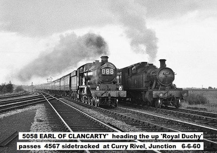
A quite remarkable picture taken by John Cornelius from just to the west of Curry Rivel Signalbox. Here we have, two for the price of one, two locos as a prairie waits in the up loop. The double track bearing off to the left are the metals of the Yeovil branch which was double track as far as Langport West. There was a further loop line which can just be seen beyond the metals of the Yeovil branch. Copyright
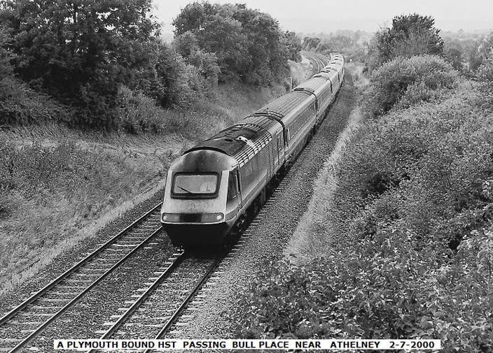
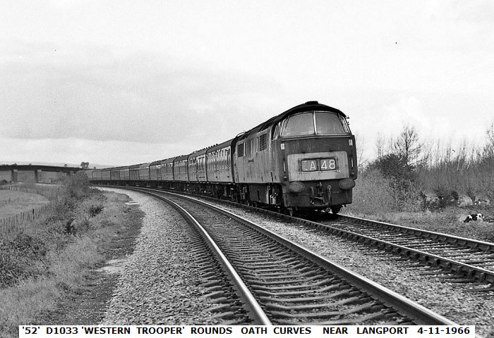
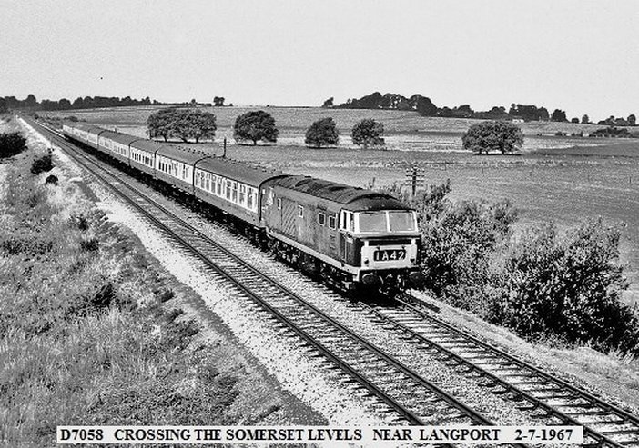
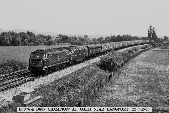
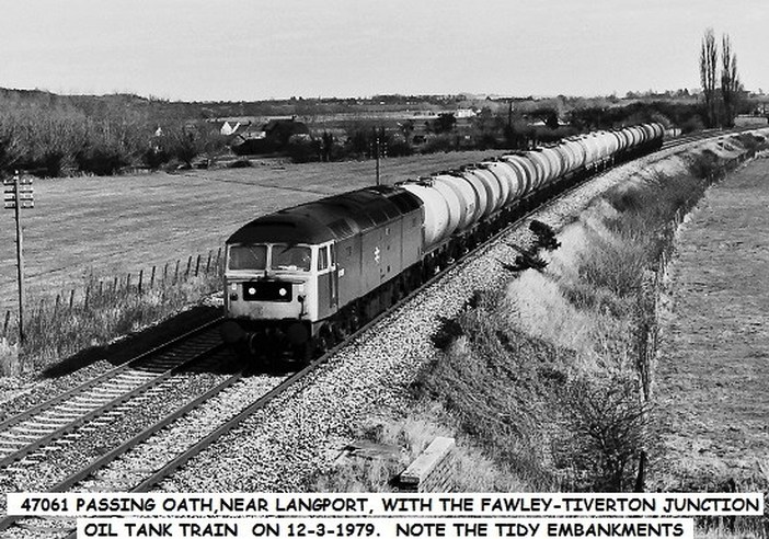
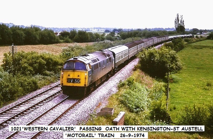
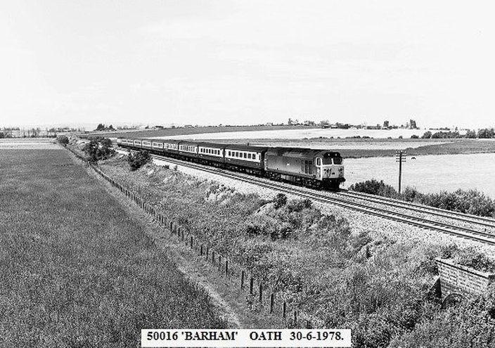
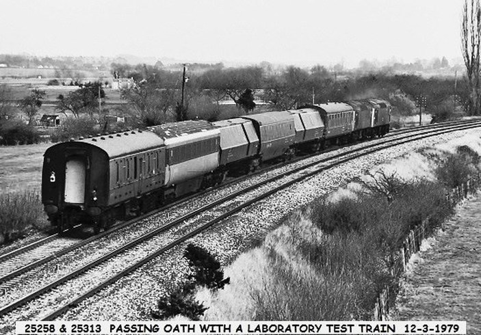
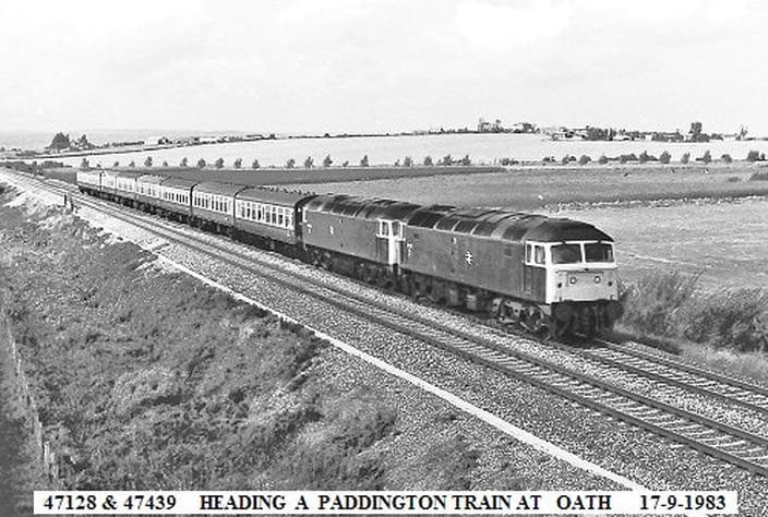
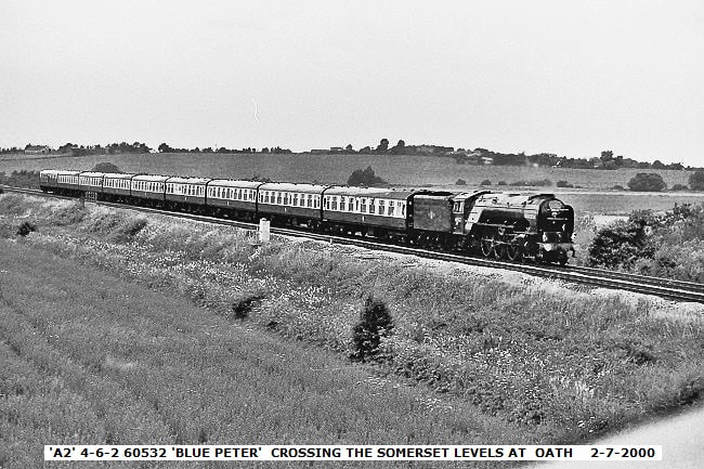
Oath is a small village about two and three Quarter miles west of Langport.
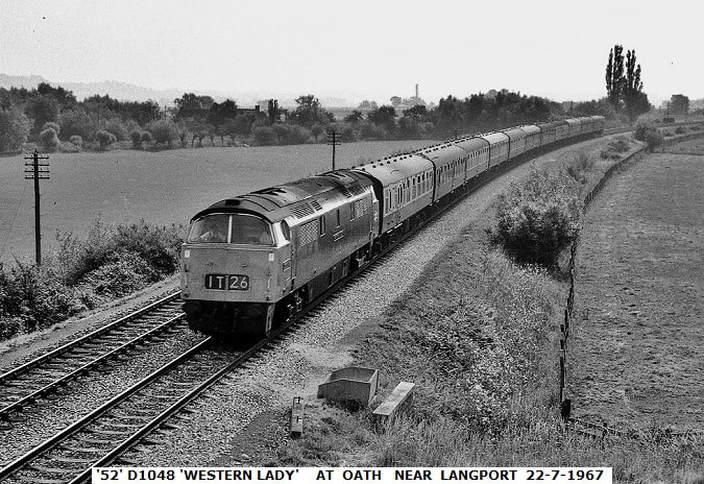
Having arrived at the Midland Railway Centre in March 1997, this locomotive is privately preserved and forms part of the Midland Diesel Group fleet, currently non-operational. Work is in hand to return the loco to working order.
D1048 Western Lady was designed at Swindon and built at Crewe in 1962 and is one of seven preserved, ex BR class 52 diesel hydraulic locomotives withdrawn from BR service on the Western Region over 20 years ago.
Copyright John Cornelius
Langport Viaduct
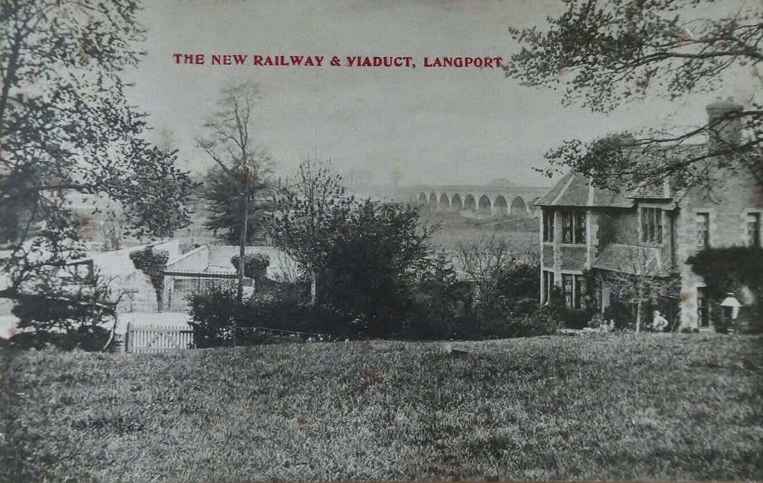
A vintage postcard image c1906 showing the newly constructed viaduct at Langport, Somerset on the then recently opened Castle Cary-Curry Rivel line, part of the GWR's shorter route to the west country. This followed on from the building of the Patney & Chirton-Westbury route via Lavington which opened in 1900. At the same time as the Langport route was built a further stretch of new line was constructed from just beyond Athelney to Cogload where a flat junction was provided, this being replaced by the current split-level 'flying junction' in 1931. This high-speed stretch relegated the section of the original Taunton-Yeovil route from Durston to Athelney (via Lyng Halt) to secondary branch-line status, as had happened to the Patney-Holt Junction line via Devizes in 1900. By 1933 cut-off lines had been built avoiding both Westbury and Frome so making through journeys even quicker. Langport boasted two stations, Langport East on the direct cut-off route and Langport West on the Curry Rivel-Yeovil Town section of the former Taunton-Yeovil branch line. East opened on 2nd July 1906 and closed to both passengers and goods on 10th September 1962 ahead of the Beeching report and, despite repeated calls for it to re-open this has yet to happen. West closed along with the whole of the Taunton-Yeovil route to passenger traffic on 15th June 1964.
Guy Vincent Many thanks Guy.
Guy Vincent Many thanks Guy.
Langport (East) Thirteen miles from Taunton
Long Sutton and Pitney Fifteen miles from Taunton
Long Sutton and Pitney a minor railway station situated in the hamlet of Upton, Somerset, about one mile equidistant from the two larger villages the station was named after. Absolutely nothing of it remains, a picture of the site exists on Google Earth. Position 51.02deg 23" North 2.46 deg 36" west.
Long Sutton and Pitney a minor railway station situated in the hamlet of Upton, Somerset, about one mile equidistant from the two larger villages the station was named after. Absolutely nothing of it remains, a picture of the site exists on Google Earth. Position 51.02deg 23" North 2.46 deg 36" west.
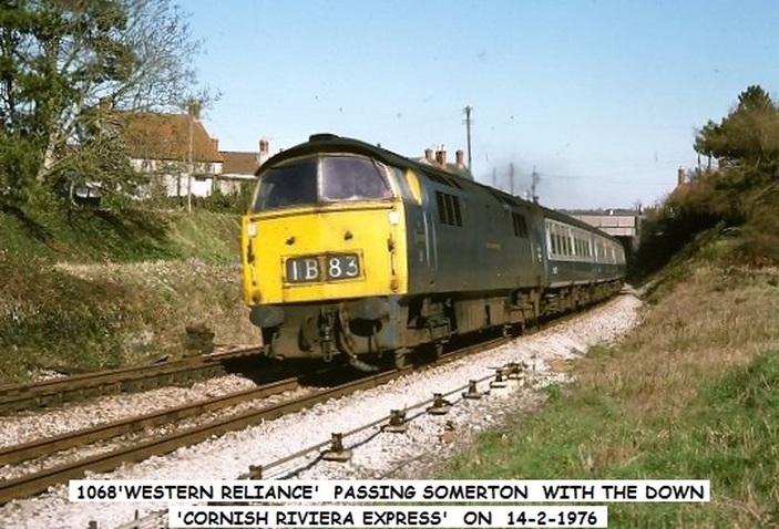
Somerton tunnel - the first tunnel out of London 126 miles from London.
The tunnel is 1.056 yards long. One workman was killed during the building of the tunnel when some blasting dynamite, which was being used to excavate the area, failed to detonate as planned. (Wilkipedia)
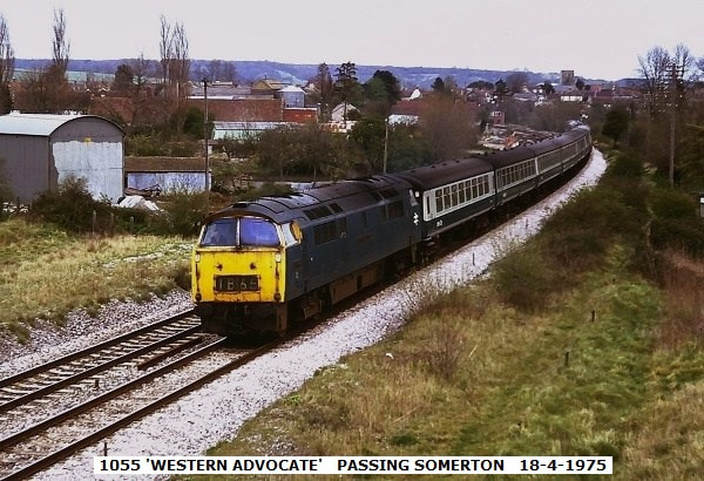
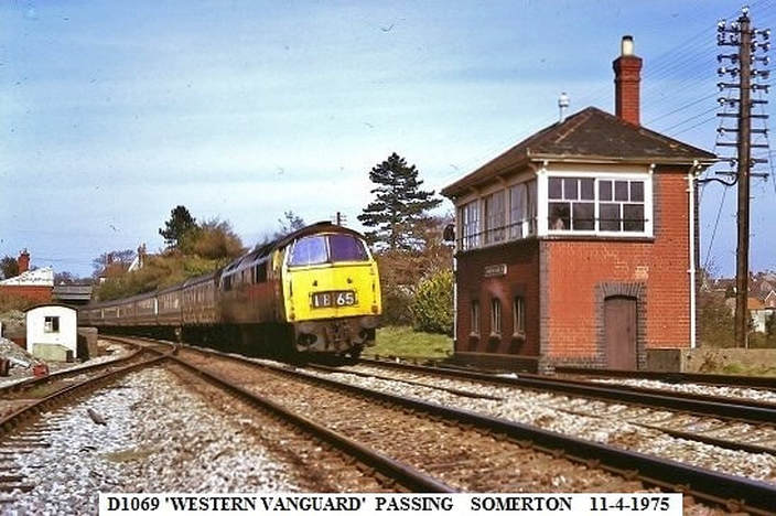
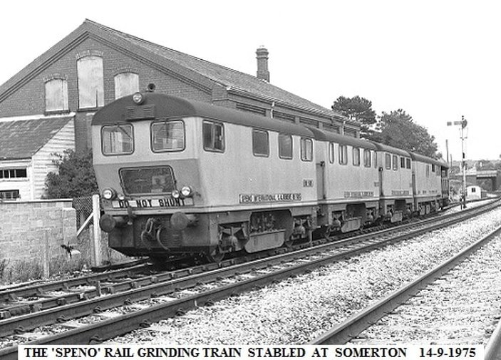
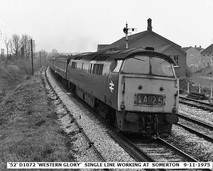
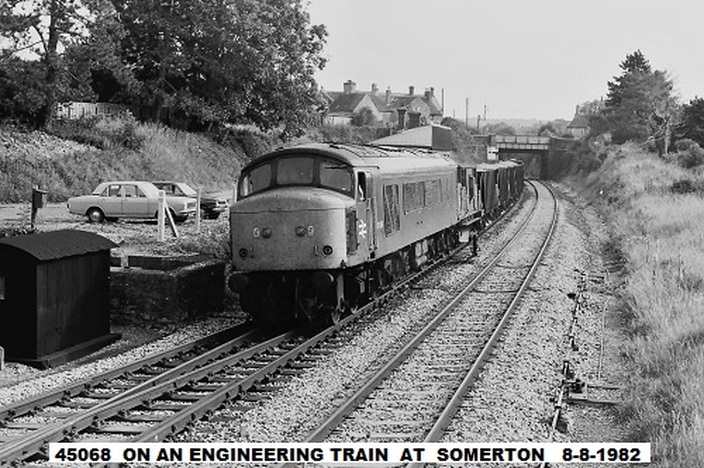
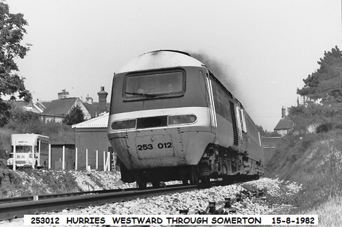
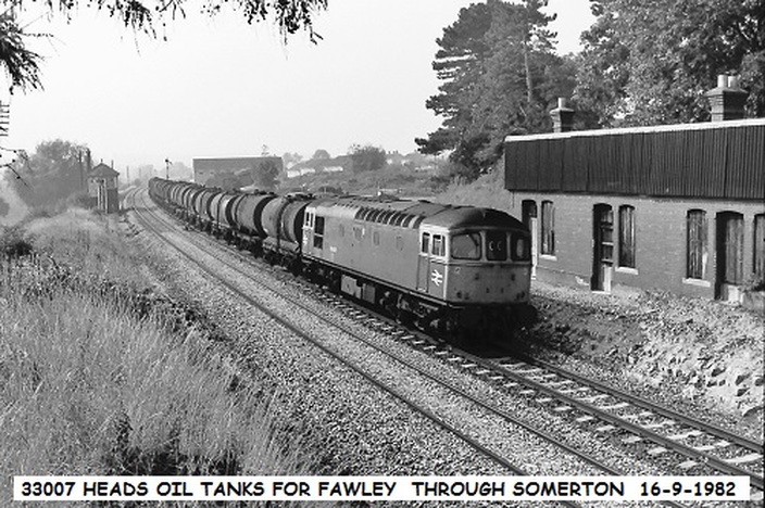
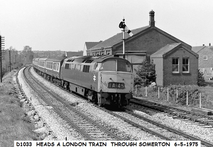
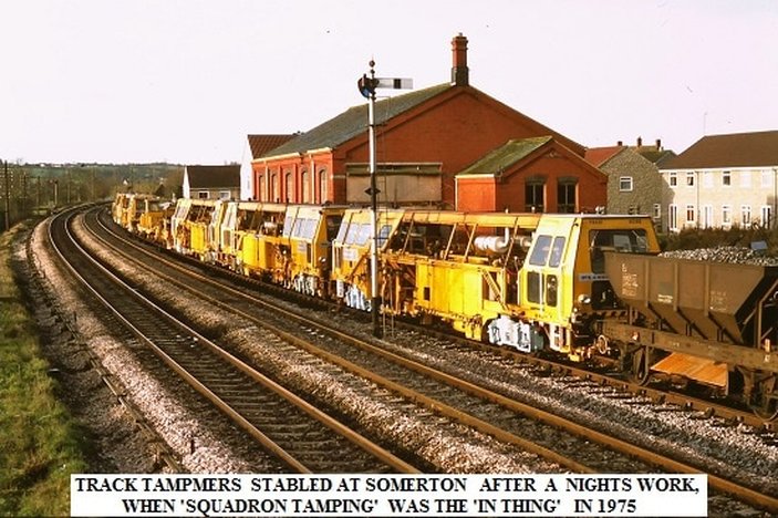
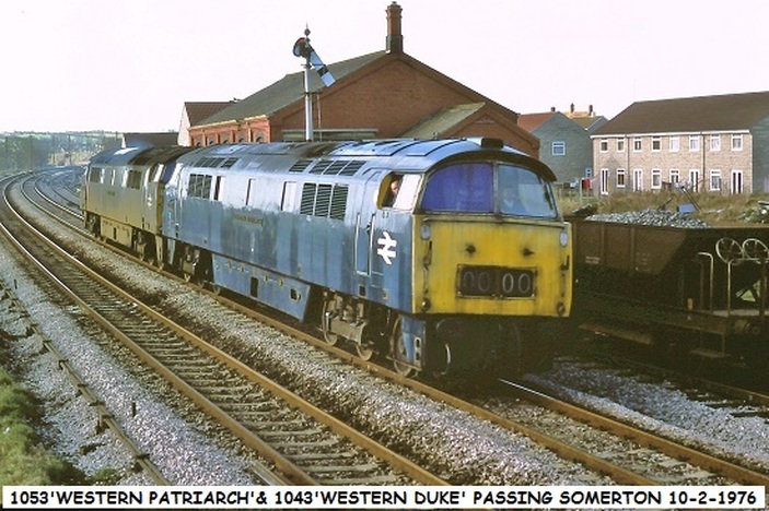
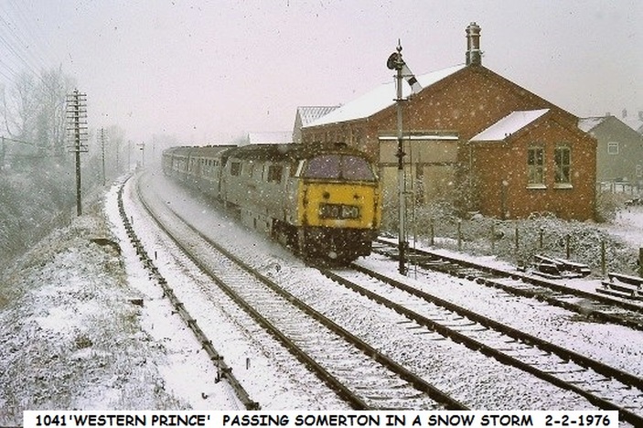
Somerton Seventeen and a quarter miles from Taunton
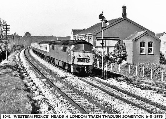
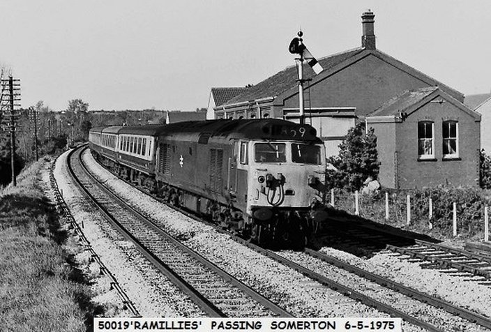
Somerton station has received the same treatment as at Langport East - the Canopy has been lopped off and the station building made fit for further use - see note from John Cornelius below.. At first sight this picture would appear to have been taken from inside the fence. However, at this location the walled enclosure in the next but one above picture provided access for a view east along the station front and towards the main road bridge. Copyright Roger Winnen.
Note from John Cornelius
He writes :- Sadly I don't have any pictures of Somerton station before it was demolished. When I worked there , the main up platform building was still there, the Langport end was used by p/way as a store room. The toilet at Castle Cary end was for the use of signalmen only. To stop unauthorised use, it was locked and the key kept in the signalbox.
He writes :- Sadly I don't have any pictures of Somerton station before it was demolished. When I worked there , the main up platform building was still there, the Langport end was used by p/way as a store room. The toilet at Castle Cary end was for the use of signalmen only. To stop unauthorised use, it was locked and the key kept in the signalbox.
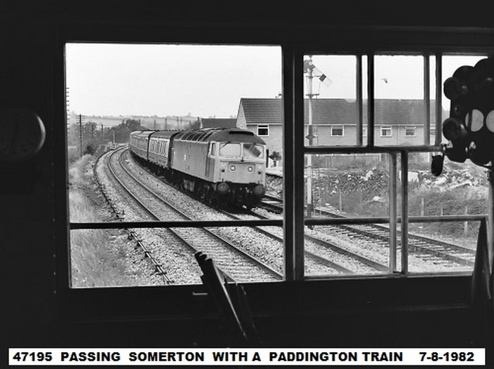
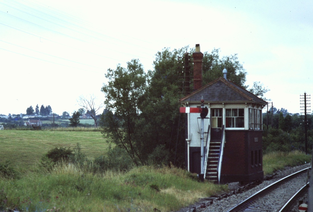
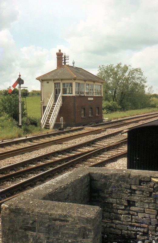
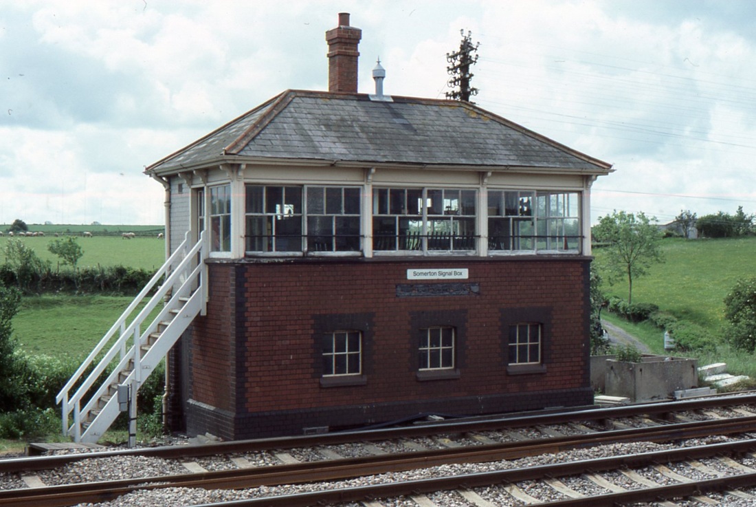
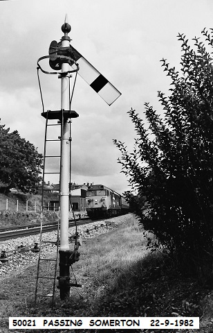
A beautifully framed view, from Somerton signalbox taken by one time signalman here John Cornelius. He is looking west over the area once occupied by the Goods shed. Copyright John Cornelius. This station, opened on 2 July 1906, was officially known as "Somerton (Somerset)" to avoid confusion with "Somerton (Oxon)". It lay partly in a cutting. The main building was on the eastbound platform with the goods shed at the west end of this platform. Somerton box opened with the 'Berks and Hants' in 1906. This required a new lever frame in the box, which was installed on 20th December 1942. The box was a standard GW type 7 (the signalling record society classification- Truro and St Blazey are of this type.
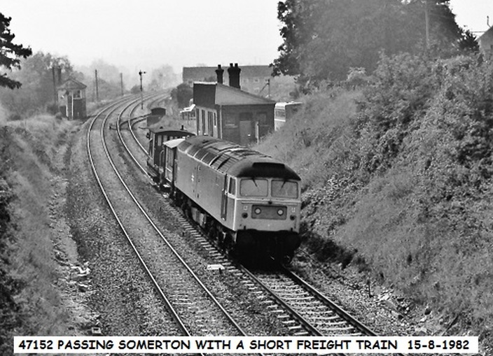
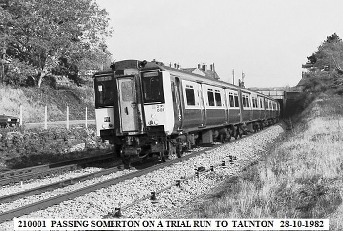
Somerton station closed to passengers on the 10th September 1962 and to goods on the 8th July 1964. Here it is some twenty years after closure to passengers. The siding still remains as does the signalbox. The station building remained in use for some time - the toilet being available for use by the signalman, the rest of the building being in use by other concerns. Copyright John Cornelius
Between Somerton and Charlton Mackrell
Charlton Mackrell Twenty and a half miles from Taunton
The station was a temporary terminus station for the railway serving trains to and from Castle Cary before the line through to Taunton was completed in 1906. The station had the main station building and approach on the up side where there was also a substantial goods yard. The station master's house is still exists, the station location can be found on Google Earth 51.03 deg 27" North and 2.40 deg W
Keinton Mandeville Twenty two and three quarter miles from Taunton
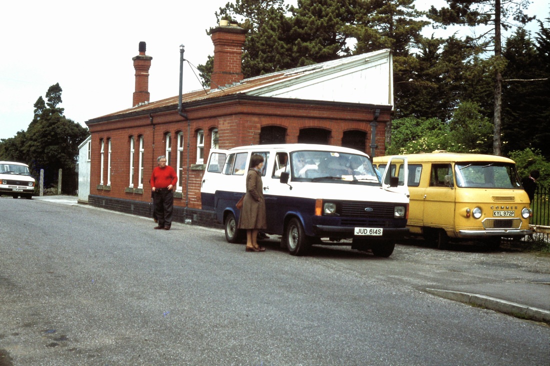
Was a substantial station with the main building and approach on the up side and a waiting shelter on the down side. The station closed 10th September 1962 but the signal box, to the east of the station remained open until 22nd September 1964. The goods shed, put to other uses remains in situ - the former goods yard is now a scrap yard and is easily recognisable on the up side of the line. Just before the station when heading east the train crosses over the A37 - the Foss Way.
Was a substantial station with the main building and approach on the up side and a waiting shelter on the down side. The station closed 10th September 1962 but the signal box, to the east of the station remained open until 22nd September 1964. The goods shed, put to other uses remains in situ - the former goods yard is now a scrap yard and is easily recognisable on the up side of the line. Just before the station when heading east the train crosses over the A37 - the Foss Way.
Alford Twenty five and a half miles from Taunton
Alford Halt on the Great Western Railway's Langport and Castle Cary Railway was opened on 21 July 1905, three weeks after the line was opened as far as Charlton Mackrell, to serve the village of Alford. It was a simple structure with two concrete platforms. A siding was opened for military goods traffic on 15 September 1940. The halt closed on 10 September 1962.
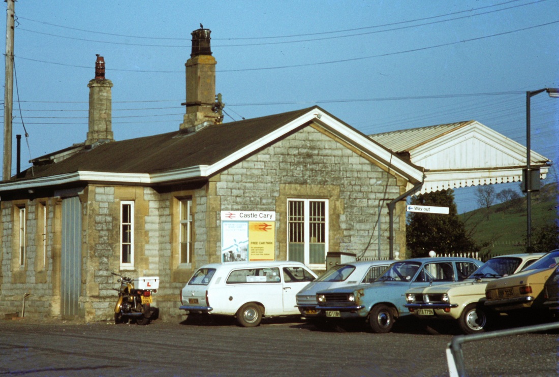
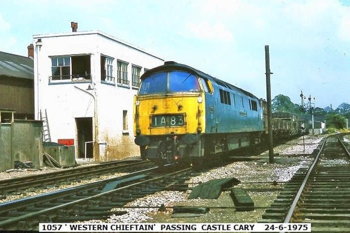
Castle Cary Twenty seven and three quarter miles from Taunton
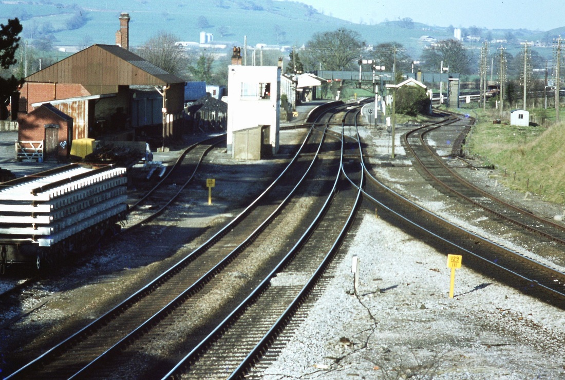
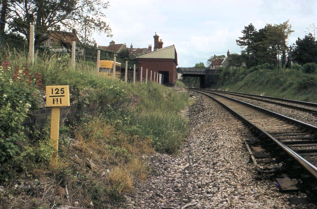
Castle Cary - a view looking east from the road over bridge at the west end of the station layout. Note this taken in the days before the line was re-signalled and the provision of an extra platform face for trains to and from Weymouth was made. Also note the two differing mileposts visible at the same time. Copyright Roger Winnen
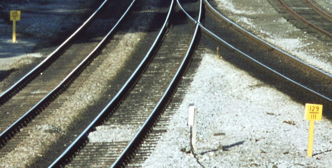
Here are the two mileposts in a closer view. The left hand one reads 115 1/2 and is the ‘new’ mileage from Paddington on the direct route via the Berks and Hants. However the larger figure on the right hand post is the mileage for the ‘old’ route - the original route from Paddington via Swindon, Thingley Junction and the Wilts, Somerset and Weymouth (WS&WR) line (Melksham, Westbury, Frome, Castle Cary, Yeovil etc. Info from Chris Osment. Copyright Roger Winnen
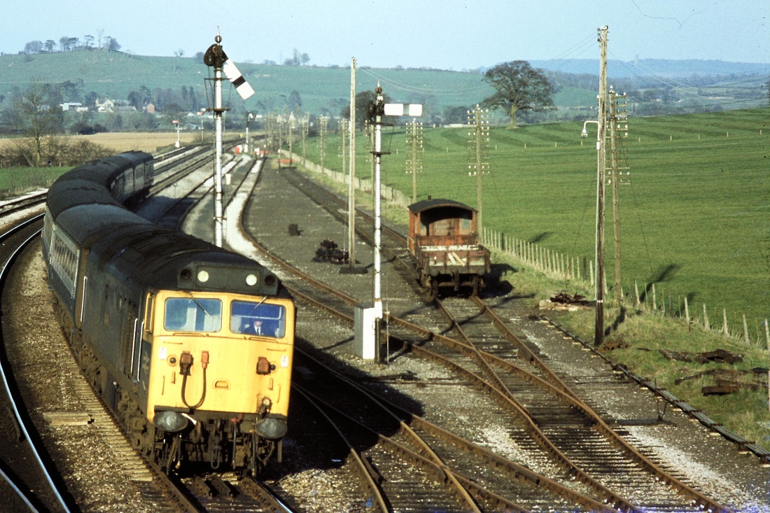
800405at A class 50 brings the 16.30 Paddington-Plymouth into Castle Cary station. 5th April 1980 Copyright Roger Winnen. Note in the distance the hedgerow which is about three quarters of the way up the tree to the right of the signal which is pulled off - this is the course of the Somerset and Dorset Railway which crossed the GW main line to the west of Bruton.
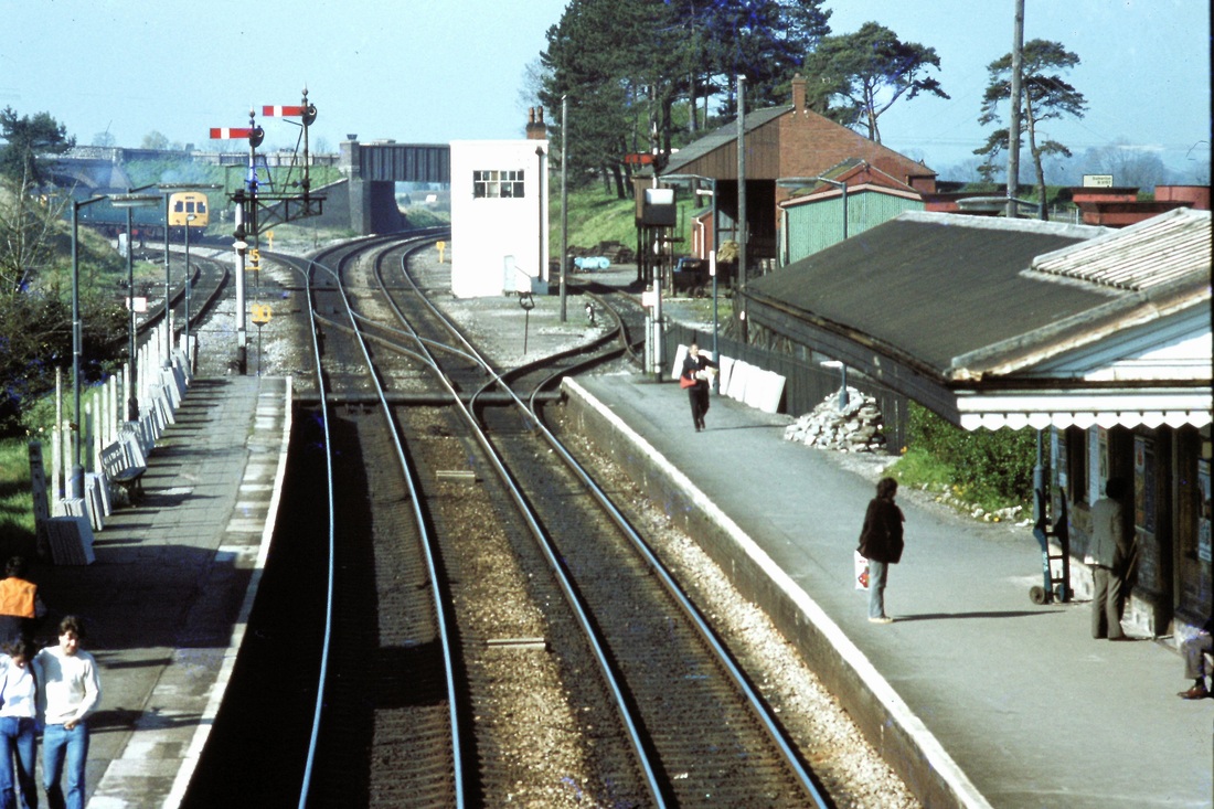
810421bj Castle Cary with a DME to Weymouth heading down branch. 21st April 1981 Copyright Roger Winnen Extra info from Chris Osment - The crossover in the foreground is set normal, so if this was an Up train then it would be running wrong-road on the Down Main. AFAIK up direction movements on the down line were not feasible prior to the 1985 layout alteration (when the back platform road was constructed) as there was not yet then a crossover at the east end to return the train to the Up line
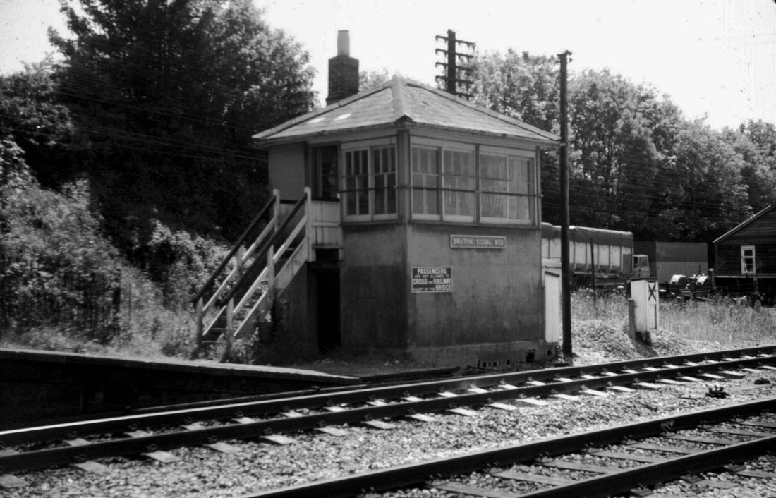
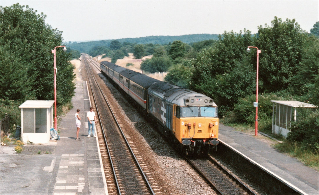
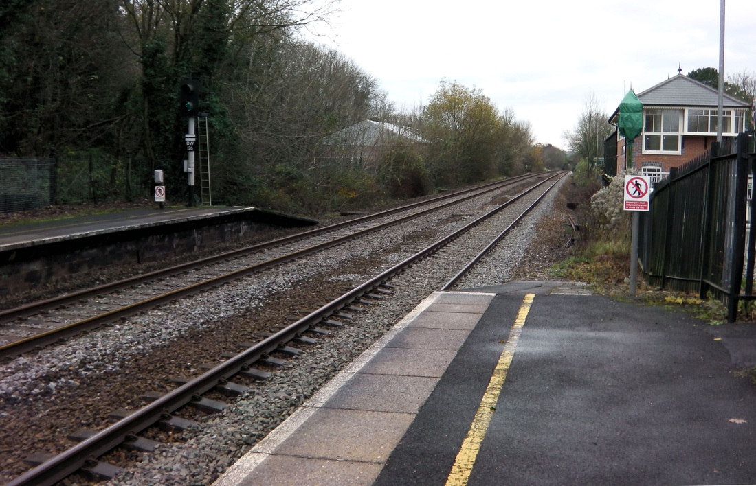
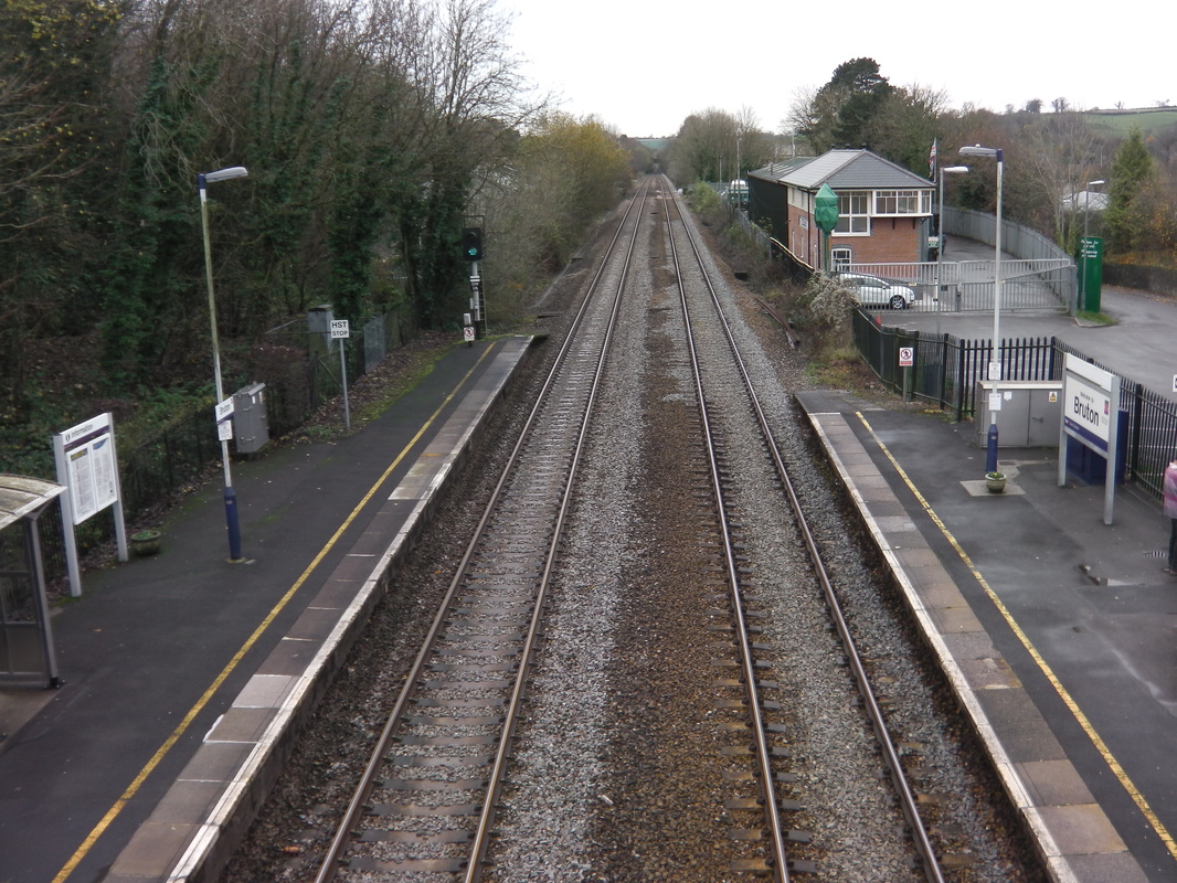
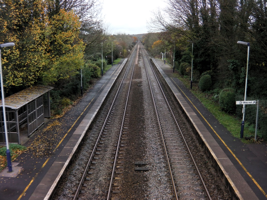
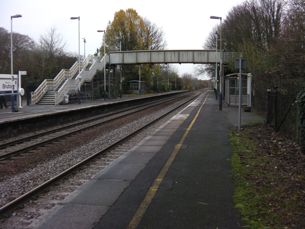
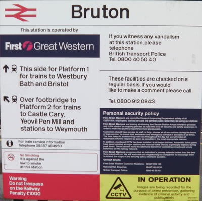
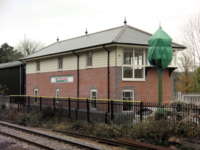
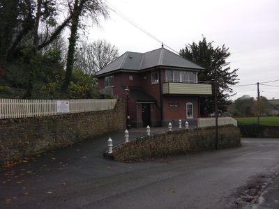
Bruton Thirty one miles from Taunton
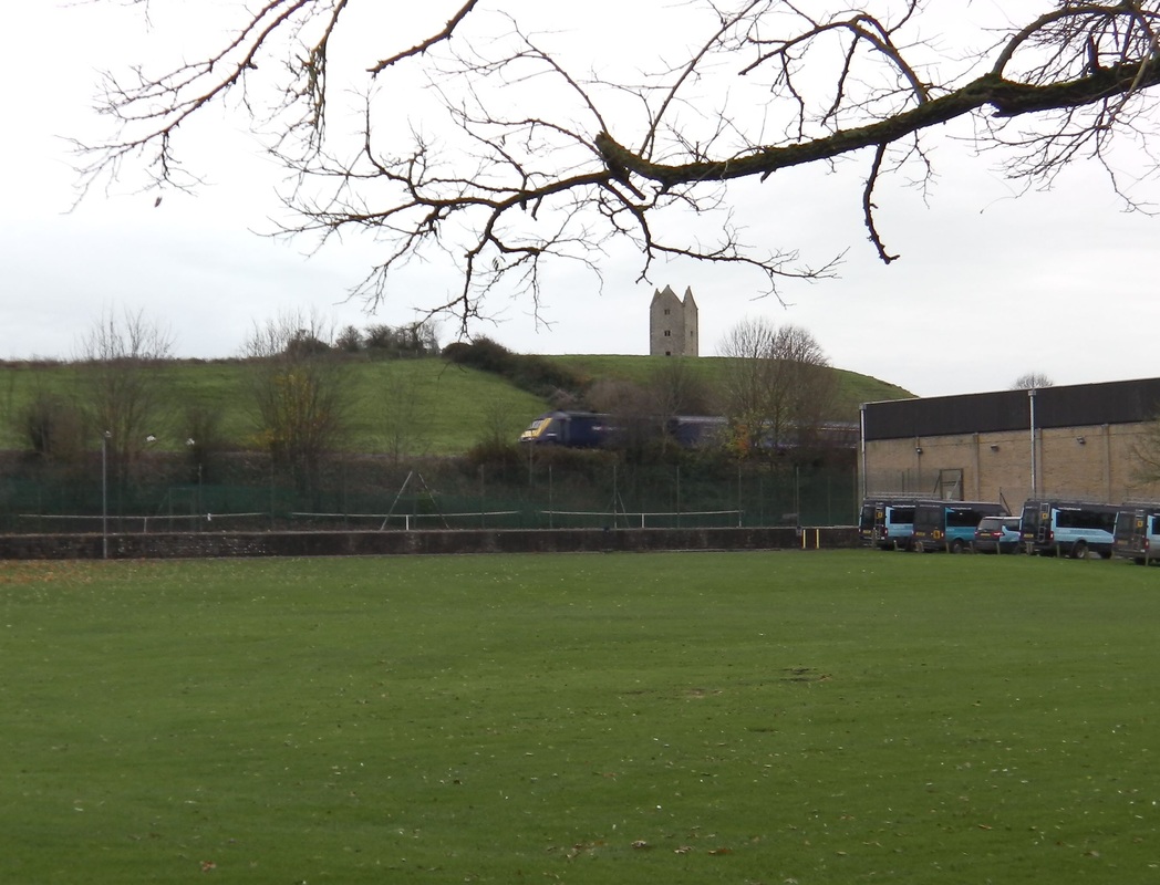
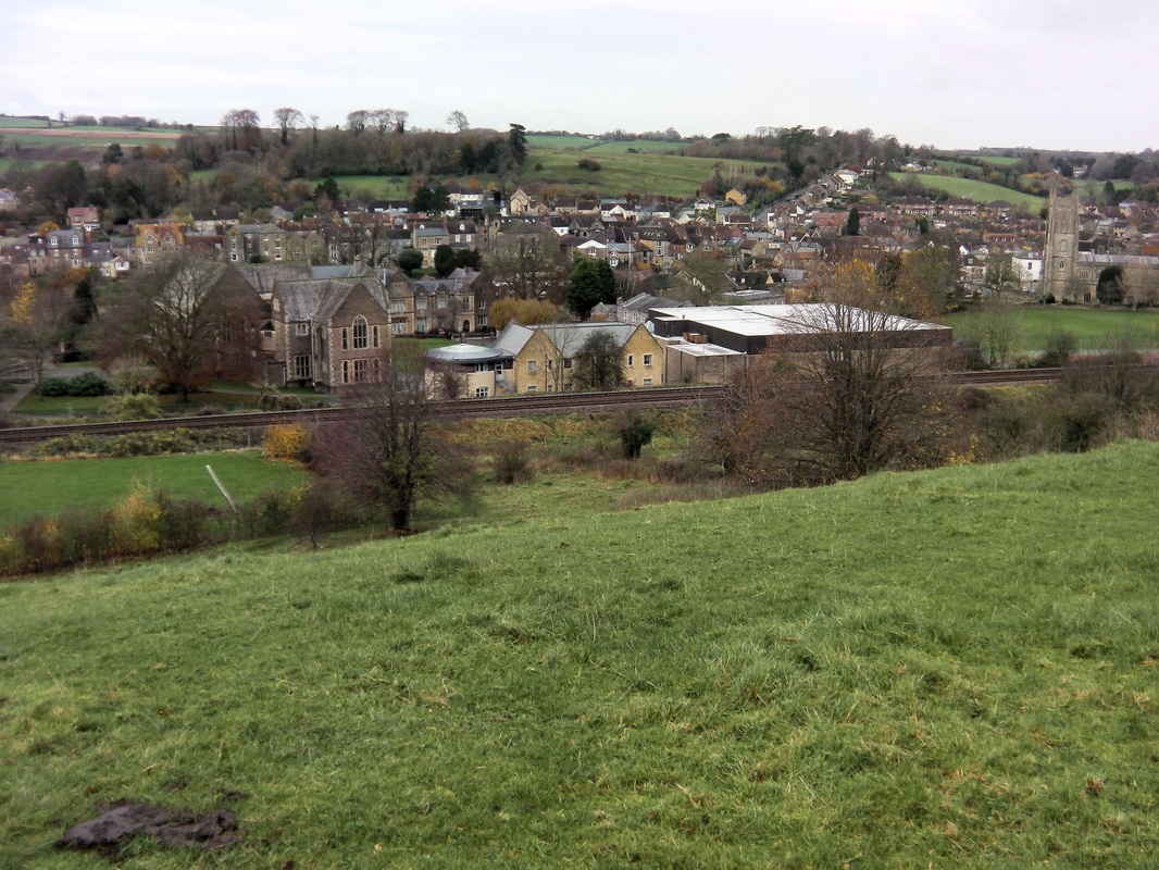
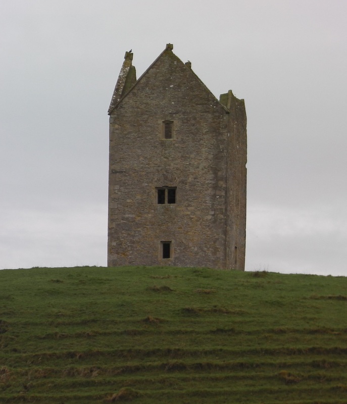
Passing through Bruton, heading east, there are two points of interest both in quick succession before the station. On the right, the Dovecote and on the left Bruton Church.
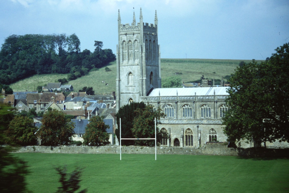
A familiar view through the carriage window just before the train passes through Bruton Station in Somerset, is the church of 'Saint Mary the Virgin' which sits on an historic site at centre of the small saxon town of Bruton in Somerset. The present church was started in the twelfth century on the site of one of the earliest churches in England, founded by King Ina in the 7th century. The Church boasts two towers, Copyright Roger Winnen 28th August 1996.
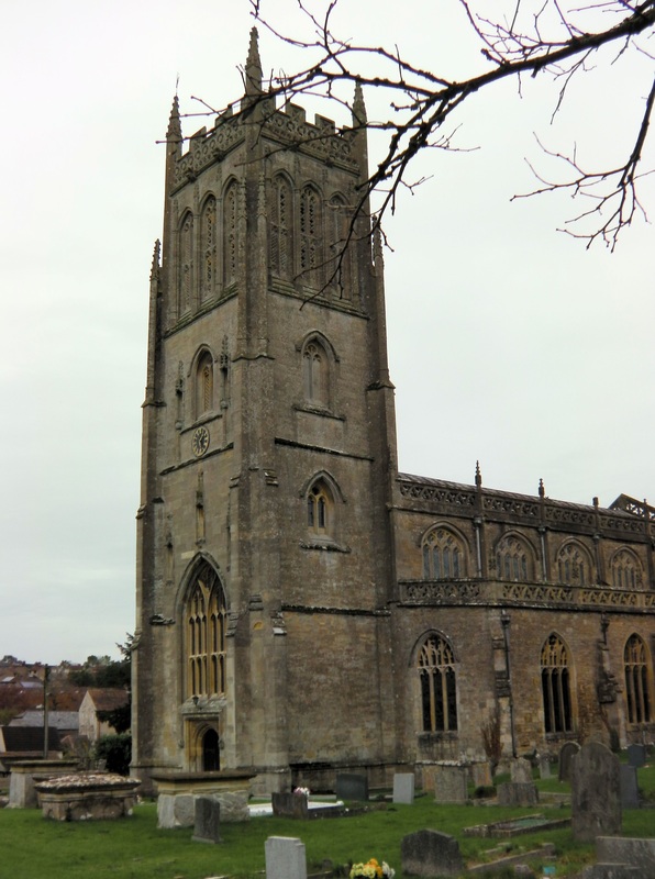
One of the two towers of the Church of St Mary the Virgin at Bruton. The north tower dates back to the 14th century whereas this one at the west end dates from Queen Elizabeth's accession to the throne. This tower is 102' high and houses the oldest bell in Somerset. This picture 23rd November 2014. Copyright Keith Jenkin
From Wikipedia, the free encyclopedia
Bruton Dovecote
Built 16th century, Owner National Trust
Official name: Dovecote about 370 metres South of Bruton Church (also known as Pigeon Tower)
The Bruton Dovecote was built in the 16th century in Bruton in the English county of Somerset. It was at one time used as a house, possibly as a watchtower and as a dovecote. Picture 23rd November 2014 Copyright Keith Jenkin
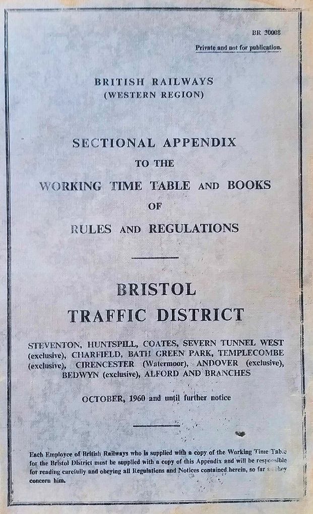
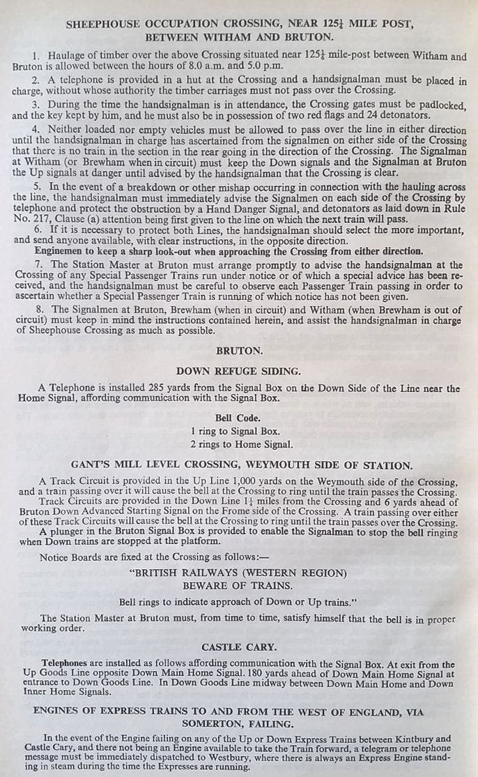
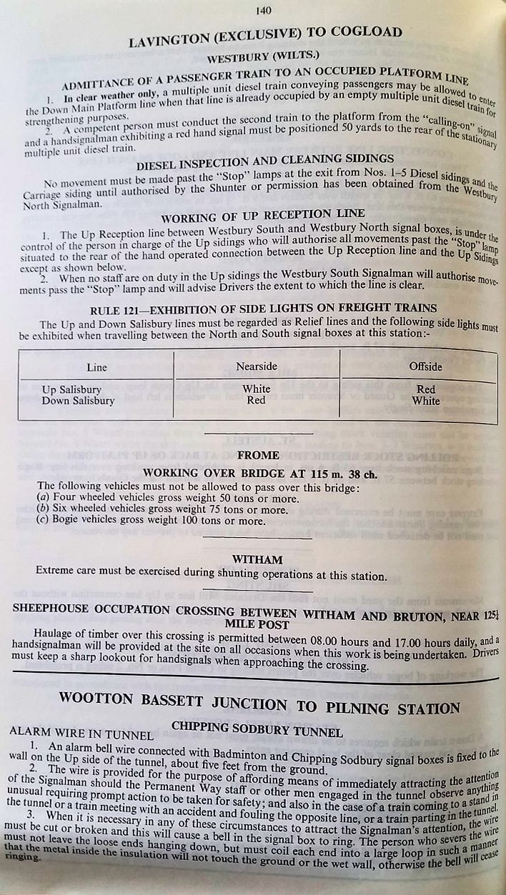
Sheephouse Crossing
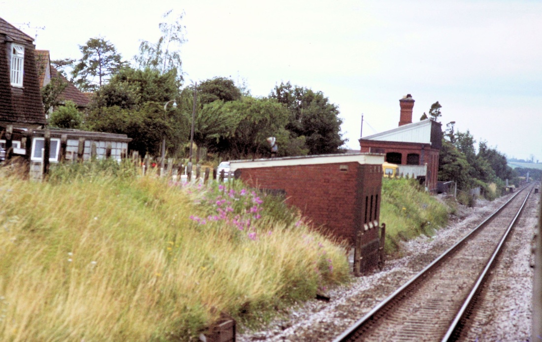
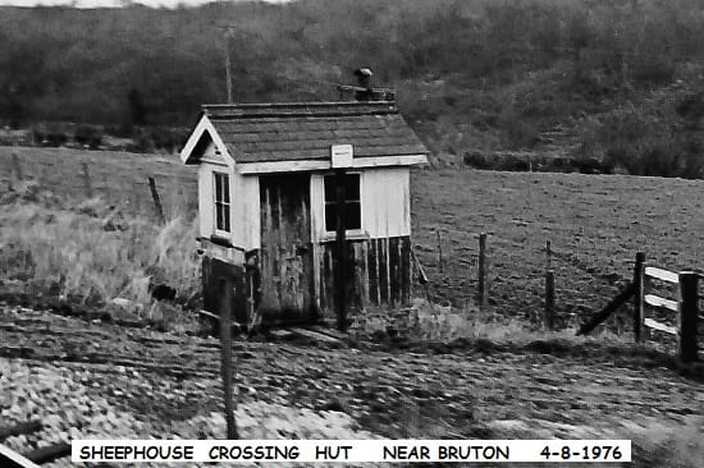
About a mile east of Bruton station is sheephouse farm, with an occupation crossing over the main west of England line . For many years a crossing hut was situated there. It must have had some importance, as it had a cast iron nameplate 'sheephouse crossing' fitted on the end just below the window,although when I took this pic it had been removed and later the hut was removed.**
Does anybody know its history,and its main use?, I'd be interested to know.
cheers JOHN C. A reply from Roy Hart - Sheephouse, east of Bruton, was an occupation crossing for the (no doubt heavy and slow moving) timber traffic from Cogley Wood. The hut had no levers, just a block indicator (repeating the bells and block instruments of the boxes either side) and a telephone. There was also a stove! The installation would appear to date from the end period of the first world war (say early 1918) when there was an acute timber shortage. As far as I know it was closed in about 1973. The provision of a stove suggests manning for prolonged periods. Many thanks for that Roy.
A note from Chris Osment re nameplate
Sheephouse Crossing was ‘renowned’ for being one of those places where the nameplate was longer than the front of the hut on which it was placed, so it must have been on some form of board or frame to enable it to be secured by the holes at each corner. The nameplate was ordered from Reading Signal Works in 1918 or 1919, which seems to confirm the suggestions about the date of the original installation, and it was the last plate of that particular type to be ordered. [Information from MVE Dunn’s “GWR Signal Box Nameplates”.]
Chris Osment Many thanks Chris
More on Sheephouse Crossing Guy Vincent
Sheephouse Farm - a very interesting tale by Guy Vincent
I found Colin Burges' article on his Castle Cary-Westbury bike ride very interesting and learned a few things in the process, (See Features Mid May to Dec). for example the purpose of the large underground 'bunker' close to the former Sheephouse Farm near Bruton. I have often wondered what it was for, and had no idea that Bruton used to suffer bad flooding. Bath, Bradford-on-Avon, Melksham, Chippenham and Trowbridge also had the same annual problem until the River Avon was improved and widened/straightened in the late 1960s.
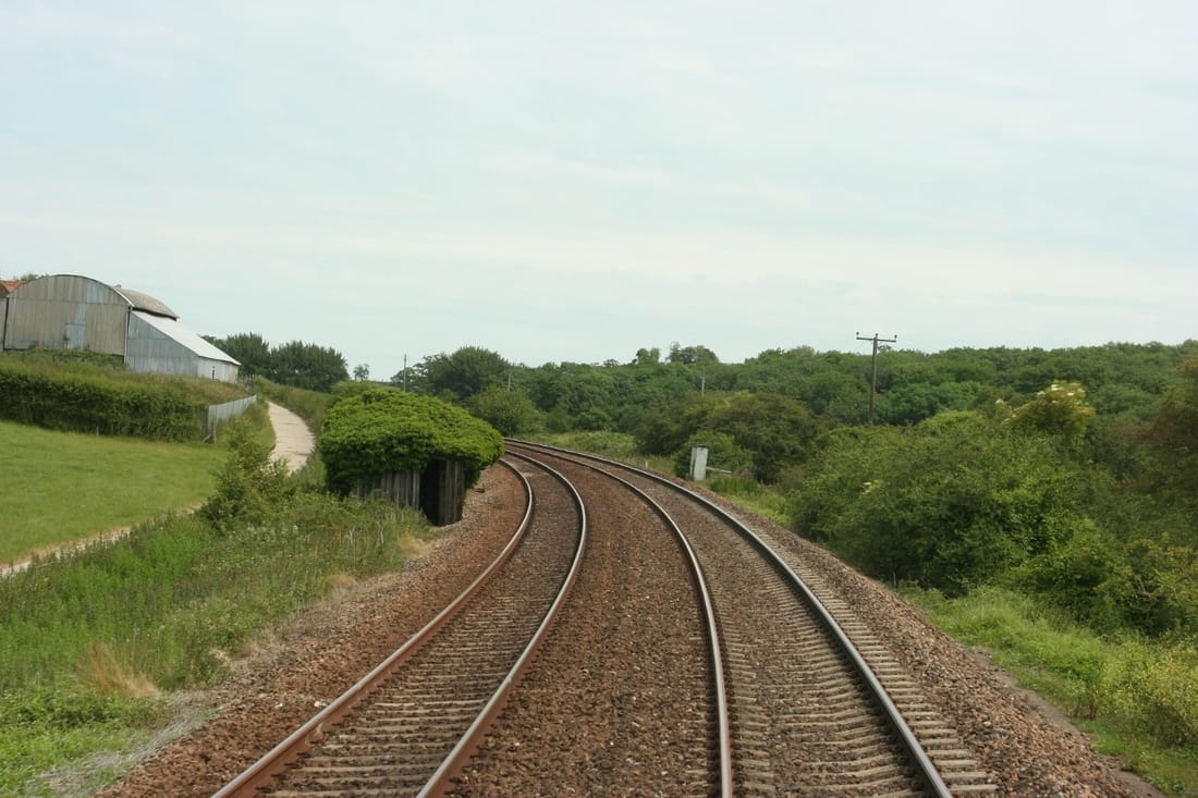
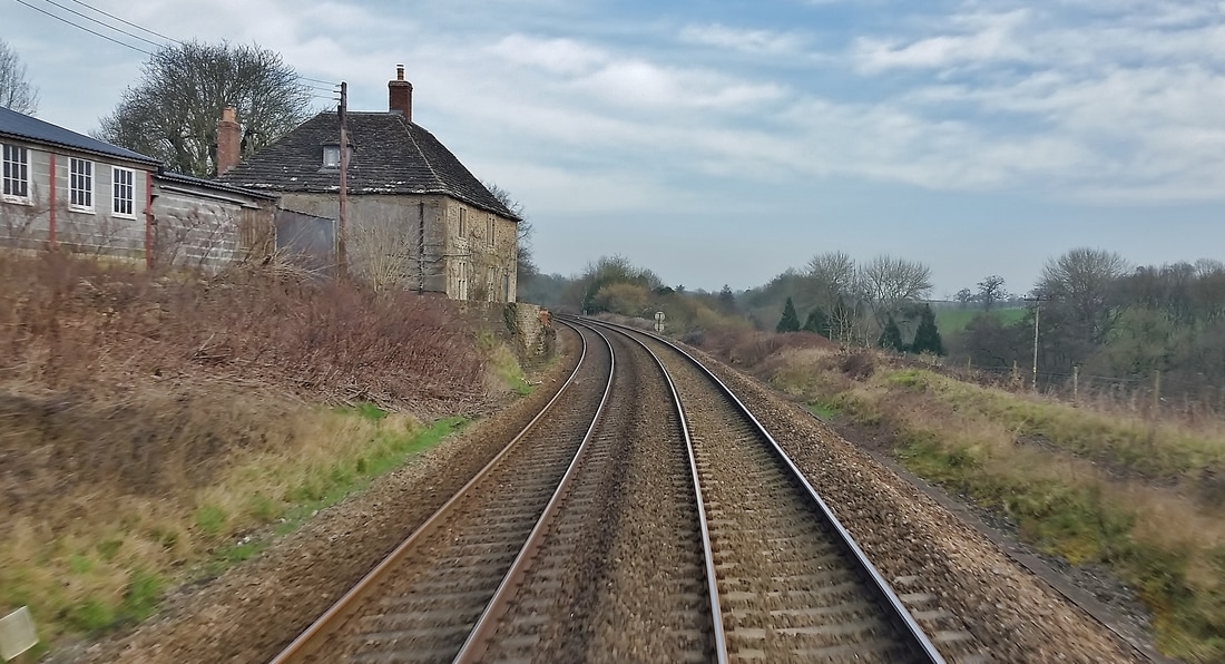
Sheephouse Farm (now known as 'Gladen') has featured here before but I return to it with a winter shot taken some time ago from the rear of a passing train. Just imagine it is 1850 or thereabouts and you live in the 18th century farmhouse, situated alone next to a quiet country byway with panoramic views southwards across the upper Brue valley. Two men on horseback appear one morning and knock on the door. They say that the Great Western Railway Company is to build a new line from Frome to Yeovil and Weymouth and they have been employed by the company's engineer, Isambard Kingdom Brunel, to survey the best route that this is to take. After taking measurements etc. they depart and life returns to normal. By 1855 though things have changed forever. The surveyors discovered that the only way to take the line from Brewham down towards Bruton was by a twisting, winding, steeply descending route along the northern side of the steep valley. Navvies cut the pathway for the broad gauge track right behind the farmhouse, taking away its garden and having to shore up the foundations with a sturdy stone retaining wall that remains to this day. From day one of railway operations locomotives puffed clouds of smoke and steam just a few feet from the ground floor windows and back door as they fought against the steep ruling gradients of between 1 in 98 and 1 in 81 towards the summit. An ideal place to live though if you are a rail enthusiast! If those 19th century occupants could return now they would no doubt be looking forward to the arrival of the new Hitachi class 801 'Flying Cucumbers' as they are almost silent at speed with fantastic acceleration to boot.
Like Colin, I feel that this could be the last summer of 'traditional' railway operations in the west of England as the new order comes in. Good news for passengers I'm sure but I'll be taking less of an interest in day to day operations and likely turning to other activities once the wires go up and the Bi-Modes take over most long distance services.
Guy Vincent Many thanks indeed Guy for your article and the photograph.
Sheephouse Crossing continued Tony Hill
There was a very nasty incident here in the early 1970's, when a Down Express hit and killed several Friesian cows which were crossing the line.
Subsequently a new concrete track was soon made (presumably mostly or entirely funded by BR) westwards for several hundred yards along the field side of the upside rly fence to a farm underbridge and Sheephouse Occupation LC was then closed. This farm, like many, now has no dairy cows.
Tony Hill Many thanks for that Tony
Strap Lane Halt
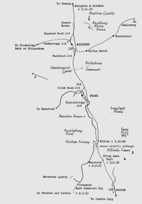
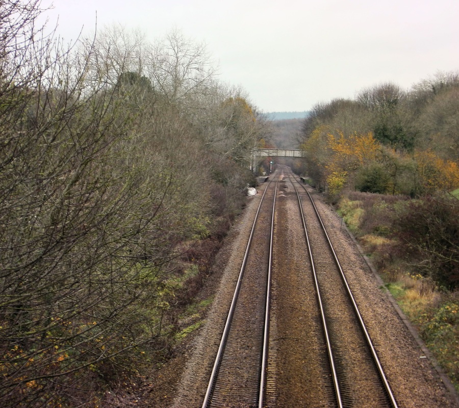
Strap Lane Halt was mid-way between Witham Friary and Bruton on the Westbury to Taunton line. The halt once served the nearby village of Upton Noble and is near the summit of Brewham Bank, with gradients of 1 in 81 from the west, and 1 in 107 from the east. The small village of Upton Noble is over three quarters of a mile away on a twisting, narrow country lane, this lane passes over the railway by means of a narrow bridge the halt comprising of simple wooden platforms with sheds as shelters lay to the west of the bridge, access was by means of paths off the approaches to the bridge. The halt was an early, pre Beeching closure, the last services called 5th June 1950.
Just west of Witham.
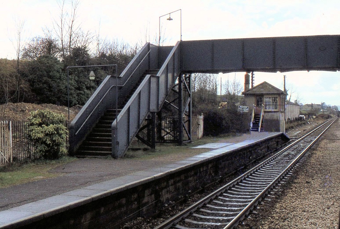
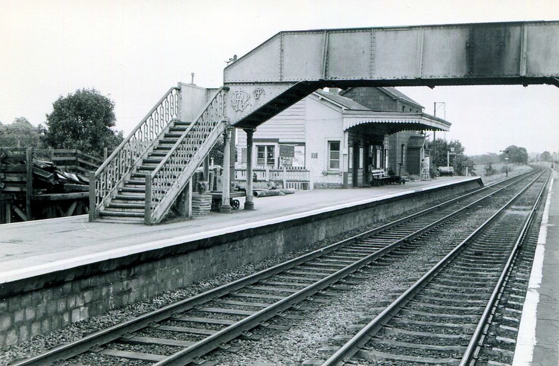
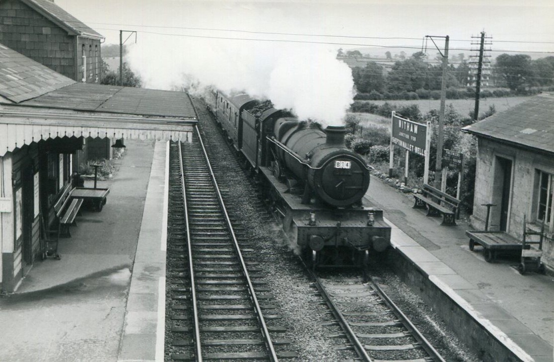
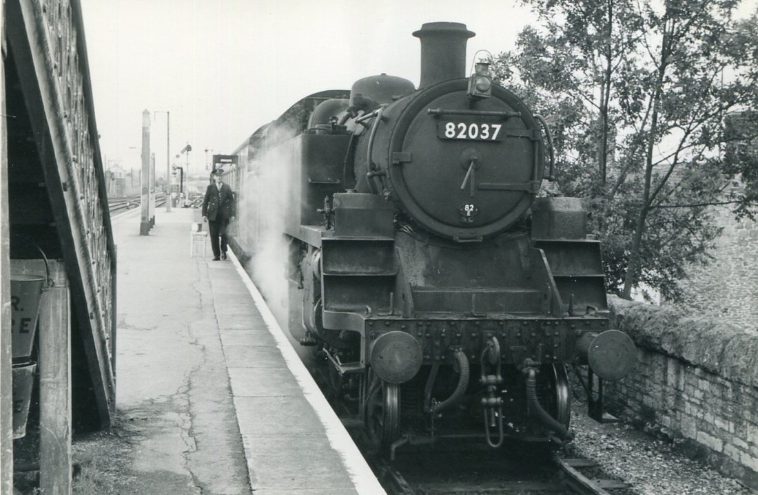
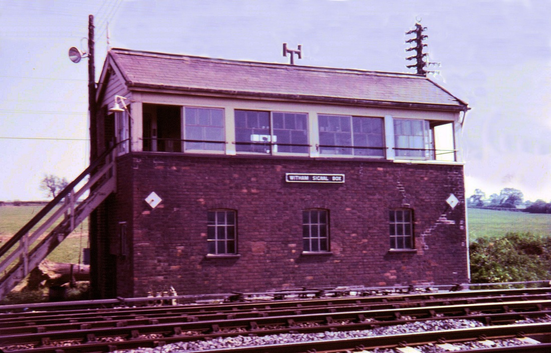
Witham Thirty six and a half miles from Taunton
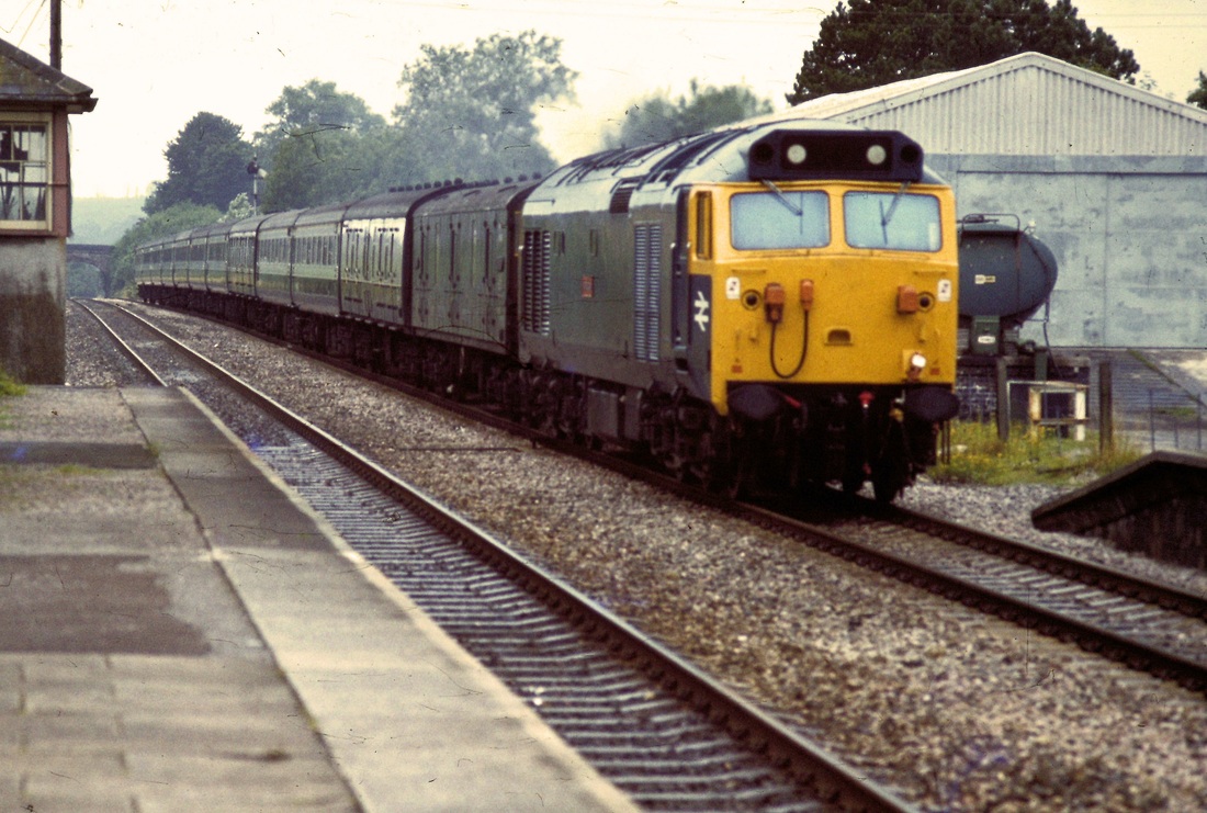
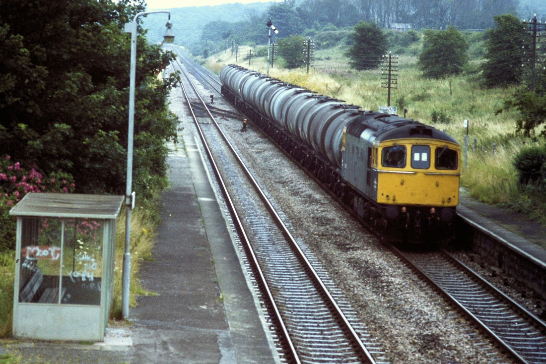
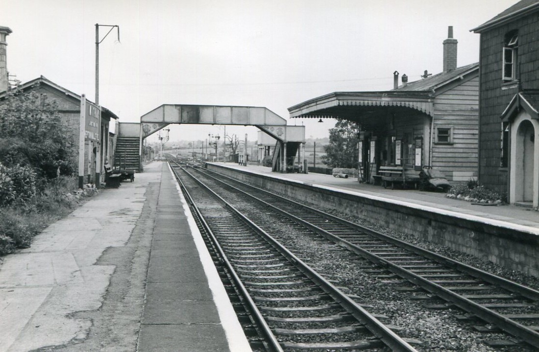
More recent views at Witham (Not that recent!!)
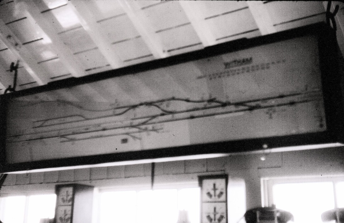
An enlargement from the view above of the track diagram for Witham junction as in 1975. Although not very clear it does serve to indicate the track layout at the time . The branch line to Cranmore, Wells and Yatton can be seen leaving the diagram to the top left. Track Circuited areas are shown by means of bold lines on the diagram. Copyright Chris Osment
For continuation from Witham to Westbury see the next section
