Sutton Harbour and North Quay branches
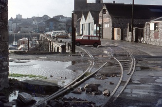
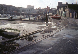
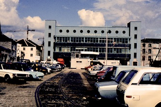
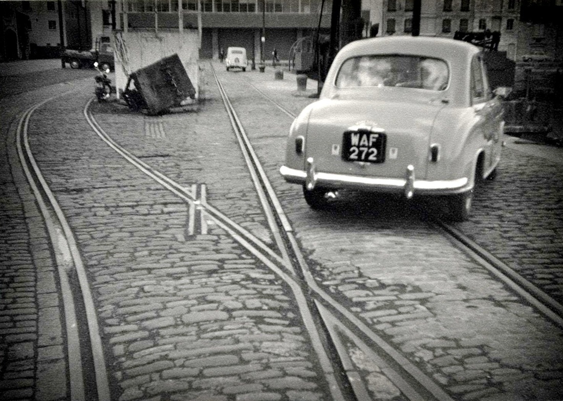
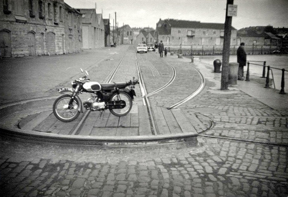
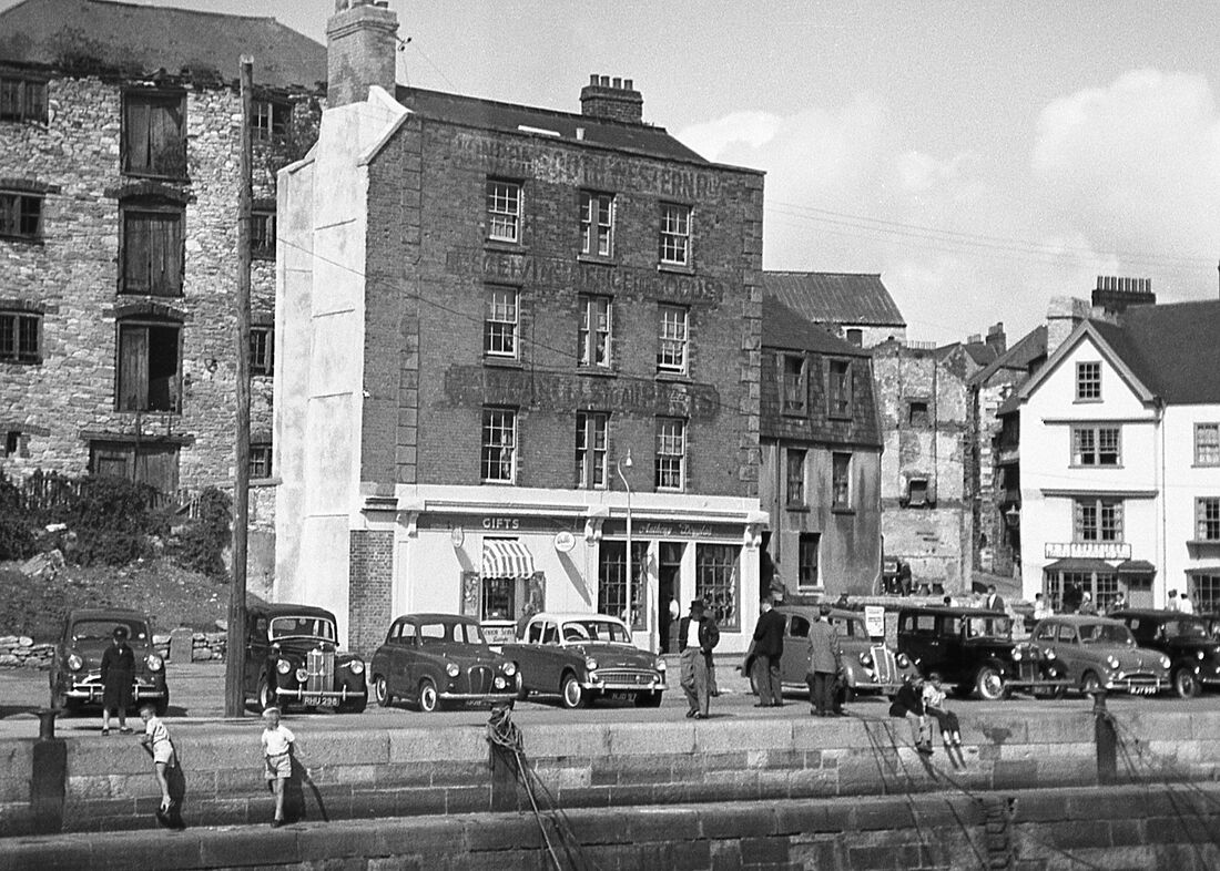
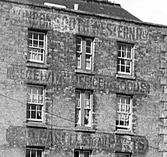
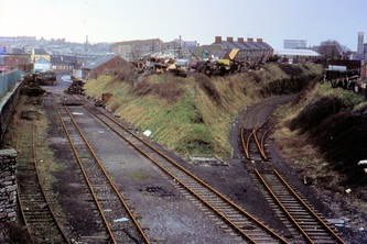
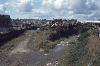
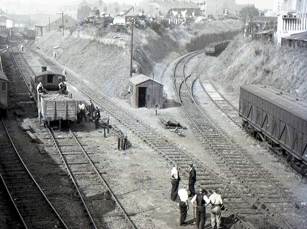
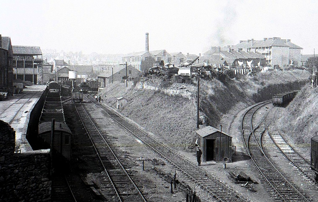
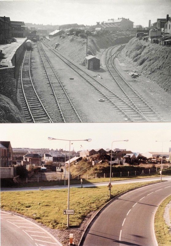
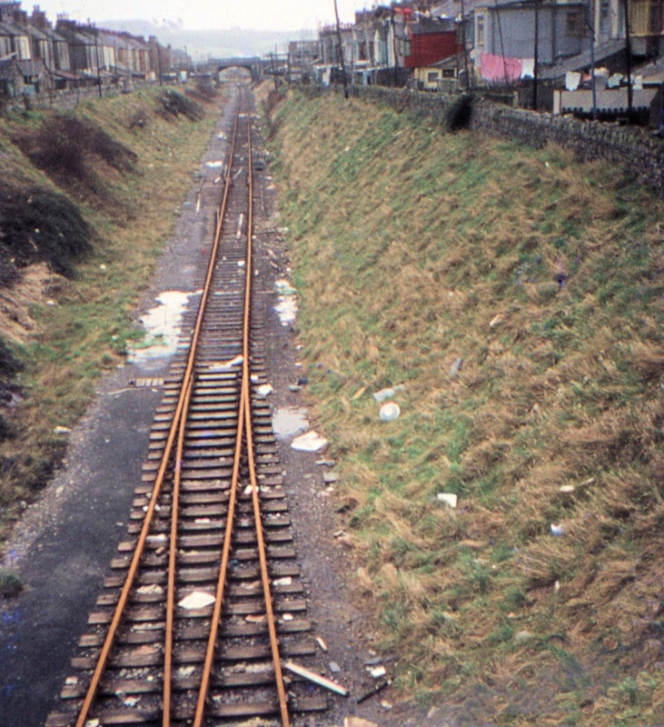
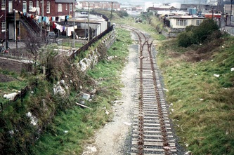
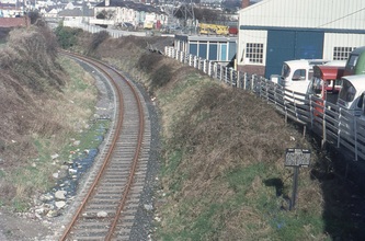
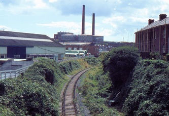
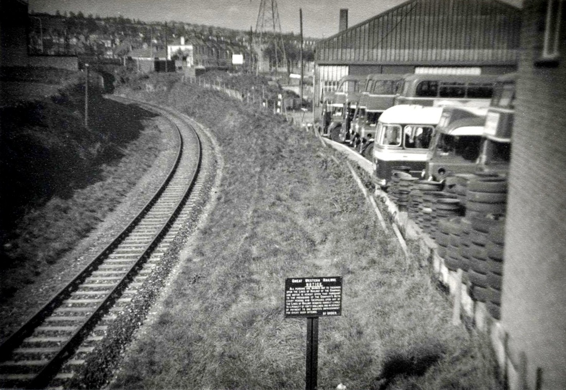
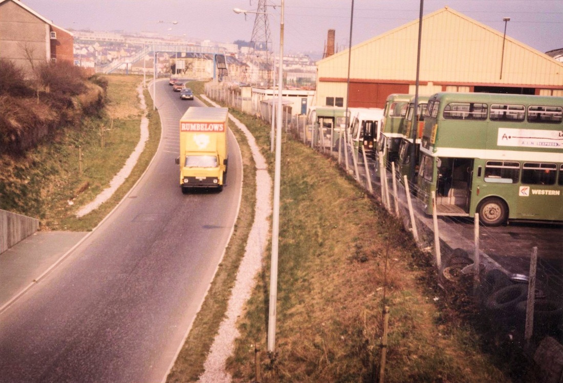
The following pictures are a collection of photographs taken, mostly, many years ago by Messrs Winnen and Jenkin but even then the line had fallen into disuse. The track layouts of the Sutton Harbour and North Quay branches changed many times during their lieftime with new sections added and some closed.
Our appreciation to Peter Bragg who has put this collection in some order - it is hoped to add his comments and tales as the collection expands. The pictures have been put in some order starting from the extremity of the branches. If you have any more information or pictures these would be much appreciated and credited.
Our appreciation to Peter Bragg who has put this collection in some order - it is hoped to add his comments and tales as the collection expands. The pictures have been put in some order starting from the extremity of the branches. If you have any more information or pictures these would be much appreciated and credited.
The North Quay branch
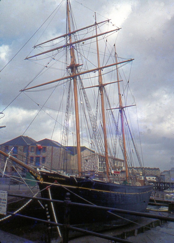
01 Plymouth Kathleen & May at North Quay February 1974 Copyright K. Jenkin (This picture is taken at the extreme end of the branch. There was a turntable at the previous corner giving access to both this and to a line, not shown on the map, which continued out onto a timber wharf at which cement was the traffic. This wharf is in the background in this picture).
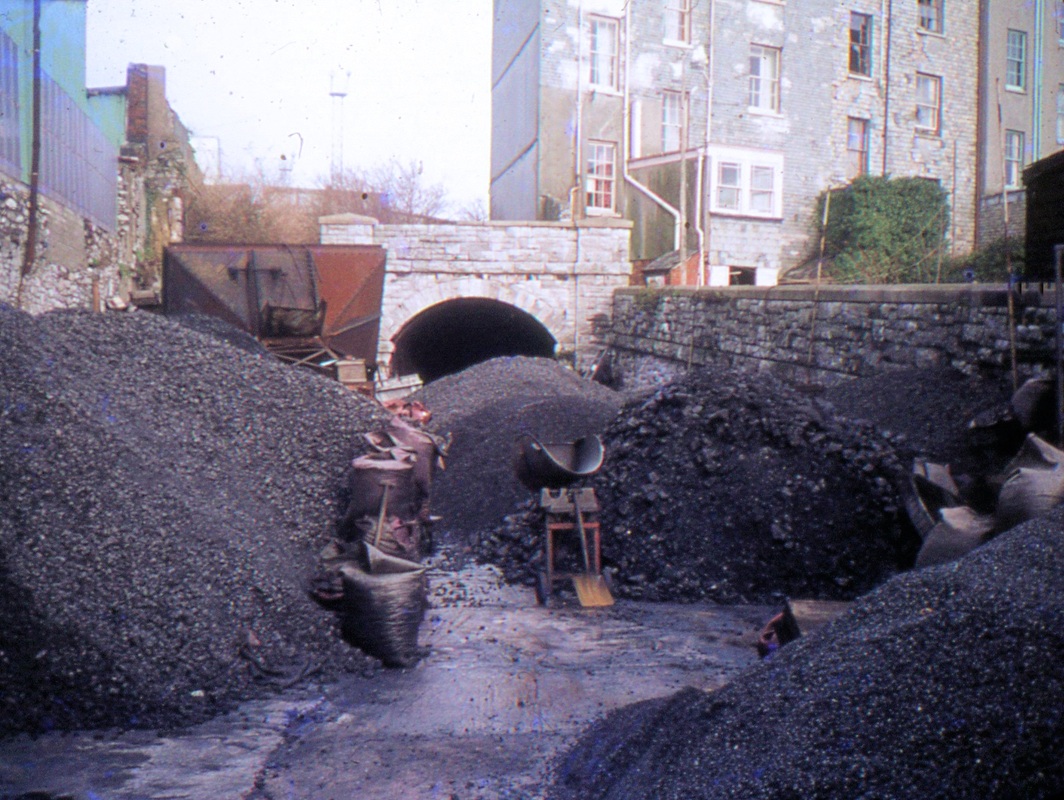
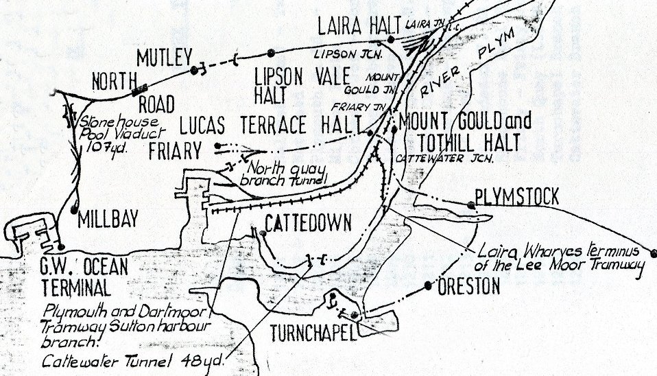
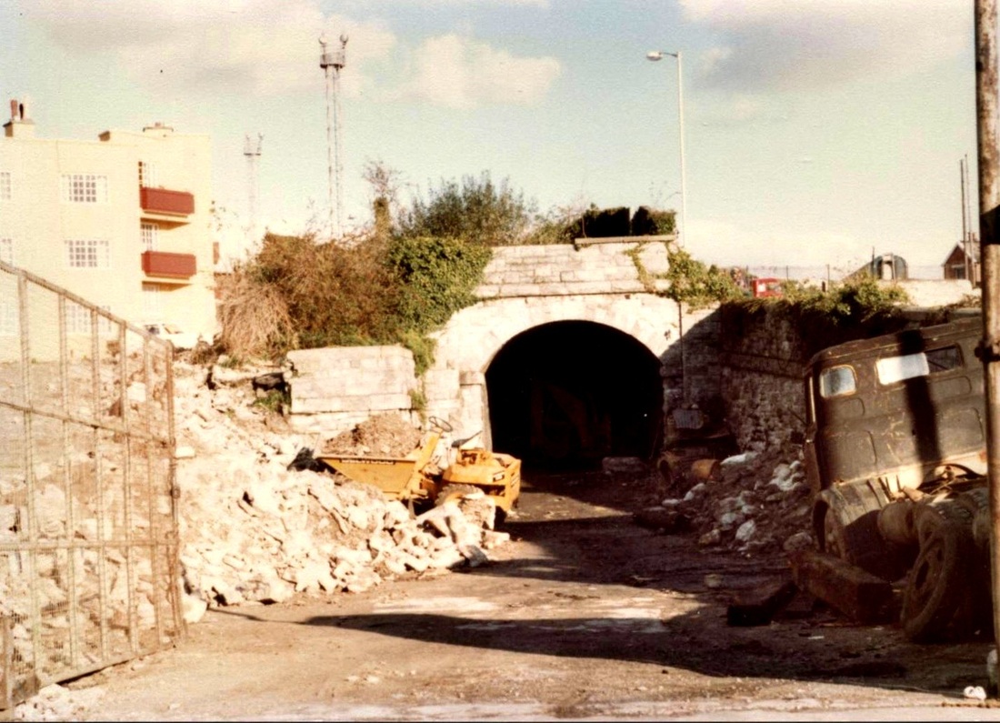
4 As can be seen from the map the North Quay branch was served by both the G.W. and Southern Railways. The Southern connection came down from Friary through this tunnel. During the war this tunnel was used as an air raid shelter and those taking refuge were none too happy when they were joined by an ammunition train put down there 'out of harms way'! Quite strange that 2 stations in Plymouth, Plymouth Friary and Devonport Kings Road (and both LSWR) had freight-only branches disappearing down a steep gradient and into a tunnel, right in the middle of the goods yard. This picture Feb 1974 Copyright K Jenkin
The Sutton Harbour branch
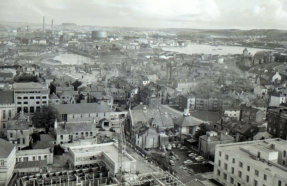
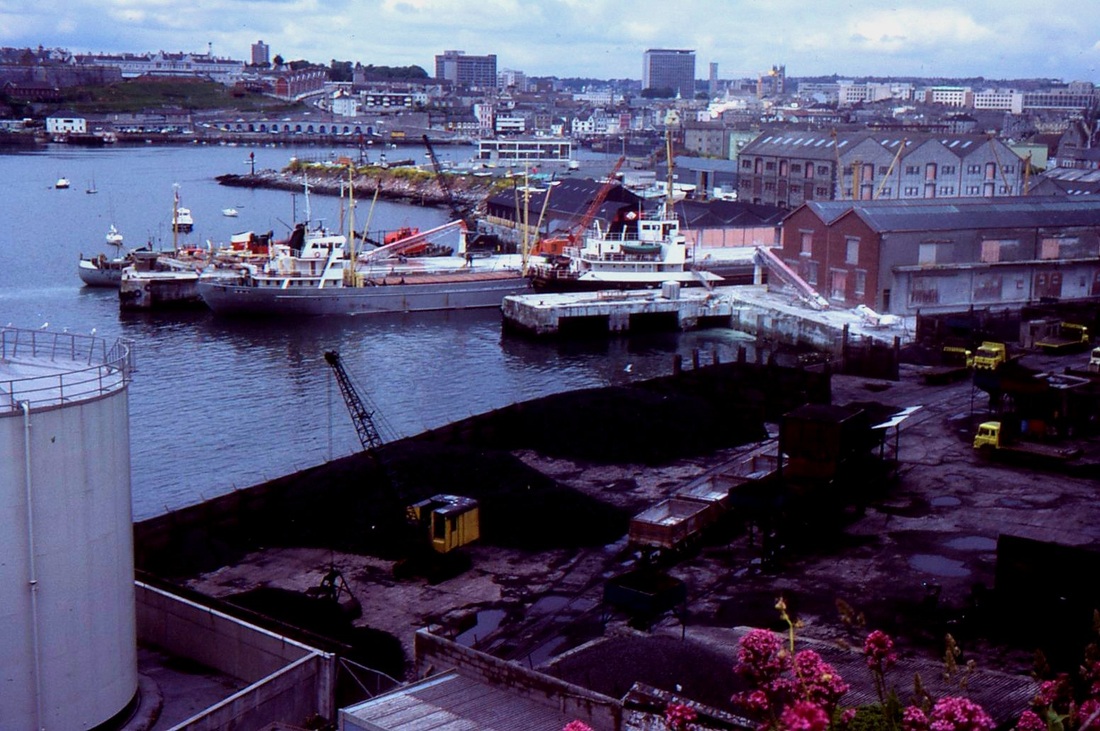
A view of the Sutton Harbour area taken from the Civic Centre on 12th December 1961 Copyright Mike Roach. Note the coal wagons seen on the wharfside at the centre of this view. It is understood that these wagons only traversed the metals to and from the gas works, just a quarter of a mile away. The retort house and gas-holder can be seen. Coal gas was produced, and the works was obsolete, and closed, when the country switched to natural gas. (The wharf track is not shown on the map but lay at a right angle to the line of the Sutton Harbour branch)
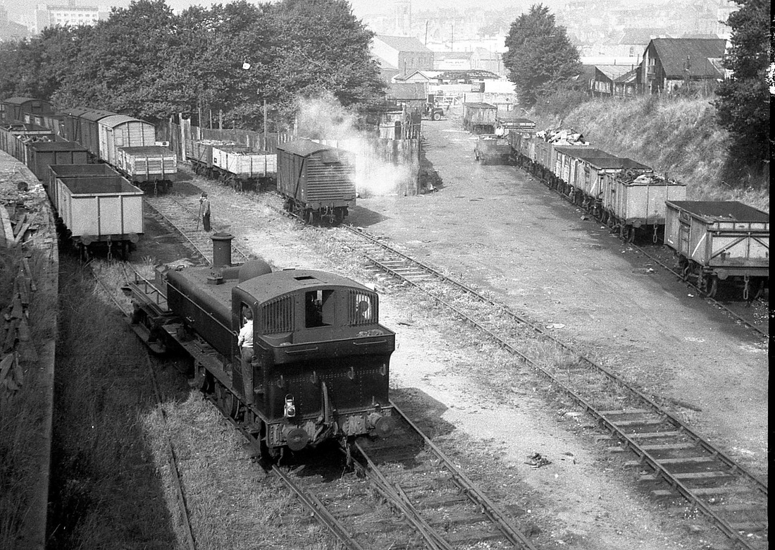
The North Quay Branch, Plymouth. 1650 shunts Pearce's Scrap Yard. The branch is actually out of sight on the right behind the mineral trucks. 1650 was a Laira engine from new in January 1955, for most of its short life. It was the only one of its class at Laira. The date is Monday 7th September 1959 Copyright Mike Roach
