Liskeard and Caradon Railway
Acknowledgements
Peter Murnaghan for providing photographs with detailed information on the Liskeard and Caradon System
together with proof reading.
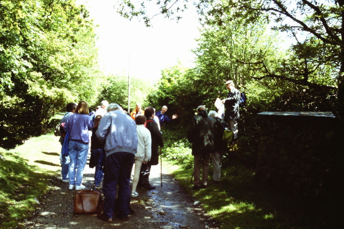
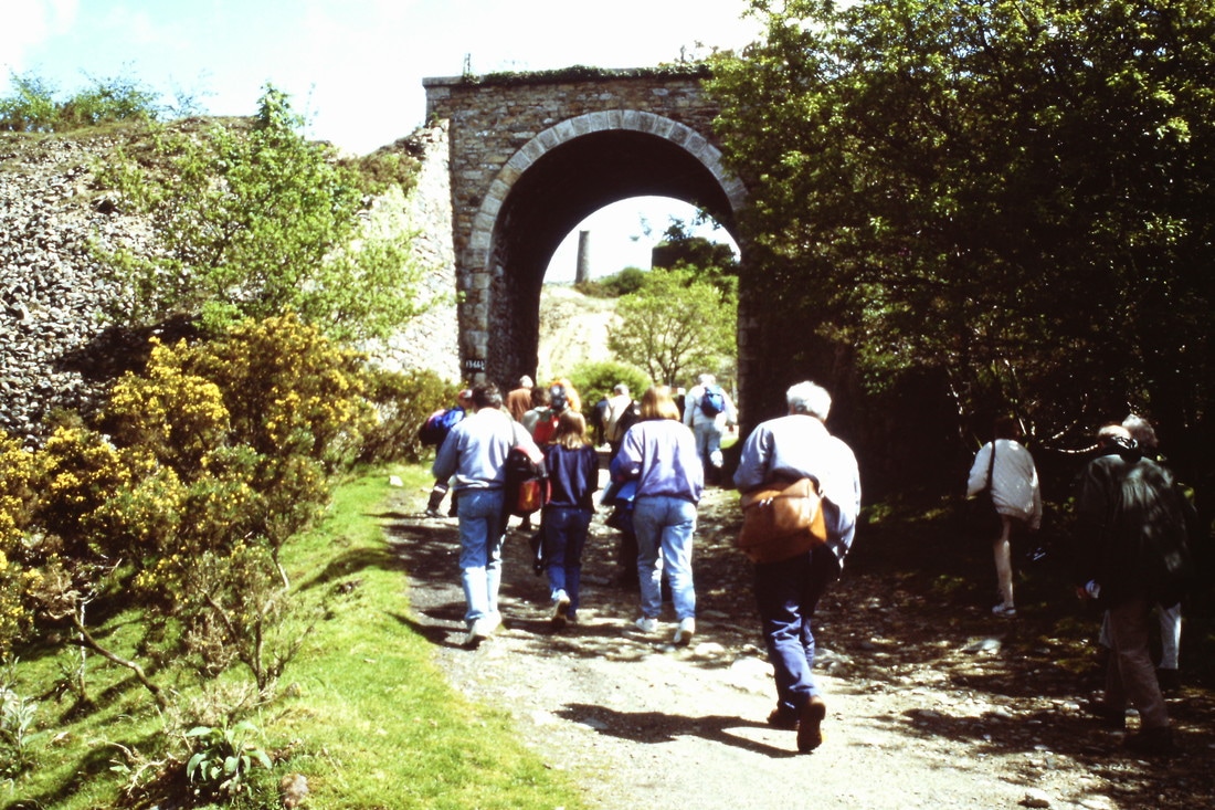
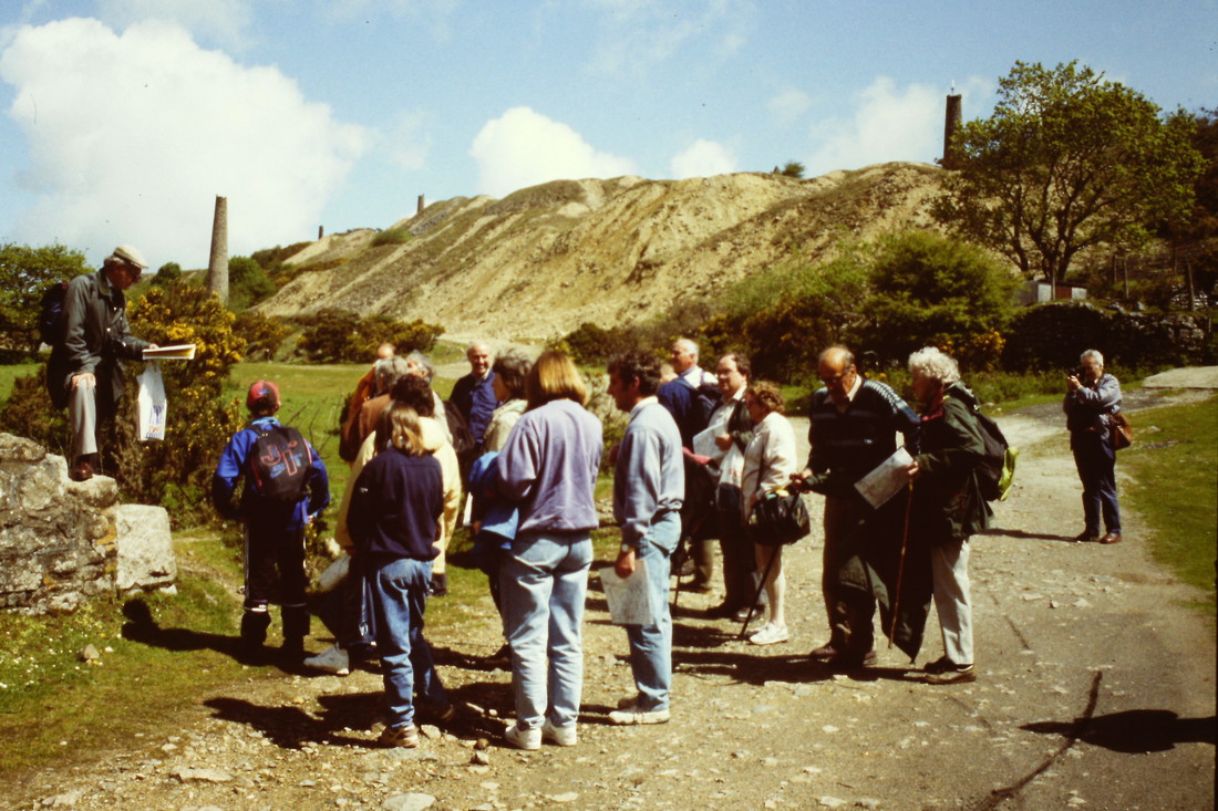
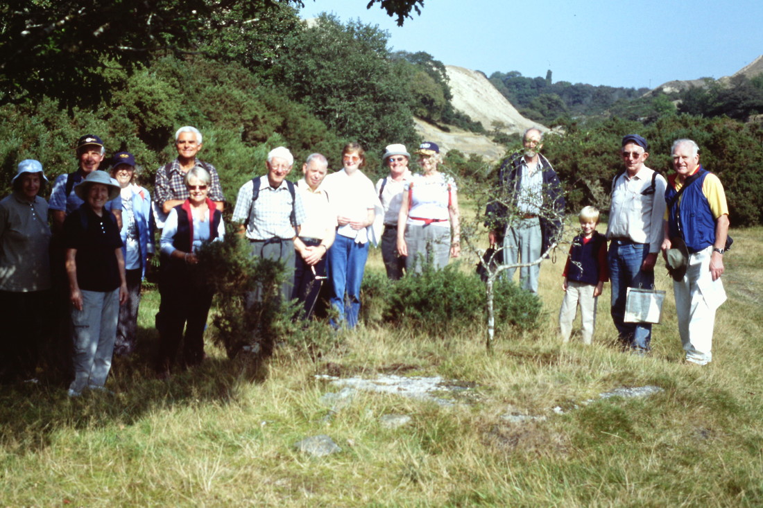
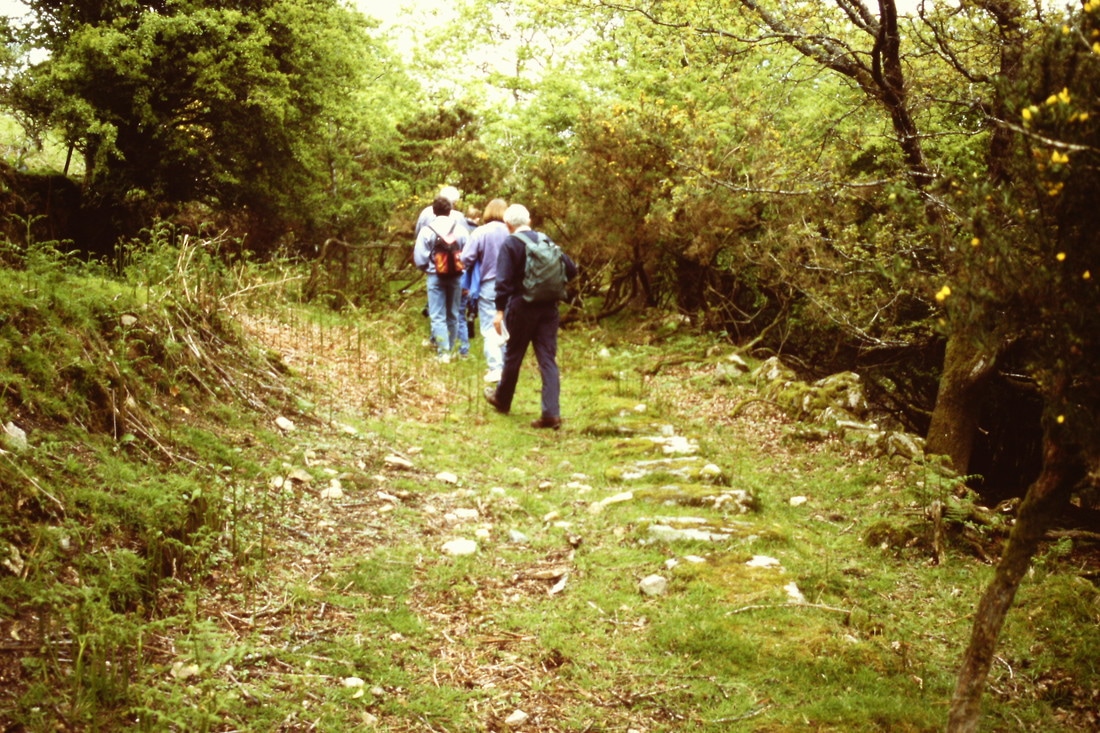
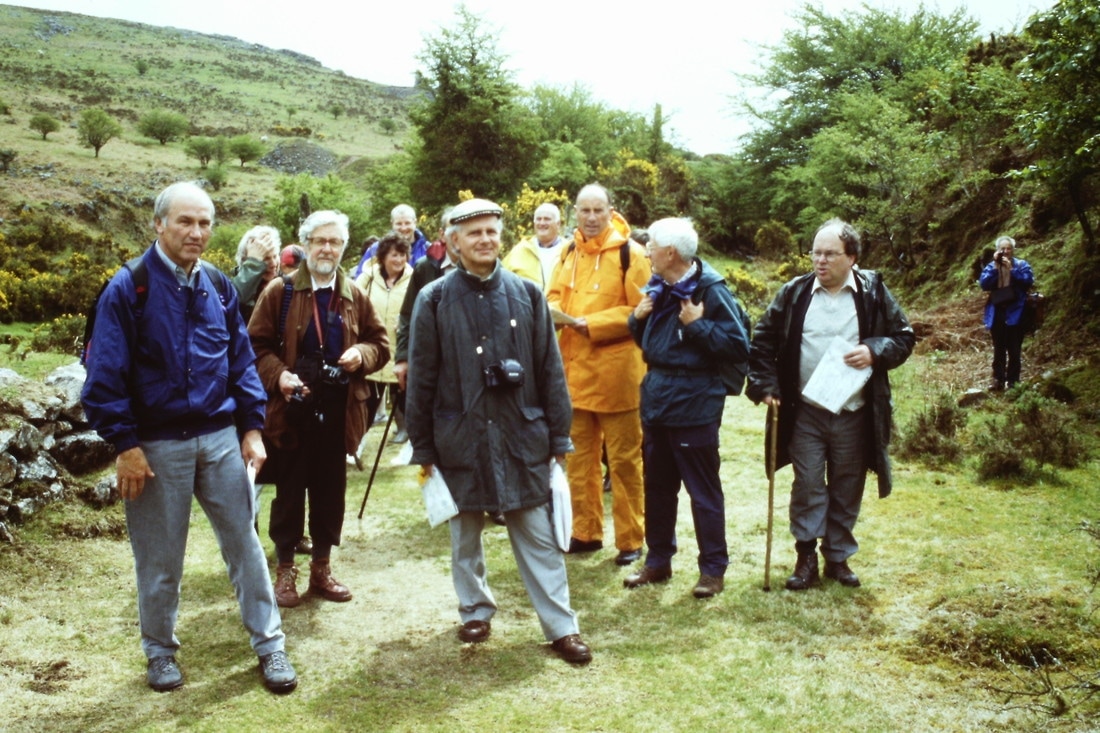
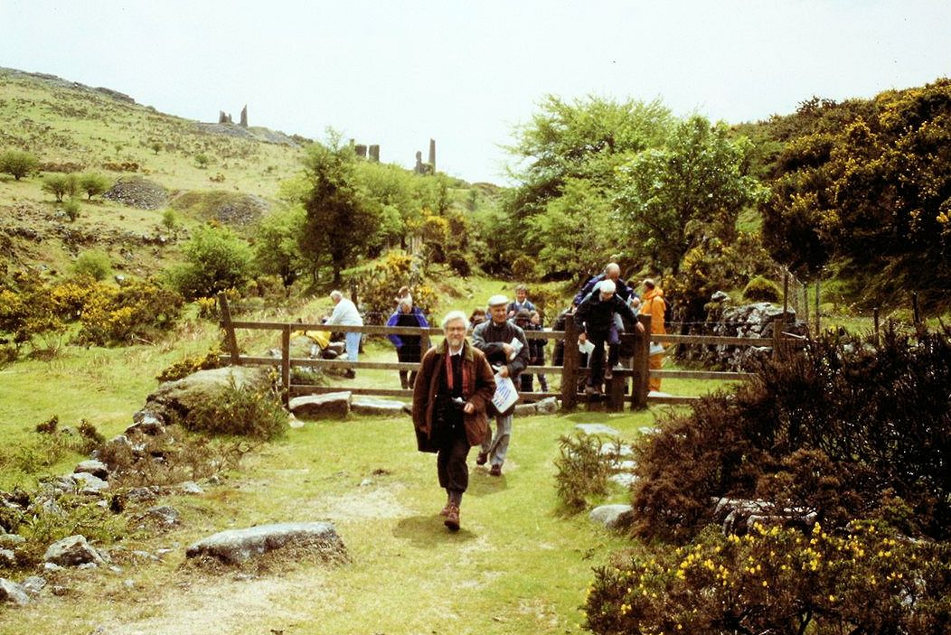
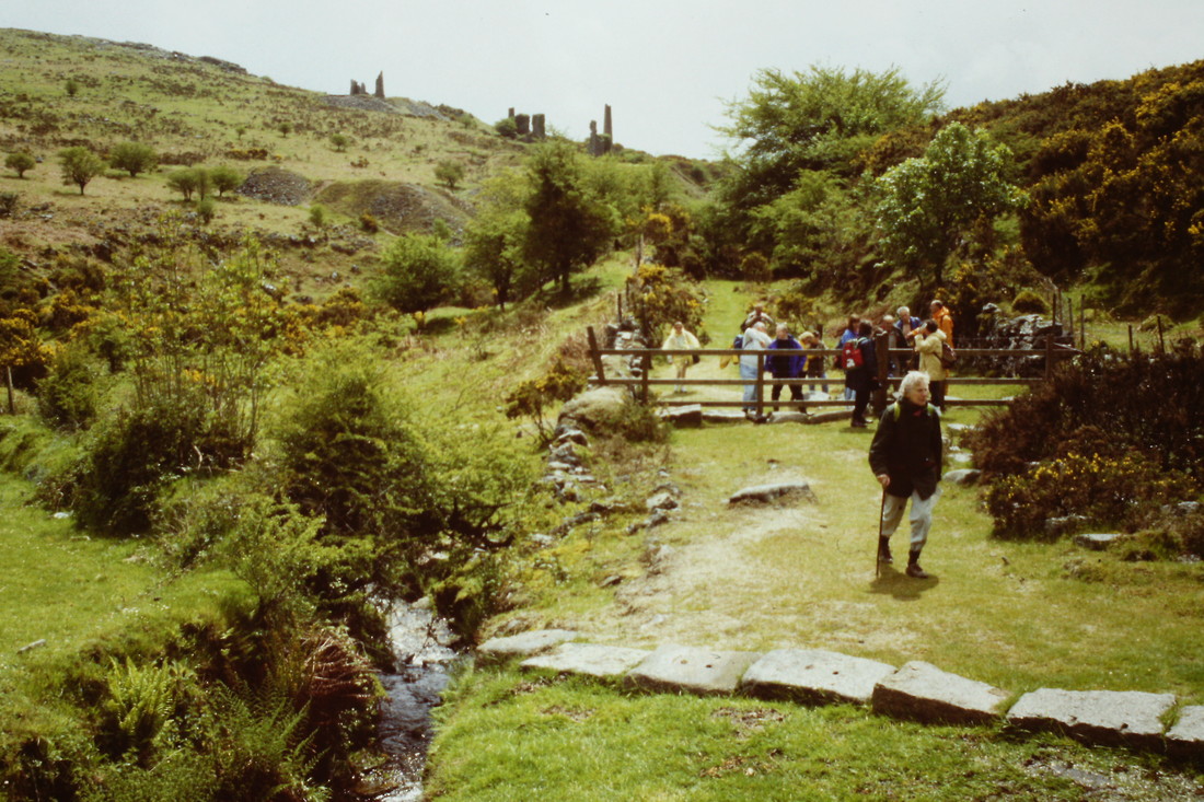
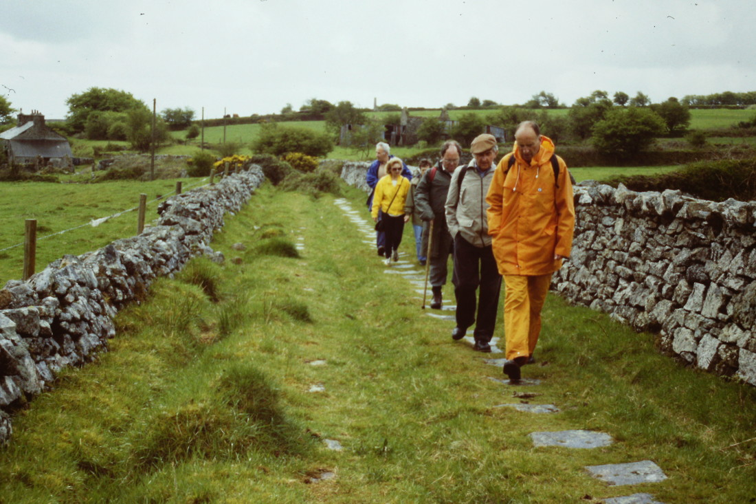
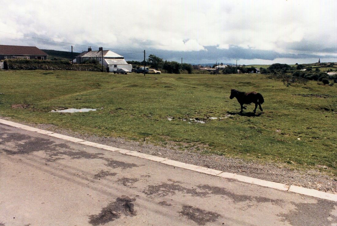
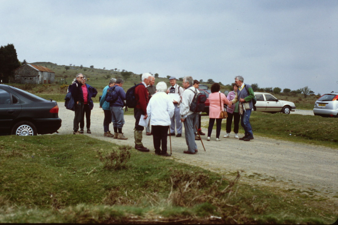
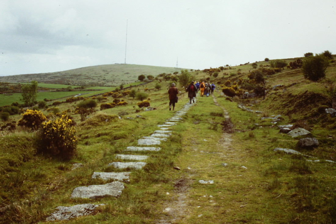
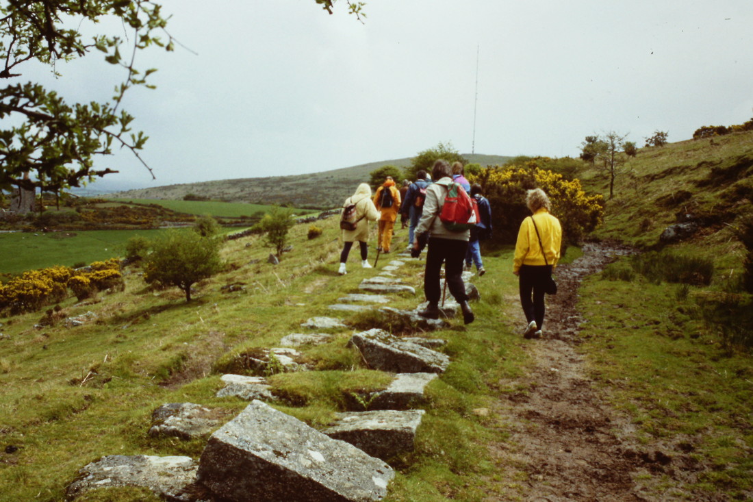
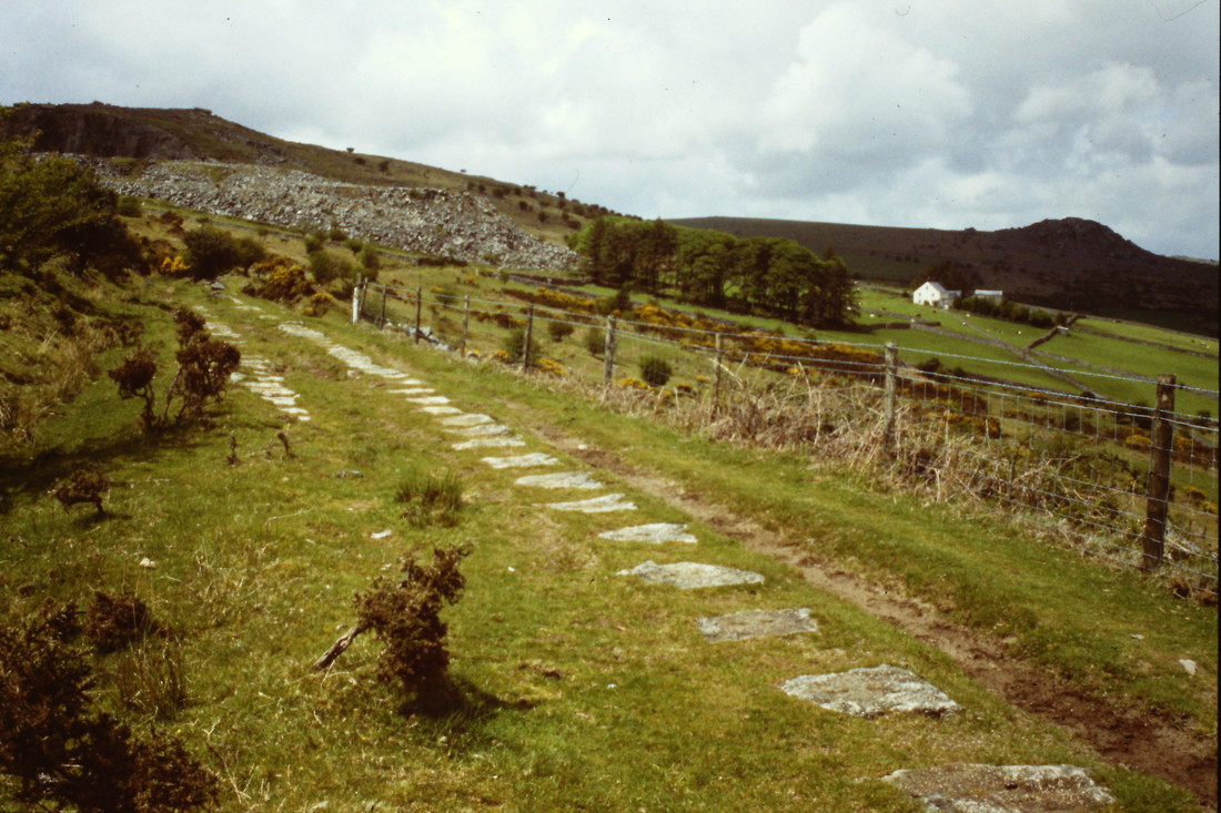
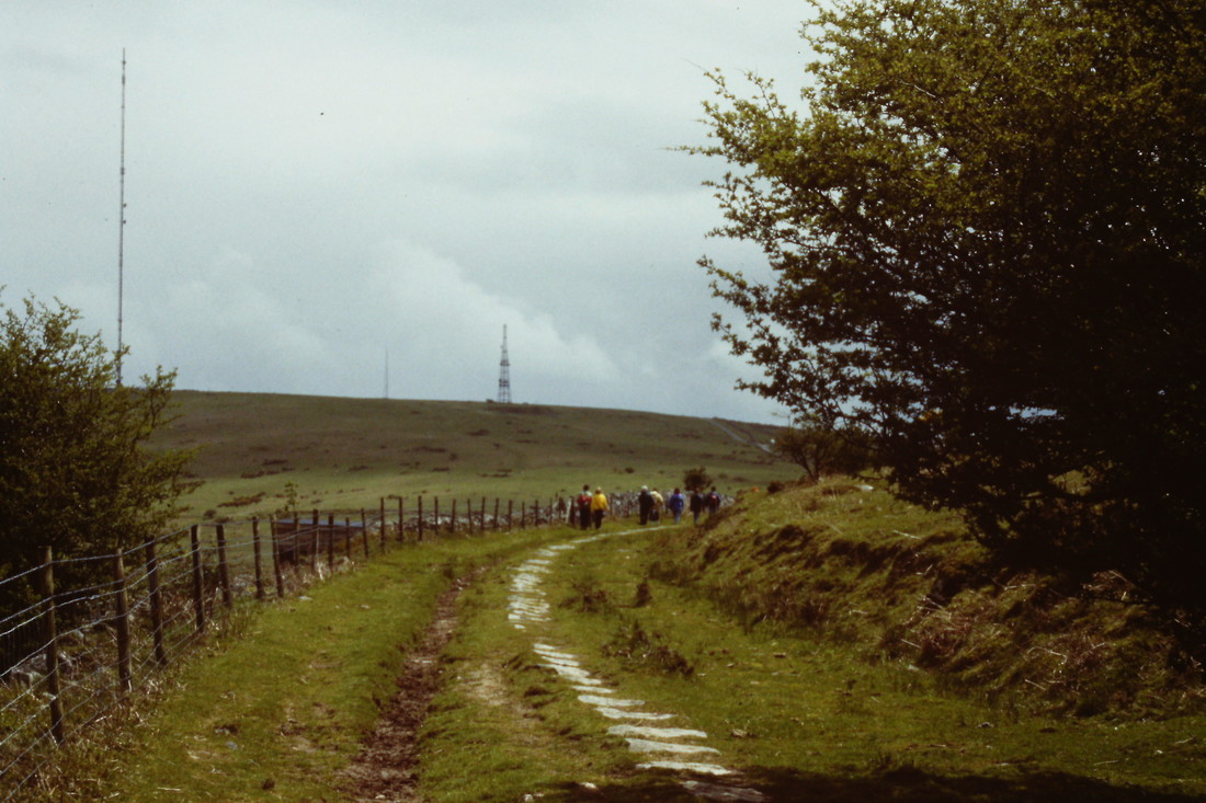
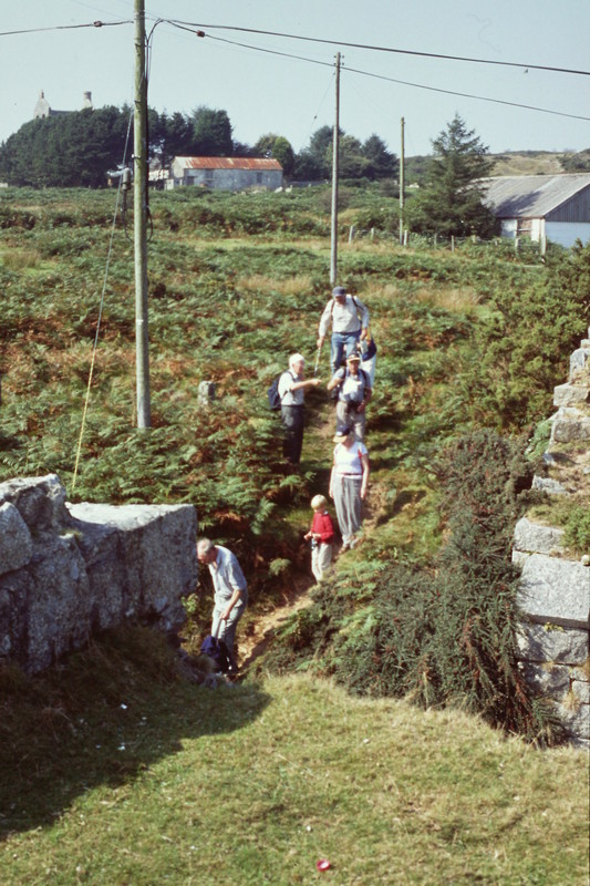
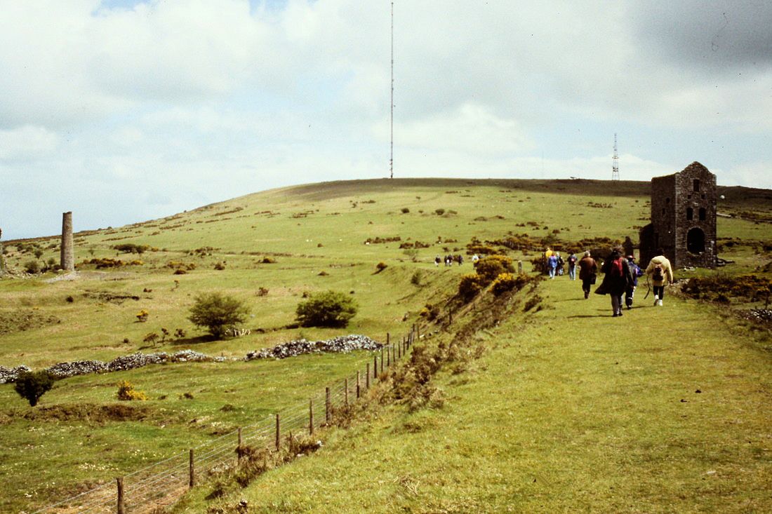
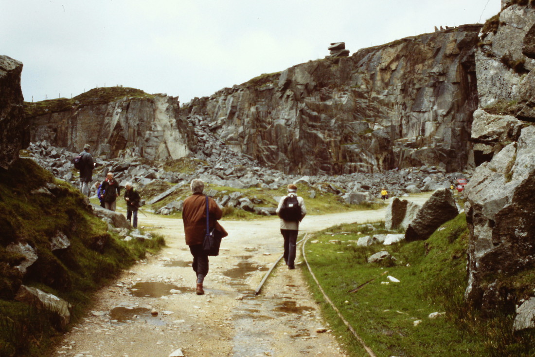
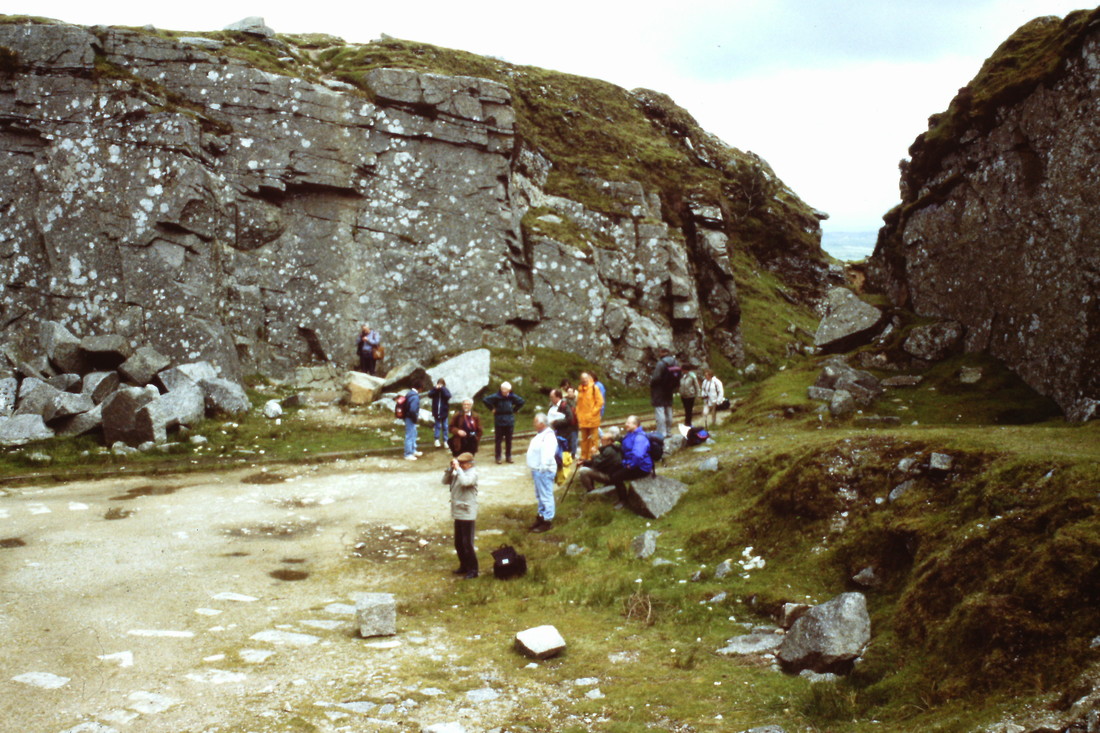
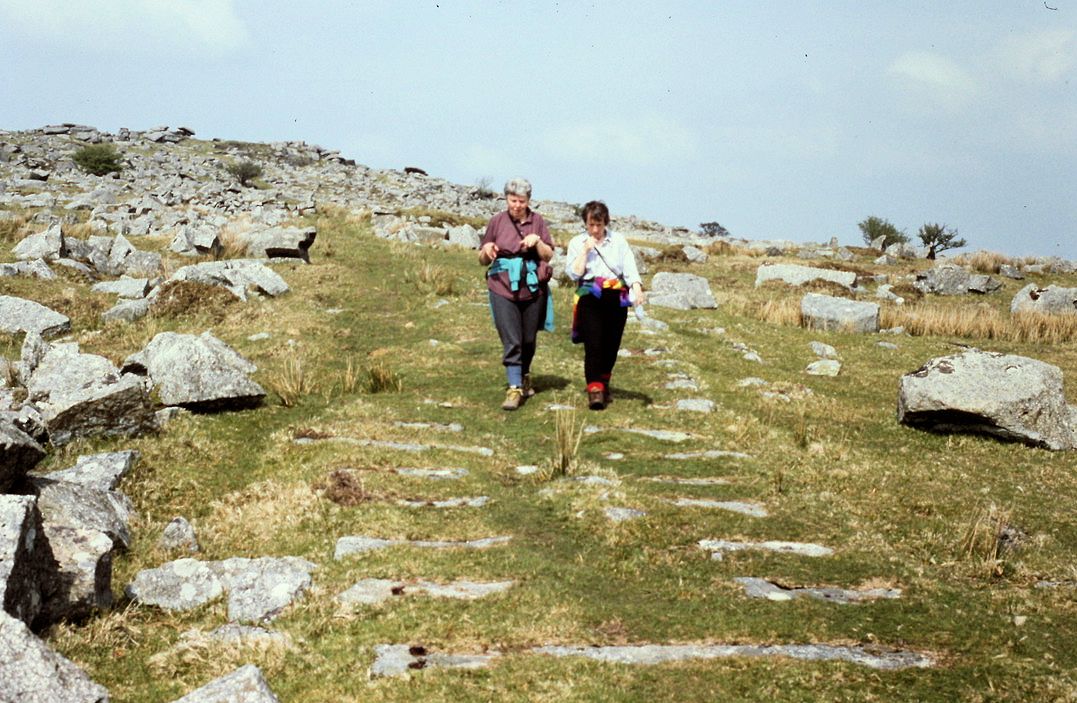
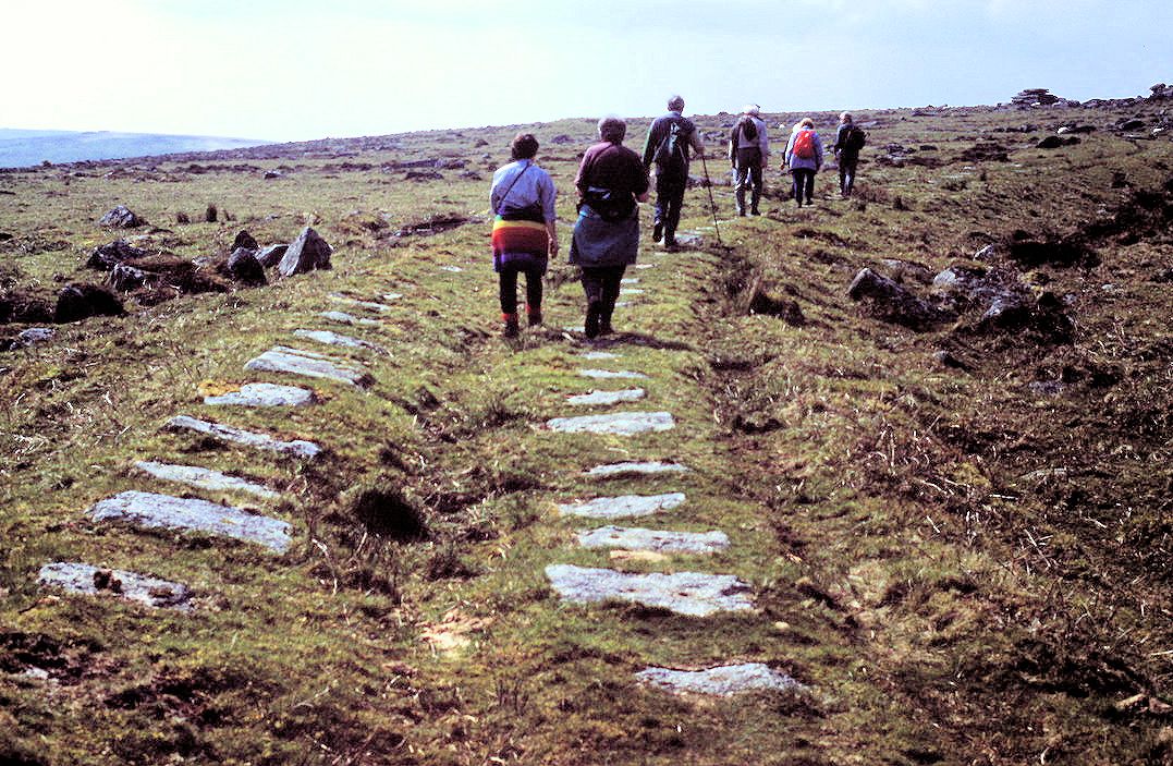
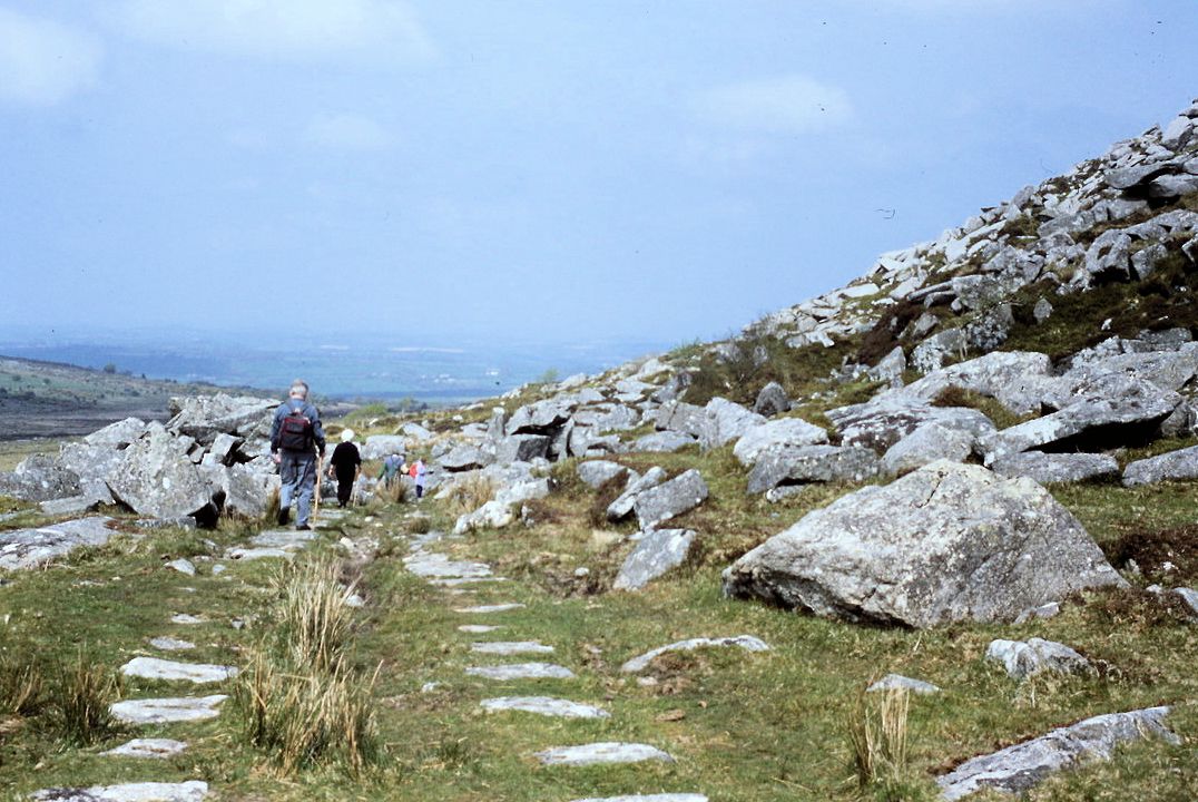
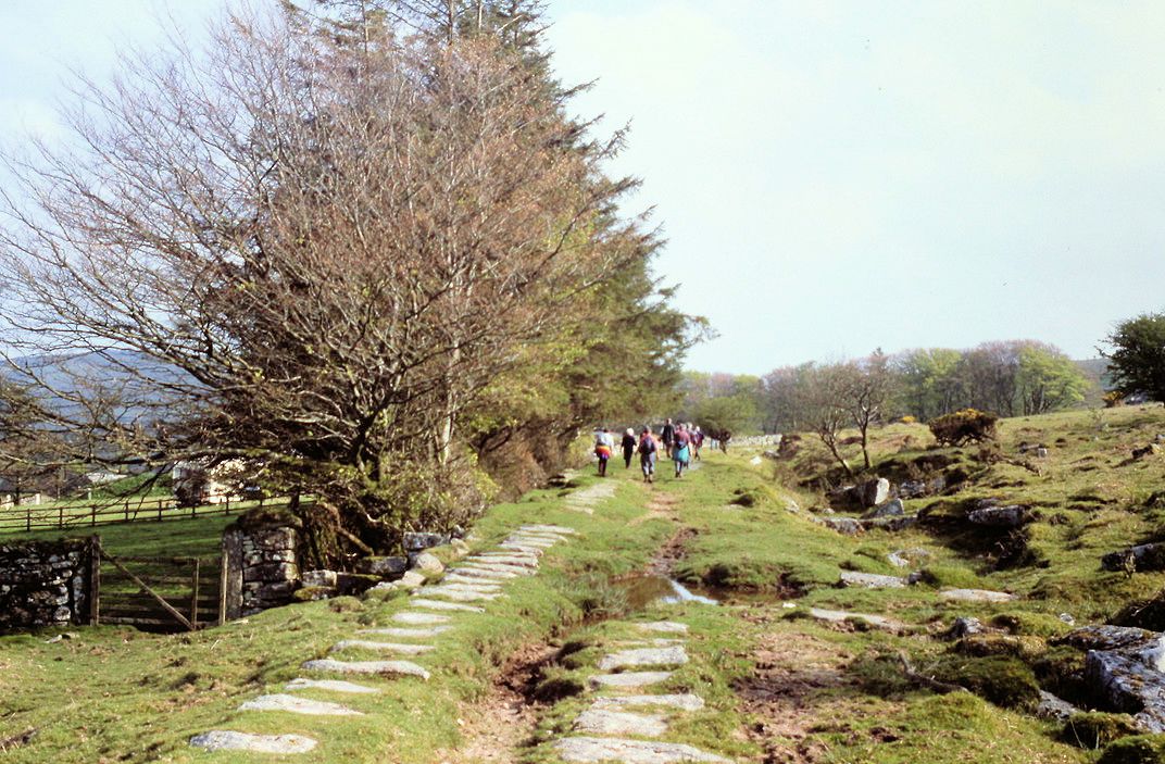
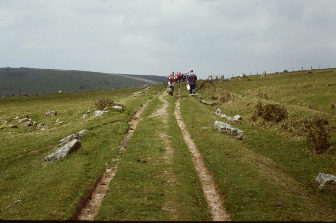
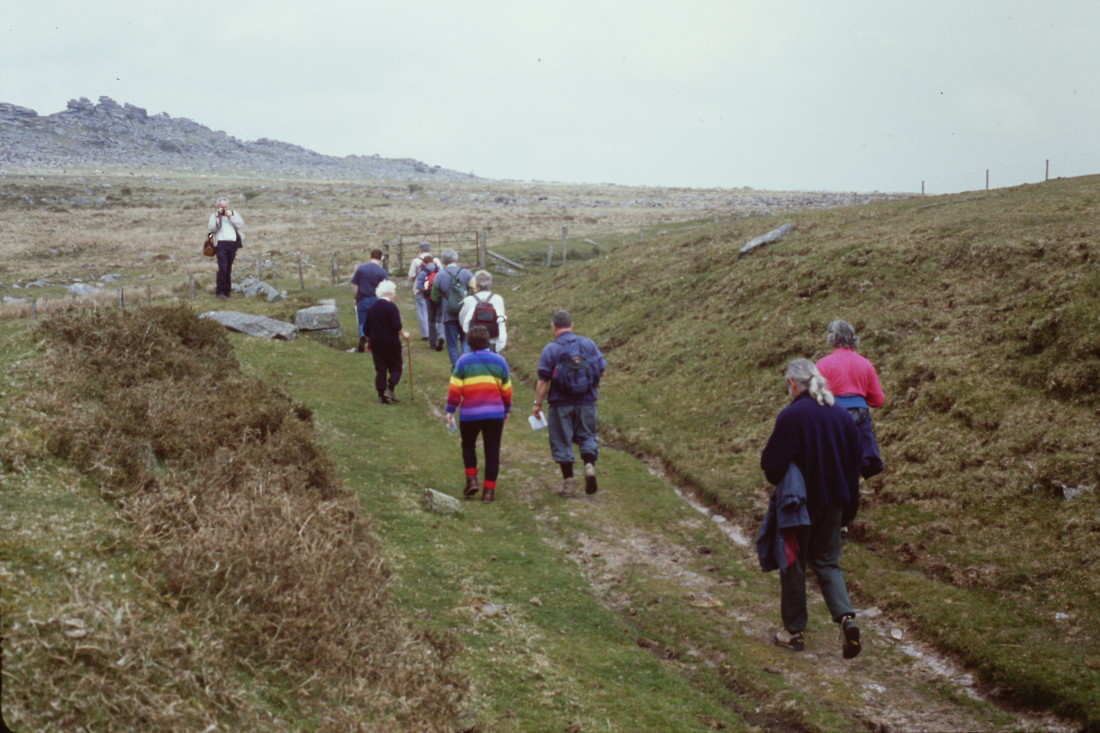
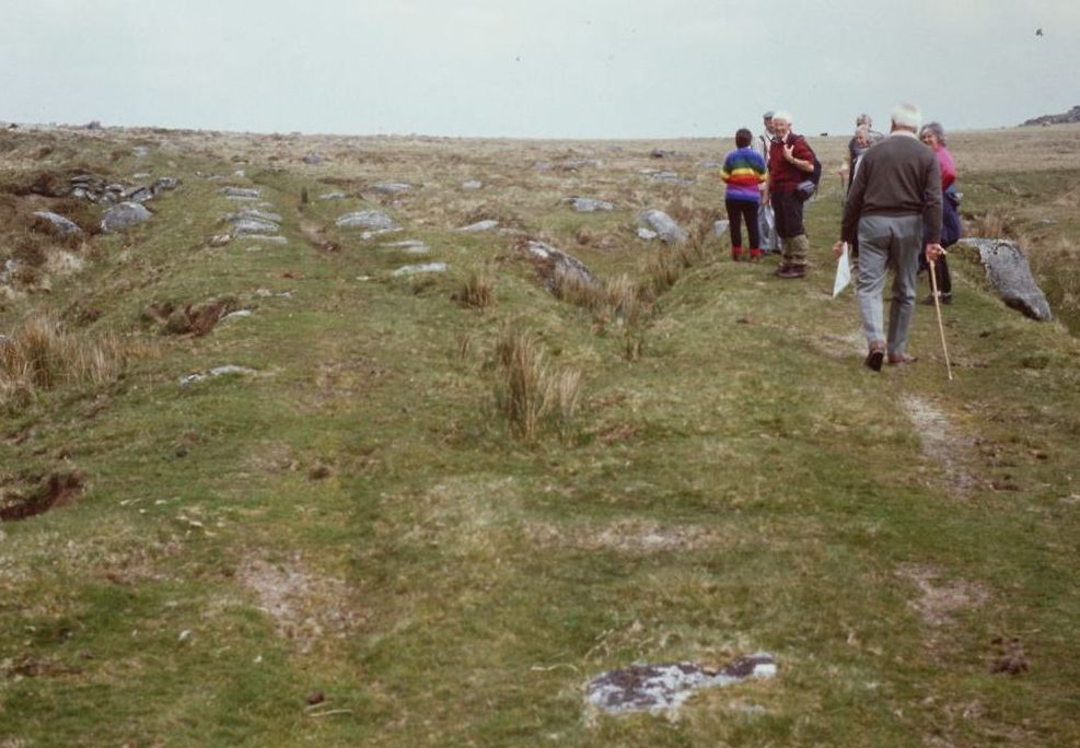
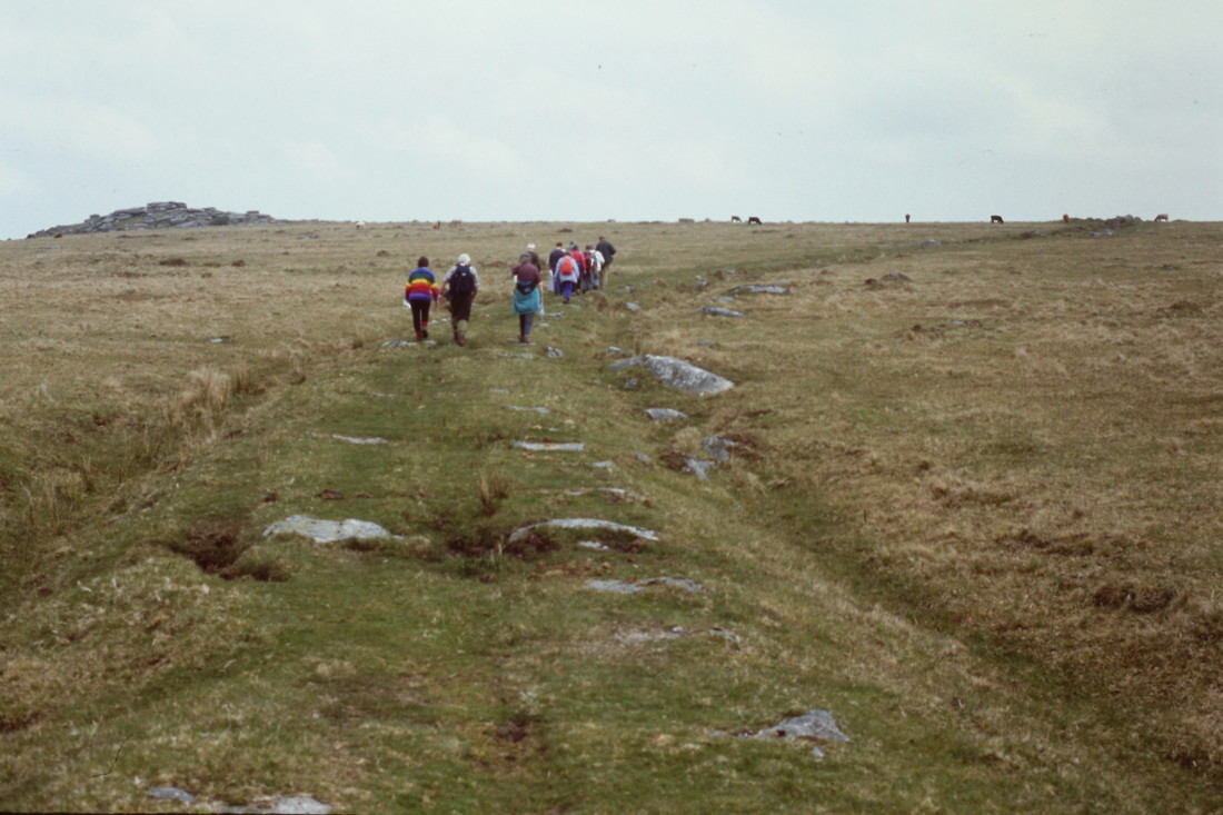
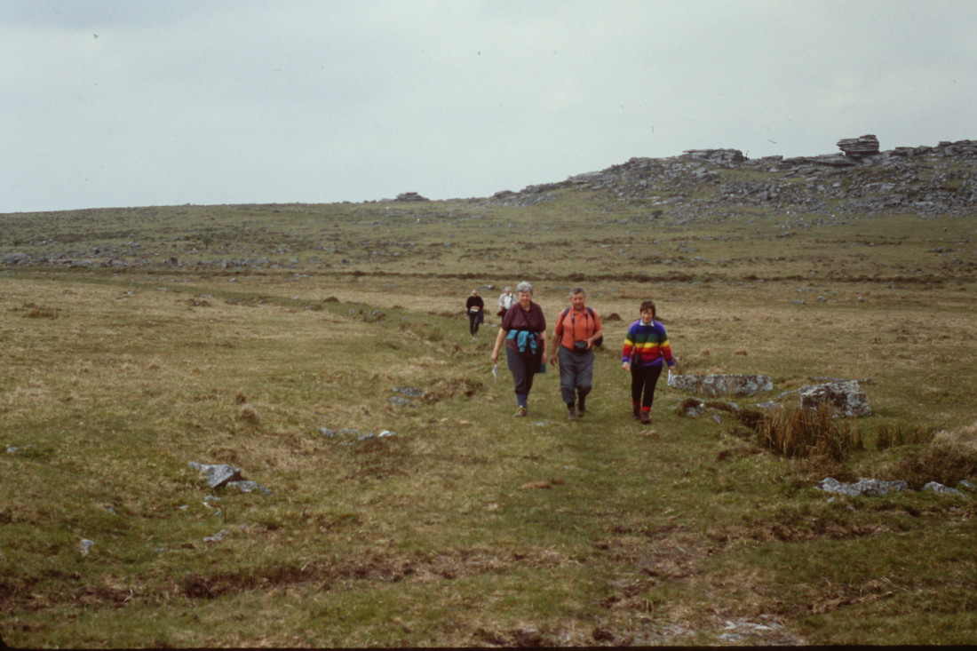
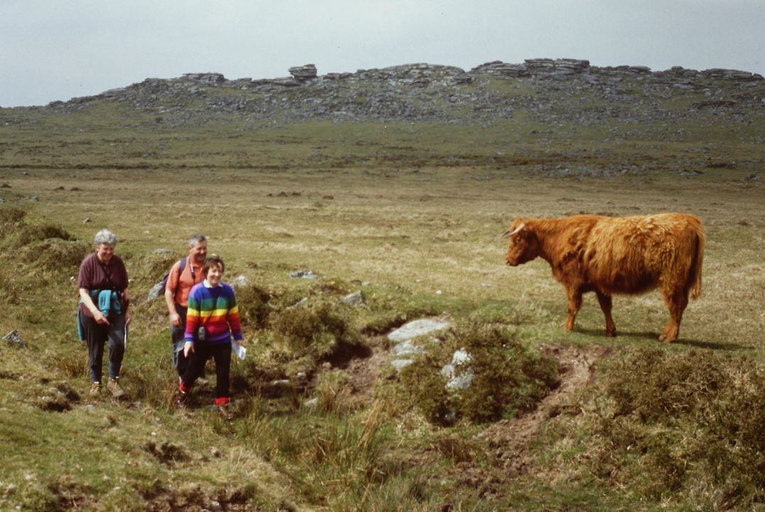
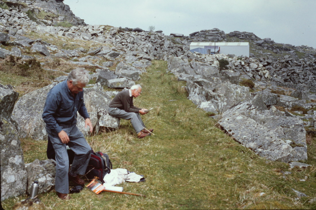
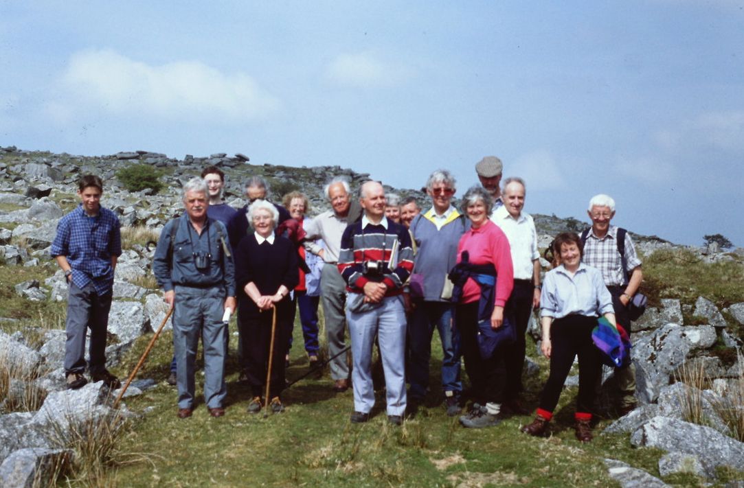
Mike Roach for organising and compiling the information for the various walks by the Cornwall Railway Society which were held on 1st June, 1996 to The Cheesewring. 1st May, 1999 to Kilmar Tor and 20th September, 2003 to the Cheesewring.
Keith Jenkin for providing the copying & correction facilities
Alan Harris, Sid Sponheimer, and Roger Winnen for providing photographs
Liskeard and Caradon Railway locomotive Cheesewring at Old Oak Common depot in 1919
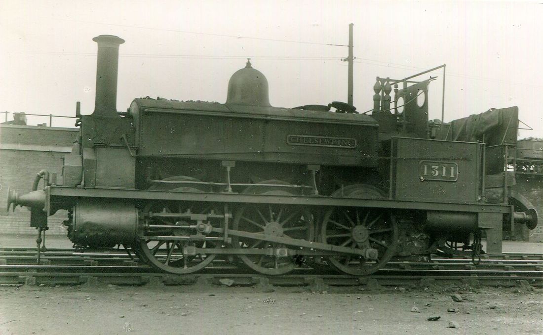
img 296a Cheesewring contructed by Gilkes Wilson & Co in 1864 for the Liskeard & Caradon Railway,it was later rebuilt at Swindon in 1907 and became GWR 1311 two years later and moved to London. This photograph was taken in the yard at Old Oak Common, London 26th July, 1919, four weeks later she was withdrawn for scrap. Alan Harris Collection
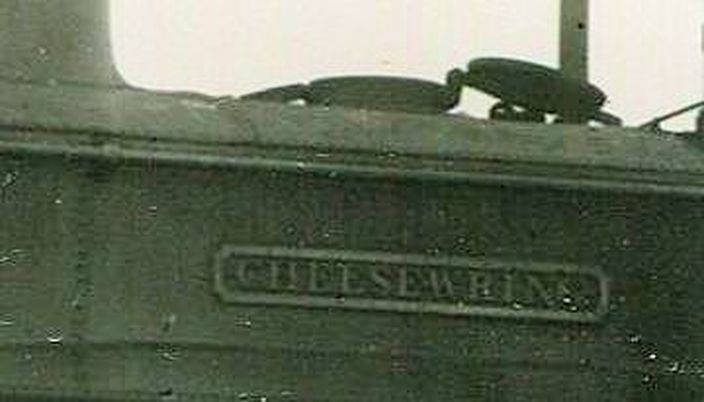
img296b The nameplate of Cheesewring a Liskeard & Caradon loco which in later years worked in the London area, withdrawn in August 1919 after a visit by members of the Railway Club who persuaded the GWR shed staff to couple Cheesewring to an engine in steam, out over the turntable, and to position her on a siding adjacent to the ramp of Old Oak Commons huge coaling stage. This is where Herbert Gordon Tiddy, a renowned railway photographer for the Great Western Railway, captured the sorry state that Cheesewring had descended to on film. Alan Harris Collection -
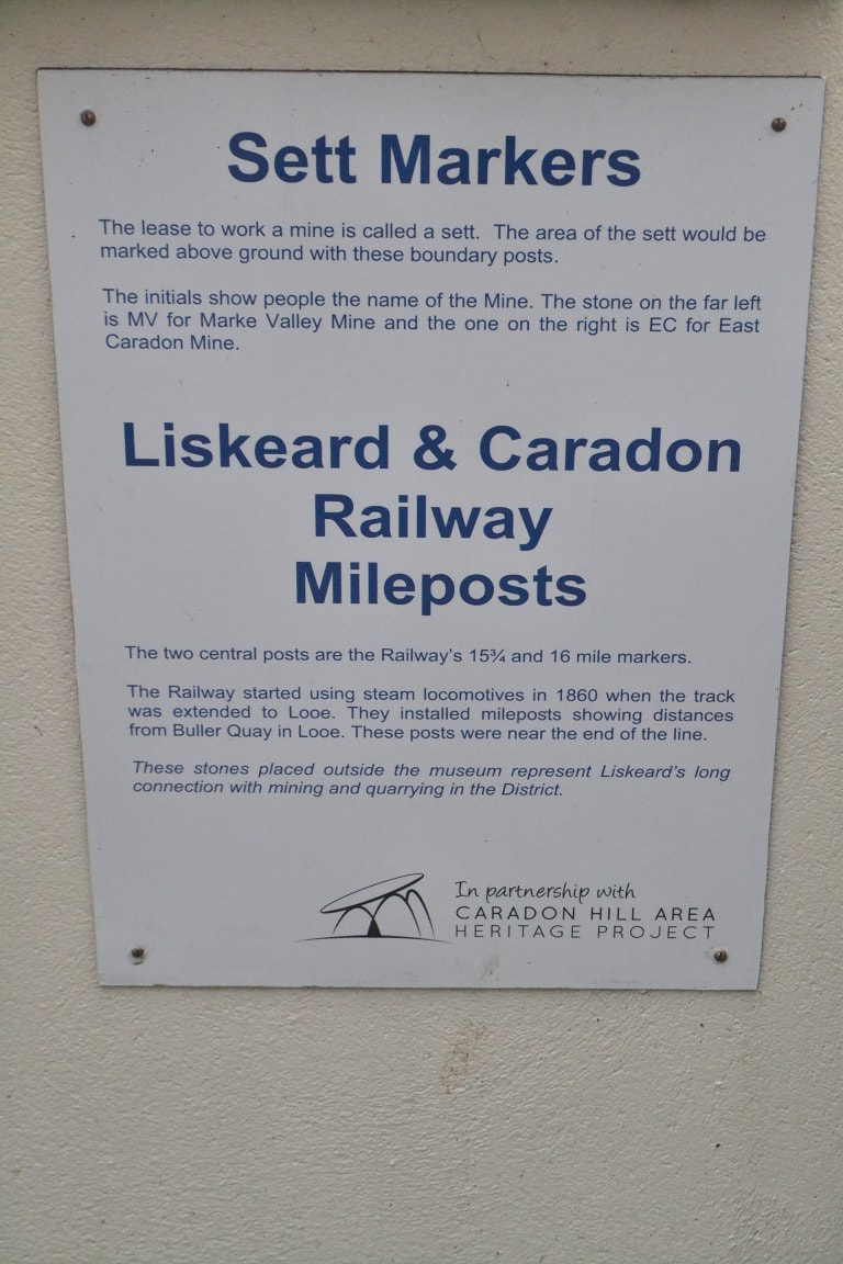
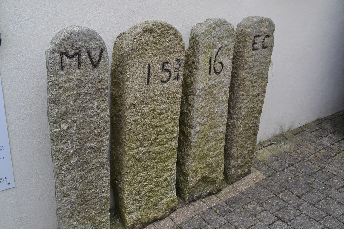
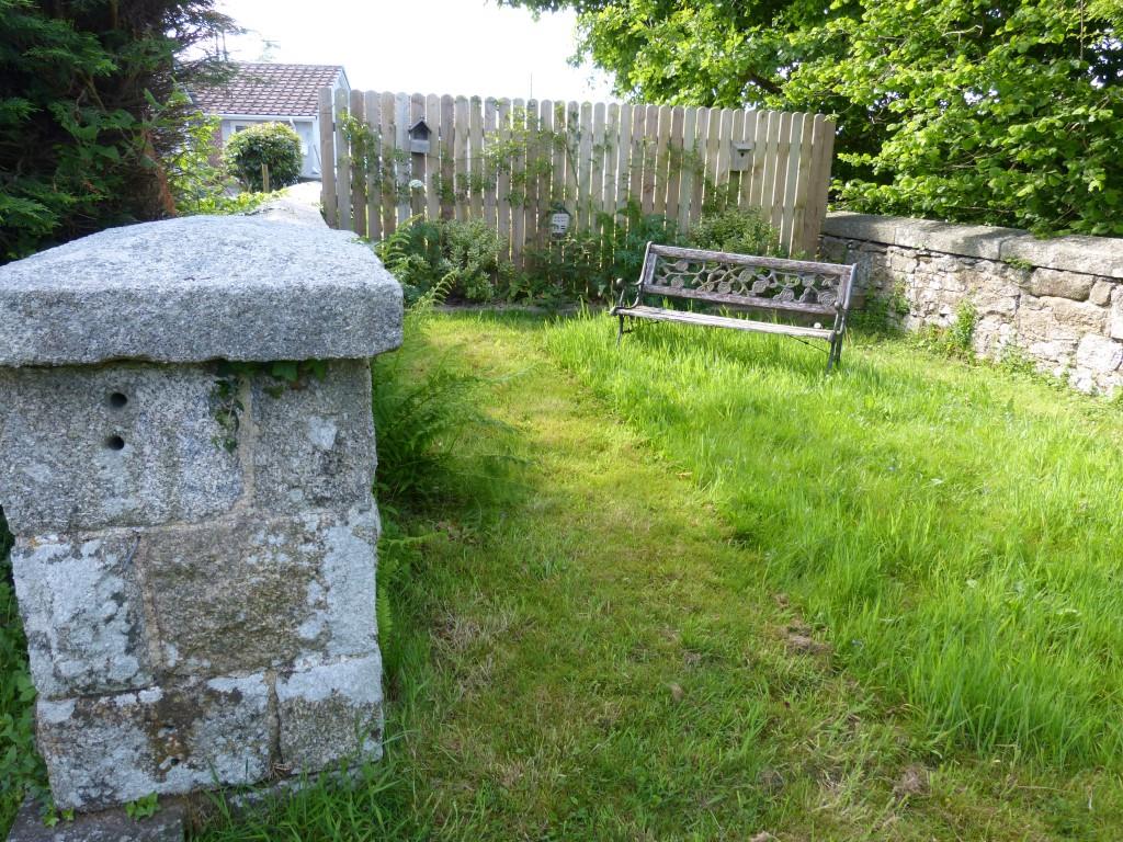
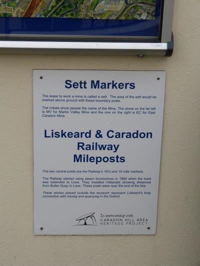
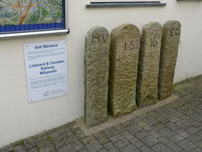
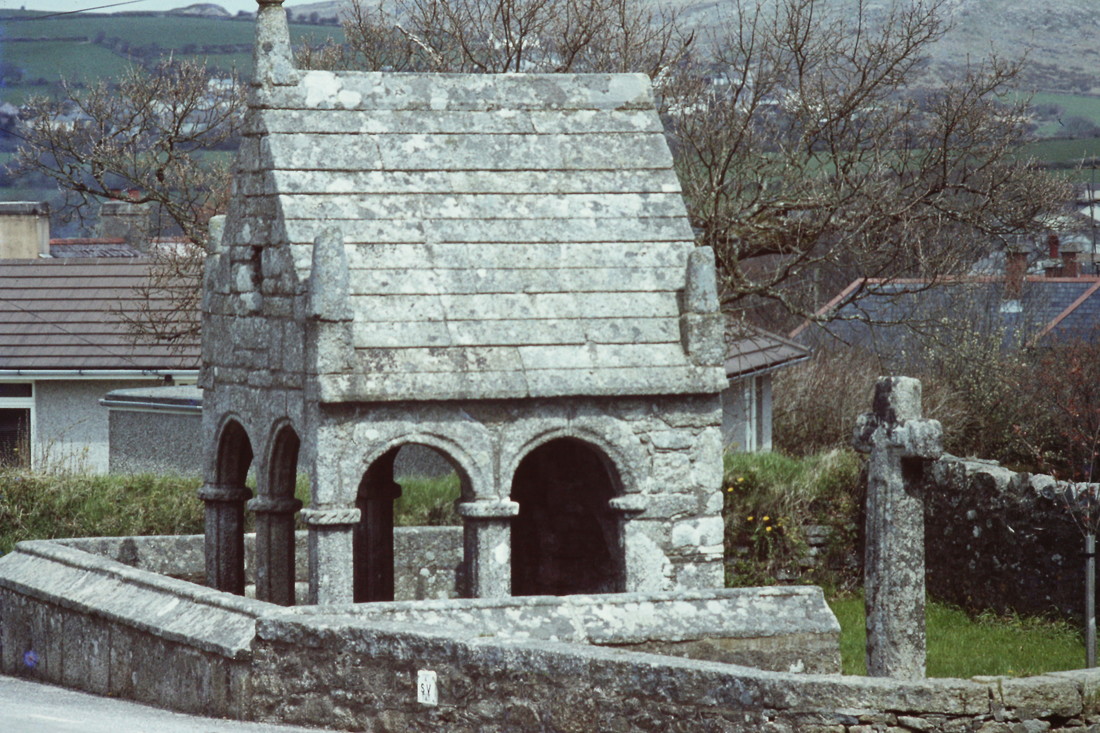
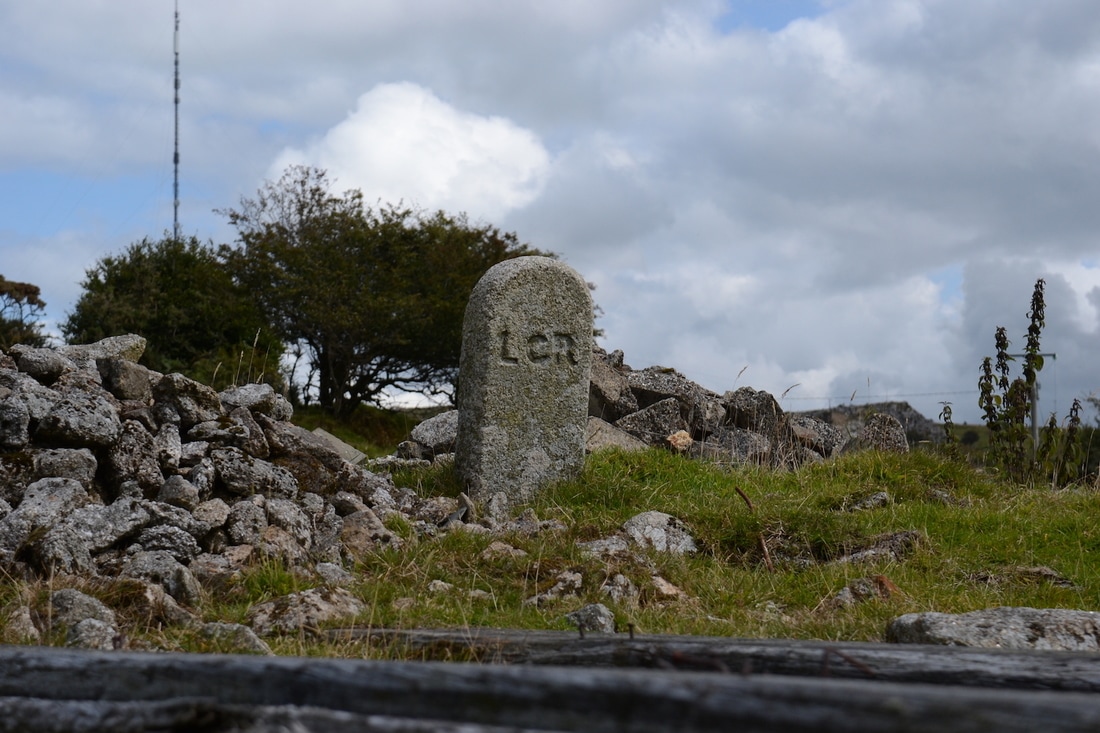
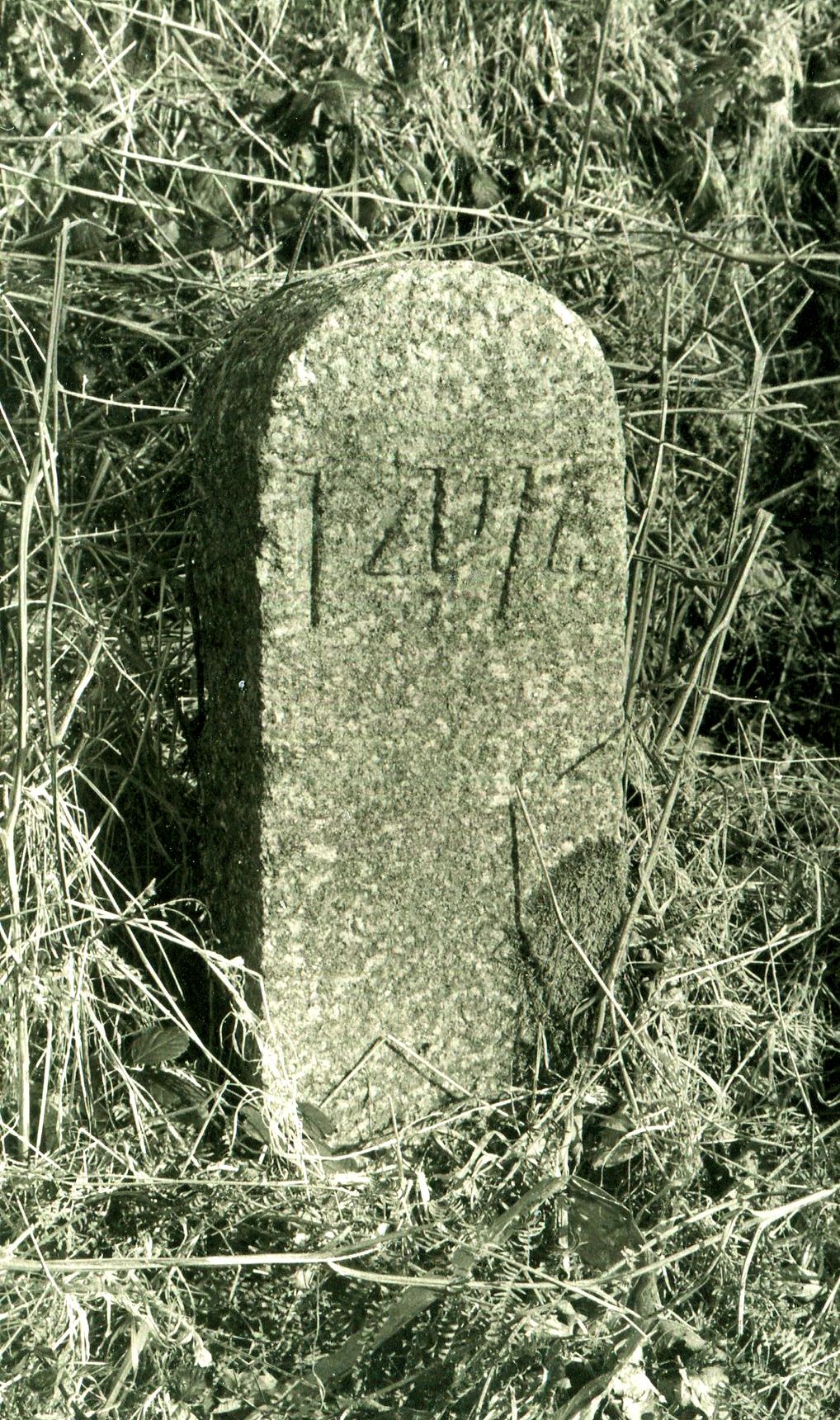
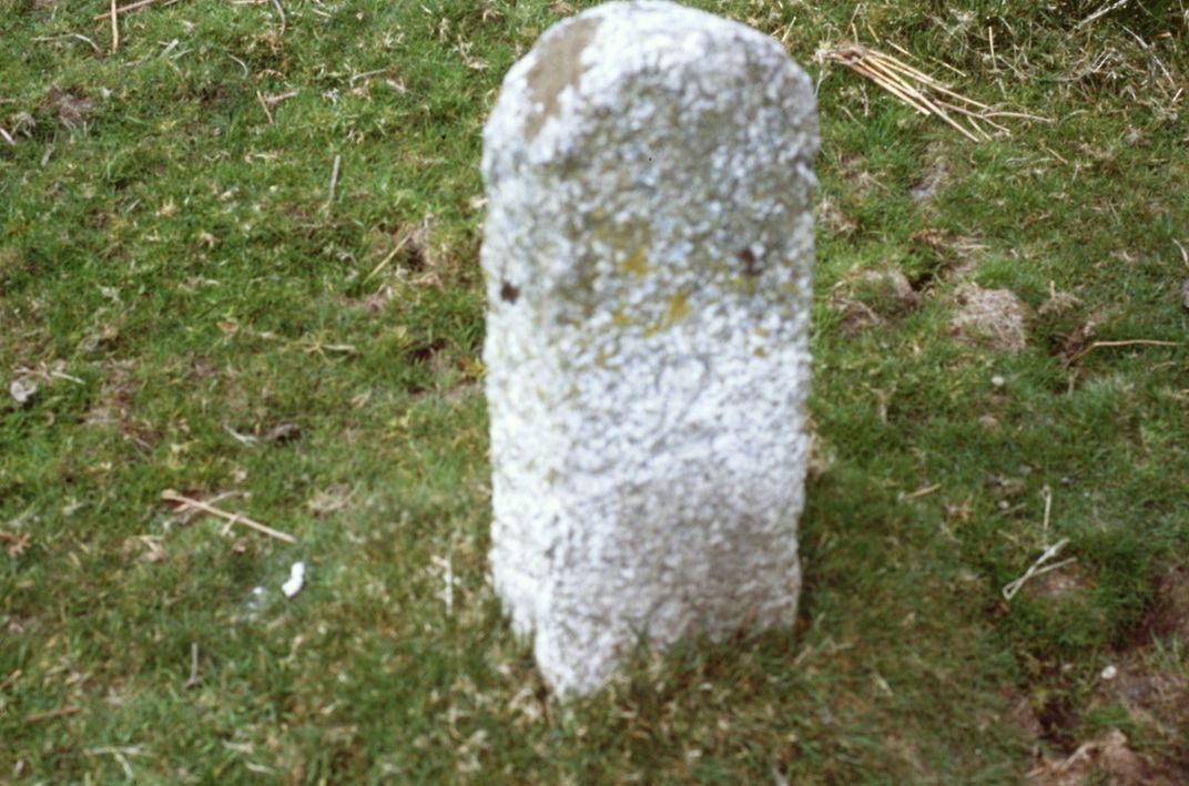
After photographing the empty tank wagons departing on the Moorswater Cement Train 0n 3rd August, 2017 I visited Liskeard Town Centre and came across these Milepost etc of the Liskeard & Caradon Railway situated outside of the Town Museum
Roger Winnen
Roger Winnen
We now follow the route up from Moorswater to Caradon and the line's eventual terminus, high up on Kilmar Tor
Moorswater
Click here for map of Moorswater area courtesy National Maps of Scotland 25" to the mile 1892 - 1905 http://maps.nls.uk/geo/explore/#zoom=16&lat=50.4526&lon=-4.4867&layers=168&b=1
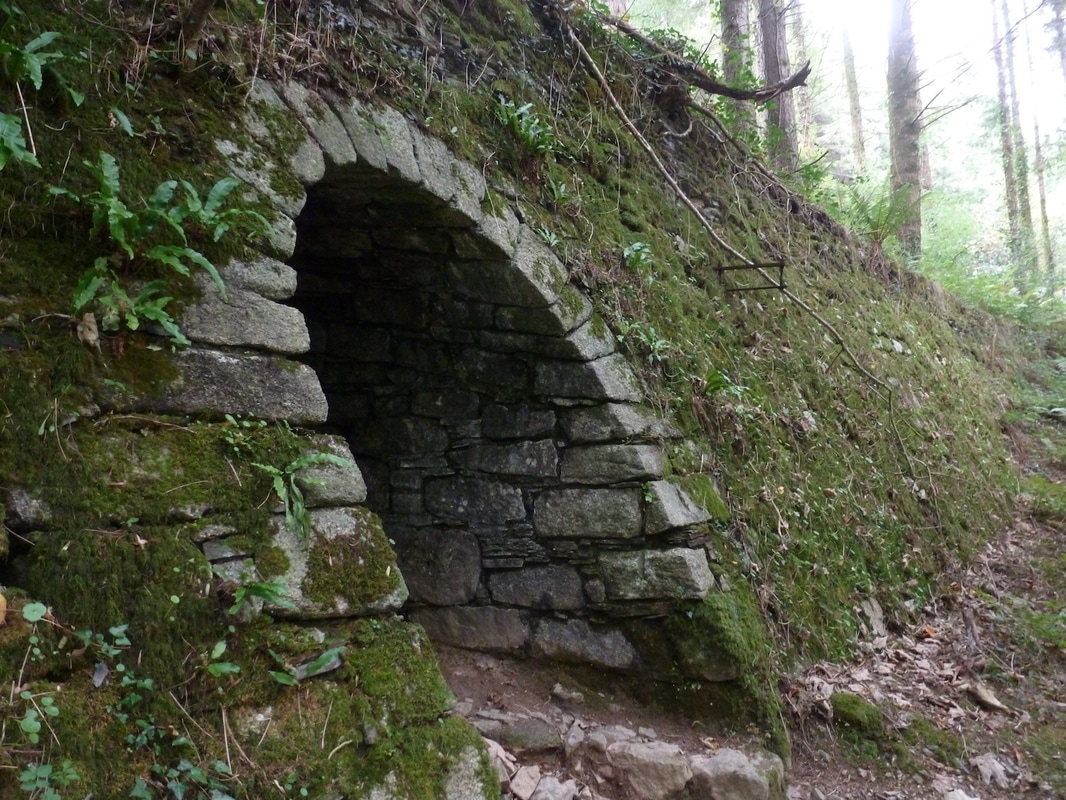
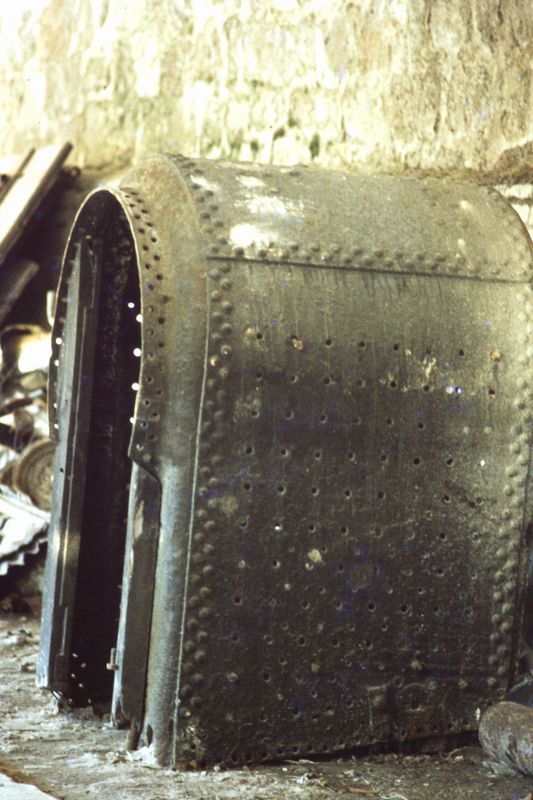
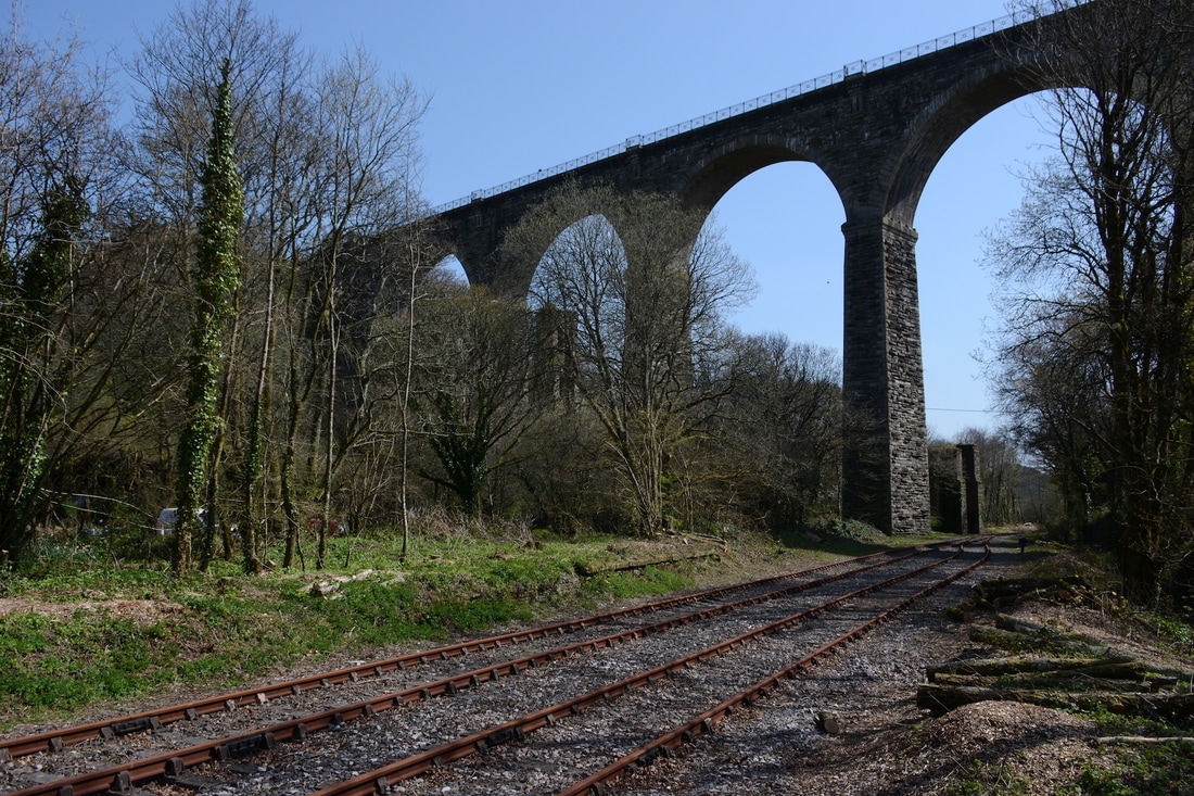
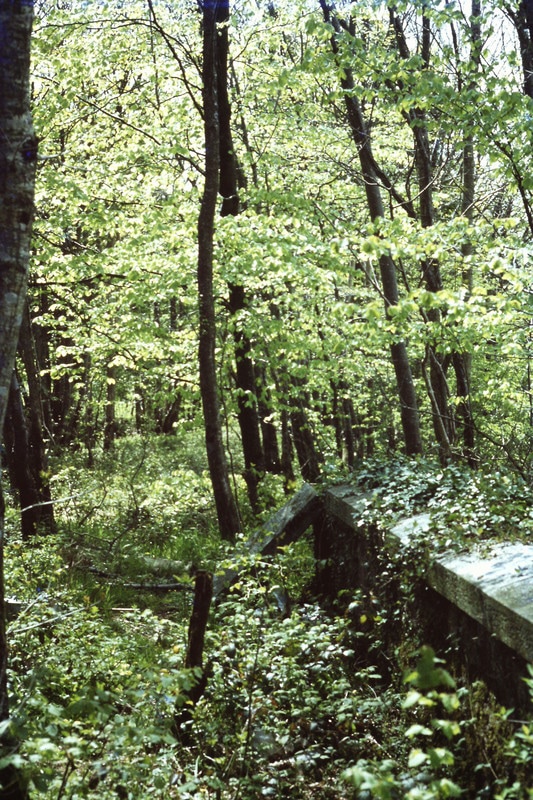
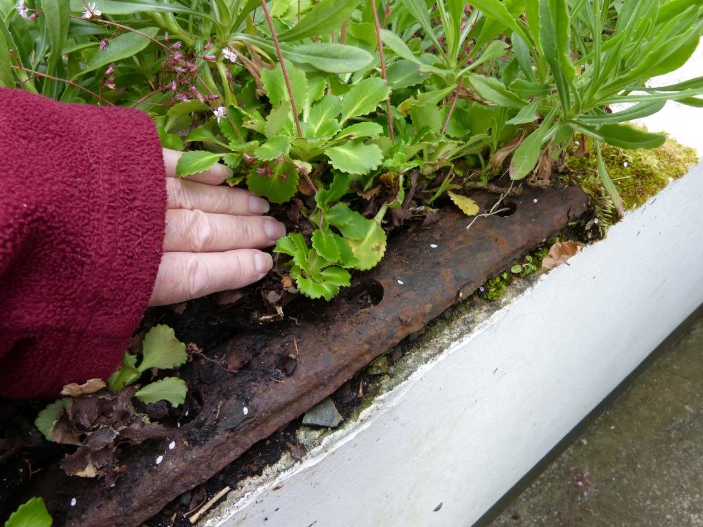
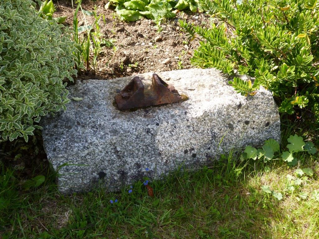
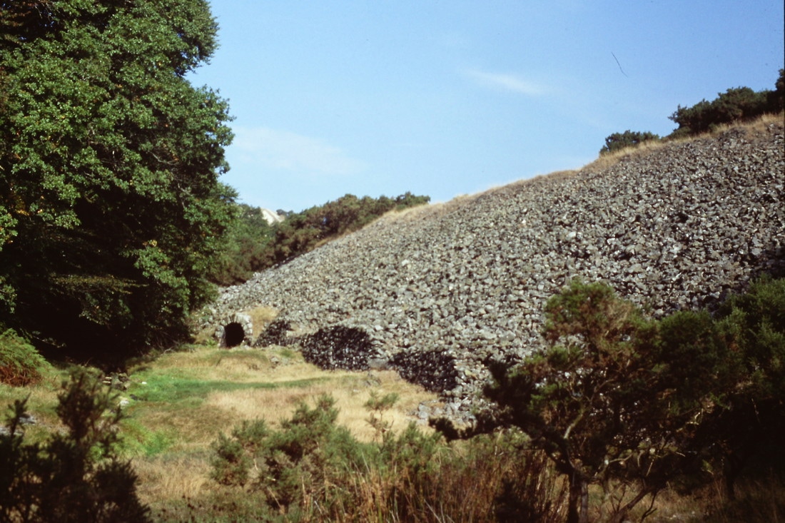
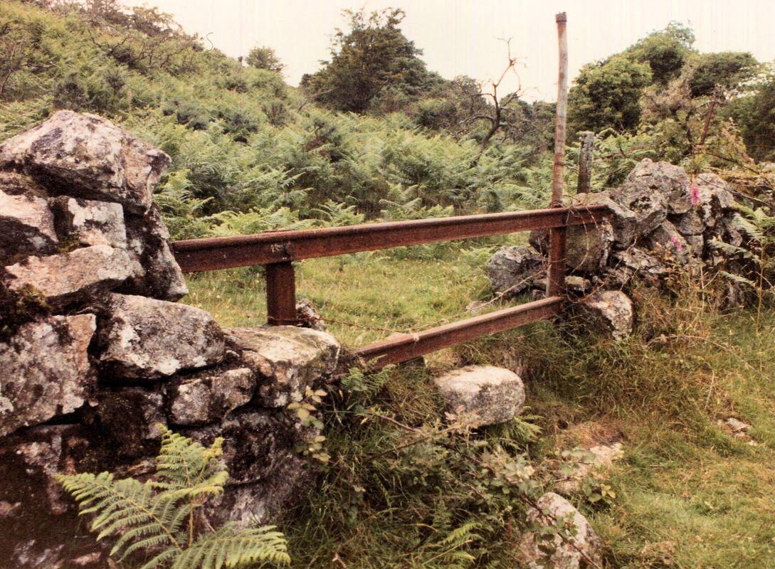
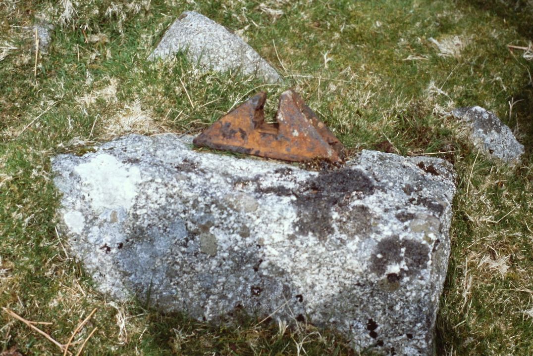
PM 004 1610 Part of the track is carried on a massive stone faced embankment, which passes over a foot tunnel to provide access to the woodland bordering the track. On this stone embankment is a rectangular metal relic, which might be something to do with the signal and telegraph equipment that was added later by the GWR during their ownership from 1909. Peter Murnahan
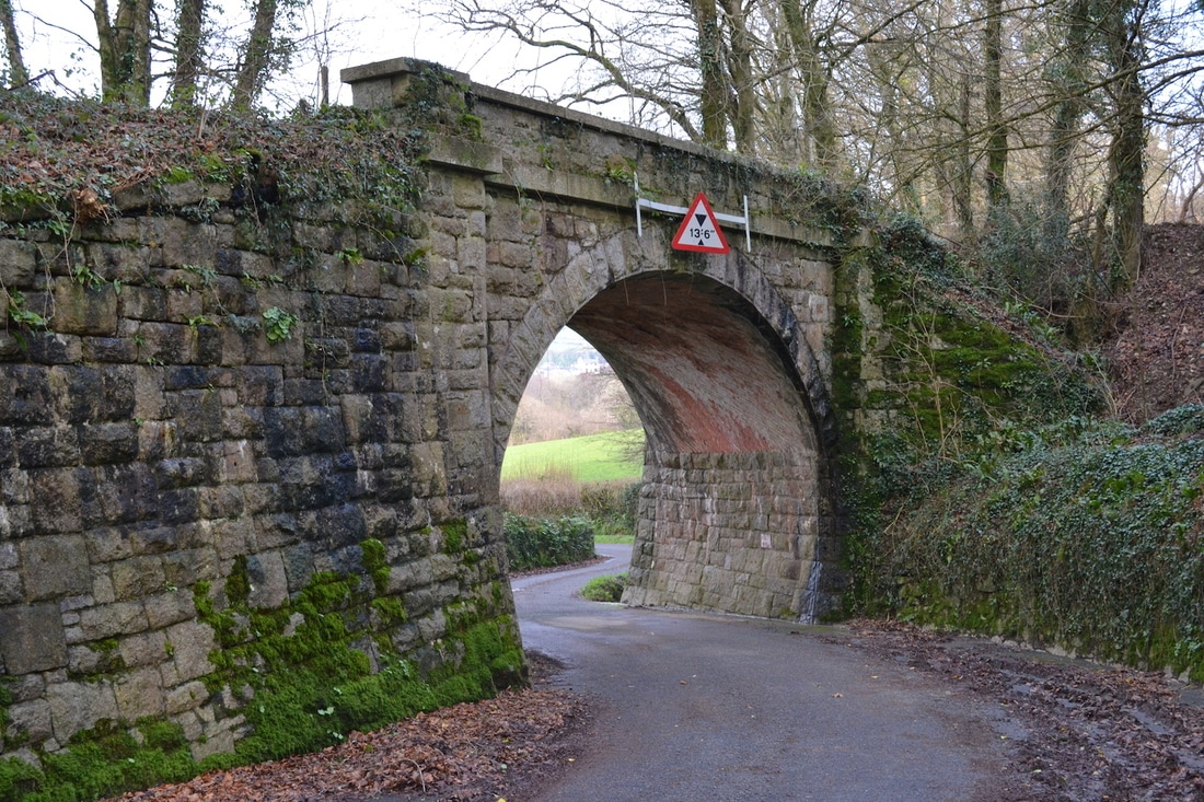
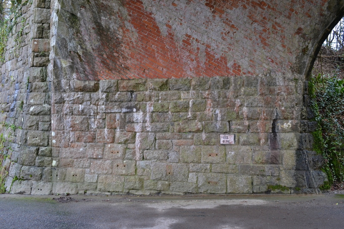
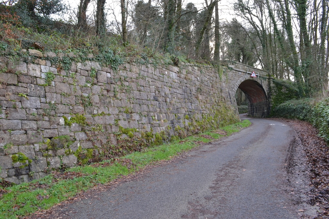
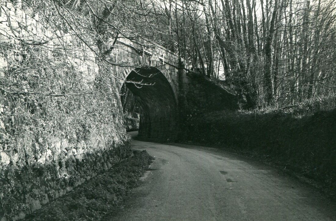
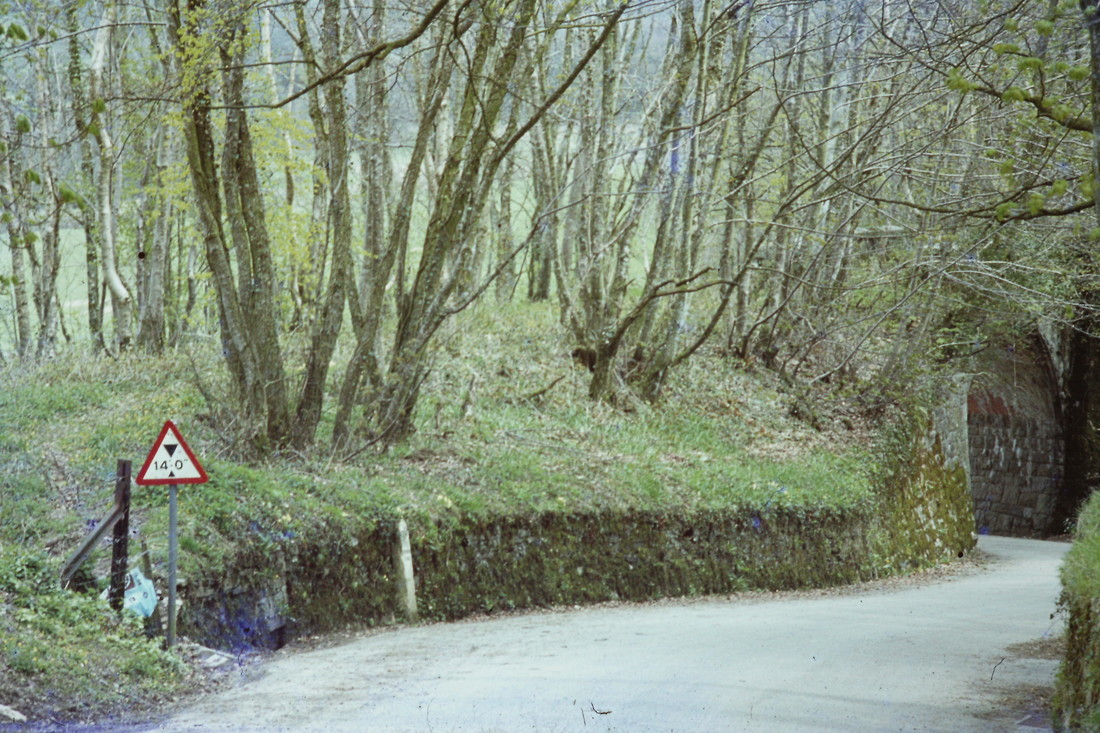
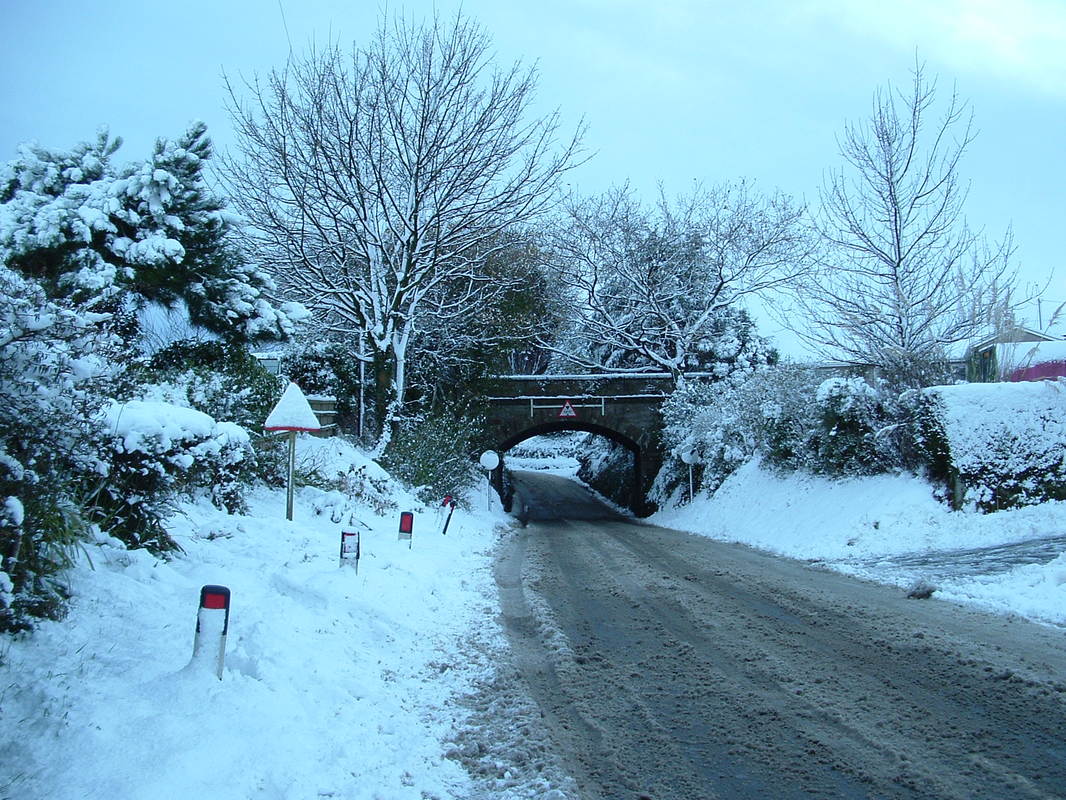
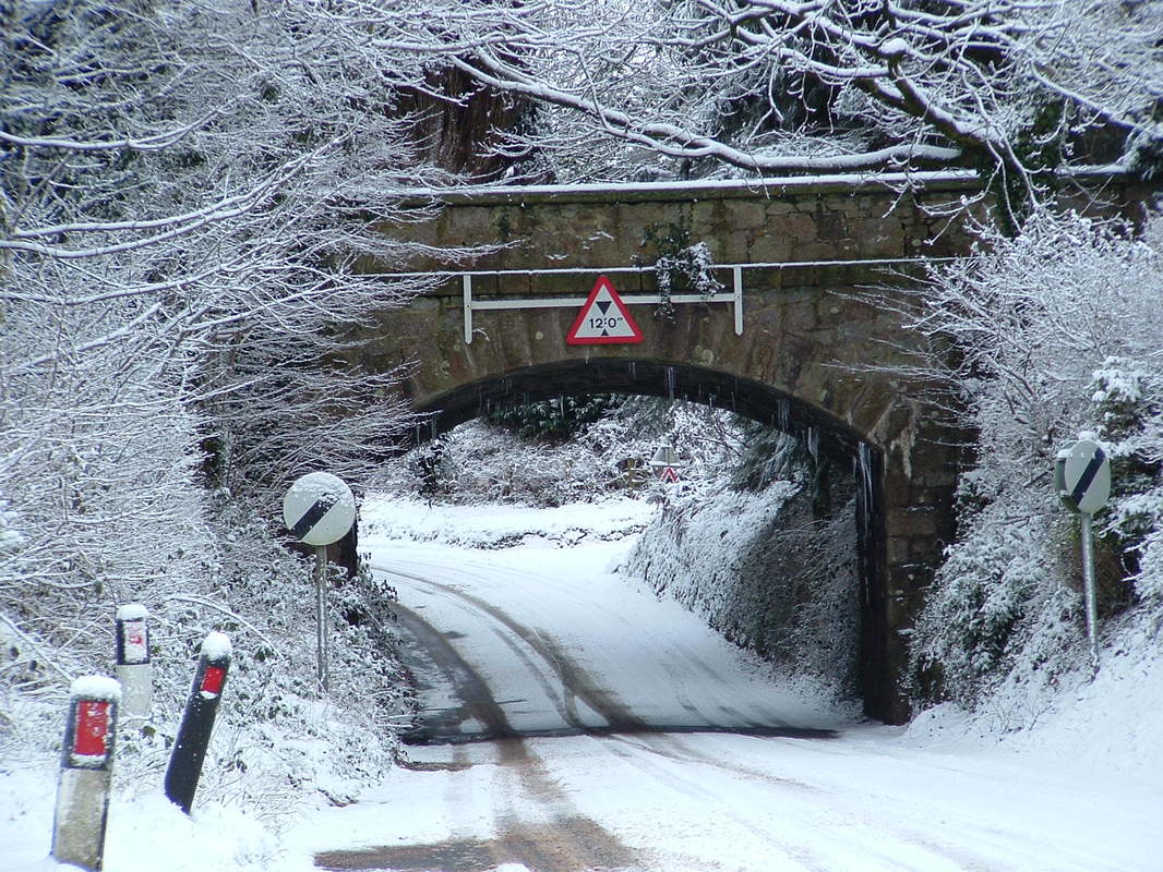
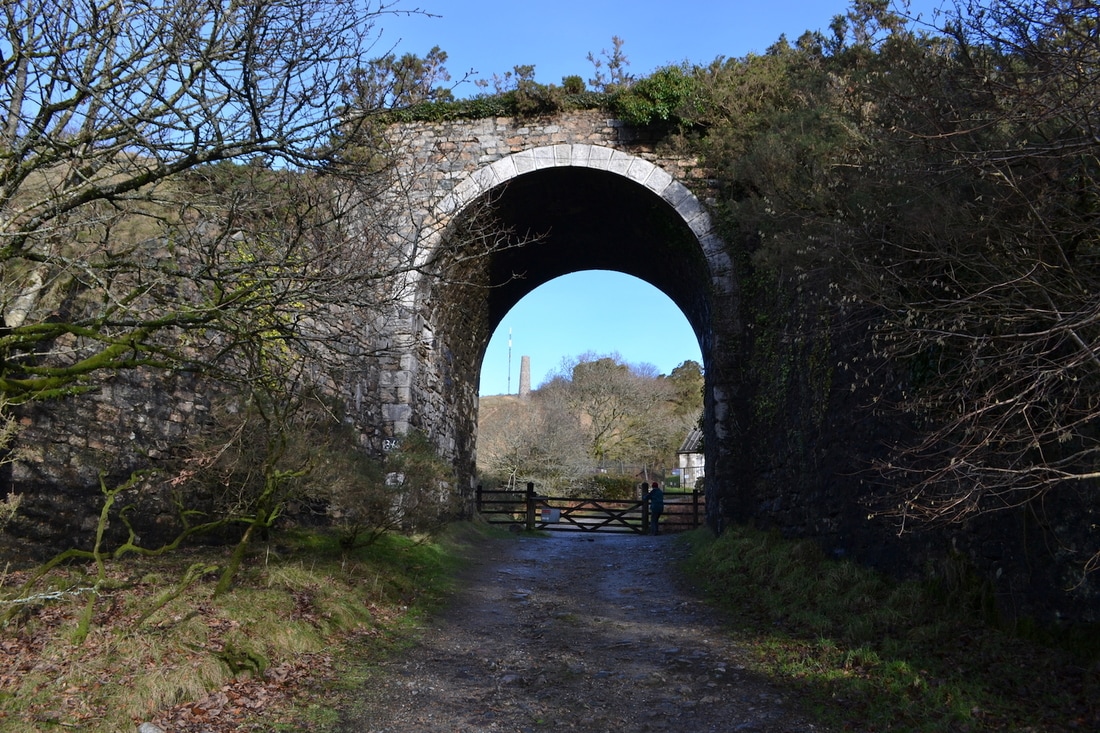
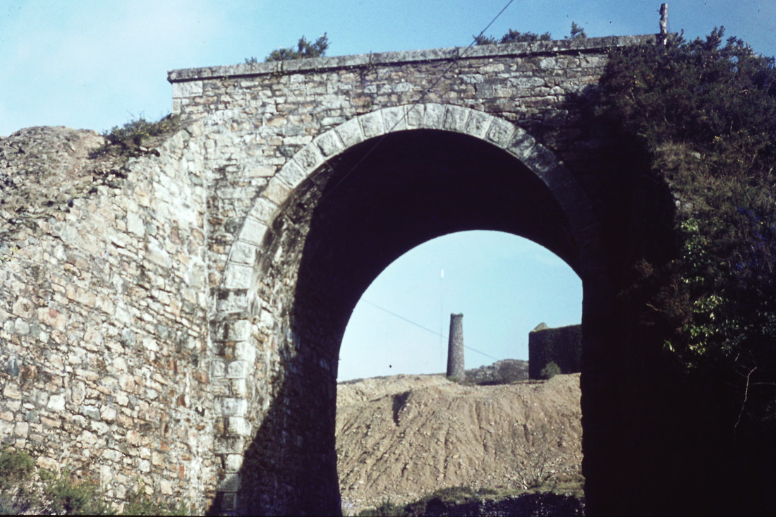
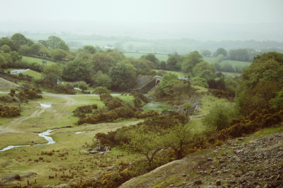
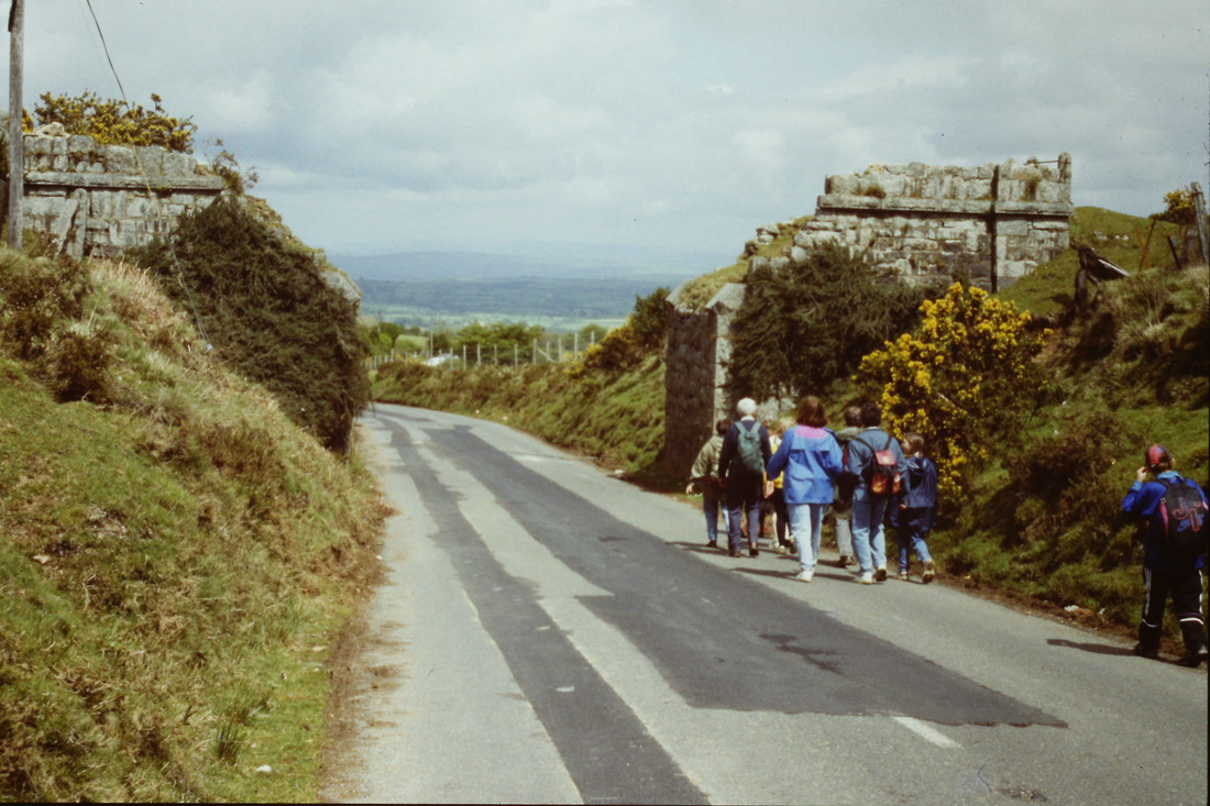
PM 006 1301 This is Woodhill Bridge on the line from Moorswater built in 1846 (to join the upper section from Cheesewring to Tremabe of 1844) the line crossed the minor lane on a level crossing. However with the introduction of locomotives on the line the company were required to build this graceful bridge in 1863/4 0551R
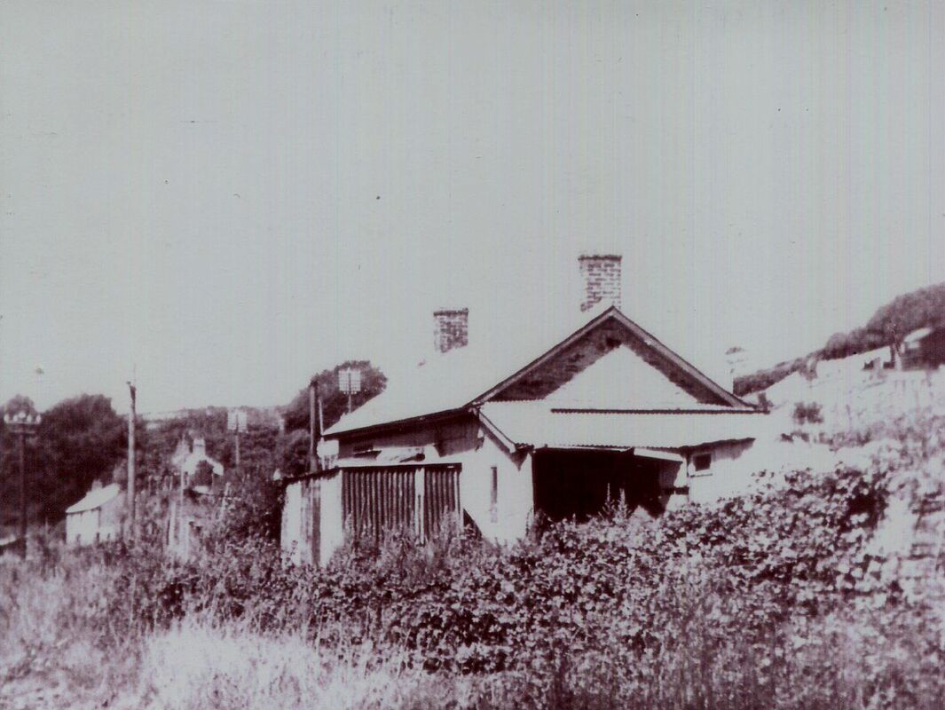
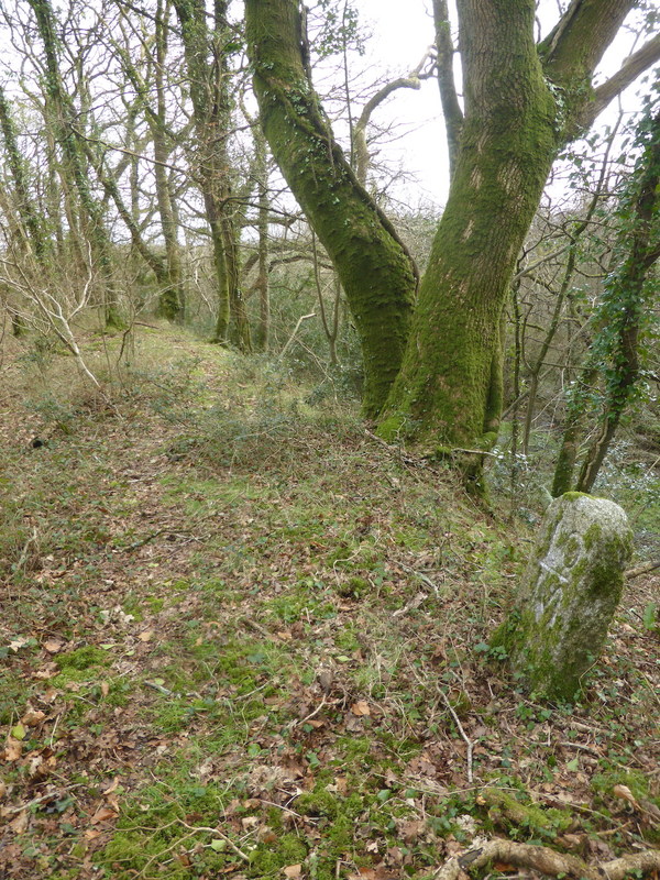
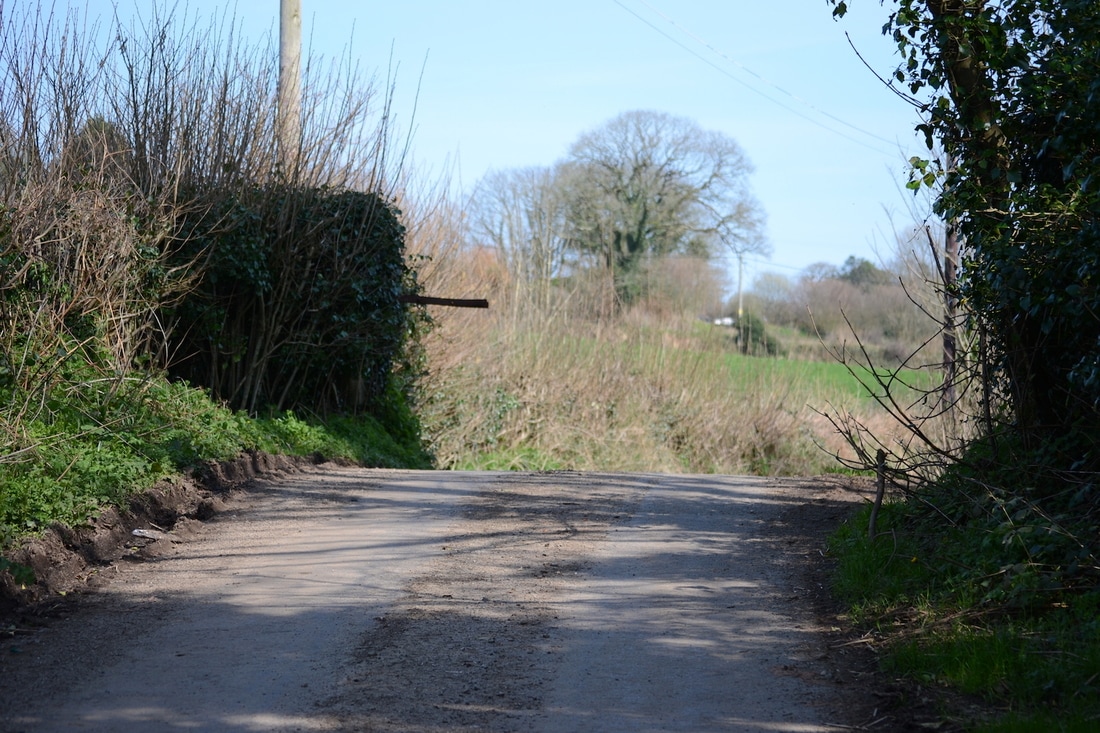
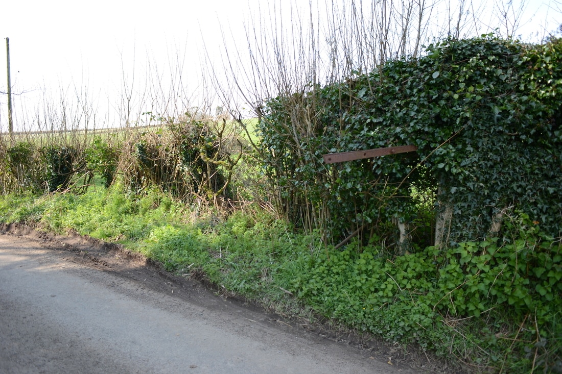
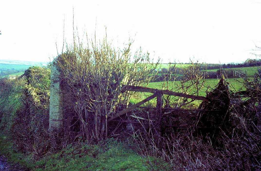
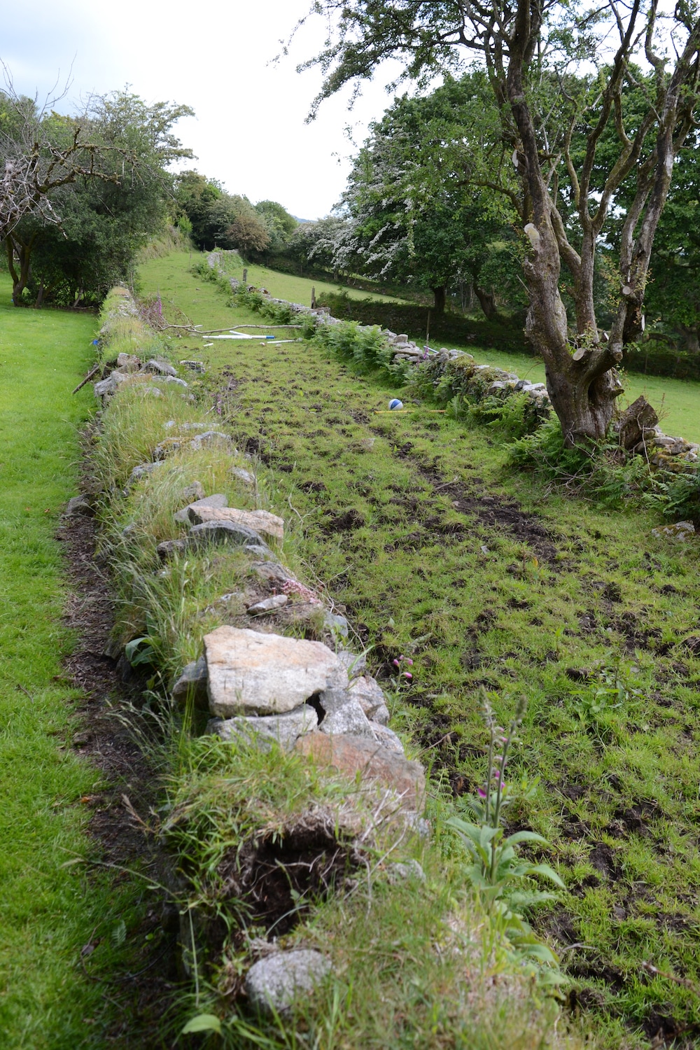
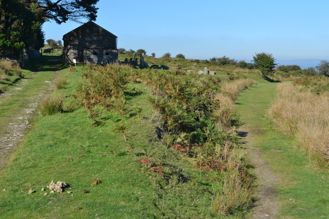
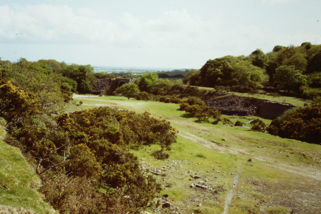
From Woodhill Bridge the line then disappears into private land, partly ploughed over, for some distance. On this section, the next clear relic is the site of the old level crossing across a minor lane at Old Treworgey. Here, the road level still rises to cross the track, where remains of the crossing keeper's hut and gateposts (with hinge) still remain in a ruinous condition.
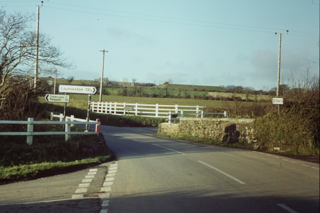
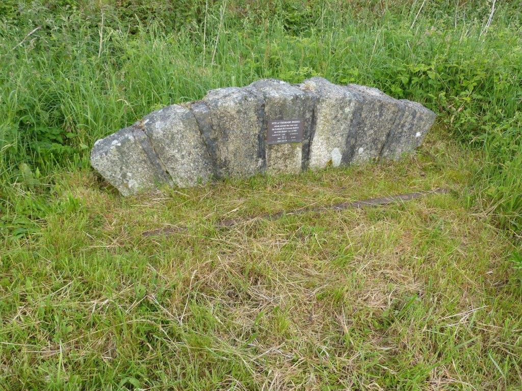
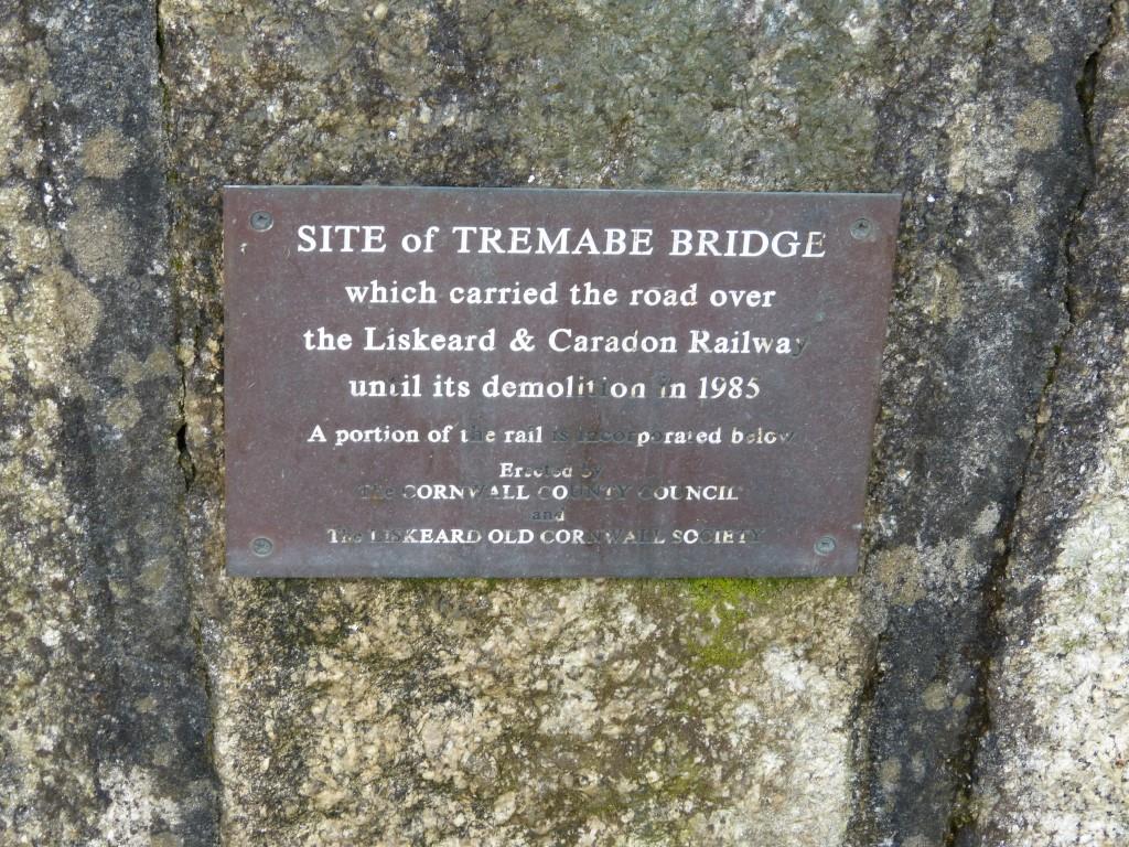
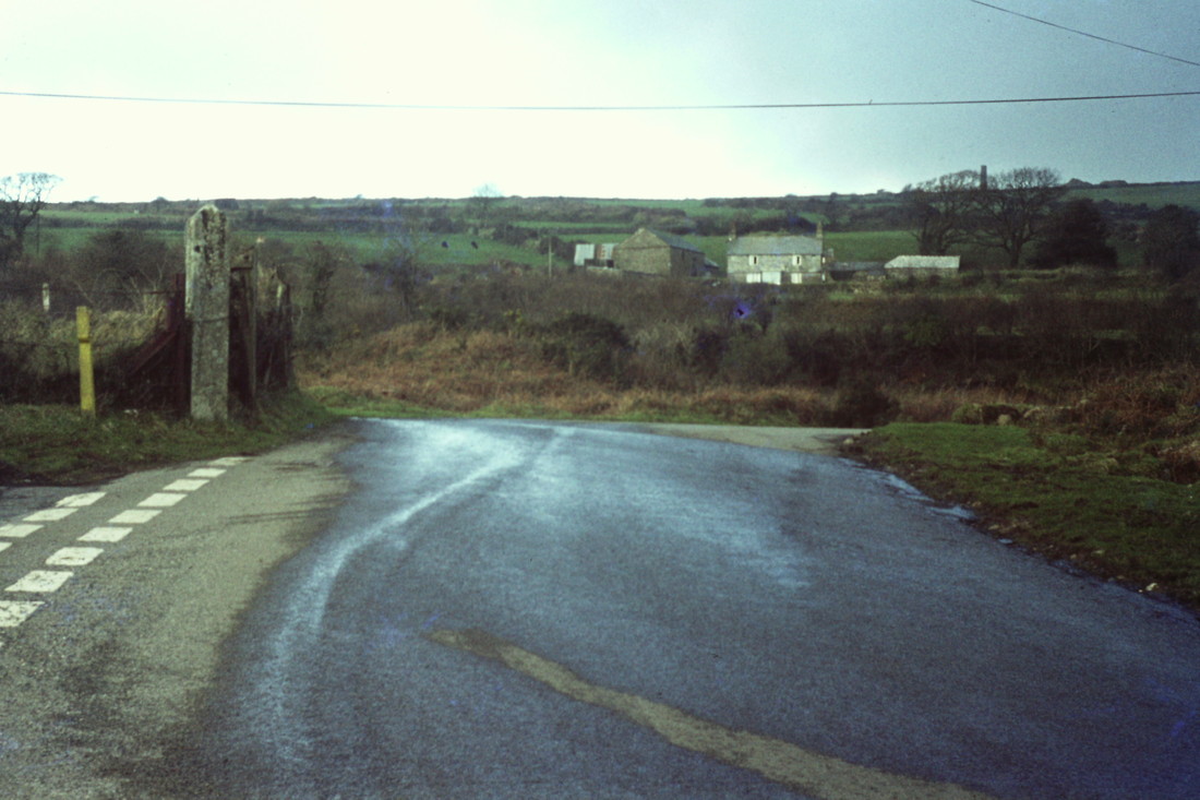
750201q The line crossed under the road at this point running parallel alongside the road to Treworgey at this road junction near Tremabe. At this point the road has been widened and the bridge is no longer there, but there is a memorial to the bridge on the roadside verge comprising of some stones and a short section of rail. Copyright Roger Winnen
Tremar area map courtesy National Maps of Scotland Os 25" to the mile 1895 - 1902. Click zoom and pan
http://maps.nls.uk/geo/explore/#zoom=15&lat=50.4915&lon=-4.4704&layers=168&b=1
http://maps.nls.uk/geo/explore/#zoom=15&lat=50.4915&lon=-4.4704&layers=168&b=1
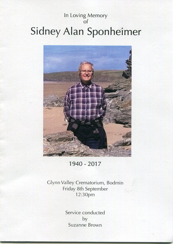
The late Sid Sponheimer
Sid, a prolific supplier of pictures to this website, knowing that his passing was near courageously gathered together a few pictures of the L & C, his passion. These follow in memory of our dear friend Sid who passed away on the 23rd September 2017.
Sid, a prolific supplier of pictures to this website, knowing that his passing was near courageously gathered together a few pictures of the L & C, his passion. These follow in memory of our dear friend Sid who passed away on the 23rd September 2017.
____________________________________________________________________________________
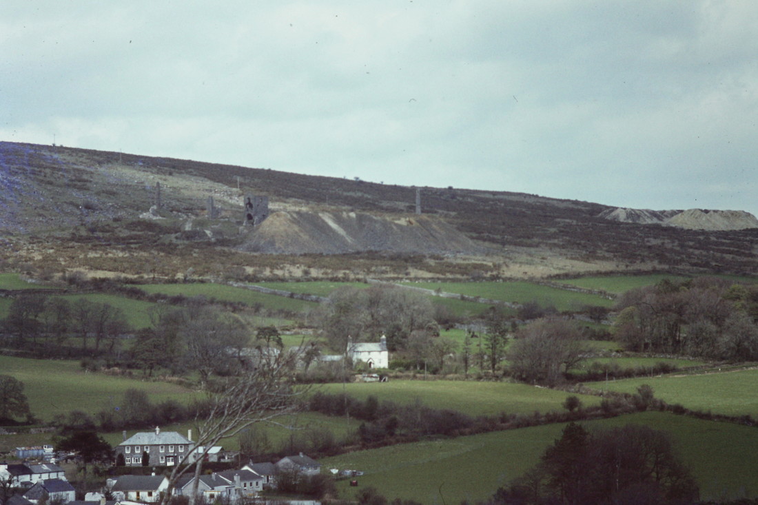
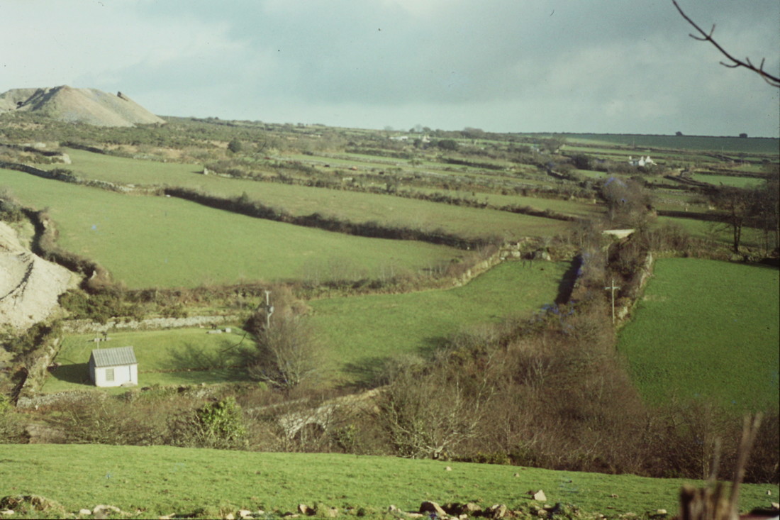
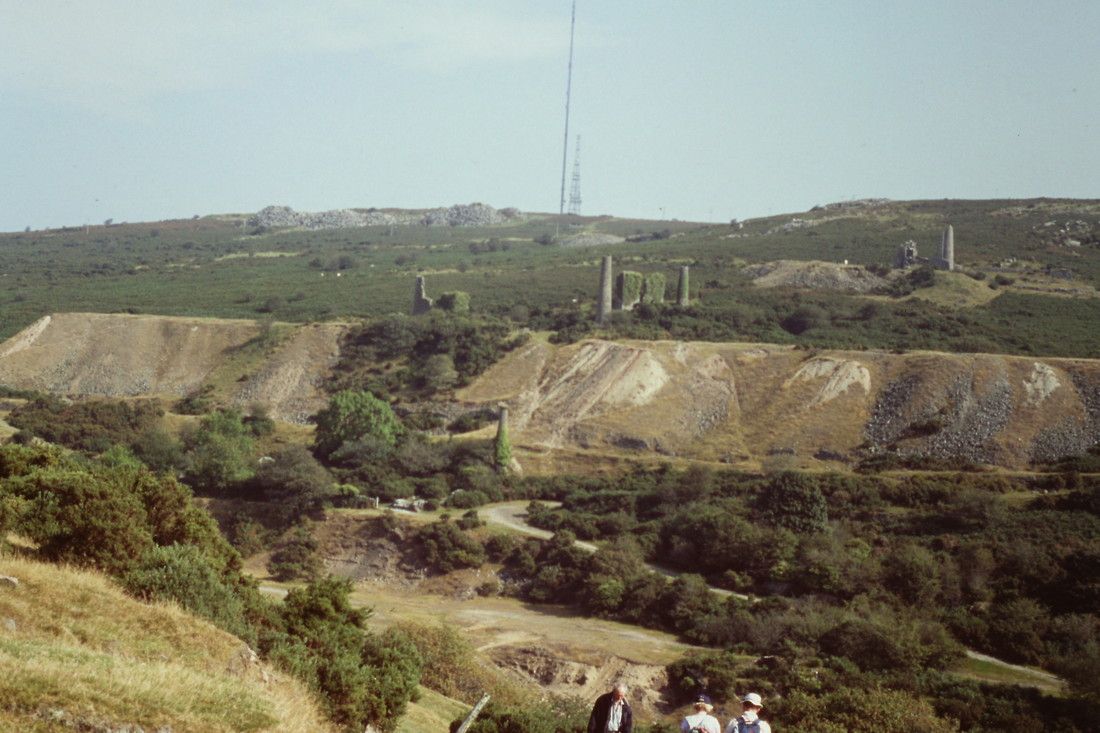
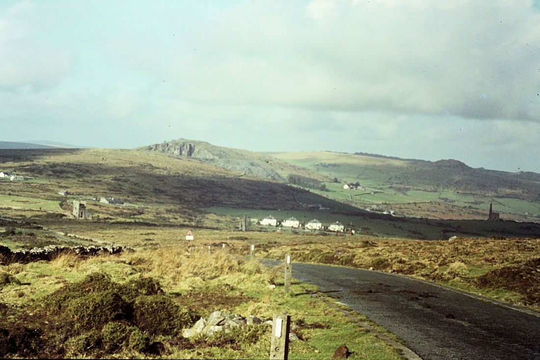
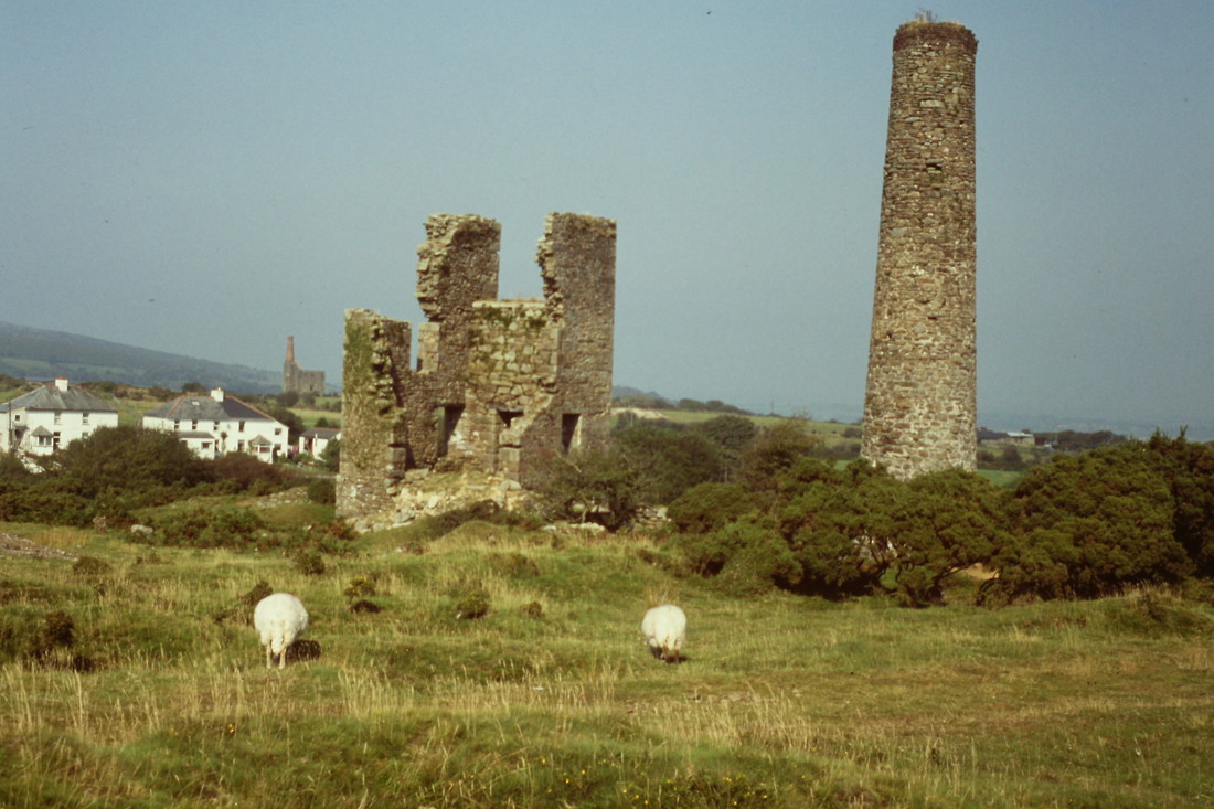
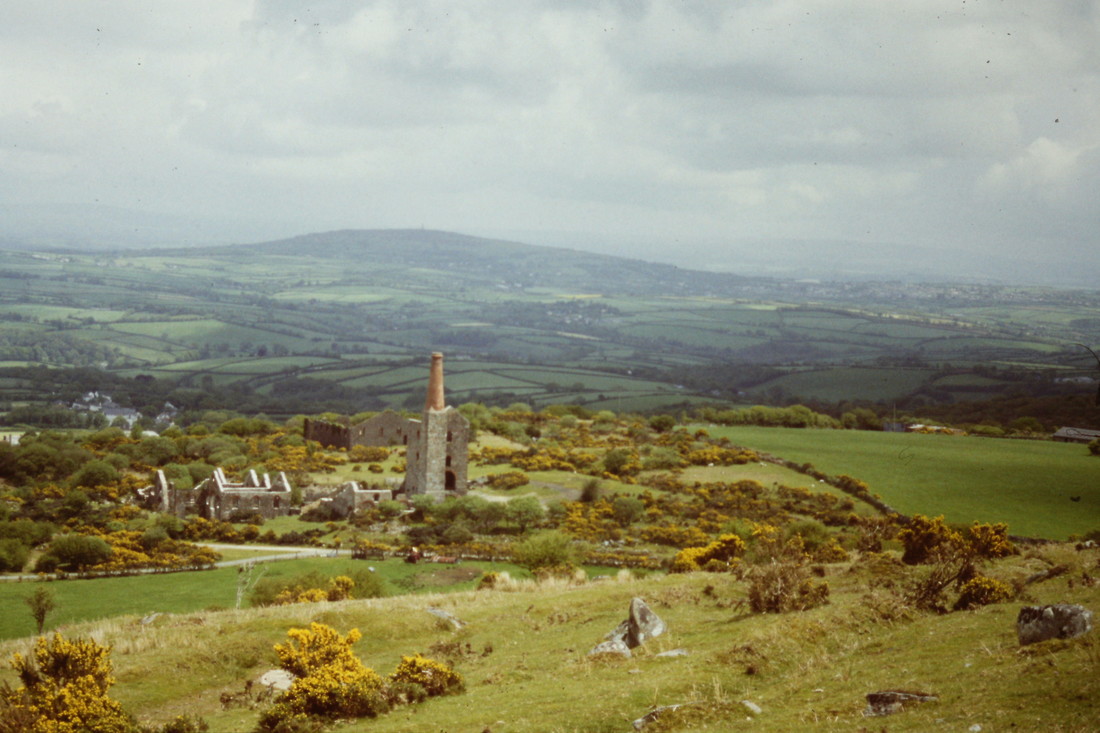
790507h This is the view across the eastern end of Crows Nest looking to two of the South Caradon Mines (Holmans nearest and Kittows away to the distance on the right) The prominent white building in the centre is Staton Farm and the railway can just be seen above its roof level running clearly across the picture from left to right towards Tokenbury Corner. Sadly, this section of line is inaccessible to the public now, being within Stanton Farm's private ownership. Copyright Roger Winnen
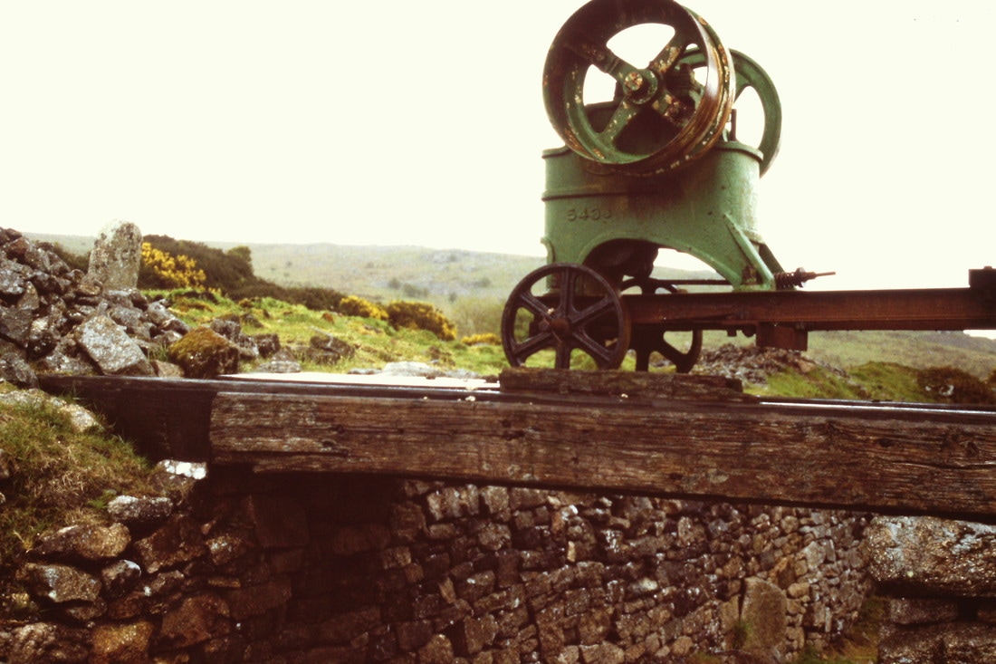
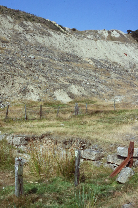
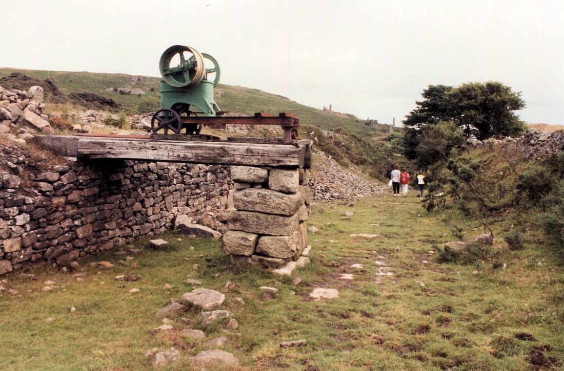
960601v A relic above the incline. This piece of machinery had no particular connection with the railway, apart from making use in the difference in levels provided by the cutting, with its stone retaining wall and the level of the prevailing land above. We are told that it was a stone crusher of Grizley. It was powered via a belt from a stationary diesel engine or power take off from a tractor. The landowner used to back a trailer under it and the stones that came from the nearby burrows were crushed and the reduced diameter stone was used for the lane to Gonamena and other tracks. The crusher has now gone, but the timber pier is still in place. Copyright Roger Winnen
For a 25" to the mile 1895 to 1902 zoomable map of this area courtesy National Library of Scotland click here
http://maps.nls.uk/geo/explore/#zoom=16&lat=50.5165&lon=-4.4510&layers=168&b=1
http://maps.nls.uk/geo/explore/#zoom=16&lat=50.5165&lon=-4.4510&layers=168&b=1
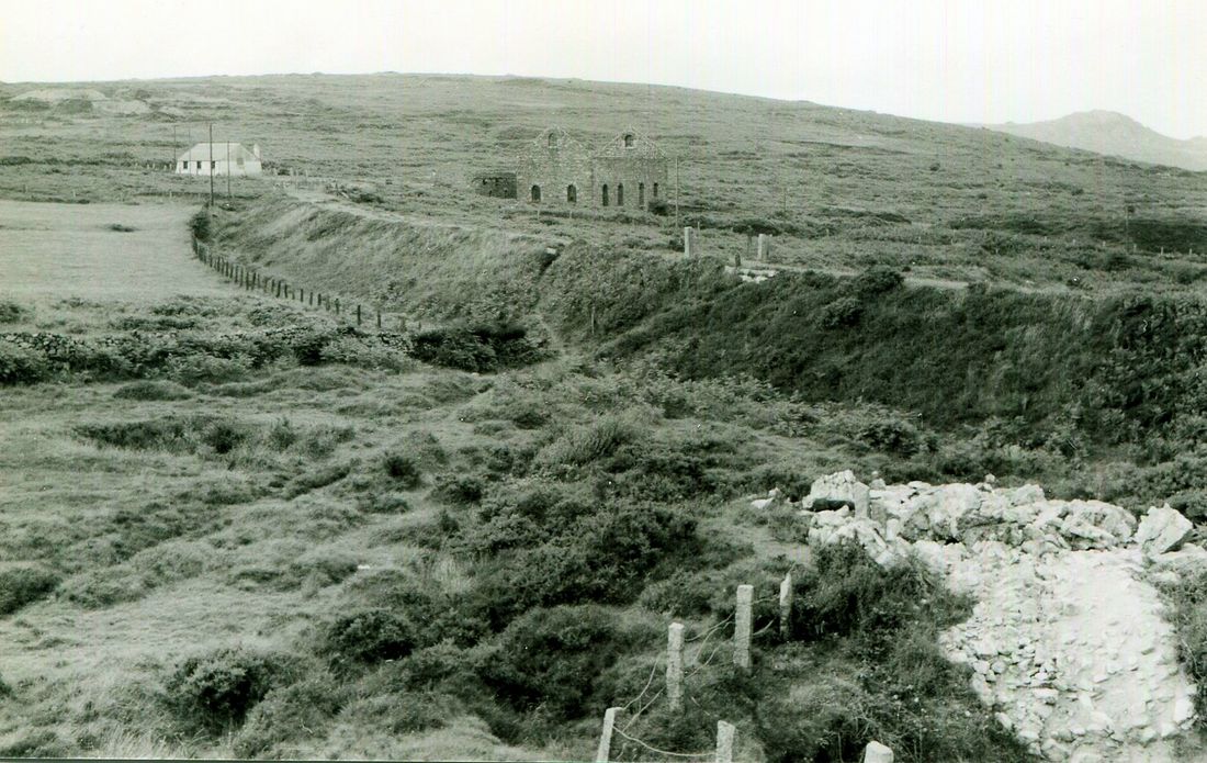
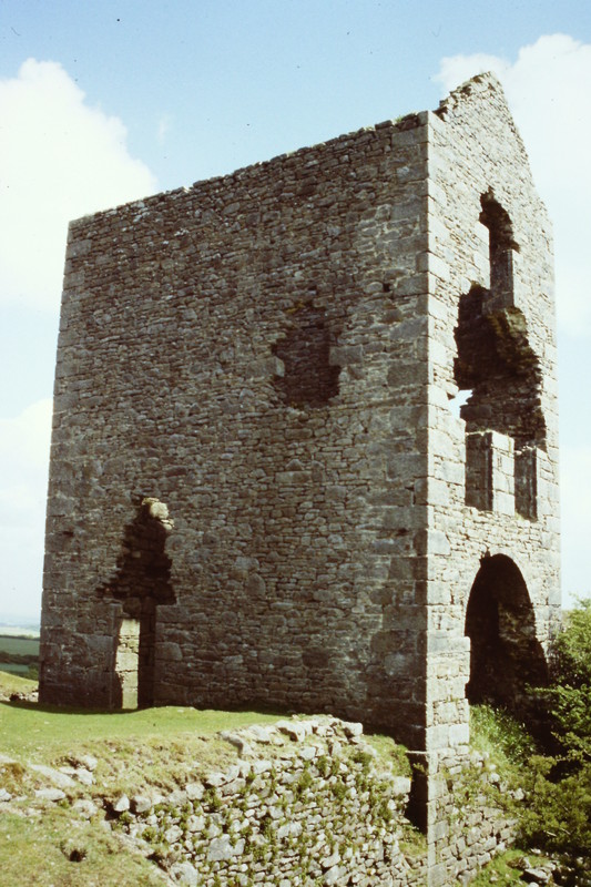
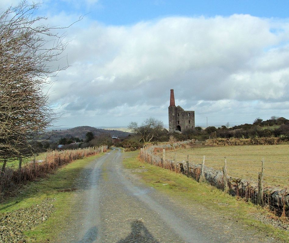
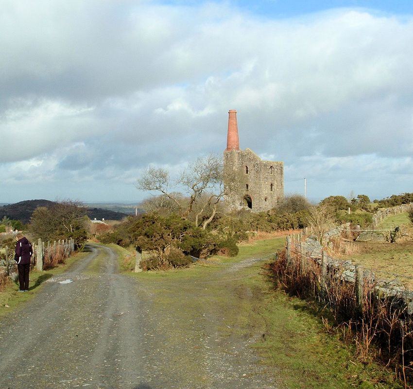
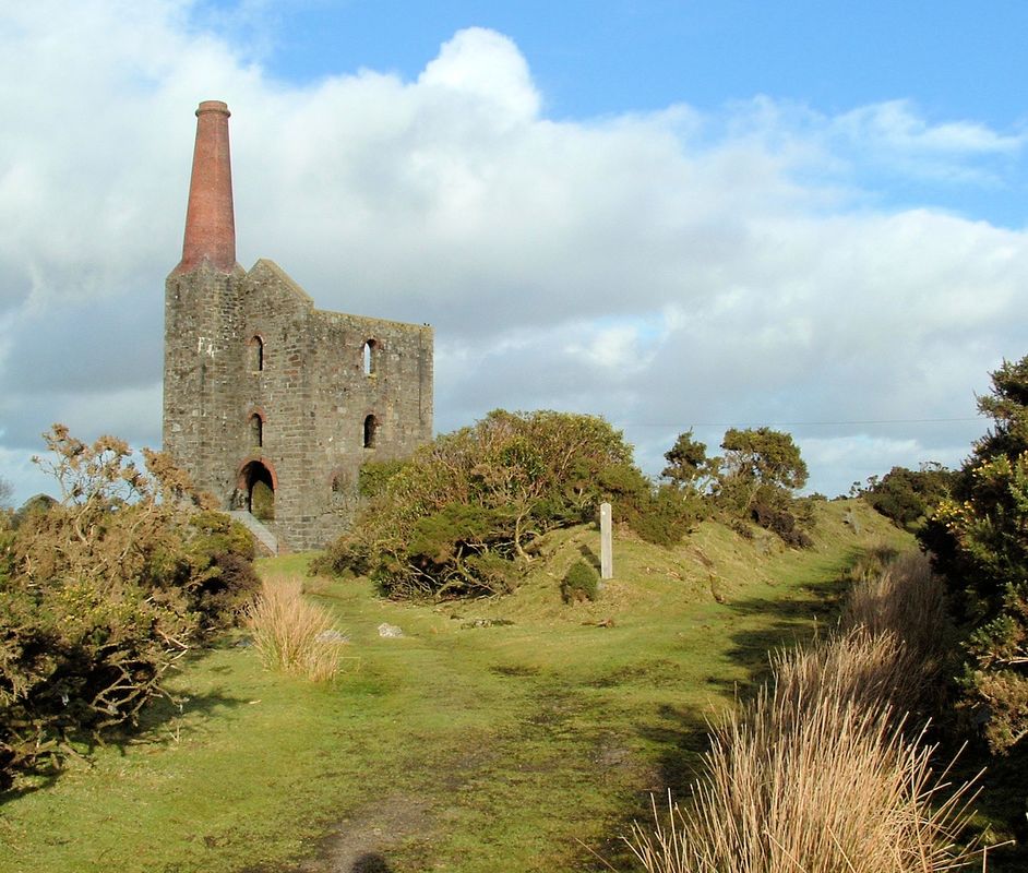
img320 This photograph is taken quite near to Wheal Jenkin mine looking back to Rillaton Bridge (although you can't see it) The most significant feature in this photograph is the large roofless industrial building in the right medium distance. This is the Electricity Generarting House built to supply power to South Phoenix Mine during its final working of 1907-1911: coal was supplied to it from railside storage bins a short distance from the junction with Phoenix Siding at Rillaton Bridge. The building was converted into a domestic bungalow in the 1960s but retains its footprint and some of its original external features. Alan Harris Collection
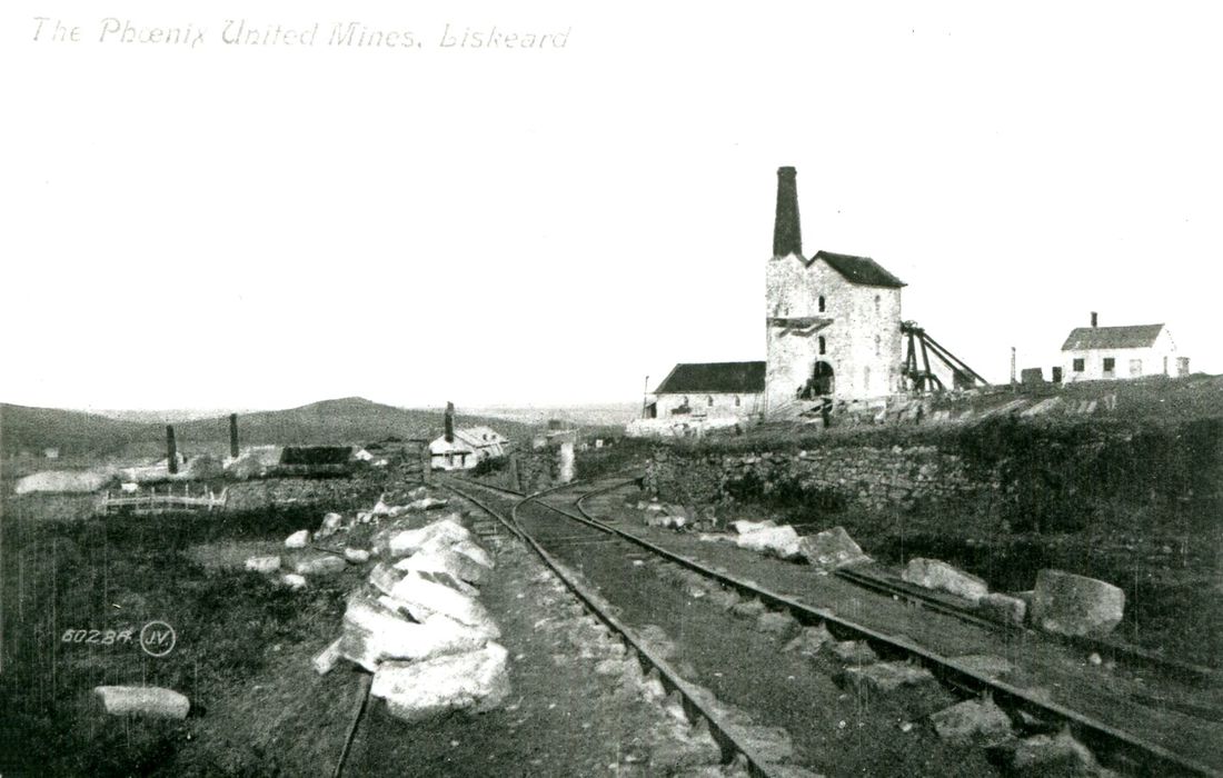
img319b- Phoenix United Mines Liskeard - a postcard from the Alan Harris Collection This was north of Minions and was productive from 1850 to 1884. The peak year being 1863, when 5698 tons of copper ore were produced. This mine employed 180 men, 80 women and Four Pumping Engines in 1854. It closed in 1898, was reopened in 1907, closed again on the outbreak of the First World War and thereafter there were only three trains per week north of Moorswater.
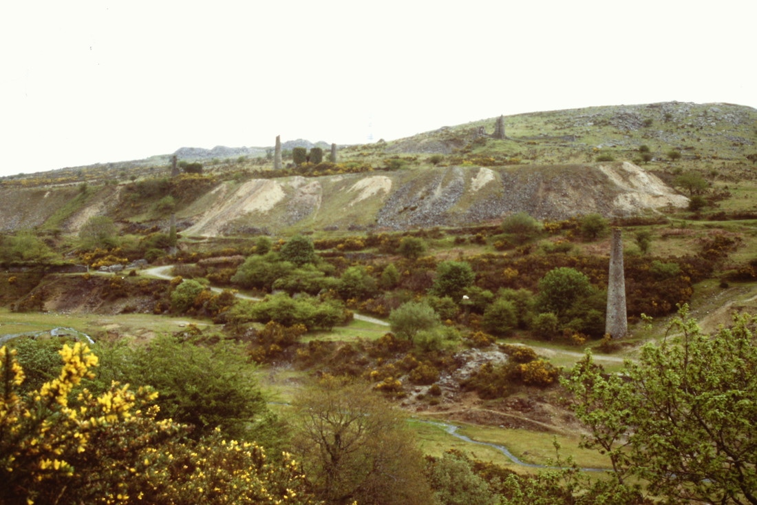
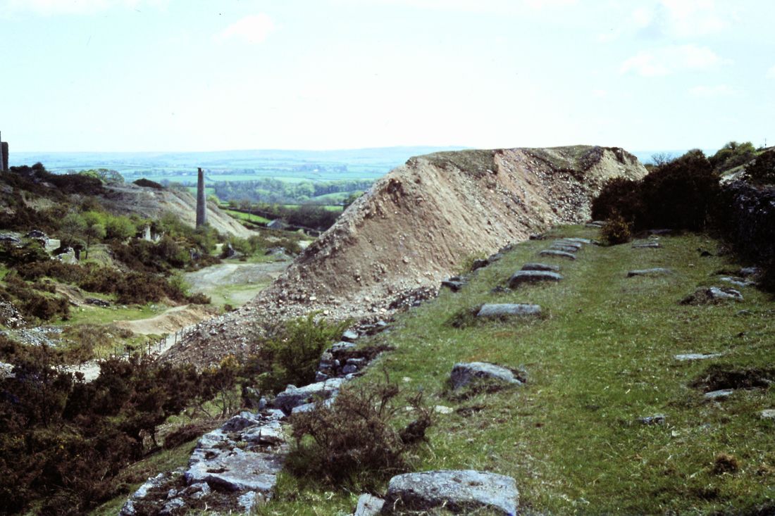
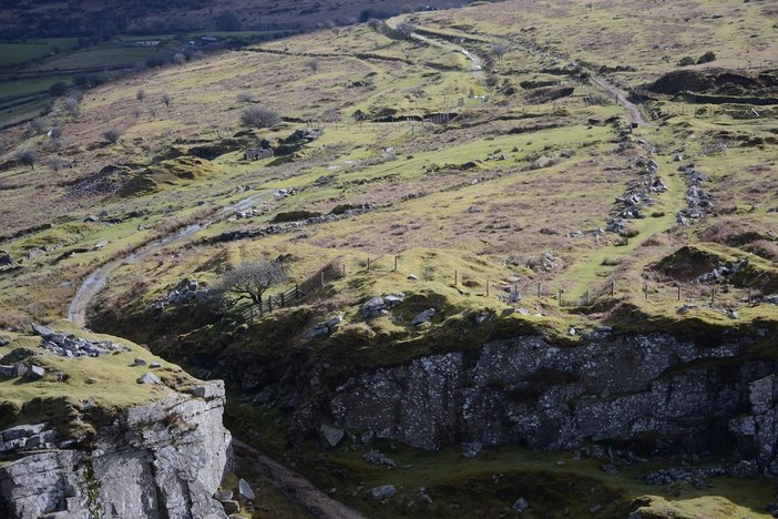
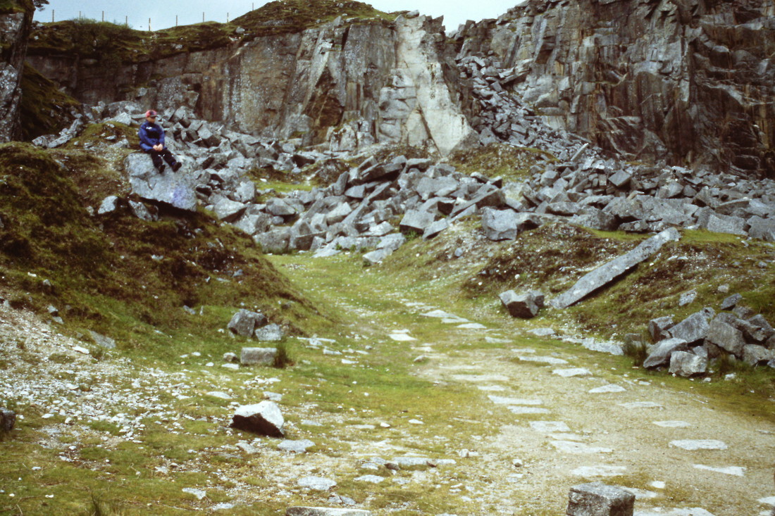
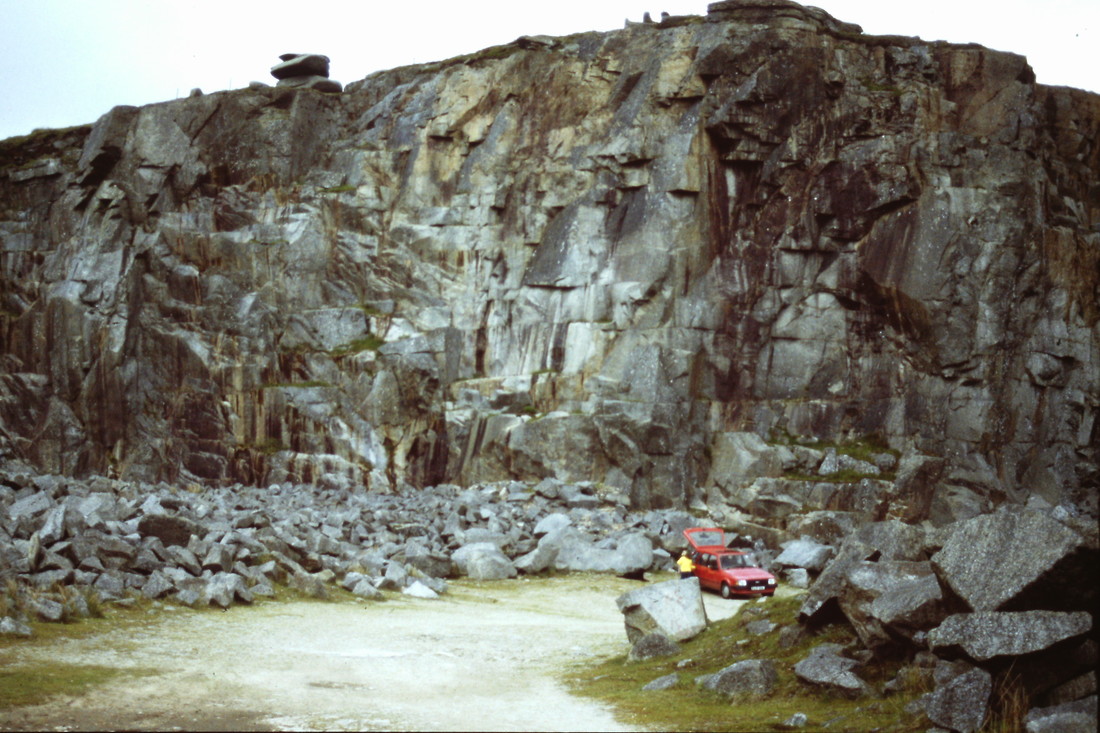
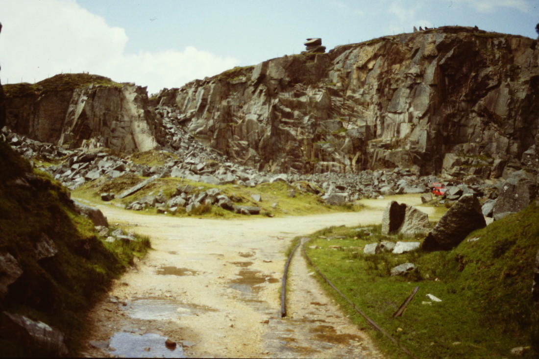
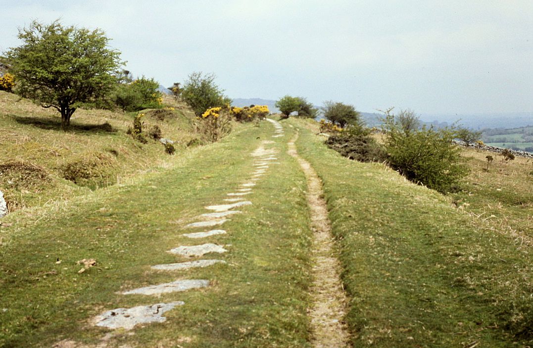
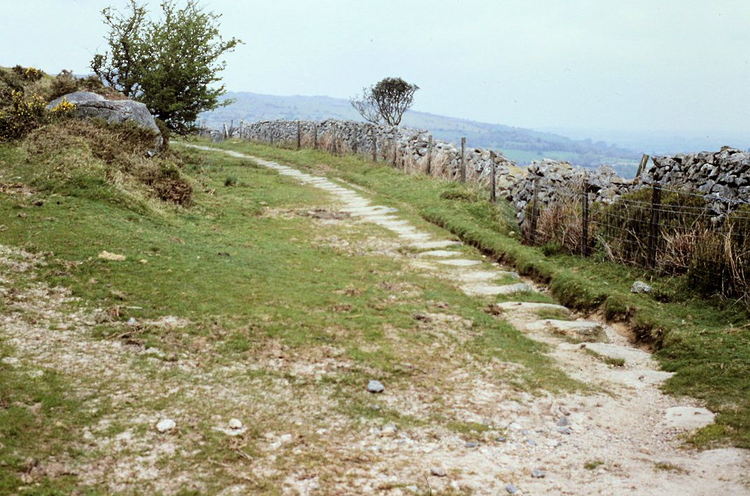
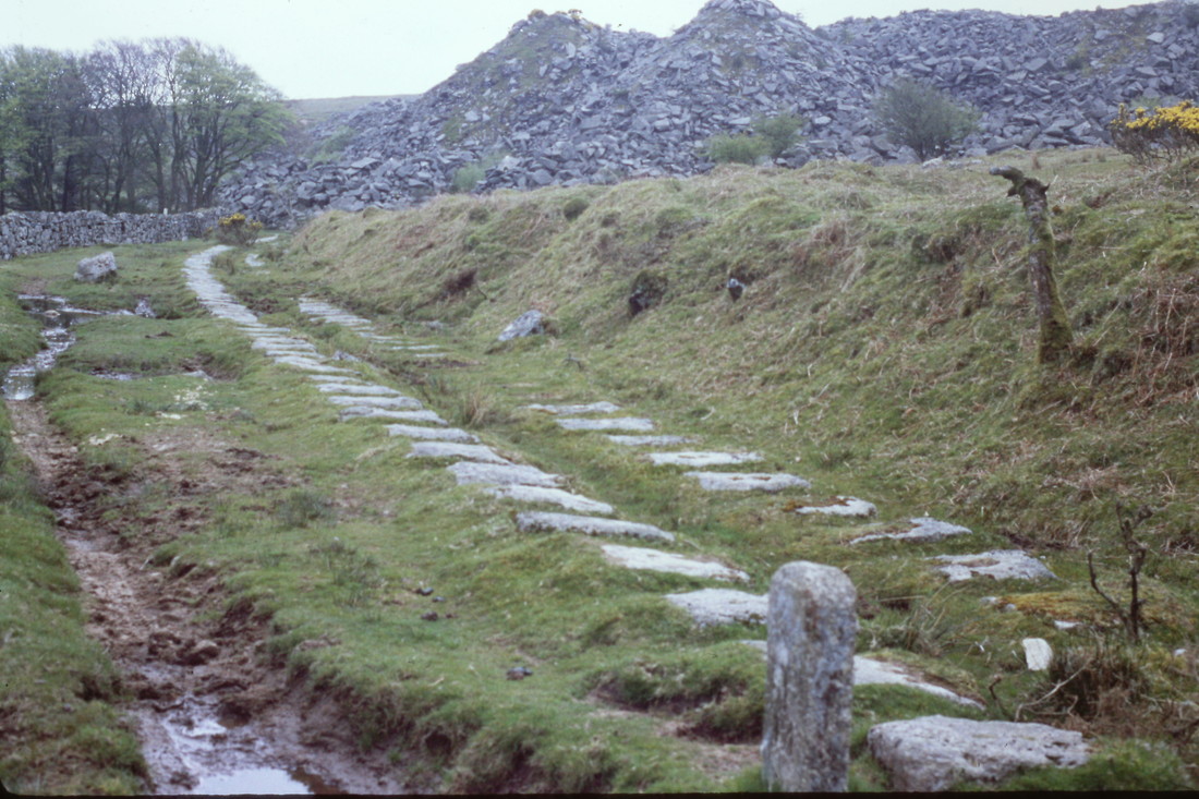
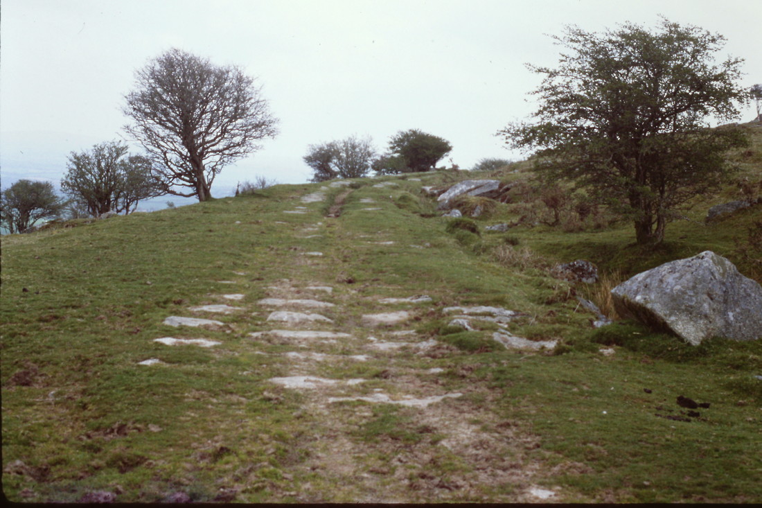
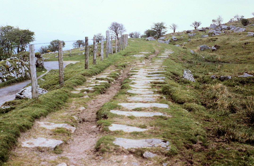
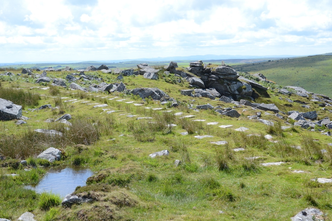
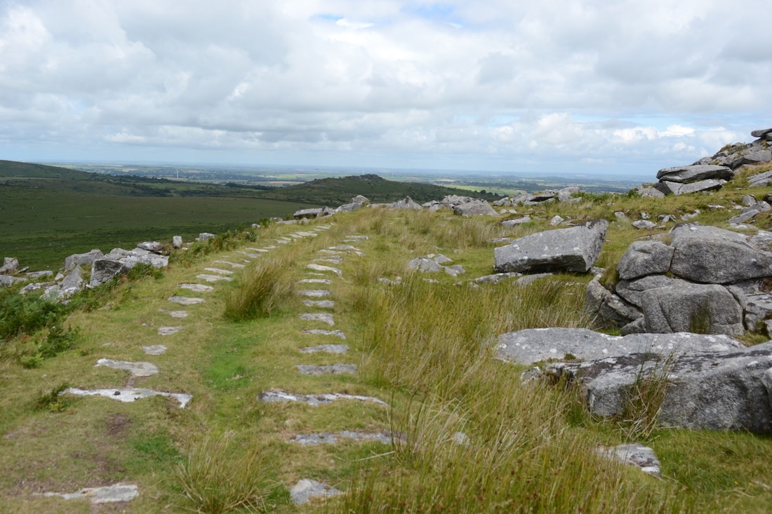
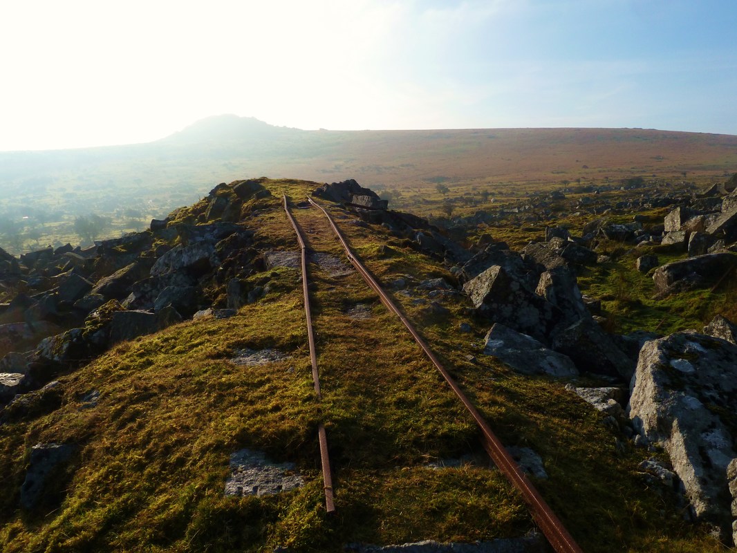
This picture is taken from the top of Cheesewring Granite Quarry looking back south towards Minions. There are three different arms of the railway in view in this picture. Starting from the quarry floor in the bottom centre, there is still a section of rail in place, after 100 years of disuse. It's just about visible in the photograph before the sinuous track snakes its way, first to the left and then to the top centre of the picture towards Minions. This is the 1871 branch line built to serve the expanding quarry. Part way along its course are the building remains of Stowes' Shaft, which was linked by a inclined tramway (difficult now to spot) which ran in a straight line to Pheonix United Mine, down in the valley to the left. This old mine shaft has opened up (top centre) and now severs the track bed.
Over to the right is the earlier 1844 alignment that has continued across the moor to the long established moorstone workings on the slopes of Stowes' Hill. This alignment was curtailed the quarry expanded and was superseded by the 1871 alignment. In the shadow at top right is a siding from this earlier railway, which led off in a cutting to further moorstone working on the south slope of Stowes Hill. And finally, over on the far left, at the edge of the sunlit moorland, is the Kilmar Railway of 1858 heading north.
Over to the right is the earlier 1844 alignment that has continued across the moor to the long established moorstone workings on the slopes of Stowes' Hill. This alignment was curtailed the quarry expanded and was superseded by the 1871 alignment. In the shadow at top right is a siding from this earlier railway, which led off in a cutting to further moorstone working on the south slope of Stowes Hill. And finally, over on the far left, at the edge of the sunlit moorland, is the Kilmar Railway of 1858 heading north.
For a 25" to the mile zoomable map of this area courtesy of National Library of Scotland click here
http://maps.nls.uk/geo/explore/#zoom=15&lat=50.5277&lon=-4.4515&layers=168&b=1
http://maps.nls.uk/geo/explore/#zoom=15&lat=50.5277&lon=-4.4515&layers=168&b=1
For a 25" to the mile map 1895 / 1902 Courtesy National Library of Scotland click below. Note some of railway is already disused. http://maps.nls.uk/geo/explore/#zoom=16&lat=50.5475&lon=-4.4679&layers=168&b=1
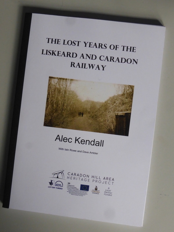
A picture of Alec Kendall's book The Lost Years of the Liskeard and Caradon Railway. This 148 page book was produced for the Caradon Heritage Project (now wound-up) and covers the period of Great Western Railway ownership of the line from 1909 until the formal act of abandonment in 1931. The book is the result of three years' exhaustive research into the twilight years of this railway, when hard facts were hard to come by. What happened at the closure in January 1917 and what became of the track and equipment? Alec Kendall has delved into contemporary accounts of the Great Western Railway and photographs and other documents from a variety of sources to come up with a very readable account of this shadowy period after the line's boom years. This well illustrated book was published in 2013 for £12.
There is currently one copy of this publication still available, at a bargain price of £9 posted to CRS members. If you'd like it, please contact us via [email protected]
There is currently one copy of this publication still available, at a bargain price of £9 posted to CRS members. If you'd like it, please contact us via [email protected]
