Features October to December 2023.
Item 2326
Plymouth and Dartmoor Railway
Celebrates 200 years
26th September 1823 to 26th September 2023
By Edward Hooper
Celebrates 200 years
26th September 1823 to 26th September 2023
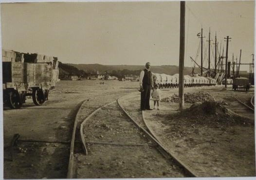
By Edward Hooper
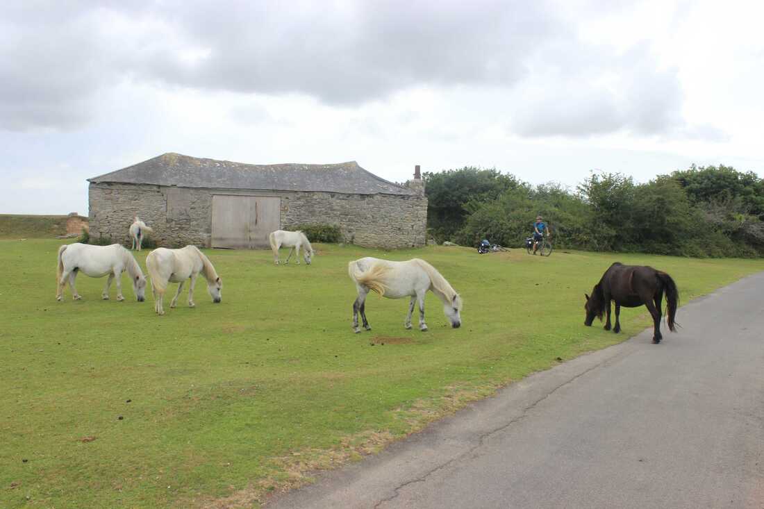
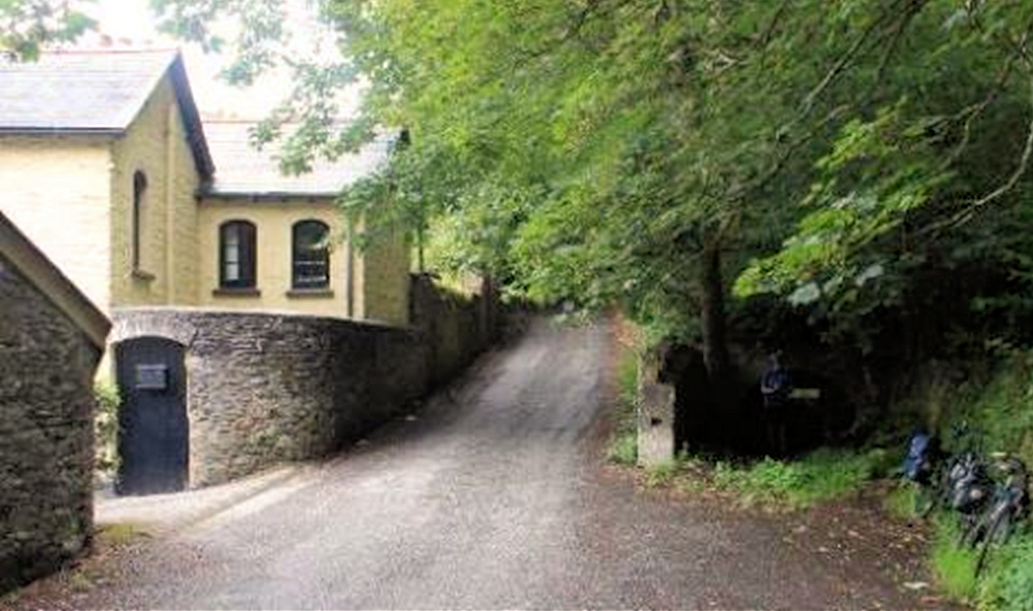
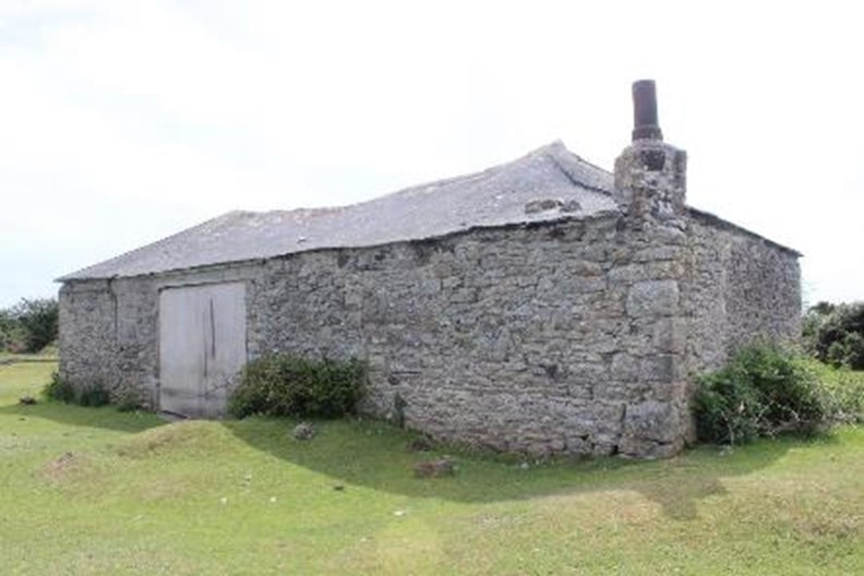
Dartmoor ponies pay reverence to their forebears at Tyrwhitt’s Wharf, which was the stables located roughly halfway along the line. On the opening day, 26th September 1823, a public breakfast was laid on by Sir Thomas Tyrwhitt for about a thousand people. According to the press, “three marquees were erected and every elegant species of viand provided for the reception and gratification of the company.” Unfortunately about midday the rain came in and dispersed most of the crowd. Copyright Ed Hooper
Introduction
My brother, Tim, and I decided to spend a weekend tracing the route of this lesser known but historically significant tramway from the hustle bustle of Sutton Harbour in Plymouth to the moorland outpost of Princetown.
Anyone who witnessed this interesting railway in operation has long since departed. By 1878 the upper sections of the trackbed had been commandeered by the GWR for the Princetown Branch. In 1916 most of the remainder of the route had been taken up. Few photographs survive of the track, devoid of traffic. The railway carried no locomotives throughout its life and passengers were only carried unofficially.
A good number of photographs featuring horses towing china clay wagons are from the later Lee Moor Tramway and give some idea of what the set up on the P&D may have looked like.
Having traced a fair portion of the route, one can only marvel at the horses and the people who worked this line, especially on the open moorland sections in the typical weather conditions which prevail on Dartmoor.
I have endeavoured to be as accurate as possible with dates and locations, but if I have made any inadvertent errors then please accept my apologies and I have no doubt that some of your more astute readers will set me straight.
Very Brief History
A good source of information is found on Wikipedia.
https://en.wikipedia.org/wiki/Plymouth_and_Dartmoor_Railway
The Plymouth and Dartmoor Railway was the brainchild of Sir Thomas Tyrwhitt, an MP for Okehampton and an influential and Philanthropic landowner who tried to cultivate and populate the wilderness of Dartmoor. He built Princetown, named after the Prince of Wales, along with the prison which initially housed French Napoleonic prisoners of war.
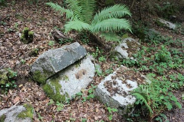
His aim was to import the materials required to help reclaim the land, such as lime, sea sand, coal and timber, and export the produce of the granite quarries and the farms.
The Plymouth and Dartmoor line was ultimately 25 miles, 2 quarters and 6 chains, covering a distance of 13 miles as the crow flies.
The initial line opened on 26th September 1823 and ran from Foggintor Quarries to a wharf at Crabtree. It involved a pre-planned deviation and a very early railway tunnel to lessen the gradients for horses.
The P&D railway had a number of extensions and smaller branches which were added over the next few years, the exact details and complexities of which are not explored here, but they included:
The cycling route
Travelling on bicycles we were both very pleased to find good evidence of the route in places; we also enjoyed cycling on the course of the GWR Princetown railway which was built on a lot of the upper section of the route above Yelverton.
We started at Sutton Harbour and tried to follow as closely as possible the main P&D Route up to Princetown. This was not going to be entirely straightforward with some of the sections being obliterated by roads and other sections in private ownership. The next day we explored the Foggintor quarries and tramway and then cycled down the road to Tavistock. From here we headed back via the GWR Plym Valley Line.
Introduction
My brother, Tim, and I decided to spend a weekend tracing the route of this lesser known but historically significant tramway from the hustle bustle of Sutton Harbour in Plymouth to the moorland outpost of Princetown.
Anyone who witnessed this interesting railway in operation has long since departed. By 1878 the upper sections of the trackbed had been commandeered by the GWR for the Princetown Branch. In 1916 most of the remainder of the route had been taken up. Few photographs survive of the track, devoid of traffic. The railway carried no locomotives throughout its life and passengers were only carried unofficially.
A good number of photographs featuring horses towing china clay wagons are from the later Lee Moor Tramway and give some idea of what the set up on the P&D may have looked like.
Having traced a fair portion of the route, one can only marvel at the horses and the people who worked this line, especially on the open moorland sections in the typical weather conditions which prevail on Dartmoor.
I have endeavoured to be as accurate as possible with dates and locations, but if I have made any inadvertent errors then please accept my apologies and I have no doubt that some of your more astute readers will set me straight.
Very Brief History
A good source of information is found on Wikipedia.
https://en.wikipedia.org/wiki/Plymouth_and_Dartmoor_Railway
The Plymouth and Dartmoor Railway was the brainchild of Sir Thomas Tyrwhitt, an MP for Okehampton and an influential and Philanthropic landowner who tried to cultivate and populate the wilderness of Dartmoor. He built Princetown, named after the Prince of Wales, along with the prison which initially housed French Napoleonic prisoners of war.
His aim was to import the materials required to help reclaim the land, such as lime, sea sand, coal and timber, and export the produce of the granite quarries and the farms.
The Plymouth and Dartmoor line was ultimately 25 miles, 2 quarters and 6 chains, covering a distance of 13 miles as the crow flies.
The initial line opened on 26th September 1823 and ran from Foggintor Quarries to a wharf at Crabtree. It involved a pre-planned deviation and a very early railway tunnel to lessen the gradients for horses.
The P&D railway had a number of extensions and smaller branches which were added over the next few years, the exact details and complexities of which are not explored here, but they included:
- The extension to Sutton Pool
- The extension to Princetown
- The extension to Marsh Mills
- The extension to Cann Quarry alongside the canal
- The extension to Plympton
The cycling route
Travelling on bicycles we were both very pleased to find good evidence of the route in places; we also enjoyed cycling on the course of the GWR Princetown railway which was built on a lot of the upper section of the route above Yelverton.
We started at Sutton Harbour and tried to follow as closely as possible the main P&D Route up to Princetown. This was not going to be entirely straightforward with some of the sections being obliterated by roads and other sections in private ownership. The next day we explored the Foggintor quarries and tramway and then cycled down the road to Tavistock. From here we headed back via the GWR Plym Valley Line.
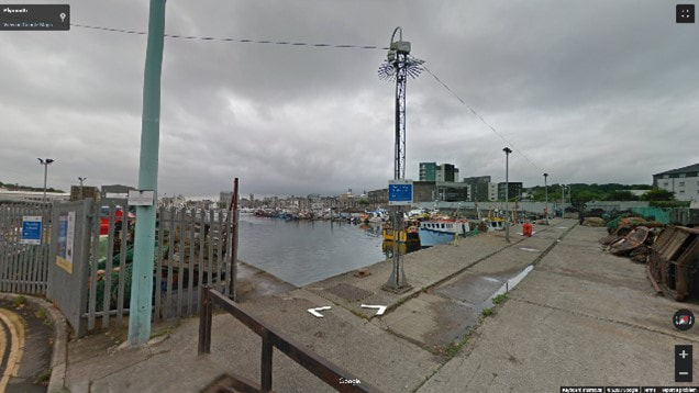
Image 1: Sutton Harbour, looking northwest. The area in the foreground was where Coxside Creek was reclaimed from the harbour. There probably would have been stabling facilities for the horses near this location or at Martin’s Wharf. Courtesy of Google Maps
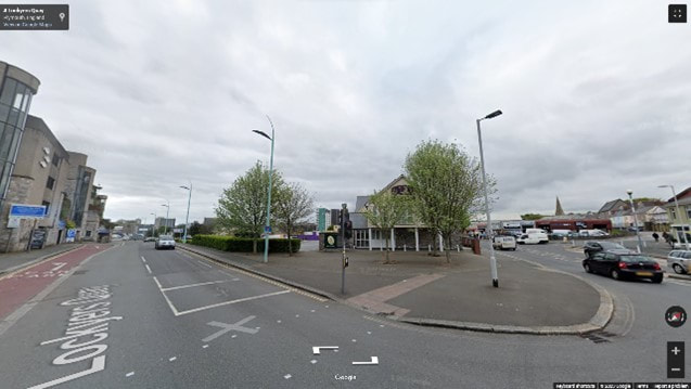
Johnson's Quay, established around 1825, was located along the north side of Cox’s Creek. The Johnson brothers owned the granite quarries on Dartmoor and operated the Plymouth and Dartmoor Railway to bring the stone down to the harbour for transhipment.
Lockyer's Quay, established around 1833, ran alongside the south side of Cox’s Creek. Edmund Lockyer was a director of the Plymouth & Dartmoor Railway Company and was involved in many other local ventures.
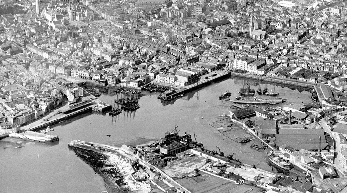
Image 2 Sutton Harbour aerial view, showing ships being broken up. Sutton harbour Railway Station in the bottom righthand corner of the view adjacent to Johnson’s Quay. Date of photograph unknown but there are steam ships and various other clues, so maybe 1930s. Courtesy of the SHIPS project. https://www.shipsproject.org/Wrecks/Wk_Sutton.html
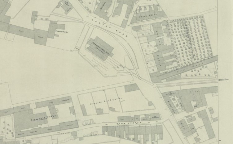
Image 3 Plymouth, Devonport and City, OS Sheet 83, published 1855. The South Devon Railway had arrived in 1853, providing a goods station at Sutton harbour. This detailed map shows Brunel’s 7’ ¼” Broad-gauge and the Plymouth and Dartmoor’s 4’6” “Dartmoor-gauge” co-existing on mixed gauge. One gauge ultimately designed for speed and comfort, the other possibly not. A multi-gauge turntable is also seen, sited outside the Thistle Park Tavern (which survives as the Thistle Park Brewhouse). Mixed gauge was retained until 1857 and the 4’6” line was removed in 1869 when locomotive haulage was introduced. Copyright National Library of Scotland. https://maps.nls.uk/index.html
Image 4 Just beyond the original extent of Coxside Creek, now filled in and occupied by a Premier Inn. Lockyers Quay (as written on the road) ran to the west; Johnson Quay ran Northwest. Courtesy of Google Maps
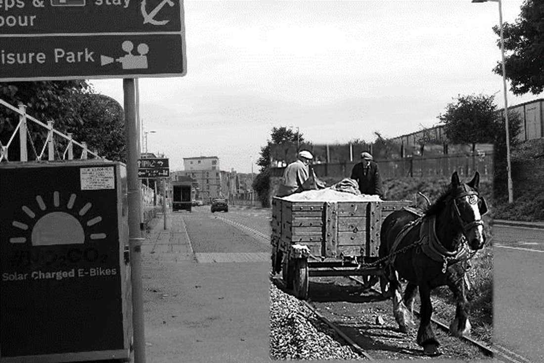
Image 5 Barbican Way looking west. I felt the need to enhance this modern view. The horse has a spring in its step, having just been subject to a solar-powered E-charge. Courtesy of Google Maps, enhanced by Ed Hooper.
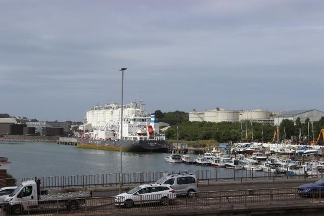
Image 6 Site of Martins Wharf, on the western bank of the River Plym, looking south from Laira railway bridge. Martin’s wharf was on a branch of the P&DR and became an offloading point for stone in 1826. It’s full tidal access was preferable to the original offloading point at Crabtree which was only accessible at high tides. Copyright Ed Hooper
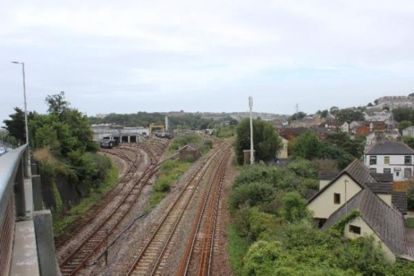
Image 7 The P&D (later the Lee Moor Tramway) crossed the main line here. The P&D was extended from Crabtree to Sutton Pool in 1825 long before the South Devon Company reached Laira in 1848. Laira shed is in the background. Copyright Ed Hooper
In part 2 we explore the area around Crabtree leading up to the south portal of Leigham Tunnel.
Image 8 Before we depart Plymouth this is an interesting view of “Laira Wharf” (understood to be Martin’s Wharf), taken 01 September 1929, long after the P&DR ceased to carry stone from the moors in the 1880s. Granite setts are however visible and therefore likely to be survivors of the P&DR.. G.N. Southerden.
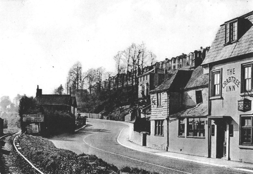
Image 9 The Crabtree Inn, at Lower Crabtree, with the Lee Moor Tramway on the left. It is hard to imagine that the above twisty road constituted the main thoroughfare to London; it has now been obliterated by a six-lane Plymouth Road A374. Taken from “Old Plymouth Uncovered” Facebook page but also printed in “Plymouth River: A History of the Laira and Cattewater”, Crispin Gill, 1997.
Image 10 The aerial photo above is of the area around the River Plym, Crabtree and Marsh Mills, taken by the RAF on 27 Feb 1946. The Crabtree Inn is at the bottom of the page. The P&DR is shown diverging from the main line at this point. The Cann canal branch follows the main road and its bridge over the River Plym at Weighbridge Cottage is centre left. Harder to trace is the course of the Plym Valley Branch. This ran along the north side of Plymouth road. A copse of trees (left side of image, ¾ of the way up) marks Farm Quarry, which was connected to the branch. The site of the wharf at Crabtree can be seen, the creek made more inaccessible as the South Devon Railway crossed it over a narrow bridge. Historic England Aerial Photo - RAF_106G_UK_1190_RS_4183
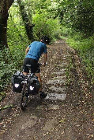
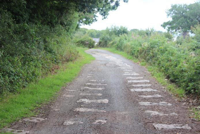
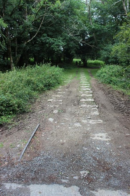
Image 11 At last, the Forder Valley and the start of the ride proper! After nearly three miles the elevation of the track is still only about 18ft above sea level and the gentle gradient begins. Immediately a line of granite setts of all shapes appears. Ed Hooper
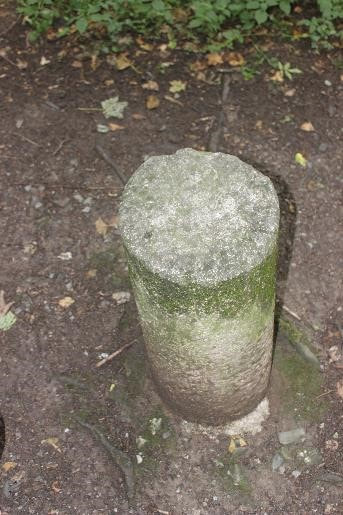
Image 12 A short way up the Forder Valley Milestone 3 appears. The milestones are unusual in that they appear as granite cylinders with an engraved mile number on the top - equine braille maybe? There are about nine surviving milestones along the route, some of which lie on private land. We discovered the easiest three on this ride.
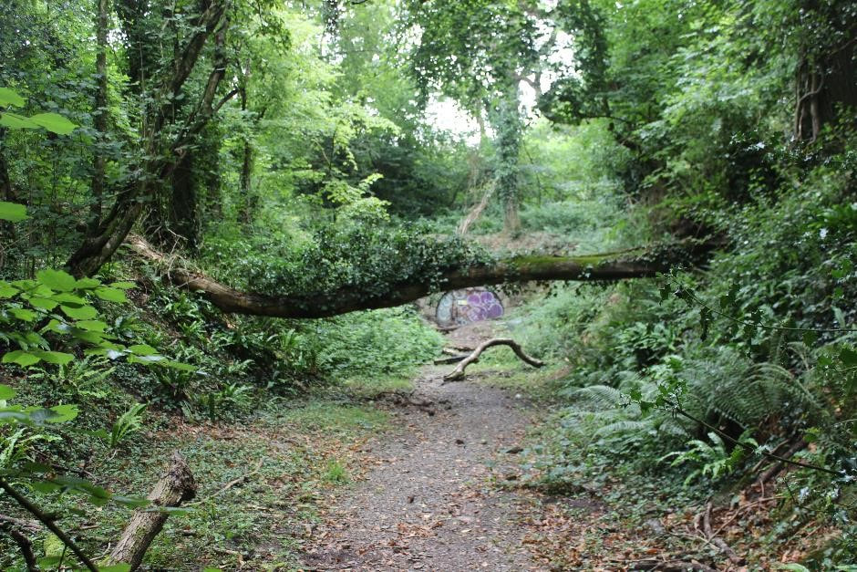
The section through the Forder Valley then forms a deepening cutting leading up to Leigham Tunnel (sometimes referred to locally as Cann tunnel…) Ed Hooper
The section through the Forder Valley then forms a deepening cutting leading up to Leigham Tunnel (sometimes referred to locally as Cann tunnel…) Ed Hooper
Image 13 The approach to Leigham Tunnel. The original route conceived was due to head further northwest from here but it was judged that the gradient was too severe for the horses. A diversion with a significant tunnel was therefore conceived and a new act of parliament arranged. This was an incredibly costly undertaking and had long term consequences for the railway’s finances. Ed Hooper
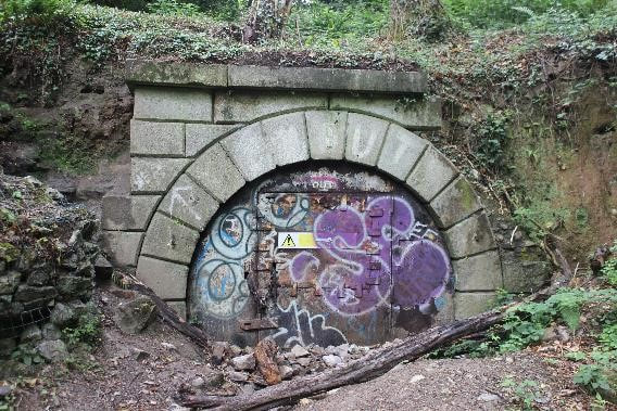
Image 14 Leigham Tunnel – south portal of what was far the most significant engineering feat on the line. Significantly this was one of the first railway tunnels in the country. The tunnel was 9’6” high and 8’6” wide and 620 yards in length, straight and unlined. Sadly some of the facing stones of the south portal are now missing. The tunnel has three air shafts, one of which is traceable on the surface near the main Forder Valley Link Road. Both portals are welded closed but various urban explorers have posted photos and videos of the inside. Ed Hooper
Part 3 – Leigham Tunnel and Plymbridge Woods
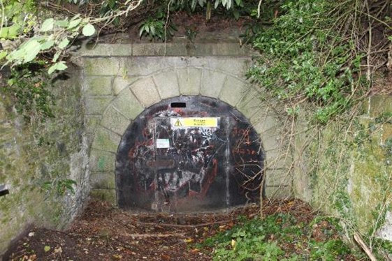
Image 15 Leigham Tunnel – north portal – with coping stones intact. So what became of the tunnel after the workings on the P&DR has ceased? According to Paul Burkhalter’s ace book “Plymouth’s Hidden Railways” (Twelveheads, 2017), it was taken over by Plymouth Corporation for conversion to an air raid shelter. After the threat of air raids had passed the Admiralty used it to store munitions and depth charges. To assist with this, a narrow gauge tramway (possibly 2ft) was installed from the north portal. The small bore of the tunnel precludes its possible future use as a cycle track. Copyright Ed Hooper
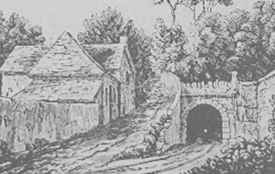
Image 16 Tunnel House on Plymbridge Road which was an estate house or lodge for the now demolished Leigham Manor. Copyright Ed Hooper. Comparison with engraving “Tunnel of the Dartmoor Railway” from the South Devon Monthly Museum (March 1836) and which forms cover of H.G. Kendall’s seminal book on the P&DR, published 1968. Note the small light at the end of the tunnel.
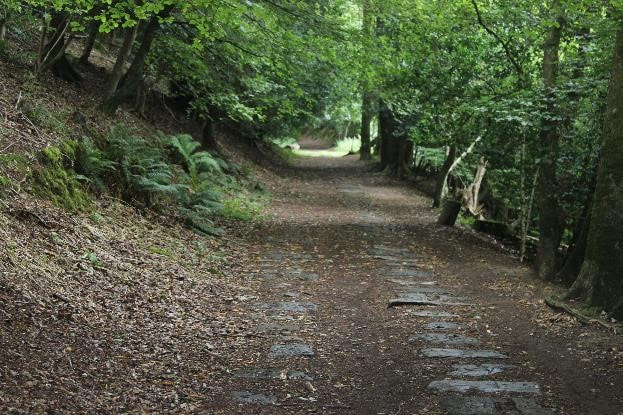
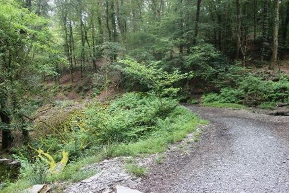
The railway then enters the woods on the west side of the River Plym. It carries out a series of increasingly tighter meanders around a number of valleys, each with an embankment as it crosses a stream. This is a particularly beautiful section of the line and contains many sections of well-preserved granite setts. The trackbed is generally in fine condition and has suffered little subsidence over the years. It is not marked as a public right of way but it is well used by locals.
The railway then enters the woods on the west side of the River Plym. It carries out a series of increasingly tighter meanders around a number of valleys, each with an embankment as it crosses a stream. This is a particularly beautiful section of the line and contains many sections of well-preserved granite setts. The trackbed is generally in fine condition and has suffered little subsidence over the years. It is not marked as a public right of way but it is well used by locals.
Image 17 The sylvan tranquillity of the Plymouth and Dartmoor Railway
as it climbs imperceptibly through the woods above the River Plym. Copyright Ed Hooper
as it climbs imperceptibly through the woods above the River Plym. Copyright Ed Hooper
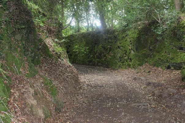
Image 18 A deep and sharply curved cutting in Mainstone wood near milepost 4. This is the only such example of a cutting on this section of the line. Copyright Ed Hooper
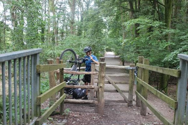
Image 19 Tim negotiates a kissing gate as the line crosses Plymbridge Lane with an overbridge, the original footings of which are still visible. The view is looking back towards Plymouth. Copyright Ed Hooper
Image 20 Discarded granite setts with remains of rusty pins which were used to attach the chairs. The blocks were laid at approximately 3-foot 6” intervals (to match the length of rails) which means that the line must have used around 80,000 over the course of the line, plus those for branches, sidings and passing loops. Whilst some are still in situ many others must have been re-used as building materials or reside in people’s gardens. Copyright Ed Hooper
Shortly afterwards some small quarries are passed. These are the upper reaches of Rumple Quarry. Here the P&DR passes just a quarter of a mile from the Earl of Morley’s blue slatestone Cann quarry, but by now 150ft above it. It was decided to build an extension (the Cann Quarry branch) to reach these quarries rather than to build an inclined plane up to the main P&DR.
Shortly afterwards some small quarries are passed. These are the upper reaches of Rumple Quarry. Here the P&DR passes just a quarter of a mile from the Earl of Morley’s blue slatestone Cann quarry, but by now 150ft above it. It was decided to build an extension (the Cann Quarry branch) to reach these quarries rather than to build an inclined plane up to the main P&DR.
Image 21 One of the sharp horseshoe turns in Colwell Wood just past the site of milepost 5. The trackbed is raised here on an embankment. Copyright Ed Hooper
A short distance from this point the track is barricaded and Riverford cottages are reached. It was therefore necessary to divert up into Estover Estate, involving quite a climb.
A number of properties are built near or on the trackbed for the next mile or so around Common Wood. These include the Glenholt Residential park. We made a decision to re-join the trackbed via a small footpath off Holtwood Road and we picked up where we left off.
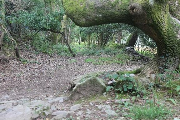
Image 22 A rather amazing tree, which looks to be of a similar age to the railway, snakes over the trackbed. This section leads up to Milestone 8 and then meets a gate abruptly at Dark Lake Farm. It was time to turn round and head back up into Glenholt. Copyright Ed Hooper
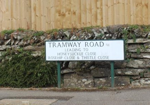
Image 23 As we leave Darklake Woods we reach the site of a new housing estate; thankfully the trackbed has been respected. A signpost gives some clue as to what was once here. Copyright Ed Hooper
Plymouth and Dartmoor Railway Part 4 – Roborough to Clearbrook
After leaving Darklake Farm and the woods above the River Plym the trackbed crosses through an area of arable land, following farm tracks and hedgerows.
After leaving Darklake Farm and the woods above the River Plym the trackbed crosses through an area of arable land, following farm tracks and hedgerows.
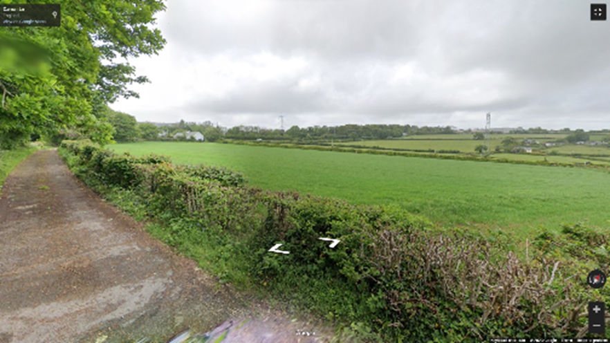
Image 24 The trackbed crosses Carron Lane westwards and passes down a private drive. It emerges at Roborough Recreation Hall then tracks north along the A386 to Yelverton for a couple of hundred yards. Photograph courtesy of Google Maps
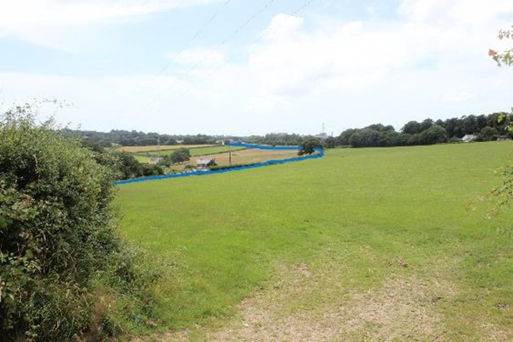
Image 25 Looking SW past Leigh Farm back to Roborough Recreation Hall. I have marked the course of the tramway. Milestone 10 is located just this side of the tree in the middle of the photo on private land. Copyright Ed Hooper
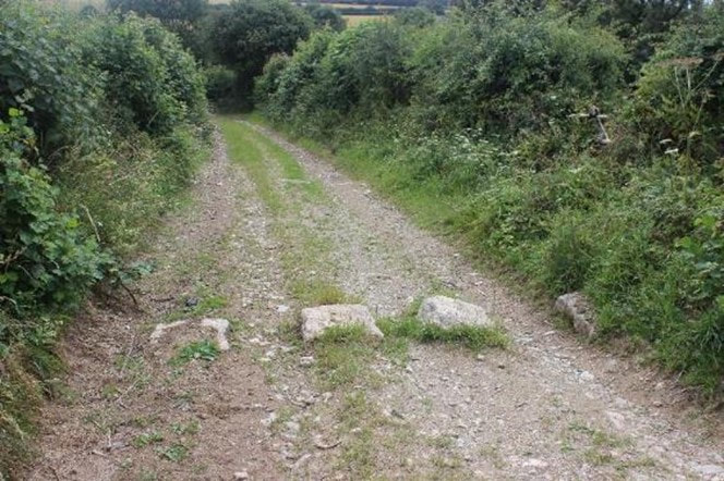
Image 26 - A line of granite setts pinpoints the location of the track bed as it crosses the lane at right angles above Higher leigh Farm, taken just south of the photo above. Copyright Ed Hooper
Shortly after crossing Little Down Lane at the site of Frogmere Cottage the landscape changes again and the P&DR finally emerges onto open common land where it makes its rendezvous with firstly Plymouth Leat and then Devonport Leat. Noticeable on old maps are some smaller quarries adjacent to the line.
Shortly after crossing Little Down Lane at the site of Frogmere Cottage the landscape changes again and the P&DR finally emerges onto open common land where it makes its rendezvous with firstly Plymouth Leat and then Devonport Leat. Noticeable on old maps are some smaller quarries adjacent to the line.
Image 27. Tracing the route on the open section at Clearbrook is harder than it looks. Our position was eventually assured by the presence of more granite setts. Having emerged from the woods the views begin to open up and Dartmoor is sighted some distance away. Copyright Ed Hooper
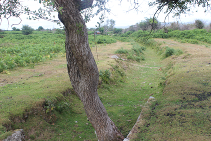
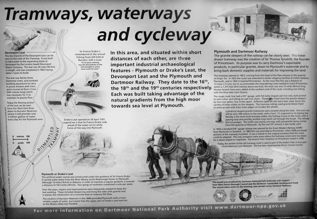
Image 28. Plymouth Leat (Drake’s Leat), completed in 1591 and whose aim was to supply water for naval and merchant shipping, to provide water for firefighting in Plymouth, to scour Sutton Harbour of silt and to improve the quality of the land adjacent to the leat. This is a particularly well-preserved section of the leat, having become disused around the time that Burrator reservoir was built in 1891. The P&DR is to the right of the leat and crosses it shortly ahead (by the car in the distance). Copyright Ed Hooper
Image 29. Tyrwhitt’s Wharf, located near the halfway point at Clearbrook. Copyright Ed Hooper.
The building was afforded Listed status in 2021 “as a significant early example of a horse tramway building, which is very rare nationally; it reflects the importance of a staging point for horses on the gruelling trips across Dartmoor, at this former wharf which is located within an exceptional historic landscape setting”. It adds that it, “as a well-constructed Dartmoor granite building which, although primarily functional, is of good quality and reflects the function it once performed; features specific to its use, such as the tall entrances at either end, are still legible, albeit sealed in matching granite rubble, and some iron nails and niches in the walls indicate the use for horses as part of the former tramway”
For more information the link to the Historic England entry is here: https://historicengland.org.uk/listing/the-list/list-entry/1477178?section=official-list-entry
After a bite to eat we carried on, past Milepost 12, alongside good traces of the line as it runs between the dry Plymouth and Devonport leats.
Image 30 At last…some acknowledgement of the route, the only such sign on the route, located between Milestones 12 and 13.
Plymouth and Dartmoor Railway – Part 5
Clearbrook to Yennadon
Clearbrook to Yennadon
Image 31 A passing loop near Clearbrook. The specification for the railway was to provide two such passing loops per mile but it would seem unlikely that so many were actually built. Presumably they served as useful sidings for storing loose wagons. Copyright Ed Hooper
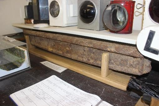
Image 32 The sole surviving iron rail on the line, located near milestone 13 between Clearbrook and Yelverton. It appears neither of the original 2’10” butt-ended type nor the later 3’10” lap-jointed variety. Copyright Ed Hooper
Image 33 A brief interlude now to talk about the rails. The above parabolic edge “fishbelly” rail is on display at the Plym Valley railway, an intact survivor from the Cann Quarry branch of the P&D Railway. The original rails on the P&D railway were 2’ 10” length and butt-ended in construction. These rails were later replaced; the above rail from the Cann Quarry Branch is a later lap-jointed rail, the length of these rails being longer at 3’10”. Copyright Ed Hooper
Not all of the rails on the P&DR were of iron; some of them were of granite which were used on sidings, such as that on Yelverton common (no traces found) as well as some of the quarry sidings on the moors. These resemble the granite “rails” to be found on the Haytor Granite Tramway, which opened just shortly before the P&DR in 1820.
Soon afterwards the P&D railway then becomes difficult to trace. It soon crosses the A386 Yelverton Road and the track bed is then obliterated by the the former RAF Harrowbear.
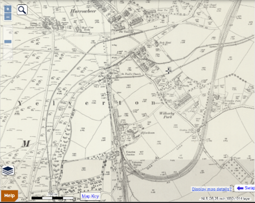
Image 34A 1886 OS 25” to the mile (surveyed 1884) indicating the course of disused railways in this area. South to North is the Plymouth and Launceston Railway with its tunnel under Yelverton Common. At the same latitude as Yelverton GWR station, elevation 155m above sea level, the P&DR is already much higher at 185m above sea level. The GWR Princetown Branch rose out of its junction at a ruling gradient of 1:40 around its tight curve to meet the trackbed of the P&DR at about 190m above sea level on the eastern side of Yelverton. Copyright National Library of Scotland. https://maps.nls.uk/index.html
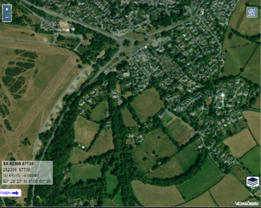
Image 34B The equivalent modern satellite image indicating the development of Yelverton. The former RAF Harrowbear can be seen built over the course of the Plymouth and Dartmoor Railway. The airfield is now a grassy common popular with picnicking families. Copyright National Library of Scotland. https://maps.nls.uk/index.html
r
r
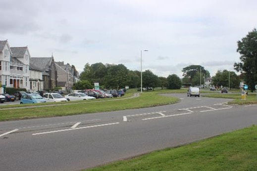
Image 35. Yelverton roundabout and common, looking east. It not possible to trace the remains of the railway at this point though some of the roundabout kerb stones appear to be re-purposed granite setts, and a couple of setts were stacked in the car park across the road. Copyright Ed Hooper
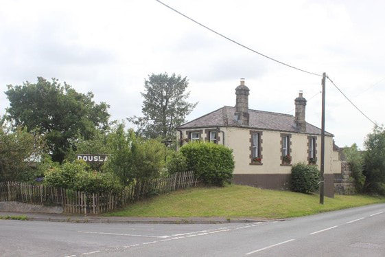
From Yelverton Common the trackbed crosses Dousland Road and Kirkella Road before the P&DR trackbed is then subsumed by the GWR Princetown Branch, to which it was sold in 1878.
Thereafter the remains of the P&DR consist of a small number of deviations from the GWR branch and of the various quarry branches and sidings on the moors.
The Princetown Branch runs mainly on private farmland from Yelverton to Dousland so we took the decision to cycle up Dousland Road.
Image 36. GWR Dousland Station, perched on a tight curve and well maintained by the current owner. Copyright Ed Hooper.
This was followed shortly by re-watering and re-coaling at the Burrator Inn in preparation for the final push to Princetown. We then cycled up onto Yennadon Down which is where the railway emerges onto open moorland and Dartmoor proper.
Image 37 The Yennadon horseshoe turn looking west, still traceable on its raised embankment. This tight curve was a very distinctive feature of the P&DR. Copyright Ed Hooper
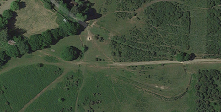
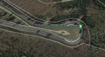
Image 38A The Yennadon horseshoe turn (radius 70ft) can be made out in the above satellite image, where the line almost completely doubles back on itself before running on the East side of Yennadon Down. The practical reason for this routing may well have been to pass Yennadon stone quarry. The latter GWR Princetown Branch was unable to meet this tight turn and routed instead eastwards towards Burrator. Image courtesy of Google Maps
Image 38B. A slightly pointless but amusing geographical comparison with the above image…the Caracciola Carousel on the Nürburgring Nordschleife motor racing circuit, Germany (radius 96ft). The idea was clearly plagiarised from the P&DR. Image courtesy of Google Maps
.
.
Image 39 The P&DR, having made its horseshoe turn, heads around the East side of Yennadon Down. This next section is a private metalled road serving a few houses. It eventually leads through the grounds of a house misleadingly named “The Old Halt” and then past Yennadon Stone Quarry which is still active. The 1884 map indicates that the quarry was served by a siding off the Plymouth and Dartmoor Railway. Granite setts and another passing loop confirm we are on the right track. Copyright Ed Hooper
The P&DR then enters Dousland Plantation, a private woodland before crossing the B3212 Yelverton Road near Yennadon Cross.
The P&DR then enters Dousland Plantation, a private woodland before crossing the B3212 Yelverton Road near Yennadon Cross.
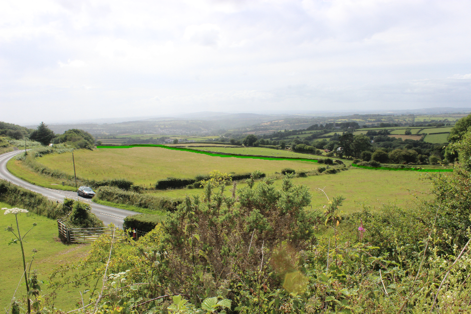
Image 40 Approaching the overbridge at Peek Hill where the GWR Princetown branch crosses the B3212 Yelverton to Tavistock road. According to Kingdom’s book “The Princetown Branch” prison warders would stand at this bridge during a convict break out – though I’m sure this didn’t happen too often. This view is looking west where the course of the P&DR is highlighted. Good remains of bridge abutments are present on Peek Hill farm lane (indicated by the gap). Copyright Ed Hooper
The P&DR course then vanishes through a couple of further fields before re-joining the Princetown Branch.
Part 6 will explore the upper section of the Princetown Branch, including the P&DR deviations.
The P&DR course then vanishes through a couple of further fields before re-joining the Princetown Branch.
Part 6 will explore the upper section of the Princetown Branch, including the P&DR deviations.
Part 6
Plymouth and Dartmoor Railway – Part 6
Yennadon to Princetown
Yennadon to Princetown
Part 6 Yennadon to Princetown
After meeting the Yelverton to Princetown GWR track bed we were not expecting to find many traces of the P&DR, but we were pleasantly surprised.
After meeting the Yelverton to Princetown GWR track bed we were not expecting to find many traces of the P&DR, but we were pleasantly surprised.
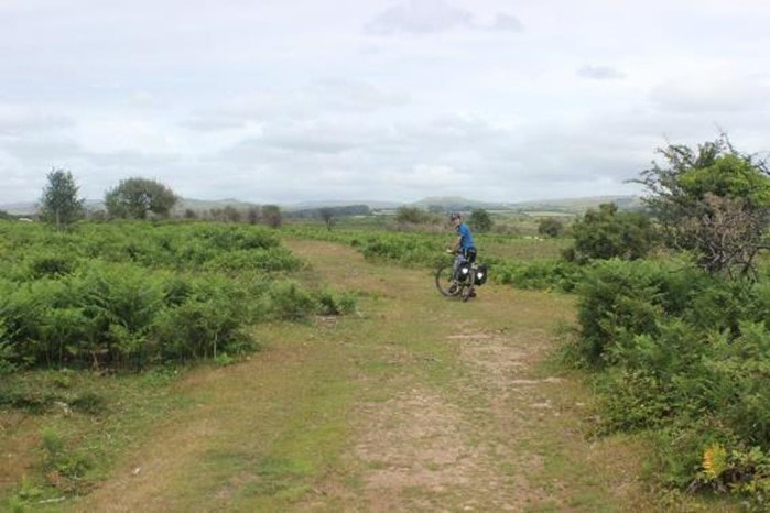
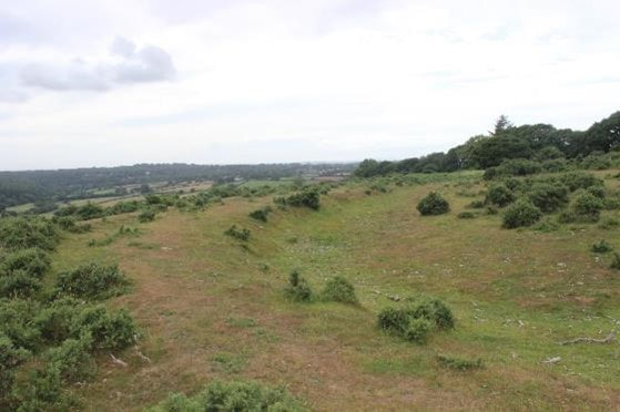
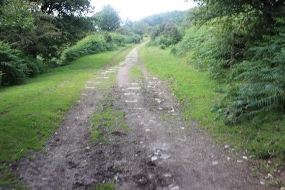
Image 41. Tim looks on wistfully. On the left of the trackbed we were surprised to find some granite setts from the P&DR. It is plausible that the setts were buried under a layer of ballast for the lifetime of the Princetown Branch and that the regrading of the surface for use as a cycleway has since revealed them again. We found quite a few such examples of this. Copyright Ed Hooper
The gradient from here to Princetown is unrelenting. The plan for the P&DR, as communicated on 3rd Nov 1818, through “A Substance of Statement made to the Chamber of Commerce, Plymouth…” specifies a gradual gradient of “half an inch in three feet” At 1:72 this would seem consistent with the typical gradient profile of the upper section of the Princetown Branch, though the GWR gradient profiles indicate briefly a 1:41 gradient on this stretch.
Further, “On descending a line a horse could readily draw to Crabtree from twelve to fifteen tons in five hours, or ascending line, return to Dartmoor prison with four tonnes in six hours, without any of that exposure to injury or irregularity of conveyance…without the least impediment from winds, rains or frosts, and with an incalculable saving of time, expense, and animal, as well as human, labour…. the horse will be able to travel with ease at the rate of seven miles per hour, drawing a load in proportion.” This reads like a positive sales pitch, but the reality of pulling granite loads through this barren and exposed landscape must have been very different.
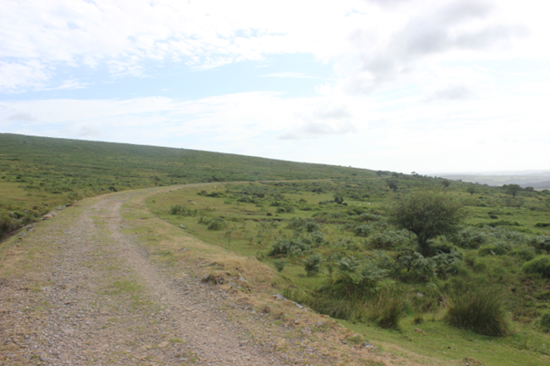
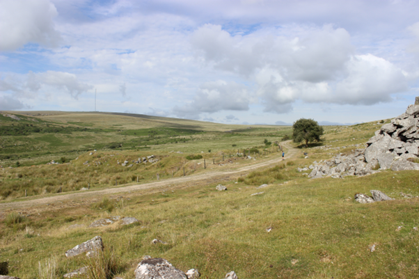
Image 42 The rugged beauty of the Princetown branch. Cycling along this most scenic of disused railways is a truly epic experience...in good weather. The surface is a little hard going in places but the landscape and views are unforgettable. Copyright Ed Hooper.
Image 43 The site of Ingra Tor Halt, which was bult to transport quarry workers and open for only twenty years between 1936 and 1956. Ingra Tor had a quarry which was served by a short spur from the P&DR. The view has changed little since the line closed in 1956. Copyright Ed Hooper.
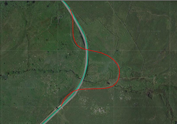
Image 44 The Yes Tor deviation (in red) which avoided the building of both an embankment and a cutting. The GWR route is in green. Image courtesy of Railmap Online. https://www.railmaponline.com/UKIEMap.php
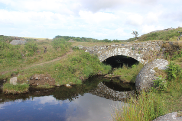
Image 45 Yes Tor bridge from the west, an original P&DR structure. Copyright Ed Hooper
Image 46 A view of the GWR Princetown line with its bridge, embankment and cutting, taken from Yes Tor P&DR deviation. The P&DR can be seen crossing the Princetown branch at right angles to the cutting. Copyright Ed Hooper.
Image 47 Now in the heart of quarrying country, Swelltor siding climbs up to the left. It was known to be in use shortly after the P&DR was built. On the immediate right is the base of Swelltor Sidings Groundframe which was housed in a small cabin, dating from GWR days. Copyright Ed Hooper.
Image 48 Looking back at the approach to the King Tor deviation. The GWR Princetown Branch is on the right and the former P&DR course is on the left. Copyright Ed Hooper.
Image 49 The King Tor deviation looking north. Copyright Ed Hooper.
Image 50 The King Tor deviation rejoining the GWR line, which took a more direct curve involving the excavation of a small cutting. Copyright Ed Hooper.
Image 51 Looking back to King Tor near the site of the halt that bore its name. Granite setts are visible from the P&DR. Copyright Ed Hooper.
Image 52 A panoramic view of the line from near King Tor Halt, looking back along the line towards Ingra Tor. The loop around King Tor, about 2½ miles in length, was so circuitous that it was possible to alight at King Tor Halt, cross this narrow neck of the quarries and reach Ingra Tor Halt before the train reached the halt. Copyright Ed Hooper.
Image 53 The P&DR branch to the ruinous buildings of Foggintor with points in the foreground leading to a quarry. The Foggintor quarries, railways and buildings deserve a full exploration in their own right and the reader is directed to a great little book on the subject, “The railways, Quarries and Cottages of Foggintor” by Kath Brewer. Copyright Ed Hooper.
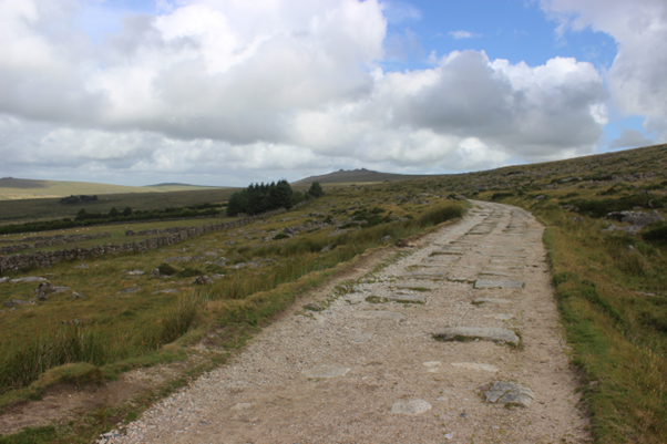
Image 54 Another superb row of granite setts towards Yellowmeade. Copyright Ed Hooper.
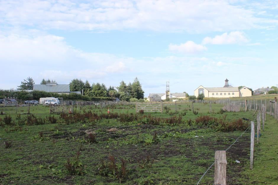
Image 55 The site of Princetown Railway Station, buildings long gone. But wait, what is this… a Pagoda Roof on the skyline? It could almost be Dalwhinnie in the Highlands. But no, this is Devon and it’s the new Dartmoor whisky distillery nearing completion in 2023. Copyright Ed Hooper.
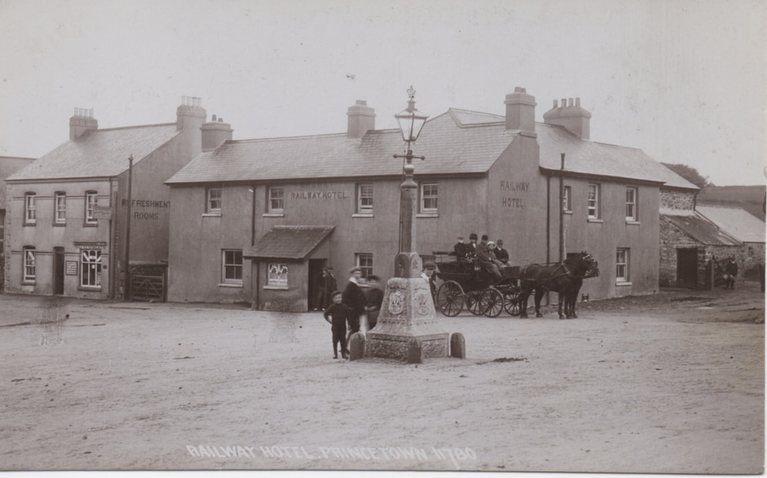
Image 56 The Railway Hotel, Princetown. The stables for horses were located in the backyard here so it seemed only natural to stay here. Did the P&DR rails ever extend as far as this? The gradual curve of the approach road implies perhaps yes but I have not seen any photographs or maps to suggest so. There were also plans for a railway link to the jail, but these never materialised. Photo is an old Chapman Cards postcard, S/N 11780 https://oldprincetown.weebly.com/
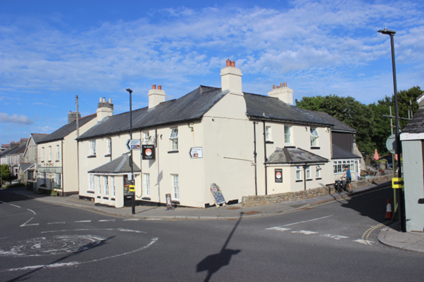
Image 57 Journey’s end - The Ramblers Rest, formerly the Devil’s Elbow Inn and prior to that the Railway Hotel. Copyright Ed Hooper
Currently a well-run establishment which offers self-catering rooms, the use of an outdoor kitchen and a hot tub. Weary limbs were soaked in said hot tub with the novelty of clear Princetown skies above (how many days a year is that possible here…?) https://ramblersrest.uk/
The trip was only 25 miles of cycling but with the early start, all the deviations and the ascent from sea level to 415m this felt quite a tiring day.
End of the line for the Plymouth and Dartmoor Railway
By 1835 the line was complete including branches to Sutton Pool, Plympton and a private branch to Cann Quarry. There was heavy traffic, mostly granite from the Johnson owned quarries, but also a growing trade in slate stone and china clay. However, the company was heavily in debt, partly from its initial outlay involved in building the line, but also, as Kendall points out, due to the changing industrial pattern of the early nineteenth century.
The arrival of the South Devon Railway in 1848 and then the Plymouth and Launceston Railway in 1859, tied up with the acquisition of the Lee Moor Tramway (incorporating the Cann Quarry branch) created a protracted series of challenges and competitions for the P&DR.
Despite its reconstitution in 1865 and a brief resurgance in the transport of granite and china clay, the GWR’s intention to build a branch to Princetown prompted the sale of the upper section of the P&DR. This cut off the line’s main source of revenue and resultingly the section of railway from Yelverton to Crabtree fell into disuse in around 1878.
Final Thoughts
Despite being built two hundred years ago the line is remarkably intact in places. It is well worth exploring on foot or by bicycle, whether it’s of the lower sections through the woods above the River Plym, or the open moorland sections towards Princetown (branded as the Granite and Gears cycle route). We turned it into a round trip, returning the next day via Tavistock and the Plym Valley Railway. I certainly would like to take time to explore the quarries at Foggintor and Swelltor further.
With an announcement in December 2021 that Dartmoor Prison will stay open to 2023 and beyond, Princetown seemingly has a bright future for the folk who live and work there. The addition of a new whisky distillery should attract additional tourists and surely would meet with approval of Sir Thomas Tyrwhitt, Princetown’s founder.
Bibliography
Other Useful sources of information:
Dedication
This article is dedicated to our uncle Charles Fennamore who travelled on the Princetown line a few times including on its last day, 3rd March 1956, cycling the return leg in thick mist with his cousin John Lewthwaite on their 1954 Raleigh Lenton Sports bicycles. Had they realised the very last train would run on the return leg back to Yelverton they would have hopped back on instead.
We took the opportunity of exploring the P&DR to take Charles on one last adventure. The Princetown Branch always had a particular allure for him, and he was saddened like so many others, to see it pass into history. For some years in the early 1970s Charles also worked at Dartmoor prison as a probation officer, and he would drink in the Plume of Feathers.
What better place than Ingra Tor Halt then to alight, being careful of the snakes once referred to on its famous sign, and to venture up on to the tor to scatter Charles’ ashes. He is now high up on Dartmoor, with the Princetown Branch on no fewer than three sides, the sound of a 45XX labouring with two carriages up the unceasing gradient.
Currently a well-run establishment which offers self-catering rooms, the use of an outdoor kitchen and a hot tub. Weary limbs were soaked in said hot tub with the novelty of clear Princetown skies above (how many days a year is that possible here…?) https://ramblersrest.uk/
The trip was only 25 miles of cycling but with the early start, all the deviations and the ascent from sea level to 415m this felt quite a tiring day.
End of the line for the Plymouth and Dartmoor Railway
By 1835 the line was complete including branches to Sutton Pool, Plympton and a private branch to Cann Quarry. There was heavy traffic, mostly granite from the Johnson owned quarries, but also a growing trade in slate stone and china clay. However, the company was heavily in debt, partly from its initial outlay involved in building the line, but also, as Kendall points out, due to the changing industrial pattern of the early nineteenth century.
The arrival of the South Devon Railway in 1848 and then the Plymouth and Launceston Railway in 1859, tied up with the acquisition of the Lee Moor Tramway (incorporating the Cann Quarry branch) created a protracted series of challenges and competitions for the P&DR.
Despite its reconstitution in 1865 and a brief resurgance in the transport of granite and china clay, the GWR’s intention to build a branch to Princetown prompted the sale of the upper section of the P&DR. This cut off the line’s main source of revenue and resultingly the section of railway from Yelverton to Crabtree fell into disuse in around 1878.
Final Thoughts
Despite being built two hundred years ago the line is remarkably intact in places. It is well worth exploring on foot or by bicycle, whether it’s of the lower sections through the woods above the River Plym, or the open moorland sections towards Princetown (branded as the Granite and Gears cycle route). We turned it into a round trip, returning the next day via Tavistock and the Plym Valley Railway. I certainly would like to take time to explore the quarries at Foggintor and Swelltor further.
With an announcement in December 2021 that Dartmoor Prison will stay open to 2023 and beyond, Princetown seemingly has a bright future for the folk who live and work there. The addition of a new whisky distillery should attract additional tourists and surely would meet with approval of Sir Thomas Tyrwhitt, Princetown’s founder.
Bibliography
- The Plymouth and Dartmoor Railway, H.G. Kendall, Oakwood Press, 1968,
- The Plymouth and Dartmoor Railway and Lee Moor Tramway, Eric R. Shepherd, ARK Publications, 1997, ISBN 1-973029-06-3
- The Railways, Quarries and Cottages of Foggintor, Kath Brewer, Orchard Publications, 1997, ISBN 1 898964 30 0
- Wikipedia https://en.wikipedia.org/wiki/Plymouth_and_Dartmoor_Railway
- Ordnance Survey Maps, various formats and dates, available on National Library for Scotland website, https://maps.nls.uk/os/
Other Useful sources of information:
- The Lee Moor Tramway, R.M.S Hall, Oakwood press, 1963
- Industrial Archaeology of Dartmoor, Helen Harris, David and Charles, ISBN 0 7153 4302 5, 2nd Ed, 1972
- The Princetown Branch, Anthony R Kingdom, Oxford Publishing, ISBN 86093 004 1, 1979
- Railway Landmarks of Devon, Jean Hall, David and Charles, ISBN 0-7153-8363-9, 1982
- The Tavistock, Launceston and Princetown Railways, G.H Anthony, Oakwood Press, 2nd Ed, 1983
- The Canals of South West England, Charles Hadfield, David and Charles, ISBN 0 7153 8645 X, 2nd Ed, 1985
- Princetown – It’s Rise and Progress, William Crossing, Quay Publications, ISBN 1 870083 30X, 1989
- The Lee Moor Tramway, Bryan Gibson, Plymouth Railway Circle, ISBN 0 9521139 0 2, 1993
- An Illustrated History of Plymouth’s Railways, Martin Smith, Irwell press, ISBN 1-817608-41-4, 1995
- Dartmoor, Images of England, Tom Greeves, Tempus Publishing, ISBN 0 7524 3146 2, 2004
- Great Western Infrastructure 1922-1934 Stations / signalling / trackwork, photographs from the E Wallis Collection, David Wallis and Noodle Books, ISBN 978-1-909328-25-9, 2014
- Plymouth’s Hidden Railways, Paul Burkhalter, Twelveheads, ISBN 978 0 906294 92 5, 2017
- Old Princetown website https://oldprincetown.weebly.com/
Dedication
This article is dedicated to our uncle Charles Fennamore who travelled on the Princetown line a few times including on its last day, 3rd March 1956, cycling the return leg in thick mist with his cousin John Lewthwaite on their 1954 Raleigh Lenton Sports bicycles. Had they realised the very last train would run on the return leg back to Yelverton they would have hopped back on instead.
We took the opportunity of exploring the P&DR to take Charles on one last adventure. The Princetown Branch always had a particular allure for him, and he was saddened like so many others, to see it pass into history. For some years in the early 1970s Charles also worked at Dartmoor prison as a probation officer, and he would drink in the Plume of Feathers.
What better place than Ingra Tor Halt then to alight, being careful of the snakes once referred to on its famous sign, and to venture up on to the tor to scatter Charles’ ashes. He is now high up on Dartmoor, with the Princetown Branch on no fewer than three sides, the sound of a 45XX labouring with two carriages up the unceasing gradient.
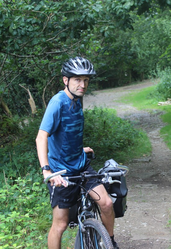
Photographs of the participants.
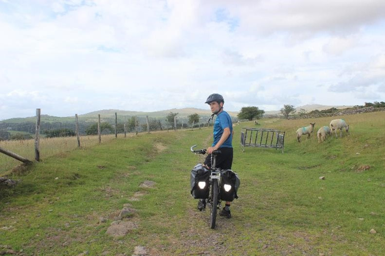
Please find attached photos of Charlie, Tim and me as requested.
Charlie's photo is taken in about 1986, with his first generation mountain bike, a 10-speed MBK Adventure.
At the time the low gearing was quite revolutionary.
The photo is also datable because the shed in the background blew down in the 1987 storm.
Tim has a less favourable memory of this bike, having tumbled off it ten years later and fracturing his skull.
Feel free to post these at the end of the article.
Thanks,
Edward Hooper
A very sincere thank you to Edward Hooper who has painstakenly taken us on a journey on the Plymouth and Dartmoor Rail using a collection of personal photographs, there are over sixty, together with a detailed story of his and brother Tim's exploration of the P & D Railway.
Nigel Ratledge takes a look at
Cornish semaphore signalling
in summer 2023
Cornish semaphore signalling
in summer 2023
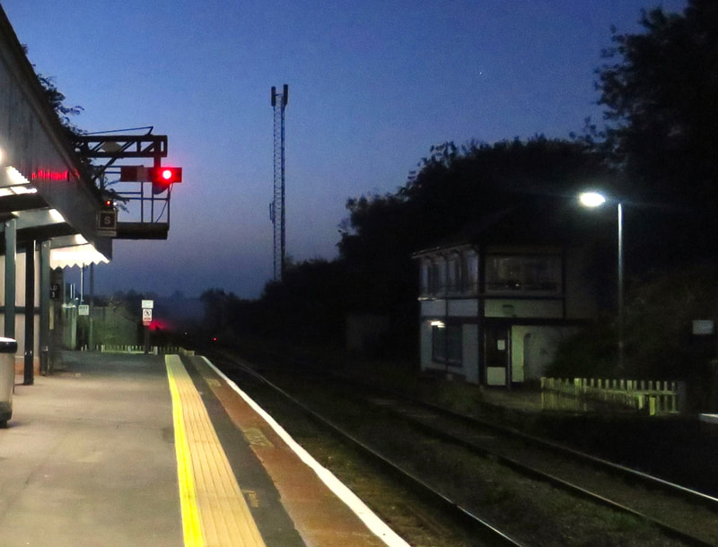
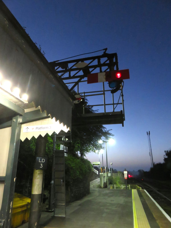
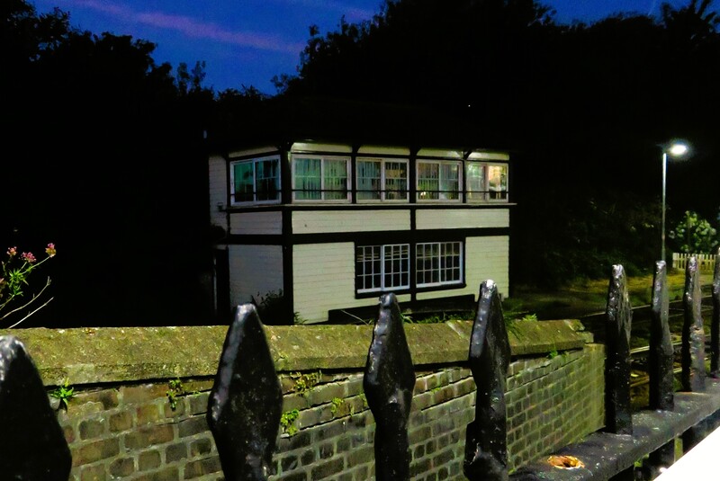
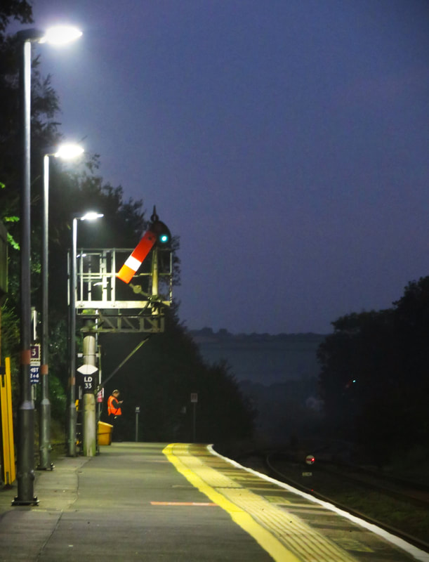
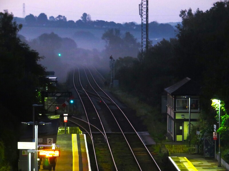
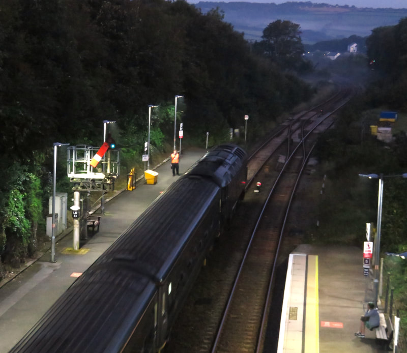
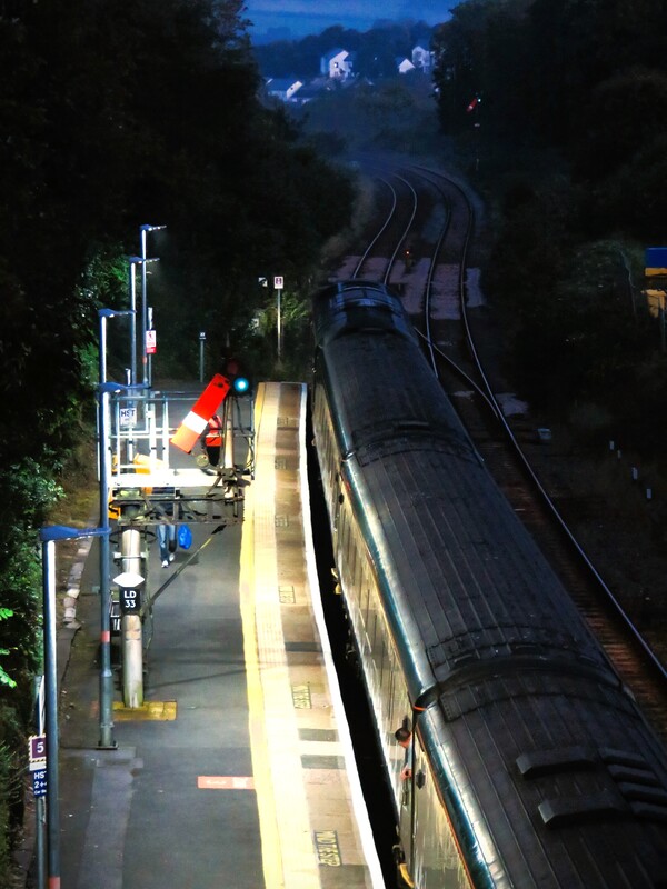
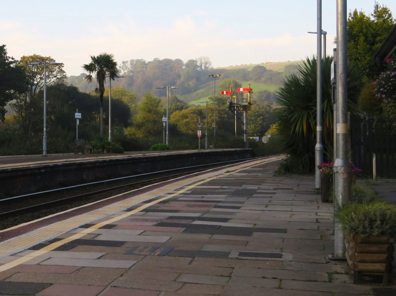
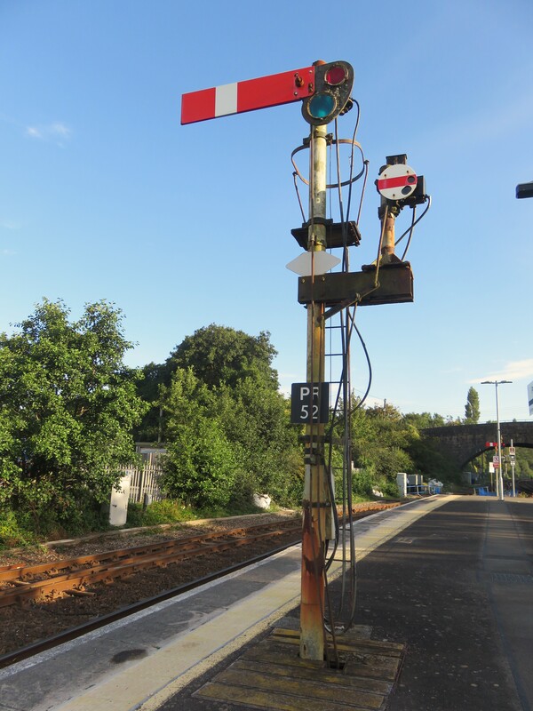
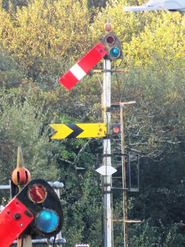
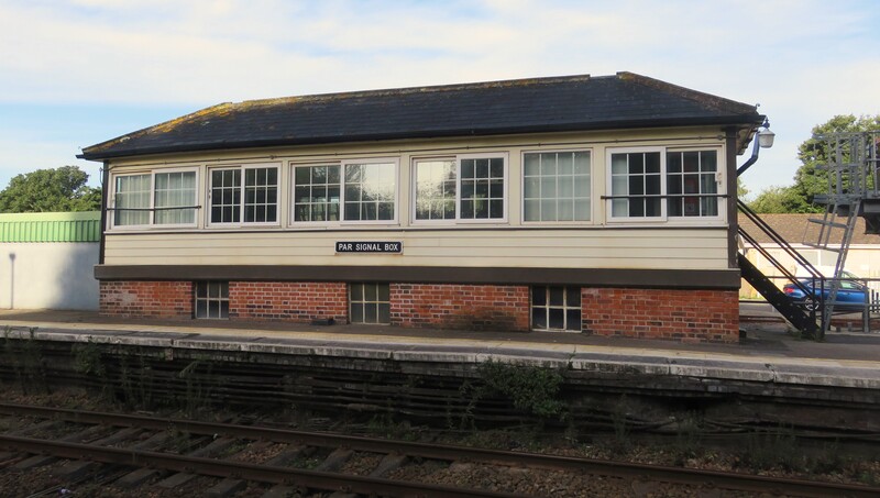
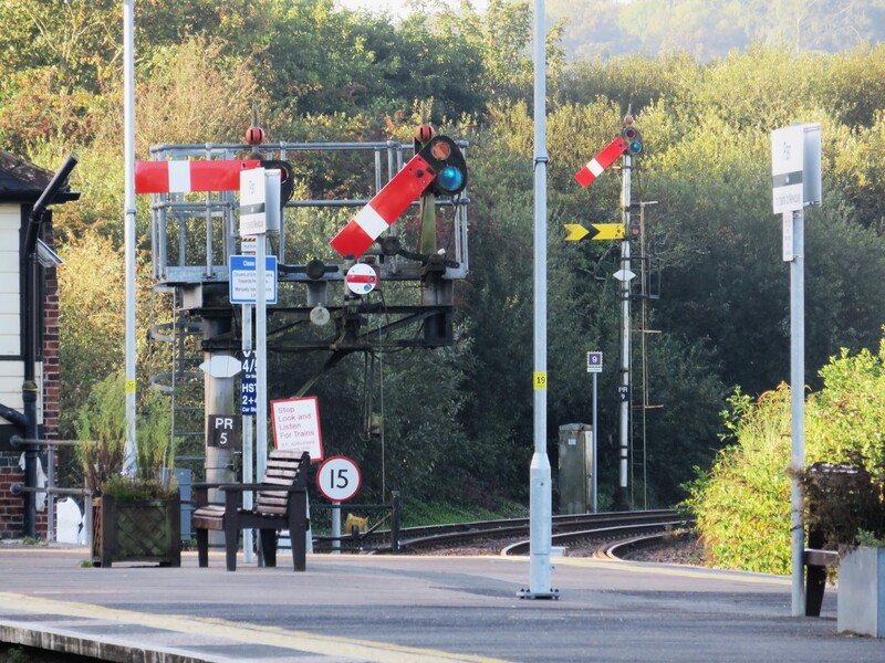
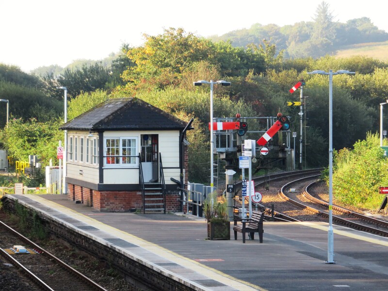
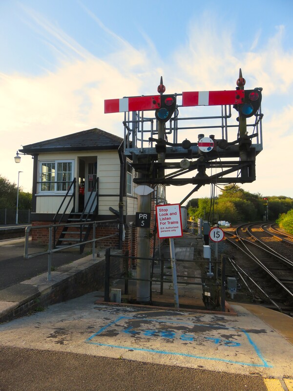
In early August 2023 Nigel Ratledge kindly sent in noteable views which he had taken of Semaphore Signalling at Liskeard, Lostwithiel and Par.
Copyright Nigel Ratledge.
Thank you Nigel - all pictures your copyright.
Thank you Nigel - all pictures your copyright.
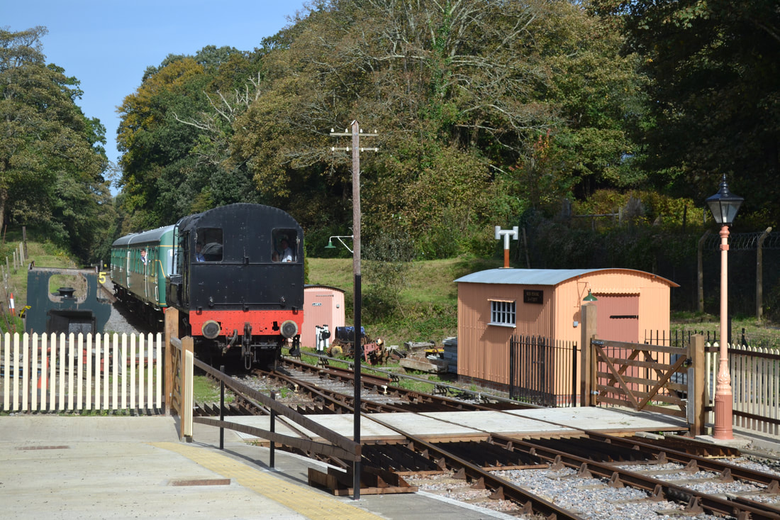
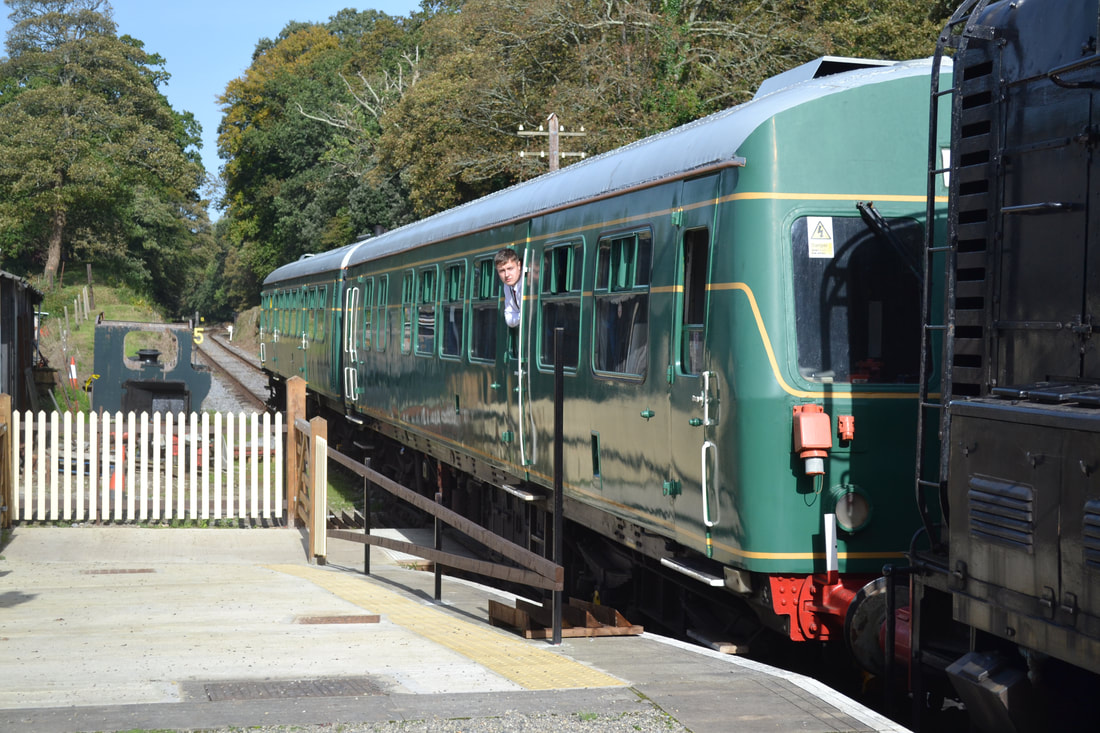
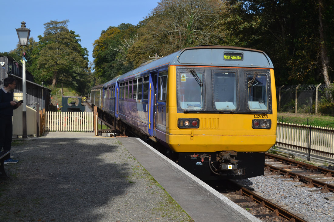
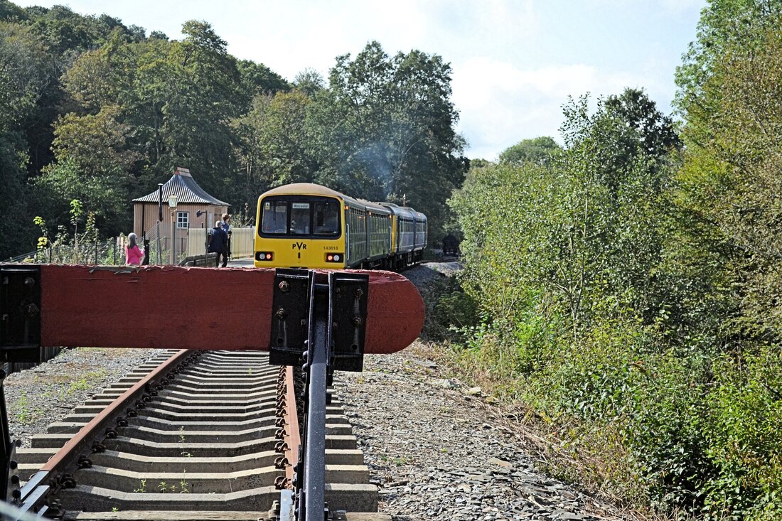
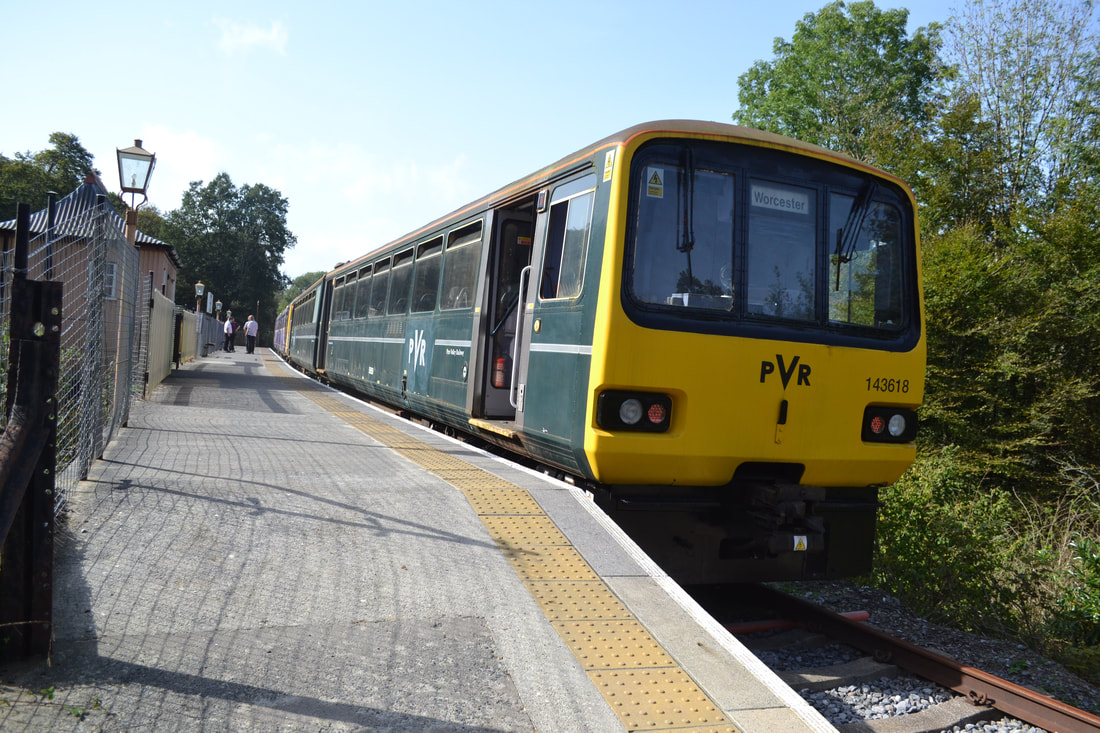
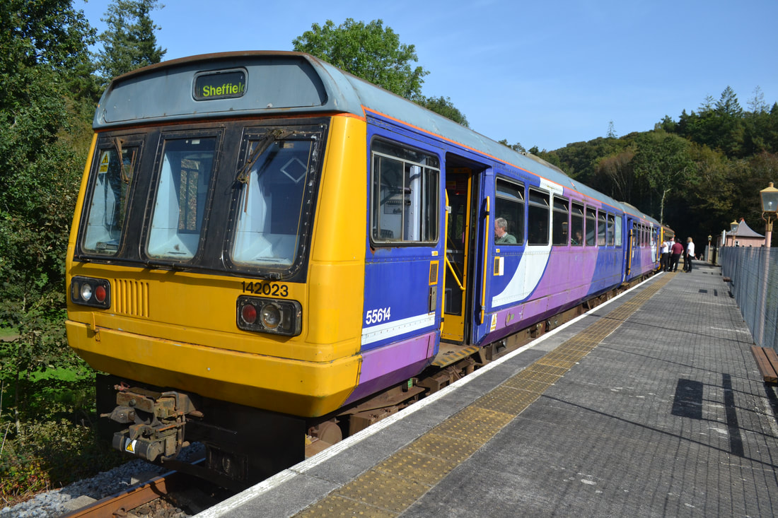
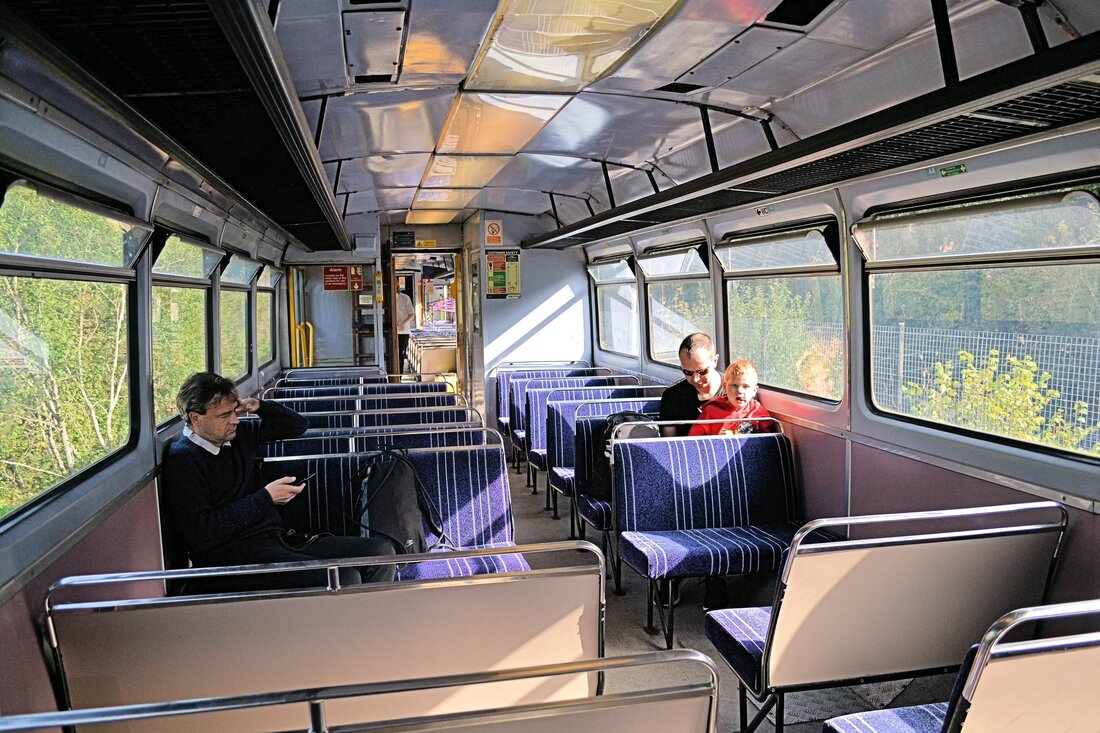
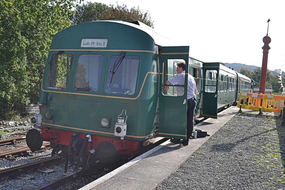
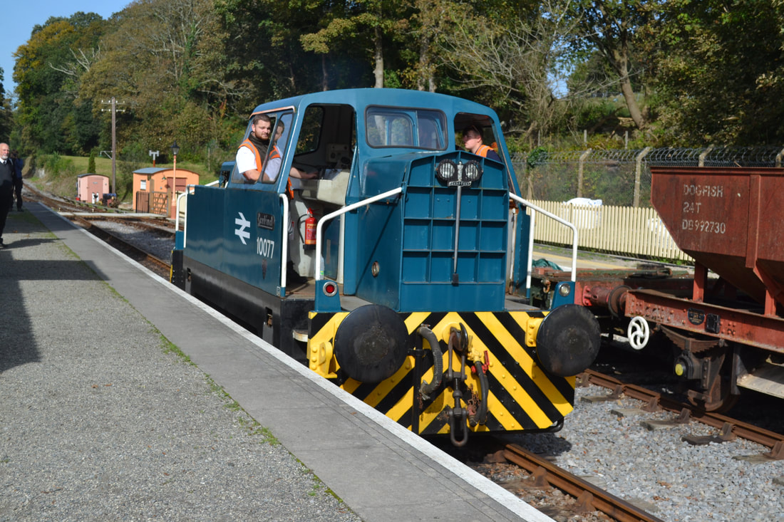
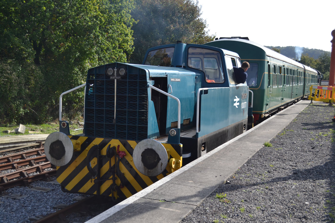
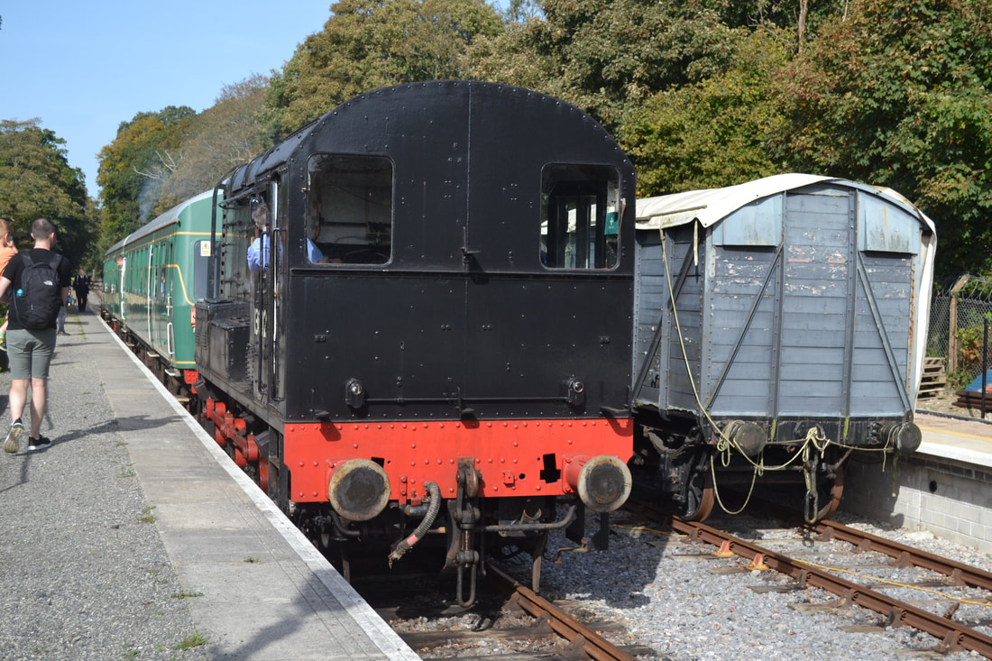
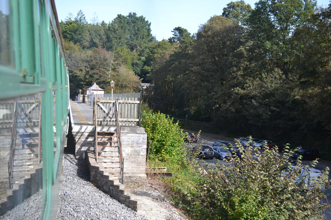
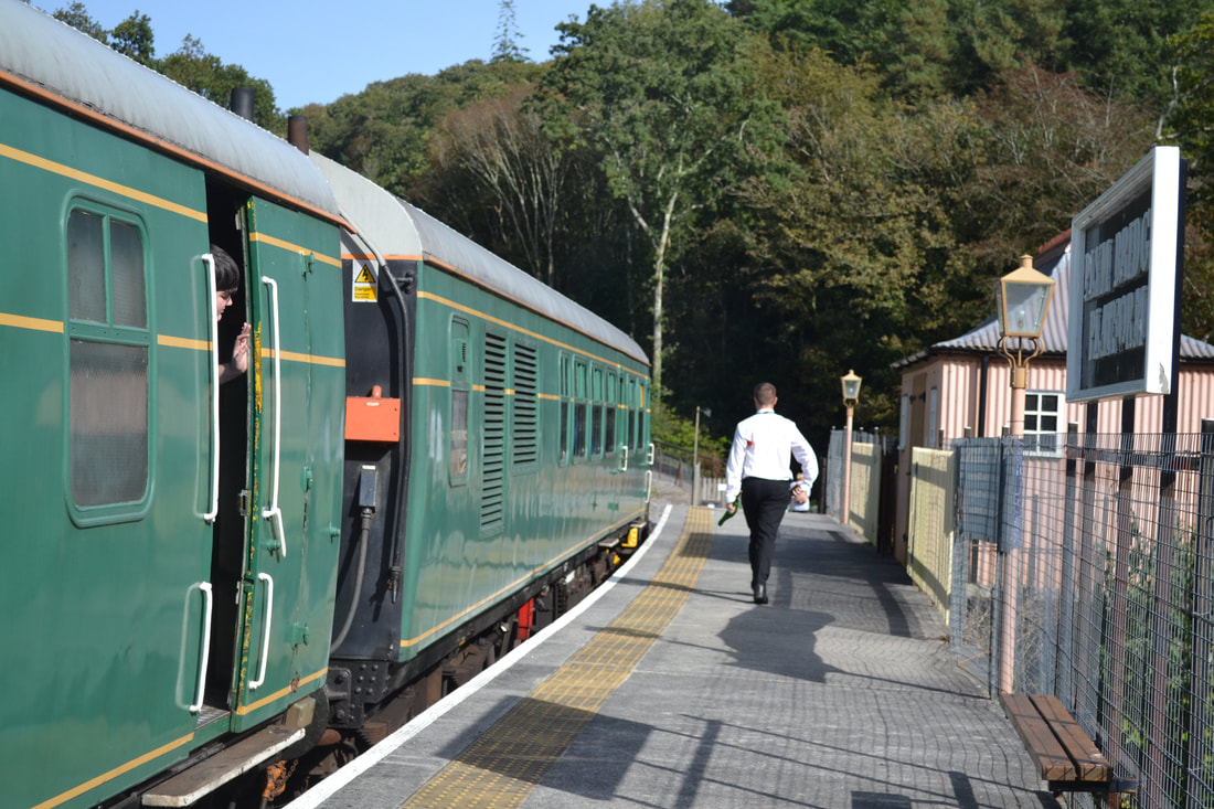
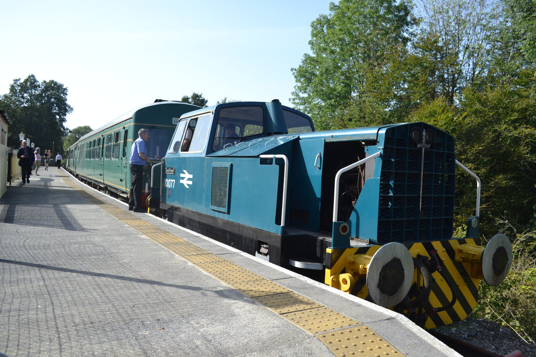
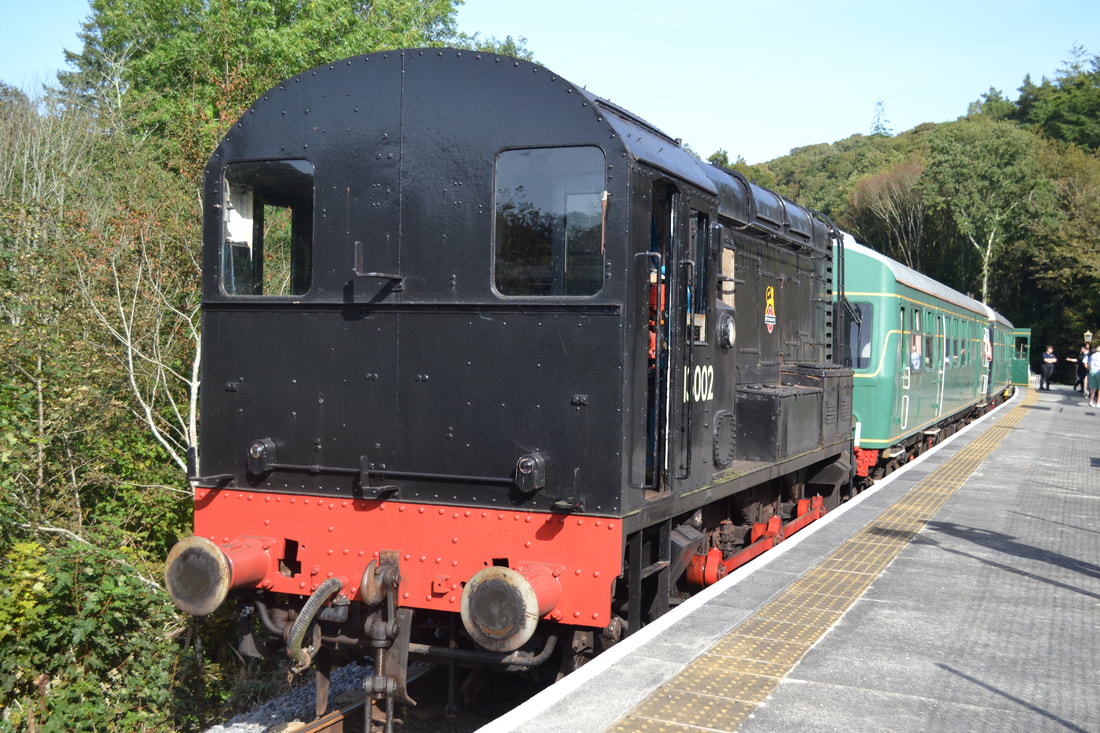
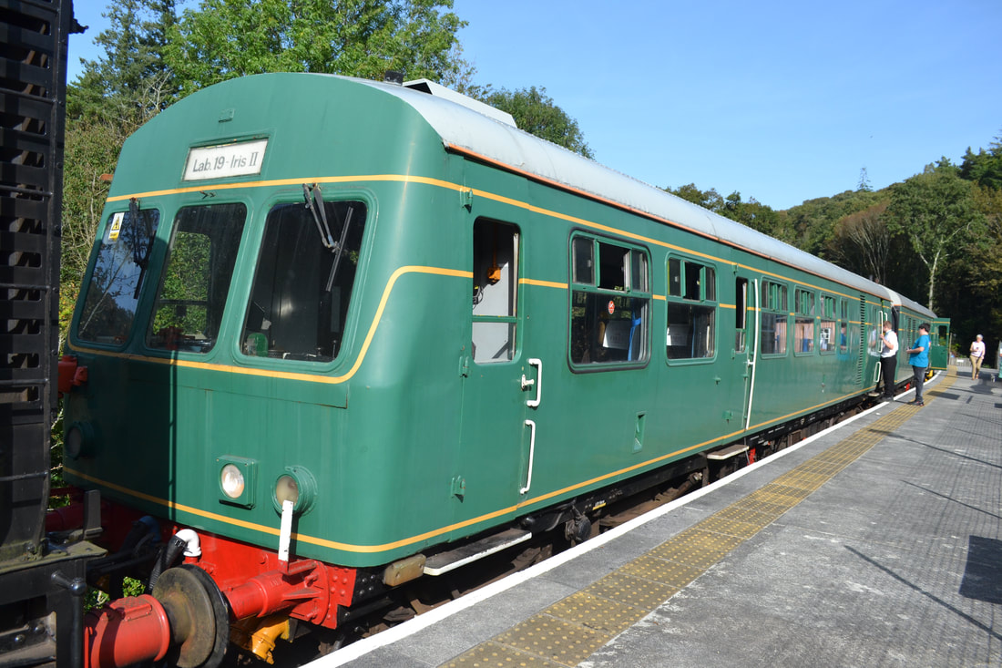
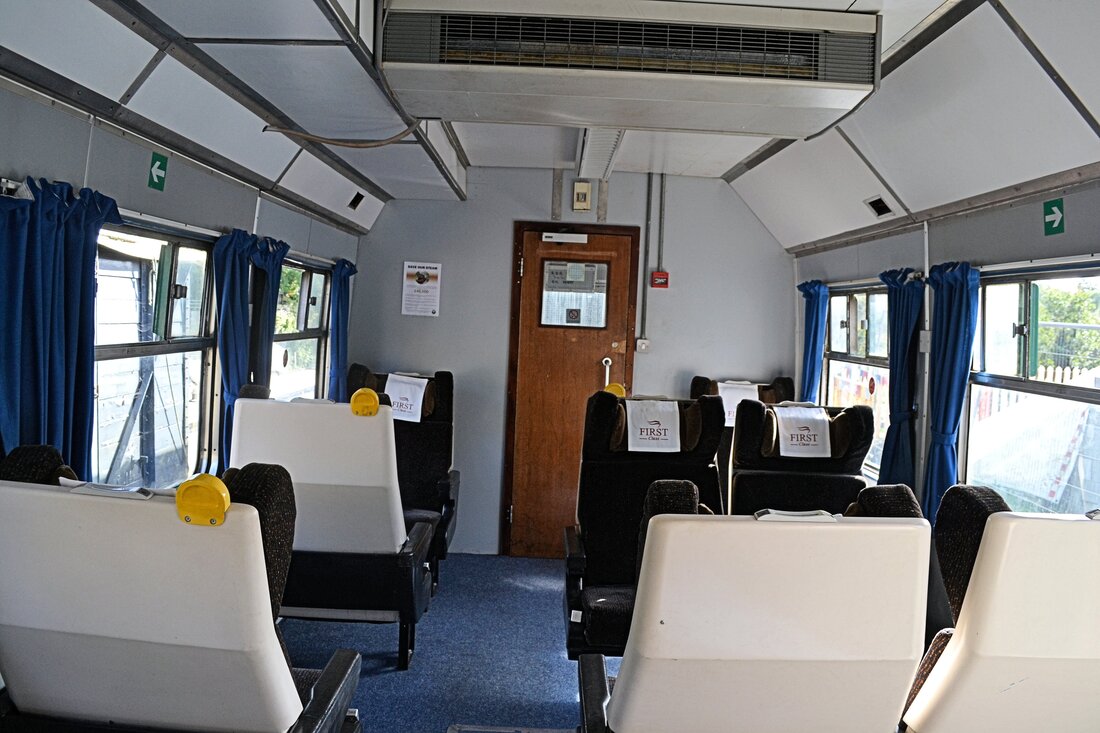
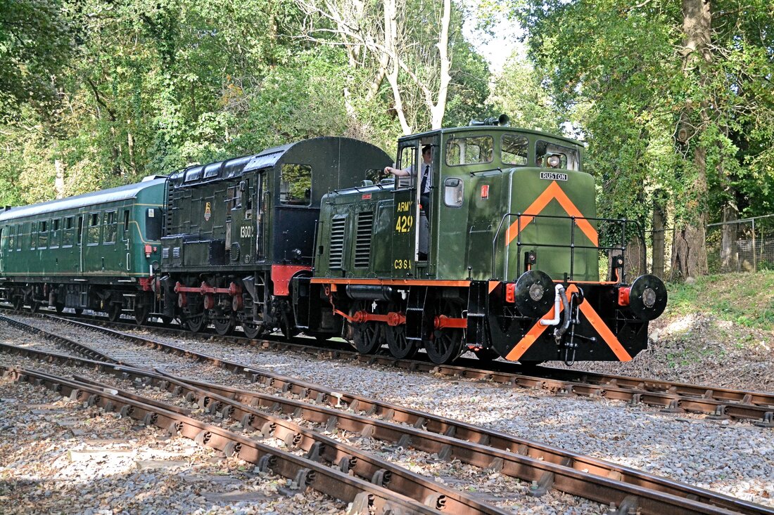
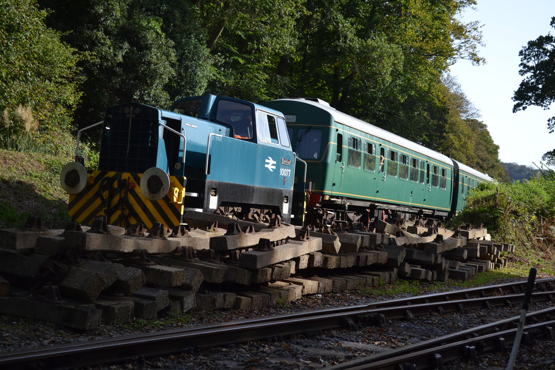
The Plym Valley Autumn Diesel Gala Saturday 7th October 2023
Roger Winnen
Roger Winnen
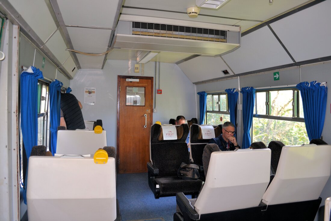
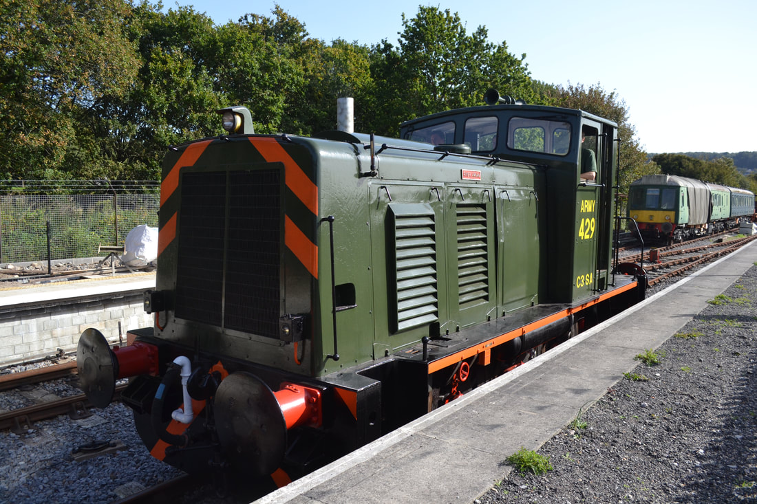
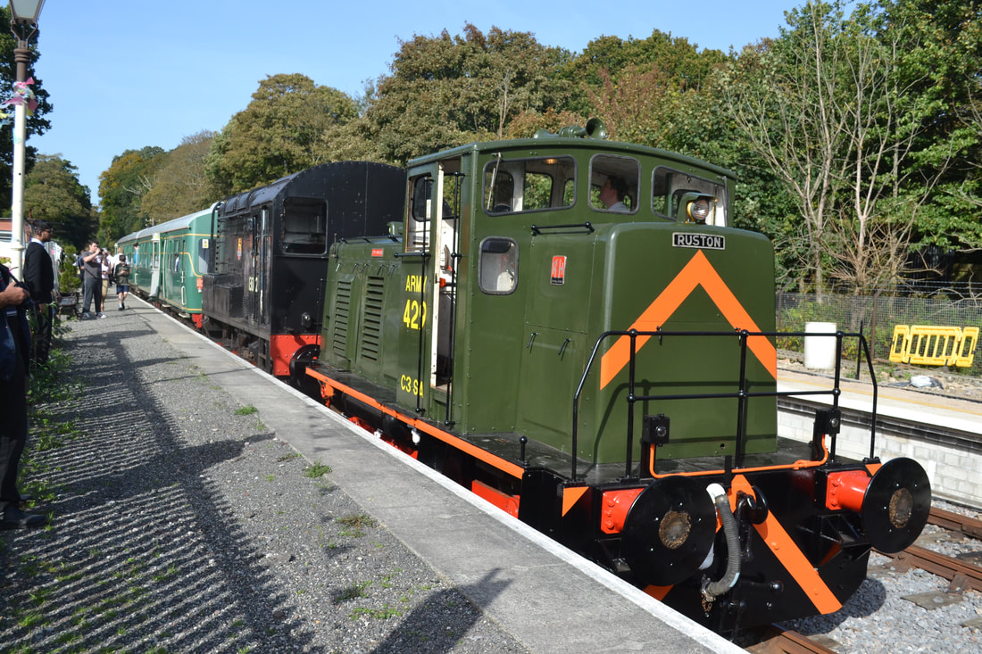
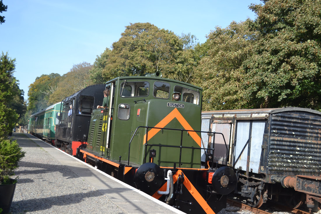
Congratulations to the Plym Valley Railway for staging an Autumn Diesel Gala which was well organised and ran to time. Today marks the Autumn Steam Gala when hopefully a larger following may support this event in the glorious autumn weather
